The best gravel rides around Vittuone
4.3
(289)
2,160
riders
94
rides
Gravel biking around Vittuone offers routes through the flat, agricultural landscapes of Italy's Lombardy region, situated within the fertile Po Valley. The area is characterized by extensive canal networks, such as the Naviglio Grande and Villoresi Canal, which provide numerous traffic-free paths. Riders can expect to traverse farm roads and tracks, exploring the rural countryside and connecting to historical towns within the Parco Agricolo Sud Milano. The terrain is predominantly flat, making it accessible for various skill levels.
Best gravel…
Last updated: October 9, 2026
4.6
(14)
142
riders
84.1km
05:07
150m
150m
Hard gravel ride. Very good fitness required. You may need to push your bike for some segments of this route.
4.0
(4)
48
riders
Hard gravel ride. Very good fitness required. Mostly paved surfaces. Suitable for all skill levels.

4.8
(6)
31
riders
Moderate gravel ride. Good fitness required. Mostly paved surfaces. Suitable for all skill levels.
3.0
(3)
36
riders
76.7km
04:52
160m
160m
Moderate gravel ride. Good fitness required. Mostly paved surfaces. Suitable for all skill levels.
5.0
(2)
25
riders
47.3km
02:54
100m
100m
Hard gravel ride. Good fitness required. You may need to push your bike for some segments of this route.
Get access to more routes and recommendations from other explorers.
Already have an account?
Our route recommendations are based on thousands of hikes, rides, and runs completed by other people on komoot.
Start today with a free account
Your next adventure awaits.


Tips from the Community

The Parco delle Groane e della Brughiera Briantea is an immense protected natural area in Lombardy that extends for about 8,249 hectares in the upper Lombardy plain, touching 28 or 29 municipalities distributed among the provinces of Milan, Como, and Monza and Brianza. [1, 2, 3, 4] Originally established in 1976, the park has doubled its surface area in recent years thanks to the incorporation of the PLIS della Brughiera Briantea and the Fontana del Guercio Nature Reserve. The term "groane" derives from the local historical name for heathlands, which here represent one of the southernmost heathlands in Europe.
0
0

The Lura is a stream in Lombardy that originates near the Italian-Swiss border, in the municipality of Uggiate con Ronago, at an altitude of about 400 m. The Lura has a total length of 46.2 km and a drainage basin of 120 km², and is today the largest tributary of the Olona river.
0
0

bridge over the Lura in the homonymous park
0
0
The main historic bridge over the Villoresi Canal in Garbagnate Milanese is located on Via Peloritana. Dating back to 1877, it is a fundamental infrastructure for city traffic and is situated near the local station, the starting point of the famous Villoresi Canal Cycle Path.
0
0
The Bridge of Cassinetta di Lugagnano is one of the most characteristic and historically significant monuments located along the Naviglio Grande, in the metropolitan city of Milan. Originally built of granite, the structure dates back to the 17th century, erected during the Spanish rule of the Duchy of Milan to connect the two historic centers divided by the canal. The bridge historically unites Lugagnano (on the right bank, of Roman origin) and Cassinetta (on the left bank, of medieval design). The bridge was completely rebuilt in a donkey-back shape in May 1862. This intervention became necessary both to repair the damage from the wars of independence (such as the nearby Battle of Magenta in 1859) and to facilitate the transit of commercial barges on the Naviglio.
0
0
The Archinto Palace (known as "The Castle") and the Naviglio Grande represent one of the most evocative and emblematic corners of the Parco Agricolo Sud Milano.
0
0

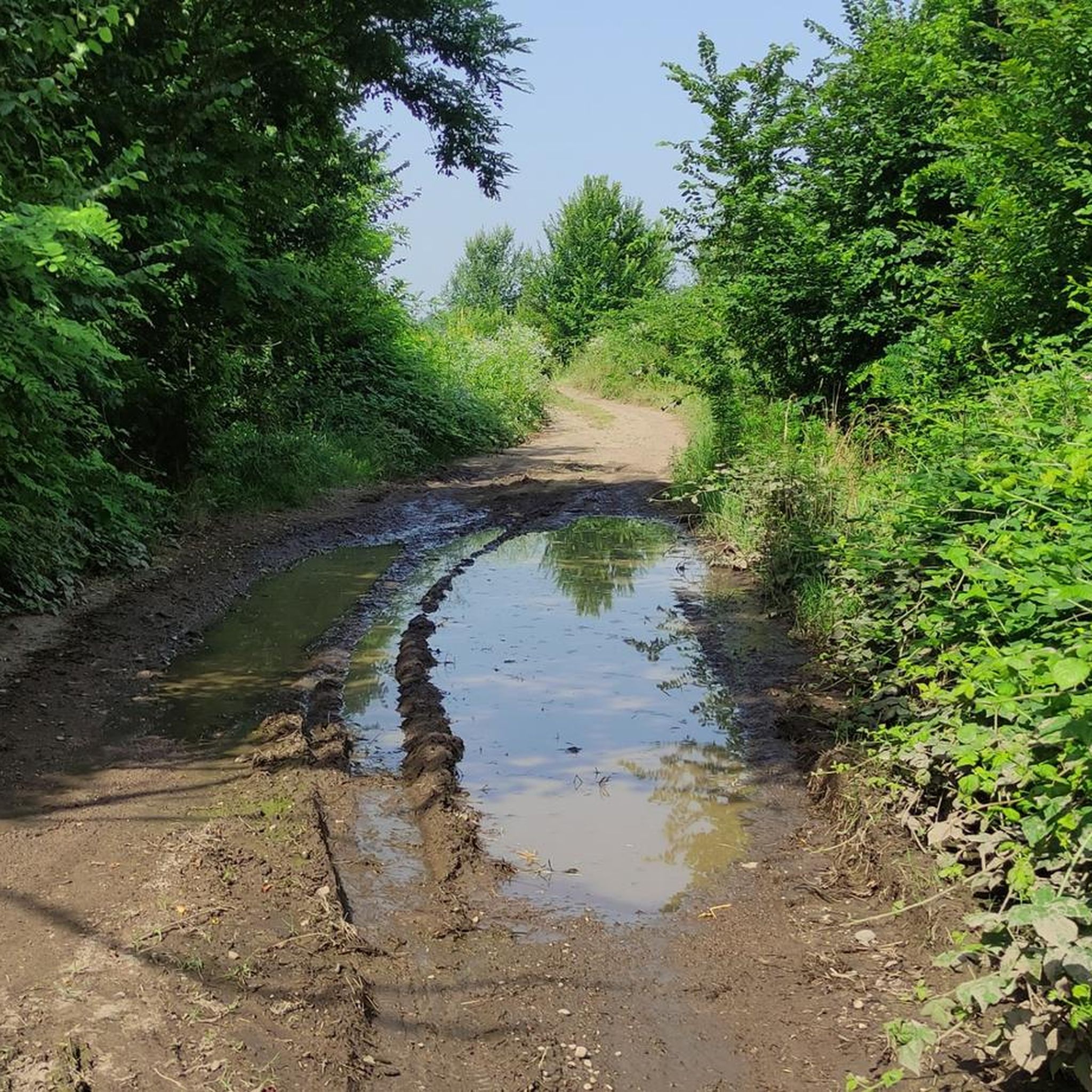
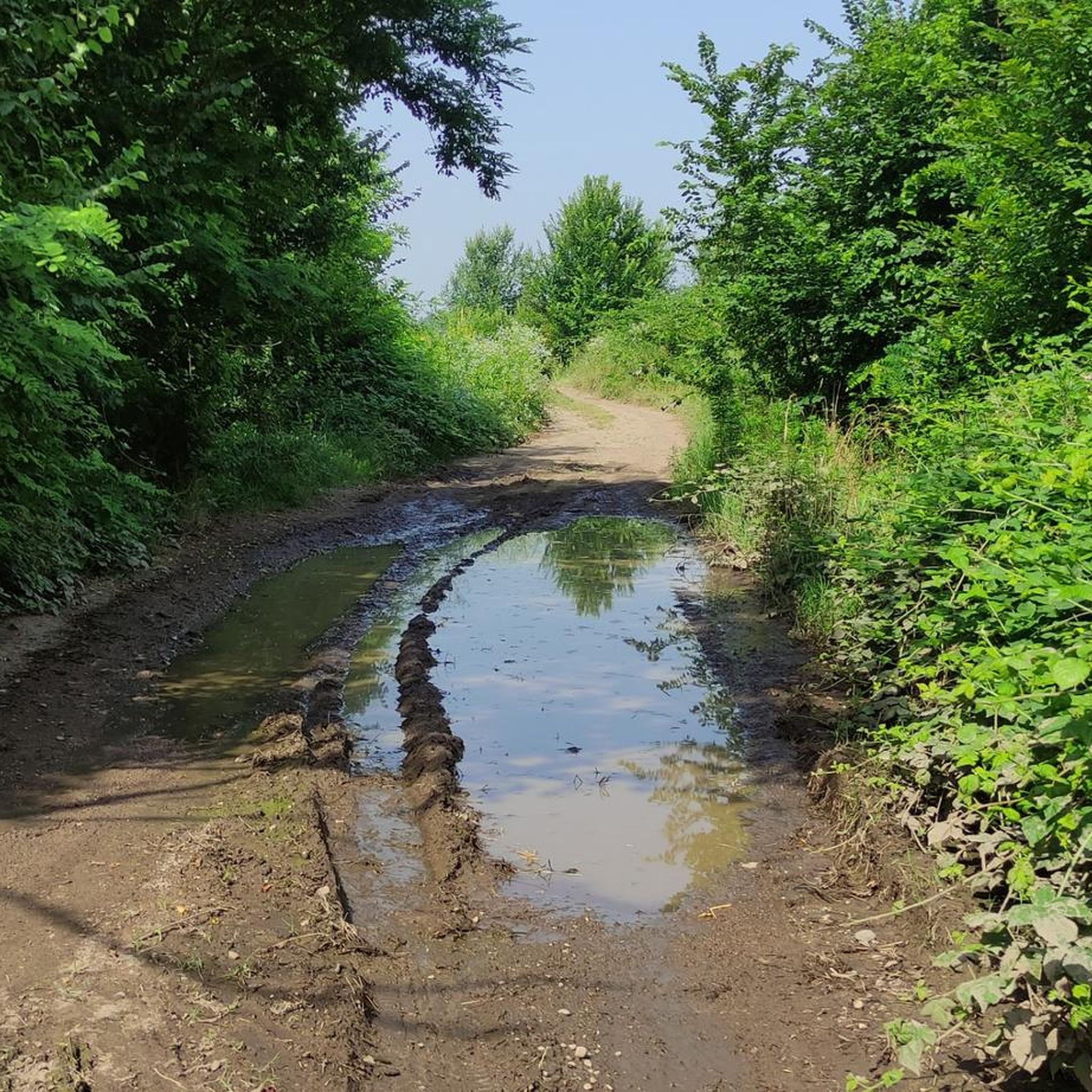
always very fun to cycle on these dirt roads!!
2
0
The Pista Ciclopedonale della Valle Olona, starting from Castellanza, mainly follows the bank of the Olona River along consortium roads to Solbiate Olona, remaining on the other side of the Valley with respect to the track of the former Valmorea Railway.
1
0
Frequently Asked Questions
How many gravel bike trails are available around Vittuone?
There are over 130 gravel bike trails around Vittuone, offering a wide range of options for different skill levels and preferences. The komoot community has explored these routes over 2,400 times.
What is the typical terrain like for gravel biking in Vittuone?
Gravel biking in Vittuone primarily features flat, agricultural landscapes within the fertile Po Valley. You'll find extensive canal networks, such as the Naviglio Grande and Villoresi Canal, providing many traffic-free paths. Riders can expect to traverse farm roads and tracks, exploring the rural countryside and connecting to historical towns.
Are there any easy gravel bike trails suitable for beginners or families?
Yes, Vittuone offers several easy routes, particularly along the canal paths. For a moderate option that's great for scenic canal-side riding, consider the Naviglio Grande Cycle Path – Naviglio Grande loop from Bareggio, which is 40.4 miles (65.1 km) long with minimal elevation gain.
What kind of historical landmarks or attractions can I see along the gravel routes?
Many routes connect Vittuone with other historic towns and villages. You might pass by notable castles and villas. For example, the Towpath of the Villoresi Canal – Visconti Castle, Legnano loop from Vittuone-Arluno can take you past the Robecco sul Naviglio Castle and the View of Villa Gaia from Robecco Bridge. Other highlights in the broader area include Palazzo Archinto and the Visconti Castle in Cusago.
Are there any natural attractions or green spaces to explore on a gravel bike?
Absolutely. The region features tranquil wetlands and lakes. You can find natural highlights like the Four Mouths, the WWF Oasis of Vanzago, and the Pond and statue at Villa Ferrario Park. The area's canal networks themselves offer picturesque natural settings.
What do other gravel bikers enjoy most about the trails in Vittuone?
The area is highly rated by the komoot community, with an average score of 4.5 stars from over 270 reviews. Reviewers often praise the extensive canal networks for providing traffic-free and scenic paths, as well as the peaceful agricultural roads that allow for a relaxing exploration of the Lombardy countryside.
Are there any long-distance or more challenging gravel routes around Vittuone?
Yes, for those seeking a longer and more challenging ride, the Scenic Forest Singletrack – Naviglio Grande loop from Vittuone-Arluno is a difficult 59.4 miles (95.7 km) trail that combines forest singletrack with sections along the Naviglio Grande canal. Another challenging option is the Villoresi Cycle Path🚲 – Scenic Forest Singletrack loop from Vittuone-Arluno, covering 76.2 km.
Can I find circular gravel bike routes in Vittuone?
Many of the gravel routes around Vittuone are designed as loops, allowing you to start and end in the same location. For example, the Naviglio Grande – Naviglio Grande Near Bernate loop from Vittuone-Arluno is a popular 26.8 miles (43.1 km) circular trail through canal paths and agricultural fields.
What is the best time of year for gravel biking in Vittuone?
The flat terrain and generally mild climate of the Po Valley make Vittuone suitable for gravel biking for much of the year. Spring and autumn typically offer the most pleasant temperatures for riding, avoiding the heat of summer and potential winter chill. The canal-side paths and agricultural roads are generally accessible in most conditions.
Is public transport available to access gravel bike trails in Vittuone?
Vittuone's proximity to Milan means it benefits from regional public transport connections. While specific details for accessing trailheads directly by public transport vary, the area's accessibility to the metropolitan region suggests options for reaching starting points, especially those near towns with train stations.
Are there any cafes or places to stop for refreshments along the gravel routes?
While specific cafes directly on every trail are not listed, the routes often connect Vittuone with other historic towns and villages. These towns, such as Robecco sul Naviglio, will offer opportunities for refreshments and local cuisine, allowing you to integrate cultural stops into your ride.
Most popular attractions around Vittuone

Get inspired with the komoot mobile app


Explore more
Browse the best Gravel rides in other regions.
