The best gravel rides around Garlate
4.2
(142)
1,066
riders
21
rides
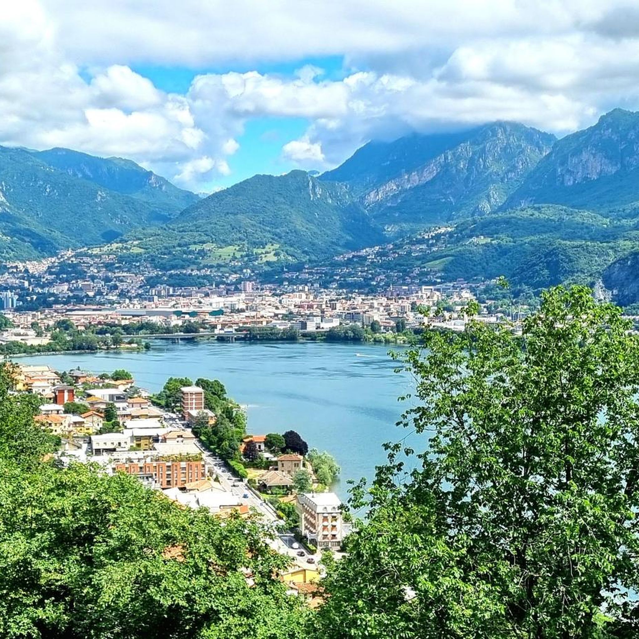
Gravel biking around Garlate is characterized by its serene lake, surrounding hills, and a network of cycling paths. The region offers a blend of natural beauty with both paved and unpaved sections suitable for gravel cyclists. Extensive cycle paths run along Lake Garlate, connecting to nearby towns, while the surrounding hills provide varied terrain and panoramic views. Many routes incorporate dirt roads and gravel sections, offering a diverse experience for riders.
Best gravel bike trails around Garlate
- The most popular…
Last updated: August 18, 2026
4.6
(32)
198
riders
47.9km
03:05
220m
220m
Moderate gravel ride. Good fitness required. Mostly paved surfaces. Suitable for all skill levels.
3.0
(4)
21
riders
70.1km
04:11
630m
630m
Hard gravel ride. Very good fitness required. You may need to push your bike for some segments of this route.

Sign up for free
5.0
(1)
79
riders
71.5km
05:31
2,230m
2,230m
Hard gravel ride. Very good fitness required. Mostly paved surfaces. Suitable for all skill levels.
46
riders
53.2km
04:15
1,720m
1,720m
Hard gravel ride. Very good fitness required. Mostly paved surfaces. Suitable for all skill levels.
4.0
(2)
13
riders
63.1km
04:38
730m
730m
Hard gravel ride. Very good fitness required. Mostly paved surfaces. Suitable for all skill levels.
Get access to more routes and recommendations from other explorers.
Sign up for free
Already have an account?
Our route recommendations are based on thousands of hikes, rides, and runs completed by other people on komoot.
Start today with a free account
Your next adventure awaits.
Login or Signup

Tips from the Community

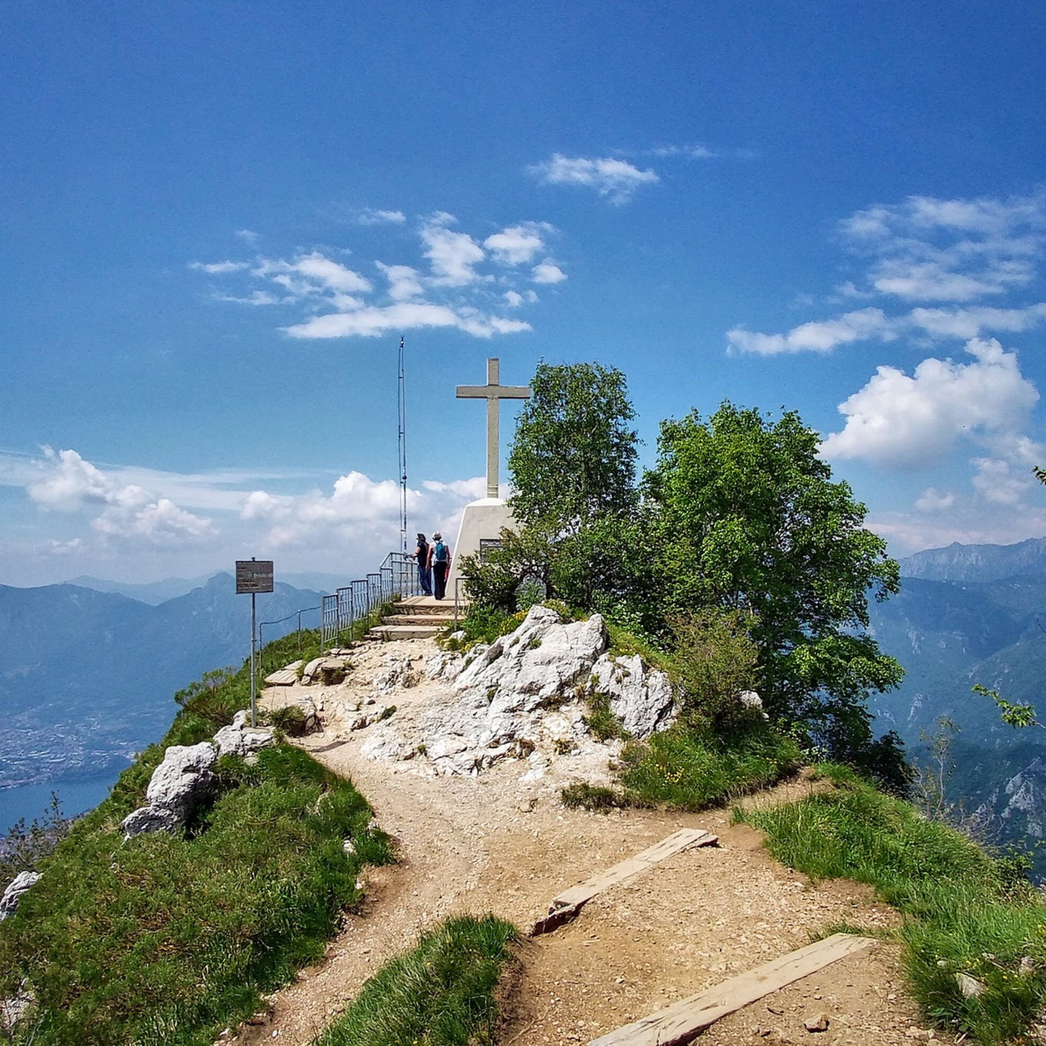
A stunning viewpoint during the ride
0
0

A cycle-pedestrian route of about 37 kilometers connecting Monza to Erba, crossing the Brianza region along the Lambro river. It is a path immersed in the greenery of the Lambro Valley Regional Park, characterized by a mixed surface (dirt, cobblestone, and asphalt) ideal for mountain bikes, gravel bikes, or robust city bikes. Main Features of the Route Start: Monza Park (entrance near Biassono/Lesmo). Finish: Center and train station of Erba (CO). Total length: Approximately 37 km (can be divided into shorter stages). Surface type: Mixed, with a prevalence of dirt and forest paths. Difficulty: Medium-easy, with the presence of some steep ups and downs.
0
0

The Morterone climb is an iconic and fascinating cycling ascent in the Lecco area, starting from Ballabio and leading to the village of the same name, known for being one of the smallest in Italy. Far from traffic, it unfolds on a narrow road immersed in nature, with manageable gradients but a road surface that is occasionally uneven. Technical Route Data Starting point: Ballabio (reachable from Lecco) Ending point: Morterone (after passing the Forcella di Olino) Length: Approximately 8.5 km (from Ballabio to the Forcella), or approximately 17-20 km starting from the center of Lecco Elevation gain: Approximately 550 m (from Ballabio) Average gradient: Approximately 5% (with maximum sections at 9-10%)
1
0

scenic, nice curves, not tiring, a classic of the area
0
0

A bridge to cross on a mountain bike! I tried on a racing bike, but better not!
0
0

Little traffic, always in the shade and therefore often muddy, but it is a small oasis of pleasant nature
2
0

Be careful when it's humid or raining: the bridge becomes slippery!
1
0

A beautiful climb with very little traffic. Very scenic and beautiful.
0
0
Frequently Asked Questions
What kind of terrain can I expect on gravel bike trails around Garlate?
Garlate offers a diverse mix of terrain for gravel biking. You'll find extensive cycle paths, some of which are paved, running along Lake Garlate and connecting to nearby towns. However, many routes also incorporate unpaved sections, dirt roads, and gravel paths, particularly in the surrounding hills. This blend provides both serene lakeside riding and more challenging, varied terrain.
How challenging are the gravel bike routes in Garlate?
While some sections are accessible, many of the longer gravel bike routes in Garlate are considered challenging, requiring good fitness. For instance, routes like the View of the Adda River loop and the Garlate Lake Cycle Path – Brivio Castle loop are rated as difficult, featuring significant elevation gains and distances.
Are there any circular gravel bike routes in the Garlate area?
Yes, many gravel bike routes in Garlate are designed as loops, allowing you to start and end in the same location. Examples include the challenging View of Lake Garlate – View of Lake Como loop and the Valcava Pass loop, which offer extensive rides through varied landscapes.
What natural features or viewpoints can I expect to see along the gravel bike trails?
The region is rich in natural beauty. You'll encounter tranquil lake views of Lake Garlate, Lake Olginate, and even Lake Como on some routes. The surrounding hills offer panoramic vistas. For specific natural highlights, you might find gorges like the Val Negra Gully or even the Linzanico Waterfall, depending on your chosen route.
Are there any historical or cultural points of interest along the gravel routes?
Yes, the area around Garlate offers several cultural points of interest. Along the cycle paths, you can discover attractions such as the Abegg Silk Museum and the charming Garlate old town with its characteristic courtyards. Some routes, like the Garlate Lake Cycle Path loop, pass by landmarks such as Brivio Castle.
What do other gravel bikers enjoy most about gravel biking in Garlate?
The gravel biking experience in Garlate is highly rated by the komoot community, with an average score of 4.4 stars from over 60 reviews. Riders frequently praise the serene lake views, the varied terrain that combines paved and unpaved sections, and the extensive network of cycle paths that connect picturesque towns and natural landscapes.
How many gravel bike trails are available in Garlate?
There are over 40 gravel bike trails available in the Garlate area, offering a wide range of options for different preferences and fitness levels. The majority of these routes are rated as difficult, providing a significant challenge for experienced riders.
What is the best time of year for gravel biking in Garlate?
The best time for gravel biking in Garlate is generally during the spring and autumn months when the weather is mild and the scenery is particularly vibrant. While the region is accessible year-round, some unpaved sections might be more challenging or muddy after heavy rain or during winter.
Are there family-friendly gravel bike trails in Garlate?
While many of the longer gravel routes in Garlate are challenging, the extensive cycle paths along Lake Garlate and connecting to nearby lakes like Lake Annone offer flatter, more accessible sections. These paved and well-maintained paths are suitable for families and beginners looking for a more relaxed ride with scenic views.
Is Garlate well-connected by public transport for accessing gravel bike trails?
Garlate and its surrounding towns are generally accessible by public transport, particularly by train to nearby larger towns like Lecco or Calolziocorte, which are often starting points for routes. From these hubs, local buses or short rides can connect you to various trailheads around Lake Garlate.
Where can I park my car when gravel biking in Garlate?
Parking is typically available in the towns surrounding Lake Garlate, such as Lecco, Olginate, Calolziocorte, and Garlate itself. Look for designated public parking areas near the lakeside promenades or town centers, which often serve as convenient starting points for many of the gravel bike routes.
Are there any high-altitude routes or climbs for advanced gravel bikers?
Yes, for advanced gravel bikers seeking significant climbs, routes like the View of Lake Garlate – Artavaggio Plateau loop offer substantial elevation gains, reaching up to nearly 3000 meters. These routes provide challenging ascents and rewarding panoramic views from higher elevations.
Most popular routes around Garlate
Most popular attractions around Garlate

Get inspired with the komoot mobile app


Explore more
Browse the best Gravel rides in other regions.
