The best gravel rides around Sauris
4.9
(6)
89
riders
3
rides
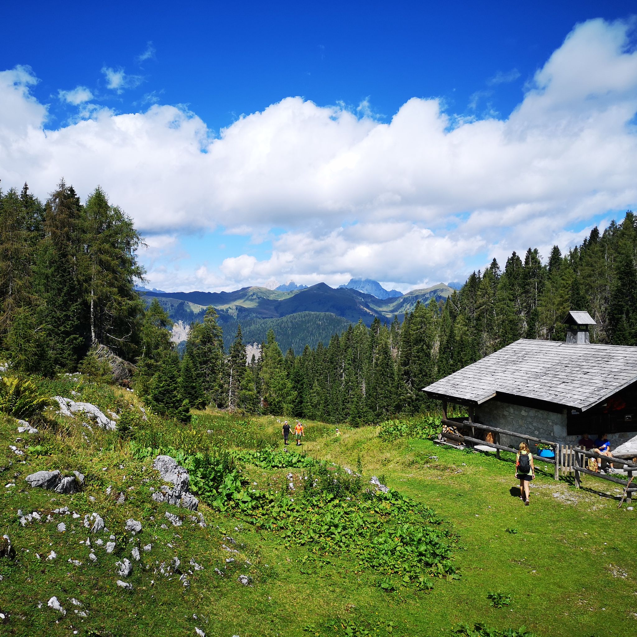
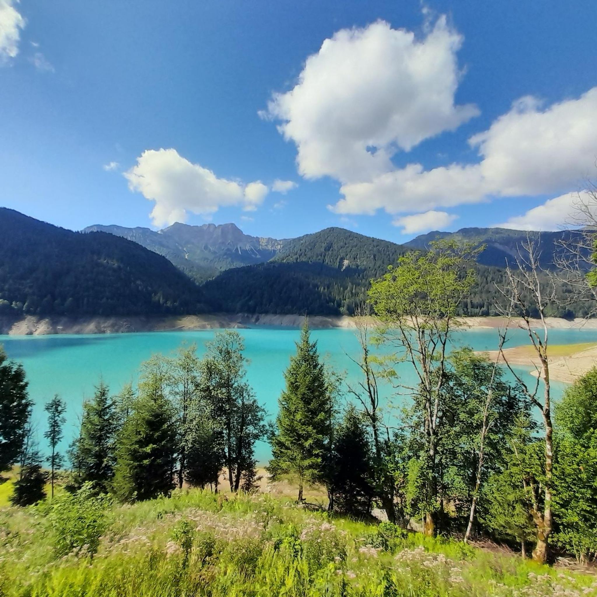
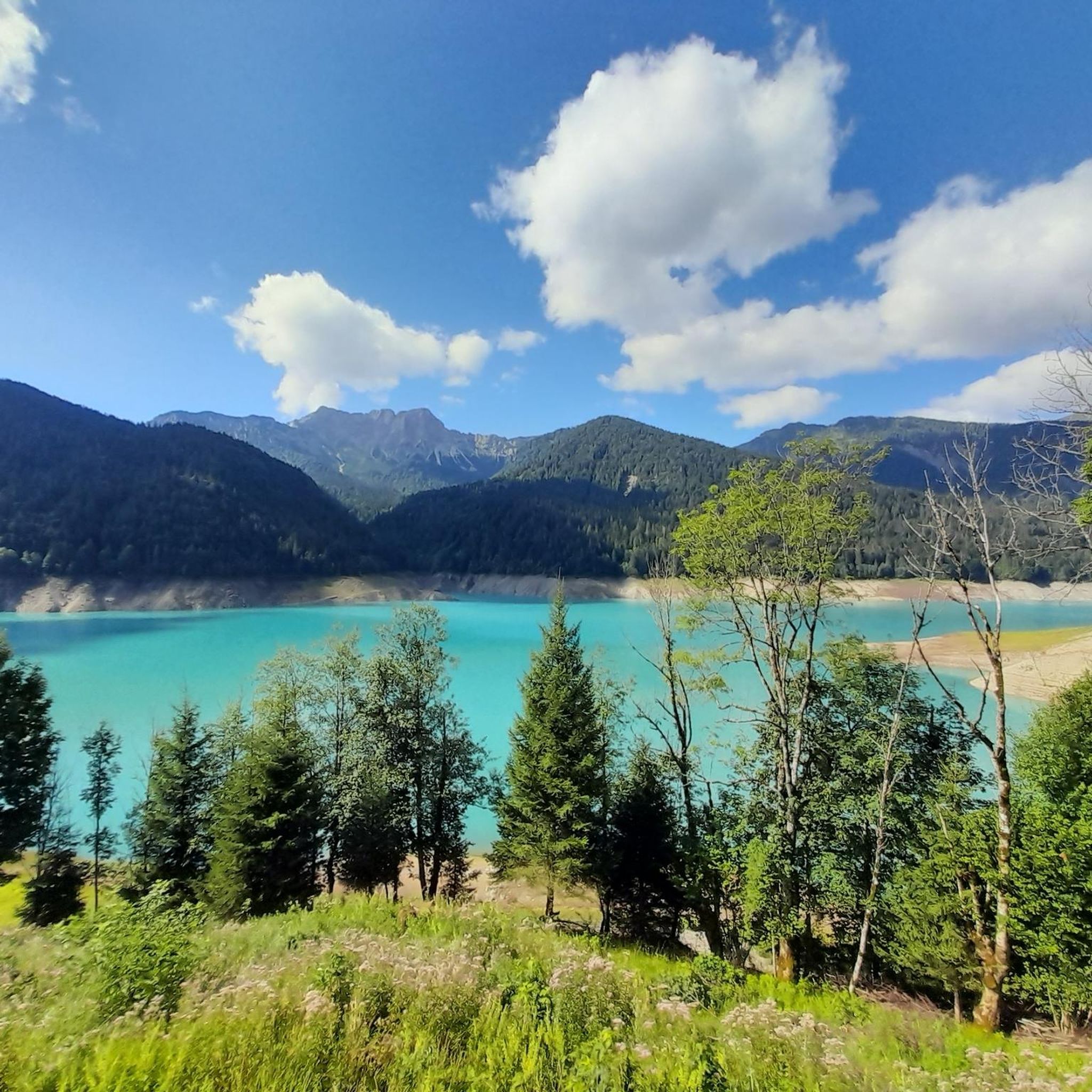
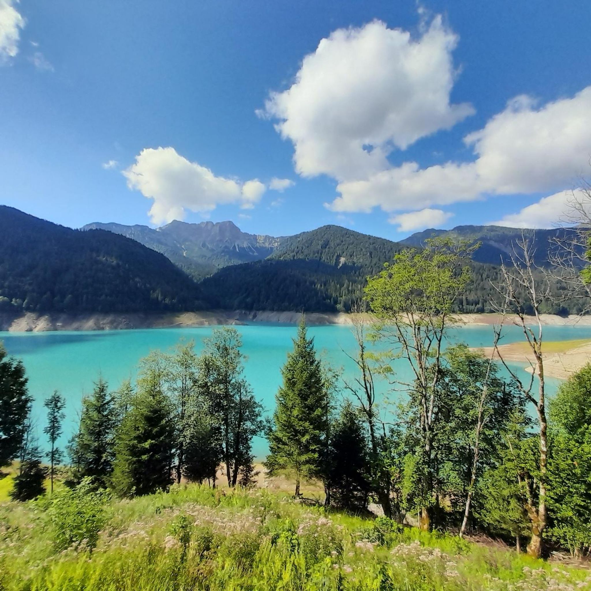
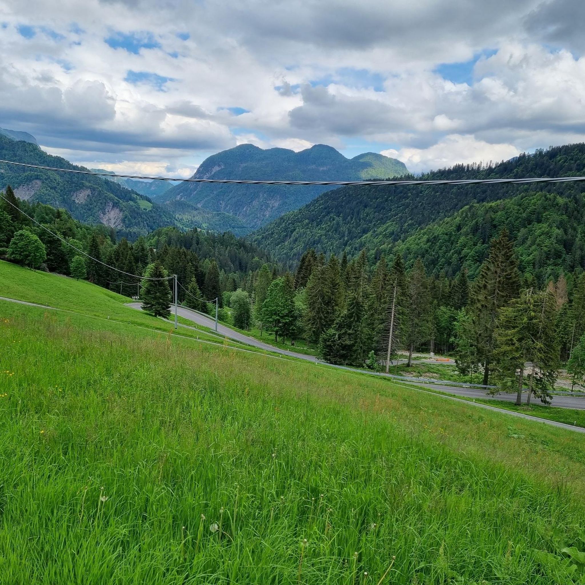
Gravel biking around Sauris offers diverse terrain within the Carnic Alps, characterized by significant elevation changes and majestic mountain peaks. The region features a mosaic of forests, high-altitude pastures, and deep valleys, providing varied unpaved surfaces for exploration. Lake Sauris, an artificial lake reflecting the surrounding mountains, is a central natural feature. An extensive network of dirt roads and former mule tracks connects villages and alpine huts, making it suitable for gravel biking.
Best gravel bike trails around Sauris
- The…
Last updated: July 4, 2026
5.0
(1)
16
riders
50.9km
04:10
1,550m
1,550m
Hard gravel ride. Very good fitness required. You may need to push your bike for some segments of this route.
5.0
(1)
9
riders
18.7km
01:44
640m
650m
Hard gravel ride. Very good fitness required. Mostly paved surfaces. Suitable for all skill levels.

Sign up for free
8
riders
52.6km
04:07
1,600m
1,600m
Hard gravel ride. Very good fitness required. Mostly paved surfaces. Suitable for all skill levels.
23
riders
41.0km
03:43
1,670m
1,670m
Hard gravel ride. Very good fitness required. Mostly paved surfaces. Suitable for all skill levels.
8
riders
80.5km
05:57
2,000m
2,000m
Hard gravel ride. Very good fitness required. Mostly paved surfaces. Suitable for all skill levels.
Our route recommendations are based on thousands of hikes, rides, and runs completed by other people on komoot.
Start today with a free account
Your next adventure awaits.
Login or Signup

Tips from the Community

FVG 8 - here you ride above the Torrente Bût
3
0

Even more complete if you climb up to Forcella Dignas, +300m above sea level, rather steep but panoramic and rewarding
0
0

In addition to its role as a cycling arena, Monte Zoncolan is a multi-purpose tourist destination. In winter, you can enjoy downhill runs of varying difficulty (ranging from blue to black). The Zoncolan Ski Area offers a variety of challenging trails (both fast technical sections and steep walls), making it ideal for slalom and giant slalom training. The location in Friuli-Venezia Giulia offers good snow conditions, but also a relatively quiet base – fewer tourists than in the Dolomites. Modern infrastructure (the Ravascletto–Zoncolan gondola and artificial snowmaking system) allows for regular training even in inclement weather. If you visit Ravascletto in winter, it's not unusual to see sections of the trails marked "chiuso per allenamento" (closed for training) – a sign that national teams or clubs are training there. In summer, you can enjoy a network of trails of varying difficulty—from family walks to challenging mountain treks. The areas are well-marked and have infrastructure (huts, rifuges, viewpoints).
0
0

One of the toughest climbs I've ever done, use low gears.
14
0

A very romantic source of a large river. Benches around the spring invite you to take a break.
1
0

Railway line cycle path with beautiful views.
2
0
View of the river valley from the cycle path to Ovaro, although some environmental damage can also be seen here.
2
0
They are also intended to emphasize that Zoncolàn is not just a place for one Giro hero, but for the entire peloton, all the cyclists and cyclists who have arrived here.
1
0
Frequently Asked Questions
What is the general difficulty level of gravel biking in Sauris?
Gravel biking in Sauris is generally challenging, characterized by significant elevation changes and mountainous terrain. Most routes, like the Malga Campobon – Chiastelin Hut loop from Sappada, are rated as difficult, requiring good physical condition. Even routes around Lake Sauris involve substantial climbing.
What kind of terrain can I expect on gravel bike trails in Sauris?
You can expect a diverse mix of terrain, including unpaved dirt roads, former mule tracks, and some paved sections. The region features lush forests, high-altitude pastures, and rocky massifs. For instance, the road through Val Frison is known for its unpaved, coarse gravel surfaces, offering a true gravel biking experience.
Are there scenic viewpoints or natural attractions along the gravel routes?
Yes, Sauris offers numerous scenic viewpoints and natural attractions. You'll encounter breathtaking views of the Carnic Alps and Lake Sauris. Notable highlights include the Ascent to Lago di Sauris, the unique tunnel at the Sauris Dam, and the View of Lago di Sauris and Val Tagliamento from Punta dell'Uccel. The traditional villages of Sauris di Sotto, Sauris di Sopra, and Lateis also provide picturesque settings.
Where can I park my car when gravel biking in Sauris?
Parking is generally available in the main villages such as Sauris di Sotto, Sauris di Sopra, and Lateis. For routes starting from specific points, like the Monte Zoncolan Pass Road loop from Ovaro, you can usually find parking in the starting towns like Ovaro or Comeglians.
Can I reach Sauris gravel trails using public transport with my bike?
While Sauris is somewhat remote, public transport options exist within Friuli Venezia Giulia. However, carrying bikes on buses can be limited. It's advisable to check local bus schedules and regulations regarding bike transport in advance, especially during peak season, as dedicated bike-friendly services might be seasonal or require prior booking.
When is the best time of year to go gravel biking in Sauris?
The best time for gravel biking in Sauris is typically from late spring to early autumn (May to October). During these months, the weather is generally favorable, and the high-altitude trails are free of snow. Summer offers lush landscapes, while autumn provides stunning fall foliage. Always check local weather forecasts before heading out, as mountain weather can change rapidly.
Are there any family-friendly or beginner-friendly gravel routes in Sauris?
While many routes in Sauris are challenging, there are options suitable for less experienced riders or families. The Lake Sauris – Lake Sauris loop from Sauris di Sotto is a shorter, 11.6-mile route that offers scenic views around the lake, making it a good choice for those seeking a less strenuous ride. It still involves some elevation gain, so a basic level of fitness is recommended.
Are dogs allowed on the gravel bike trails in Sauris?
Generally, dogs are welcome on trails in the Sauris region, provided they are kept under control, especially in areas with livestock or wildlife. Always ensure your dog is well-behaved and that you carry waste bags. Some specific protected areas or private lands might have restrictions, so it's always good to check local signage.
Are there places to eat or drink along the gravel routes in Sauris?
Yes, the Sauris region is known for its traditional mountain huts (malghe) and charming villages. You'll find opportunities to stop for refreshments or a meal in places like Sauris di Sotto, Sauris di Sopra, and Lateis. Some routes, such as the "circular path of malghe," are specifically designed to pass by these traditional establishments, offering local delicacies.
What do other gravel bikers enjoy the most about gravel biking in Sauris?
The area is highly rated by the komoot community, with an average score of 4.9 stars. Reviewers often praise the challenging Alpine terrain, the breathtaking panoramic views of the Carnic Alps, and the extensive network of dirt roads and tracks that provide a true gravel biking adventure. The serene beauty of Lake Sauris and the charming traditional villages are also frequently highlighted.
Are there any circular gravel bike routes in Sauris?
Yes, many of the gravel routes in Sauris are designed as loops, allowing you to start and end in the same location. Examples include the Lake Sauris – Lake Sauris loop from Sauris di Sotto and the Malga Campobon – Chiastelin Hut loop from Sappada. These circular routes offer varied scenery without the need for shuttle services.
How long are the gravel bike trails in Sauris?
The gravel bike trails in Sauris vary significantly in length. You can find shorter loops, like the Lake Sauris – Lake Sauris loop at about 11.6 miles (18.7 km), which takes around 1 hour 43 minutes. Longer and more demanding routes, such as the Monte Zoncolan Pass Road loop from Ovaro, can be over 34 miles (54.7 km) and take more than 4 hours to complete.
Most popular attractions around Sauris

Get inspired with the komoot mobile app


Explore more
Browse the best Gravel rides in other regions.
