The best gravel rides around Contigliano
5.0
(3)
28
riders
7
rides
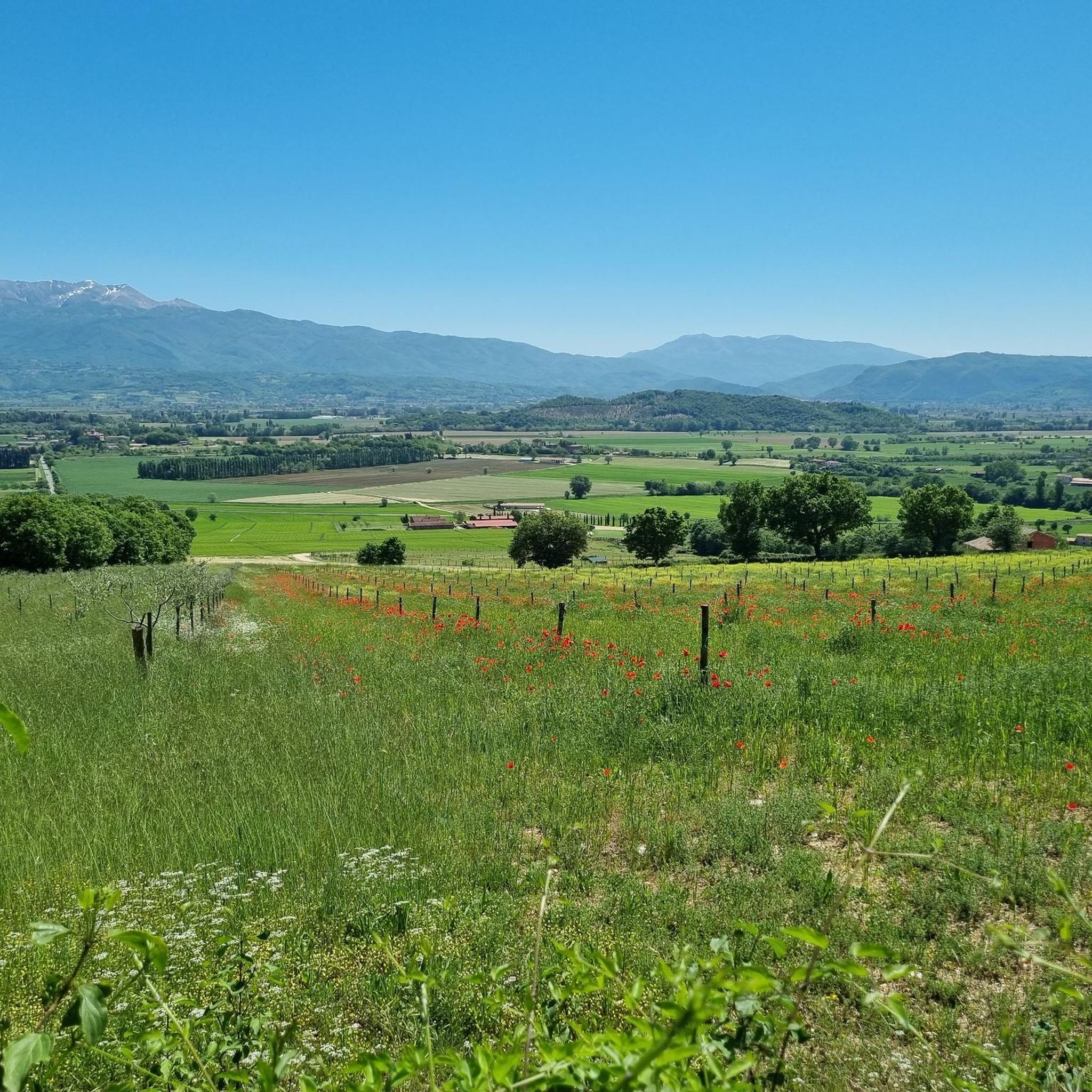
Gravel biking around Contigliano offers routes through a landscape characterized by rolling hills, river valleys, and several lakes, including the Natural Reserve of Lakes Lungo and Ripasottile. The region features a mix of paved and unpaved surfaces, suitable for gravel cycling, with terrain that includes both gradual ascents and more challenging climbs in the hillier sections of the Monti Sabini. The area is rich in natural features, with chestnut and oak trees, and historic villages.
Best gravel bike trails around…
Last updated: July 4, 2026
5.0
(1)
7
riders
43.0km
03:03
840m
840m
Hard gravel ride. Very good fitness required. Mostly paved surfaces. Suitable for all skill levels.
4
riders
Hard gravel ride. Very good fitness required. Mostly paved surfaces. Suitable for all skill levels.

Sign up for free
4
riders
89.3km
05:41
1,130m
1,130m
Hard gravel ride. Very good fitness required. Mostly paved surfaces. Suitable for all skill levels.
6
riders
43.1km
02:31
150m
150m
Moderate gravel ride. Good fitness required. Mostly paved surfaces. Suitable for all skill levels.
5.0
(2)
4
riders
12.0km
00:39
110m
110m
Easy gravel ride. Great for any fitness level. Mostly paved surfaces. Suitable for all skill levels.
Get access to more routes and recommendations from other explorers.
Sign up for free
Already have an account?
Our route recommendations are based on thousands of hikes, rides, and runs completed by other people on komoot.
Start today with a free account
Your next adventure awaits.
Login or Signup
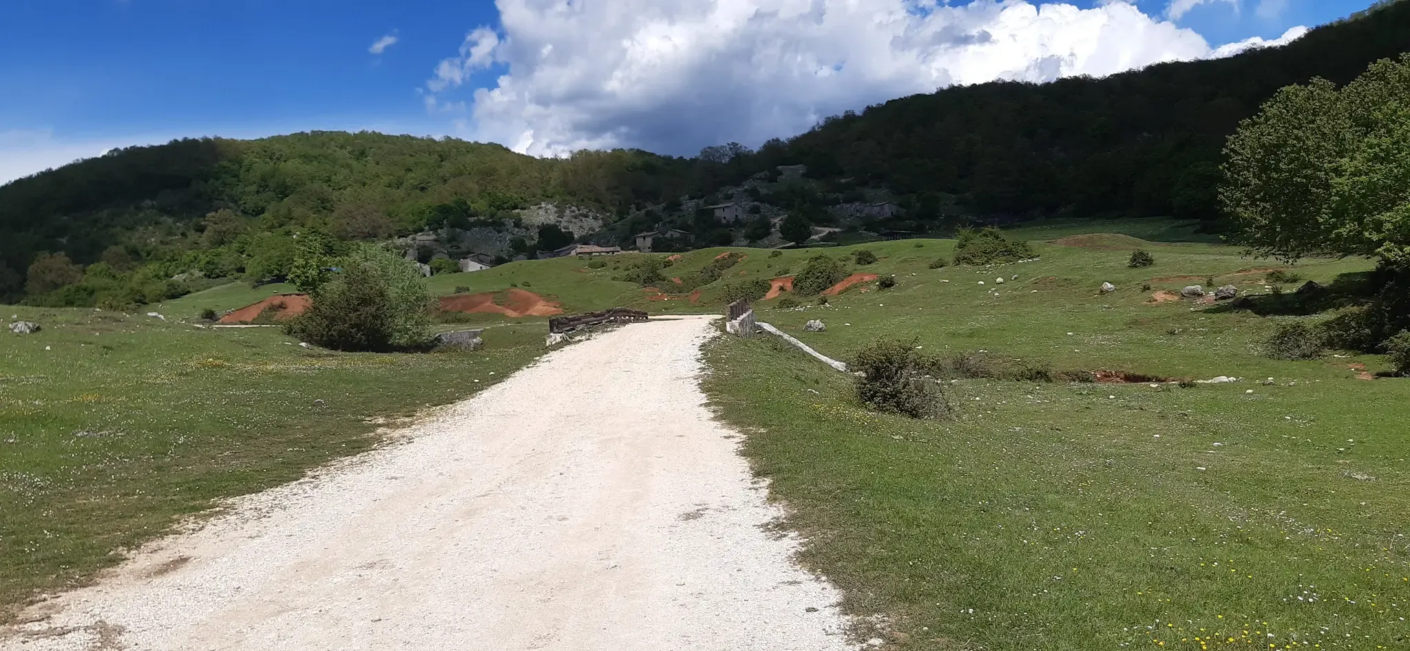
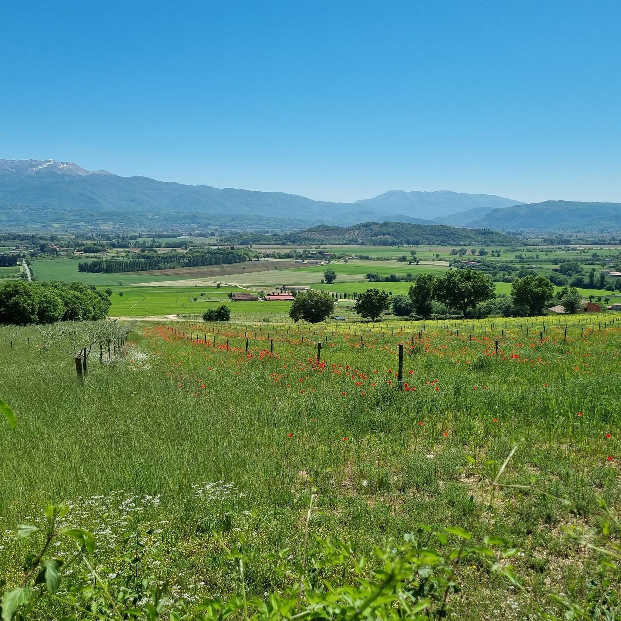
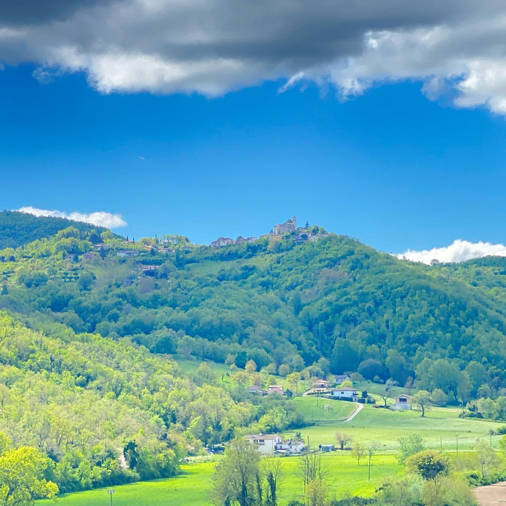
Other adventures around Contigliano

Tips from the Community

The walls surround the entire center, of Roman origin, of which few traces remain; the medieval walls built in the 13th century are still widely visible with their towers and portals, which are considered "among the most imposing and best preserved in Lazio. Very suggestive
2
0

Perfect Gravel Roads
0
0

There is no rational choice possible, in including or excluding a visit to the villages that populate the Nera valley, so I recommend you go and see them all, with the same calm of the waters of its river.
0
0

Nestled in the green woods of the province of Rieti, Lake Ventina is very small (its surface area is about 0.1 square kilometers) but very charming. It is located in the alluvial plain of the Conca Reatina and its maximum depth is 3.5 meters. It is possible to swim in it, but the lake is especially known for fishing.
0
0

Going down via Roma you reach the Velino bridge, known however by the same name as the one demolished in the thirties and placed, a little below, on the river bed: Roman bridge.
1
0

Surprise; suddenly passing over a bridge the attention comes from the right side the crystalline green of a river at first and then we discover that it is a canal where the trout swim calmly in freedom showing themselves in their beauty thanks to the clarity of the waters also populated by two splendid specimens of white swans
0
0
From here a cycleable climb up to Forca di Arrone to swoop down to Lake Piediluco.
0
0
Nice even in summer!
0
0
Frequently Asked Questions
What kind of terrain can I expect on gravel bike trails around Contigliano?
The Contigliano region offers a diverse landscape for gravel biking, characterized by rolling hills, river valleys, and several lakes. You'll encounter a mix of paved and unpaved surfaces, with terrain ranging from gradual ascents to more challenging climbs, especially in the hillier sections. Trails often pass through natural reserves and historic villages, providing varied scenery.
Are there any easy gravel bike routes suitable for beginners or families in Contigliano?
While many routes in Contigliano are rated as difficult, there are options for different ability levels. The guide indicates at least one easy and one moderate route. For a family-friendly experience, look for routes with less elevation gain and shorter distances. Always check the route details on komoot for specific difficulty ratings and terrain information before you go.
What are the typical distances and durations for gravel bike rides in this area?
Gravel bike routes around Contigliano vary significantly in length and duration. You can find rides like the River – Terme di Cotilia loop from Rieti, which is about 43.5 km (27.0 miles) and takes around 3 hours 21 minutes. Longer, more challenging routes, such as the Lake Salto – Salto Dam loop from Rieti, can extend to 117.2 km (72.8 miles) and require over 9 hours to complete.
Are there any notable viewpoints or attractions along the gravel bike trails near Contigliano?
Yes, the region offers several points of interest. You might encounter historic villages like Cantalice, or enjoy scenic views such as the View of Terni and Valnerina from Passo della Somma. Other highlights include mountain passes like Forca di Arrone and the Rieti–Terminillo Climb, offering panoramic vistas.
What do other gravel bikers say about the routes in Contigliano?
The gravel biking routes in Contigliano are highly regarded by the komoot community, holding an average rating of 4.25 stars from 6 reviews. Users often praise the diverse landscape, which includes lakes, hills, and river paths, and appreciate the variety of routes available for different skill levels.
Are there many loop trails available for gravel biking in Contigliano?
Yes, many of the popular gravel bike routes in the Contigliano area are designed as loops, allowing you to start and end at the same point. Examples include the Lake Ventina – Colli Sul Velino Hills loop from Riserva naturale dei Laghi Lungo e Ripasottile and the Colli Sul Velino Hills – Lake Piediluco loop from San Giovanni Reatino, providing convenient circular journeys.
What is the best season for gravel biking around Contigliano?
The best seasons for gravel biking around Contigliano are typically spring and autumn. During these times, the weather is generally mild, and the natural scenery is at its most vibrant. Summer can be enjoyable, but be prepared for warmer temperatures, especially in July and August. Winter riding is possible, but some higher elevation trails might be affected by colder conditions or occasional snow.
Are there any routes that pass by historic villages or cultural sites?
Yes, several routes offer a glimpse into the region's history and culture. For instance, the Cantalice Historic Village – View of Monte Terminillo loop from Rieti takes you past the charming historic village of Cantalice. Many trails also traverse areas with traditional Italian architecture and rural landscapes.
Can I find routes that include lakes or river valleys?
Absolutely. The Contigliano area is rich in water features. Routes like the Lake Ventina – Colli Sul Velino Hills loop from Riserva naturale dei Laghi Lungo e Ripasottile explore lake shores, while the River – Terme di Cotilia loop from Rieti leads through picturesque river valleys. These routes offer refreshing scenery and often flatter sections.
Are there any places to stop for refreshments or cafes along the trails?
While specific cafes directly on every trail are not guaranteed, many routes pass through or near small towns and villages where you can find local eateries, bars, or shops to refuel. Planning your route with komoot allows you to identify potential stops or highlights like the Valle Ferrara Hut or the Tancia Hostel House, which might offer refreshments or shelter.
How many gravel bike trails are available in the Contigliano area?
There are over 10 gravel bike trails documented in the Contigliano area, offering a variety of experiences for different skill levels. The majority of these routes are rated as difficult, providing a good challenge for experienced gravel bikers.
Most popular attractions around Contigliano

Get inspired with the komoot mobile app


Explore more
Browse the best Gravel rides in other regions.
