The best gravel rides around Sant'Eusanio Del Sangro
4.0
(1)
16
riders
1
ride
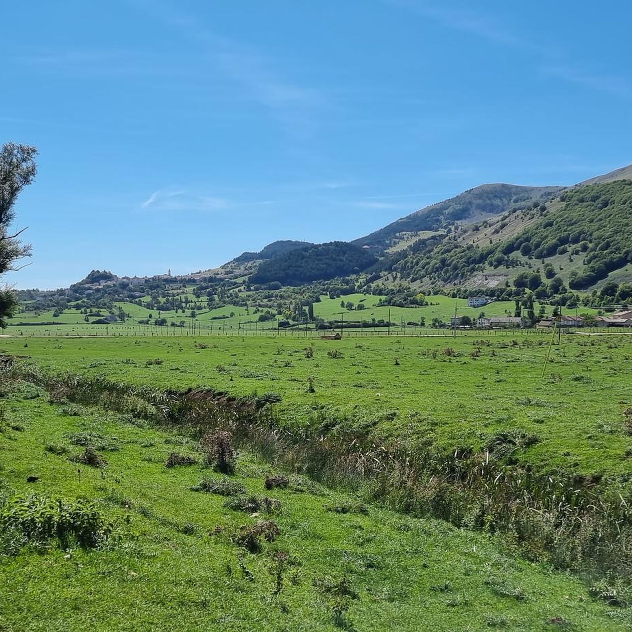
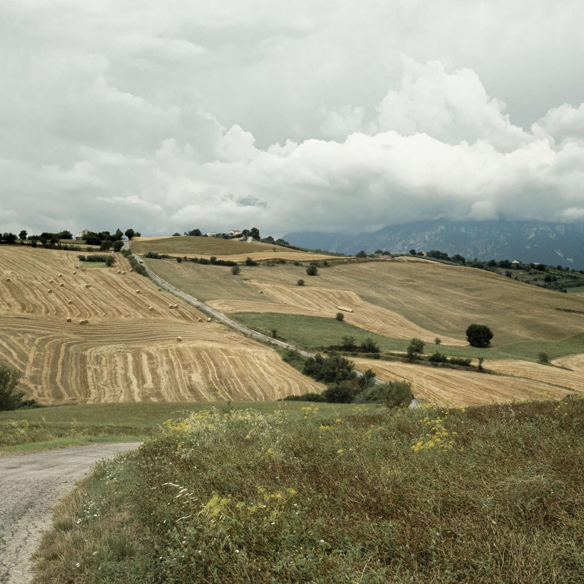
Gravel biking around Sant'Eusanio Del Sangro offers diverse terrain within Italy's Abruzzo region. The area features lush hills, a rolling countryside, and views of distant snowy-capped mountains. The Sangro River flows to the south, contributing to the natural landscape, which also includes olive groves. The varied topography, with an elevation of 205 meters in Sant'Eusanio Del Sangro, provides a mix of paved roads, gravel roads, and dirt tracks suitable for cycling.
Best gravel bike trails around Sant'Eusanio Del Sangro
- The…
Last updated: July 6, 2026
4.0
(1)
8
riders
45.1km
02:51
460m
460m
Hard gravel ride. Very good fitness required. Mostly paved surfaces. Suitable for all skill levels.
5
riders
78.6km
05:13
1,100m
1,100m
Hard gravel ride. Very good fitness required. Mostly paved surfaces. Suitable for all skill levels.

Sign up for free
3
riders
41.6km
03:22
1,280m
1,280m
Hard gravel ride. Very good fitness required. Mostly paved surfaces. Suitable for all skill levels.
Our route recommendations are based on thousands of hikes, rides, and runs completed by other people on komoot.
Start today with a free account
Your next adventure awaits.
Login or Signup

Tips from the Community

Taken at the beginning of June, a wonderful place and the best time to tackle it. I already miss it 🙁
1
0

The Ciclovia Adriatica in Abruzzo (better known as Bike to Coast) is a 131-kilometer cycle path that covers the entire coastline of the Abruzzo region. The route runs from Martinsicuro (coastal border with Marche) to San Salvo (border with Molise). The route is mostly flat, mostly car-free, and crosses 19 coastal municipalities.
3
0
Interesting facts about the location: Family heirloom: this specific trabocco was built in 1887 by the Verì family. To this day, the structure is still in the hands of their great-grandchildren. Floating restaurant: Nowadays, the platform serves as a unique fish restaurant. You literally dine on a wooden platform above the waves. In the middle of the restaurant, there is even a section of transparent glass floor that allows you to see the Adriatic Sea splashing beneath your feet while you eat. Marathon lunch: If you want to eat here, you need to significantly adjust your Komoot planning. They work with an extensive fixed fish menu (approx. €60 - €70 p.p.) of no less than 11 courses. Lunch starts punctually at 1:00 PM for all guests simultaneously and lasts at least 3 hours. Plan your time and enjoy !
3
0
Even a short stop? Absolutely worth it. At Trabocco Punta Torre, a special fishing structure from 1850, time almost seems to stand still. The enormous wooden arms, cables, and nets are still used today for traditional net fishing, exactly as it happened generations ago. What makes this place extra special is the warm welcome from manager Claudio. Passers-by and cyclists are regularly spontaneously invited to take a look. With visible enthusiasm, he explains how the ingenious system works and how the nets are lowered into the Adriatic Sea via a mechanical lifting mechanism. A short stop that not only lets you experience a piece of history but also provides an encounter that you will remember for a long time.
3
0

Beautiful stretch along the Trabocchi cycle path
0
0

Well-lit and cool gallery
0
0

The Adriatic Cycle Route runs along the coast, passing the edge of the Santo Stefano pine forest. Not far away is the mouth of the Sinello River, which flows into the Adriatic.
2
0

beautiful view of the mouth of the Sangro River.
0
0
Frequently Asked Questions
What kind of terrain can I expect on gravel bike trails around Sant'Eusanio Del Sangro?
The terrain around Sant'Eusanio Del Sangro is diverse, offering a mix of paved roads, gravel roads, dirt tracks, and country roads. You'll encounter lush hills, rolling countryside, and olive groves, with views of distant snowy-capped mountains. The region's varied topography, including an elevation of 205 meters in Sant'Eusanio Del Sangro itself, provides a dynamic cycling experience.
How many gravel bike trails are available in the Sant'Eusanio Del Sangro area?
There are 6 gravel bike trails documented around Sant'Eusanio Del Sangro. These routes offer a range of experiences, from moderate to difficult, catering to different skill levels.
Are there any family-friendly gravel biking options near Sant'Eusanio Del Sangro?
While the listed routes are generally moderate to difficult, the region's mix of country roads and less technically challenging gravel paths, like those mentioned in the wider Abruzzo region, suggests that suitable sections for families might be found. Look for routes with lower elevation gain and shorter distances if cycling with children. The Adriatic Cycle Route – Trabocco Punta Cavalluccio loop from Mozzagrogna, for example, is rated moderate and covers 36.5 km, which might be manageable for active families.
What are some notable landmarks or points of interest I can see along the gravel bike routes?
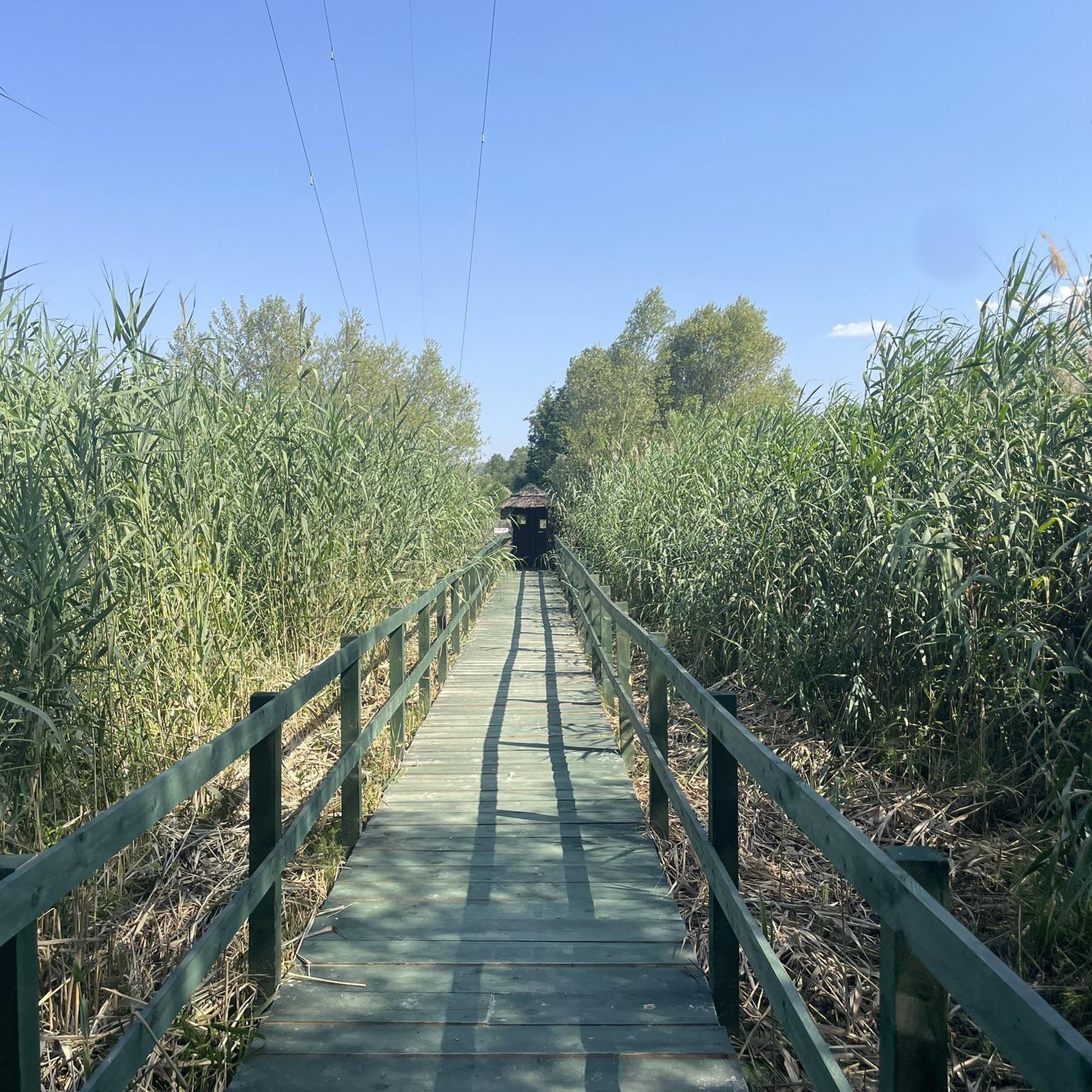
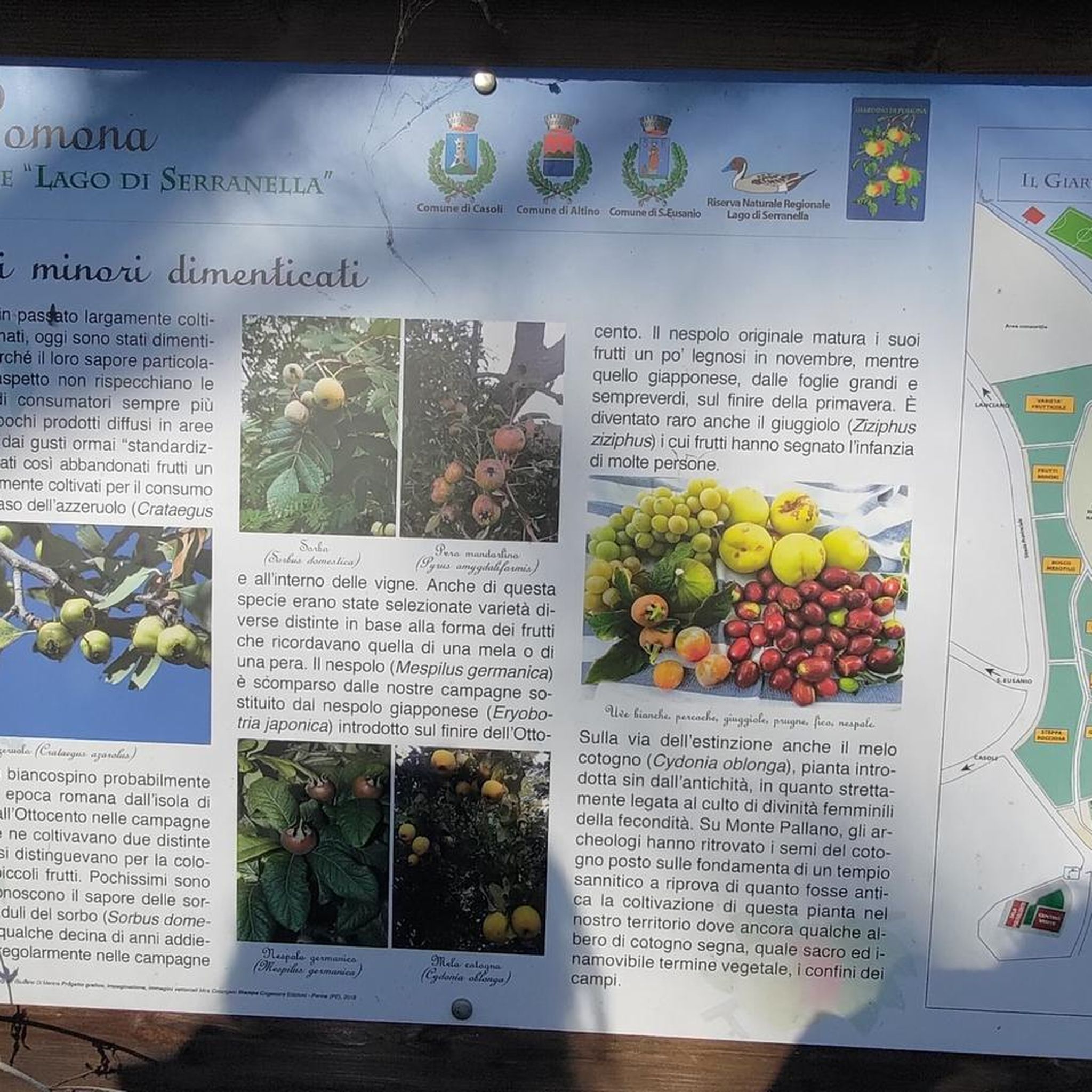
While cycling, you can explore historical architecture and natural beauty. Nearby attractions include the charming town of Guardiagrele, the historic Convent of San Pasquale in Atessa, and the impressive Castello di Roccascalegna. The Sangro River and the Regional Nature Reserve of Serranella Lake also offer scenic natural points of interest.
Are there any circular gravel bike routes available?
Yes, several routes in the area are designed as loops. For instance, you can try the difficult Adriatic Cycle Route – Adriatic Cycle Route loop from Atessa, which covers 78.6 km, or the moderate Adriatic Cycle Route – Fossacesia Old Railway Station loop from Lanciano, spanning 44 km.
What is the best time of year for gravel biking in Sant'Eusanio Del Sangro?
The Abruzzo region generally offers good conditions for gravel cycling outside of the peak summer heat and winter cold. Spring and autumn are often ideal, with pleasant temperatures and vibrant landscapes. Always check local weather conditions before heading out, as the varied elevation can lead to different microclimates.
What is the difficulty level of gravel bike trails in this area?
The gravel bike trails around Sant'Eusanio Del Sangro range from moderate to difficult. There are 5 moderate routes and 1 difficult route, offering options for experienced riders looking for a challenge, as well as those seeking a less strenuous but still engaging ride.
What do other gravel bikers enjoy most about gravel biking in Sant'Eusanio Del Sangro?
The area is highly rated by the komoot community, with an average score of 4.0 stars. Riders often praise the diverse terrain, which blends challenging ascents with tranquil paths, and the opportunity to pass through varied natural landscapes and charming historical towns.
Are there any long-distance gravel bike routes near Sant'Eusanio Del Sangro?
Yes, for those seeking longer rides, the Views of Tornareccio – View of Lake Bomba loop from Atessa is a challenging 65.4 km route with significant elevation gain. Another option is the Adriatic Cycle Route – Adriatic Cycle Route loop from Atessa, which extends to 78.6 km and explores the wider region.
Where can I find parking for gravel bike trails in Sant'Eusanio Del Sangro?
While specific parking areas for each trail are not detailed, Sant'Eusanio Del Sangro and nearby towns like Lanciano, Atessa, and Mozzagrogna, which serve as starting points for many routes, typically offer public parking facilities. It's advisable to check local parking options in these towns when planning your ride.
Can I expect significant elevation changes on the gravel bike routes?
Yes, the region's hilly topography means you can expect notable elevation changes. For example, the difficult Views of Tornareccio – View of Lake Bomba loop from Atessa features over 1600 meters of ascent, providing a challenging workout and rewarding views.
Most popular routes around Sant'Eusanio Del Sangro
Most popular attractions around Sant'Eusanio Del Sangro

Get inspired with the komoot mobile app


Explore more
Browse the best Gravel rides in other regions.
