The best gravel rides in Fondos Marinos Estuario Del Río Guadiaro
4.0
(1)
17
riders
5
rides
Gravel bike trails in Fondos Marinos Estuario Del Río Guadiaro traverse a unique natural wetland, characterized by the Guadiaro River Estuary, its river mouth, and a central island formed by sediments. The region offers diverse riding experiences with paths along the river, through wetland areas, and with coastal proximity. Riders can expect varied terrain, including compacted dirt paths and scenic routes that showcase the area's ecological significance as a stopover for migratory birds. This landscape provides a blend of riverside,…
Last updated: July 15, 2026
4.0
(1)
4
riders
19.8km
01:27
360m
360m
Moderate gravel ride. Good fitness required. Mostly paved surfaces. Suitable for all skill levels.
7
riders
62.8km
04:17
930m
930m
Hard gravel ride. Very good fitness required. Mostly paved surfaces. Suitable for all skill levels.

Sign up for free
3
riders
57.5km
04:23
820m
820m
Hard gravel ride. Very good fitness required. Mostly paved surfaces. Suitable for all skill levels.
1
riders
44.5km
03:05
650m
650m
Hard gravel ride. Very good fitness required. Mostly paved surfaces. Suitable for all skill levels.
2
riders
29.9km
02:15
520m
520m
Hard gravel ride. Very good fitness required. Mostly paved surfaces. Suitable for all skill levels.
Our route recommendations are based on thousands of hikes, rides, and runs completed by other people on komoot.
Start today with a free account
Your next adventure awaits.
Login or Signup
Popular around Fondos Marinos Estuario Del Río Guadiaro
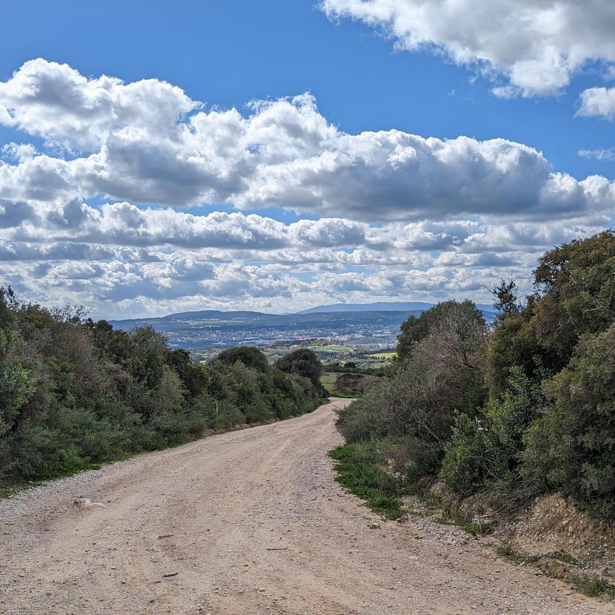
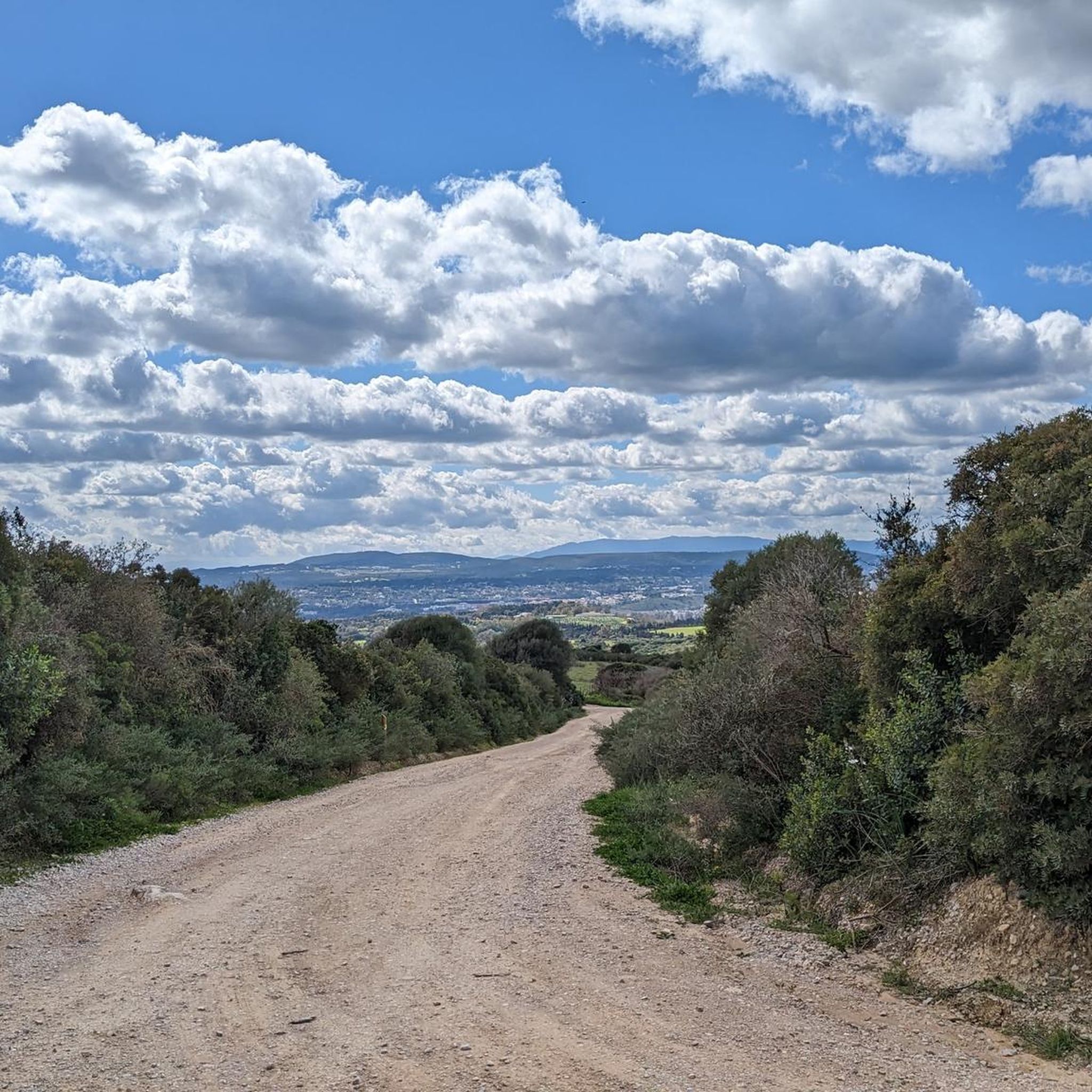
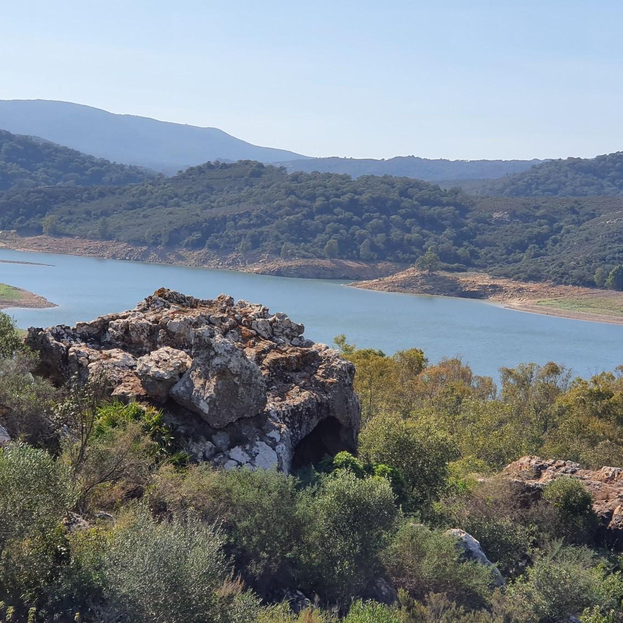
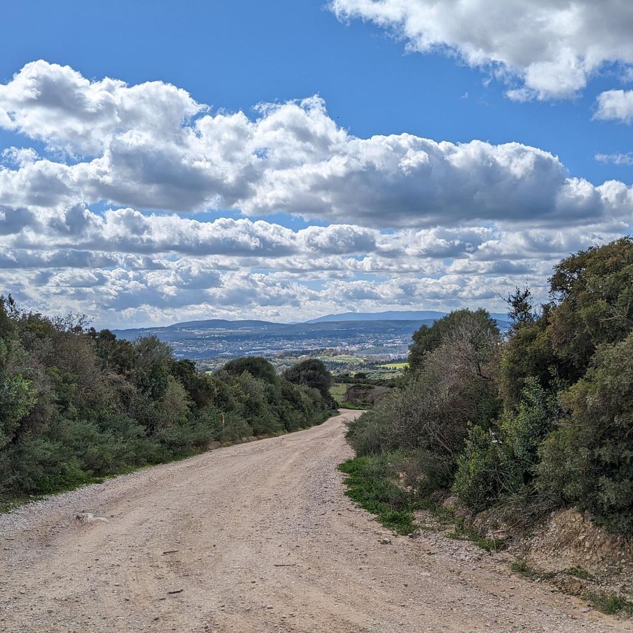
Tips from the Community

The port of Duquesa. Nice to eat or drink something in the evening
0
0

The Castillo de la Duquesa, also known as the Fuerte de Sabinillas, is a fortification located in the town of Manilva, in the province of Málaga. It was built in 1767 during the reign of Charles III as part of an effort to fortify the coast of the Kingdom of Granada.
3
0
The Castillo de la Duquesa, also known as the Fuerte de Sabinillas, is a fortification located in the town of Manilva, in the province of Málaga. It was built in 1767 during the reign of Charles III as part of an effort to fortify the coast of the Kingdom of Granada.
5
0

Nice climb to Casares and a nice water fountain when you get there. Worth the effort.
1
0


Good mtb single and double track area. Lots of options if yiu spend time investigating
1
0

Eingang zum Duchess Castle
2
0
Frequently Asked Questions
What kind of terrain can I expect on gravel bike trails in Fondos Marinos Estuario Del Río Guadiaro?
The gravel bike trails in Fondos Marinos Estuario Del Río Guadiaro offer a diverse riding experience. You'll find paths along the Guadiaro River, through unique wetland areas, and with coastal proximity. Expect a mix of compacted dirt paths and scenic routes that showcase the region's ecological significance, blending riverside, estuarine, and coastal environments.
Are there gravel bike routes suitable for beginners or families in the area?
While the guide lists routes ranging from moderate to difficult, the region's natural park does offer designated routes and boardwalks for exploration, which might include easier sections. For a moderate option, consider the Castle of the Duchess loop from Aldea Beach, which is 12.3 miles (19.8 km) long and offers coastal views.
What are the typical distances and durations for gravel bike rides here?
Gravel bike routes in Fondos Marinos Estuario Del Río Guadiaro vary significantly. For example, the moderate Castle of the Duchess loop from Aldea Beach is about 12.3 miles (19.8 km) and takes around 1 hour 51 minutes. More challenging routes, like the Castle of the Duchess – Port of La Duquesa loop from La Chullera, can be up to 35.8 miles (57.6 km) and take over 5 hours to complete.
What natural features or wildlife can I see while gravel biking in Fondos Marinos Estuario Del Río Guadiaro?
The region is a significant ecological site, especially for birdwatching. The Guadiaro River Estuary is a crucial stopover for migratory birds, and you might spot common egrets, royal and imperial herons, ospreys, spoonbills, and flamingos. Beyond birds, the estuary's waters are home to otters and eels, while badgers, Egyptian mongooses, and hedgehogs can be found in surrounding areas. The vegetation includes reeds, saltmarsh bulrushes, ash trees, tamarisk, wild olive trees, and lentisc.
Are there any challenging gravel bike trails for experienced riders?
Yes, there are several challenging routes for experienced gravel bikers. The View of Casares – Casares loop from La Chullera is a difficult 34.8 miles (56.0 km) path with significant elevation gain and expansive inland views. Another difficult option is the Iron bridge – Castellar Nuevo de la Frontera loop from Secadero, which covers 52.9 km.
What is the best time of year to go gravel biking in Fondos Marinos Estuario Del Río Guadiaro?
While specific seasonal recommendations aren't provided, the region's status as a stopover for migratory birds suggests that spring and autumn could offer excellent opportunities for wildlife viewing alongside your ride. Coastal and wetland areas generally offer pleasant conditions outside of peak summer heat, making these shoulder seasons ideal for exploring.
Are there any circular gravel bike routes available?
Yes, many of the gravel bike routes in the area are designed as loops. Examples include the moderate Castle of the Duchess loop from Aldea Beach, and more challenging options like the View of the Lush Green Hills – Start of the Gravel Path loop from Club de Golf Valderrama.
What do other gravel bikers say about the trails in Fondos Marinos Estuario Del Río Guadiaro?
The routes in Fondos Marinos Estuario Del Río Guadiaro are highly rated by the komoot community, with an average score of 4.0 stars. Over 20 gravel bikers have used komoot to explore the varied terrain, often praising the unique blend of riverside, estuarine, and coastal landscapes.
Is there public transport access to the gravel biking areas?
The natural park is situated within the Sotogrande urbanization, which generally implies some level of accessibility. While specific public transport links directly to trailheads are not detailed, Sotogrande itself is a developed area, and local transport options may be available to get you close to the starting points of various routes.
Where can I find parking for gravel biking in Fondos Marinos Estuario Del Río Guadiaro?
Given that the natural park is within the Sotogrande urbanization and offers designated routes, it's likely that parking facilities are available in or around the main access points to the estuary and its trails. Look for public parking areas within Sotogrande or near popular starting points for the routes.
Are there any cafes or restaurants near the gravel bike trails for a stop?
The area is located within the Sotogrande urbanization, which is a well-developed residential and leisure area. This means you'll find various amenities, including cafes and restaurants, within easy reach of the trails, particularly in the main areas of Sotogrande and near the Port of La Duquesa, which is a feature on some routes.
Can I bring my dog on the gravel bike trails?
The natural park has designated routes and boardwalks aimed at minimizing human disturbance to the environment. While specific rules for dogs on gravel bike trails are not provided, it's always best to check local regulations for natural parks and protected areas regarding pets to ensure compliance and respect for the wildlife, especially given the area's importance for birds.
Most popular routes in Fondos Marinos Estuario Del Río Guadiaro

Get inspired with the komoot mobile app


Explore more
Browse the best Gravel rides in other regions.
