The best gravel rides around Hallingskarvet
5.0
(8)
93
riders
5
rides
Gravel biking around Hallingskarvet offers routes through a landscape dominated by the Hallingskarvet massif, a ridge stretching 35 km with steep cliffs and high plateaus. The region features diverse terrain, including glacial cirques, lush valleys, and mountain passes. Extensive gravel road networks provide access to these varied environments, which have been shaped over billions of years. This area is characterized by its dramatic geological features and established trail systems suitable for gravel biking.
Best gravel bike trails around Hallingskarvet
- The most popular gravel bike trail is Rallarvegen: Haugastøl to Finse, a 17.2 miles (27.8 km) trail that takes 2 hours 9 minutes to complete. This moderate route follows a historic railway construction road through high mountain terrain.
- Another top favourite among local gravel bikers is Rallarvegen Riverside Path – Railway Tunnel Entrance loop from Haugastøl, a moderate 20.9 miles (33.7 km) path. This route offers scenic views along the riverside and towards the railway tunnel entrance.
- Local gravel bikers also love the Hol Old Church loop from Båtsøyne, a 39.3 miles (63.3 km) trail leading through valleys and past historical sites, often completed in about 5 hours 32 minutes.
- Gravel biking around Hallingskarvet is defined by high plateaus, steep mountain sides, and extensive gravel road networks. The region offers a variety of routes catering to different ability levels, from moderate to difficult.
- The routes in Hallingskarvet are highly rated by the komoot community with an average score of 4.8 stars from over 10 reviews. More than 100 gravel bikers have used komoot to explore Hallingskarvet's varied terrain.
Last updated: July 2, 2026
5.0
(7)
60
riders
27.8km
02:09
300m
70m
Moderate gravel ride. Good fitness required. Mostly paved surfaces. Suitable for all skill levels.
5.0
(1)
18
riders
33.7km
01:49
250m
250m
Moderate gravel ride. Good fitness required. Mostly paved surfaces. Suitable for all skill levels.

Sign up for free
6
riders
64.1km
04:14
1,100m
1,100m
Hard gravel ride. Very good fitness required. Mostly paved surfaces. Suitable for all skill levels.
7
riders
41.5km
03:32
760m
760m
Hard gravel ride. Very good fitness required. Mostly paved surfaces. Suitable for all skill levels.
2
riders
87.6km
07:14
1,440m
1,440m
Hard gravel ride. Very good fitness required. Mostly paved surfaces. Suitable for all skill levels.
Our route recommendations are based on thousands of hikes, rides, and runs completed by other people on komoot.
Start today with a free account
Your next adventure awaits.
Login or Signup
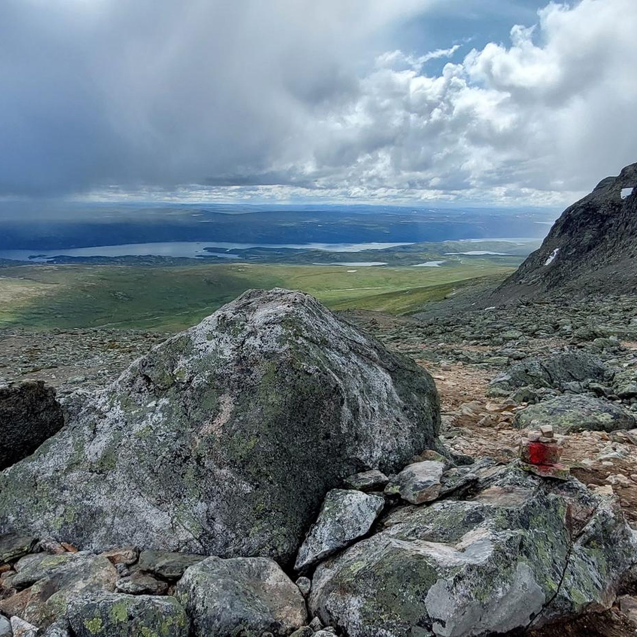
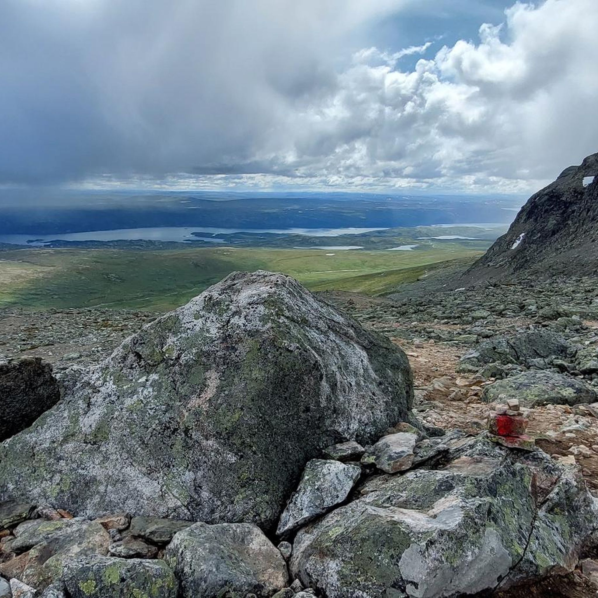
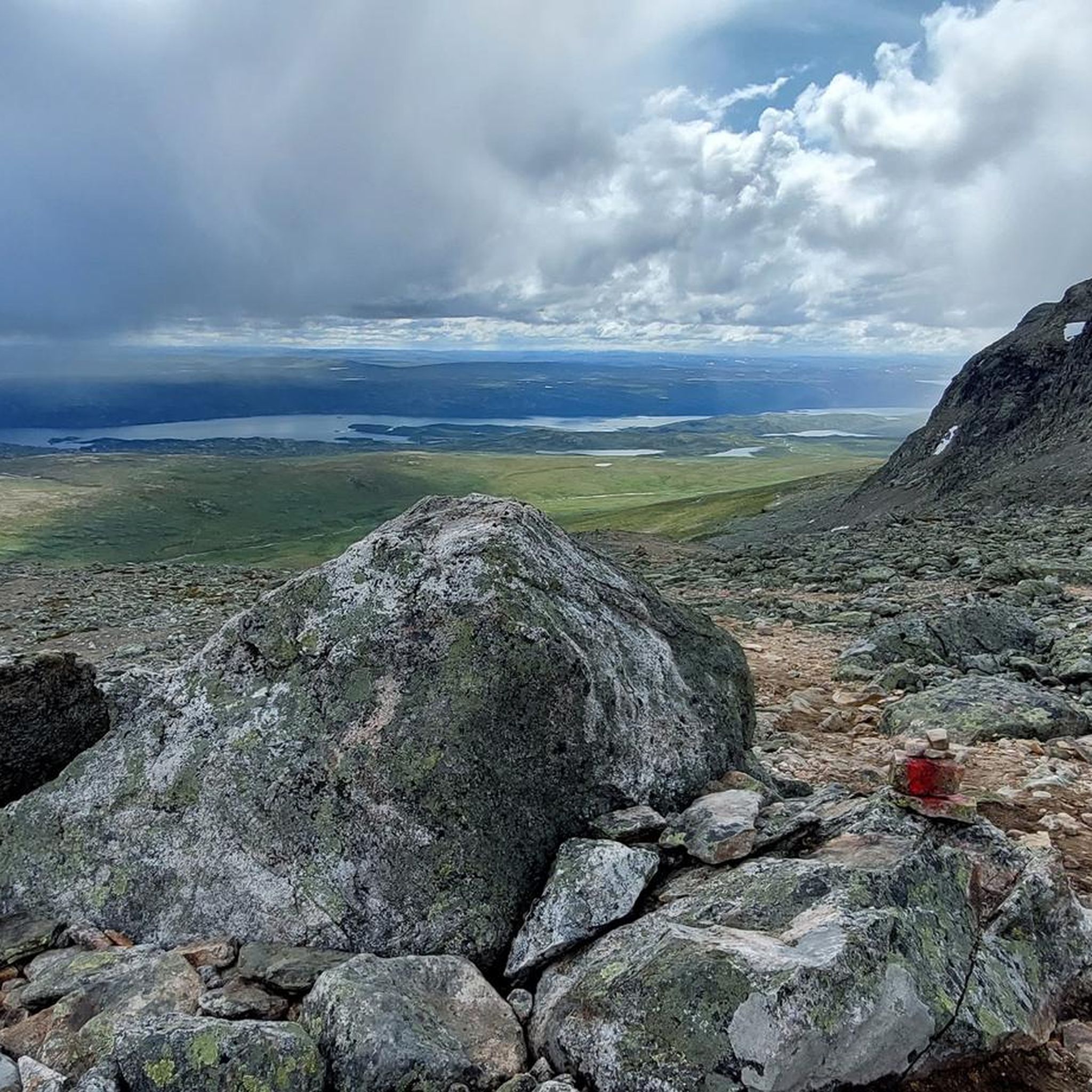
Tips from the Community

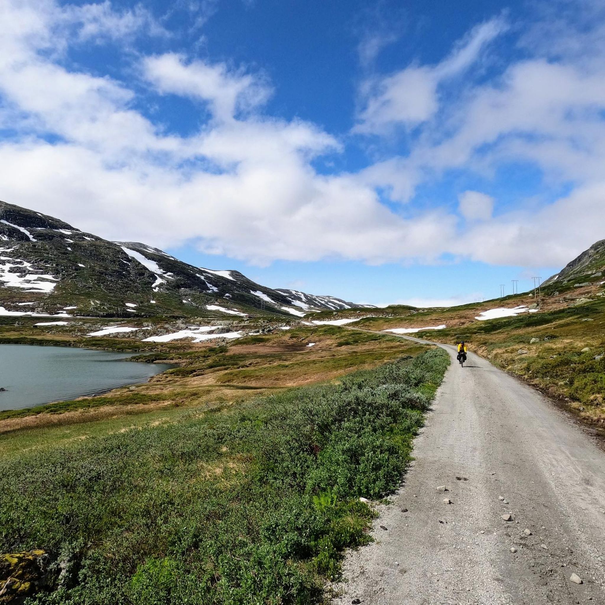
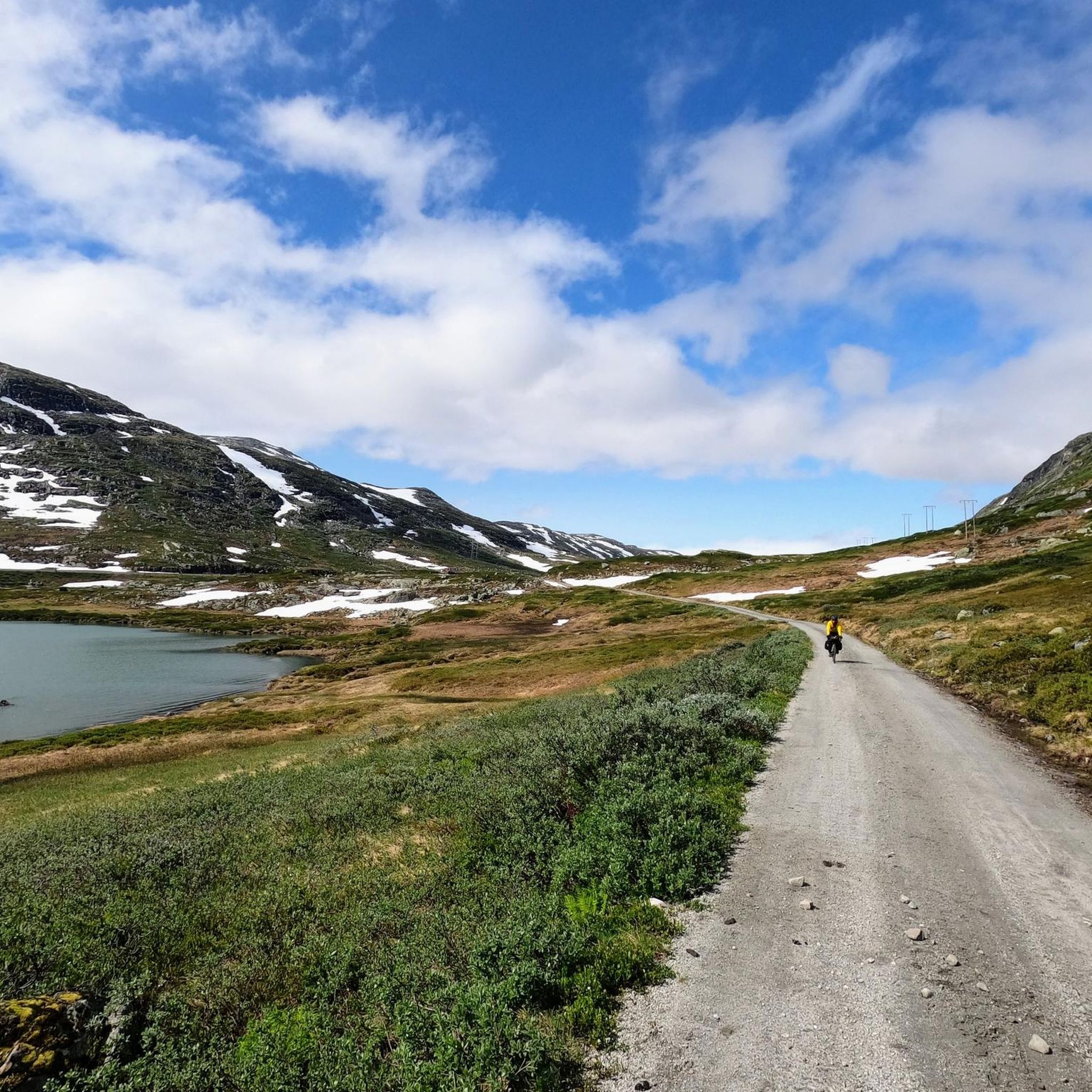
The gravel track along Nedsta Storurevatnet is one of the most scenic stretches of the route. It hugs the shoreline closely, with shimmering water on one side and steep mountainsides on the other. The surface is generally good, though it can be loose and stony in places.
1
0
This section of National Cycle Routes 4 & 5 is a little bumpy and overgrown, but with a touring bike it’s still perfectly doable — just take it steady and be ready to push briefly on the steepest ramps. The reward is a quiet, scenic stretch away from traffic.
1
0
This gravel road tops out at around 600 m (1,970 ft) and has a really good surface – well-packed gravel that’s easy to roll. Perfect for enjoying the open views without worrying about technical riding.
1
0

Peace, space, beautiful view
1
0

Nicely meandering through the woods and hills; although there are a lot of energy poles in front of the view.
0
0

Standing on the bridge, you can hear the sound of the river rushing beneath you. A beautiful spot in the magnificent natural surroundings.
0
0
Beautiful route between lakes on one side and the mountains on the other - beautiful view of a waterfall is included free of charge.
0
0

This gravel route through the forest is a nice alternative to the route along the lake.
0
0
Frequently Asked Questions
How many gravel bike trails are available around Hallingskarvet?
There are 7 gravel bike trails around Hallingskarvet listed in this guide, ranging from moderate to difficult. These routes are highly rated by the komoot community, with an average score of 4.8 stars.
What is the best time of year for gravel biking in Hallingskarvet?
The best time for gravel biking in Hallingskarvet is typically during the warmer months when the high mountain passes are clear of snow. The region research mentions that access points like Prestholtseter allow summer visitors to drive close to the base of the national park, indicating summer is ideal. Winter gravel biking would be challenging due to snow and harsh conditions.
Are there any family-friendly gravel biking routes in Hallingskarvet?
While the guide features routes with moderate to difficult ratings, the region offers a variety of trails. The Rallarvegen, for instance, is often hailed as one of Norway's most beautiful cycling routes and has sections suitable for touring bikes, which might be more accessible for families, though some parts can have coarse gravel. For specific family-friendly options, look for routes described as 'easy' or with minimal elevation gain.
Can I bring my dog on the gravel bike trails in Hallingskarvet?
Hallingskarvet National Park is a natural habitat for wildlife, including wild reindeer. While specific regulations for dogs on bike trails are not detailed, it's generally advisable to keep dogs on a leash in national parks to protect wildlife and ensure their safety. Always check local signage and national park guidelines before heading out with your dog.
What kind of terrain can I expect on Hallingskarvet's gravel routes?
You can expect diverse terrain, from high plateaus and steep cliffs to lush valleys and mountain passes. The region is 'riddled with gravel roads,' offering varied surfaces. Routes like Rallarvegen: Haugastøl to Finse follow historic railway construction roads through high mountain terrain, while others like the Hol Old Church loop from Båtsøyne lead through valleys and past historical sites.
Are there any circular gravel biking routes in the Hallingskarvet area?
Yes, there are circular routes available. For example, the Rallarvegen Riverside Path – Railway Tunnel Entrance loop from Haugastøl is a moderate 20.9-mile (33.7 km) path offering scenic views. Another option is the Hol Old Church loop from Båtsøyne, a longer 39.3-mile (63.3 km) difficult trail.
What are some notable sights or attractions along the gravel bike trails?
Along the trails, you can encounter various natural and historical sights. The Rallarvegen: Haugastøl to Finse itself is a highlight. You might also pass by the scenic Storurevatnet Lakeside Gravel Road or the Path by the Lake Near Finse. For those interested in the park's dramatic geology, the Rocky Gorge Route in Hallingskarvet National Park offers impressive views.
Where can I find accommodation or places to eat near the trails?
Geilo, a National Park Village at the foot of Hallingskarvet, serves as a natural starting point and offers accommodation, eateries, and activities. Haugastøl Turistsenter is also a key hub, providing services for cyclists. These locations are excellent bases for exploring the gravel routes.
Is there parking available at the trailheads?
Access points like Prestholtseter allow summer visitors to drive close to the base of the national park, suggesting parking is available at key entry points. Haugastøl is another accessible starting point for many routes, and it's common for such centers to offer parking facilities for outdoor enthusiasts.
What are the regulations for cycling within Hallingskarvet National Park?
Hallingskarvet National Park is a protected area. While the region is known for its extensive gravel road networks, specific cycling regulations or permit requirements for within the national park boundaries are not detailed in the provided information. It's always recommended to check the official national park website or local visitor centers for the most current rules and any necessary permits before your ride. You can find more general information about the park at nationalparksassociation.org.
What do other gravel bikers enjoy the most about their experience in Hallingskarvet?
The area is highly rated by the komoot community, with an average score of 4.8 stars from over 10 reviews. Reviewers often praise the dramatic and varied landscapes, the extensive gravel road networks, and the unique experience of exploring remote areas with few other cyclists. The combination of challenging rides and breathtaking natural beauty is a common highlight.
Are there options for more challenging or advanced gravel rides?
Yes, Hallingskarvet offers several challenging routes. The guide includes 3 difficult routes out of 7 total. For instance, the Hallingdal Route Loop is a demanding 87.6 km trail with significant elevation gain, and the 'High Voltage Route' through Hallingdal is noted for its over 80% gravel and challenging stretches.
How accessible are the starting points for these gravel routes?
Starting points are generally accessible. Geilo, a National Park Village, is a natural hub, and Haugastøl Turistsenter is well-known as a major rental provider and starting point for routes like the Rallarvegen. Prestholtseter also offers easy summer access to the national park's base, making it convenient to begin your ride.
Most popular routes around Hallingskarvet
Most popular attractions around Hallingskarvet

Get inspired with the komoot mobile app


Explore more
Browse the best Gravel rides in other regions.
