The best gravel rides around Heidebos
4.7
(14)
141
riders
19
rides
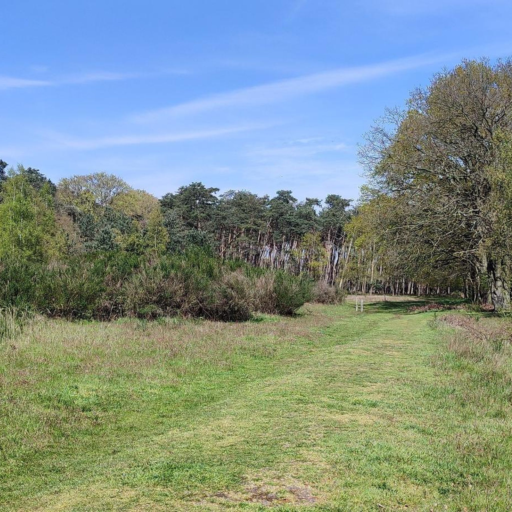
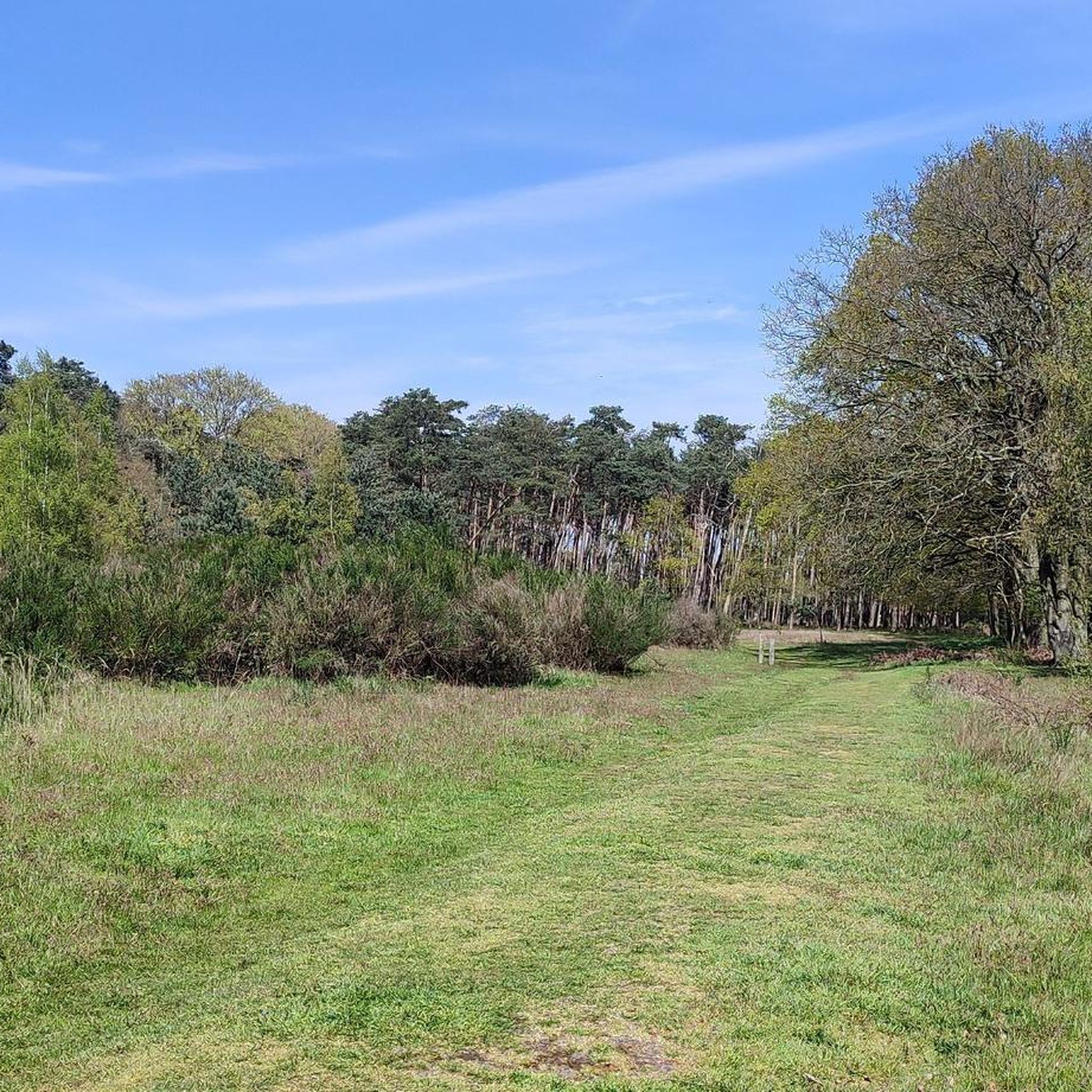
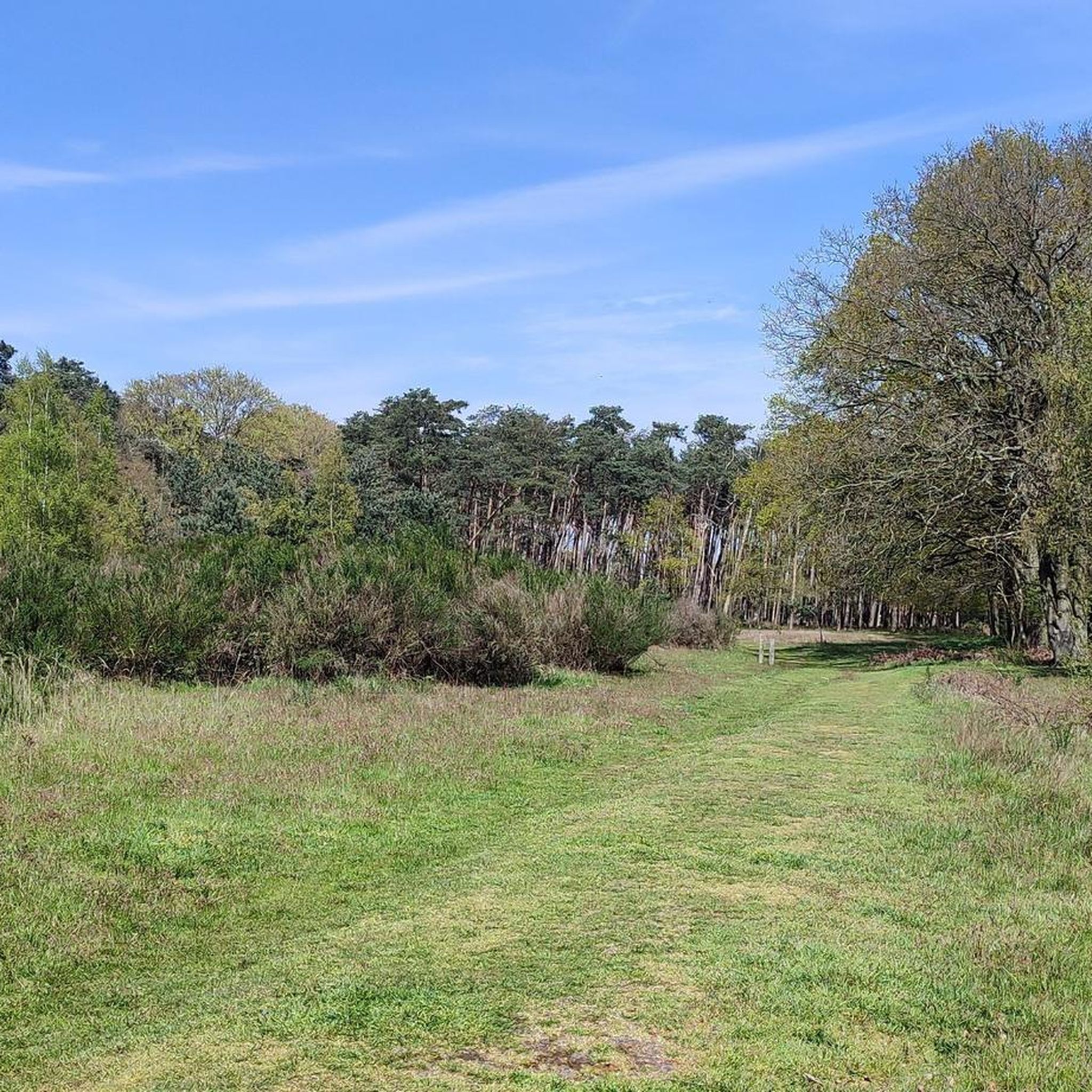
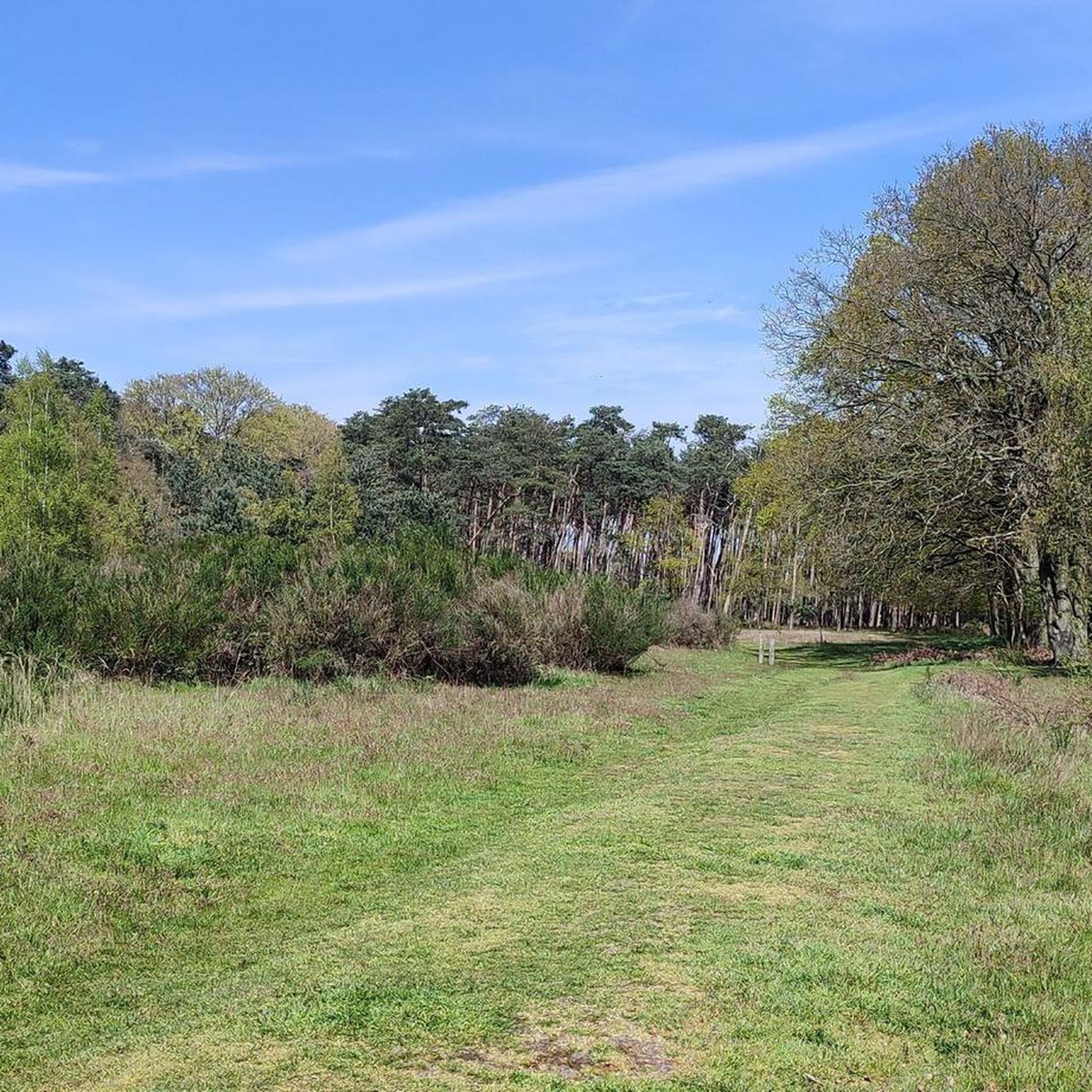
Gravel biking around Heidebos offers diverse routes through a unique mosaic of biotopes. The region features pine and birch-oak forests, poor grasslands, and expansive heathland, situated on a dry sandy ridge with numerous sandy spots. Riders can explore established gravel paths that range from mostly paved surfaces to unpaved, more challenging sections. The landscape also includes views of the lower Moervaart valley, providing varied terrain for gravel cyclists.
Best gravel bike trails around Heidebos
- The most popular gravel bike trail…
Last updated: July 8, 2026
4.0
(1)
13
riders
Moderate gravel ride. Good fitness required. Mostly paved surfaces. Suitable for all skill levels.
8
riders
Hard gravel ride. Good fitness required. You may need to push your bike for some segments of this route.

Sign up for free
8
riders
78.7km
04:16
80m
80m
Hard gravel ride. Good fitness required. You may need to push your bike for some segments of this route.
5.0
(3)
22
riders
47.1km
02:37
50m
50m
Hard gravel ride. Good fitness required. You may need to push your bike for some segments of this route.
5.0
(2)
16
riders
49.8km
02:56
60m
60m
Moderate gravel ride. Good fitness required. Mostly paved surfaces. Suitable for all skill levels.
Get access to more routes and recommendations from other explorers.
Sign up for free
Already have an account?
Our route recommendations are based on thousands of hikes, rides, and runs completed by other people on komoot.
Start today with a free account
Your next adventure awaits.
Login or Signup
Tips from the Community

The creek area of Saleghem is more than the sum of its parts. The nature reserve consists of the Grote Saleghemgeul on one side, and the Sint-Jakobsgat and the Kieldrechtse Watergang on the other. This triumvirate of water creeks then flows into the Grote Geule in Kieldrecht. Each separately is beautiful, yes. But together they are magical. The succession of gently sloping banks, grassland and hay, rare birds and colourful flowers, rustling reeds and melancholic willows: it silences a person. It inspires awe for the magic of nature. And everyone can enjoy it – even wheelchair users, because there is a special wheelchair walk around the creek lakes. This is what waasland.be writes... and there is nothing to contradict it.
2
0
The wooden arch bridge over the Stekense Vaart, named after Frans Coppens, was receiver-clerk in the municipality of Sinaai for almost a quarter of a century. He played an important role in "de Groote Watering van Sinay", the name given to the project launched by the Boerenbond in 1926. This project was initiated after repeated floods and aimed to make the polders 'dry'. The construction of the pumping station near Hondsnest was one of the first achievements within this project. During the Second World War, the unemployed were employed to clean or widen ditches. Under the impetus of dike reeve Jozef "meester" Maes and... receiver-clerk Frans Coppens (!), major reclamation works were carried out in the 60s, continuing into the following decades. Thus, Hondsnest got a new pumping station in 1975. In the meantime, the watering area had been converted into a polder, pursuant to the polder law of June 3, 1957. source: info file "Polder Daknam-Sinaai"
2
0

This open water (creek) is a remnant of a military inundation in the fight against the French in the War of the Spanish Succession - period 1701–1713. By breaching this dike, the polders behind it around Koewacht were flooded. When restoring the dike, they went around the deepest part of the stream channel.
6
0
An ideal stopping point on your cycling or hiking experience: Step back in time and discover a hidden piece of history: Fort Sint-Jacob. This fascinating remnant from the Eighty Years' War takes you back to a period when borders were still fought over and waterways made the difference between safety and danger. Located on the Passageule, this fort once formed a crucial link between the Spanish Netherlands and the States' territories. As part of the impressive States-Spanish Lines, Fort Sint-Jacob guarded the border and held back enemy infiltrations from the north. After the Peace of Münster, the fort lost its military function and slowly faded into obscurity. Nature took over, until around 2010 it was restored with care and respect for the past. Today, you can once again experience the contours of the past, including a replica of a cannon that symbolises the struggle that was once waged here. But Fort Sint-Jacob is more than just history. It is a place where peace and nature meet. The ramparts and moats now form a unique landscape where special plants and animals feel at home, typical of the brackish Zeeland area. Whether you are walking or cycling, this is an ideal place to pause, enjoy, and let yourself be carried away by the past. Let yourself be surprised and experience Fort Sint-Jacob for yourself.
3
0
The gravel path is semi-hardened. The landscape you see here was partly shaped during the Spanish-Dutch struggle in the Eighty Years' War. Note the dikes and elevations in the landscape. These were important during the turbulent war years.
6
0

The Dambrug bridge dates from the interwar period and was restored and partially renewed around 1945 after war damage. Originally, the bridge was manually operated, but it now has hydraulic operation. Source: Inventaris Onroerend Erfgoed
3
0
Daknambrug in Daknam, a sub-municipality of Lokeren. This charming swing bridge over the Durme is located at the site of a former ferry crossing on the old Lille-Tilburg highway. Such a ferry served as a bridge to transport people, livestock, horses, and vehicles. The current swing bridge has replaced a small wooden bridge since the 1930s. At that time, the Durme was straightened here between the confluence of the Zuidlede and Moervaart at Spletterenbrug and the bend near Middendam. In the summer, you can see the bridge keeper opening the bridge to let pleasure boats pass, sailing to or from Lokeren.
5
0
Frequently Asked Questions
What kind of terrain can I expect on gravel bike trails in Heidebos?
Heidebos offers a diverse mix of terrain. You'll find established gravel paths, some segments that are mostly paved, and others that are unpaved and more challenging. The area is situated on a dry sandy ridge, so expect sandy spots, especially in certain sections. The routes wind through pine and birch-oak forests, poor grasslands, and expansive heathland, providing varied surfaces and landscapes.
Are there gravel routes suitable for beginners or families in Heidebos?
Yes, Heidebos has options for various skill levels. While some routes are more demanding, there are also easier rides with mostly paved surfaces, making them suitable for beginners or families looking for a more relaxed experience. The guide lists 6 easy routes, which are a great starting point.
What is the overall difficulty level of gravel biking in Heidebos?
The gravel biking routes in Heidebos range from easy to difficult. Out of 31 total routes, 6 are considered easy, 16 are moderate, and 9 are difficult. This variety ensures that both casual riders and those seeking a challenge can find suitable trails. For example, the Towpath Along the Moervaart – Cycle Path Along the Moervaart loop from Moerbeke is a moderate option, while the Trompkapel – MTB Playground loop from Koewacht is rated difficult.
What are some notable natural features or landscapes I'll see while gravel biking in Heidebos?
Heidebos is known for its unique mosaic of biotopes. You'll cycle through pine and birch-oak forests, poor grasslands, and expansive heathland. The area is on a dry sandy ridge, offering sandy spots and views of the lower Moervaart valley. In autumn, the heathland transforms into a 'purple wave,' and the forests display vibrant reds and browns, making it a particularly scenic time to visit.
Are there any historical sites or landmarks to explore along the gravel routes?
Yes, Heidebos holds intriguing historical elements. You can find relics from the Eighty Years' War, such as the ramparts of Fort Francipanie and the Parmavaart. There are also traces of old windmills and a former airfield with visible concrete runways, offering glimpses into the area's past. For a specific point of interest, consider visiting the Brenda Froyen Memorial Bench.
What is the best time of year to go gravel biking in Heidebos?
While Heidebos is enjoyable year-round, the autumn months are particularly scenic. During this time, the heathland turns into a 'purple wave,' and the forest foliage displays a vibrant palette of reds, ochre, and browns. This makes for a visually stunning gravel biking experience.
Where can I park my car when visiting Heidebos for gravel biking?
There are designated parking areas available for visitors. One convenient option is the Heidebos Trailhead — Parking 2, which serves as a good starting point for many routes.
Are there any circular gravel bike routes in Heidebos?
Yes, many of the gravel routes in Heidebos are designed as loops, allowing you to start and end at the same point. For instance, the Towpath Along the Moervaart – Cycle Path Along the Moervaart loop from Heidebos is a popular circular option that provides extended views along the Moervaart valley.
What do other gravel bikers say about the trails in Heidebos?
The routes in Heidebos are highly rated by the komoot community, with an impressive average score of 4.9 stars from more than 10 reviews. Over 180 gravel bikers have used komoot to explore the varied terrain, often praising the diverse landscapes and well-maintained paths.
How many gravel bike trails are available in the Heidebos area?
There are over 30 gravel bike trails available in the Heidebos area, offering a wide range of distances and difficulties to suit different preferences and fitness levels.
Can I see any wildlife or unique flora while cycling in Heidebos?
Heidebos is a haven for biodiversity. You might spot rare plants like the dog violet and bird's-foot trefoil, specific fungi, colorful butterflies, and diverse birdlife, including the European nightjar and black woodpecker. Galloway cattle also graze year-round, helping maintain the heathland's natural structure.
Are there any viewpoints or scenic spots along the gravel routes?
Yes, the diverse landscape of Heidebos offers several scenic spots. You can enjoy views of the lower Moervaart valley, and there's a specific View of the restoration of flower-rich grassland that provides a beautiful vista.
What is the longest gravel bike route available in Heidebos?
One of the longer gravel routes is the Clingebos Forest Path – Great Saleghem Channel loop from Overslag, which spans 45.7 miles (73.5 km) and typically takes about 5 hours and 6 minutes to complete. This route leads through the scenic Clingebos Forest.
Most popular routes around Heidebos
Most popular attractions around Heidebos

Get inspired with the komoot mobile app


Explore more
Browse the best Gravel rides in other regions.
