The best gravel rides around Forêt domaniale de Brotonne
4.6
(11)
83
riders
28
rides
Gravel biking around Forêt domaniale de Brotonne offers routes through dense woodlands and along riverine paths. The region is characterized by its extensive forest cover and relatively gentle terrain, with some sections following the bends of the Seine River. Elevation changes are generally mild, making it suitable for various skill levels. The landscape primarily consists of forest tracks and rural roads, providing a consistent surface for gravel bikes.
Best gravel bike trails around Forêt domaniale de Brotonne
- The most popular…
Last updated: July 2, 2026
5
riders
Hard gravel ride. Good fitness required. You may need to push your bike for some segments of this route.
2
riders
52.8km
03:11
410m
410m
Moderate gravel ride. Good fitness required. Mostly paved surfaces. Suitable for all skill levels.

Sign up for free
4.7
(3)
9
riders
57.5km
03:39
360m
360m
Moderate gravel ride. Good fitness required. Mostly paved surfaces. Suitable for all skill levels.
15
riders
93.4km
05:54
760m
760m
Hard gravel ride. Very good fitness required. Mostly paved surfaces. Suitable for all skill levels.
5
riders
Moderate gravel ride. Good fitness required. Mostly paved surfaces. Suitable for all skill levels.
Get access to more routes and recommendations from other explorers.
Sign up for free
Already have an account?
Our route recommendations are based on thousands of hikes, rides, and runs completed by other people on komoot.
Start today with a free account
Your next adventure awaits.
Login or Signup

Tips from the Community

The 3 bridges between Le Havre and Rouen (Normandy, Tancarville and Brotonne (the latter quite dangerous for bicycles) are very high because they have to allow passage of large tonnage boats intended to supply Paris, the Seine being an important component. These boats are then unloaded in Rouen onto smaller tonnage boats which go to Paris. This system of ferries, surprisingly free, is therefore there to compensate for this lack of possible crossings. Do not hesitate to use them, it is really a very nice plus.
0
0

Please note that this route uses private roads and is therefore prohibited!!
0
0


To avoid the extremely high bridges over the Seine, we chose the ferry. We enjoyed the crossing – completely uncomplicated and pleasant. I took photos of the departure times.
1
0

The bridge itself is magnificent and it is also the only one in the region with a large cycle path and light traffic.
0
0


Pay attention to the new bridge sector junctions
0
0

I've safely crossed the bike-tractor lane in the center of the road several times in both directions. I'm prone to vertigo, however, so I don't hesitate to cross it. (5 minutes for 2 km) However, in even moderately windy weather, I absolutely avoid it. The view is magnificent from every angle, both from the top and the side. On the other hand, my wife crosses it without any problem and appreciates the width of the very wide bike path (2.50 m), which is much safer than the Tancarville Bridge or the Normandy Bridge. (The path is almost nonexistent and strongly discouraged on this bridge: take the bus to cross it!)
0
0
Frequently Asked Questions
How many gravel bike trails are available in Forêt domaniale de Brotonne?
Forêt domaniale de Brotonne offers over 25 gravel bike trails, catering to various skill levels. You'll find a mix of easy, moderate, and challenging routes through the forest and along the Seine River.
Are there gravel bike trails suitable for beginners or families in Forêt domaniale de Brotonne?
Yes, the region has several easy gravel bike trails perfect for beginners and families. For instance, the La Douillère Nature Reserve – Bac Heurteauville loop from Tourbière d'Heurteauville is an 8.6-mile (13.8 km) route that explores a nature reserve and includes a ferry crossing, making it an enjoyable option for a shorter ride.
What kind of terrain can I expect on gravel bike trails in Forêt domaniale de Brotonne?
The terrain primarily consists of forest tracks and rural roads, providing a consistent surface for gravel bikes. You'll navigate through dense woodlands and along riverine paths, with generally mild elevation changes. Some routes offer more challenging sections with greater elevation gain, such as the Villequier – Old Port loop from Villequier.
Are there any challenging gravel bike routes for experienced riders?
Absolutely. For experienced riders seeking more elevation and distance, routes like the Villequier – Old Port loop from Villequier offer a significant challenge. This 57.8-mile (93.1 km) trail features varied landscapes and considerable elevation gain, often taking around 7 hours to complete.
What are some scenic viewpoints or attractions along the gravel bike trails?
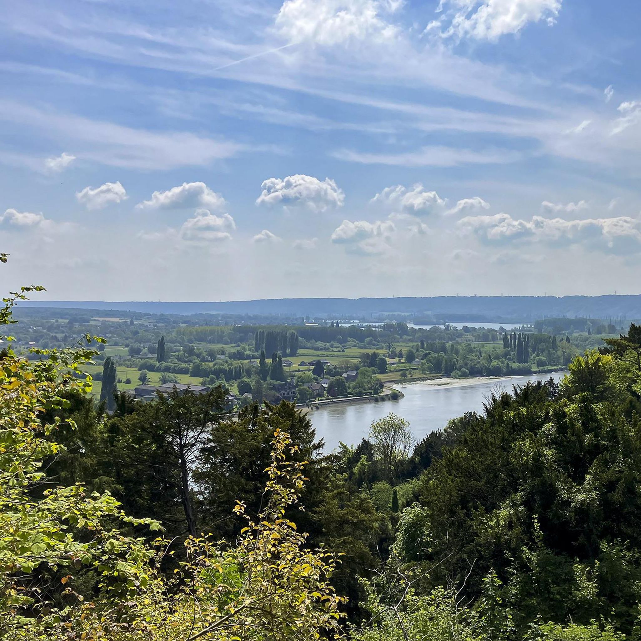
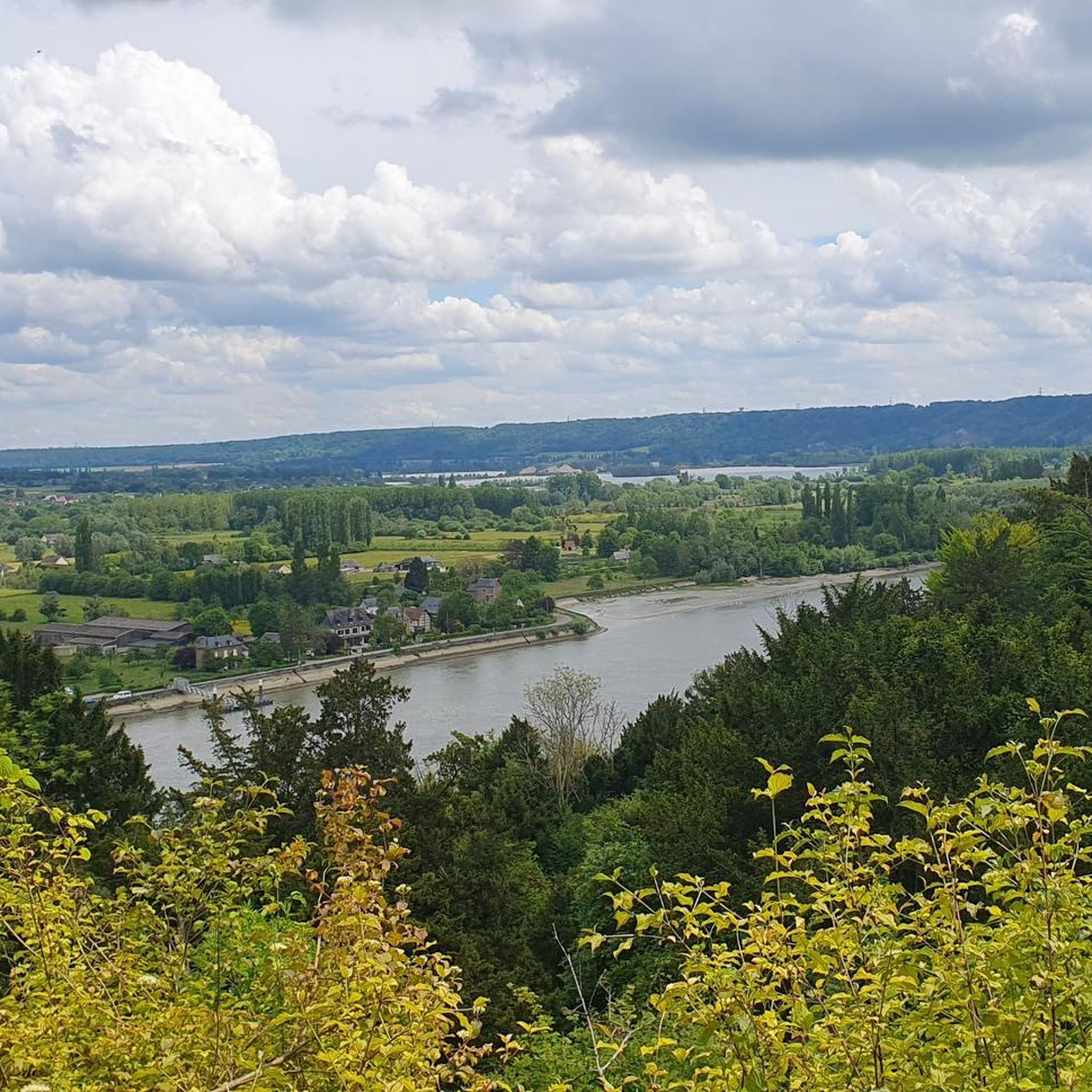
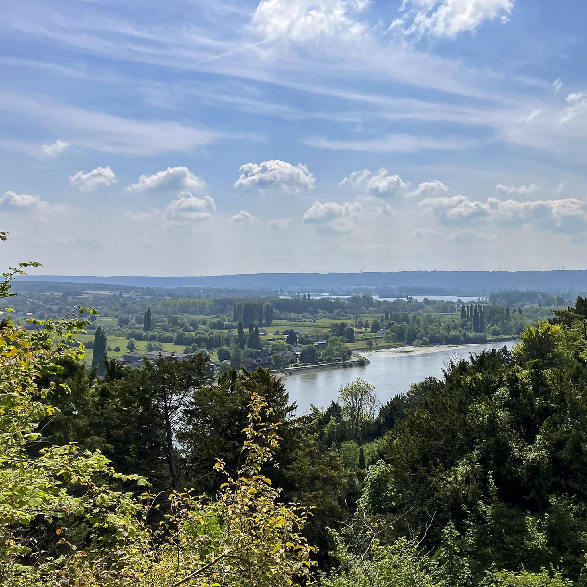
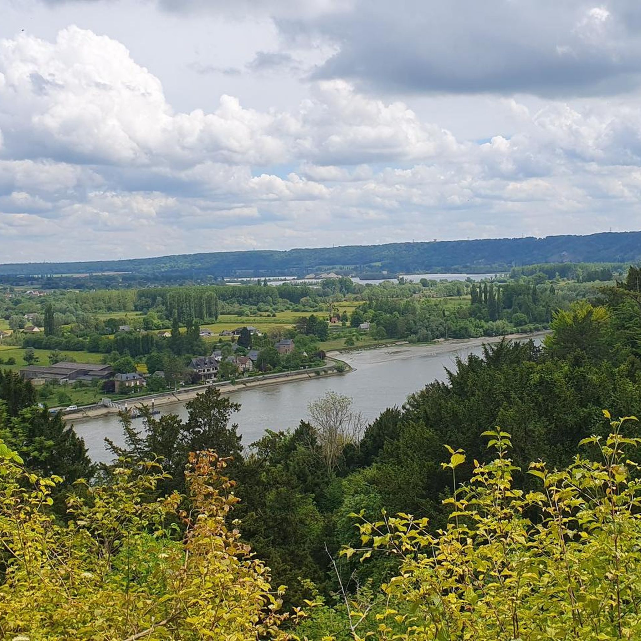
Many trails offer scenic views, especially along the Seine River. You can find notable spots like the Orientation table and view of the Seine valley. The Jumièges Abbey – The Jumièges ferry loop from Yainville also features historical sites like Jumièges Abbey and scenic river views, including a ferry crossing at Heurteauville–Jumièges Ferry.
Are there circular gravel bike routes available?
Yes, many of the gravel bike routes in Forêt domaniale de Brotonne are designed as loops, allowing you to start and end at the same point. Examples include the La Douillère Nature Reserve – Bac Heurteauville loop and the Brotonne Bridge – Pont de Brotonne loop from Saint-Nicolas-de-Bliquetuit.
Where can I park my car when gravel biking in Forêt domaniale de Brotonne?
Parking is generally available at the starting points of many trails, particularly in and around the villages bordering the forest. For example, routes often begin from locations like Tourbière d'Heurteauville, Yainville, or Villequier, where public parking is typically accessible. Always check local signage for specific parking regulations.
What is the best season for gravel biking in Forêt domaniale de Brotonne?
Spring and autumn are generally ideal for gravel biking in Forêt domaniale de Brotonne, offering pleasant temperatures and beautiful foliage. Summer can also be enjoyable, especially within the shaded forest sections. While winter riding is possible, be prepared for potentially muddy conditions and cooler temperatures.
Are there places to eat or drink along the gravel bike trails?
While the trails themselves are primarily through natural areas, you'll find cafes and restaurants in the villages and towns bordering the forest, such as Jumièges, Villequier, or Saint-Nicolas-de-Bliquetuit. It's advisable to plan your route to pass through these areas for refreshment stops or carry sufficient supplies.
How can I access the gravel bike trails using public transport?
Access to Forêt domaniale de Brotonne via public transport can be limited, as is common for many forest regions. Some routes, particularly those near larger towns along the Seine, might be reachable by regional bus services. It's recommended to check local transport schedules for specific villages like Jumièges or Yainville if you plan to use public transport.
What do other gravel bikers enjoy most about gravel biking in Forêt domaniale de Brotonne?
The area is highly rated by the komoot community, with an average score of 4.5 stars. Reviewers often praise the diverse landscape, from dense woodlands to scenic river paths, and the variety of routes suitable for different skill levels. The tranquility of the forest and the historical points of interest are also frequently highlighted.
Most popular routes around Forêt domaniale de Brotonne
Most popular attractions around Forêt domaniale de Brotonne

Get inspired with the komoot mobile app


Explore more
Browse the best Gravel rides in other regions.
