The best gravel rides around Häslachwald
4.6
(795)
4,272
riders
201
rides
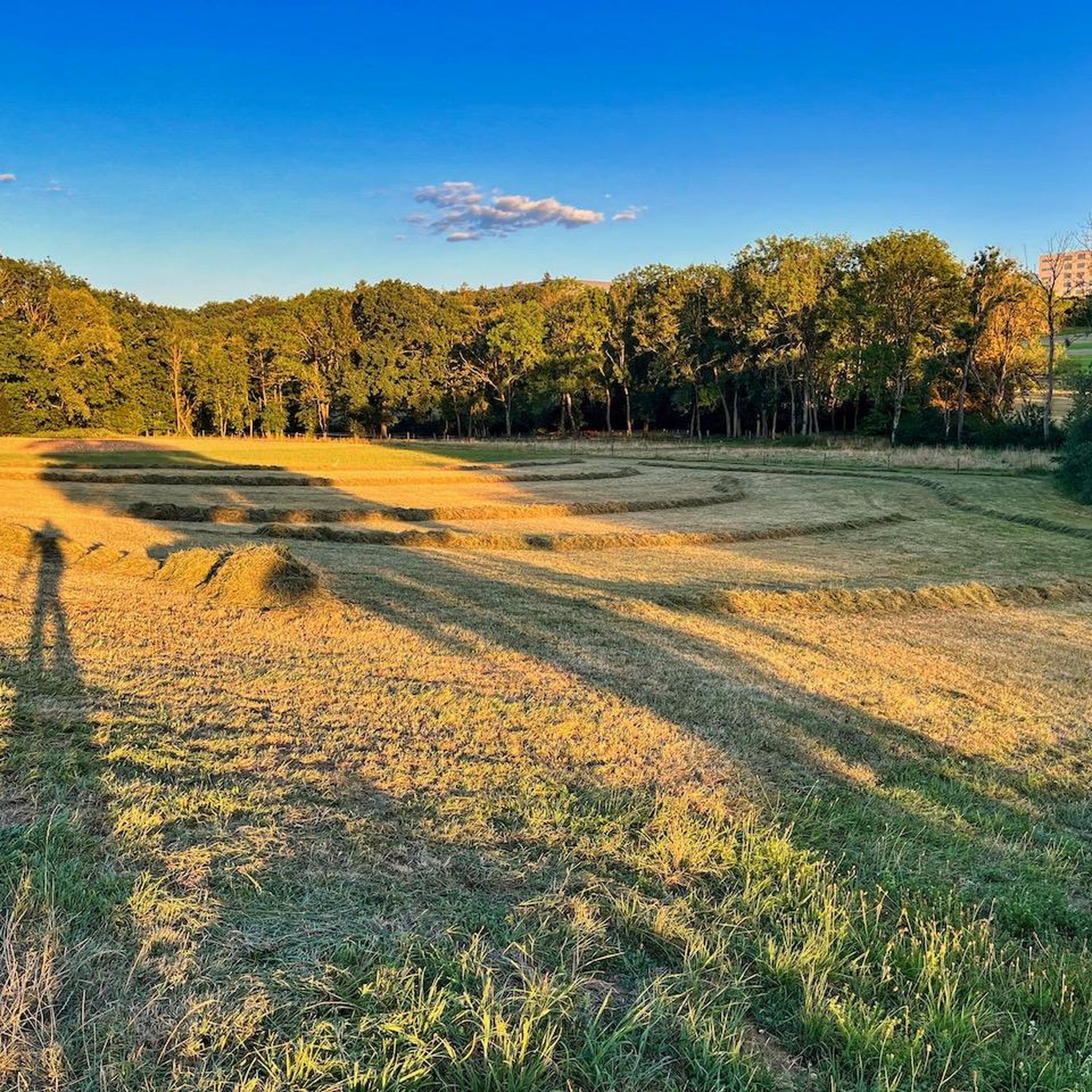
Gravel biking around Häslachwald offers a diverse landscape characterized by tranquil forests and the scenic Körsch Valley. The region features a network of car-free paths that follow the course of a wild stream, providing varied terrain for riders. Gentle ascents and descents are common, with some routes presenting moderate elevation changes. As a nature reserve, Häslachwald maintains an unspoiled environment with secluded paths.
Best gravel bike trails around Häslachwald
- The most popular gravel bike trail is Panzerstraße Cycle Path –…
Last updated: July 11, 2026
5.0
(2)
14
riders
Moderate gravel ride. Good fitness required. Mostly paved surfaces. Suitable for all skill levels.
4.5
(31)
151
riders
Hard gravel ride. Very good fitness required. Mostly paved surfaces. Suitable for all skill levels.

Sign up for free
4.7
(9)
51
riders
Hard gravel ride. Very good fitness required. You may need to push your bike for some segments of this route.
4.7
(7)
50
riders
Moderate gravel ride. Good fitness required. Mostly paved surfaces. Suitable for all skill levels.
4.5
(15)
69
riders
95.2km
05:12
820m
820m
Hard gravel ride. Very good fitness required. Mostly paved surfaces. Suitable for all skill levels.
Get access to more routes and recommendations from other explorers.
Sign up for free
Already have an account?
Our route recommendations are based on thousands of hikes, rides, and runs completed by other people on komoot.
Start today with a free account
Your next adventure awaits.
Login or Signup
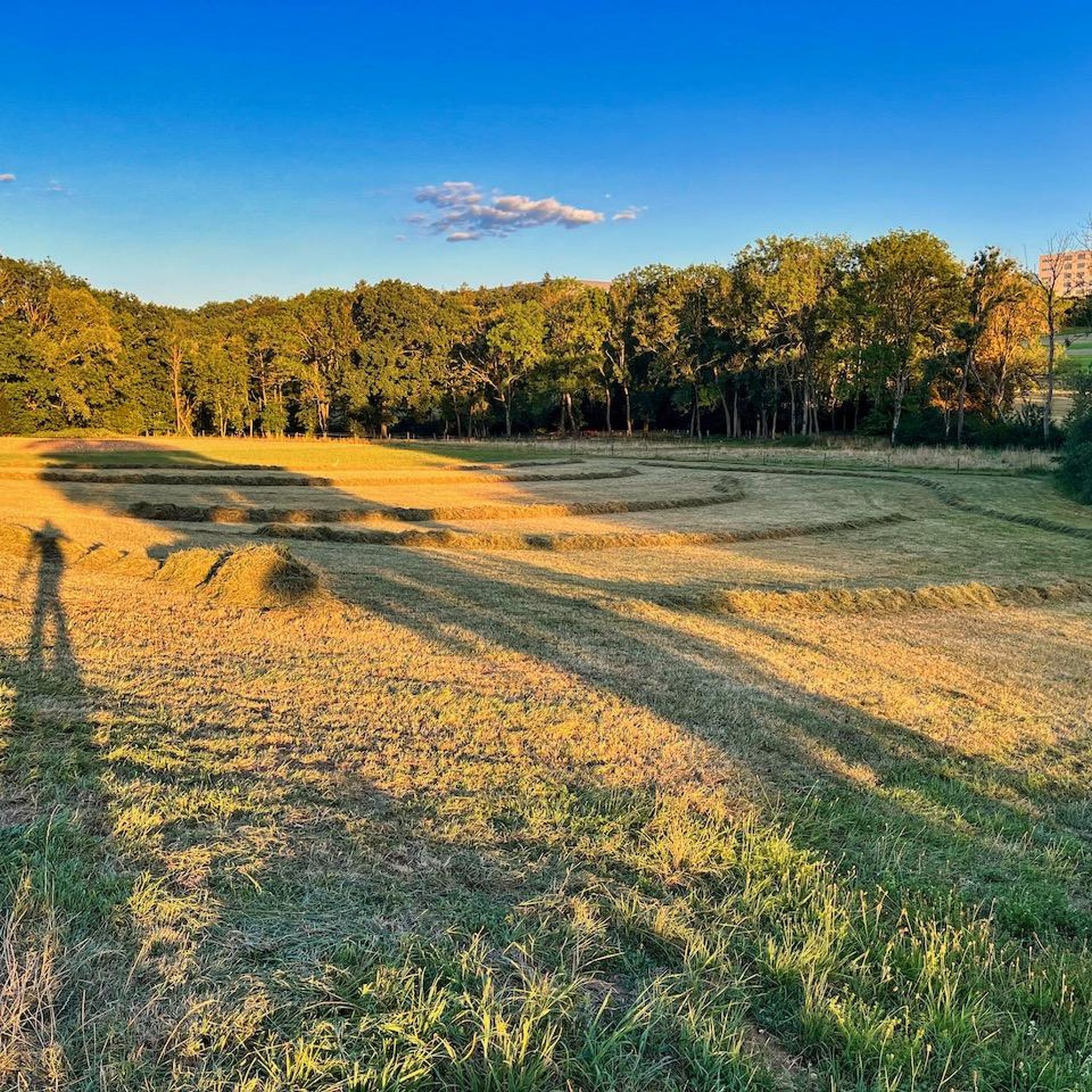
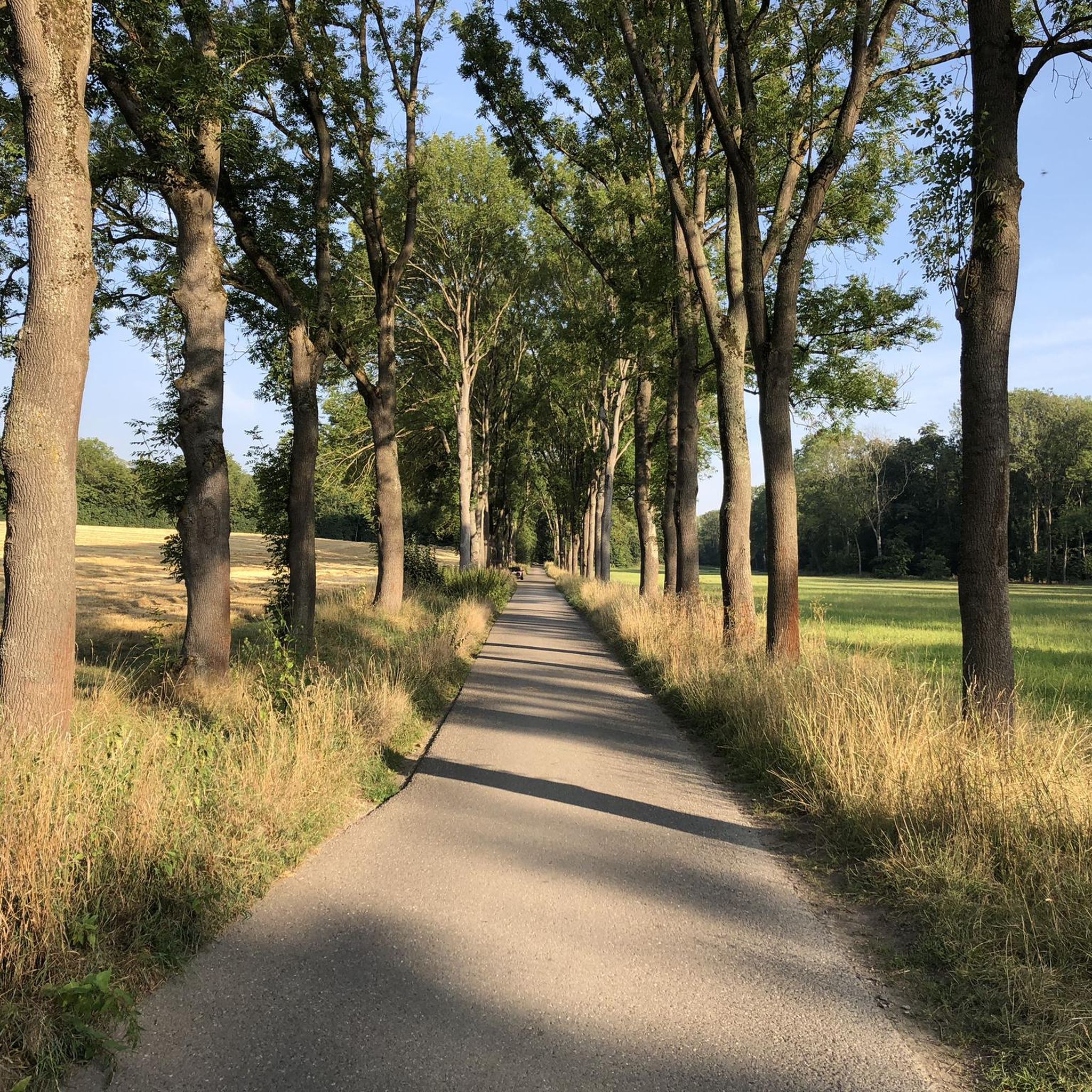
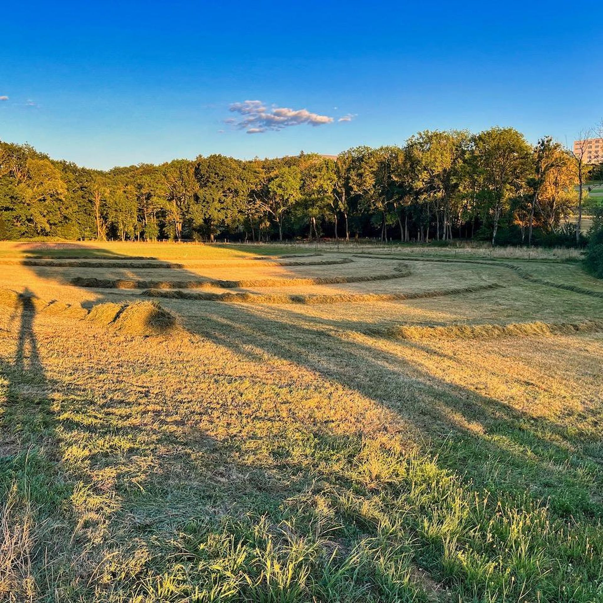
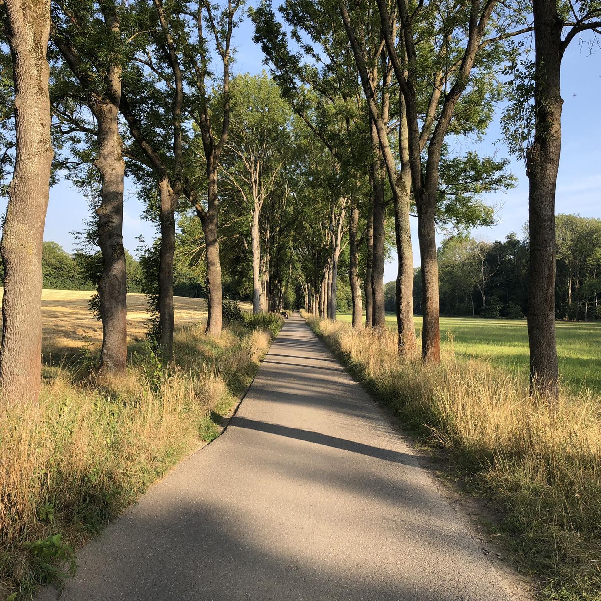

Tips from the Community

Old gravel pits and swimming ponds line up here in the Neckar valley.
2
0

The headings ‘Bicycle’ and even more so ‘Mountain bike’ unfortunately do not fit this route at all. I have been riding here every morning for a few months: The path is intensively used by dog owners. When you rush past the owners as a mountain biker, it understandably causes a lot of anger and frustration. This is the wrong route for a sporty MTB tour. My tip for the evening: I ride here in the morning to commute, but in the evening I prefer to detour via Degerloch to the Woodpecker Trail – you can really let loose there.
0
0


.. the "Botanical Garden" is part of the "Hohenheimer Gärten" near the "University of Hohenheim". - S-Hohenheim are located "between" Stuttgart-Plieningen and Stuttgart Birkach, Baden-Württemberg. - https://gaerten.uni-hohenheim.de/botanischergarten - optimal entrance: Entrance "Garbenstraße/Paracelsusstr." - the public grounds are open all year round and accessible free of charge - noteworthy grounds For interested parties, further detailed information: - the "Hohenheimer Gärten" cover more than 30 hectares - the oldest garden part, the so-called "Exotic Garden", was founded in 1776 by "Duke Carl Eugen of Württemberg" and "Franziska von Hohenheim" - in addition, there is the "Landscape Garden", the "Palace Park" ... - Plan 2026: https://gaerten.uni-hohenheim.de/fileadmin/einrichtungen/gartenbau/pdf_dateien/Verschiedenes_2020/Hohenheimer_Gaerten_Gartenplan.pdf - The lawns may be entered for viewing the trees and plants, but not for lying down
0
0

Good paths remaining refreshment stops
0
0
Taking a break here on the Neckar balcony makes sense!
3
0

A pedestrian and bicycle bridge over the Neckar river, which also offers good views of the river.
5
0

A very nice, fast-flowing path for leisurely biking with side strips for pedestrians.
1
0
Frequently Asked Questions
How many gravel bike trails are available in Häslachwald?
Häslachwald offers a wide selection of gravel bike trails, with over 400 routes to explore. These range from easy to difficult, ensuring options for all skill levels.
What kind of terrain can I expect on gravel bike trails in Häslachwald?
The terrain in Häslachwald is diverse, featuring quiet forest landscapes and the serene Körsch Valley. You'll find shady gravel paths, some following a wild stream, with both gentle ascents and descents. Certain routes also present moderate to significant elevation changes, offering a varied and engaging biking experience.
Are there any easy gravel bike trails suitable for beginners or families?
Yes, Häslachwald has routes suitable for beginners and families. While many trails offer moderate to difficult challenges, there are 23 easy routes available. The Körsch Valley Trail in Häslach Forest is generally easy to navigate, though it can be muddy after rain, and provides a beautiful, quiet forest path experience.
What are some notable natural features or landmarks I might see while gravel biking in Häslachwald?
While gravel biking in Häslachwald, you'll encounter the beautiful Körsch Valley, known for its serene environment and flowing water. Other natural highlights include the Ash Avenue on Königsweg with its old trees, and the Körsch stream itself. The area is a nature reserve, preserving a rich mosaic of habitats.
What do other gravel bikers enjoy most about the trails in Häslachwald?
The gravel bike trails in Häslachwald are highly rated by the komoot community, with an average score of 4.5 stars from over 1,700 reviews. Riders often praise the quiet, car-free paths, the diverse terrain, and the scenic forest and river valley landscapes. The unspoiled environment and varied options for different ability levels are also frequently highlighted.
Are there any challenging gravel bike routes for experienced riders?
Absolutely. Häslachwald offers 205 difficult routes for experienced gravel bikers. For example, the Philosophenweg singletrack – Eichenhain Nature Reserve loop from Filderstadt is a demanding 26.8-mile path with significant elevation gain. Another challenging option is the Water Lily Pond in the Schaich Valley – Goldersbach valley loop from Filderstadt, a 36.5-mile trail with considerable climbing.
Is Häslachwald suitable for dog-friendly gravel biking?
Häslachwald, as a nature reserve with quiet, car-free forest paths, can be a pleasant area for gravel biking with dogs. However, always ensure your dog is under control, especially in a nature reserve where wildlife is protected, and be mindful of local regulations regarding dogs on trails.
What is the best time of year to go gravel biking in Häslachwald?
The quiet forest paths and varied terrain of Häslachwald make it enjoyable for gravel biking across multiple seasons. Spring and autumn offer pleasant temperatures and beautiful scenery. While generally accessible, some paths, particularly in the Körsch Valley, can become muddy after rain, so checking weather conditions is advisable.
Are there any loop trails for gravel biking in Häslachwald?
Yes, many gravel bike routes in Häslachwald are designed as loops, allowing you to start and end at the same point. The Körsch Valley Trail in Häslach Forest – Körsch Valley Cycle Path loop from Plieningen is a popular example, offering a circular route through the quiet forest.
Where can I find parking for gravel biking in Häslachwald?
While specific parking areas within the immediate Häslachwald nature reserve are limited due to its car-free nature, you can typically find parking in nearby towns or at trailheads on the periphery of the forest. For example, routes often start from locations like Plieningen or Filderstadt, where parking facilities are available.
Can I reach Häslachwald's gravel trails using public transport?
Yes, Häslachwald is accessible via public transport, particularly from Stuttgart and surrounding areas. Many routes start from towns like Plieningen or Filderstadt, which are well-connected by bus or S-Bahn services. It's advisable to check local public transport schedules and bike carriage policies before planning your trip.
Most popular routes around Häslachwald
Most popular attractions around Häslachwald

Get inspired with the komoot mobile app


Explore more
Browse the best Gravel rides in other regions.
