The best gravel rides around Reuberg
4.6
(17)
56
riders
23
rides
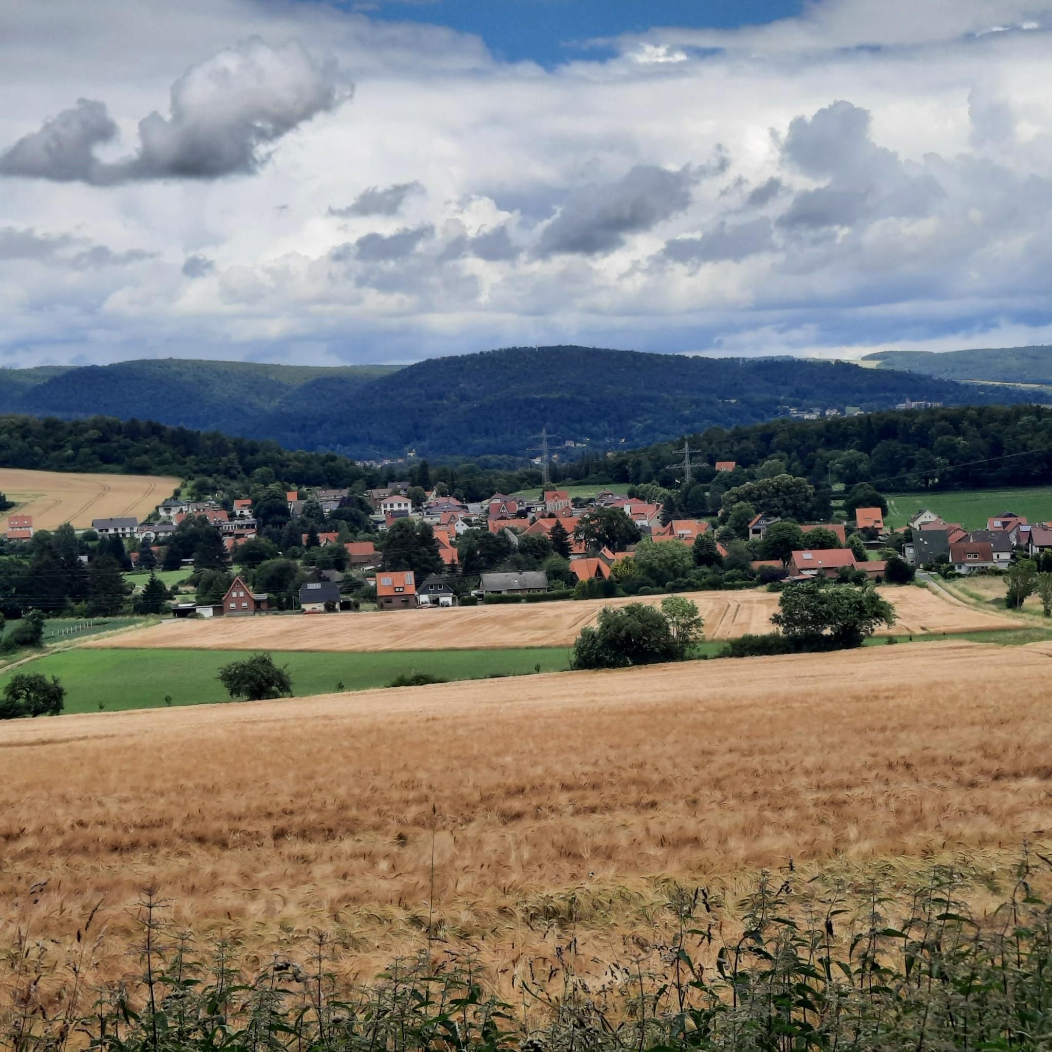
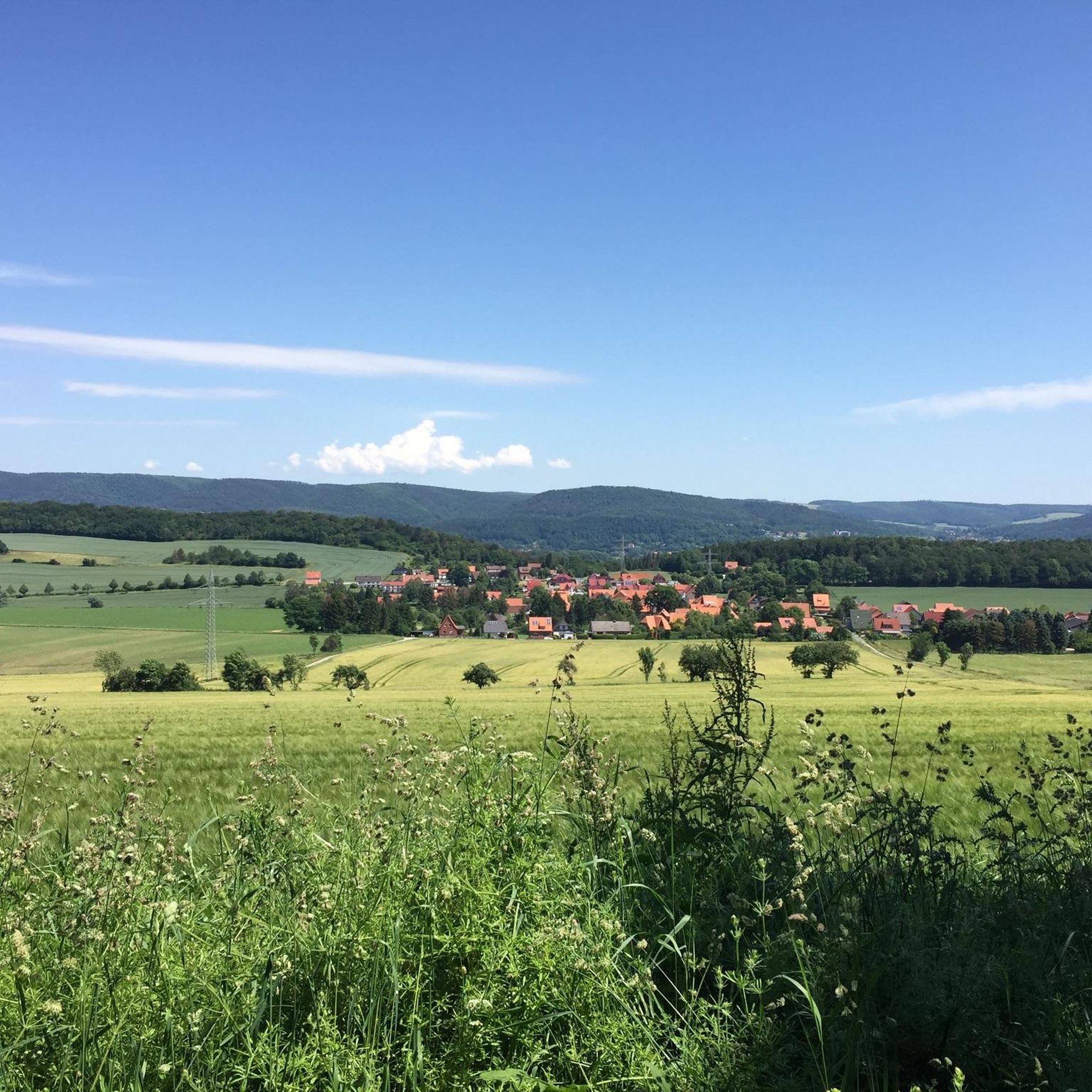
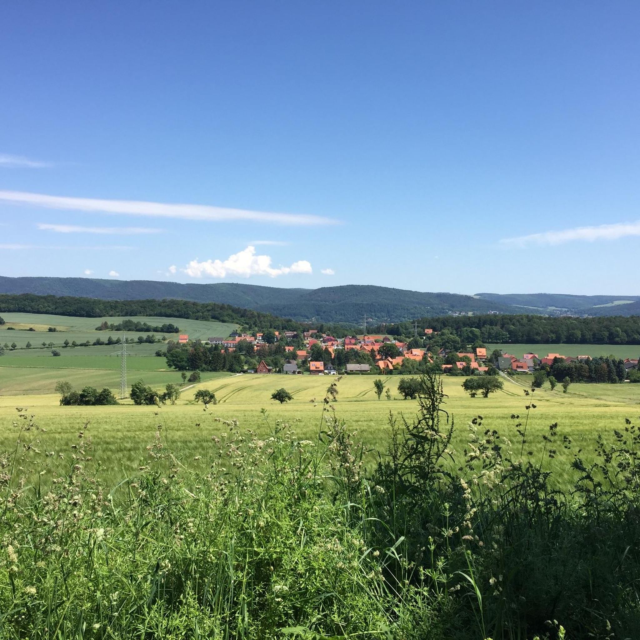
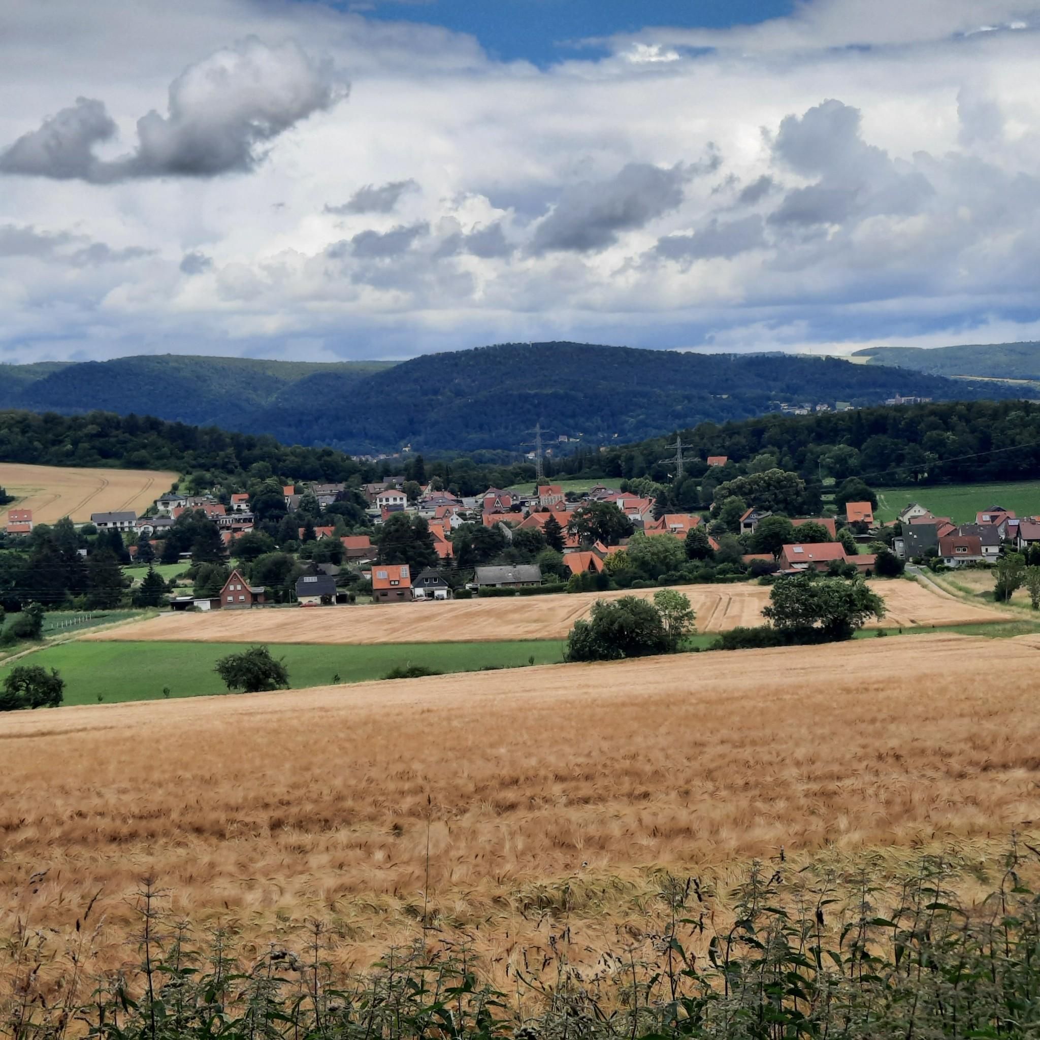
Gravel biking around Reuberg features a diverse landscape characterized by rolling hills, dense woodlands, and river valleys. The region offers a mix of terrain, from well-maintained forest paths to more challenging routes with varied surfaces. Elevations are generally moderate, making it accessible for different skill levels. The area's natural features provide a scenic backdrop for gravel bike trails.
Best gravel bike trails around Reuberg
- The most popular gravel bike trail is View of Grünenplan – Roter Fuchs Pass loop from…
Last updated: July 3, 2026
4
riders
23.1km
01:37
330m
330m
Moderate gravel ride. Good fitness required. Mostly paved surfaces. Suitable for all skill levels.
4.1
(7)
14
riders
Moderate gravel ride. Good fitness required. Mostly paved surfaces. Suitable for all skill levels.

Sign up for free
4.0
(1)
4
riders
29.6km
02:04
510m
510m
Hard gravel ride. Very good fitness required. Mostly paved surfaces. Suitable for all skill levels.
5.0
(1)
3
riders
20.5km
01:22
300m
300m
Moderate gravel ride. Good fitness required. Mostly paved surfaces. Suitable for all skill levels.
4.7
(3)
4
riders
30.0km
02:20
480m
480m
Hard gravel ride. Very good fitness required. Mostly paved surfaces. Suitable for all skill levels.
Get access to more routes and recommendations from other explorers.
Sign up for free
Already have an account?
Our route recommendations are based on thousands of hikes, rides, and runs completed by other people on komoot.
Start today with a free account
Your next adventure awaits.
Login or Signup
Tips from the Community

Attention: Here the bike has to be pushed over a staircase with a steep ramp at both bridgeheads.
0
0

The monument to Johann Georg von Langen is located at a hiking parking lot. From here, the Hilskammweg trail is reached.
7
0
The cross dedicated to Saint Barbara stands at an old sandstone quarry.
6
0
The totem pole is quite an impressive piece. ☺️
6
0

This corner is always beautiful.
1
0

This spot by the carved wooden post is also a nice resting place.
0
0

Very nice there if you don't have a scarf pull
0
0

Unfortunately no catering at the moment
0
0
Frequently Asked Questions
What are the typical distances and durations for gravel bike routes in Reuberg?
Gravel bike routes in Reuberg vary, with many popular options ranging from approximately 14 to 24 miles (23 to 39 km). Depending on the route and your pace, these can take anywhere from 1 hour 58 minutes to over 2 hours 30 minutes to complete. For example, the View of Grünenplan – Roter Fuchs Pass loop from Delligsen is about 14.3 miles (23.1 km) and takes nearly 2 hours.
Are there easy gravel bike routes suitable for beginners in Reuberg?
Yes, Reuberg offers several moderate routes that are suitable for beginners or those looking for a less strenuous ride. The Leine River near Brüggen – Laakedamm Cycle Path loop from Alfeld (Leine) is a moderate 24.1 miles (38.9 km) path that follows the river, offering a mix of scenic riverside views and open paths without excessive elevation.
Where can I find more challenging gravel bike routes in Reuberg?
For more advanced riders seeking a challenge, Reuberg has routes with significant elevation gain and varied terrain. The Viewpoint on the Rennstieg – View from Rennstieg loop from Alfeld (Leine) is a difficult 18.4 miles (29.5 km) trail that features over 500 meters of ascent, often completed in about 2 hours 30 minutes.
Are there family-friendly gravel bike trails in Reuberg?
Many of the moderate routes in Reuberg are suitable for families, especially those with some cycling experience. These trails often feature well-maintained forest paths and riverside sections. Always check the specific route details on komoot for distance, elevation, and terrain to ensure it matches your family's abilities.
What is the best time of year to go gravel biking in Reuberg?
The spring, summer, and early autumn months generally offer the best conditions for gravel biking in Reuberg, with pleasant temperatures and lush scenery. The region's diverse landscape is particularly beautiful during these seasons. Always check local weather forecasts before heading out.
What are the conditions like for gravel biking in Reuberg during winter?
During winter, Reuberg's gravel trails can be affected by snow, ice, or muddy conditions, especially in forested areas or on less-maintained paths. While some routes may still be passable, it's advisable to check local conditions and be prepared for colder weather and potentially slippery surfaces. Always prioritize safety and appropriate gear.
Are there places to stop for refreshments along the gravel bike routes?
While specific cafes directly on every trail are not guaranteed, many routes pass through or near towns and villages where you can find opportunities for refreshments. It's always a good idea to plan your route and check for amenities beforehand, or pack your own snacks and drinks. The Reuber Hut is a notable spot in the region.
What interesting landmarks or natural features can I see along the gravel bike trails?
Reuberg's gravel routes often lead past fascinating natural and historical sites. You might encounter geological formations like Lügenstein or the Warzer Klötze rock formations. Some trails also pass by intriguing caves such as Lippold's Cave or the Dynamite Storage Cave Weser Uplands, offering unique points of interest during your ride.
Are there any good loop trails for gravel biking in Reuberg?
Yes, many of the gravel bike routes in Reuberg are designed as loops, allowing you to start and end at the same point. The Hilskamm Trail Signpost – View of Eimen and Wenzen loop from Kaierde is a moderate 20.5 km (12.7 miles) loop that offers scenic views and varied terrain.
What do other gravel bikers enjoy the most about gravel biking in Reuberg?
The komoot community highly rates gravel biking in Reuberg, with an average score of 4.6 stars from over 15 reviews. Riders often praise the region's diverse landscape, which includes rolling hills, dense woodlands, and river valleys, providing a scenic backdrop for varied terrain. The mix of well-maintained forest paths and more challenging routes is also frequently highlighted.
How many gravel bike trails are available in Reuberg?
There are over 25 gravel bike trails available in Reuberg, catering to a range of skill levels. This includes 2 easy routes, 14 moderate routes, and 9 difficult routes, ensuring there's something for every gravel biker.
Can I reach the Reuberg gravel trails by public transport?
While specific public transport connections to every trailhead can vary, many routes start from towns like Delligsen or Alfeld (Leine), which may have public transport access. It's recommended to check local bus or train schedules for these starting points to plan your journey effectively.
Where can I find parking near the Reuberg gravel bike trails?
Parking availability often depends on the specific trailhead. Routes starting from towns such as Delligsen or Alfeld (Leine) typically offer public parking options. For routes beginning in more rural areas, look for designated parking spots or consider starting from a nearby village. Always check the tour details on komoot for specific parking recommendations for each route.
Are there any hidden gem gravel trails in Reuberg that are less known?
While popular routes are well-loved, exploring the full range of trails on komoot can reveal less-trafficked paths. The Adamishütte Shelter – Leine Bridge in Wettensen loop from Alfeld (Leine), a difficult 30 km (18.7 miles) route, offers a challenging ride through varied terrain that might be a less obvious choice for some, providing a sense of discovery.
Most popular routes around Reuberg
Most popular attractions around Reuberg

Get inspired with the komoot mobile app


Explore more
Browse the best Gravel rides in other regions.
