The best gravel rides around Benther Berg
4.5
(1650)
7,974
riders
234
rides
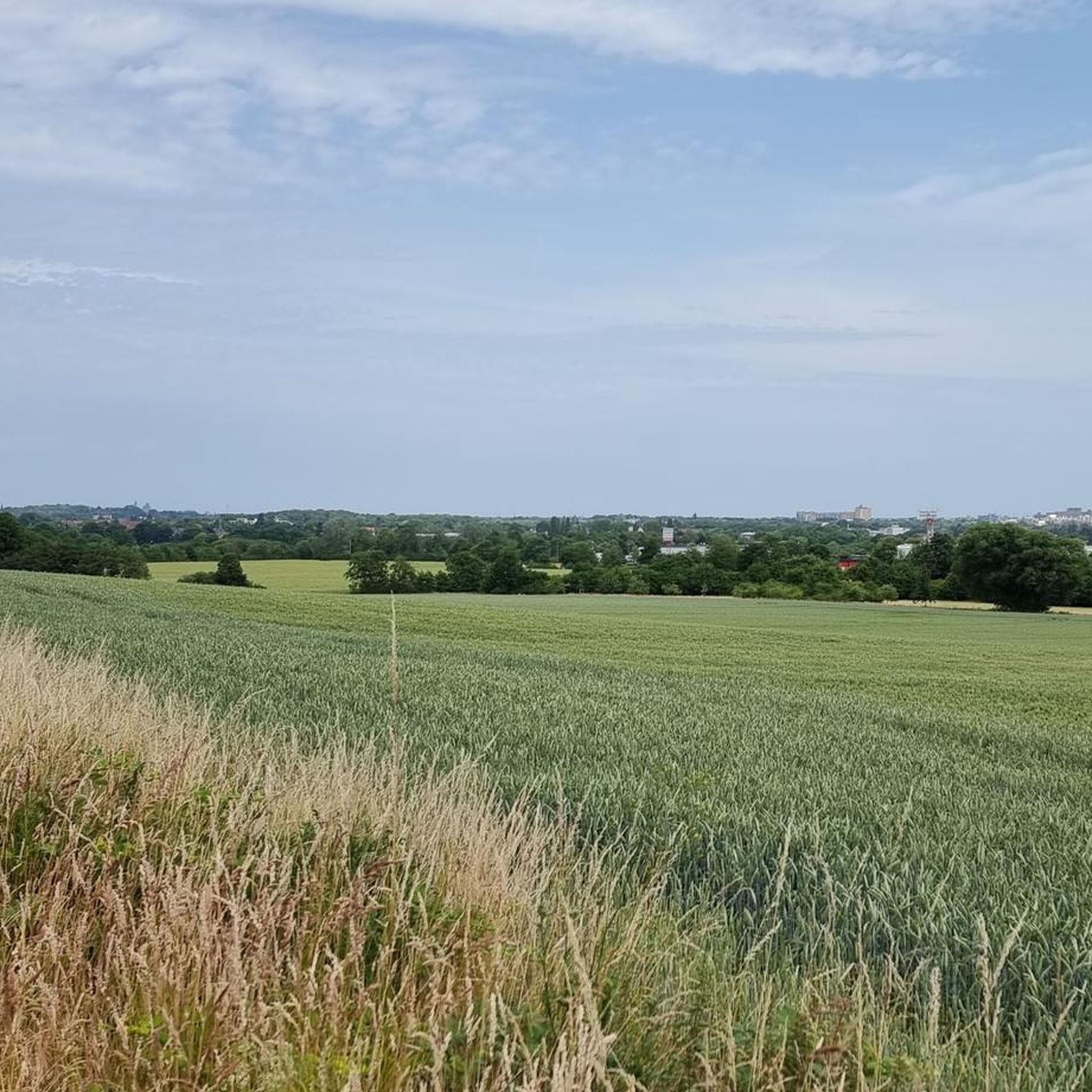
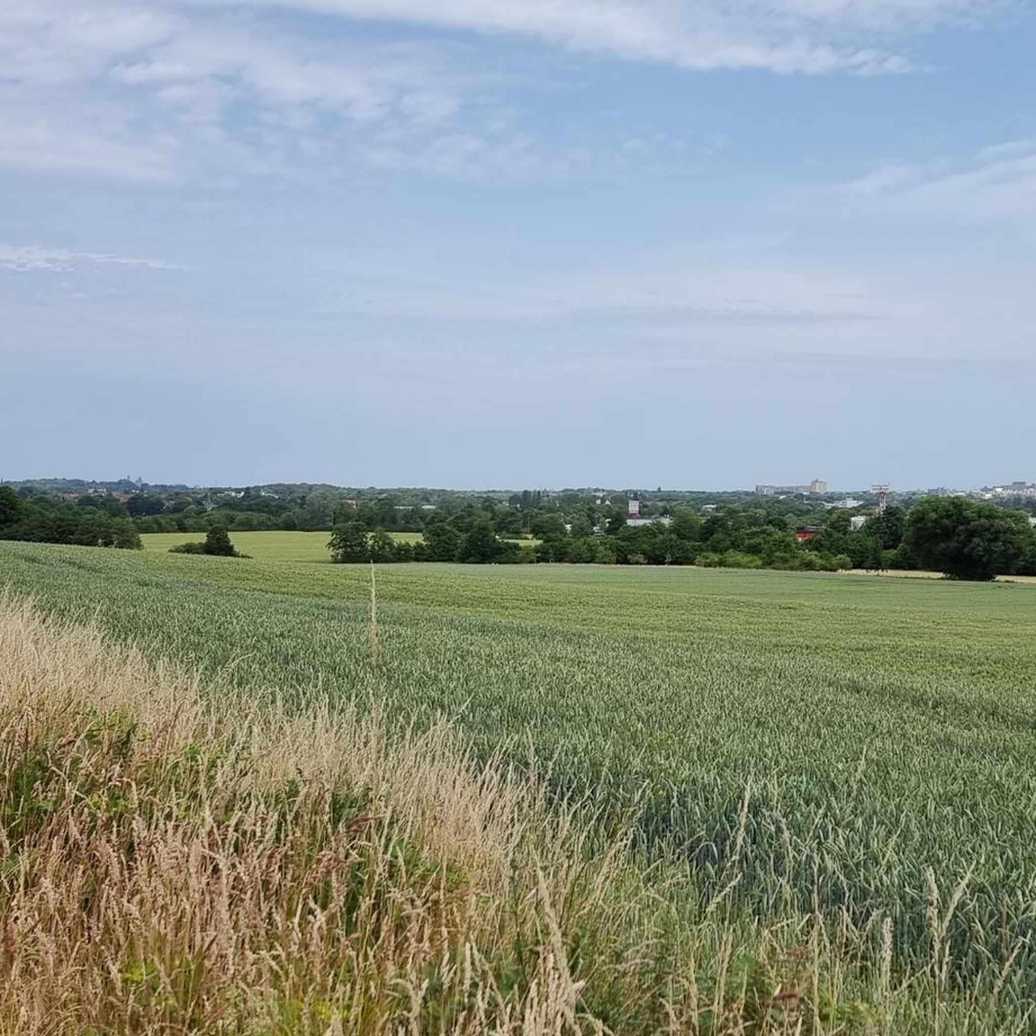
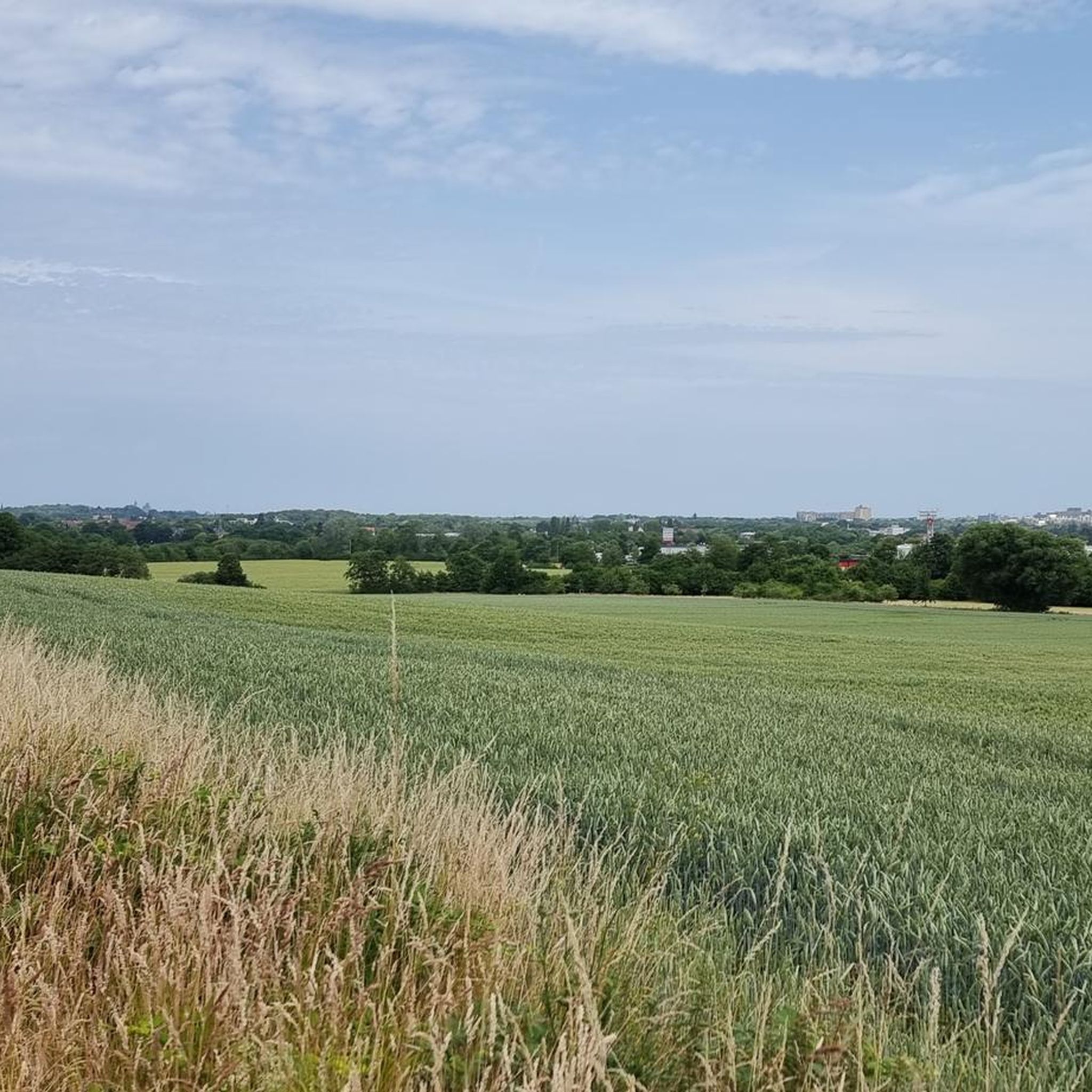
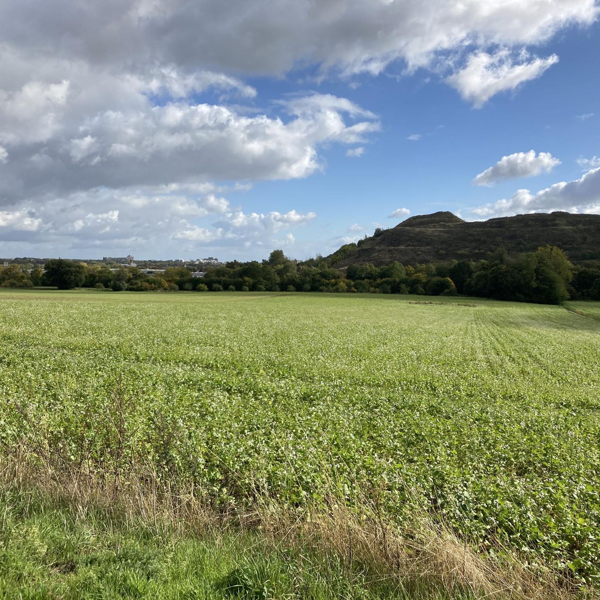
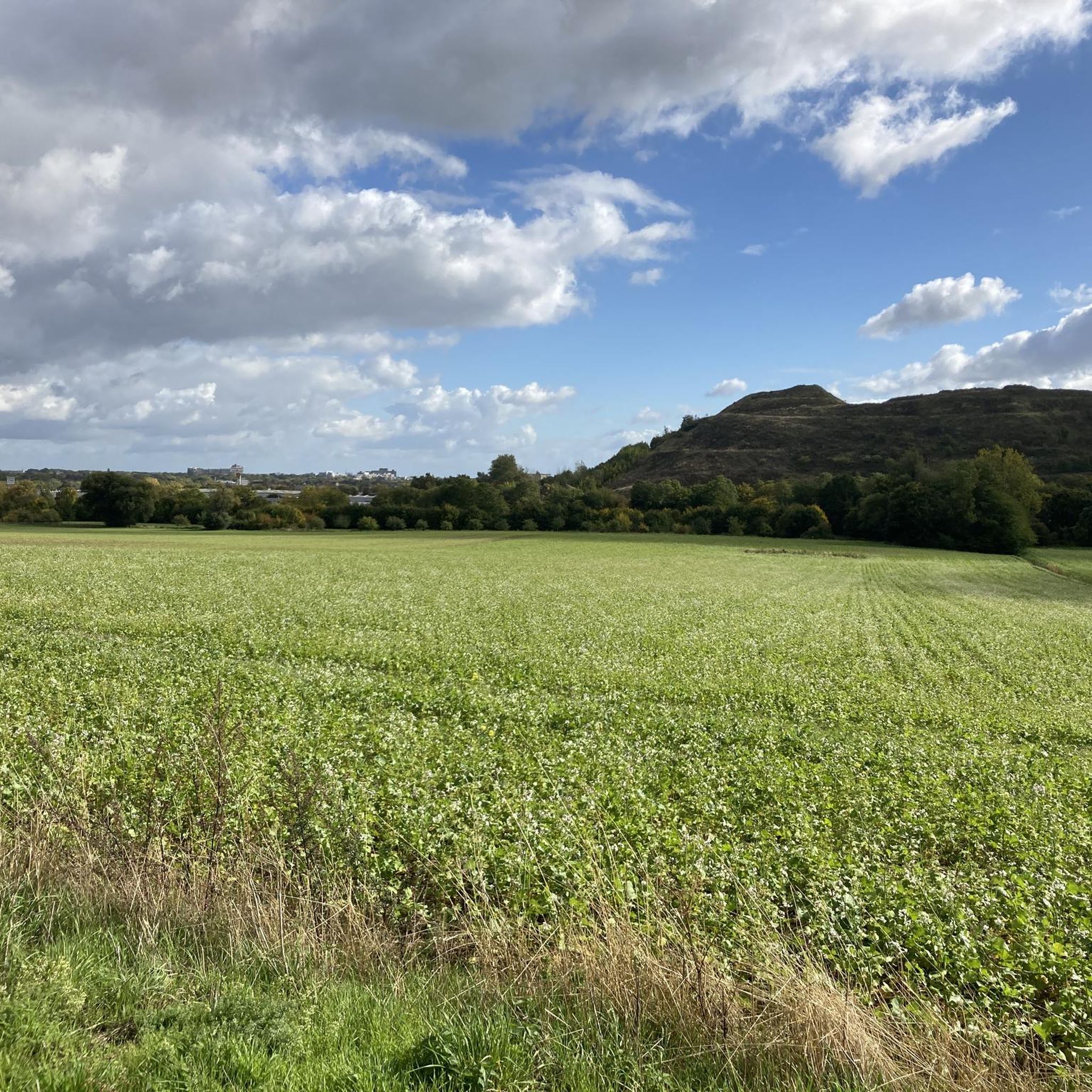
Gravel biking around Benther Berg offers a diverse landscape characterized by a forested ridge, varied trails, and moderate elevation changes. The area features extensive networks of paths through mixed deciduous and spruce forests, providing a scenic backdrop for rides. With its highest point at 173.3 meters, Benther Berg provides engaging terrain and viewpoints overlooking Hanover and the surrounding Calenberger Land. The region's mix of wooded areas, hilly expanses, and open fields creates varied conditions suitable for gravel cycling, including dirt/gravel roads and mixed surfaces.
Best gravel bike trails around Benther Berg
- The most popular gravel bike trail is View of the Deister – Orchard Meadow at Benther Berg loop from Benthe, a 5.4 miles (8.7 km) trail that takes 33 minutes to complete. This easy route offers scenic views from the Benther Berg.
- Another top favourite among local gravel bikers is View of the Deister – Nienstedter Pass loop from Empelde, a difficult 41.6 miles (66.9 km) path. This route features significant elevation changes and a notable descent to Nienstedt.
- Local gravel bikers also love the Nordhafen Rest Area – Mittelland Canal Cycle Path loop from Ronnenberg, a 38.2 miles (61.4 km) trail leading through the Mittelland Canal area, often completed in about 3 hours 9 minutes.
- Gravel biking around Benther Berg is defined by forested ridges, varied single trails, and views of the Hanover skyline. The network offers options for different ability levels, from easy loops to more challenging routes with greater elevation.
- The routes in Benther Berg are highly rated by the komoot community with an average score of 4.5 stars from over 1,400 reviews. More than 7,400 gravel bikers have used komoot to explore Benther Berg's varied terrain.
Last updated: July 2, 2026
5.0
(1)
5
riders
Easy gravel ride. Great for any fitness level. Mostly paved surfaces. Suitable for all skill levels.
5.0
(2)
34
riders
61.6km
03:08
200m
200m
Moderate gravel ride. Good fitness required. Mostly paved surfaces. Suitable for all skill levels.

Sign up for free
8
riders
67.0km
04:05
810m
810m
Hard gravel ride. Very good fitness required. You may need to push your bike for some segments of this route.
4
riders
25.0km
01:28
150m
150m
Moderate gravel ride. Good fitness required. Mostly paved surfaces. Suitable for all skill levels.
4.0
(1)
6
riders
39.9km
02:11
280m
280m
Moderate gravel ride. Good fitness required. Mostly paved surfaces. Suitable for all skill levels.
Get access to more routes and recommendations from other explorers.
Sign up for free
Already have an account?
Our route recommendations are based on thousands of hikes, rides, and runs completed by other people on komoot.
Start today with a free account
Your next adventure awaits.
Login or Signup
Tips from the Community

One should not expect too much from Hannover's harbor. But what these cranes are shipping away is quite a sight.
0
0

The direct path to Schleifbachtal is unfortunately quite overgrown
0
0

The Georgsplatz and Toppiusplatz in the Deister near Wennigsen are historical sites closely associated with mining, hunting, and forestry. The Georgsplatz was created as a meeting point for miners and was supplemented in the 19th century by a royal hunting lodge. Opposite lies the Toppiusplatz, which was formerly used for hunting ceremonies and gatherings, and today still commemorates events and people from that era through monuments. Today, both squares primarily serve as quiet resting and excursion spots in the Deister.
2
0
The Toppius monument commemorates the royal court hunter Toppius, who was killed by a poacher in a scuffle. It was initially located further down by the trout pond and was moved to its current location in 1901. It is a stone about one meter high with the inscription: To the memory of the royal hunter Toppius. On February 28, 1807, mortally wounded in the line of duty at this spot, he died on the 2nd day in Wennigsen. Source: https://de.wikipedia.org/wiki/Georgsplatz_(Wennigsen)
1
0

The summit cross on the Kronsberg marks Hanover's highest point – 118 meters above sea level. It stands on an artificially raised observation hill on the southeastern outskirts of the city, near the Expo site. From here, you can enjoy a sweeping view of the city, the Deister Mountains, and the surrounding countryside.
9
0

Only recommended with gravel bike as there is gravel everywhere along the canal
3
0

This automatic "translation" of highlight names is terrible. If only they would at least translate (often poorly), but no, even the title I gave in German is being changed. I just renamed it correctly, because my "Café Waldwinkel" had been changed to "Wald Wimmel Café" for some completely incomprehensible reason.
1
0

This short piece always reminds me of Mirkwood in "The Hobbit," especially in autumn. Currently, however, it's "occupied" by the beavers.
0
0
Frequently Asked Questions
How many gravel bike trails are available around Benther Berg?
Benther Berg offers a wide selection of gravel biking routes, with over 350 trails recorded on komoot. This includes a diverse range of options for various skill levels and preferences.
What kind of terrain can I expect when gravel biking in Benther Berg?
You'll find a varied landscape perfect for gravel biking. The trails predominantly wind through mixed deciduous and spruce forests, featuring numerous paths and single trails. Beyond the woods, you'll encounter hilly expanses, open fields, and pastures, sometimes referred to as 'Little Tuscany,' providing a diverse and engaging riding experience.
Are there routes suitable for beginners or families in Benther Berg?
Yes, Benther Berg has plenty of options for less experienced riders and families. There are 83 easy routes available. An excellent choice for a gentle ride with scenic views is the Orchard Meadow at Benther Berg – View from Benther Berg loop from Benthe, which is 5.3 miles long and takes about 40 minutes.
What are some challenging gravel bike trails in the Benther Berg area?
For those seeking a challenge, Benther Berg offers several difficult routes with significant elevation changes. One such demanding trail is the Nienstedter Pass – Curvy Descent to Nienstedt loop from Gehrden, a 32.2-mile path featuring notable descents and climbs.
Are there any circular gravel bike routes around Benther Berg?
Yes, many of the gravel bike trails around Benther Berg are designed as loops, allowing you to start and finish at the same point. For example, the Nordhafen Rest Area – Mittelland Canal Cycle Path loop from Ronnenberg is a 37.9-mile circular route that explores the Mittelland Canal area.
What natural features or landmarks can I see along the gravel bike trails?
Benther Berg offers several points of interest. You can visit the Benther Berg Summit for panoramic views of Hanover and the Deister hills. Other notable spots include the Ruins of the Benther Berg Terraces, a former popular excursion restaurant, and the scenic Orchard Meadow at Benther Berg.
What do other gravel bikers enjoy most about riding in Benther Berg?
The komoot community highly rates gravel biking in Benther Berg, with an average score of 4.5 stars from over 1,900 reviews. Riders often praise the diverse terrain, the extensive network of trails through the forests, and the rewarding views from various points, especially towards Hanover and the surrounding Calenberger Land.
What is the best time of year for gravel biking in Benther Berg?
Benther Berg is enjoyable year-round, but the best seasons are generally spring, summer, and autumn. The mixed deciduous forests provide pleasant shade in warmer months and beautiful foliage in autumn. While winter riding is possible, be prepared for potentially muddy or icy conditions on some trails.
Is there public transport access to the Benther Berg gravel trails?
Yes, Benther Berg is accessible by public transport. The 'Grüner Ring' (Green Ring) cycling path, which encircles Hanover, runs along the edge of Benther Berg, providing connections for cyclists arriving via public transport to nearby towns like Benthe or Ronnenberg.
Where can I find parking for gravel biking trails around Benther Berg?
Parking is available at various access points around Benther Berg, particularly in the surrounding towns and villages such as Benthe, Ronnenberg, or Gehrden. Look for designated parking areas near trailheads or local amenities.
Are there any routes that offer views of the Deister hills?
Yes, some routes provide excellent views of the nearby Deister hills. A challenging option that includes these vistas is the View of the Deister – Nienstedter Pass loop from Empelde, a 66.9-kilometer route with significant elevation changes.
Can I find routes that follow canals or waterways in the area?
Absolutely. The region around Benther Berg includes routes that run alongside the Mittelland Canal. An easy option is the Boats on the Mittelland Canal – Mittelland Canal loop from Harenberg, a 25.8-kilometer loop offering pleasant canal-side riding.
Most popular routes around Benther Berg
Most popular attractions around Benther Berg

Get inspired with the komoot mobile app


Explore more
Browse the best Gravel rides in other regions.
