The best gravel rides around Süllberg
4.6
(49)
264
riders
68
rides
Gravel biking around Süllberg offers a diverse landscape characterized by rolling hills, dense woodlands, and open areas. The region features varied terrain, including sections through the Deister Hills and near the Wisentgehege Springe Wildlife Park. These physical features provide a range of surfaces suitable for gravel bike trails, combining river valleys and forested sections. The area's topography includes significant elevation changes, contributing to varied route profiles.
Best gravel bike trails around Süllberg
- The most popular gravel bike trail is Nienstedter…
Last updated: July 3, 2026
5
riders
64.9km
04:22
1,130m
1,130m
Hard gravel ride. Very good fitness required. Mostly paved surfaces. Suitable for all skill levels.
4.5
(2)
7
riders
47.7km
03:03
600m
600m
Hard gravel ride. Very good fitness required. Mostly paved surfaces. Suitable for all skill levels.

Sign up for free
3
riders
Moderate gravel ride. Good fitness required. Mostly paved surfaces. Suitable for all skill levels.
5.0
(1)
7
riders
Moderate gravel ride. Good fitness required. Mostly paved surfaces. Suitable for all skill levels.
5.0
(1)
8
riders
28.2km
01:39
390m
390m
Moderate gravel ride. Good fitness required. Mostly paved surfaces. Suitable for all skill levels.
Get access to more routes and recommendations from other explorers.
Sign up for free
Already have an account?
Our route recommendations are based on thousands of hikes, rides, and runs completed by other people on komoot.
Start today with a free account
Your next adventure awaits.
Login or Signup
Tips from the Community

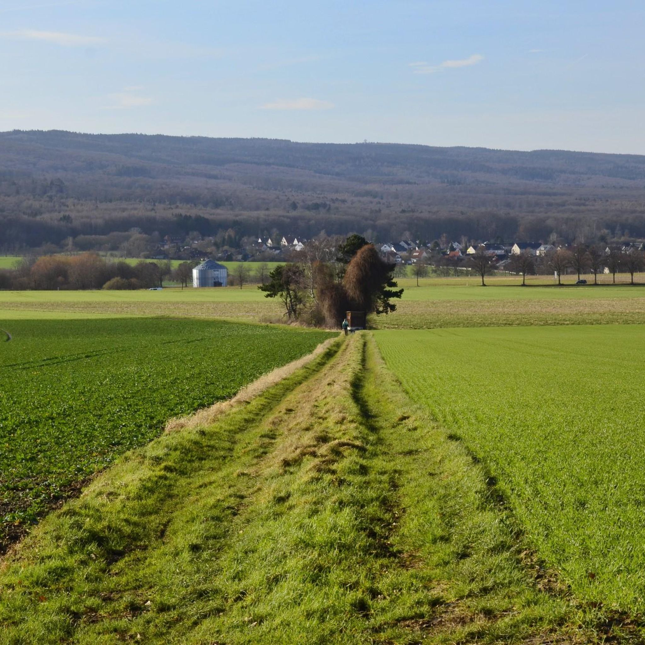
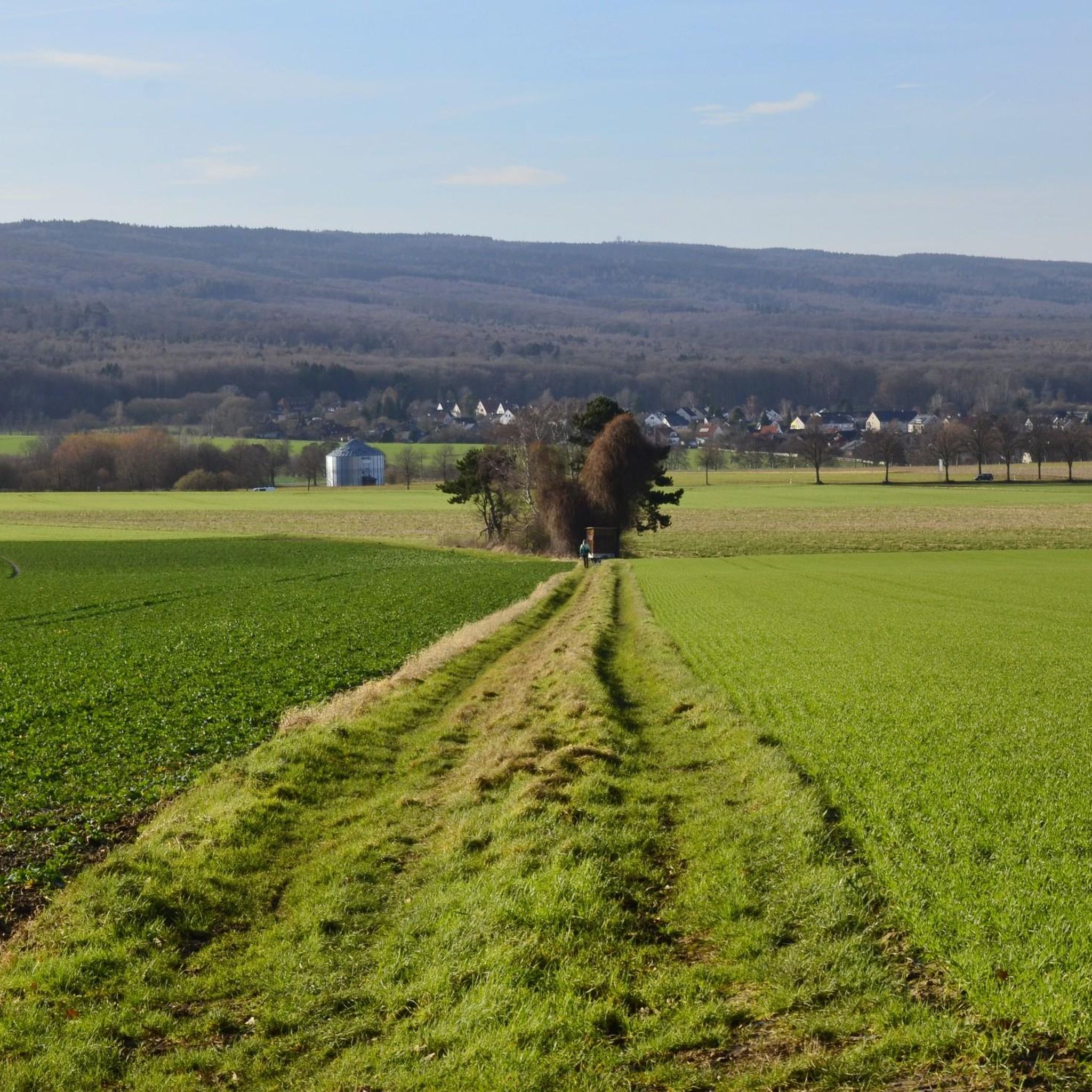
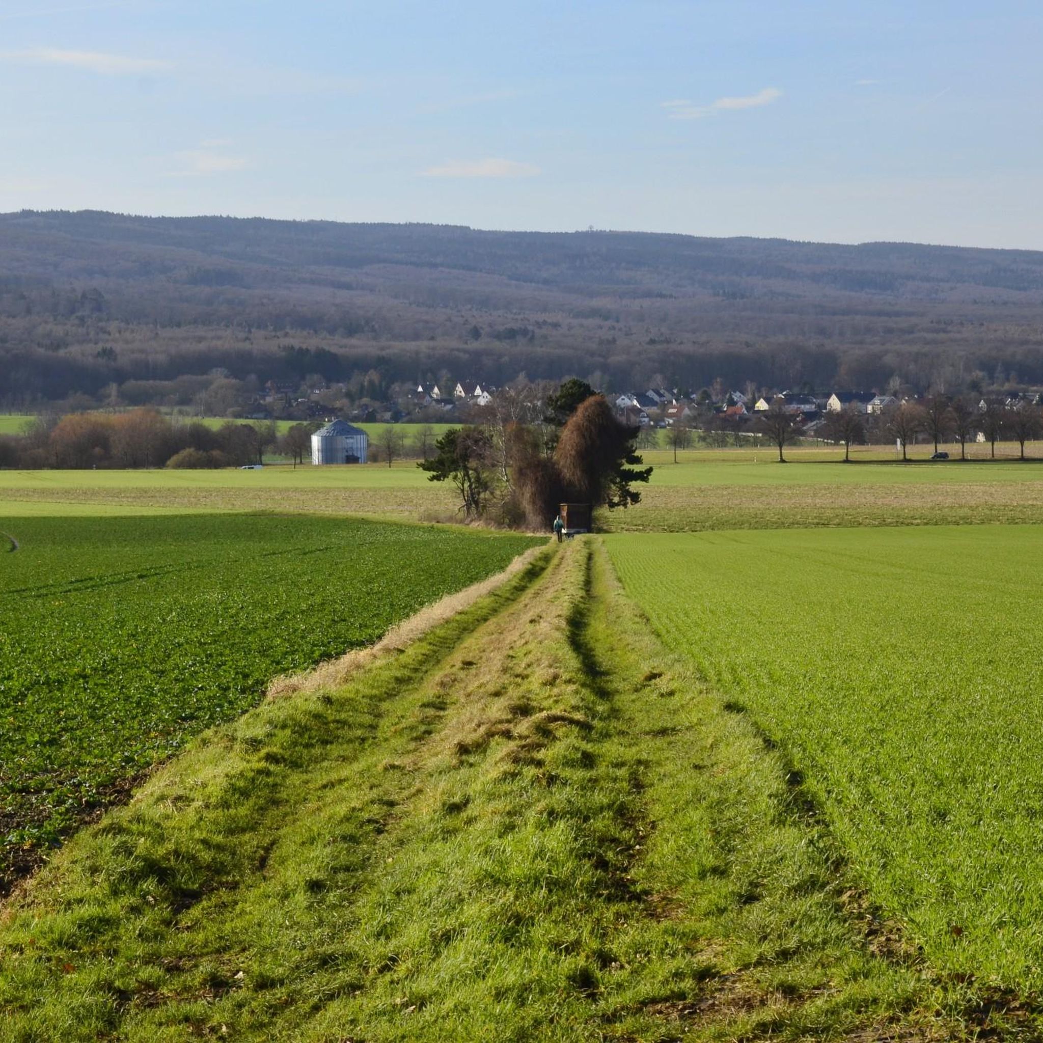
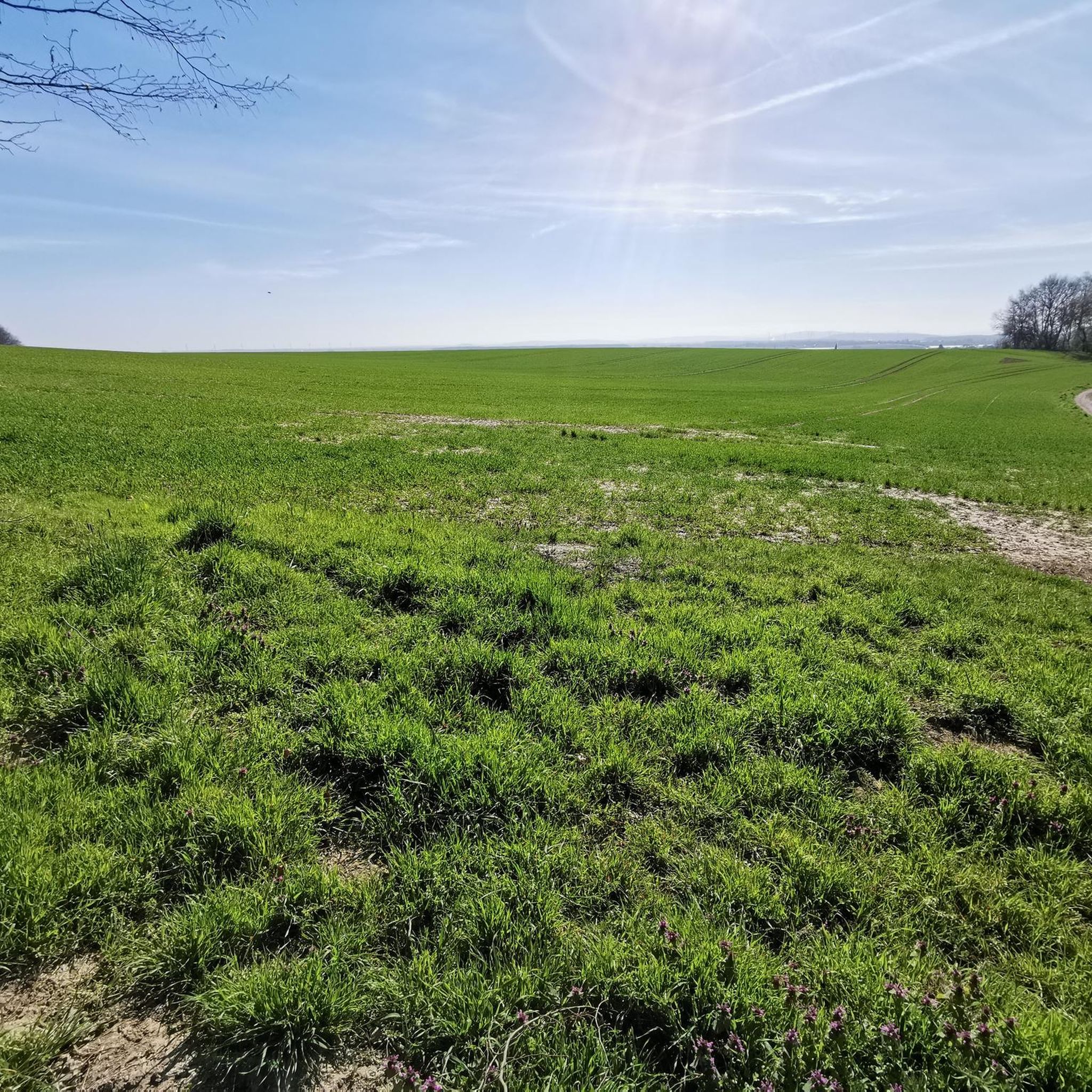
Beautiful view of Springe
0
0

The wooded section is now a proper wide forest path again, the loggers were there in winter.
1
0

Wide path along the edge of the forest with beautiful views.
0
0

Worth it, self-catering possible, many great benches to pause.
0
0

Unfortunately, the wooden viewpoint has been dismantled, so this "highlight" no longer exists (as of March 2026). However, the feeding area for the (wild) deer can still be seen from the path.
1
0

07.08.25 open again!
0
0

Always worth a bike tour
0
0

How could anyone even think of driving through there?
1
0
Frequently Asked Questions
How many gravel bike trails are available in Süllberg?
The Süllberg region offers a wide variety of gravel bike trails, with over 80 routes available on komoot. These range from easy to difficult, catering to different skill levels.
Are there beginner-friendly gravel bike trails in Süllberg?
Yes, Süllberg has several routes suitable for beginners. For a moderate introduction to the local countryside, consider the Tatern Post and Rest Area – Von Knigge Family Cemetery loop from Bennigsen, which is 11.4 miles (18.3 km) long with moderate climbs.
What are some challenging gravel bike routes in Süllberg?
For experienced gravel bikers seeking a challenge, the Nienstedter Pass – Anna Tower on the Bröhn loop from Holtensen/Linderte is a difficult 40.6 miles (65.3 km) trail featuring significant elevation gain through varied terrain.
Are there any circular gravel bike routes in Süllberg?
Many of the gravel bike routes in Süllberg are designed as loops. An excellent option is the View of the River Leine – Koldinger Lakes loop from Bennigsen, which takes you through riverine landscapes and past lakes over 29.8 miles (47.9 km).
What can I see along the gravel bike trails in Süllberg?
The trails often pass by interesting natural and historical sites. You might encounter the Von Bennigsen Oak Memorial, explore the Süllberg Forest, or discover the unique Old Quarry and Exposed Roots. Some routes also offer views of the Deister Hills.
What is the best time of year to go gravel biking in Süllberg?
The Süllberg region is enjoyable for gravel biking throughout much of the year. Spring and autumn offer pleasant temperatures and vibrant scenery. While winter biking is possible, be prepared for potentially muddy or icy conditions, especially in forested areas.
What are the typical trail conditions for gravel biking around Süllberg?
The terrain around Süllberg is diverse, featuring rolling hills, dense woodlands, and open areas near the Leine River and Koldinger Lakes. You can expect a mix of surfaces, including gravel paths, forest tracks, and some paved sections. Conditions can vary with weather, so be prepared for potential mud after rain.
Are there any routes that pass through the Wisentgehege Springe Wildlife Park area?
Yes, some routes explore the vicinity of the wildlife park. The Wisentgehege Springe Wildlife Park – Panoramic View of Völksen loop from Holtensen/Linderte is a moderate 36.1 km trail that takes you through this scenic area.
What do other gravel bikers enjoy most about Süllberg?
The Süllberg region is highly rated by the komoot community, with an average score of 4.8 stars from over 40 reviews. Riders frequently praise the diverse landscape, which combines rolling hills, river valleys, and forested sections, offering a varied and engaging gravel biking experience.
Are there any cafes or places to rest near the gravel trails?
While specific cafes directly on every trail are not guaranteed, the routes often pass through or near villages like Bennigsen and Holtensen/Linderte, where you can find options for refreshments and rest. The 'Tatern Post and Rest Area' is also mentioned as a point of interest on some routes.
Where can I find parking for gravel biking in Süllberg?
Many routes start from towns and villages like Bennigsen or Holtensen/Linderte, which typically offer public parking facilities. It's advisable to check specific starting points for available parking options before your ride.
Can I reach the gravel trails in Süllberg using public transport?
The Süllberg region is accessible by public transport, particularly to the larger towns and villages that serve as common starting points for routes. Check local bus and train schedules for connections to places like Bennigsen or Holtensen/Linderte to plan your journey.
Most popular routes around Süllberg
Most popular attractions around Süllberg

Get inspired with the komoot mobile app


Explore more
Browse the best Gravel rides in other regions.
