The best gravel rides around Hohenstein
4.5
(66)
388
riders
41
rides
Gravel biking around Hohenstein navigates a varied landscape characterized by river valleys, wooded sections, and open pathways. The region offers a mix of terrain suitable for gravel cycling, from former railway lines to paths alongside lakes and ponds. Elevation changes are present, providing both flatter sections and moderate climbs. The topography includes rolling hills and extensive forests, offering scenic routes and natural challenges.
Best gravel bike trails around Hohenstein
- The most popular gravel bike trail is Rheinischer Esel sculpture –…
Last updated: July 2, 2026
5.0
(3)
5
riders
17.3km
01:05
210m
210m
Moderate gravel ride. Good fitness required. Mostly paved surfaces. Suitable for all skill levels.
4.3
(3)
15
riders
Moderate gravel ride. Good fitness required. Mostly paved surfaces. Suitable for all skill levels.

Sign up for free
5.0
(2)
17
riders
95.8km
07:18
1,040m
1,120m
Hard gravel ride. Very good fitness required. You may need to push your bike for some segments of this route.
5.0
(3)
26
riders
Hard gravel ride. Very good fitness required. Mostly paved surfaces. Suitable for all skill levels.
4.5
(2)
18
riders
Moderate gravel ride. Good fitness required. Mostly paved surfaces. Suitable for all skill levels.
Get access to more routes and recommendations from other explorers.
Sign up for free
Already have an account?
Our route recommendations are based on thousands of hikes, rides, and runs completed by other people on komoot.
Start today with a free account
Your next adventure awaits.
Login or Signup
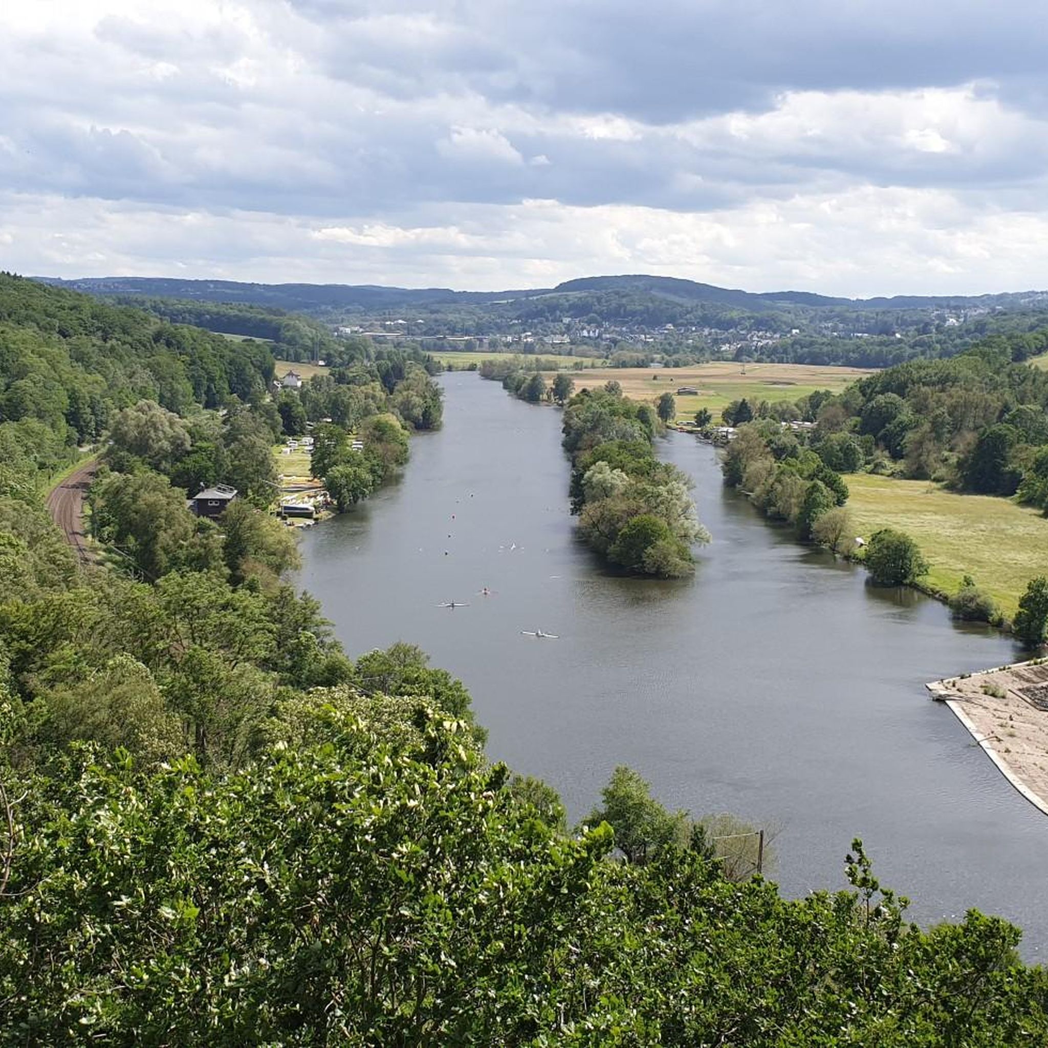
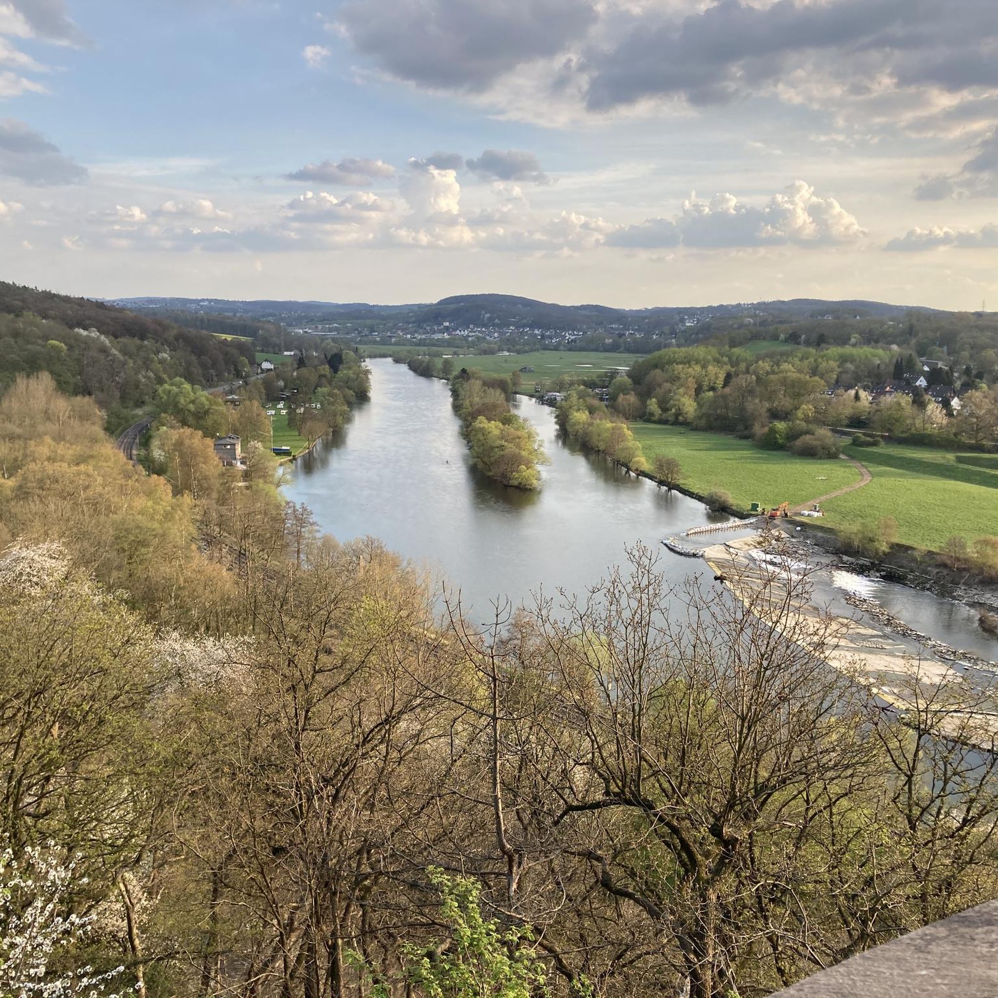
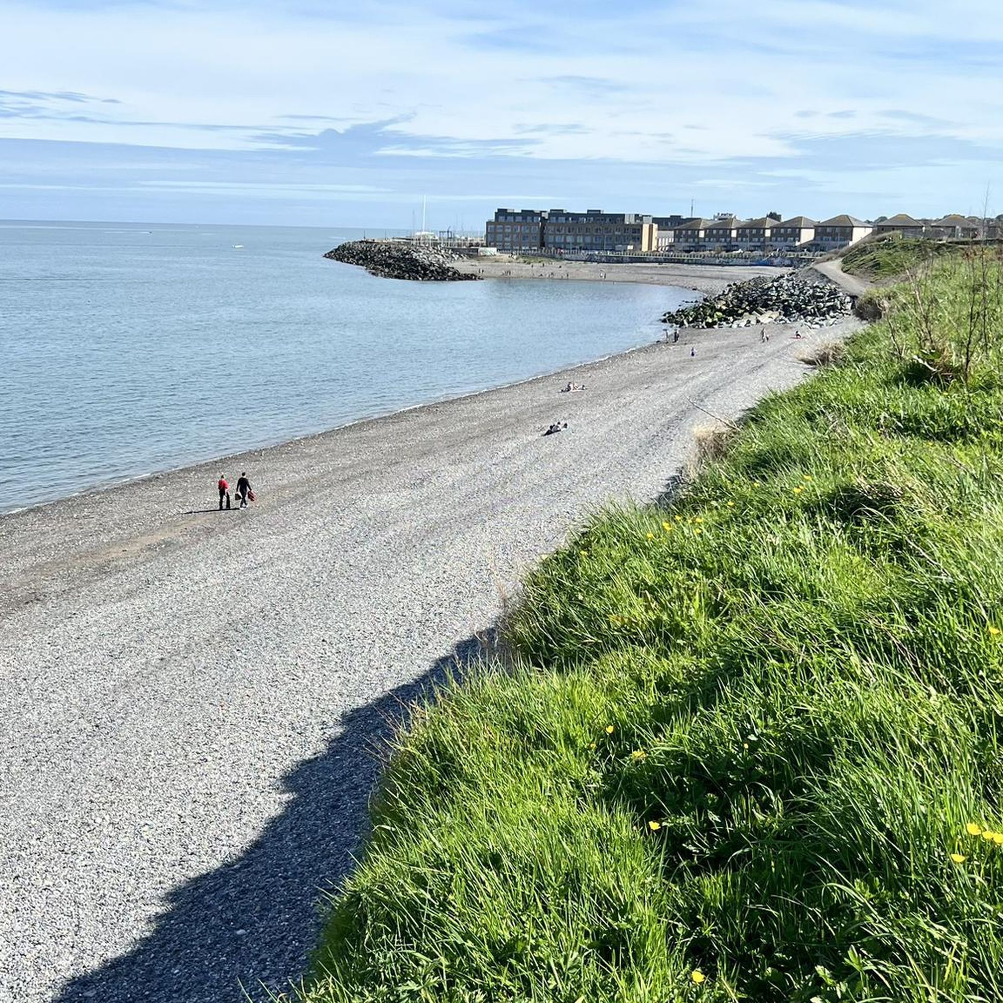
Other adventures around Hohenstein

Tips from the Community

Very nice corner to enjoy nature in peace.
0
0

The Hammerteich pond is a beautiful spot for a picnic any time of year. There's a lovely playground for children, and you can watch herons, cormorants, and ducks. Currently, it's an interesting place because the city of Witten is removing the pond's heavy siltation. First, all the fish were removed and relocated to other bodies of water. Now, the pond is being pumped out.
0
0

Here you can see model boat builders in the summer.
0
0


if you are going upwards you can get a bit tired but if Ur going downhill you can just release the bike and it goes itself
0
0

The Hammerteich was created in 1722 by damming the Borbach (then Borbecke) stream. Today, it is a popular recreational area in Witten.
5
0

From this bench you have an honest view.
0
0

Frequently Asked Questions
What kind of terrain can I expect on gravel bike trails around Hohenstein?
The Hohenstein region offers a diverse landscape for gravel biking. You'll encounter river valleys, dense wooded sections, and open pathways. Many routes utilize former railway lines, providing smoother sections, while others follow paths alongside lakes and ponds. Expect a mix of terrain with moderate climbs and flatter stretches, characteristic of the Franconian Jura and Franconian Switzerland Nature Park.
How many gravel bike routes are available in Hohenstein?
There are over 80 gravel bike routes available around Hohenstein on komoot. This includes 8 easy routes, nearly 50 moderate routes, and 30 difficult options, ensuring there's something for every skill level.
Are there any family-friendly gravel bike trails in Hohenstein?
Yes, Hohenstein offers several routes suitable for families. For a moderate option, consider the Rheinischer Esel sculpture – Hammer Pond loop from Witten Hbf. This 17.2-mile (27.7 km) route features manageable elevation changes and passes by the scenic Hammer Pond, which is also a highlight in the area.
What are some notable landmarks or points of interest along the gravel routes?
Many routes pass by interesting landmarks and natural features. You can explore the Hammer Pond at Hohenstein, visit the Hohenstein Wild Boar Enclosure, or see the Berger Monument and View of the Ruhr Valley. The region is also known for its varied limestone landscape and river valleys.
Are there any longer, more challenging gravel bike routes for experienced riders?
Absolutely. For a more challenging ride, the Ölbach Pathway – Viewpoint at Lake Kemnade loop from Witten Hbf is a difficult 32.6-mile (52.5 km) trail that takes you through varied terrain with significant elevation changes. Another demanding option is the Coal Railway Trail – Ruhr Viaduct at Harkort Lake loop from Witten Hbf, which is 41.2 miles (66.3 km) long and follows a former railway line.
What do other gravel bikers say about the routes in Hohenstein?
The gravel biking routes in Hohenstein are highly regarded by the komoot community, holding an average rating of 4.5 stars from over 250 reviews. Riders frequently praise the varied terrain, scenic views, and the well-maintained paths, especially those along former railway lines and lakes.
Are there any circular gravel bike routes in the area?
Yes, many of the gravel bike routes in Hohenstein are designed as loops, allowing you to start and end at the same point. For example, the popular Hammer Pond – View of Appelsiepen loop from Witten Hbf is a 16.9-mile (27.2 km) circular trail offering scenic views.
Can I find routes that offer views of lakes or rivers?
Yes, the Hohenstein area is characterized by its river valleys and pathways along lakes and ponds. Routes like the Coal Railway Trail – Ruhr Viaduct at Harkort Lake loop from Witten Hbf offer views of the Ruhr Viaduct and Harkort Lake, while the Ölbach Pathway – Viewpoint at Lake Kemnade loop from Witten Hbf provides vistas of Lake Kemnade.
Are there any routes that follow old railway lines?
Yes, the region features gravel routes that utilize former railway lines, which often provide smoother and more consistent surfaces. The Coal Railway Trail – Ruhr Viaduct at Harkort Lake loop from Witten Hbf is a prime example, following an old railway line for a significant portion.
What is the best time of year for gravel biking in Hohenstein?
Given the varied terrain of hills, woods, and river valleys, spring, summer, and autumn generally offer the best conditions for gravel biking in Hohenstein. These seasons provide pleasant temperatures and vibrant natural scenery. While winter biking is possible, be prepared for potentially muddy or icy conditions, especially in wooded areas and higher elevations.
Are there any routes that are particularly good for spotting wildlife?
The wooded sections and nature reserves around Hohenstein, including areas near the Hohenstein Wild Boar Enclosure and the Wildlife Enclosure at Hohenstein, offer opportunities to observe local fauna. Routes passing through these areas, particularly during quieter times of day, increase your chances of wildlife sightings.
Can I find routes with less elevation gain for an easier ride?
Yes, Hohenstein offers routes with more moderate elevation profiles. For a relatively flatter experience, look for routes that primarily follow former railway lines or stick to the river valleys. The Harkortsee Railway Viaduct – Ruhr Viaduct at Harkort Lake loop from Ruhraue Witten-Gedern is a moderate 30.0-mile (48.3 km) route with less significant climbing.
Most popular routes around Hohenstein
Most popular attractions around Hohenstein

Get inspired with the komoot mobile app


Explore more
Browse the best Gravel rides in other regions.
