The best gravel rides around Lohrer Wald
4.6
(26)
114
riders
30
rides
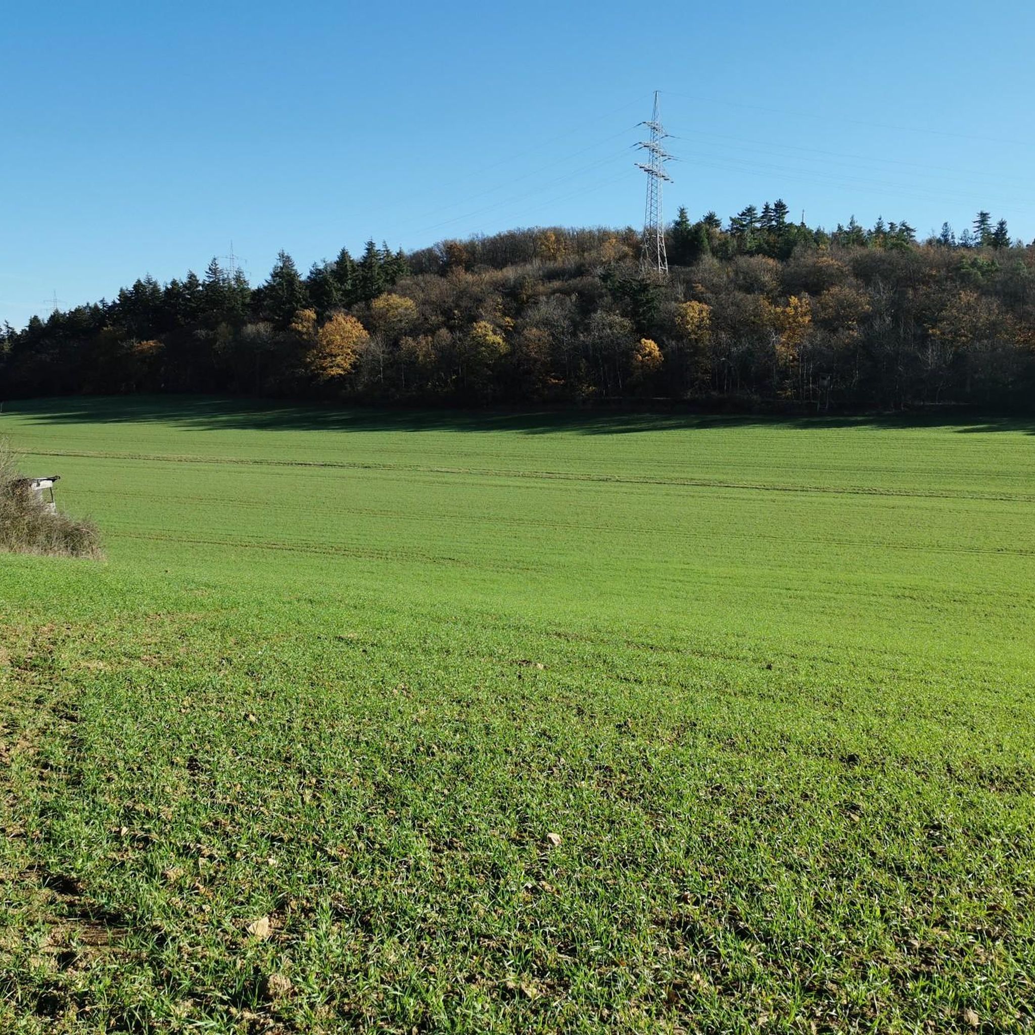
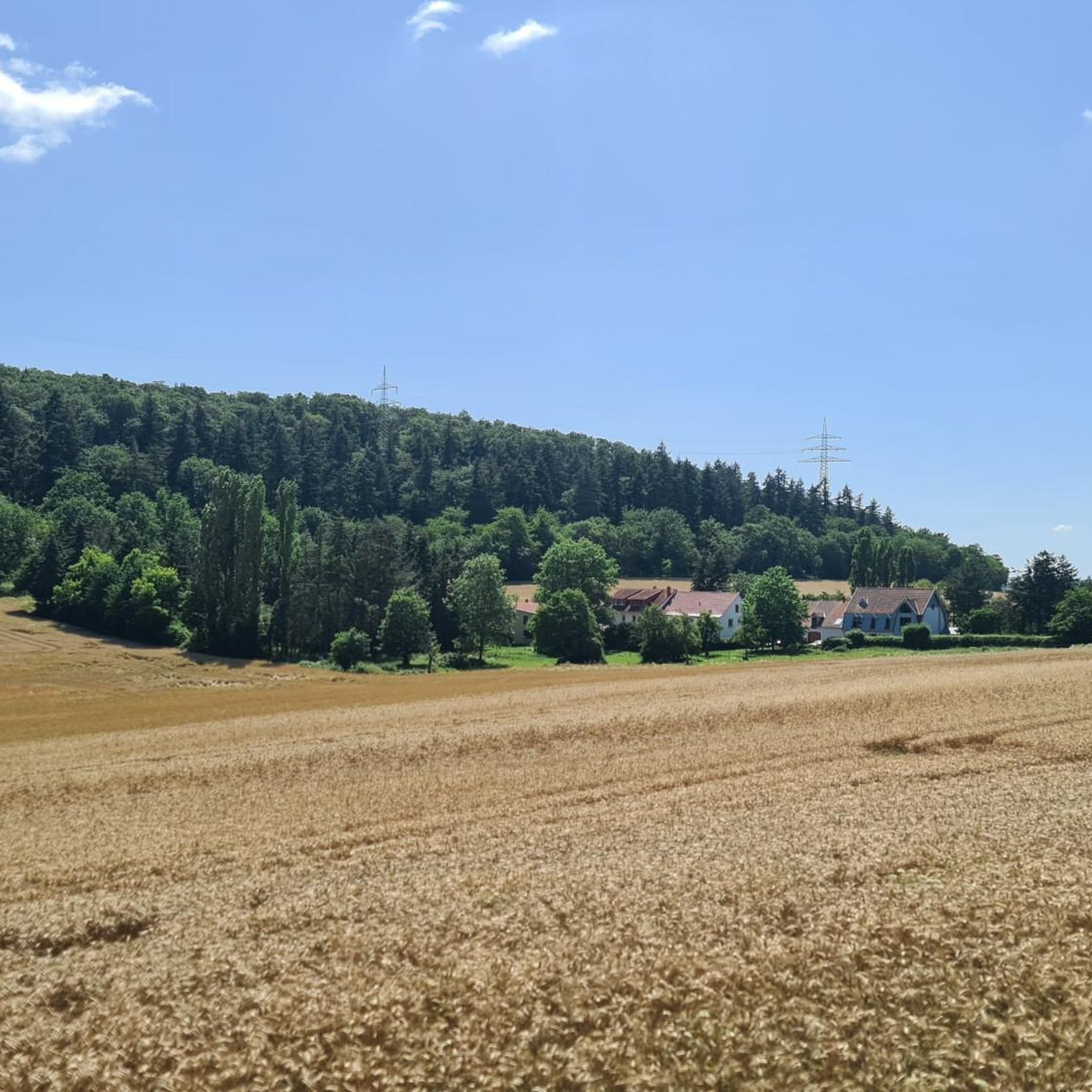
Gravel biking around Lohrer Wald is characterized by a diverse landscape featuring river valleys, extensive vineyards, and forested hills. The region offers a mix of terrain, from riverside paths along the Nahe to ascents through wooded areas and open agricultural land. These conditions provide varied surfaces suitable for gravel bikes, including compacted dirt, gravel roads, and some paved sections. The area's topography includes rolling hills and elevated viewpoints, offering both challenging climbs and scenic stretches.
Best gravel bike trails around Lohrer Wald
- The most popular gravel bike trail is Oak Avenue – Kneipp basin in Bockenau loop from Rüdesheim (Nahe), a 20.8 miles (33.4 km) trail that takes 2 hours 49 minutes to complete. This difficult route features varied terrain through forests and open landscapes.
- Another top favourite among local gravel bikers is Vineyards, Nahe valley and the Rotenfels around Bad Kreuznach, a difficult 42.6 miles (68.6 km) path. This route offers expansive views of vineyards and the Nahe river.
- Local gravel bikers also love the Wilhelmsbrücke with Towers – View of Sponheim Abbey loop from Bad Kreuznach, a 20.9 miles (33.7 km) trail leading through river valleys and past historic sites, often completed in about 2 hours 20 minutes.
- Gravel biking around Lohrer Wald is defined by river valleys, vineyards, and forested hills. The network offers options for different ability levels, from moderate paths to more challenging routes.
- The routes in Lohrer Wald are highly rated by the komoot community with an average score of 4.6 stars from over 30 reviews. More than 200 gravel bikers have used komoot to explore Lohrer Wald's varied terrain.
Last updated: July 3, 2026
4.0
(1)
7
riders
33.1km
02:16
530m
530m
Hard gravel ride. Very good fitness required. Mostly paved surfaces. Suitable for all skill levels.
4.3
(3)
24
riders
68.6km
04:59
670m
670m
Hard gravel ride. Very good fitness required. Some segments of this route may be unpaved and difficult to ride.

Sign up for free
5.0
(3)
21
riders
Hard gravel ride. Very good fitness required. Mostly paved surfaces. Suitable for all skill levels.
5.0
(2)
10
riders
Hard gravel ride. Very good fitness required. Mostly paved surfaces. Suitable for all skill levels.
4
riders
Hard gravel ride. Very good fitness required. Mostly paved surfaces. Suitable for all skill levels.
Get access to more routes and recommendations from other explorers.
Sign up for free
Already have an account?
Our route recommendations are based on thousands of hikes, rides, and runs completed by other people on komoot.
Start today with a free account
Your next adventure awaits.
Login or Signup

Tips from the Community

The water wheel between the Kurmittelhaus in Bad Münster am Stein and the Nahe had to be decommissioned due to dilapidation. The water wheel at the old brine reservoir was built in 1993 by a Bad Kreuznach carpentry company from larch wood. It has a diameter of nine meters. Metal bands and steel bolts hold the wooden elements together.
2
0

Very nice cycle path 🚴♂️
0
0

In addition to the beautiful view, you can also enjoy a delicious ice cream from the ice cream parlor on the corner.
2
0

View of the Nahe River from the direction of the bridge houses (landmark of KH). There are now restaurants and cafes on the bridge again, inviting visitors to linger and enjoy themselves (as of January 26th).
0
0
A relatively modern-looking large crucifix on the Nahe bridge.
1
0

Rotenfels: Alpine feeling on the bike path! Watch out, a giant is in sight! Shortly after Bad Münster am Stein-Ebernburg, you pass the Rotenfels massif, the highest cliff face in Germany north of the Alps. We're talking about over 200 meters of pure rock, rising vertically above the Nahe River. This isn't a hill anymore; it's a geological shocker! The entire mass consists of reddish porphyry rock, which glows fiery red, especially in the evening (or in good light). Truly spectacular. From the bike path, you can see the full force of it. You suddenly feel very small, which can be quite relaxing after 50 kilometers in the saddle. Fun fact: Up on the Rotenfels is a climbing area – only for pros! I prefer to stay on my 25mm tire asphalt and enjoy the view from below. No need to climb too high; the panorama from here is already unbeatable! My tip: Stop and enjoy the moment. Take a photo with this rock colossus as proof.
1
0
👑 Rheingrafenstein Castle Ruins – The Rock Boss on the Cycle Path Tip: Stop here! The Rheingrafenstein ruins sit dramatically perched on a 136-meter-high porphyry cliff above the Nahe River – one of the most impressive sights of the entire tour. The castle was the ancestral seat of the famous Wildgraves and Rhinegraves (until it was blown up in 1689). The view from the cycle path is phenomenal! If you really want to go up (and have enough energy), you can take the small hand-pulled ferry across and take the steep hiking trail to the ruins. It's worth it for the view over the Nahe Valley, but honestly: My legs were already tired enough from cycling. The panoramic view from below is worth its weight in gold! A must-have for your photo collection!
1
0

Rheingrafenstein Castle sits enthroned on a steep porphyry cliff (245 meters high) directly above the Nahe River near Bad Münster am Stein-Ebernburg. Legend has it that the devil himself built the castle—a reference to its dramatic location and mystical aura. In fact, it likely dates back to the 11th century and was the ancestral seat of the Lords of Stein, later the Wildgraves and Rhinegraves. In 1689, it was blown up by French troops under Louis XIV, and since then it has been a ruin—but an extremely impressive one.
3
0
Frequently Asked Questions
What kind of terrain can I expect on gravel bike trails in Lohrer Wald?
Gravel biking in Lohrer Wald offers a diverse landscape, characterized by river valleys, extensive vineyards, and forested hills. You'll encounter a mix of compacted dirt, gravel roads, and some paved sections, with rolling hills and elevated viewpoints providing both challenging climbs and scenic stretches.
Are there easy or beginner-friendly gravel bike routes in Lohrer Wald?
Yes, Lohrer Wald offers routes suitable for beginners. While many routes are moderate to difficult, there are at least 2 easy routes available. For a moderate option that's not overly strenuous, consider the Wilhelmsbrücke with Towers – View of Sponheim Abbey loop from Bad Kreuznach, which is about 20.9 miles (33.7 km) long.
Are there longer gravel bike routes, for example, around 50km, in Lohrer Wald?
Absolutely. Many routes in Lohrer Wald exceed 50km. For example, the Vineyards, Nahe valley and the Rotenfels around Bad Kreuznach route is a challenging 42.6 miles (68.6 km) path, offering expansive views of vineyards and the Nahe river.
What is the best time of year for gravel biking in Lohrer Wald?
The region is generally pleasant for gravel biking from spring through autumn. Spring brings blooming vineyards and forests, while autumn offers vibrant foliage. Summer is also suitable, though it's advisable to start earlier in the day to avoid the midday heat, especially on exposed vineyard sections.
Are there circular gravel bike routes available in Lohrer Wald?
Yes, many of the gravel bike routes in Lohrer Wald are designed as loops, allowing you to start and end at the same point. Examples include the Oak Avenue – Kneipp basin in Bockenau loop from Rüdesheim (Nahe) and the Nahe River at Rheingrafenstein – View of Rheingrafenstein Castle loop from Bad Kreuznach.
What do other gravel bikers enjoy most about the trails in Lohrer Wald?
The komoot community highly rates the routes in Lohrer Wald, with an average score of 4.6 stars from over 30 reviews. Riders often praise the varied terrain, which includes scenic river valleys, picturesque vineyards, and tranquil forested hills, as well as the well-maintained gravel paths.
Are there any routes that offer particularly good viewpoints?
Many routes in Lohrer Wald feature elevated sections that provide excellent views. The Vineyards, Nahe valley and the Rotenfels around Bad Kreuznach route, for instance, is known for its expansive views over the vineyards and the Nahe river valley, including the impressive Rotenfels cliff.
Can I find gravel bike trails in Lohrer Wald that are suitable for families?
While many routes are rated moderate to difficult, families with older children or those comfortable with some elevation gain can find suitable options. Look for routes with less steep climbs and well-compacted surfaces. The region's riverside paths often offer flatter sections that might be more family-friendly.
Are there options for parking near the gravel bike trailheads in Lohrer Wald?
Yes, many trailheads and starting points in towns like Bad Kreuznach or Rüdesheim (Nahe) offer parking facilities. It's generally advisable to check local parking options for your specific starting point before you head out.
Are there any gravel bike routes that pass by cafes or places to stop for refreshments?
Given the region's popularity and its charming towns and villages, many routes will naturally pass through or near places where you can find cafes, restaurants, or local wineries for a break. Planning your route through towns like Bad Kreuznach or Rüdesheim (Nahe) will increase your chances of finding refreshment stops.
Can I access gravel bike trailheads in Lohrer Wald using public transport?
Yes, towns like Bad Kreuznach and Rüdesheim (Nahe), which serve as common starting points for many routes, are accessible by public transport, particularly train services. From these towns, you can often reach trailheads directly or with a short ride.
Are there any challenging or advanced gravel bike routes in Lohrer Wald?
Lohrer Wald offers a good selection of challenging routes for experienced gravel bikers. Over 30 routes are rated as difficult, featuring significant elevation gains and longer distances. The View of Rheingrafenstein Castle – Nahe River at Rheingrafenstein loop from Bad Kreuznach is one such difficult route, covering over 51 km with substantial climbing.
Most popular routes around Lohrer Wald

Get inspired with the komoot mobile app


Explore more
Browse the best Gravel rides in other regions.
