The best gravel rides around Aubinger Lohe
4.5
(250)
1,117
riders
121
rides
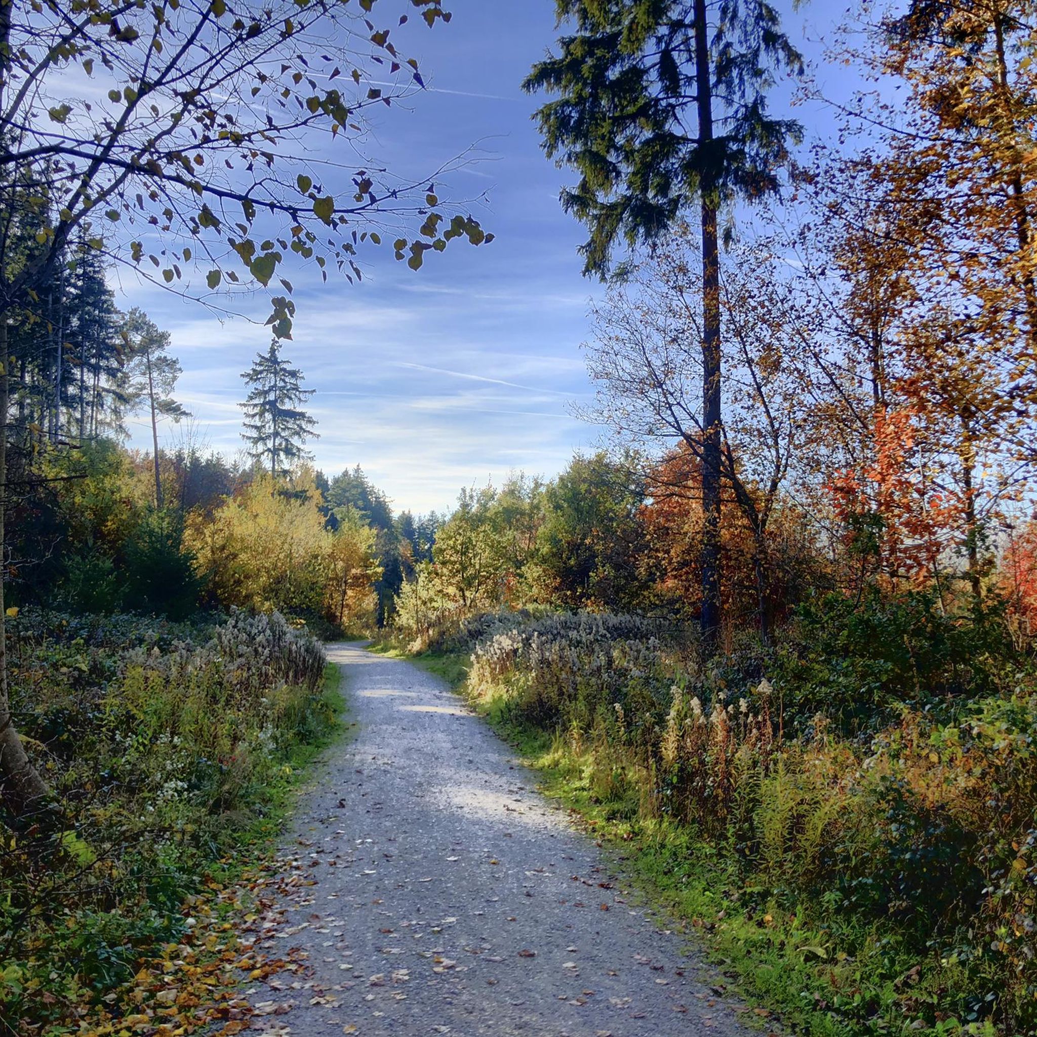
Gravel biking around Aubinger Lohe offers a diverse landscape of reforested woodlands, open meadows, and gentle elevations. This area is recognized as part of the Munich Green Belt and a landscape protection area, providing varied topography not commonly found in the immediate vicinity of Munich. The terrain features a mix of unpaved and varied gravel paths, making it suitable for mixed-terrain cycling. Natural elements like the Böhmerweiher lakes, the Erlbach and Lohwiesengraben streams, and the Teufelsberg hill (under 200m) contribute…
Last updated: July 2, 2026
4.8
(5)
11
riders
34.3km
01:51
180m
180m
Moderate gravel ride. Good fitness required. Mostly paved surfaces. Suitable for all skill levels.
4.0
(4)
22
riders
Hard gravel ride. Very good fitness required. Mostly paved surfaces. Suitable for all skill levels.

Sign up for free
5.0
(2)
5
riders
33.0km
01:48
150m
150m
Hard gravel ride. Great for any fitness level. You may need to push your bike for some segments of this route.
4.4
(8)
27
riders
30.8km
01:40
140m
140m
Easy gravel ride. Great for any fitness level. Mostly paved surfaces. Suitable for all skill levels.
4.6
(8)
16
riders
36.7km
01:57
180m
180m
Moderate gravel ride. Good fitness required. Mostly paved surfaces. Suitable for all skill levels.
Get access to more routes and recommendations from other explorers.
Sign up for free
Already have an account?
Our route recommendations are based on thousands of hikes, rides, and runs completed by other people on komoot.
Start today with a free account
Your next adventure awaits.
Login or Signup
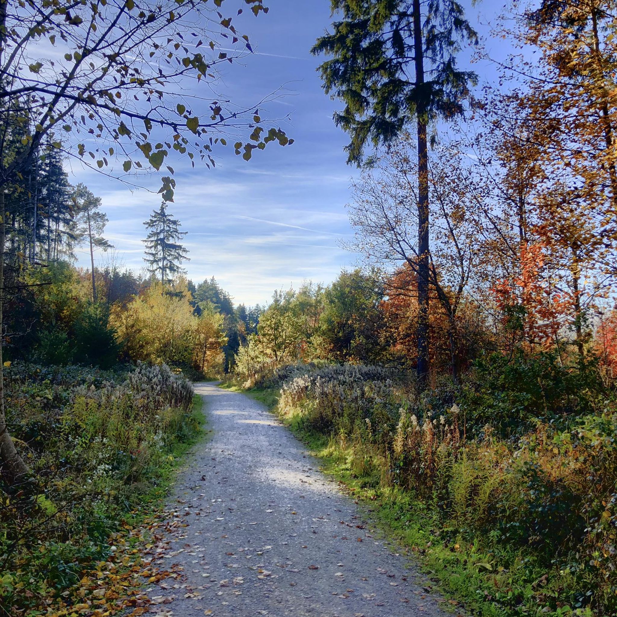
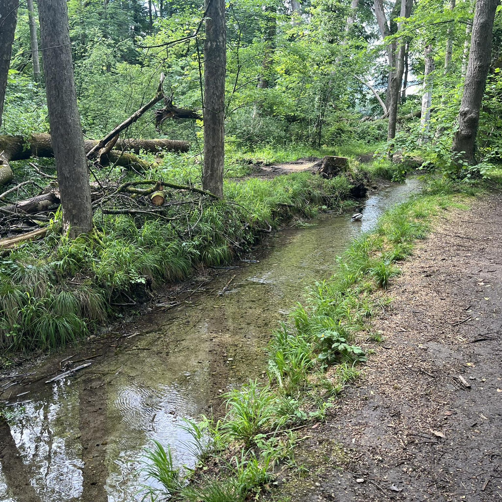
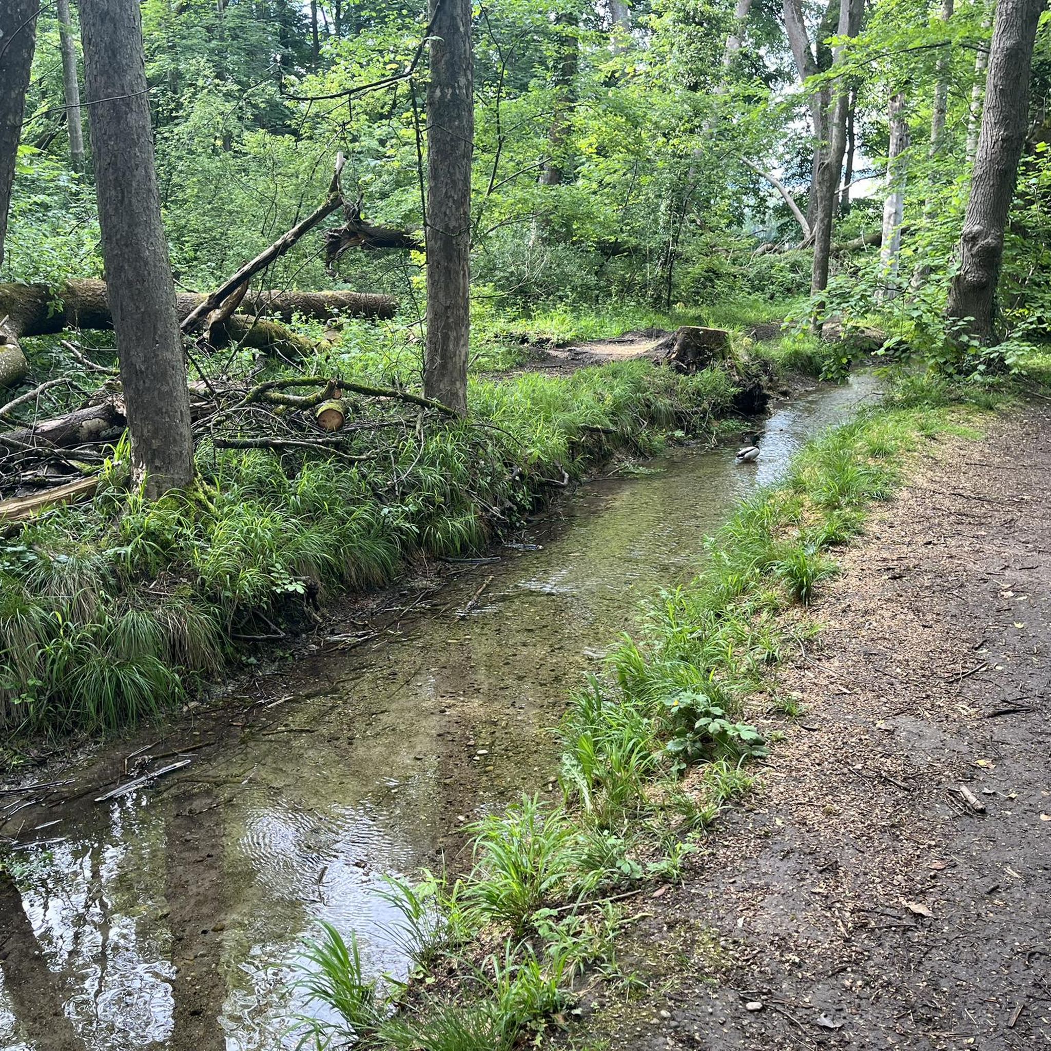
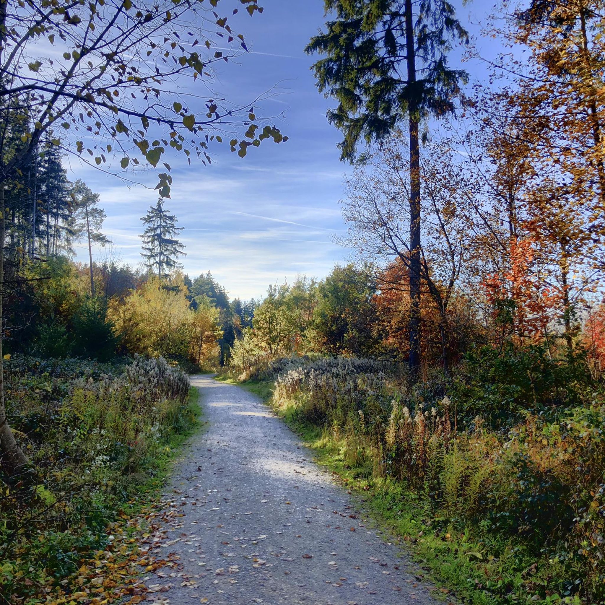
Tips from the Community

Lake Wörthsee is a charming lake next to Lake Ammersee
0
0

The beaver 🦫 is still building, but no problem with the MTB 05/2026
0
0

shady swimming spots and a beautiful path to get there
0
0

Beautiful view towards the Alps
0
0

Beautiful winter landscape in the local recreation area; caution with children, do not let them go onto the ice, there is a risk of breaking through!
0
0


The inn has been open since October 22, 2022. Foundation Estate Munich-Freiham (Inn "Zum Gustl", 2025-07-14): https://ehw-stiftungsgut.de/ INSTAGRAM (Foundation Inn Munich-Freiham, 2025-07-14): https://www.instagram.com/gasthaus_zum_gustl/ StadtmagazinMünchen24 (Foundation Inn "Zum Gustl" opens in Freiham, 2022-10-25): https://www.stadtmagazin-muenchen24.de/stiftungsgasthaus-zum-gustl-in-freiham-eroeffnet-93734 Wikipedia (Gut Freiham/Schlosswirtschaft – former manor, 2025-07-14): https://de.m.wikipedia.org/wiki/Gut_Freiham#Schlosswirtschaft_–_ehemaliger_Gutshof Wikipedia (List of Architectural monuments in Aubing, 2025-07-14): https://de.m.wikipedia.org/wiki/Liste_der_Baudenkmäler_in_Aubing#D-1-62-000-1867 “Gasthaus Schlosswirtschaft Freiham ... two-story building from the 17th/18th century, significantly altered in the 19th century; with portal ... D-1-62-000-1867” Edith Haberland Wagner Foundation (Gut Freiham, Munich, 2025-07-14): https://www.ehw-stiftung.de/projekte/gut-freiham/ Wikipedia (Edith Haberland Wagner Foundation, 2025-07-14): https://de.m.wikipedia.org/wiki/Edith-Haberland-Wagner_Stiftung
3
0
Frequently Asked Questions
How many gravel bike trails are available in Aubinger Lohe?
Aubinger Lohe offers a wide selection of gravel biking opportunities, with over 270 routes available on komoot. These range from easy rides to more challenging trails, ensuring there's something for every skill level.
What are the typical distances and durations for gravel bike routes in Aubinger Lohe?
The routes vary significantly in length and time. For example, a moderate ride like the View of the Alps – Root Trail loop from Lochhausen covers about 21.5 miles (34.5 km) and takes around 2 hours 39 minutes. Longer, more difficult routes can extend to over 45 miles (70 km) and require 4-5 hours to complete.
Are there any family-friendly gravel biking options in Aubinger Lohe?
Yes, Aubinger Lohe is a local recreation area with gentle green hills and open meadows, making it suitable for families. While specific 'family-friendly' gravel routes aren't explicitly categorized, many of the easier trails through the park-like forest environment can be enjoyed by families. The area also features playgrounds and a notable climbing tree, adding to its appeal for children.
What kind of terrain can I expect on the gravel trails in Aubinger Lohe?
You can expect a diverse mix of terrain. The area is characterized by reforested woodlands, open spaces, and gentle elevations. Many segments consist of unpaved and varied gravel paths, alongside some paved sections. This combination provides the mixed-terrain experience that gravel bikers seek, allowing you to connect with nature away from heavy traffic.
Where can I find parking for the gravel trails in Aubinger Lohe?
A convenient parking option is the Aubinger Lohe South Car Park. This highlight on komoot can help you locate a suitable starting point for your ride.
Are there any viewpoints or scenic spots along the gravel routes?
Absolutely. The Teufelsberg, the highest point in Aubinger Lohe, offers potential glimpses of the distant Alps on clear days. The area also features two small lakes, the Böhmerweiher, and various biotopes, providing picturesque natural settings along your ride.
What do other gravel bikers enjoy most about riding in Aubinger Lohe?
The area is highly rated by the komoot community, with an average score of 4.5 stars from over 800 reviews. Reviewers often praise the diverse landscape, the mix of unpaved and varied gravel paths, and the opportunity to ride through quiet woodlands and open meadows away from city traffic. The varied terrain and natural features like the lakes and streams are frequently highlighted.
Are there any places to eat or drink near the gravel trails?
Yes, after your ride, you can visit the Waldwirtschaft Bienenheim. This restaurant is known for 'Slow Food' and features a pleasant beer garden, offering a great spot for refreshments and relaxation.
Can you recommend a challenging gravel route for experienced riders?
For a more demanding ride, consider the Wörthsee – View of Lake Wörthsee and the Alps loop from Lochhausen. This difficult 45.3-mile (72.9 km) path offers extensive views and a significant challenge for experienced gravel cyclists.
What natural features can I explore while gravel biking in Aubinger Lohe?
Aubinger Lohe is rich in natural features. You'll encounter a park-like forest with 'enchanted trees,' gentle green hills, and wide meadows. The area is also home to the Böhmerweiher lakes, the Erlbach and Lohwiesengraben streams, and a small canyon formed from historical clay extraction, all contributing to a varied and interesting landscape.
Is there a moderate gravel route that offers a good overview of the area?
A great moderate option is the Woodcutter's Chapel – Cycle path to Geisenbrunn loop from Lochhausen. This route covers about 32.8 miles (52.7 km) and provides a good mix of the region's varied landscapes.
Are there any routes that feature lakes or water bodies?
Yes, the Würm Canal Path – Waldschwaig Lake loop from Lochhausen is a moderate route that takes you past the Waldschwaig Lake and along the Würm Canal, offering pleasant waterside views.
Most popular routes around Aubinger Lohe
Most popular attractions around Aubinger Lohe

Get inspired with the komoot mobile app


Explore more
Browse the best Gravel rides in other regions.
