The best gravel rides around Greenlee Lough
4.7
(14)
169
riders
22
rides
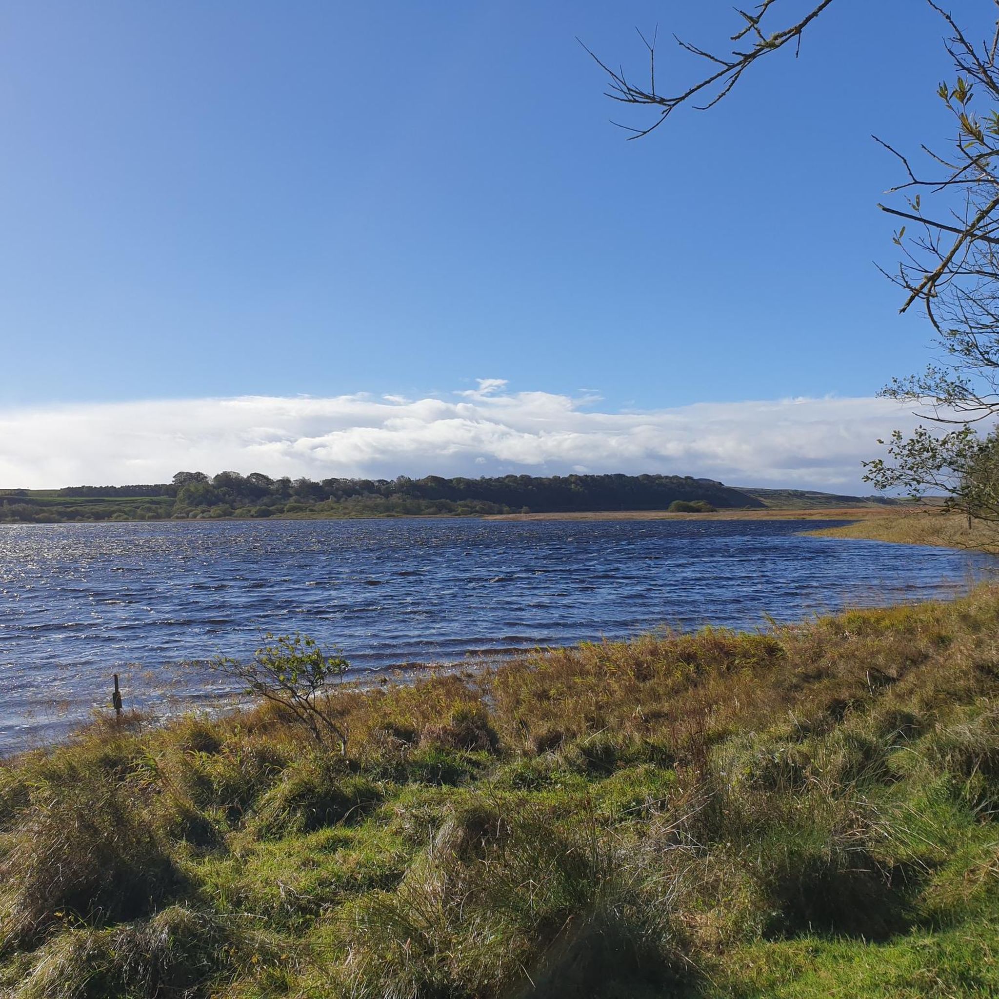
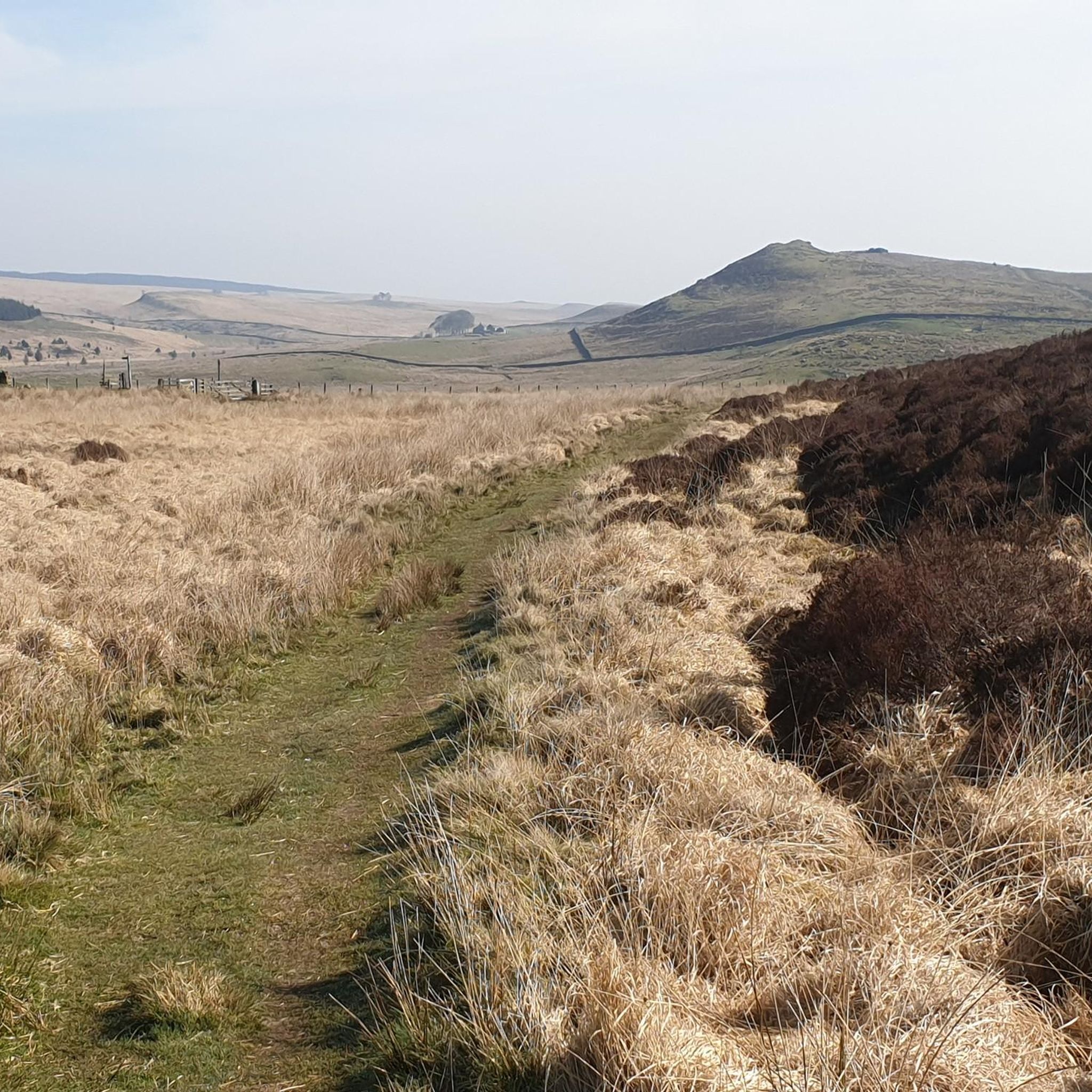
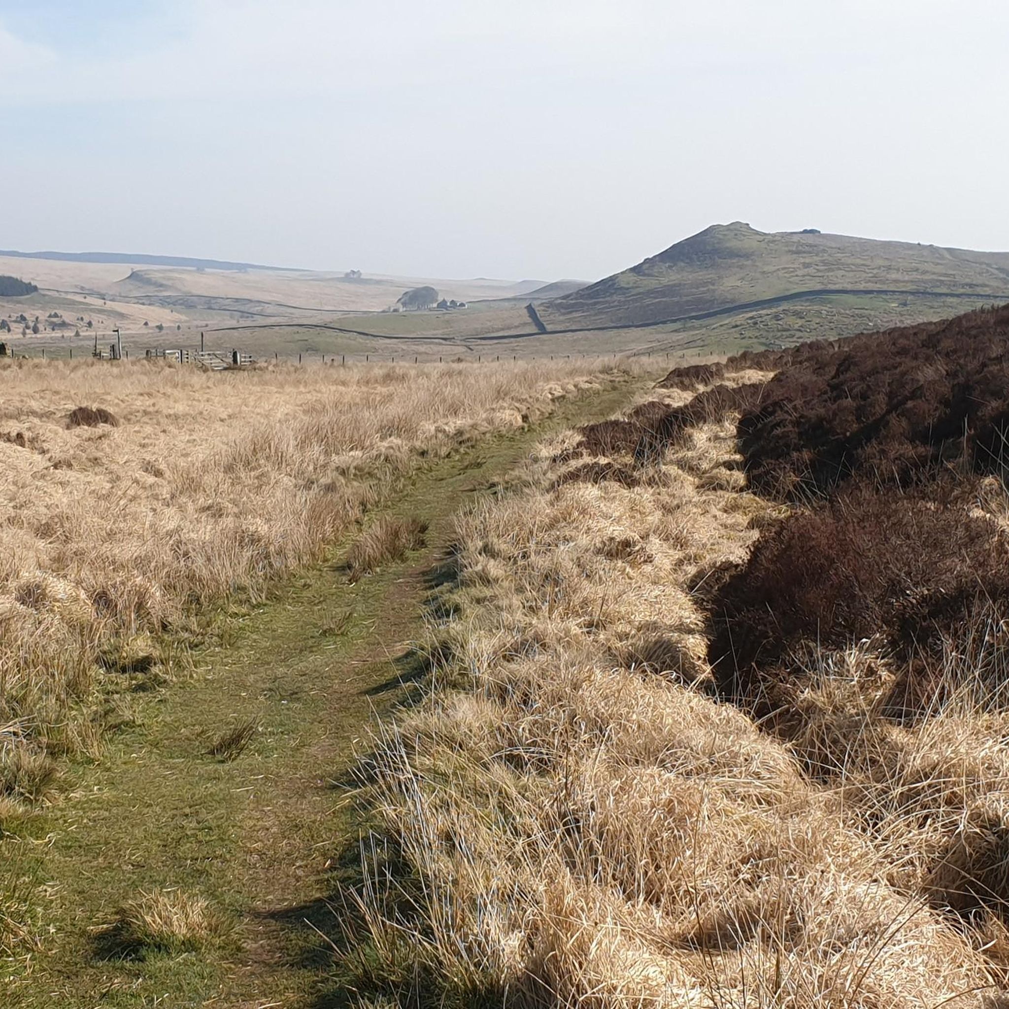
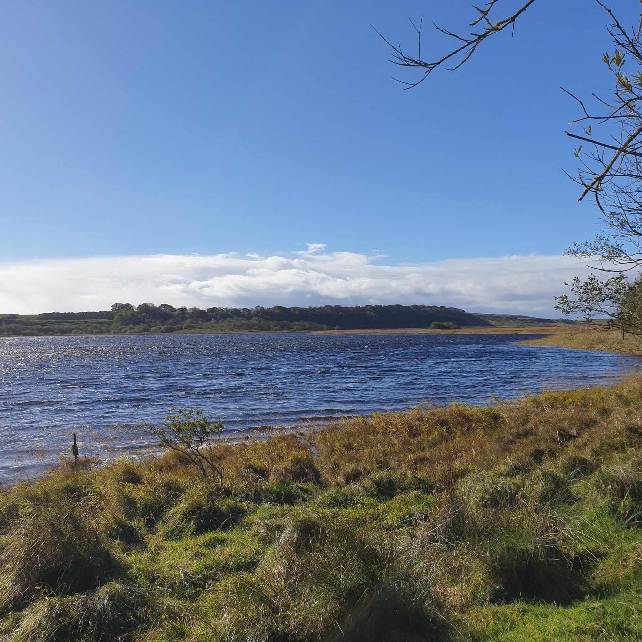
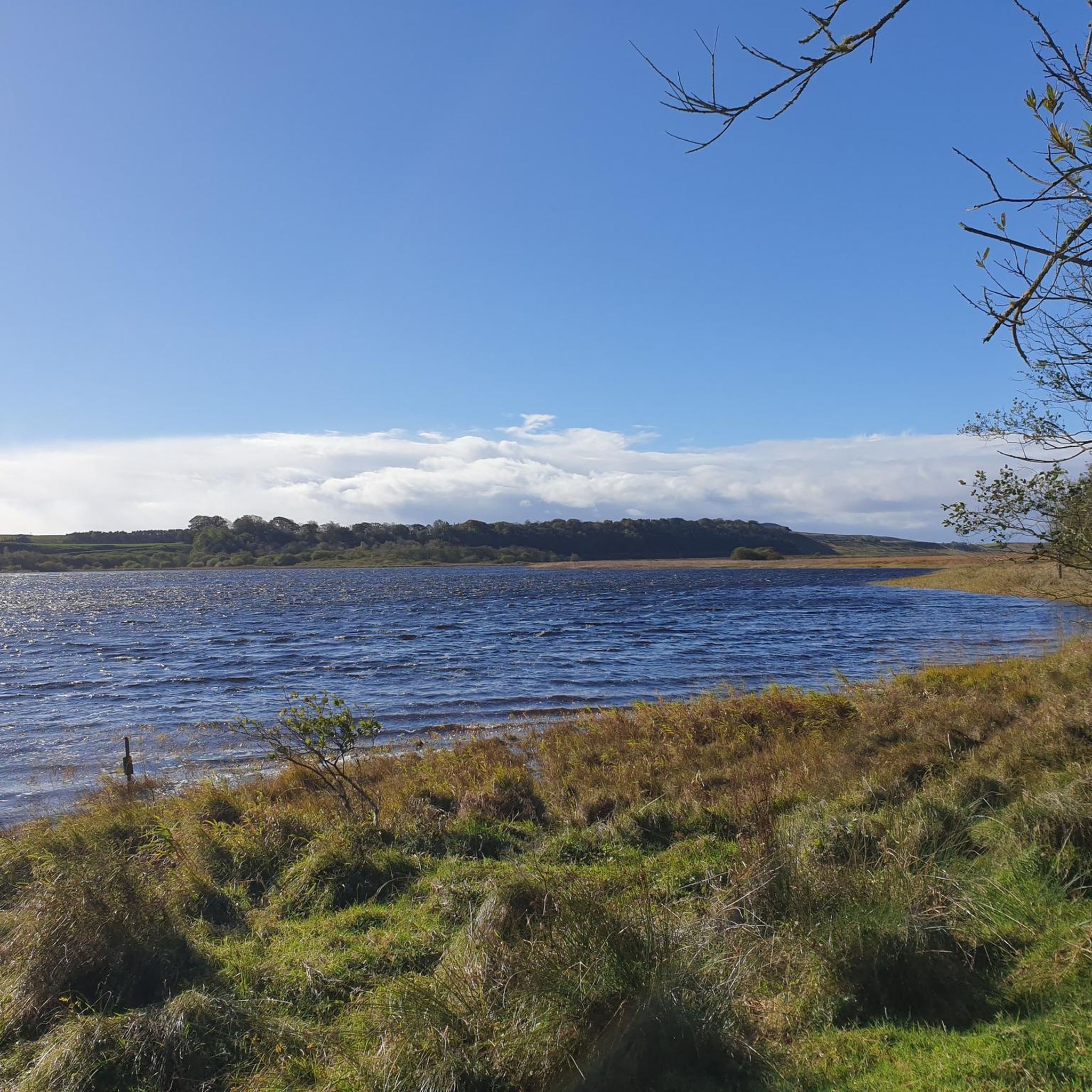
Gravel biking around Greenlee Lough features routes that traverse varied terrain, including sections near Kielder Forest and Kielder Water. The landscape is characterized by rolling hills, forest paths, and open areas, with significant elevation gains on many routes. Trails often provide views of the lough and surrounding natural features. The region offers a network of paths suitable for gravel cycling, ranging from moderate to difficult.
Best gravel bike trails around Greenlee Lough
- The most popular gravel bike trail is View…
Last updated: July 2, 2026
5.0
(2)
12
riders
Hard gravel ride. Very good fitness required. Mostly paved surfaces. Suitable for all skill levels.
19
riders
Hard gravel ride. Very good fitness required. Mostly paved surfaces. Suitable for all skill levels.

Sign up for free
14
riders
78.4km
05:31
970m
970m
Hard gravel ride. Very good fitness required. Mostly paved surfaces. Suitable for all skill levels.
13
riders
33.8km
02:45
360m
360m
Moderate gravel ride. Good fitness required. Mostly paved surfaces. Suitable for all skill levels.
6
riders
23.3km
01:56
270m
270m
Moderate gravel ride. Good fitness required. Mostly paved surfaces. Suitable for all skill levels.
Get access to more routes and recommendations from other explorers.
Sign up for free
Already have an account?
Our route recommendations are based on thousands of hikes, rides, and runs completed by other people on komoot.
Start today with a free account
Your next adventure awaits.
Login or Signup
Tips from the Community

The Sill is the perfect place to explore Northumberland National Park and a fantastic location to connect with nature and the unique and special landscapes of the national park. There are interesting exhibitions, affordable parking, a café, toilets, etc. You can also enjoy a spectacular view from the rooftop terrace. It is a good starting point for walks to Hadrian's Wall.
4
0

Several trees across path , very difficult lifting over or going underneath.
0
0

This is beautifully done
10
0
You don't see much here, but the trail is nice and the scenery is picturesque.
11
0
The Sill National Landscape Discovery Centre is a modern visitor center. It is designed to inspire and connect people of all ages with the landscape, heritage, and nature of Northern England. It features interactive exhibitions on nature, climate, and culture, a panoramic roof terrace with views of the landscape, a café with local products, and a shop featuring regional crafts. Since July 2025, it has also been home to an impressive art installation around the iconic Sycamore Gap tree, which was felled in 2023. The remaining trunk now serves as a memorial and meeting place.
9
0
Peel Crags: This sheer cliff face forms one of the most dramatic sections of Hadrian's Wall. The path winds along the edge of Whin Sill, offering panoramic views of Crag Lough and the former Sycamore Gap. The combination of geology, history, and landscape makes Peel Crags an iconic stop for walkers and cyclists.
9
0
One of the most iconic viewpoints in Northumberland National Park is just minutes from Steel Rigg Car Park. From here, a panoramic view unfolds of Hadrian's Wall, winding like a ribbon of stone across the rugged cliffs of Whin Sill. The landscape here is particularly photogenic, with views of Crag Lough, Hotbank Crags, and the famous Sycamore Gap.
8
0
This modest yet charming suspension bridge is part of the Lakeside Way, the walking and cycling path around Kielder Water. Suspended above the tranquil Lewis Burn, it offers beautiful views of the surrounding pine forest and the rippling water. With its simple steel construction and wooden deck, it is a prime example of functional forest infrastructure—perfectly integrated into the landscape. For cyclists and walkers, it's a lovely spot for a short break, a photo, or simply to reflect on the tranquility of the forest.
10
0
Frequently Asked Questions
What is the general difficulty level of gravel biking trails around Greenlee Lough?
The gravel biking trails around Greenlee Lough are predominantly moderate to difficult. Out of 23 available routes, 13 are rated moderate and 10 are difficult, often featuring significant elevation gains and varied terrain.
Are there any beginner-friendly gravel bike routes in the Greenlee Lough area?
While the region is known for its moderate to difficult trails, those new to gravel biking might consider routes with less extreme elevation changes. For example, the Wyate Bridge – View of the Road to Falstone loop from Stonehaugh is a moderate option, offering a good introduction to the area's terrain without the most challenging climbs.
What are the typical distances for gravel bike routes around Greenlee Lough?
Route distances vary significantly, catering to different endurance levels. You'll find options ranging from around 33 kilometers, like the Wyate Bridge – View of the Road to Falstone loop from Stonehaugh, up to longer excursions such as the Kielder Water Cycle Path – Lakeside Way loop from Stonehaugh, which covers nearly 78 kilometers.
What kind of terrain can I expect on gravel bike trails near Greenlee Lough?
The terrain is quite varied, characterized by rolling hills, dense forest paths, and open areas. Many routes include sections near Kielder Forest and Kielder Water, offering a mix of surfaces and scenic views of the lough and surrounding natural features.
Are there any circular gravel bike routes available around Greenlee Lough?
Yes, many of the gravel bike routes in the area are designed as loops, allowing you to start and finish at the same point. Examples include the challenging View from Outer Butt Hill – Viewpoint near Steel Rigg loop from Milecastle 40 (Winshields) and the extensive Kielder Water Cycle Path – Lakeside Way loop from Stonehaugh.
What are the best seasons for gravel biking in Greenlee Lough?
Spring, summer, and early autumn generally offer the most favorable conditions for gravel biking around Greenlee Lough. During these seasons, you can expect milder weather, longer daylight hours, and drier trails, making for a more enjoyable experience.
What should I consider if gravel biking in Greenlee Lough during winter?
Winter conditions can be challenging, with shorter daylight hours, colder temperatures, and potentially muddy or icy trails. It's advisable to check local weather forecasts, dress in warm, waterproof layers, and ensure your bike is equipped for adverse conditions. Some trails may become less accessible.
Are there any notable viewpoints or attractions along the gravel routes?
Many routes offer panoramic views from elevated positions, particularly around areas like Steel Rigg. You can also explore historical sites such as Vindolanda Fort or Milecastle 40 (Winshields) on routes like the Kielder Forest Gravel Trail – Viewpoint near Steel Rigg loop from Vindolanda Fort, which combines forest sections with historical interest.
What do other gravel bikers enjoy most about the Greenlee Lough area?
The Greenlee Lough area is highly rated by the komoot community, with an average score of 4.8 stars. Reviewers often praise the varied terrain, the challenging nature of the routes, and the scenic views, especially those overlooking the lough and within Kielder Forest.
Are there options for food and drink near the gravel trails?
While the immediate vicinity of Greenlee Lough is quite rural, you can find cafes and pubs in nearby villages and towns, particularly around Kielder Water and along the Hadrian's Wall corridor. It's a good idea to plan your route to pass through these areas or carry sufficient provisions.
Where can I find parking for gravel biking trails around Greenlee Lough?
Parking is typically available at common starting points for routes, such as near Vindolanda Fort, Milecastle 40 (Winshields), or Stonehaugh. Specific parking details are usually provided on individual route descriptions on komoot, so it's best to check the tour page for your chosen route.
What kind of wildlife might I encounter while gravel biking in Greenlee Lough?
The Greenlee Lough area, being part of a rich natural landscape, offers opportunities to spot various wildlife. Keep an eye out for local bird species, red squirrels in Kielder Forest, and other native mammals. Maintaining a respectful distance and quiet approach will enhance your chances of sightings.
Most popular routes around Greenlee Lough

Get inspired with the komoot mobile app


Explore more
Browse the best Gravel rides in other regions.
