The best gravel rides around Ogston Reservoir
4.4
(99)
575
riders
45
rides
Gravel biking around Ogston Reservoir offers a network of trails suitable for various skill levels. The region features a mix of reservoir-side paths, former railway lines, and routes through rolling countryside. Elevation changes are present, with some trails including climbs up to 600 meters. The landscape provides varied terrain for gravel cyclists.
Best gravel bike trails around Ogston Reservoir
- The most popular gravel bike trail is Teversal Station – Brierley Water Pond loop from Shirland and Higham CP, a…
Last updated: July 16, 2026
13
riders
28.0km
01:42
220m
220m
Moderate gravel ride. Good fitness required. Mostly paved surfaces. Suitable for all skill levels.
3.0
(1)
5
riders
33.6km
02:04
470m
470m
Hard gravel ride. Very good fitness required. Mostly paved surfaces. Suitable for all skill levels.

Sign up for free
11
riders
51.5km
03:17
520m
520m
Hard gravel ride. Very good fitness required. You may need to push your bike for some segments of this route.
5.0
(1)
15
riders
36.2km
02:01
250m
250m
Moderate gravel ride. Good fitness required. Mostly paved surfaces. Suitable for all skill levels.
7
riders
111km
06:40
960m
960m
Hard gravel ride. Very good fitness required. Mostly paved surfaces. Suitable for all skill levels.
Get access to more routes and recommendations from other explorers.
Sign up for free
Already have an account?
Our route recommendations are based on thousands of hikes, rides, and runs completed by other people on komoot.
Start today with a free account
Your next adventure awaits.
Login or Signup
Tips from the Community

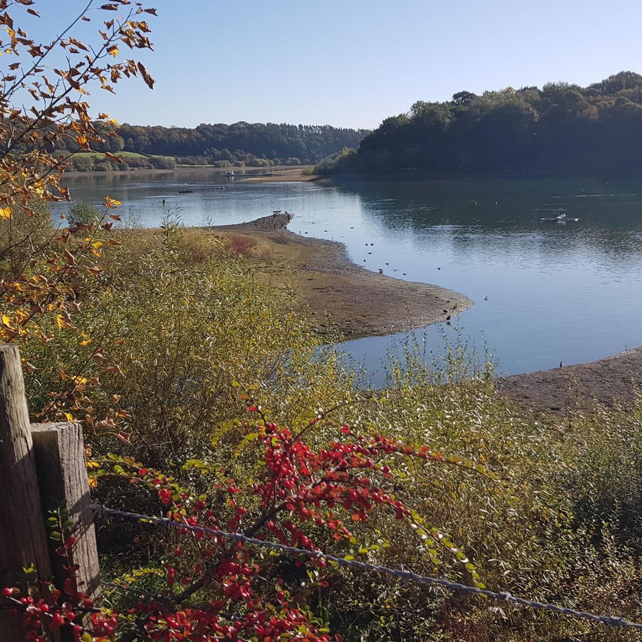
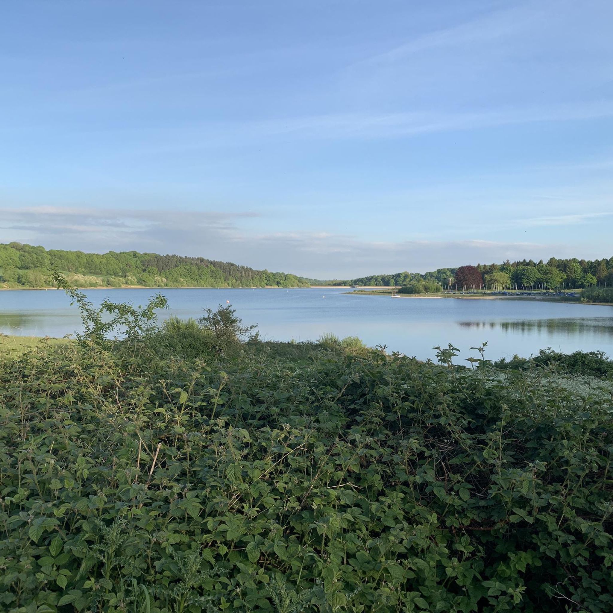
Busy at weekend and Evenings but overall lovely place with lots to do. Be careful of the water if you’re not used to wild swimming/ outdoor swimming. Great staff and a couple of cafe’s.
0
0

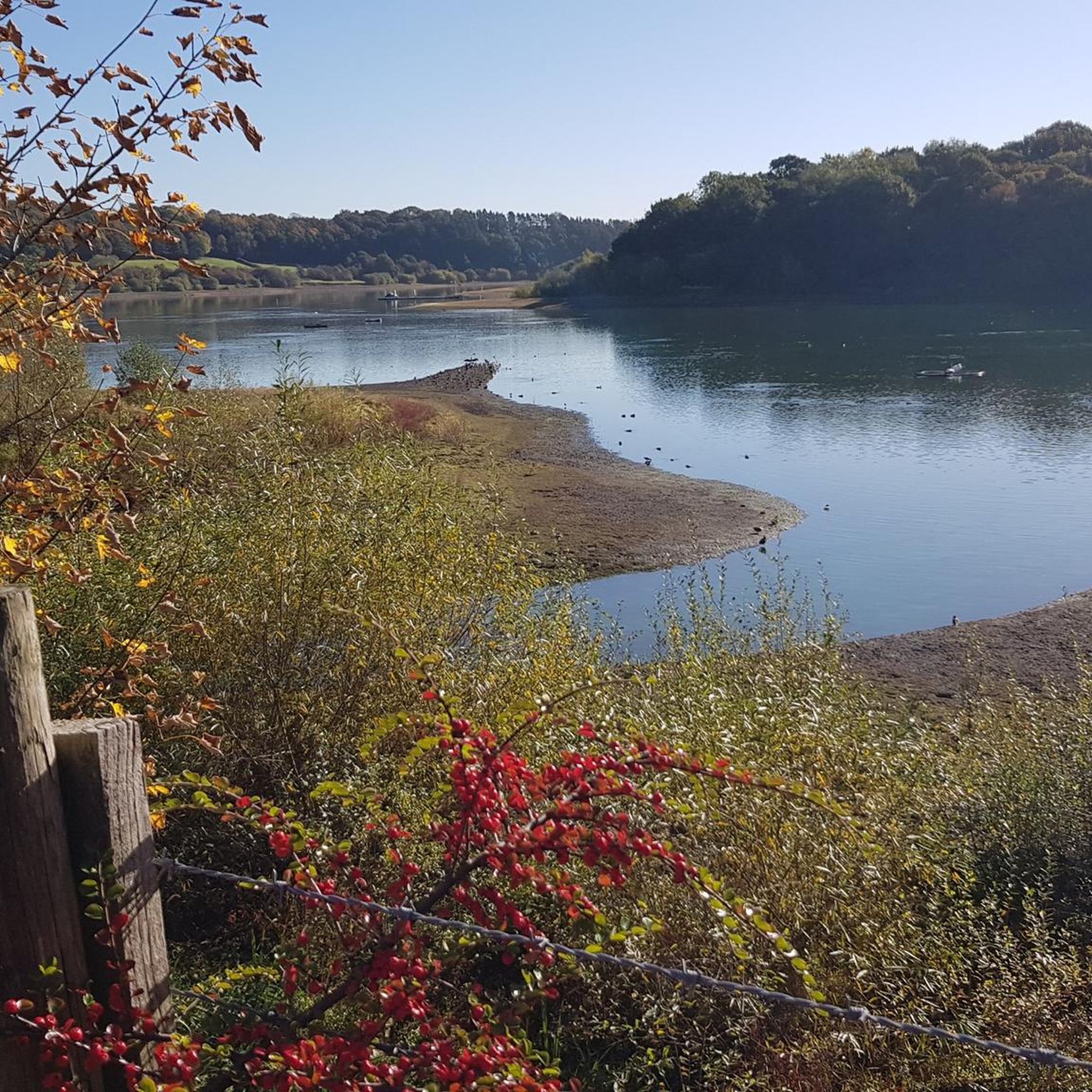
Hiking down the a road for a stunning view of Ogston Reservoir from Ashover
0
0


Nice easy flat ride round both lakes a mixture of gravel paths and tarmac roads around the park also a caffe and toilets within the park.
0
0

beautiful peaceful spot with car park and bird hide
0
0


Great early in the morning. Best avoided after 10am, gets very busy
0
0
Frequently Asked Questions
How many gravel bike trails are available around Ogston Reservoir?
There are over 50 gravel bike routes to explore around Ogston Reservoir. These trails offer a mix of reservoir-side paths, former railway lines, and routes through the rolling countryside, catering to various skill levels.
What are the general difficulty levels for gravel biking around Ogston Reservoir?
The trails around Ogston Reservoir offer a range of difficulties. You'll find 4 easy routes, 19 moderate routes, and 31 more challenging routes. This variety ensures options for both casual riders and those seeking a more strenuous adventure.
Are there any family-friendly gravel bike routes near Ogston Reservoir?
Yes, several routes are suitable for families, particularly those that follow former railway lines which tend to be flatter and well-maintained. For example, the Teversal Station – Brierley Water Pond loop from Shirland and Higham CP is a moderate route that includes waterside sections and disused railway paths, making it a good option for a family outing.
Where can I find parking for gravel biking around Ogston Reservoir?
Many routes start from designated car parks. For instance, the popular Teversal Station – Brierley Water Pond loop begins from Shirland and Higham CP, and the View of the Five Pits Trail – Five Pits Trail loop starts from Ashover CP. Always check the specific route details on komoot for recommended parking locations.
What is the best time of year for gravel biking around Ogston Reservoir?
Spring and autumn generally offer the most pleasant conditions for gravel biking around Ogston Reservoir, with milder temperatures and beautiful scenery. Summer can be great too, but be prepared for more people on the trails. Winter riding is possible, but some paths may be muddy or icy, so check local conditions before heading out.
Are there circular gravel bike routes available around Ogston Reservoir?
Yes, many of the gravel bike routes around Ogston Reservoir are circular, allowing you to start and finish at the same point. Examples include the Teversal Station – Brierley Water Pond loop and the View of the Five Pits Trail – Five Pits Trail loop, both offering varied terrain in a loop format.
What are the typical trail conditions like for gravel biking in this region?
The trails around Ogston Reservoir feature a mix of surfaces. You'll encounter compacted gravel paths, sections of former railway lines which are generally smooth, and some routes through rolling countryside that may include dirt tracks or bridleways. Conditions can vary with weather, becoming muddier after rain.
Are there any routes for advanced gravel cyclists seeking a challenge?
Absolutely. For experienced riders, routes like the Matlock Bath – High Peak Trail loop from Crich CP offer significant climbs, with elevations up to 618 meters over 57 kilometers. The Teversal Old Station – Teversal Station loop from Old Tupton is another challenging option, covering over 50 kilometers with substantial elevation gain.
What do other gravel bikers enjoy most about the trails around Ogston Reservoir?
The area is highly rated by the komoot community, with an average score of 4.3 stars from over 90 reviews. Riders often praise the varied terrain, the scenic reservoir-side paths, and the well-maintained sections of former railway lines that offer a unique cycling experience. The mix of moderate and challenging routes is also frequently highlighted.
Are there cafes or refreshment stops along the gravel trails near Ogston Reservoir?
While specific cafes directly on every trail are not guaranteed, many routes pass through or near villages and towns where you can find refreshment stops. It's advisable to check the route map on komoot before your ride to identify potential stops or to carry sufficient water and snacks, especially on longer routes.
Can I find routes that offer good viewpoints around Ogston Reservoir?
Yes, many routes provide excellent viewpoints, particularly those that climb into the surrounding hills or follow the reservoir's edge. The region's rolling countryside naturally offers elevated positions with panoramic views of the reservoir and the Derbyshire landscape. Look for routes that include sections through the 'Five Pits Trail' area for varied vistas.
Most popular routes around Ogston Reservoir

Get inspired with the komoot mobile app


Explore more
Browse the best Gravel rides in other regions.
