The best gravel rides around Aalkistensee
4.5
(36)
213
riders
68
rides
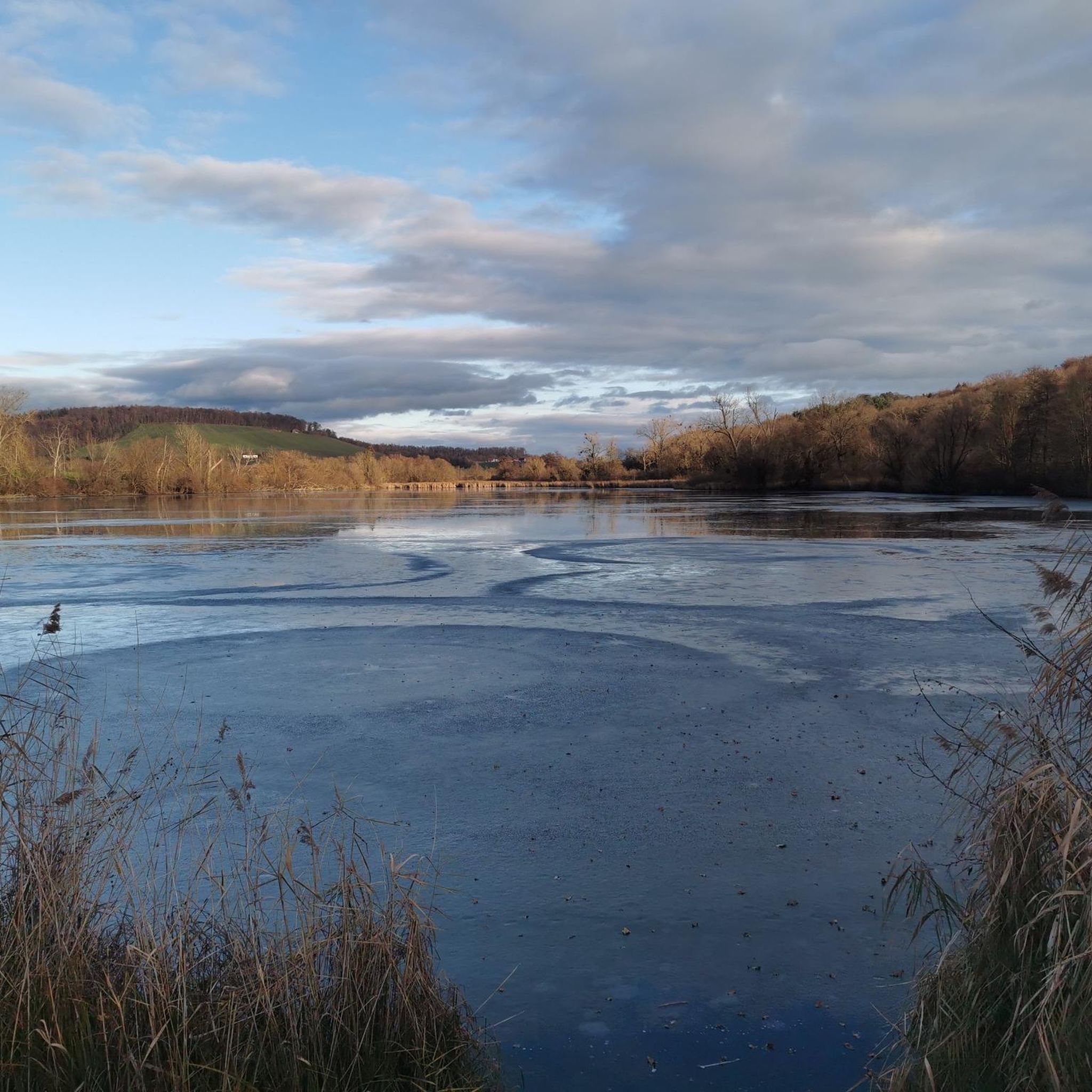
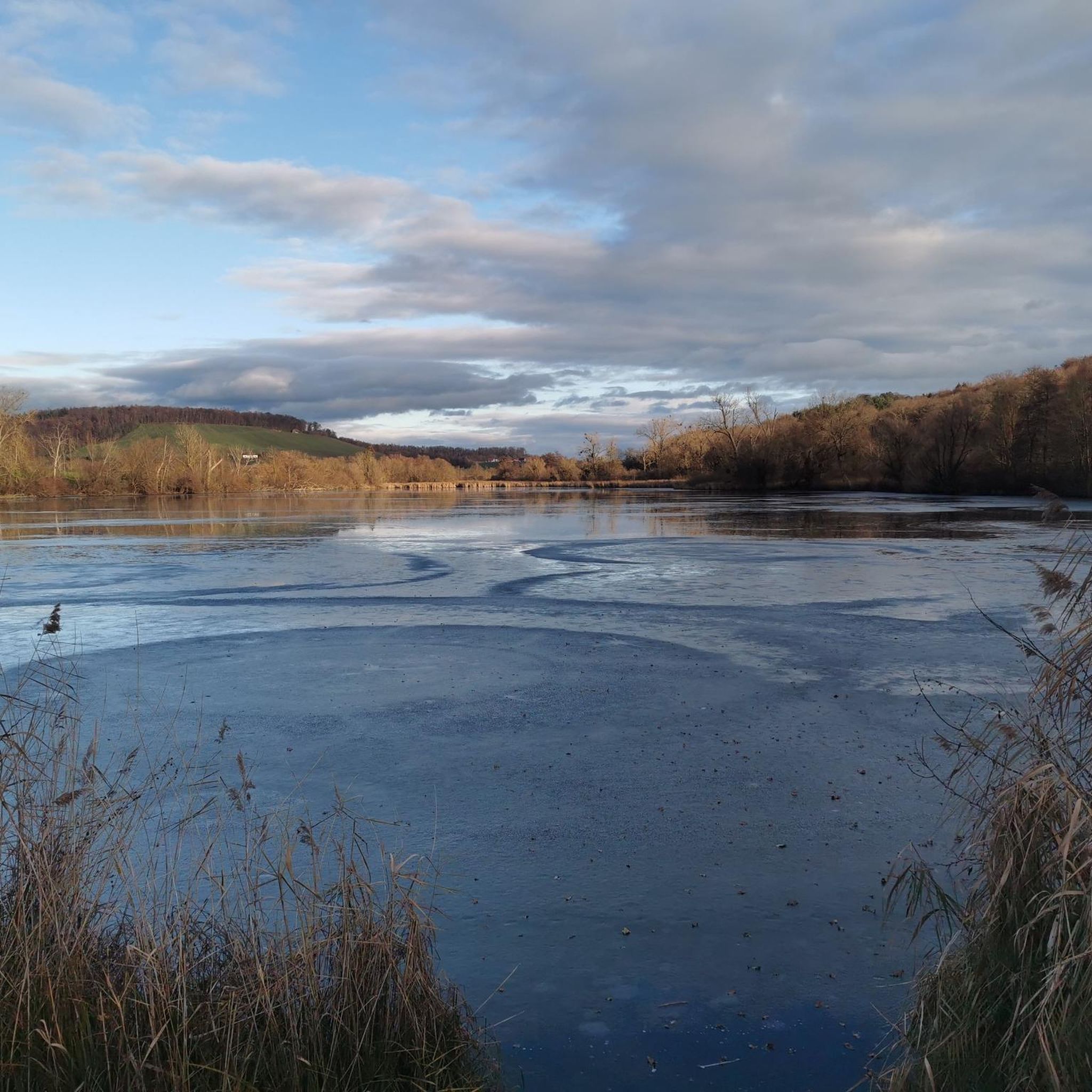
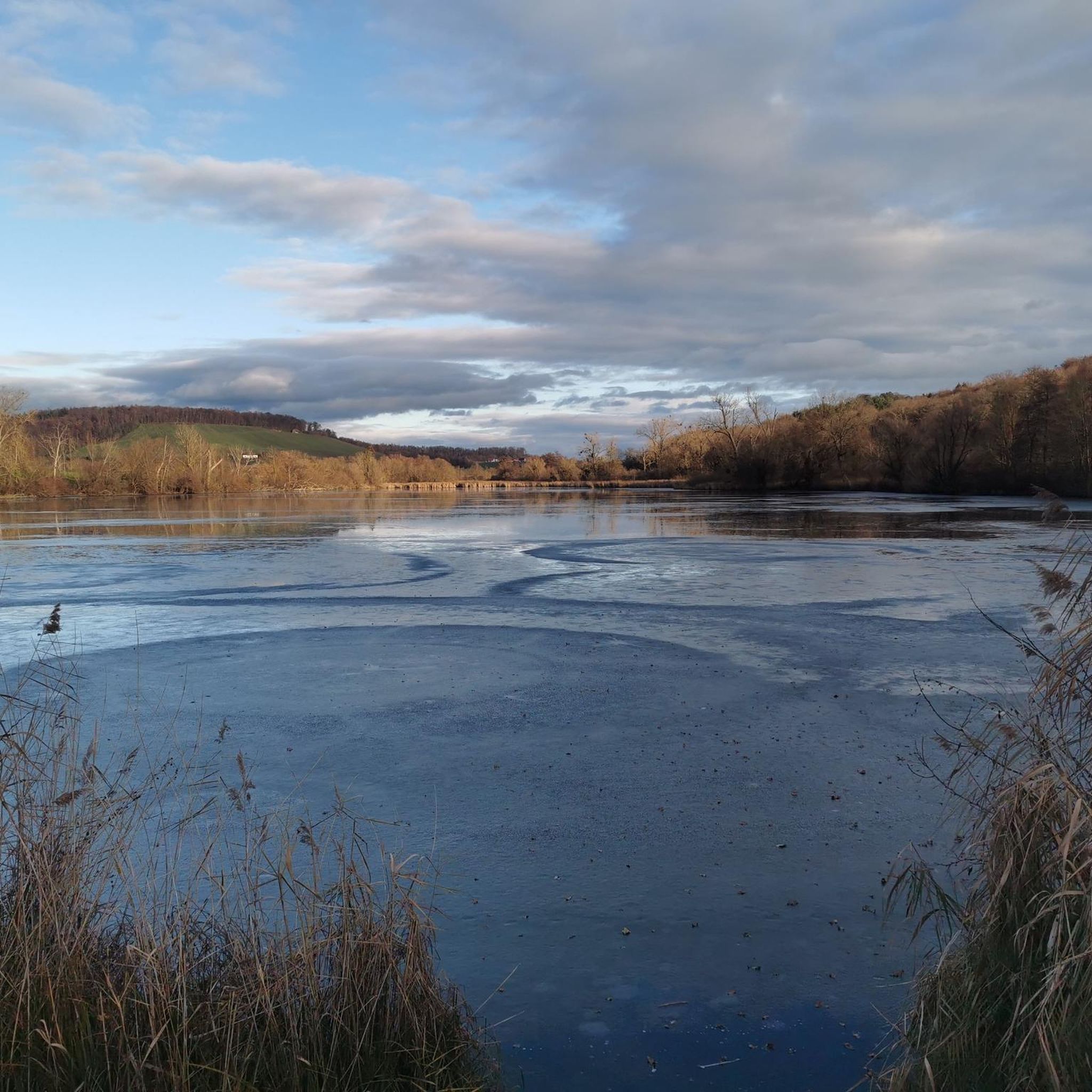
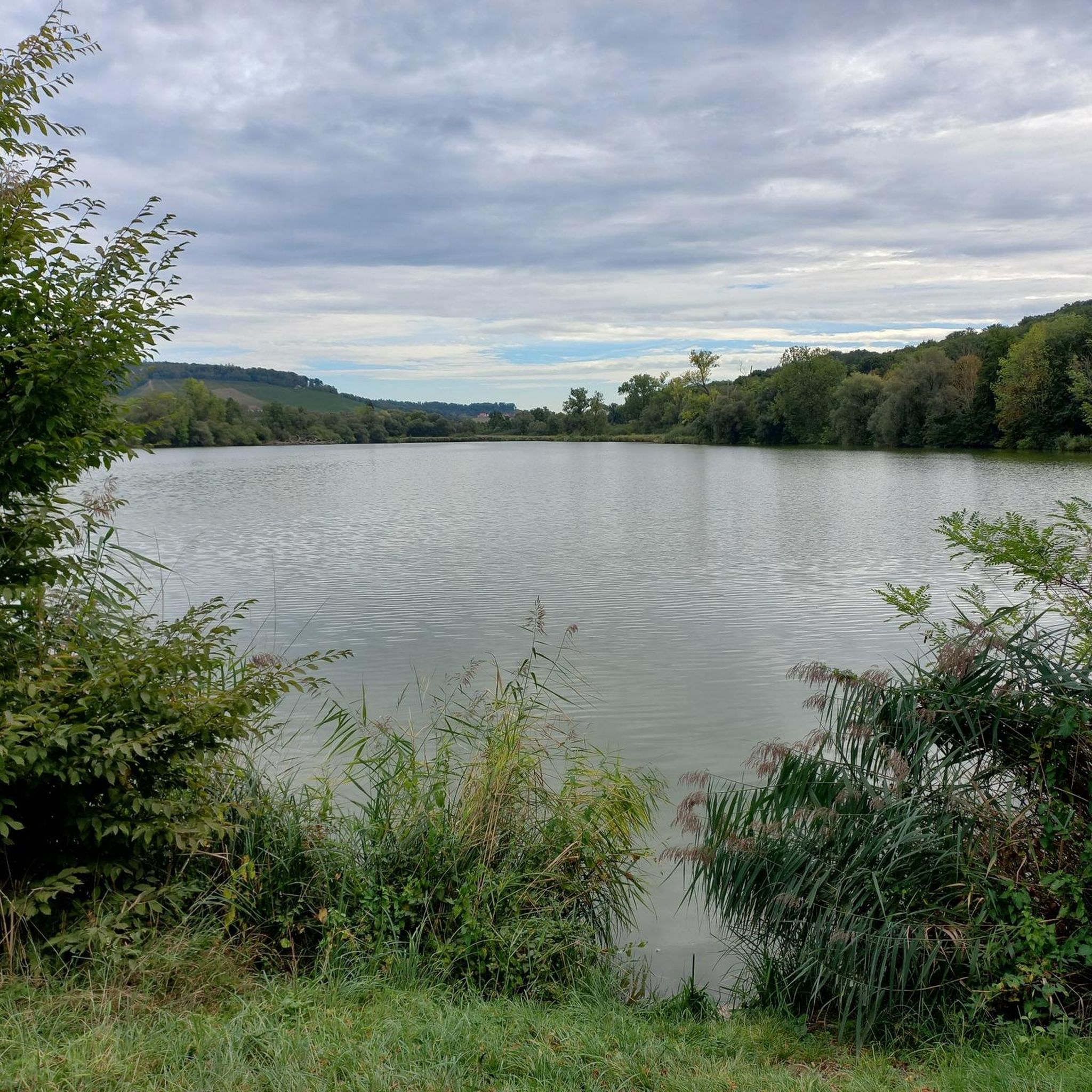
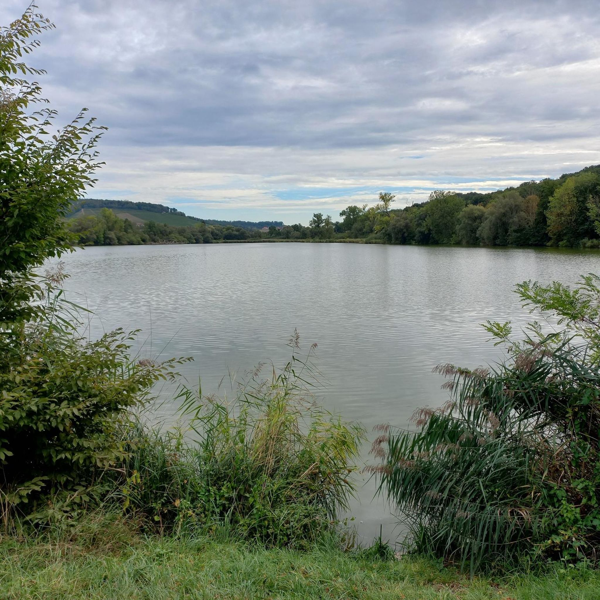
Gravel biking around Aalkistensee offers diverse terrain within the Kraichgau-Stromberg region, known as the "Land of 1000 Hills." The area features rolling hills, dense forests, and vineyards, providing varied surfaces for gravel cyclists. Aalkistensee itself is a natural sinkhole expanded for fish farming, now a nature reserve surrounded by mature trees. This topography creates a network of paths suitable for both paved and unpaved gravel experiences.
Best gravel bike trails around Aalkistensee
- The most popular gravel bike trail is Schefenackertrail…
Last updated: July 10, 2026
5.0
(1)
24
riders
Hard gravel ride. Very good fitness required. Mostly paved surfaces. Suitable for all skill levels.
4.3
(3)
13
riders
34.2km
02:58
570m
570m
Hard gravel ride. Very good fitness required. Mostly paved surfaces. Suitable for all skill levels.

Sign up for free
4.6
(15)
70
riders
33.4km
01:52
210m
210m
Moderate gravel ride. Good fitness required. Mostly paved surfaces. Suitable for all skill levels.
3
riders
Moderate gravel ride. Good fitness required. Mostly paved surfaces. Suitable for all skill levels.
5
riders
Moderate gravel ride. Good fitness required. Mostly paved surfaces. Suitable for all skill levels.
Get access to more routes and recommendations from other explorers.
Sign up for free
Already have an account?
Our route recommendations are based on thousands of hikes, rides, and runs completed by other people on komoot.
Start today with a free account
Your next adventure awaits.
Login or Signup
Tips from the Community

Beautiful view in and over the vineyards
0
0

The new wine bar is beautiful. Wine-wise, there is a lot from different vintners and cooperatives. No wish remains unfulfilled. Food-wise, unfortunately, it's a bit limited: steaks, sausages, and Flammkuchen.
0
0

Construction began in the 1200th century and lasted 400 years until final completion
0
0

Open on weekends, a nice place to stop for a break. Small dishes and wine with a beautiful panoramic view.
0
0

A must-see if you're in the area, a fantastic facility, truly worth seeing.
0
0

A natural hiking trail runs directly along the Enz river below the Kammertenberg nature reserve.
6
0
A pedestrian and cycle bridge connects Lomersheim and Mühlhausen. The bridge also offers a good view of the Enz River and the Kammertenberg nature reserve.
6
0

Jöhlinger Hasensprung
0
0
Frequently Asked Questions
How many gravel bike trails are available around Aalkistensee?
The Aalkistensee region offers a wide selection of routes for gravel biking, with over 130 trails available on komoot. These routes cater to various skill levels, including 3 easy, 75 moderate, and 54 difficult options, ensuring there's a suitable ride for almost every gravel cyclist.
What kind of terrain can I expect on gravel bike trails near Aalkistensee?
You can expect a diverse mix of terrain around Aalkistensee. The region, part of the 'Land of 1000 Hills' in Kraichgau-Stromberg, features rolling hills, dense forests, and picturesque vineyards. Trails often combine paved sections with 'crunchy paths' of loose gravel, and sometimes even 'a carpet of roots,' providing a true gravel biking experience.
Are there any family-friendly gravel bike routes in the Aalkistensee area?
While many routes in the Aalkistensee region are moderate to difficult, there are a few easier options suitable for families or beginners. These trails typically feature less elevation gain and smoother surfaces. For example, the 3.5 km circular trail directly around Aalkistensee itself offers a gentle introduction on reinforced paths, which can be a good starting point before exploring longer routes.
What are some notable natural features or landmarks to look out for while gravel biking?
The Aalkistensee itself is a significant natural landmark, being the largest preserved lake in the Maulbronn monastery landscape, surrounded by ancient trees and diverse birdlife. The broader Kraichgau-Stromberg region offers panoramic views over vineyards and rolling hills. You might also encounter historical elements related to the Cistercian monks of Maulbronn Abbey, who originally expanded the lake for fish farming. For a route with specific views, consider the View of Sternenfels Castle – Michaelsberg Picnic Area loop, which offers vistas towards Sternenfels Castle.
What is the best time of year for gravel biking around Aalkistensee?
The Kraichgau-Stromberg region is generally enjoyable for gravel biking from spring through autumn. Spring brings blooming landscapes, while autumn offers vibrant foliage and pleasant temperatures. Summer can be warm, but the dense forests provide welcome shade. Winter conditions might include mud or ice, making some trails more challenging, so checking local weather is always advisable.
Are there any circular gravel bike routes available?
Yes, many of the gravel bike routes around Aalkistensee are designed as loops, allowing you to start and end at the same point. Examples include the popular Schefenackertrail – Kirbachtal Valley Road loop and the Tiefer See Maulbronn – Enz Bridge loop, both offering comprehensive tours of the scenic landscape.
What do other gravel bikers say about the trails in Aalkistensee?
The gravel biking experience around Aalkistensee is highly regarded by the komoot community, with an average rating of 4.7 out of 5 stars from over 50 reviews. Cyclists frequently praise the varied terrain, the tranquil natural setting, and the beautiful views over vineyards and through dense forests. Many appreciate the challenge offered by the rolling hills and the well-maintained paths.
Where can I find parking for gravel biking near Aalkistensee?
While specific parking areas for gravel bikers are not explicitly detailed, the region around Aalkistensee, particularly near Maulbronn, offers various parking options. Look for designated parking lots near trailheads or in the vicinity of Maulbronn Stadt/Kloster, which serves as a common starting point for many routes. Always check local signage for parking regulations.
Can I reach Aalkistensee and its gravel trails using public transport with my bike?
Public transport options to the Aalkistensee region, such as trains to nearby towns like Maulbronn, are available. Many regional trains allow bikes, often with a special ticket or during off-peak hours. From Maulbronn, you can cycle to the lake and access various gravel trails. It's recommended to check the specific public transport provider's rules regarding bike carriage before your trip.
Are there any cafes or pubs near the gravel trails for a break?
The Aalkistensee region is part of the Kraichgau, which features charming villages and towns like Maulbronn. You'll find various cafes, pubs, and restaurants in these areas where you can take a break, refuel, and enjoy local hospitality. These establishments are typically a short ride from the main trail networks.
What is the general difficulty level of gravel biking around Aalkistensee?
The gravel biking routes around Aalkistensee range from moderate to difficult. While there are a few easier options, the majority of the 130+ trails feature significant elevation changes due to the 'Land of 1000 Hills' topography. For example, routes like the Pfinz River – View of the Pfinz River loop are rated as difficult, requiring a good level of fitness.
Are there any specific regulations or permits required for gravel biking in the Aalkistensee nature reserve?
Aalkistensee is situated within a nature reserve. While general cycling is often permitted on designated paths, it's crucial to stay on marked trails to protect the natural environment. No specific permits for gravel biking are typically required, but always respect local signage and regulations regarding nature protection and access, especially concerning sensitive areas or private land.
How long do gravel bike routes around Aalkistensee typically take to complete?
The duration of gravel bike routes varies depending on their length and difficulty. For instance, the Schefenackertrail – Kirbachtal Valley Road loop, which is 31.5 miles (50.7 km) long, typically takes around 3 hours and 33 minutes. Longer and more challenging routes, such as the View of Sternenfels Castle – Michaelsberg Picnic Area loop (35.7 miles / 57.4 km), can take closer to 4 hours and 35 minutes.
Most popular routes around Aalkistensee

Get inspired with the komoot mobile app


Explore more
Browse the best Gravel rides in other regions.
