The best gravel rides around Leitgeringer Lake
4.6
(12)
71
riders
7
rides
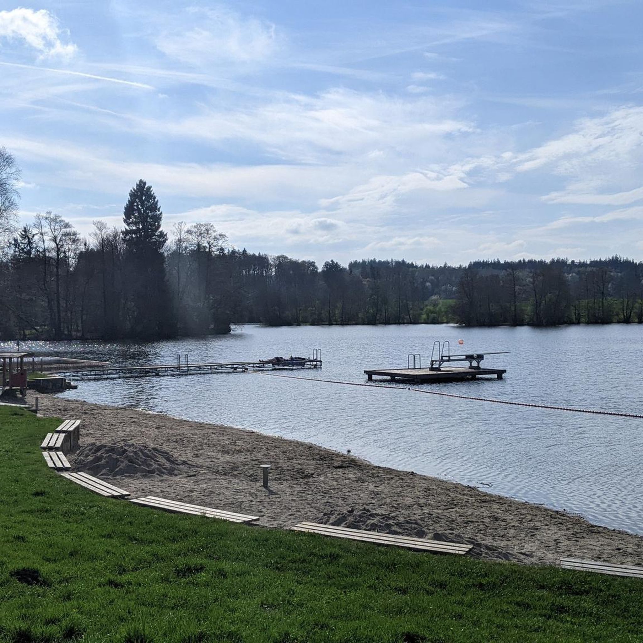
Gravel biking around Leitgeringer Lake offers routes through a serene, hilly landscape in the northern Chiemgau region. The area features dense forests, deciduous trees, and reeds along the lake's irregular contours and bays. To the west, the Astener Moos wetland area contributes to the diverse natural environment, while the nearby Salzach river and Austrian border add to the regional character. The terrain provides a mix of paved and unpaved surfaces, suitable for gravel bikes.
Best gravel bike trails around Leitgeringer…
Last updated: July 2, 2026
3.5
(2)
15
riders
32.4km
01:50
240m
240m
Moderate gravel ride. Good fitness required. Mostly paved surfaces. Suitable for all skill levels.
5.0
(1)
5
riders
Moderate gravel ride. Good fitness required. Mostly paved surfaces. Suitable for all skill levels.

Sign up for free
5.0
(1)
9
riders
50.5km
03:05
440m
440m
Moderate gravel ride. Good fitness required. Mostly paved surfaces. Suitable for all skill levels.
5.0
(1)
4
riders
34.3km
02:00
200m
200m
Moderate gravel ride. Good fitness required. Mostly paved surfaces. Suitable for all skill levels.
4.6
(7)
31
riders
30.1km
01:46
240m
240m
Moderate gravel ride. Good fitness required. Mostly paved surfaces. Suitable for all skill levels.
Get access to more routes and recommendations from other explorers.
Sign up for free
Already have an account?
Our route recommendations are based on thousands of hikes, rides, and runs completed by other people on komoot.
Start today with a free account
Your next adventure awaits.
Login or Signup
Tips from the Community

The pilgrimage church of St. Coloman lies high above Lake Tachinger.
6
0
The baroque pilgrimage church of Maria Brunn is located on the Ponlachgraben and is beautifully and magnificently appointed. Behind the church is a special spring.
6
0
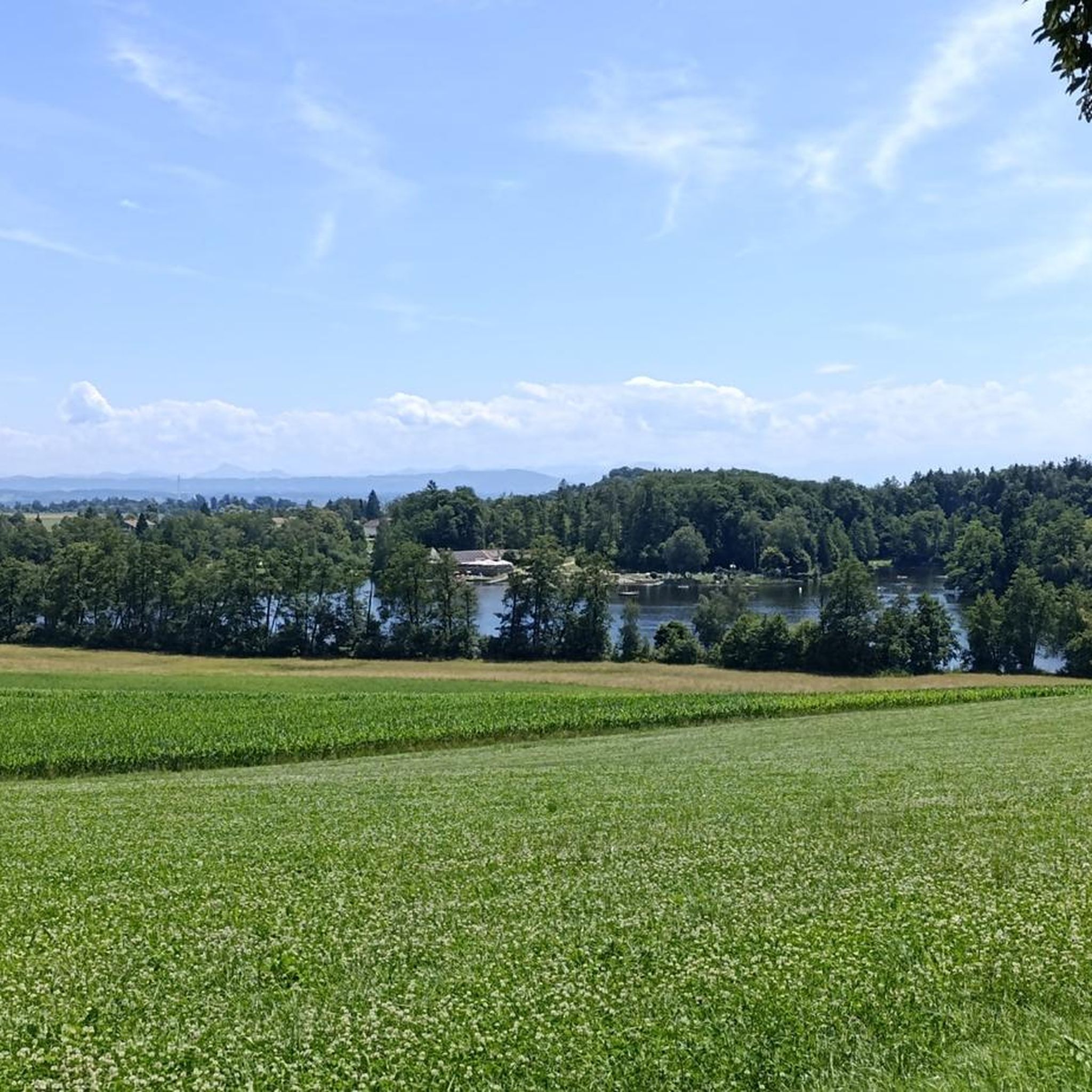
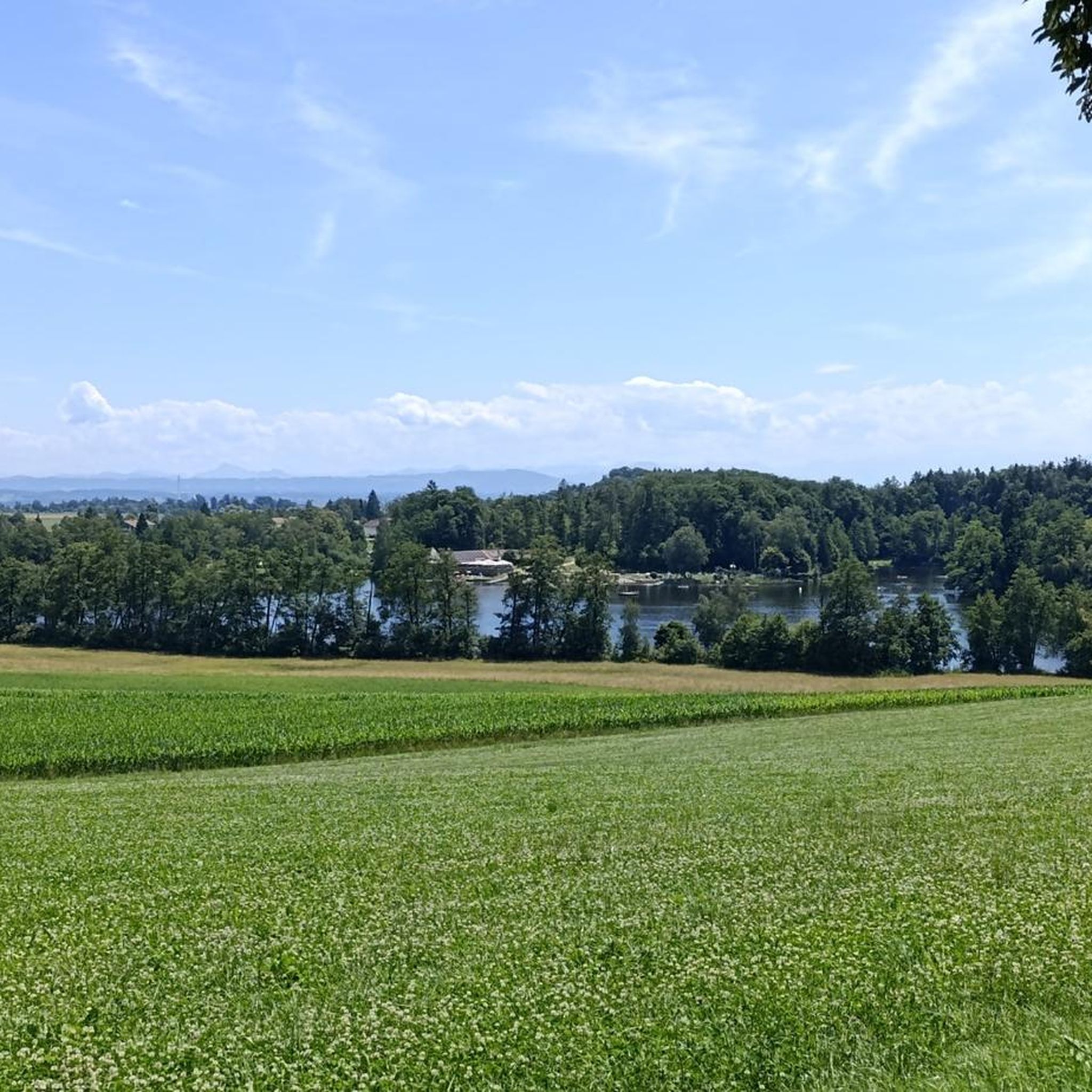
Since the Leitgeringer See likes to hide in the forest otherwise, it can be well observed from up here.
6
0

A beautiful view of the Waginger See as well.
1
0


The approach from Austria (Ettenau) is a bit tricky. It ends in a very steep ramp on a busy federal highway. So leave your bikes at the bottom or take a wide detour and enter the town square via the Laufen Gate. Have fun, visit the Ponlach Graben, the castle with its interesting museum, and the cafés on the town square and in the castle. The walk is worth it.
0
0

It is of course called Fridolfinger See.
0
0

Frequently Asked Questions
How many gravel bike trails are there around Leitgeringer Lake?
There are 15 gravel bike routes available around Leitgeringer Lake. These routes are highly rated by the komoot community, with an average score of 4.4 stars from over 10 reviews.
What kind of terrain can I expect on gravel bike trails near Leitgeringer Lake?
The terrain around Leitgeringer Lake offers a diverse mix of paved and unpaved surfaces, ideal for gravel biking. You'll encounter dense forests, hilly landscapes, and wetland areas like the Astener Moos. Some paths are predominantly paved, while others feature challenging unpaved segments that provide a true gravel biking experience.
What is the best time of year for gravel biking around Leitgeringer Lake?
The region around Leitgeringer Lake is beautiful year-round. However, for gravel biking, spring through autumn generally offers the most pleasant weather conditions. The lake is also known for winter activities like ice-skating, so colder months might present different challenges and scenery.
Are there challenging gravel bike routes in the Leitgeringer Lake area?
Yes, while many routes are moderate, there is at least one difficult gravel bike route available. The area offers a range of options, from predominantly paved paths to more challenging unpaved segments, catering to different fitness levels and preferences.
Are there any circular gravel bike routes around Leitgeringer Lake?
Many of the gravel bike routes around Leitgeringer Lake are designed as loops. For example, the Tittmoning Castle – Tittmoning Town Square loop from Tittmoning is a moderate 50.5 km route that takes you through varied terrain. Another option is the Fridolfinger See – Tittmoning Castle loop from Tittmoning, covering 34.1 km.
What points of interest or natural features can I see along the gravel bike trails?
Gravel biking around Leitgeringer Lake offers scenic views of the lake itself, which is nestled in a landscape protection area with dense forests and reeds. You can also explore the Astener Moos wetland area to the west. On clear days, the elevated village of Leitgering to the north provides breathtaking distant views of the southern Alpine panorama. Historic sites like Tittmoning Castle are also often part of the routes.
Where can I park my car when gravel biking around Leitgeringer Lake?
Parking is generally available in and around the towns and villages near Leitgeringer Lake, such as Tittmoning. Specific parking spots for trailheads can often be found by checking the details of individual routes on komoot.
Is public transport available to Leitgeringer Lake for cyclists?
Public transport options to the Leitgeringer Lake area, particularly to nearby towns like Tittmoning, exist. It's advisable to check local bus or train schedules and their policies regarding bicycle transport in advance, especially if you plan to bring your bike on board.
Are there cafes or accommodation options near the gravel bike routes?
Yes, the area around Leitgeringer Lake and the nearby charming town of Tittmoning offer various cafes, restaurants, and accommodation options. You'll find places to refuel and relax after your ride, with some establishments likely to be cyclist-friendly.
Are there family-friendly gravel bike routes around Leitgeringer Lake?
The region offers routes suitable for different ability levels, including paths that are predominantly paved and less challenging, which can be suitable for families. The lake area itself has children's playgrounds and other amenities, making it a good destination for family outings.
Can I bring my dog on the gravel bike trails around Leitgeringer Lake?
While the region is generally outdoor-friendly, specific rules regarding dogs on trails can vary. It's always best to keep dogs on a leash and ensure they are well-behaved, especially in nature protection areas or near livestock. Check local regulations for any specific restrictions.
What is the average difficulty of gravel bike routes in this area?
Most of the gravel bike routes around Leitgeringer Lake are classified as moderate. Out of 15 available routes, 14 are moderate, and one is difficult. This means you can expect a good balance of accessible and more challenging rides.
How long do gravel bike trails around Leitgeringer Lake typically take?
The duration of gravel bike trails varies depending on the route and your pace. For example, the popular Pilgrimage Church of Marienberg – Tittmoning Town Square loop from Furth, which is 32.4 km, typically takes about 1 hour 49 minutes. Longer routes, like the Tittmoning Castle – View of Lake Taching (Tachinger See) loop from Tittmoning (29.0 km), might take around 2 hours 6 minutes.
Most popular routes around Leitgeringer Lake

Get inspired with the komoot mobile app


Explore more
Browse the best Gravel rides in other regions.
