The best gravel rides around Höglwörther Lake
4.5
(154)
1,123
riders
24
rides
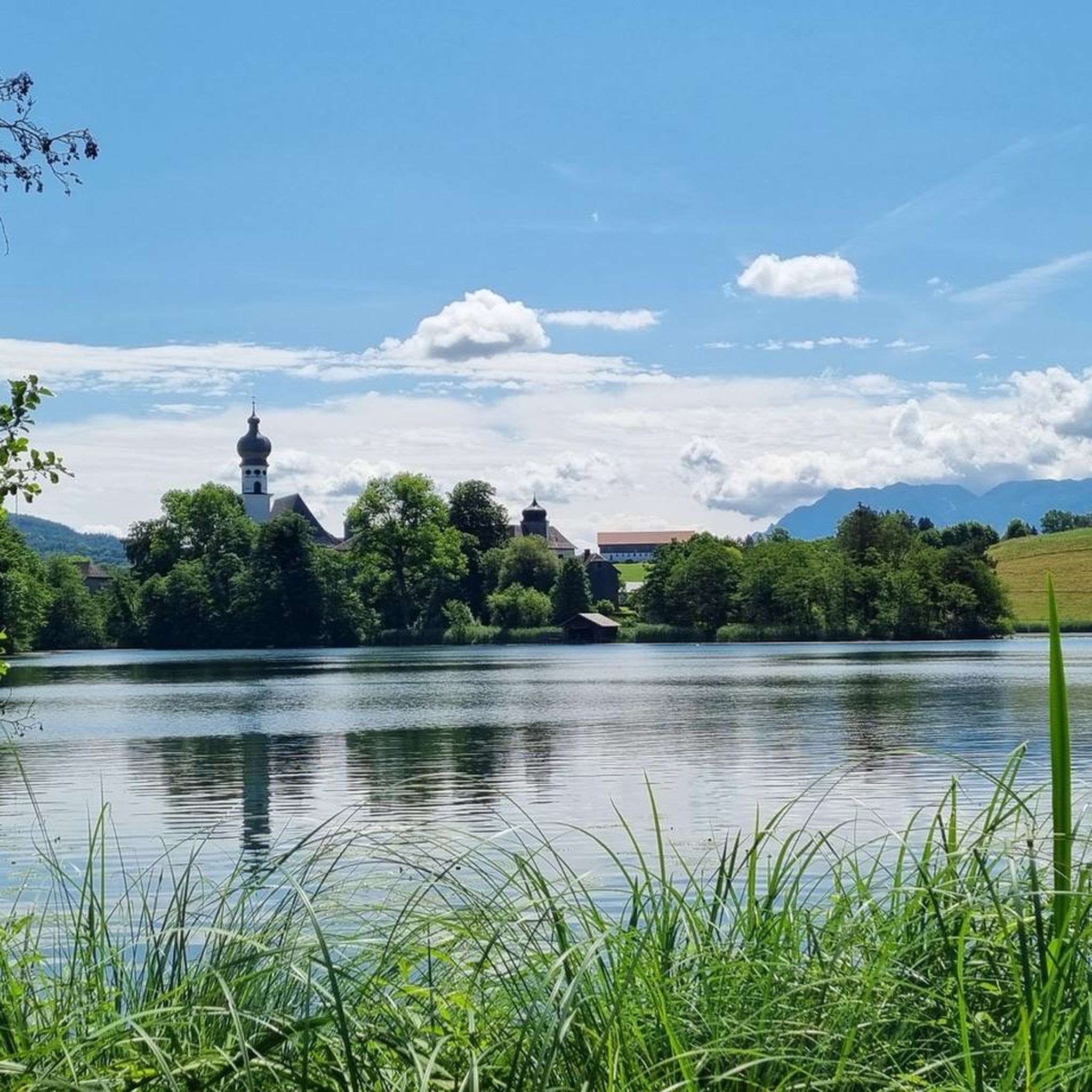
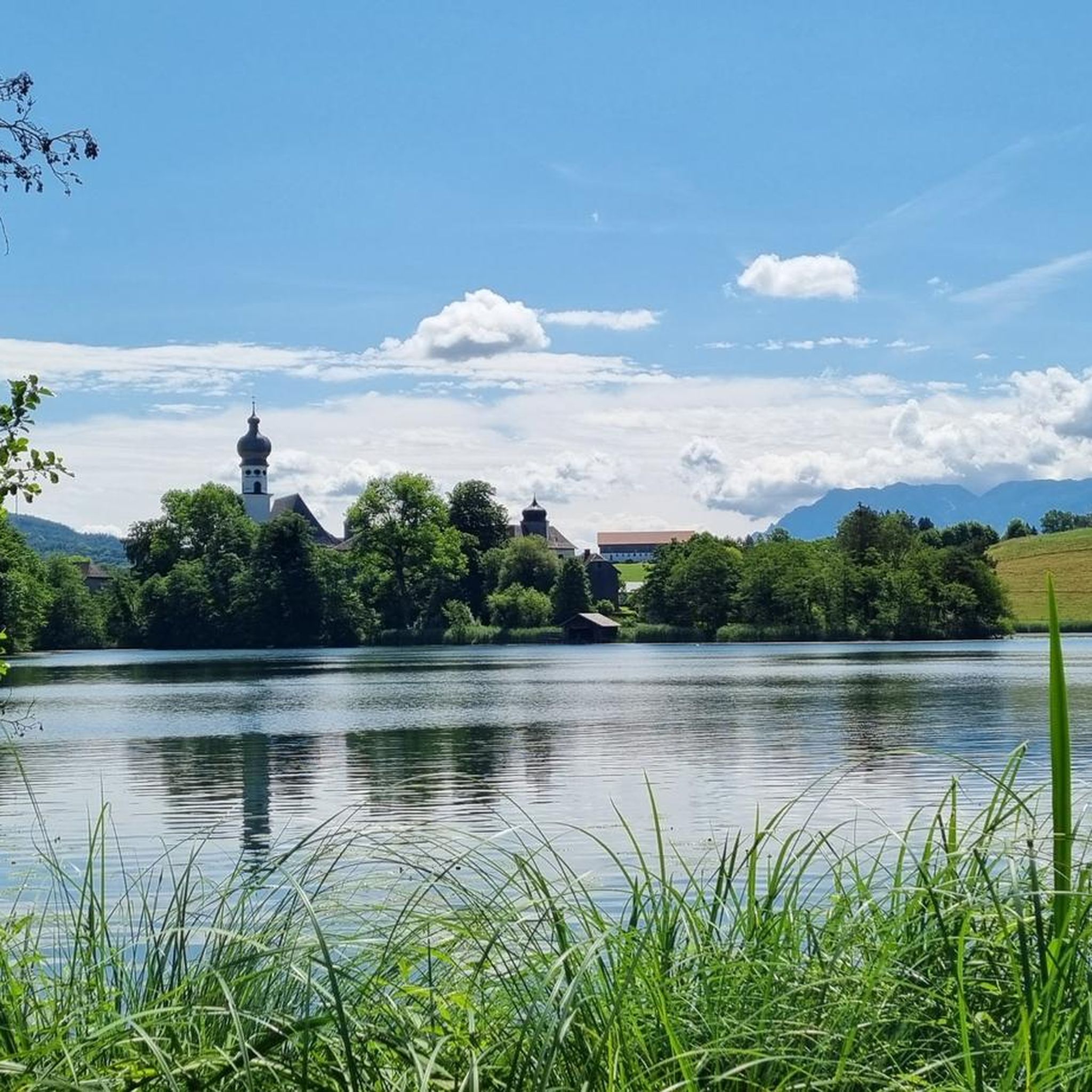
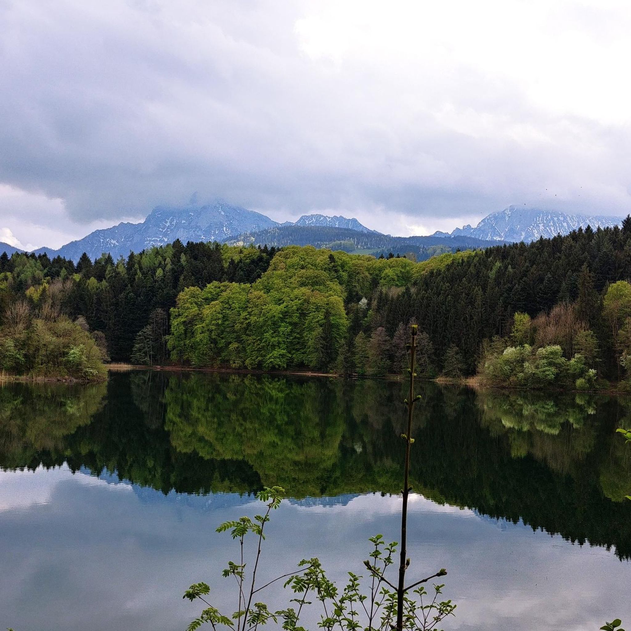
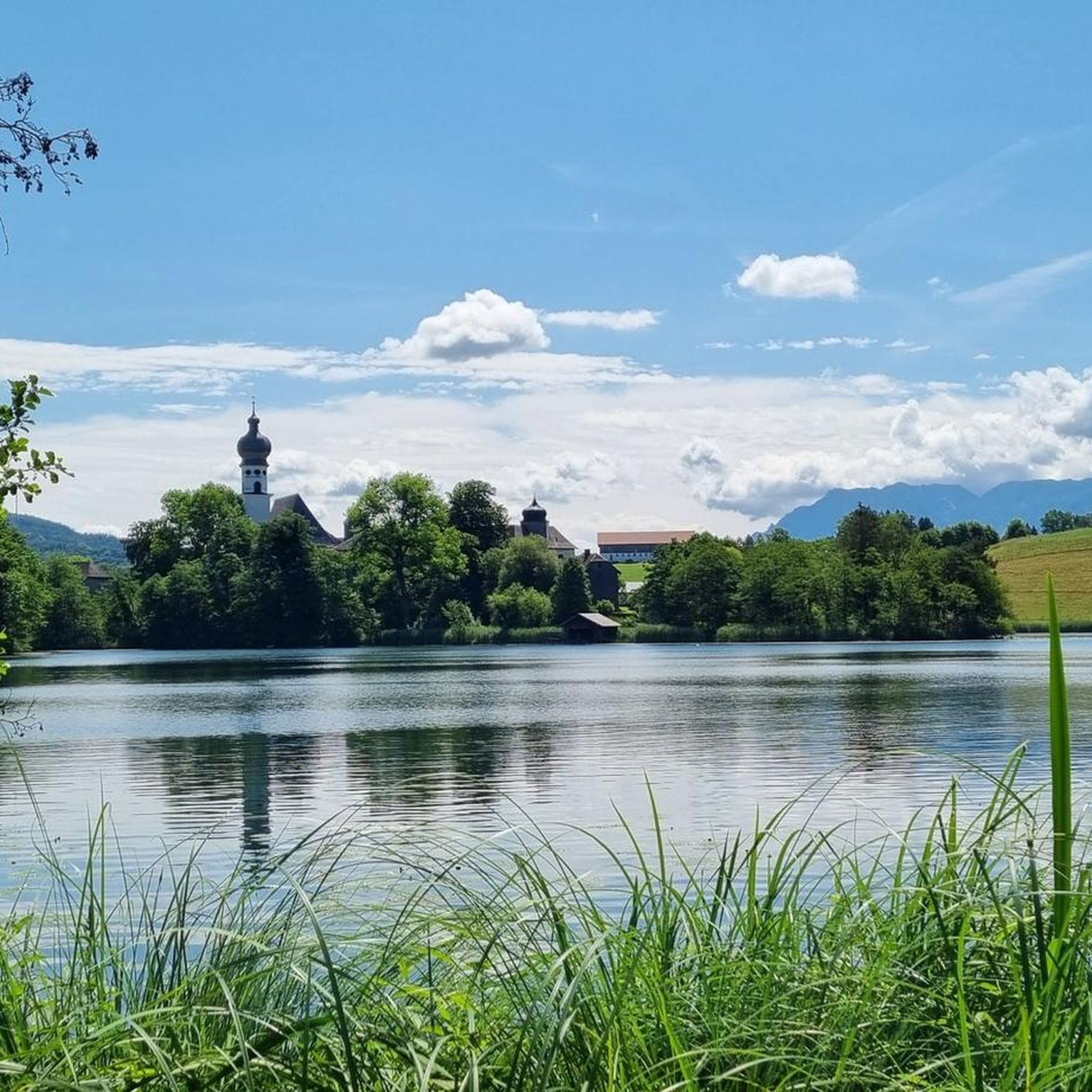
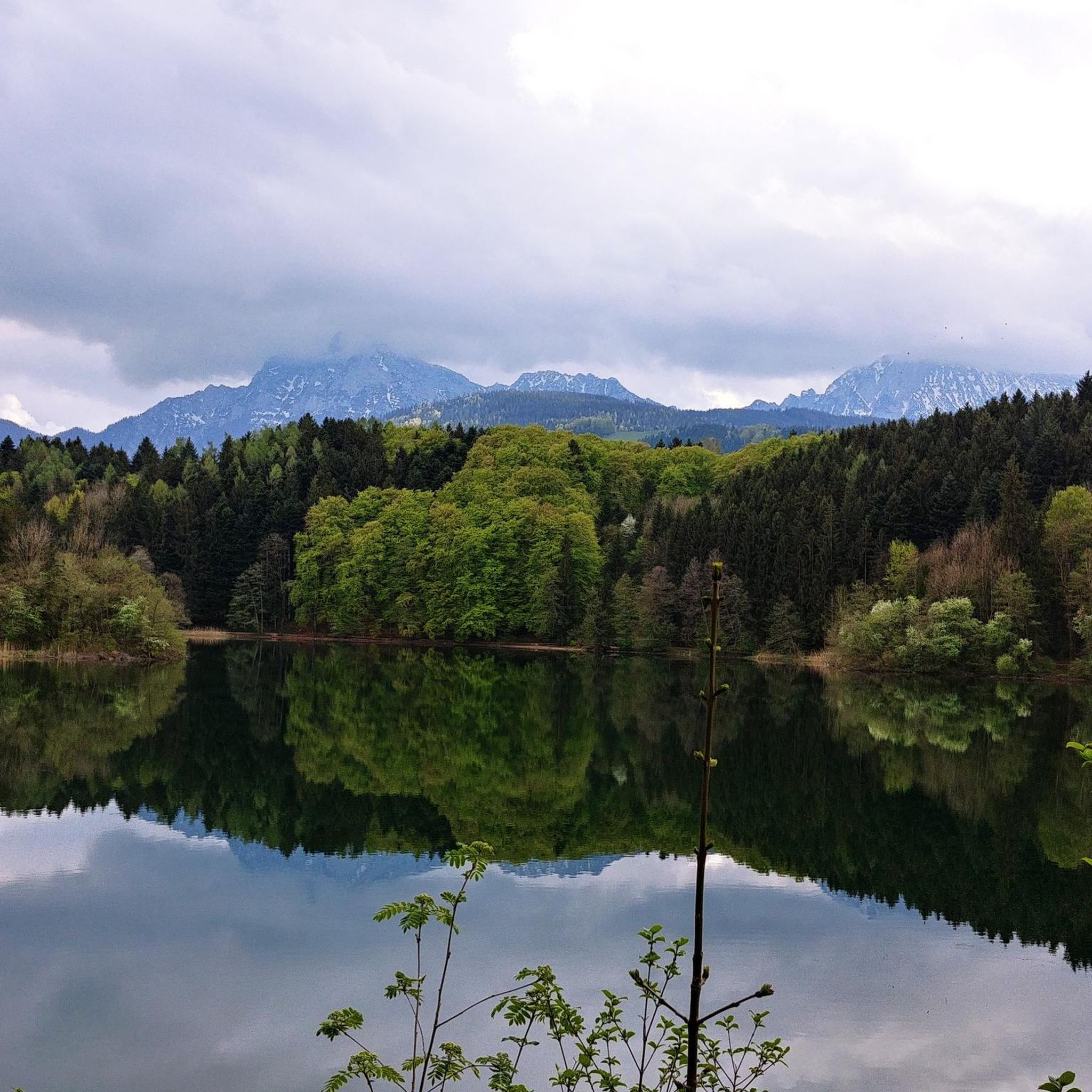
Gravel biking around Höglwörther Lake offers diverse terrain within the Berchtesgadener Land biosphere reserve. The region features a landscape of mixed forests, meadow banks, and the lake itself, providing varied surfaces for cycling. Routes include both paved sections and unpaved gravel trails, forest paths, and tranquil rural roads. This environment allows for exploration away from heavy traffic, with terrain ranging from gentle gradients to challenging ascents.
Best gravel bike trails around Höglwörther Lake
- The most popular gravel bike trail is Surspeicher Reservoir – View of the Mountains loop from Anger, a 29.1 miles (46.8 km) trail that takes 2 hours 52 minutes to complete. This moderate route offers views of the surrounding mountains and reservoir.
- Another top favourite among local gravel bikers is Stoisser Alm – Ascent to Stoisser Alm loop from Anger, a difficult 11.9 miles (19.1 km) path. This route features a significant ascent towards Stoisser Alm, providing a challenging ride through the hilly landscape.
- Local gravel bikers also love the View of the Chiemgau Alps – Stoisser Alm loop from Teisendorf, a 16.8 miles (27.1 km) trail leading through forests and open areas with views of the Chiemgau Alps, often completed in about 2 hours 20 minutes.
- Gravel biking around Höglwörther Lake is defined by the serene lake, mixed forests, and varied unpaved paths. The network offers options for different ability levels, from moderate rides to more challenging routes with significant elevation gain.
- The routes in Höglwörther Lake are highly rated by the komoot community with an average score of 4.6 stars from over 150 reviews. More than 1,300 gravel bikers have used komoot to explore Höglwörther Lake's varied terrain.
Last updated: October 19, 2026
5.0
(5)
23
riders
46.8km
02:46
440m
440m
Moderate gravel ride. Good fitness required. Mostly paved surfaces. Suitable for all skill levels.
5.0
(1)
24
riders
19.3km
01:41
730m
730m
Hard gravel ride. Very good fitness required. Mostly paved surfaces. Suitable for all skill levels.

6
riders
Moderate gravel ride. Good fitness required. Mostly paved surfaces. Suitable for all skill levels.
5.0
(4)
18
riders
29.8km
02:19
870m
870m
Hard gravel ride. Very good fitness required. Mostly paved surfaces. Suitable for all skill levels.
4.7
(3)
31
riders
25.2km
02:09
860m
860m
Hard gravel ride. Very good fitness required. Mostly paved surfaces. Suitable for all skill levels.
Get access to more routes and recommendations from other explorers.
Already have an account?
Our route recommendations are based on thousands of hikes, rides, and runs completed by other people on komoot.
Start today with a free account
Your next adventure awaits.

Tips from the Community

The small chapel is located in the middle of the forest and there is a resting place next to it. Inside there is space for approx. 2 people. 😉
4
0

According to legend, the origin of the chapel can be traced back to a hunter. He had a high seat on the "Moari-Tann" border fir that stood here at the time. One day, when he fell from it, a shot was fired, but did not wound the hunter. Out of gratitude, he then attached a votive panel to the fir. In the following period, the tree probably developed into a place of pilgrimage and many pilgrims hung their crutches and offering boxes in the tree. In 1899, the farmers from the "Schnaitter Viertel" built today's Maria-Tann forest chapel on the site where the border fir stood. The fate of the old fir is unknown.
1
0

On the way there are such beautiful little waterfalls
0
0


Two great mountains.
0
0
Always good food up there
0
0

There are several routes to the Stoißer Alm. I drove up from Hammer. A very nice alpine pasture with a restaurant. Great views of the surrounding mountains.
0
0

The landscape is perfect for the bike paths. It's beautifully maintained, and the stunning scenery and the climbs and descents ensure it never gets boring.
1
0
Frequently Asked Questions
How many gravel bike trails are available around Höglwörther Lake?
There are over 50 gravel bike trails around Höglwörther Lake, offering a wide range of options for different skill levels. This includes 2 easy, 26 moderate, and 24 difficult routes.
What kind of terrain can I expect on gravel bike trails near Höglwörther Lake?
The terrain around Höglwörther Lake is quite diverse. You'll encounter a mix of paved sections, unpaved gravel trails, forest paths, and tranquil rural roads. The landscape features mixed forests, meadow banks, and the lake itself, providing varied surfaces and scenic views.
What natural attractions can I see along the gravel bike trails near Höglwörther Lake?
While gravel biking, you can explore several natural highlights. The beautiful Höglwörth Lake itself is a central feature, and to its west, you can find a stunning cascade waterfall that plunges over 30 meters through the forest.
Are there any historical landmarks or points of interest to explore while gravel biking?
Absolutely. The prominent Höglwörth Monastery, a former Augustinian monastery founded in 1125, is situated on a peninsula in the lake. Its Rococo church and picturesque courtyard make it a significant cultural focal point and a scenic stop on your ride.
Are there gravel bike routes suitable for beginners or families around Höglwörther Lake?
Yes, there are a few easier routes, with 2 trails specifically rated as easy. Many of the moderate routes also offer sections suitable for those with good basic fitness, often on mostly paved or well-maintained gravel paths. For a family-friendly experience, consider routes that stick closer to the lake or avoid significant elevation gains.
Are the gravel bike trails around Höglwörther Lake dog-friendly?
Many of the gravel trails and forest paths around Höglwörther Lake are suitable for cycling with dogs, provided they are well-behaved and kept on a leash where necessary. Always be mindful of other trail users and local regulations, especially in nature conservation areas.
What is the best time of year for gravel biking around Höglwörther Lake?
The region is beautiful year-round, but spring, summer, and autumn offer the most pleasant conditions for gravel biking. In autumn, the mixed forests display vibrant colors, while summer provides opportunities for swimming in designated areas of the lake. Winter conditions can vary, with some trails potentially being snowy or icy.
Are there any circular gravel bike routes around Höglwörther Lake?
Yes, many of the gravel bike routes in the area are designed as loops, allowing you to start and end at the same point. For example, the Saalach Bridge near Piding – Staufen Bridge loop from Teisendorf is a moderate circular route that offers diverse scenery.
What do other gravel bikers say about the trails around Höglwörther Lake?
The gravel biking routes around Höglwörther Lake are highly rated by the komoot community, with an average score of 4.6 stars from over 150 reviews. More than 1,300 gravel bikers have explored the varied terrain, often praising the serene lake, mixed forests, and the blend of challenging and scenic paths.
What is the most challenging gravel bike route in the area?
For a significant challenge, consider the Ascent to Stoisser Alm – Stoisser Alm loop from Teisendorf. This difficult 29.5 km route features substantial elevation gain, making it ideal for experienced gravel bikers looking for a demanding ride.
Where can I find parking for gravel biking around Höglwörther Lake?
Parking is generally available at various points around the lake and in nearby towns like Anger or Teisendorf, which serve as common starting points for many routes. Look for designated parking areas, especially near trailheads or local attractions.
Is it possible to reach the gravel bike trails around Höglwörther Lake by public transport?
Yes, the region is accessible by public transport, particularly to nearby towns such as Anger and Teisendorf. From these locations, you can often connect directly to the gravel biking network. Check local bus or train schedules for the most convenient options to transport yourself and your bike.
Are there places to eat or stay near the gravel bike routes?
The area around Höglwörther Lake offers various options for refreshments and accommodation. You'll find cafes and restaurants in nearby villages, and there are guesthouses and hotels for overnight stays, especially in towns like Anger and Teisendorf, which are popular starting points for tours.
Most popular routes around Höglwörther Lake
Most popular attractions around Höglwörther Lake

Get inspired with the komoot mobile app


Explore more
Browse the best Gravel rides in other regions.
