The best gravel rides around Ruppiner Lake
4.7
(31)
130
riders
14
rides
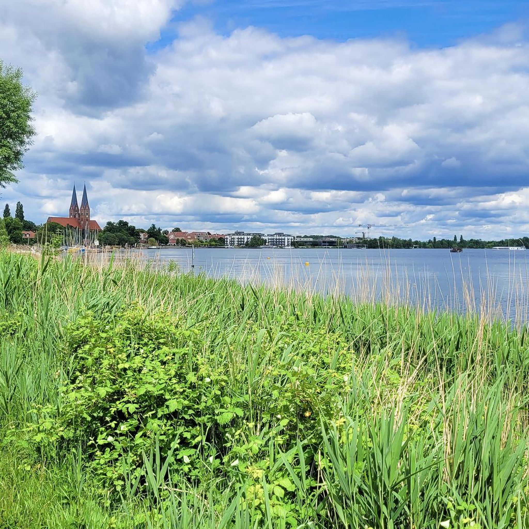
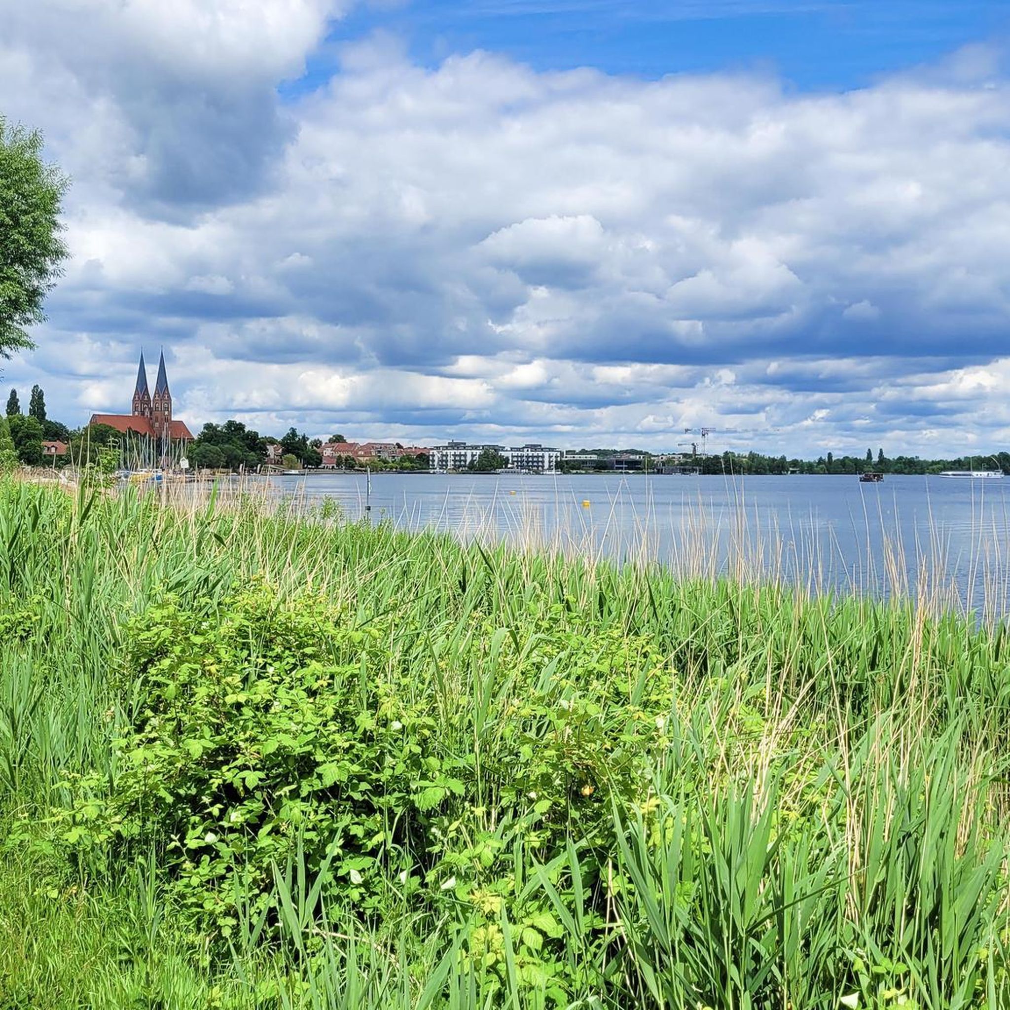
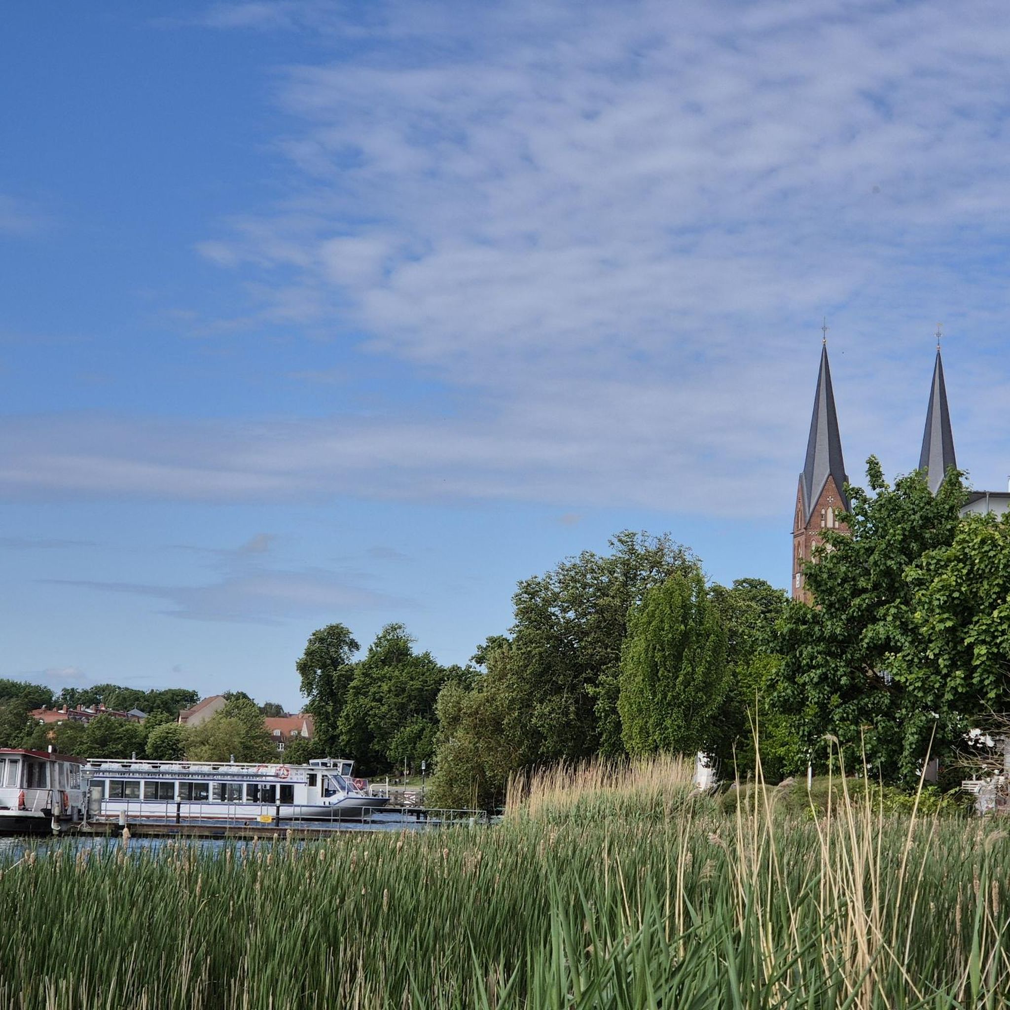
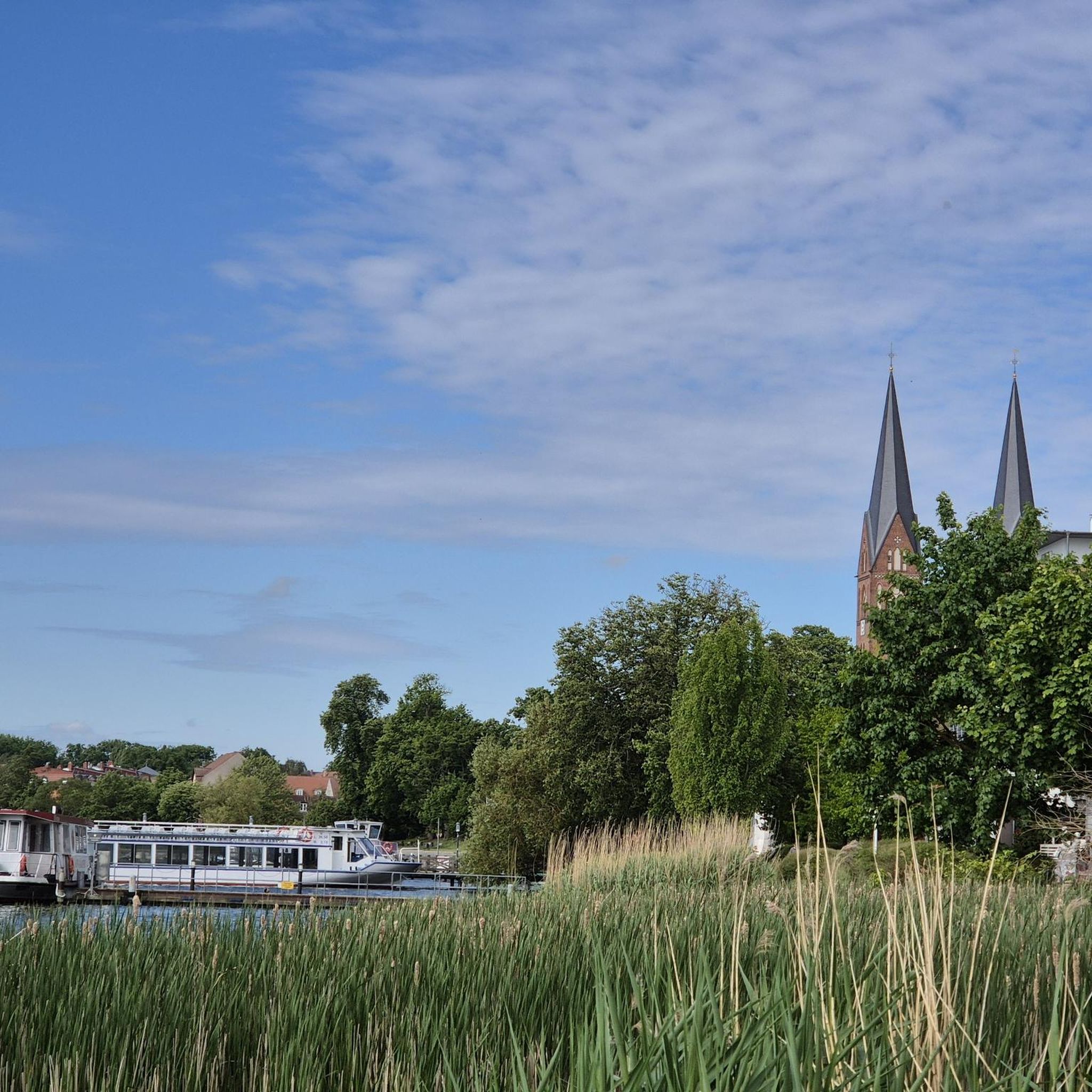
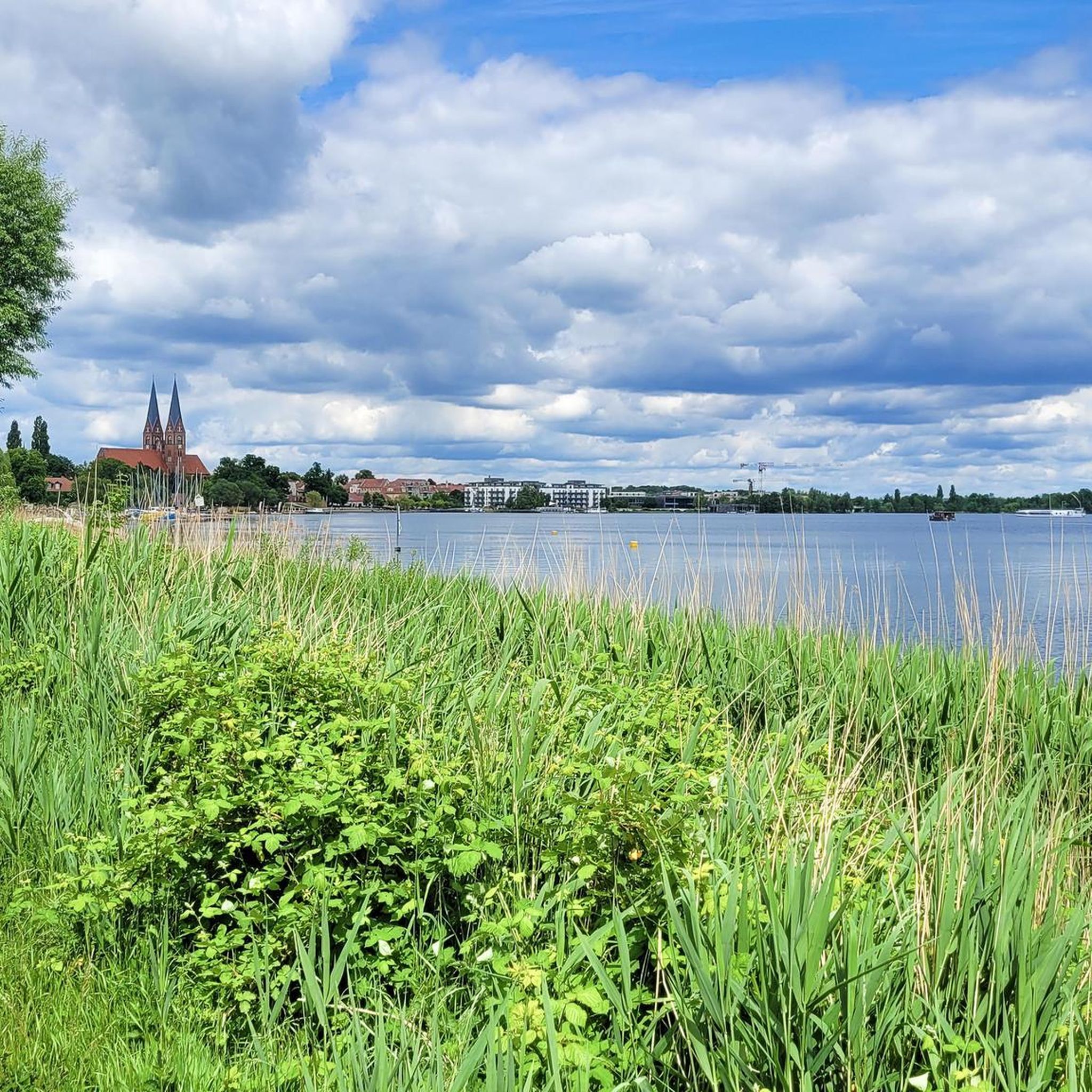
Gravel biking around Ruppiner Lake offers routes through a diverse landscape in Brandenburg, Germany. The region is characterized by the elongated Ruppiner Lake, which is the longest in Brandenburg, and a network of other clear lakes and waterways. Gravel bike trails often follow picturesque lakeshores, cross river courses like the Rhin, and traverse dense forests, moorland, and heathland. The terrain includes a mix of surfaces, from mostly paved sections to unpaved paths, with some routes featuring hills.
Best gravel bike…
Last updated: July 2, 2026
5.0
(1)
19
riders
69.4km
04:33
380m
380m
Hard gravel ride. Good fitness required. You may need to push your bike for some segments of this route.
5.0
(2)
24
riders
Moderate gravel ride. Good fitness required. Mostly paved surfaces. Suitable for all skill levels.

Sign up for free
4.5
(2)
8
riders
34.1km
02:13
190m
190m
Moderate gravel ride. Good fitness required. Mostly paved surfaces. Suitable for all skill levels.
5
riders
50.7km
03:35
190m
190m
Moderate gravel ride. Good fitness required. Mostly paved surfaces. Suitable for all skill levels.
4.0
(3)
10
riders
23.2km
01:24
90m
90m
Easy gravel ride. Great for any fitness level. Mostly paved surfaces. Suitable for all skill levels.
Get access to more routes and recommendations from other explorers.
Sign up for free
Already have an account?
Our route recommendations are based on thousands of hikes, rides, and runs completed by other people on komoot.
Start today with a free account
Your next adventure awaits.
Login or Signup
Tips from the Community

Great cycle path. Nicely wide and with a good surface.
0
0


The hiking and mountain bike trail around Lake Tornow is undoubtedly one of the most beautiful in Ruppiner Schweiz. The 132-hectare lake is located in the middle of a nature and landscape conservation area.
0
0

The 129-kilometer-long Rhin is a right tributary of the Havel in Brandenburg and, with a catchment area of 1,780 km², the third largest.
3
0
This is the way to Lake Molchow. A quiet body of water with some lovely swimming spots.
3
0
The river rises in the Ostprignitz-Ruppin district, about 8.5 kilometers west of Rheinsberg. Its source lies on the southern edge of the Mecklenburg Lake District in the Rheinsberg Lake District, just a few hundred meters west of the small settlement of Wallitz. From there, the Rhin flows through several small and large lakes (Bramin, Kagar, Dollgow, Schlaborn, Rheinsberger, and Grienericksee) to Rheinsberg. This more traditional version is contradicted by scientific research, according to which the Rhin rises in Lake Twern, about twelve kilometers northwest of Rheinsberg, and flows via Lake Rochow, Lake Giesenschlag, Lake Zootzen, and Lake Tietzow into Lake Schlaborn.
3
0

The Kalksee is a lake with no connection to other lakes and is therefore spared from water tourism. There are two designated bathing areas that are very popular in summer. The rest of the beautiful nature is a nature reserve and certain excesses are off limits.
0
0
In Ruppiner Schweiz you really don't feel like you are in Brandenburg. The Kalksee is highly recommended for swimming due to its excellent water quality - but only at designated bathing areas, as the area is completely protected as a nature reserve and corresponding rules apply.
1
0
Frequently Asked Questions
What kind of terrain can I expect on gravel bike trails around Ruppiner Lake?
The region offers a diverse mix of surfaces. You'll find routes that are mostly paved, alongside unpaved paths through dense forests, moorland, and heathland. Many trails wind along picturesque lakeshores and cross river courses like the Rhin, providing varied riding experiences.
Are there gravel bike routes suitable for beginners or families around Ruppiner Lake?
Yes, the Ruppiner Lake area caters to various skill levels. There are 7 easy routes available, perfect for beginners or family outings. An example of a shorter, easy ride is the Lakeside path – View of the Rhin River loop from Neuruppin Rheinsberger Tor, which is just over 11 km long.
What are some of the natural features or landscapes I'll encounter on these trails?
Beyond Ruppiner Lake itself, which is the longest in Brandenburg, the region is part of the Ruppiner Seenland, home to over a hundred clear lakes. You'll cycle through dense forests, along river courses like the Rhin, and discover areas of moorland and heathland. The landscape was shaped by glacial formations, giving it a unique character.
Are there any notable landmarks or attractions to see along the gravel routes?
Absolutely. Many routes offer views of the elongated Ruppiner Lake. You can also pass by the Ruppiner Lake near Treskow, or explore Neuruppin, known for its classicist old town. The town's promenade features the impressive Parzival at the Lake sculpture. The Neuruppiner Bollwerk also offers scenic views.
What do other gravel bikers enjoy most about cycling around Ruppiner Lake?
The komoot community rates the gravel biking experience around Ruppiner Lake highly, with an average score of 4.8 stars from over 20 reviews. Riders often praise the extensive network of lakeshores, diverse river courses, and dense forests, which provide varied and scenic routes for all ability levels.
Are there any longer or more challenging gravel bike routes available?
Yes, for those seeking a challenge, there are 3 difficult routes. The longest and most demanding is the Alt Ruppin Lock – Kalksee loop from Wustrau-Radensleben, covering nearly 75 km with over 400 meters of elevation gain, typically taking almost 6 hours to complete.
Can I find routes that form a loop around Ruppiner Lake or other areas?
Many of the gravel bike trails in the region are designed as loops. For instance, the Kalksee – Bolten Mill loop from Neuruppin Rheinsberger Tor takes you around Kalksee and past the historic Bolten Mill, offering a moderate 35 km ride.
What is the best time of year for gravel biking around Ruppiner Lake?
The Ruppiner Seenland is beautiful throughout the warmer months. Spring and autumn offer pleasant temperatures and vibrant scenery, while summer allows for combining rides with swimming in the clear lakes. Always check local weather conditions before heading out.
Are there options for parking near the gravel bike trails?
Yes, towns like Neuruppin, located on the southwest shore of Ruppiner Lake, serve as good starting points and typically offer parking facilities. Many routes also start from smaller villages around the lake, where parking might be available.
How accessible are the gravel bike trails by public transport?
Neuruppin, a central hub in the region, is generally well-connected by public transport, making it a convenient starting point for many routes. From there, you can often access various trails or connect to smaller towns and villages around the lake.
Are there any routes that follow river courses?
Yes, the region's network of waterways includes rivers like the Rhin. The Alt Ruppin Lock – View of the Rhin River loop from Neuruppin Rheinsberger Tor is a popular 42.5 km trail that leads along the Rhin River, offering scenic views of the water.
Are there any moderate-difficulty routes that are a good balance of distance and challenge?
Certainly. The region has 10 moderate routes. A good option is the Molchow Bridge – Rottstielfließ loop from Neuruppin Rheinsberger Tor. This route is about 51 km long and offers a balanced challenge through varied landscapes.
Most popular routes around Ruppiner Lake
Most popular attractions around Ruppiner Lake

Get inspired with the komoot mobile app


Explore more
Browse the best Gravel rides in other regions.
