The best gravel rides around Binnenalster
4.4
(1587)
6,945
riders
92
rides
Gravel biking around Binnenalster features routes that traverse a landscape characterized by urban waterways, surrounding parklands, and access to more expansive natural areas. The region offers a mix of paved and unpaved paths, connecting the city's central lake with outer forests and river systems. Terrain includes flat sections along the Alster and Elbe rivers, with some routes extending into areas with gentle elevation changes.
Best gravel bike trails around Binnenalster
- The most popular gravel bike trail is From the Alster…
Last updated: July 3, 2026
4.6
(37)
263
riders
69.6km
04:41
220m
220m
Moderate gravel ride. Good fitness required. Some segments of this route may be unpaved and difficult to ride.
4.6
(53)
322
riders
Moderate gravel ride. Good fitness required. Mostly paved surfaces. Suitable for all skill levels.

Sign up for free
4.6
(282)
820
riders
35.2km
02:16
90m
90m
This moderate 21.9-mile (35.2 km) gravel biking route from Hamburg to the Lower Elbe offers scenic river views and passes through fruit orch
4.5
(81)
304
riders
58.5km
03:37
70m
70m
Hard gravel ride. Good fitness required. You may need to push your bike for some segments of this route.
4.3
(24)
119
riders
77.0km
05:25
270m
270m
Hard gravel ride. Very good fitness required. You may need to push your bike for some segments of this route.
Get access to more routes and recommendations from other explorers.
Sign up for free
Already have an account?
Our route recommendations are based on thousands of hikes, rides, and runs completed by other people on komoot.
Start today with a free account
Your next adventure awaits.
Login or Signup
Popular around Binnenalster
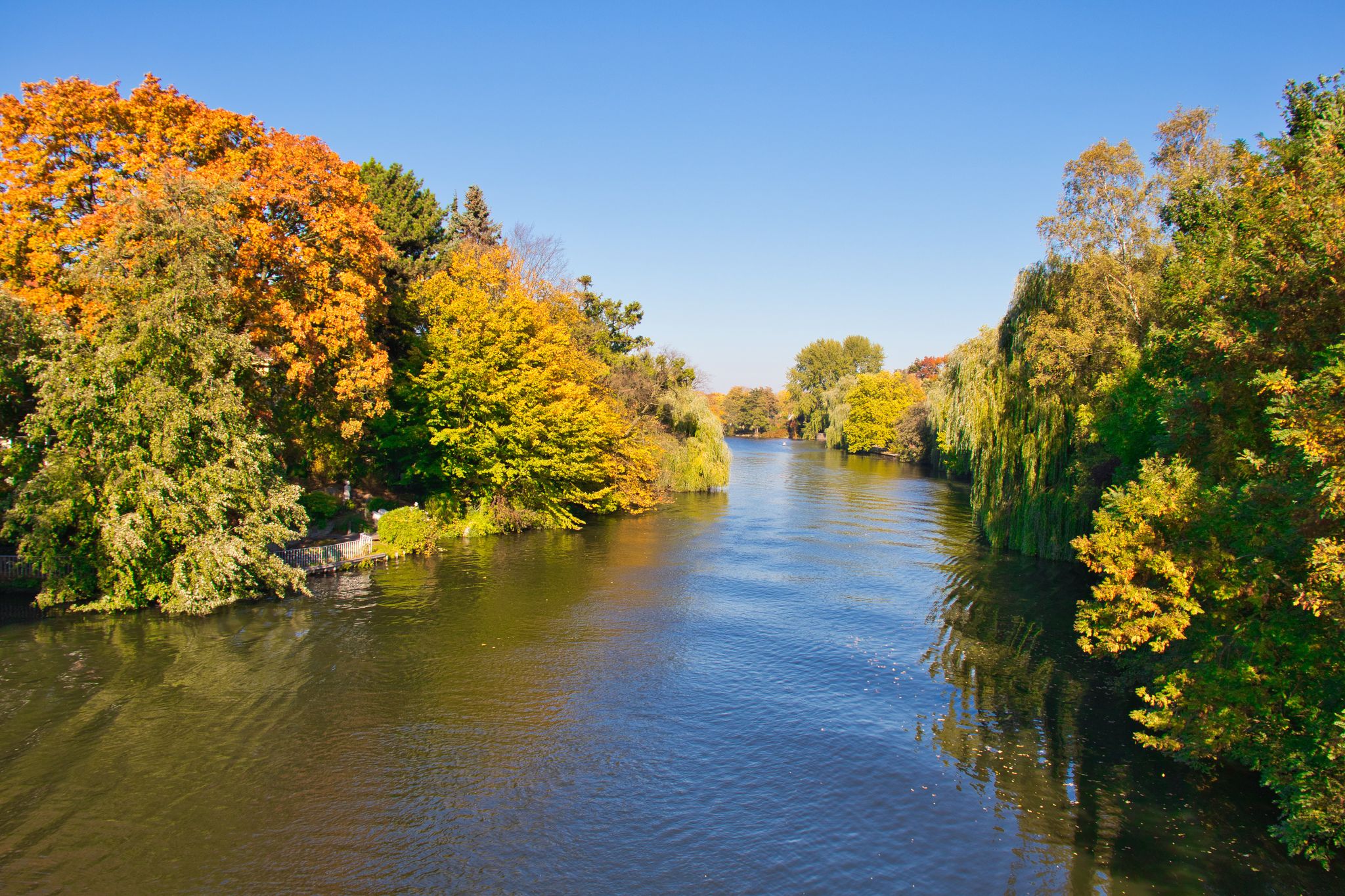
Colourful forests, moors & heathlands – cycling in Hamburg in autumn
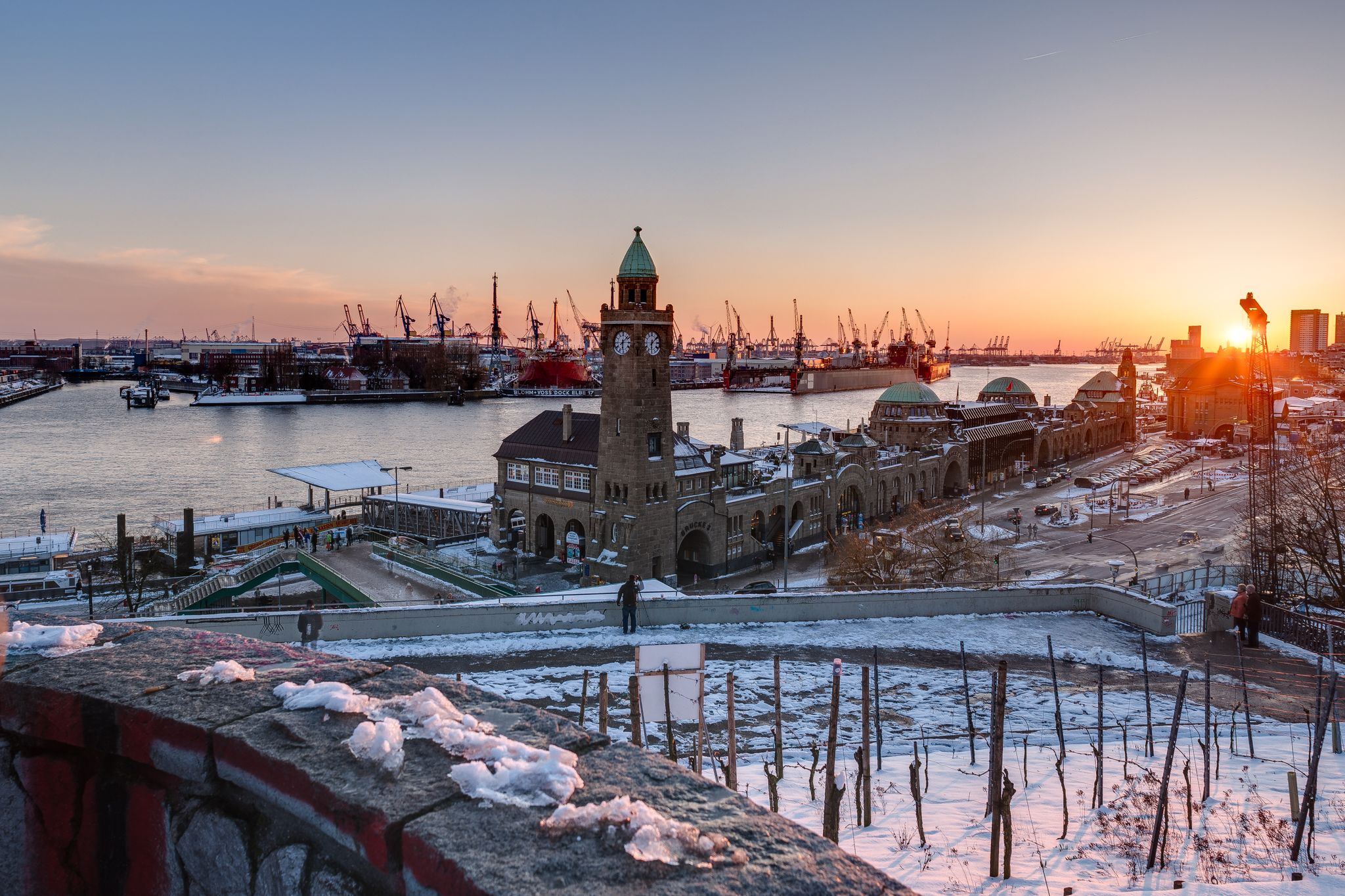
Rediscover Hamburg on your bicycle
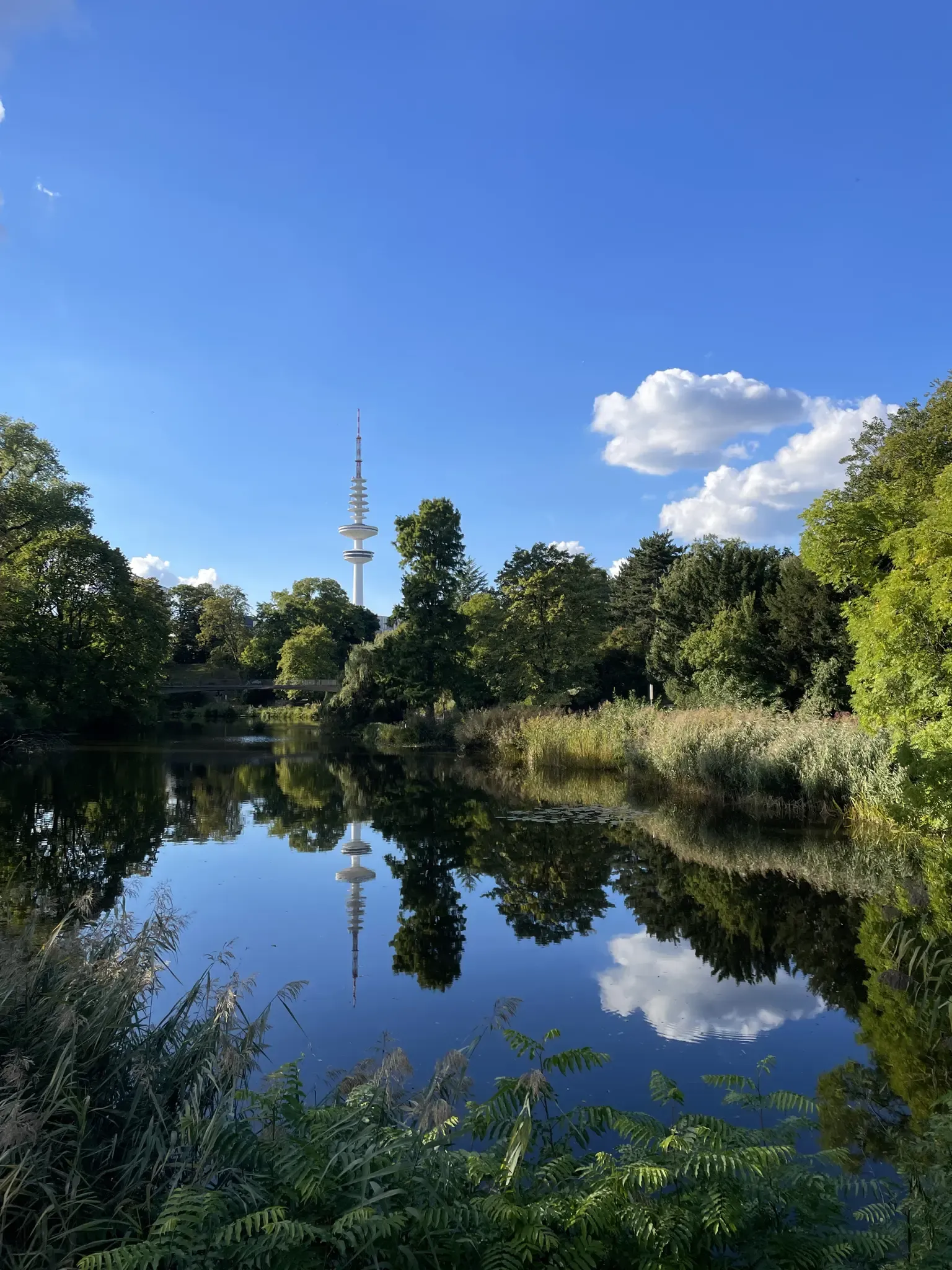
Einfach durch Hamburg
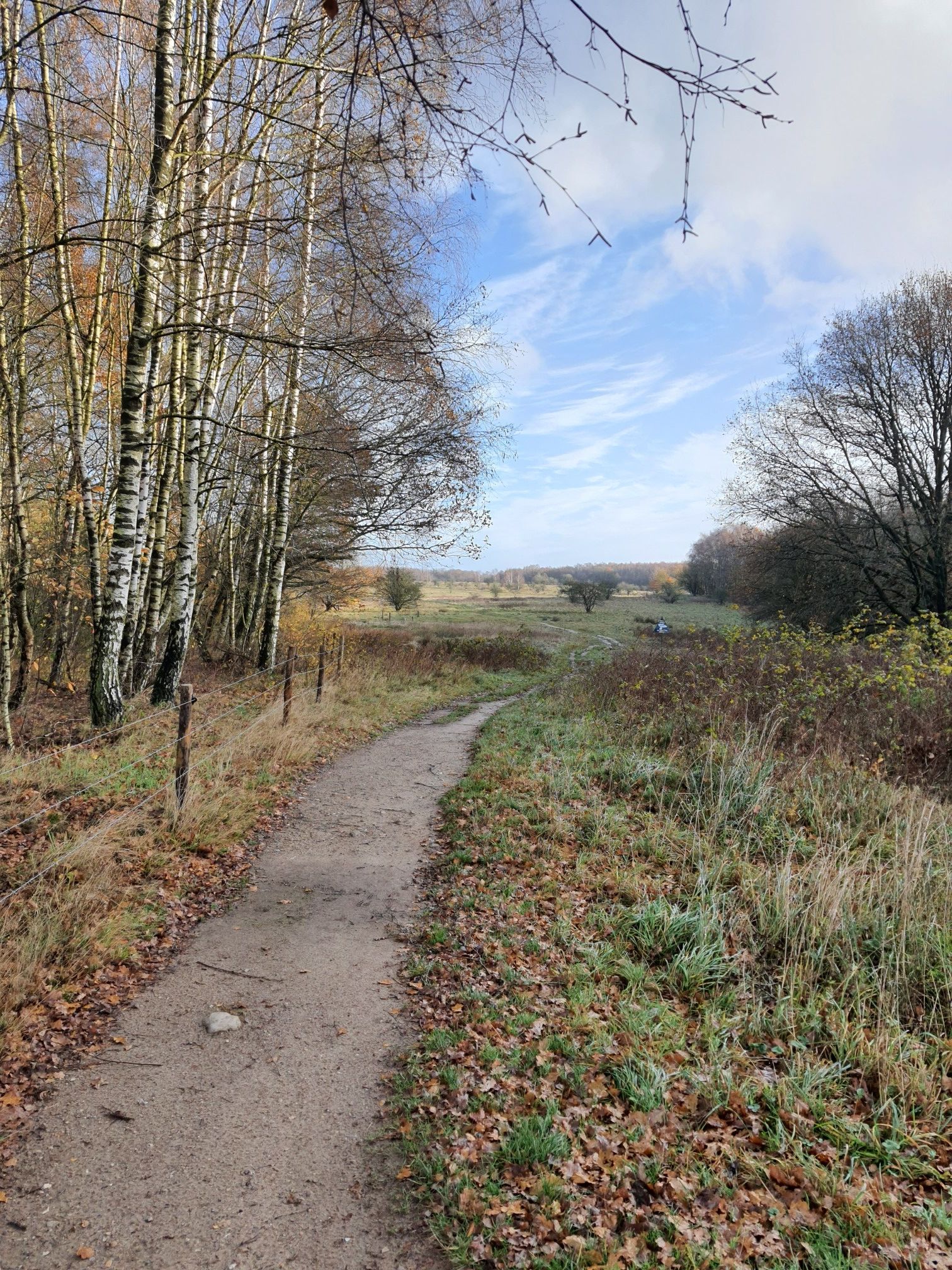
Wälder erradeln & Bäume pflanzen – Fahr ein schöneres Hamburg
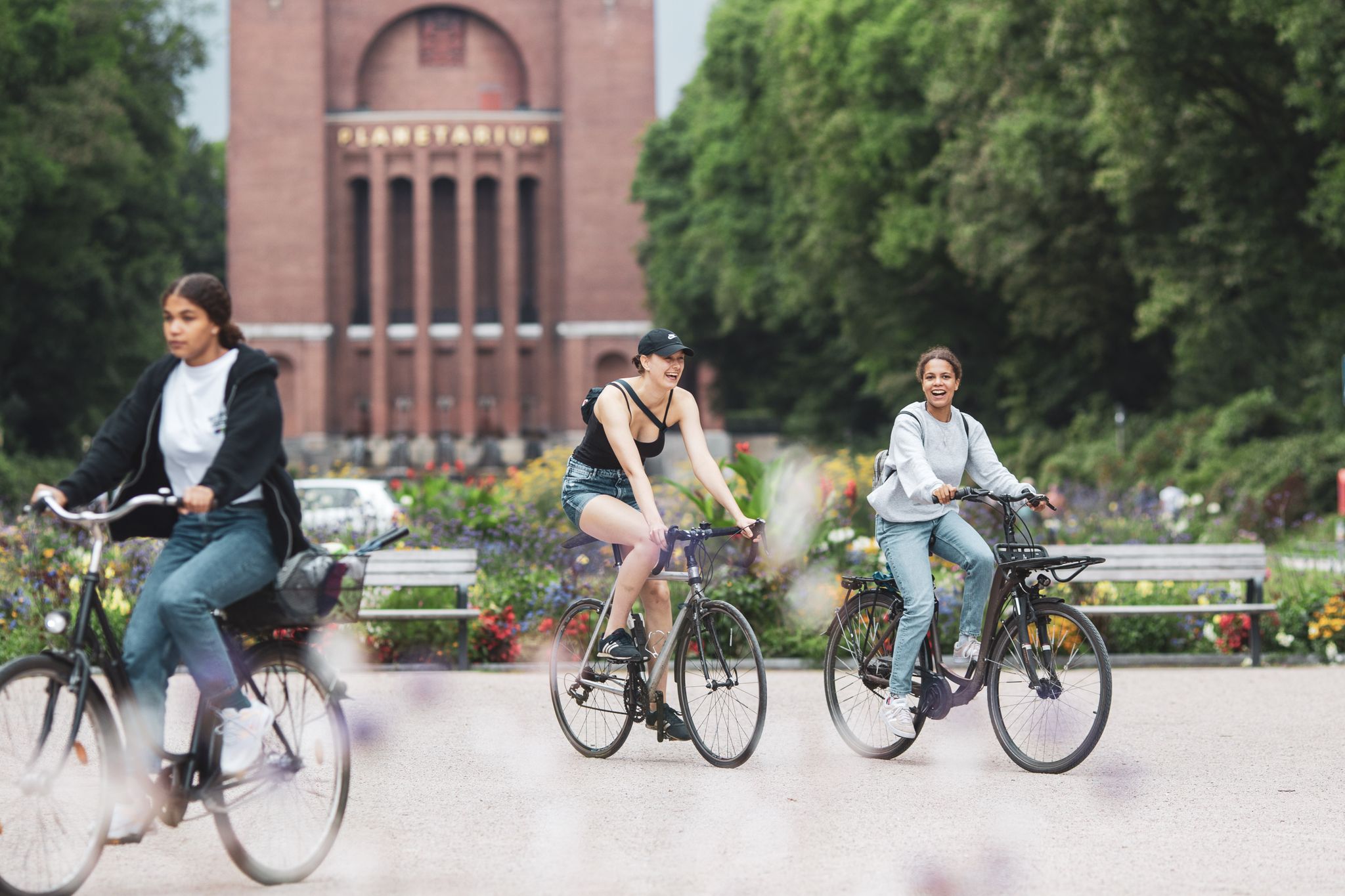
STADTRADELN – Fahr ein schöneres Hamburg
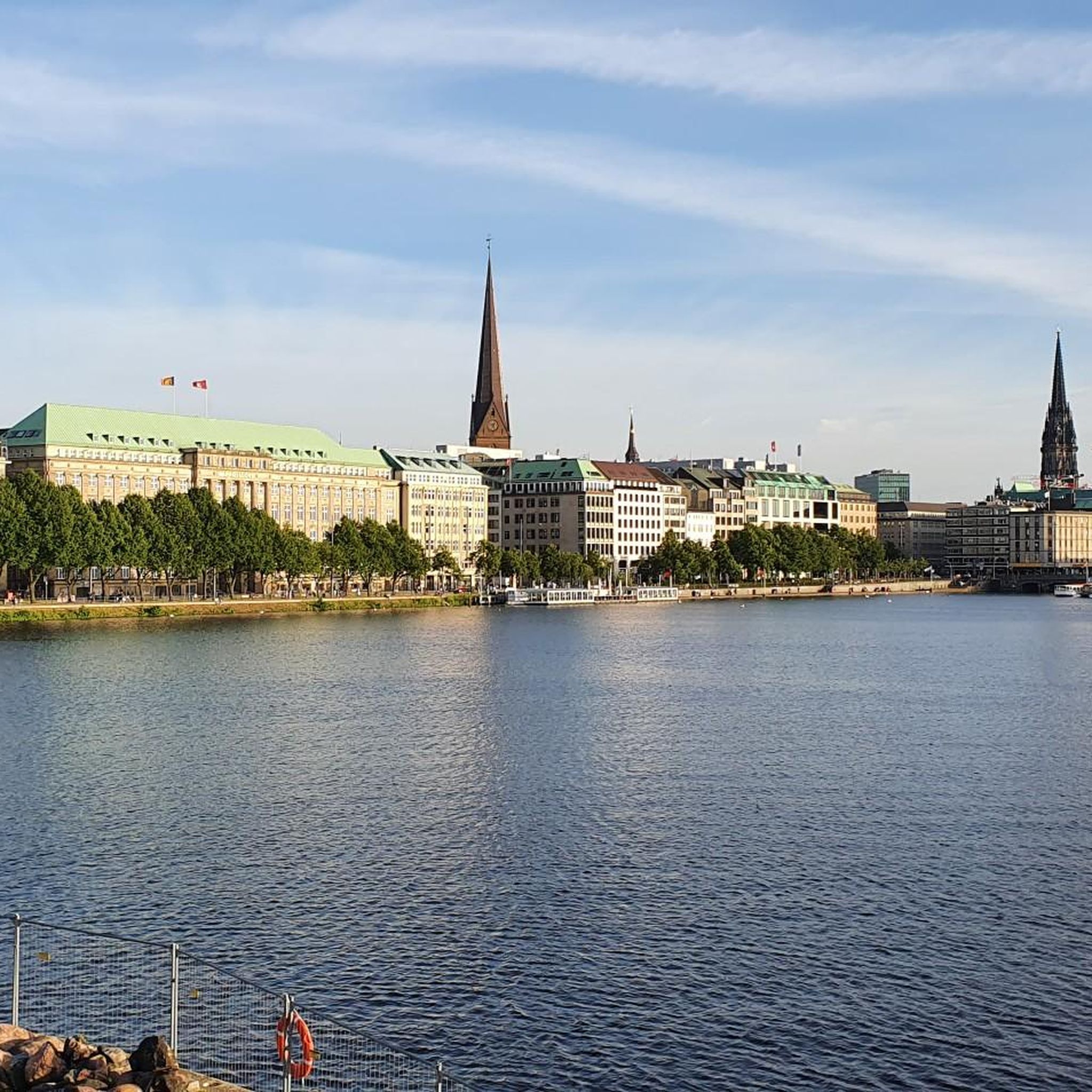
Running Trails around Binnenalster
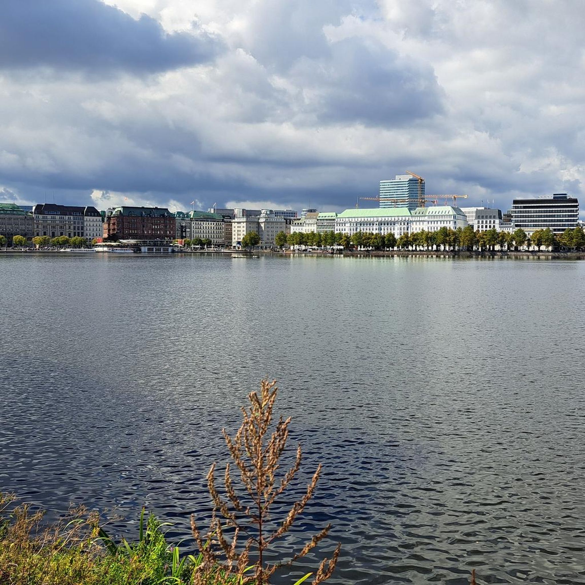
Cycling around Binnenalster
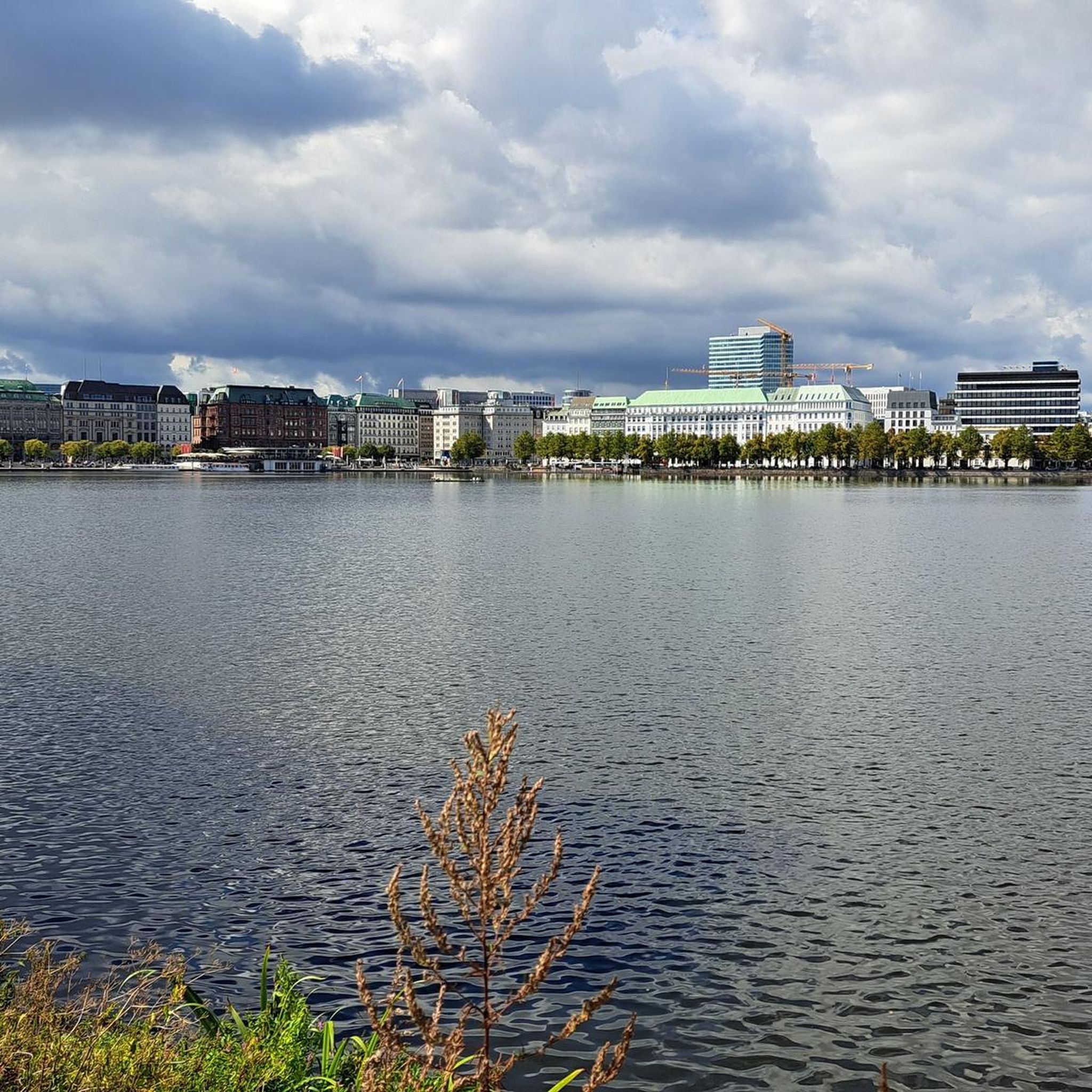
Hiking around Binnenalster
Road Cycling Routes around Binnenalster
MTB Trails around Binnenalster
Other adventures around Binnenalster


Tips from the Community

Unfortunately, the railway barriers have been dismantled. Anyone riding on the railway line has to navigate around barriers at every crossing and wait for car traffic.
0
0

The Stapelfelder Moor can be ridden wonderfully. In the meantime, a few parts have been closed to give nature peace, but the area around Stellau, on the edge of Stormarn, is very varied and beautiful anyway!
2
0
Very many visitors here and accordingly not always smooth and relaxed rest.
1
0

The Kupferteich (Copper Pond) on the border of the Hamburg districts of Poppenbüttel and Lemsahl-Mellingstedt was originally a mill pond and served as a copper mill. It is easily circumnavigated by bike or on foot. It was created by damming the Mellingbek and Twelenbek rivers, which flow from the Wittmoor and join in front of the pond, to a height of approximately 900 meters. In the mill at the Kupferteich, a copper hammer was used to produce panels for roofs, ship floors, and boilers for sugar refineries. Remains of fish ponds can be found at the northern end of the Kupferteich. In the mid-19th century, the Kupferteich became a sawmill, later an oil mill, after which the facility fell into disuse. Due to its dilapidated condition, it was demolished in 1929. The Kupferteich is now an approximately 7.0-hectare fishing lake, and since 2019, it, including its shoreline, has been designated a specially protected biotope area under the Federal Nature Conservation Act. A golf course has stretched east and west of the Kupferteich since the 21st century. There is a dog walking area on the western shore of the pond. Access to the Kupferteich is via the 1.5 km long Kupferteichweg, a road that leads to a sandy path leading to the pond. https://de.wikipedia.org/wiki/Kupferteich_(Mellingbek)
3
1

A great bike path leads past the rusty dock.
3
0
A look at Hamburg is recommended and always beautiful to see.
0
0

Super idyllic and quiet
0
1

The Kupferteich is the former mill pond of a long-demolished copper mill between Lemsahl-Mellingstedt and Poppenbüttel. For this purpose, the Mellingbek and Twelenbek rivers, which come from the Wittmoor and join in front of the Kupferteich, were dammed to a height of around 900 m. At the northern beginning of the Kupferteich and below the former mill dam at the lower end, there are still remains of fish ponds. In the middle of the pond there is a dam that also dams up the northern part. There used to be a campsite with a small restaurant on the western bank. Today the area is set up as a dog run. To the west and east of the Kupferteich there is now an extensive golf course. South of the Kupferteich, between the Poppenbütteler Berg and Poppenbütteler Hauptstraße, there is still a street called Kupferhammer, which is partly laid out as a footpath. After leaving the Kupferteich, the Mellingbek flows into the Alster near Hohenbuchen.
1
1
Frequently Asked Questions
Are there gravel bike routes suitable for beginners around Binnenalster?
Yes, the Binnenalster region offers a good selection of gravel bike routes suitable for beginners and those looking for an easier ride. While some routes extend into more challenging terrain, many paths along the Alster and Elbe rivers are relatively flat and accessible. There are over 50 easy tours available in the area.
What is the typical length of gravel bike routes in the Binnenalster area?
Gravel bike routes around Binnenalster vary significantly in length. You can find shorter loops, but many popular routes range from approximately 20 miles (32 km) to over 45 miles (72 km). For example, the Hamburg: City to Vier- und Marschlande Cycle Route is about 21.9 miles (35.2 km), while From the Alster to the Trave extends to 43.2 miles (69.6 km).
Can I find circular gravel bike routes near Binnenalster?
Yes, many gravel bike routes in the Binnenalster area are designed as loops, allowing you to start and end at the same point. For instance, the Mellingburger Schleuse – Wittmoor Heath Trail loop from Hamburg Dammtor offers a circular experience exploring heathland and forests north of the city.
What kind of terrain can I expect on gravel bike trails around Binnenalster?
The terrain around Binnenalster is diverse. You'll encounter a mix of paved and unpaved paths, including flat sections along the Alster and Elbe rivers, urban green spaces, and some routes extending into areas with gentle elevation changes. Expect paths through parklands, riverine areas, and heathland trails.
Are there any viewpoints or scenic spots along the gravel bike routes?
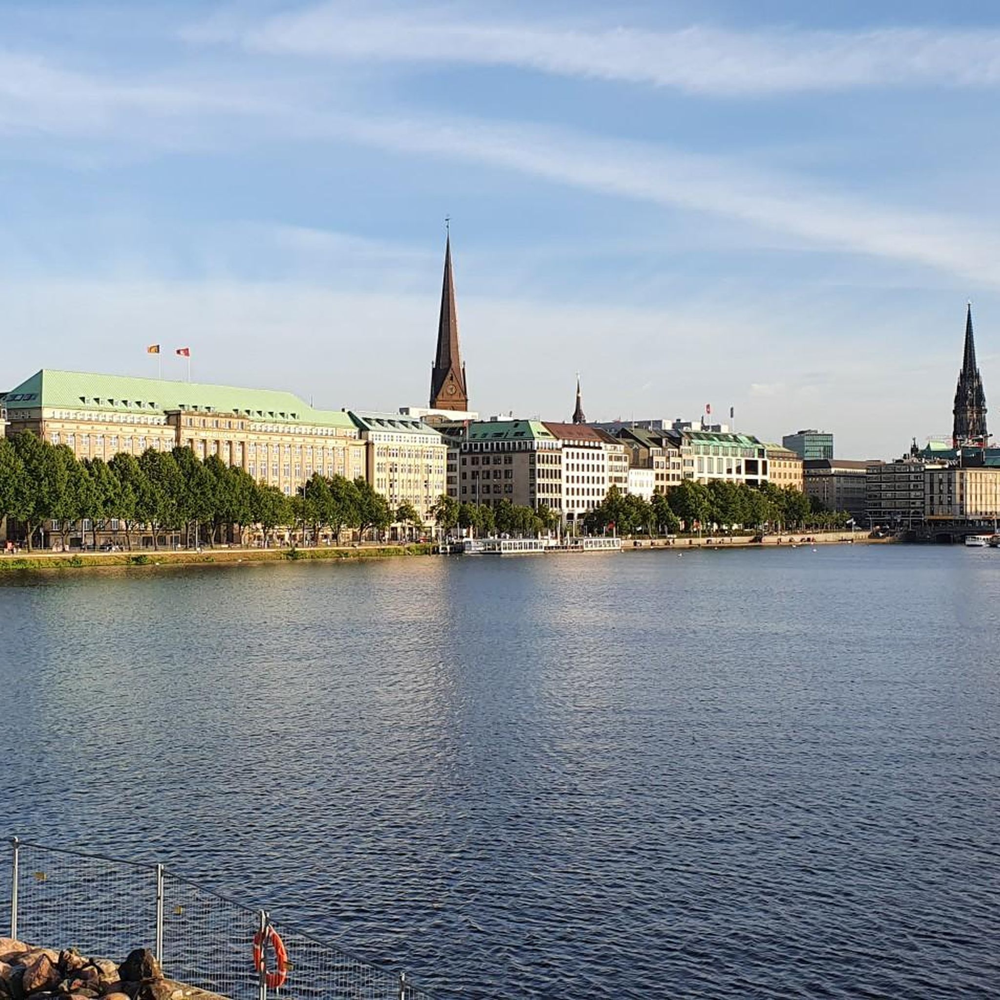
Absolutely. The Binnenalster itself offers stunning views, particularly from the Jungfernstieg Promenade on the Inner Alster. Many routes will take you past scenic spots like the Alster Fountain on the Binnenalster, and offer glimpses of the city's waterways and surrounding parklands.
What are some notable landmarks or attractions I might see while gravel biking?
Beyond the natural beauty, you can encounter several landmarks. The Lombards Bridge is a prominent feature connecting the Binnenalster and Aussenalster. You'll also find various monuments and the vibrant atmosphere of areas like Jungfernstieg and Reesendamm.
What do other gravel bikers enjoy most about gravel biking in Binnenalster?
The area is highly rated by the komoot community, with an average score of 4.4 stars from over 1,500 reviews. Reviewers often praise the unique blend of urban waterways, accessible parklands, and the ability to quickly transition from cityscapes to more natural, quiet routes.
Are there any advanced or more challenging gravel bike routes in the Binnenalster region?
Yes, while many routes are moderate, there are options for more experienced riders. For example, the Forest, river and heath - loop east of Hamburg is a longer and more challenging route, covering nearly 48 miles (77 km) with more elevation gain, providing a good test for advanced gravel bikers.
Is it possible to access gravel bike trails near Binnenalster using public transport?
Given Binnenalster's central location in Hamburg, many starting points for gravel bike routes are easily accessible via public transport. Hamburg has an extensive network of S-Bahn, U-Bahn, and bus lines, making it convenient to reach the Alster area and connect to various trails without needing a car.
Are there any gravel bike routes that pass through nature reserves or protected areas?
Yes, some routes will take you through or near nature reserves. For instance, the Kirchwerder Wiesen nature reserve - loop from Hamburg offers a chance to explore protected natural landscapes, providing a tranquil escape from the city.
What is the best time of year for gravel biking around Binnenalster?
Spring, summer, and early autumn generally offer the most pleasant conditions for gravel biking around Binnenalster, with milder weather and longer daylight hours. However, many routes are accessible year-round, and winter rides can be beautiful, especially on clearer days, though some paths might be muddy or icy.
Are there options for finding cafes or refreshment stops along the gravel bike routes?
Given the proximity to Hamburg's urban areas and the popularity of the Alster, you'll find numerous cafes, restaurants, and refreshment stops, especially along the more central sections of the routes. Even on longer rides extending into greener areas, towns and villages often provide opportunities for a break.
Most popular routes around Binnenalster
Most popular attractions around Binnenalster

Get inspired with the komoot mobile app


Explore more
Browse the best Gravel rides in other regions.
