The best gravel rides around Otto-Maigler-See
4.5
(1192)
5,060
riders
99
rides
Gravel biking around Otto-Maigler-See offers diverse terrain shaped by its origins as a former lignite open-cast mine, now extensively recultivated within the Rhineland Nature Park. The area features a network of paths along recultivated dump edges and through forest protection plantings, providing varied surfaces suitable for gravel bikes. This landscape combines natural features with recreational infrastructure, offering an ideal mix of paved and gravelled farm roads.
Best gravel bike trails around Otto-Maigler-See
- The most popular gravel bike trail is Approach…
Last updated: July 16, 2026
5.0
(1)
13
riders
34.9km
02:03
260m
260m
Moderate gravel ride. Good fitness required. Mostly paved surfaces. Suitable for all skill levels.
5.0
(2)
3
riders
37.0km
02:26
420m
420m
Moderate gravel ride. Good fitness required. Mostly paved surfaces. Suitable for all skill levels.

Sign up for free
4.0
(2)
10
riders
21.9km
01:18
100m
100m
Easy gravel ride. Great for any fitness level. Mostly paved surfaces. Suitable for all skill levels.
4.0
(1)
4
riders
Hard gravel ride. Good fitness required. You may need to push your bike for some segments of this route.
4.0
(2)
4
riders
41.3km
02:13
230m
230m
Moderate gravel ride. Good fitness required. Mostly paved surfaces. Suitable for all skill levels.
Get access to more routes and recommendations from other explorers.
Sign up for free
Already have an account?
Our route recommendations are based on thousands of hikes, rides, and runs completed by other people on komoot.
Start today with a free account
Your next adventure awaits.
Login or Signup

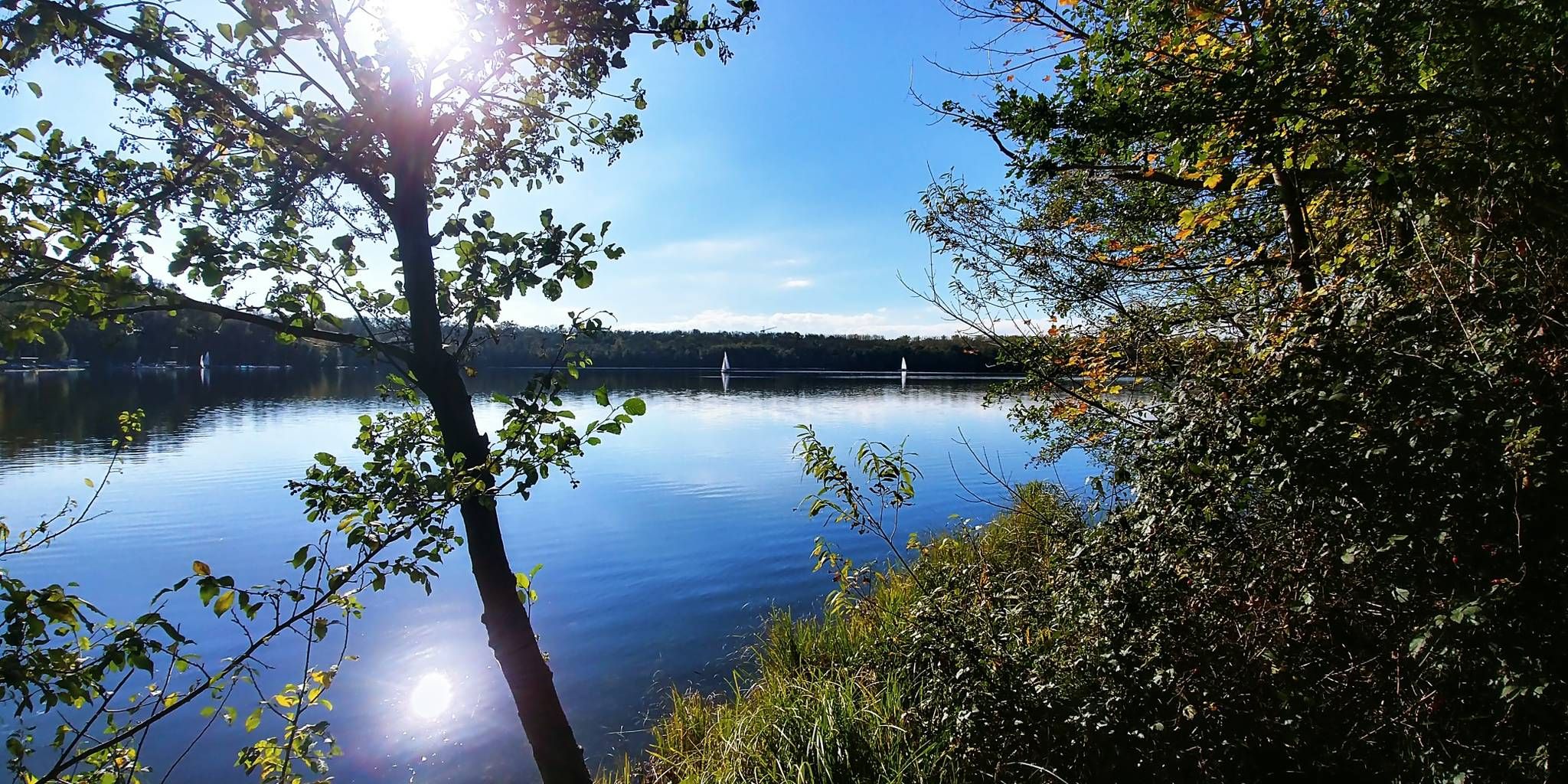
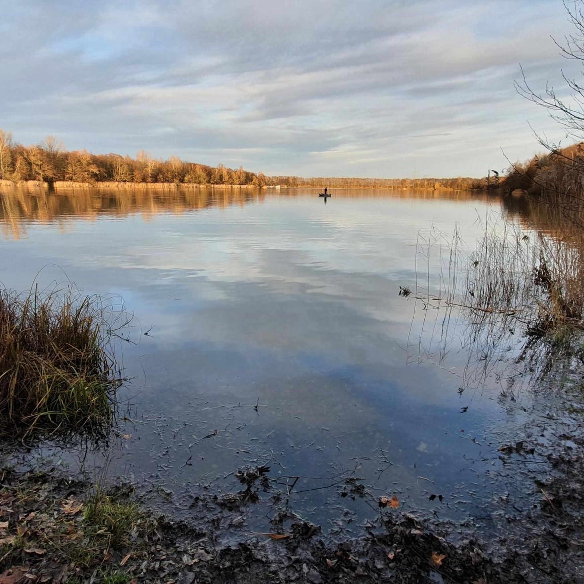
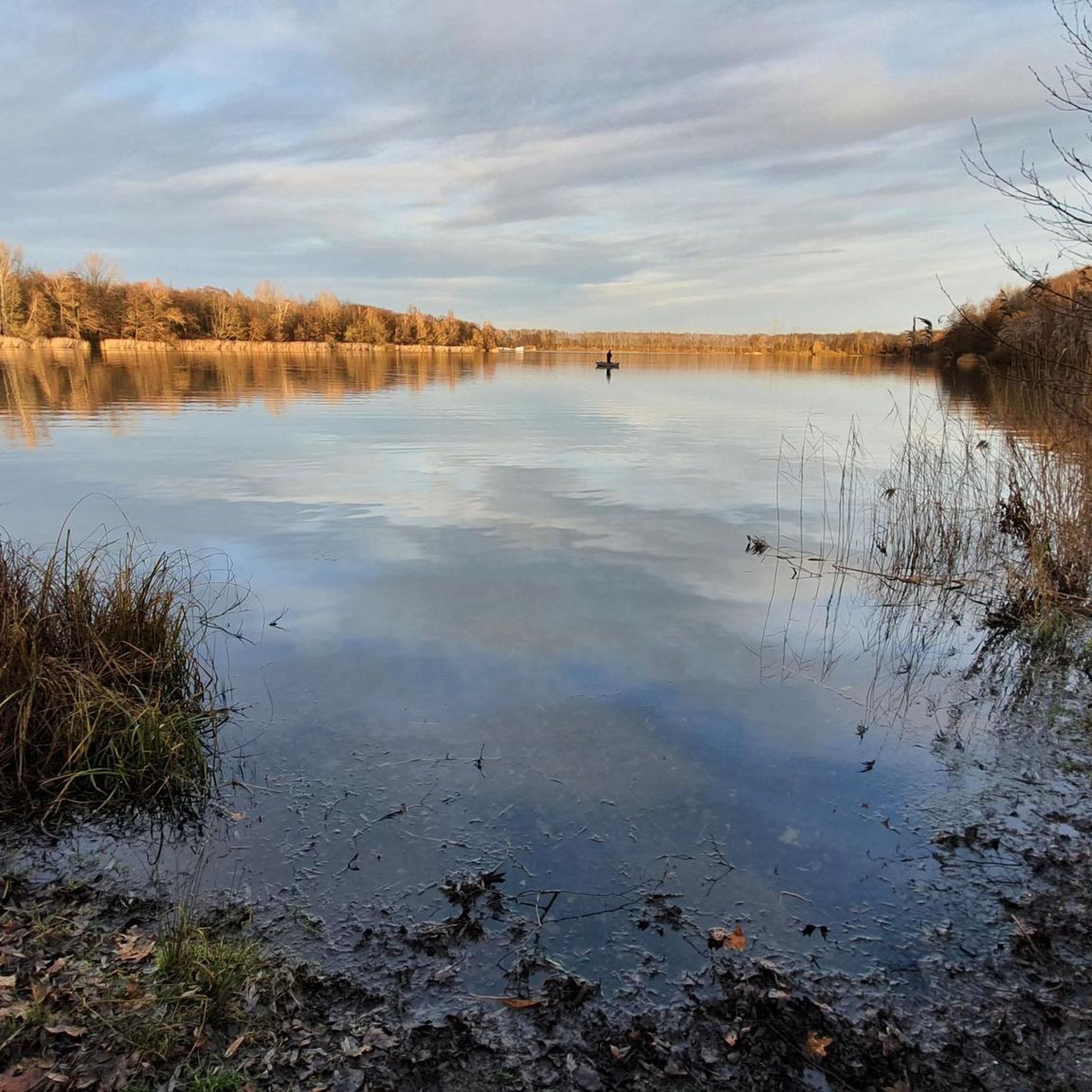
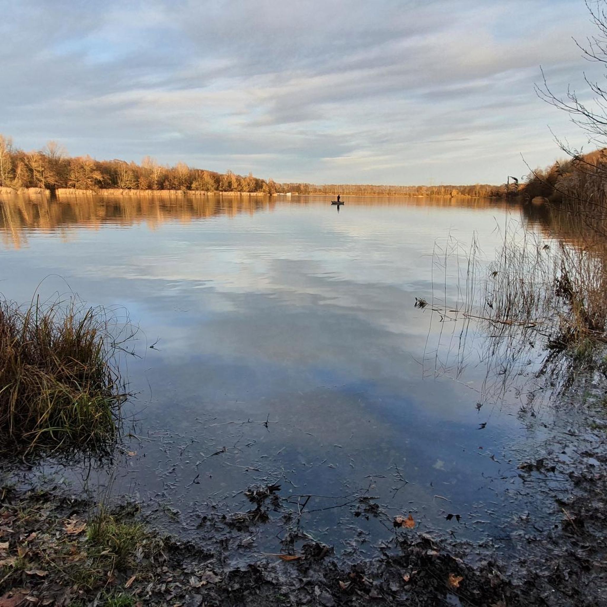
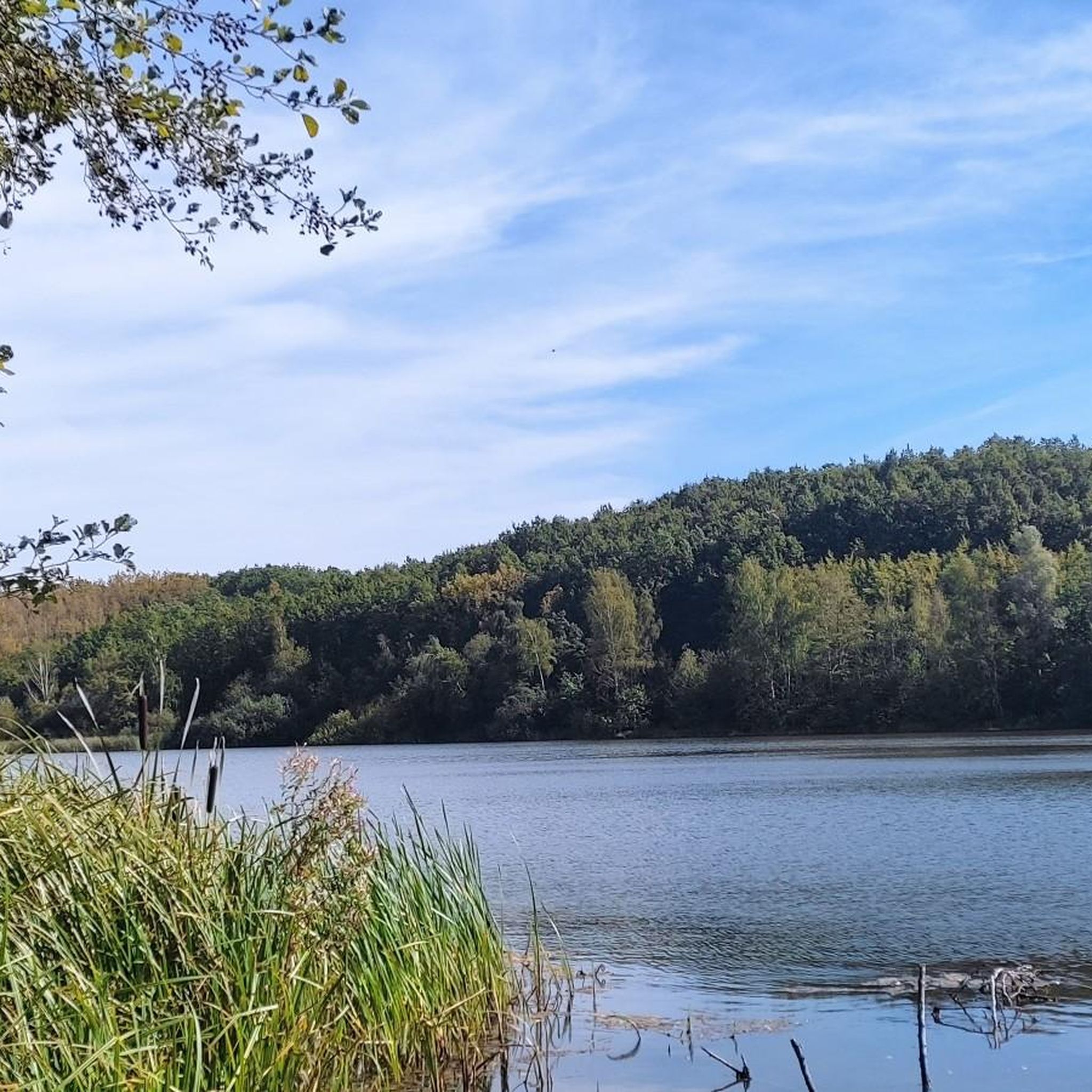
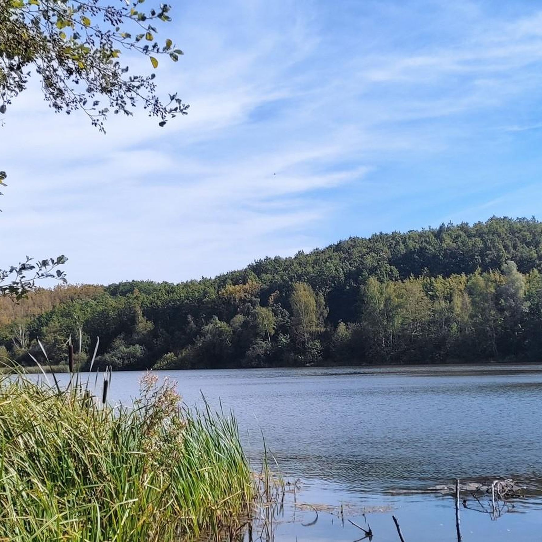
Other adventures around Otto-Maigler-See

Tips from the Community

Currently, almost all trees have been cut down.
1
0
Currently, almost all trees have been cut down.
1
0

Nice bike path
0
0
Frequently Asked Questions
How many gravel bike trails are available around Otto-Maigler-See?
There are over 160 gravel bike routes around Otto-Maigler-See, offering a wide range of options for different skill levels. You'll find a diverse mix of terrain, from recultivated dump edges to forest paths and gravelled farm roads.
Are there gravel bike routes suitable for beginners around Otto-Maigler-See?
Yes, the area offers many easy routes. For example, the Hürther Waldsee – Otto Maigler Lake Shore loop from Gleuel is an easy 9.1-mile (14.7 km) path that provides scenic views without significant challenges, perfect for those new to gravel biking.
What kind of terrain can I expect on gravel bike trails near Otto-Maigler-See?
The terrain around Otto-Maigler-See is quite varied due to its history as a former lignite mine. You can expect an ideal mix of paved and gravelled farm roads, paths along recultivated dump edges, and sections through forest protection plantings. This diversity makes it well-suited for gravel bikes.
Are there any challenging gravel bike routes for experienced riders?
Yes, for more experienced riders seeking a challenge, routes like the Otto Maigler Lake – Silver Lake loop from Hürth offer a longer distance of 34.0 miles (54.7 km) and varied terrain, typically taking over four hours to complete.
What are the best times of year for gravel biking around Otto-Maigler-See?
The area around Otto-Maigler-See is beautiful throughout the year. Spring offers fresh greenery and blooming flowers, while autumn provides vibrant colors. The varied seasonal beauty makes it appealing to explore by bike in most seasons, though checking local weather is always advisable.
Are there any family-friendly gravel bike routes?
Many of the easy and moderate routes around Otto-Maigler-See are suitable for families. The well-maintained paths and scenic lakeside sections provide a pleasant experience for riders of all ages. Consider routes that stick closer to the lake for less elevation gain.
Can I bring my dog on the gravel bike trails?
Generally, dogs are welcome on public paths and trails around Otto-Maigler-See, provided they are kept on a leash and under control. Always be mindful of other trail users and local regulations, especially in nature protection areas.
What attractions or viewpoints can I see along the gravel bike routes?
Many routes offer views of the lake itself, such as the Otto-Maigler Lake. You might also pass by the Roddergrube Mining Memorial, which offers a glimpse into the region's history. The recultivated landscape provides unique vistas shaped by its mining past and ecological restoration.
Are there places to eat or drink along the routes?
Yes, the area around Otto-Maigler-See is well-equipped with amenities. There is a sea terrace overlooking the lake that offers regional cuisine and refreshing drinks, providing a perfect spot for a break during or after your bike tour.
Where can I park my car when visiting for gravel biking?
Parking facilities are available around Otto-Maigler-See, particularly near popular access points and the beach club. Look for designated parking areas to ensure convenient access to the trails.
Is Otto-Maigler-See accessible by public transport for cyclists?
Yes, Otto-Maigler-See is located in Hürth, which has public transport connections. You can research local bus or train routes that allow bikes, making it possible to access the area without a car. Check regional transport websites for specific schedules and bike policies.
Are there circular gravel bike routes around Otto-Maigler-See?
Many of the gravel bike routes around Otto-Maigler-See are designed as loops, allowing you to start and end at the same point. This includes popular options like the Asphalted road to Hürth – Decksteiner Pond loop from Gleuel, which is an easy 12.4-mile (19.9 km) circular trail.
What do other gravel bikers enjoy most about the trails here?
The komoot community highly rates the gravel biking experience around Otto-Maigler-See, with an average score of 4.4 stars from over 1,100 reviews. Riders often praise the diverse terrain, the scenic lake views, and the well-maintained paths that cater to various skill levels.
Most popular routes around Otto-Maigler-See
Most popular attractions around Otto-Maigler-See

Get inspired with the komoot mobile app


Explore more
Browse the best Gravel rides in other regions.
