The best gravel rides around Oleftalsperre
4.5
(152)
1,178
riders
53
rides
Gravel biking around Oleftalsperre offers diverse terrain within the Eifel region, characterized by extensive forests, the Olefsee reservoir, and the Oleftalsperre buttress dam. The area features an ideal mix of paved and gravel farm roads, providing varied surfaces for cycling. Routes often include scenic trails through meadows, forests, and floodplains, with options extending into the Hohes Venn-Eifel Nature Park. The landscape presents significant elevation gains, catering to various fitness levels.
Best gravel bike trails around Oleftalsperre
- The most popular gravel…
Last updated: July 2, 2026
5.0
(4)
52
riders
35.7km
02:49
580m
580m
Hard gravel ride. Very good fitness required. Mostly paved surfaces. Suitable for all skill levels.
4.0
(1)
26
riders
39.5km
03:18
830m
830m
Hard gravel ride. Very good fitness required. Mostly paved surfaces. Suitable for all skill levels.

Sign up for free
4.0
(1)
8
riders
30.2km
02:27
540m
540m
Hard gravel ride. Very good fitness required. Mostly paved surfaces. Suitable for all skill levels.
4.3
(6)
26
riders
18.2km
01:08
190m
190m
Moderate gravel ride. Good fitness required. Mostly paved surfaces. Suitable for all skill levels.
9
riders
30.5km
02:18
460m
460m
Hard gravel ride. Very good fitness required. Mostly paved surfaces. Suitable for all skill levels.
Get access to more routes and recommendations from other explorers.
Sign up for free
Already have an account?
Our route recommendations are based on thousands of hikes, rides, and runs completed by other people on komoot.
Start today with a free account
Your next adventure awaits.
Login or Signup
Tips from the Community

The small hut offers us welcome shelter during an unexpected rain shower.
1
0
There is a hiking parking lot in the immediate vicinity, which offers space for 6 or 7 vehicles. The GPS coordinates for your navigation system are: 50.527841, 6.410977
2
0
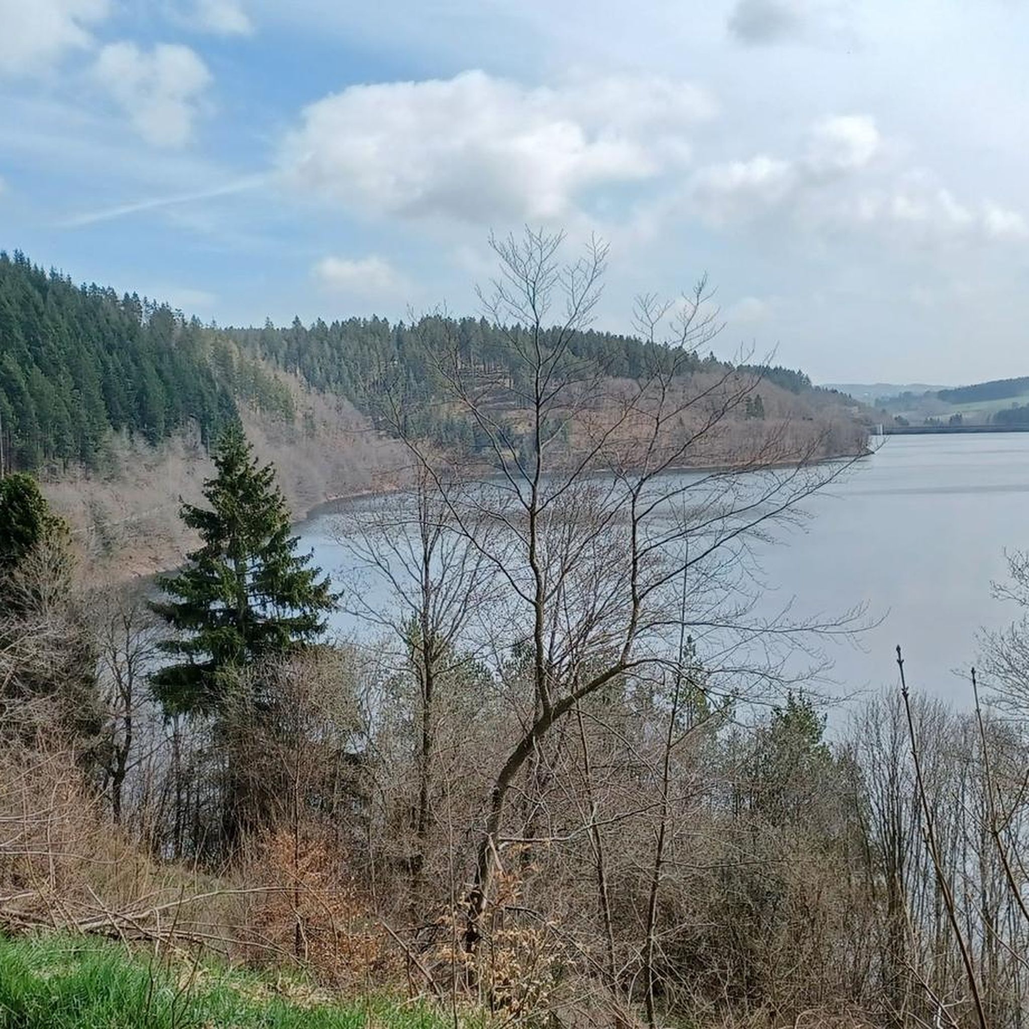
Up here on the hilltop, we have a beautiful view over the heights of the North Eifel region.
0
0

Dam construction period: 1954–1959 Height above valley floor: 54.6 m Crest length: 282 m Crest width: 5.7 m
0
0

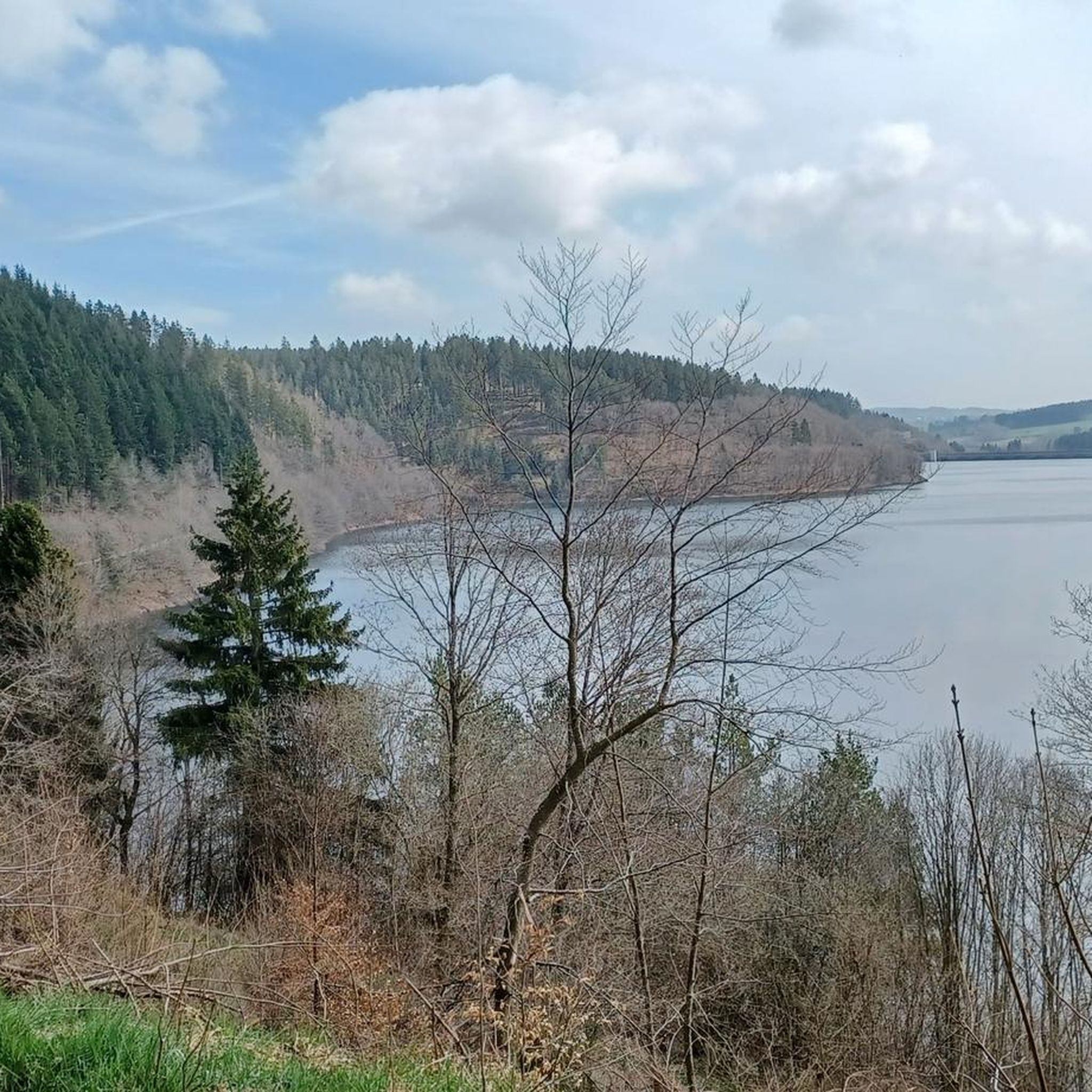
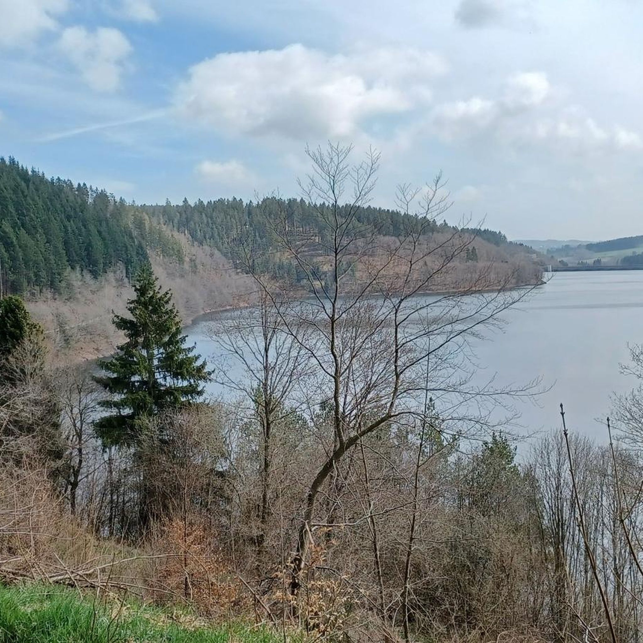
The unique dam structure of the Oleftalsperre is very impressive from this height! Top!
0
0


There is a bench here to complement the view.
1
0
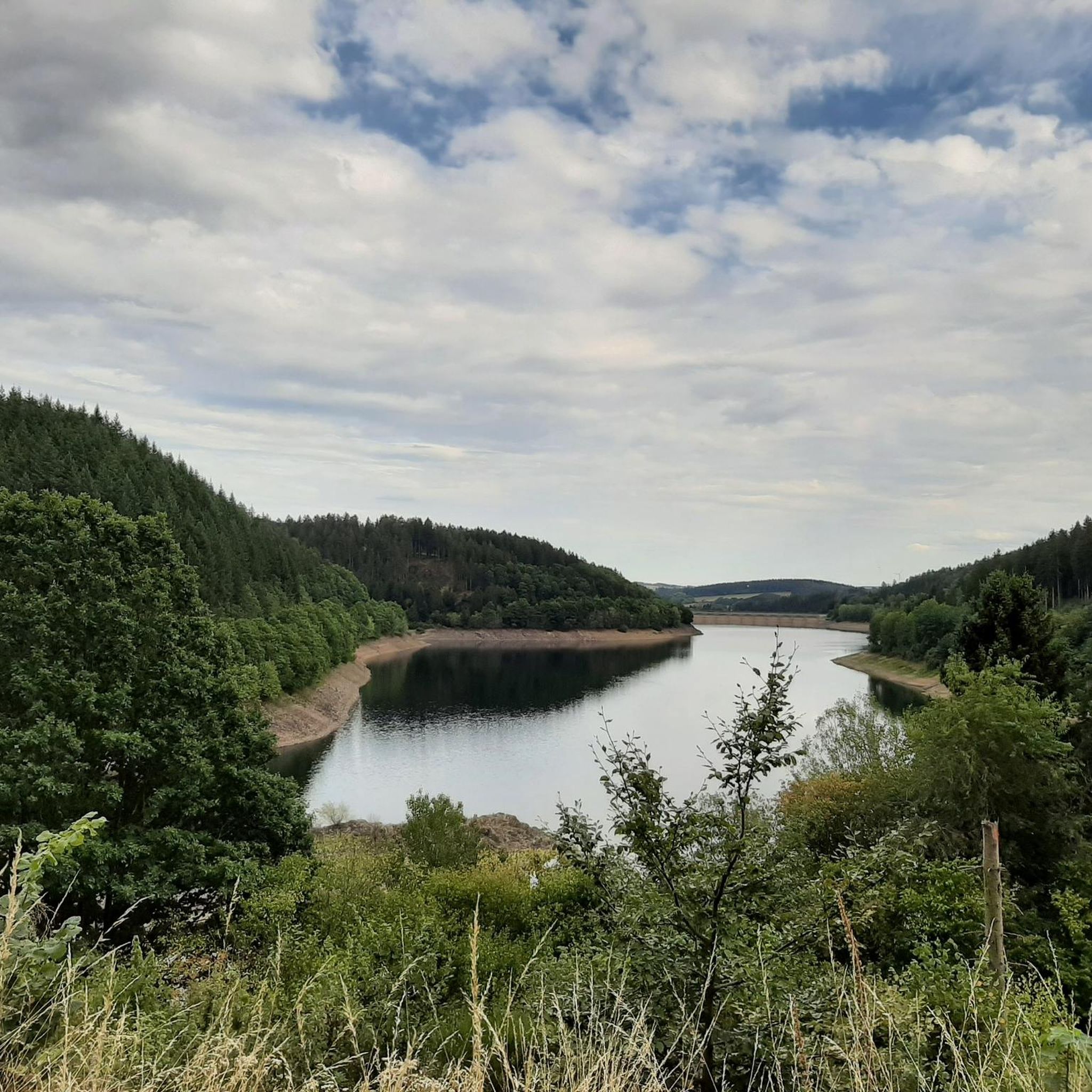
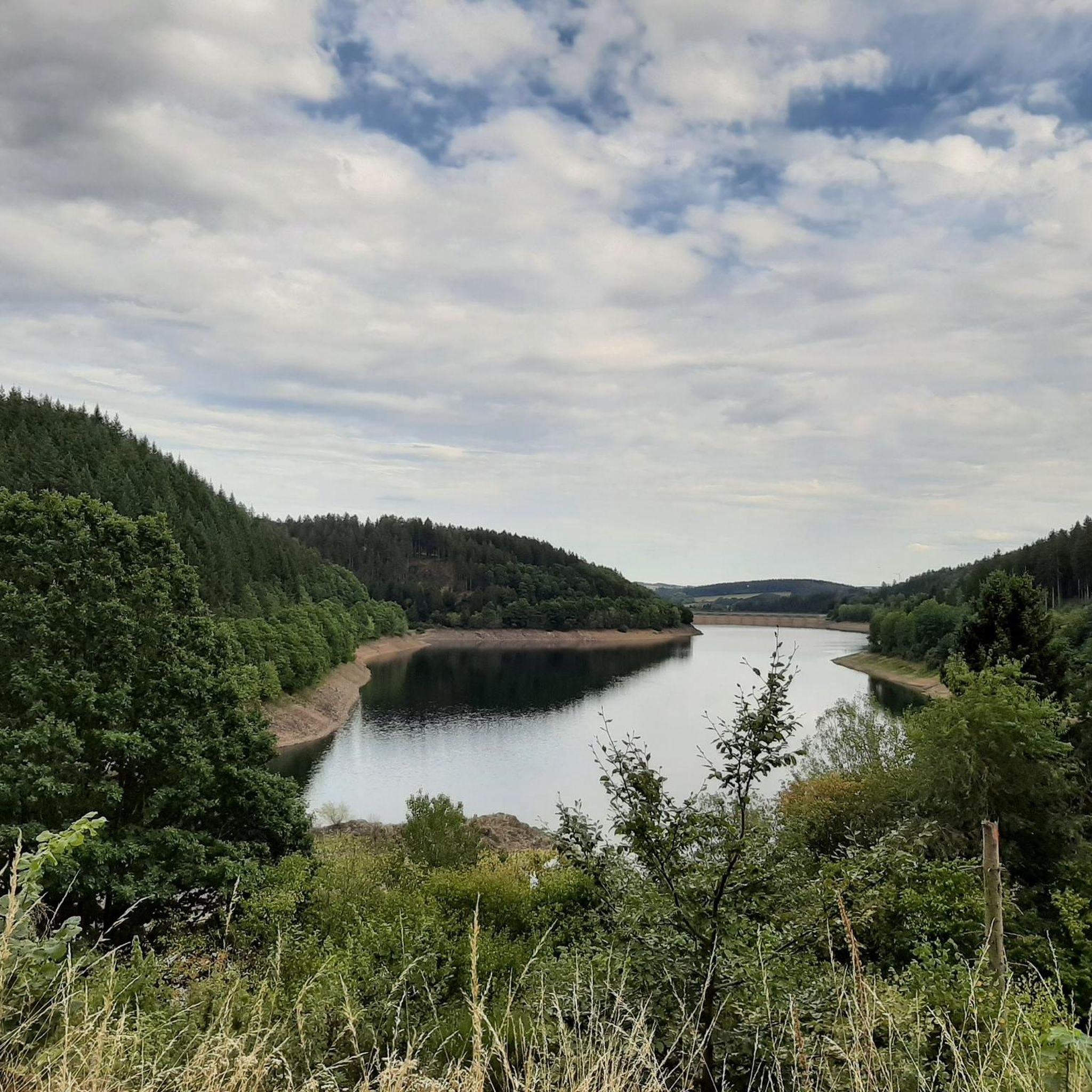
From here you have a very nice view towards the Oleftalsperre.
1
0
Frequently Asked Questions
How many gravel bike trails are available around Oleftalsperre?
There are nearly 60 gravel bike trails around Oleftalsperre, offering a diverse range of routes for different skill levels. You'll find 2 easy, 19 moderate, and 38 difficult routes to explore.
What kind of terrain can I expect on gravel bike trails in Oleftalsperre?
The Oleftalsperre region offers an ideal mix of paved and gravel farm roads, along with scenic trails through meadows, forests, and floodplains. You'll encounter varied surfaces and significant elevation gains, especially on routes extending into the Hohes Venn-Eifel Nature Park.
Are there any family-friendly gravel biking options around Oleftalsperre?
While many routes feature significant elevation, there are options suitable for families. The region has 2 easy routes, and some moderate paths like the View of the Olef Reservoir – Olef Reservoir loop from Hellenthal (18.2 km) offer a less strenuous experience through forested areas around the reservoir.
What are some notable landmarks or natural features to see along the gravel routes?
Many routes offer views of the impressive Oleftalsperre dam structure and the picturesque Olefsee reservoir. You can also pass by highlights such as the North Shore of the Oleftalsperre, the Oleft Reservoir Peninsula, and the Flooded forest near the inlet to the reservoir. Some routes, like the Chapel Near Rifferscheid – Hellenthal Wildlife Park loop from Hellenthal, even lead past the Hellenthal Wildlife Park and the Waldkapelle (forest chapel).
Are there any circular gravel bike routes around Oleftalsperre?
Yes, many of the gravel routes in the area are circular. A popular option is the View of the Dieter Dam – Olef Reservoir loop from Hellenthal, which is 35.7 km long and offers continuous views of the reservoir and dam. Another great loop is the View of the Olef Reservoir – Olef Reservoir loop from Hellenthal, a moderate 18.2 km ride.
What do other gravel bikers say about the trails in Oleftalsperre?
The routes in Oleftalsperre are highly rated by the komoot community, with an average score of 4.4 stars from over 120 reviews. Over 1,000 gravel bikers have used komoot to explore the varied terrain, often praising the beautiful forests, the scenic reservoir views, and the diverse mix of paved and gravel paths.
Can I bring my dog on the gravel bike trails around Oleftalsperre?
The Oleftalsperre region is generally dog-friendly for outdoor activities. While the Olefsee is a drinking water source and swimming is not permitted, the surrounding paths are suitable for dogs. Always ensure your dog is under control, and check local regulations for specific leash rules, especially within the Eifel National Park or Hellenthal Wildlife Park areas.
What is the best time of year to go gravel biking in Oleftalsperre?
The Oleftalsperre region is beautiful year-round. Spring and autumn offer pleasant temperatures and vibrant scenery, with autumn foliage being particularly striking. Summer is also great, though some paths might be busier. Even winter can be appealing, with scenes of snow-covered trees reflecting in the water, but be prepared for colder conditions and potentially icy patches.
Are there any cafes or places to eat near the gravel trails?
While the Olefsee itself is a drinking water reservoir with limited direct facilities, the nearby town of Hellenthal offers various cafes, pubs, and accommodation options. You'll find places to refuel and relax before or after your ride in the surrounding villages.
Is there parking available for cyclists at Oleftalsperre?
Yes, there are parking options available around the Oleftalsperre for visitors. Specific parking areas are usually signposted near popular access points to the reservoir and its surrounding trails, making it convenient for cyclists to start their routes.
Are there any advanced or challenging gravel routes in the area?
Absolutely. The Oleftalsperre region is known for its significant elevation gains and offers 38 difficult routes. For example, the Schafbachmühle – View of the Eifel loop from Hellenthal is a challenging 30.4 km ride with substantial climbing, and the Prethtal Valley – Prethtal Cycle Path loop from Hellenthal also provides a demanding experience.
Most popular routes around Oleftalsperre
Most popular attractions around Oleftalsperre

Get inspired with the komoot mobile app


Explore more
Browse the best Gravel rides in other regions.
