The best gravel rides around Krombachstausee
4.7
(63)
419
riders
78
rides
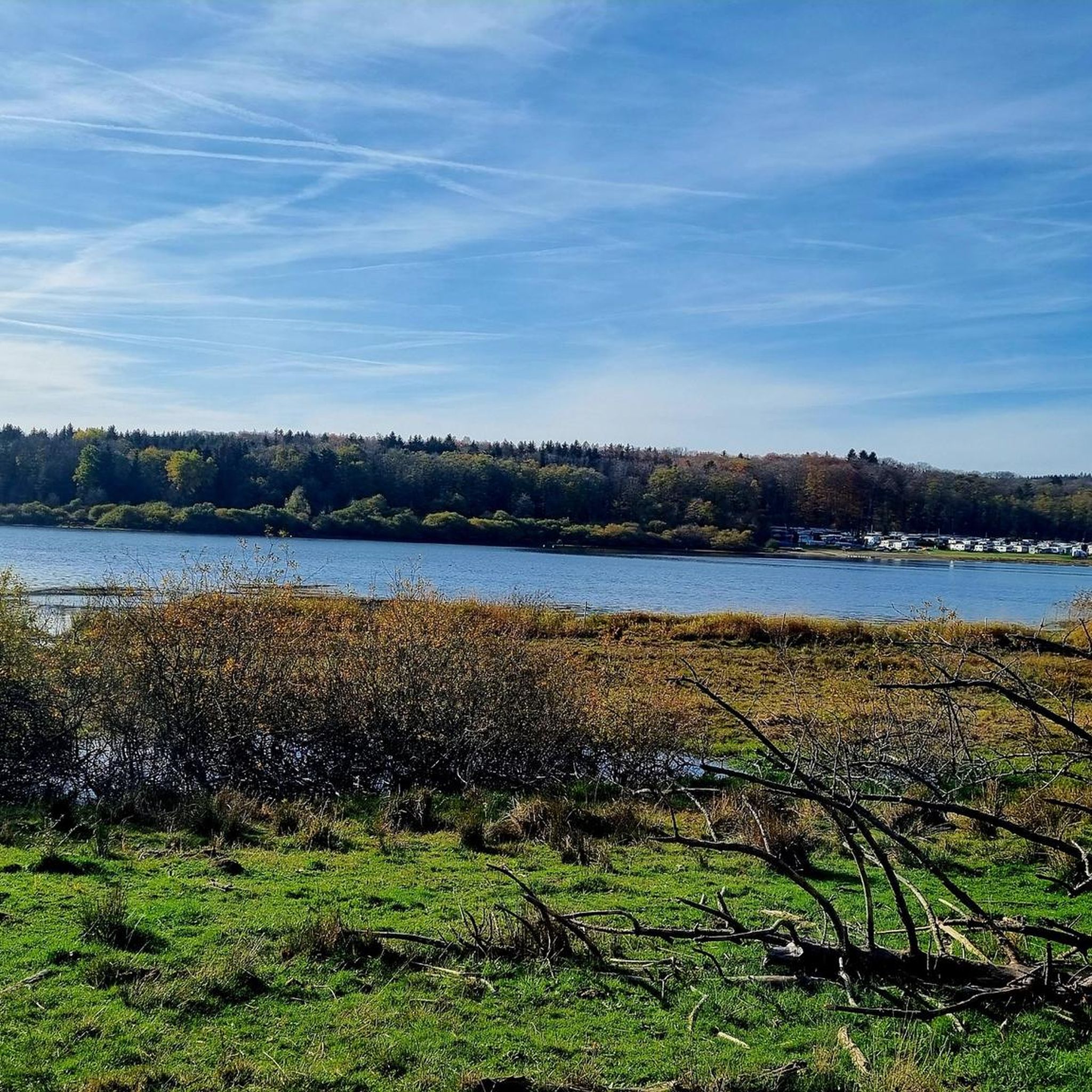
Gravel biking around Krombachstausee offers diverse terrain within the Westerwald region. The area features extensive forested paths, country roads, and varied trails suitable for gravel bikes. Riders can expect routes with views over the Krombachstausee reservoir and through rolling hills. This landscape provides a mix of challenging climbs and tranquil stretches.
Best gravel bike trails around Krombachstausee
- The most popular gravel bike trail is Adolf Weiss Memorial and Rest Area – Ulmtal Cycle Path loop from Krombachtalsperre, a 22.0 miles (35.5 km) trail that takes 2 hours 35 minutes to complete, featuring a loop along the Ulmtal Cycle Path.
- Another top favourite among local gravel bikers is View of Krombach Reservoir – Krombach Reservoir loop from Rehe, an easy 5.5 miles (8.9 km) path. This route offers views of the Krombach Reservoir as it loops from Rehe.
- Local gravel bikers also love the View of Greifenstein Castle – View over the Dill Valley loop from Krombachtalsperre, a 20.0 miles (32.1 km) trail leading through the Dill Valley, often completed in about 2 hours 35 minutes.
- Gravel biking around Krombachstausee is defined by scenic reservoir views, extensive forested areas, and rolling hills. The network offers options for different ability levels, from easy loops to more challenging routes with significant elevation gain.
- The routes in Krombachstausee are highly rated by the komoot community with an average score of 4.6 stars from over 40 reviews. More than 400 gravel bikers have used komoot to explore Krombachstausee's varied terrain.
Last updated: October 6, 2026
17
riders
37.2km
02:09
500m
500m
Hard gravel ride. Very good fitness required. Mostly paved surfaces. Suitable for all skill levels.
3.5
(2)
13
riders
8.82km
00:29
80m
80m
Easy gravel ride. Great for any fitness level. Mostly paved surfaces. Suitable for all skill levels.

6
riders
Hard gravel ride. Very good fitness required. You may need to push your bike for some segments of this route.
4.0
(2)
24
riders
46.8km
02:49
590m
590m
Hard gravel ride. Very good fitness required. You may need to push your bike for some segments of this route.
5.0
(1)
10
riders
32.7km
01:51
350m
350m
Moderate gravel ride. Good fitness required. Mostly paved surfaces. Suitable for all skill levels.
Get access to more routes and recommendations from other explorers.
Already have an account?
Our route recommendations are based on thousands of hikes, rides, and runs completed by other people on komoot.
Start today with a free account
Your next adventure awaits.
Tips from the Community

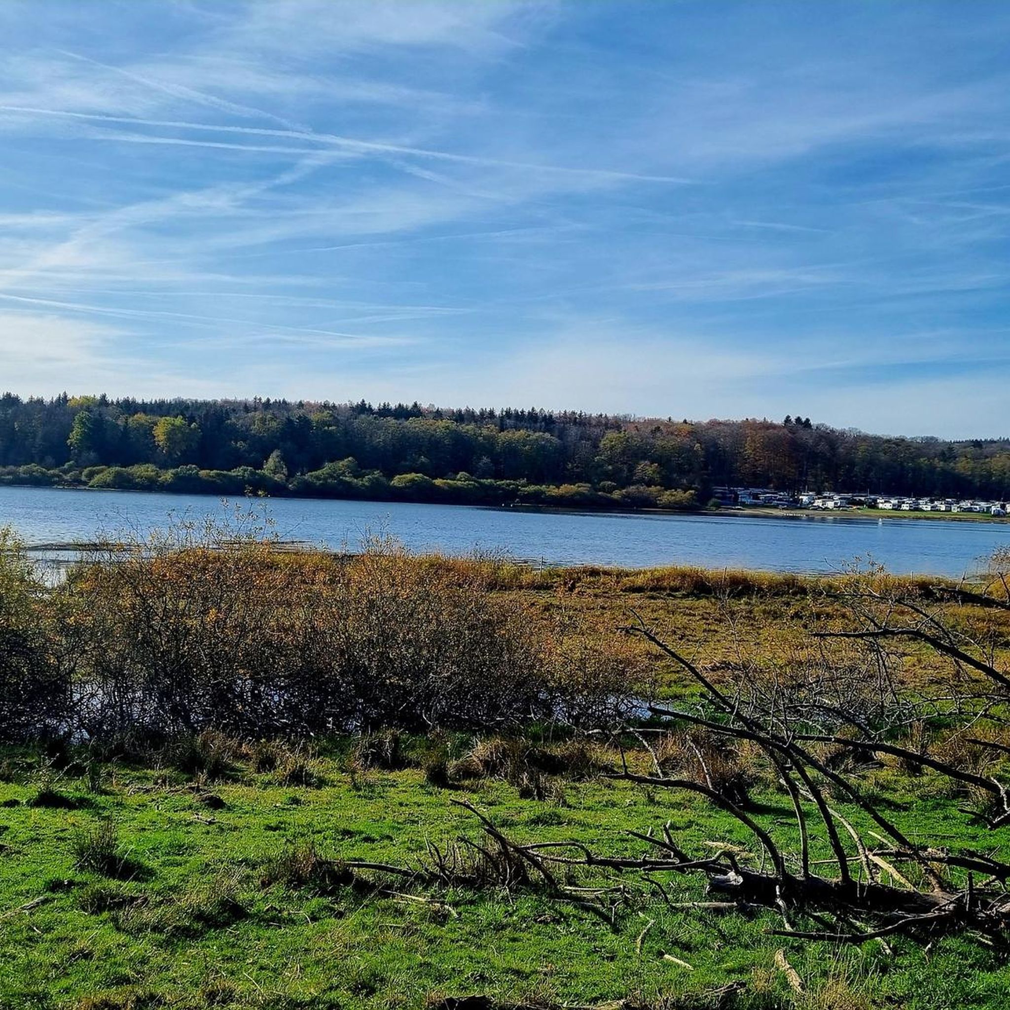
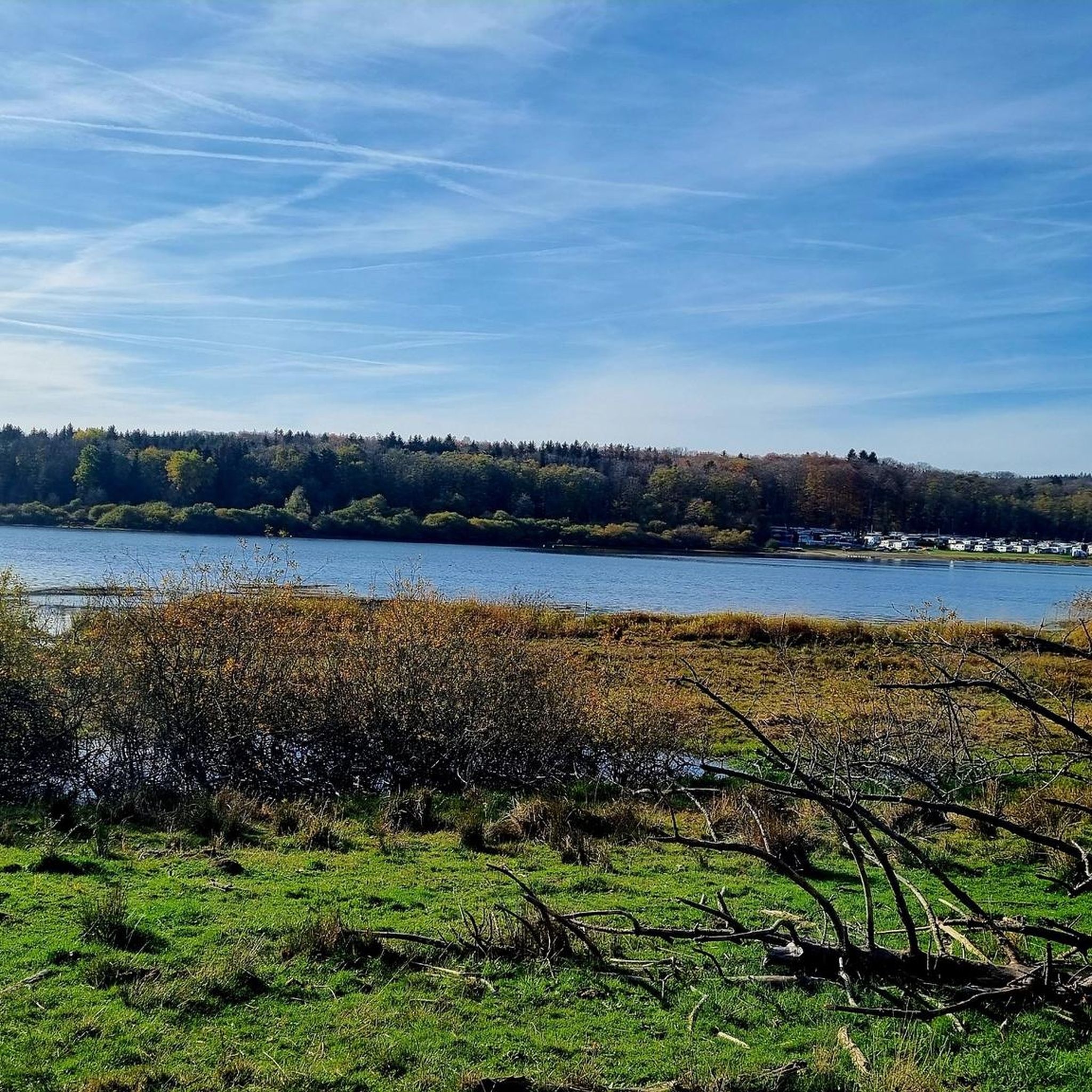
From here you have a good view of the Ulmbachtalsperre.
0
0

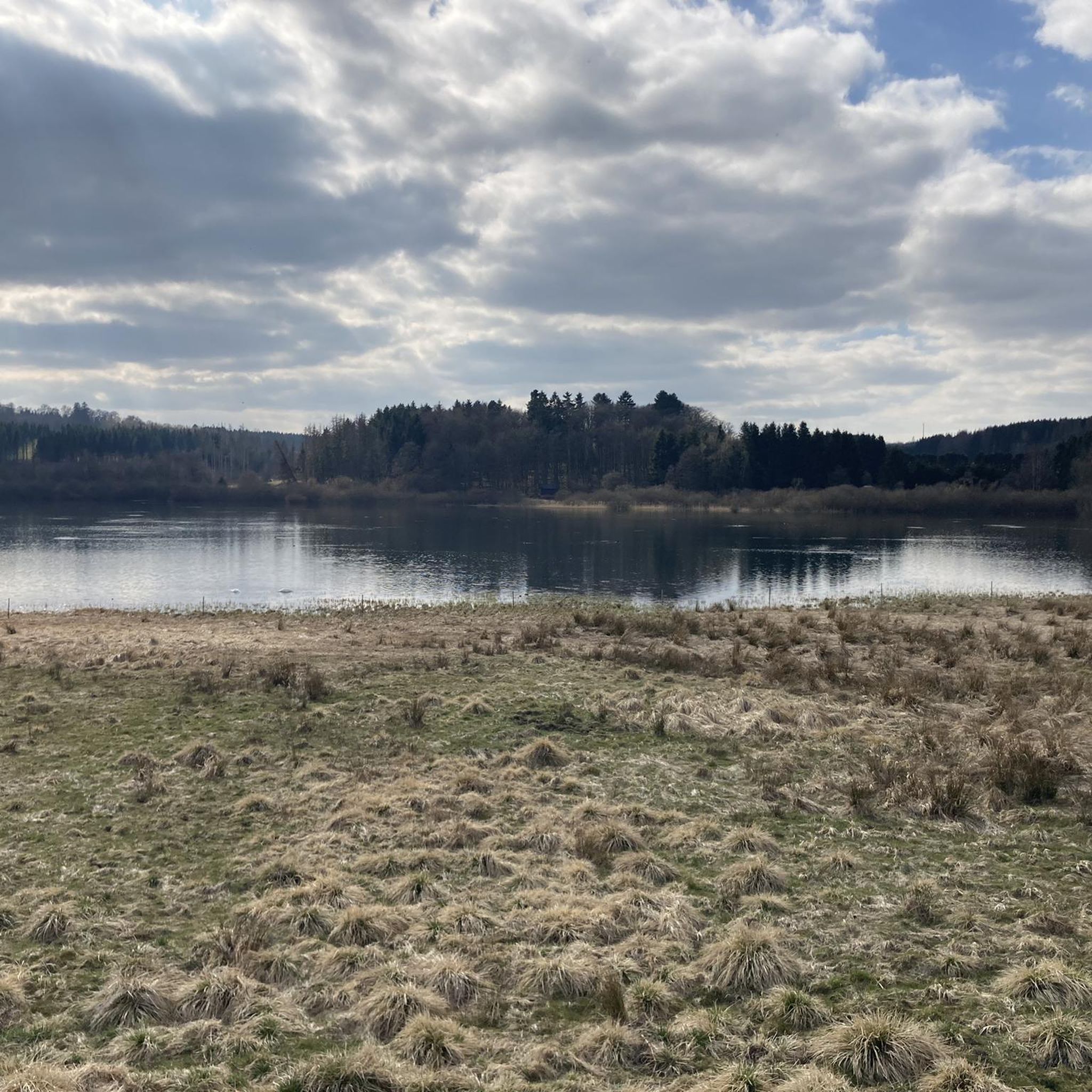
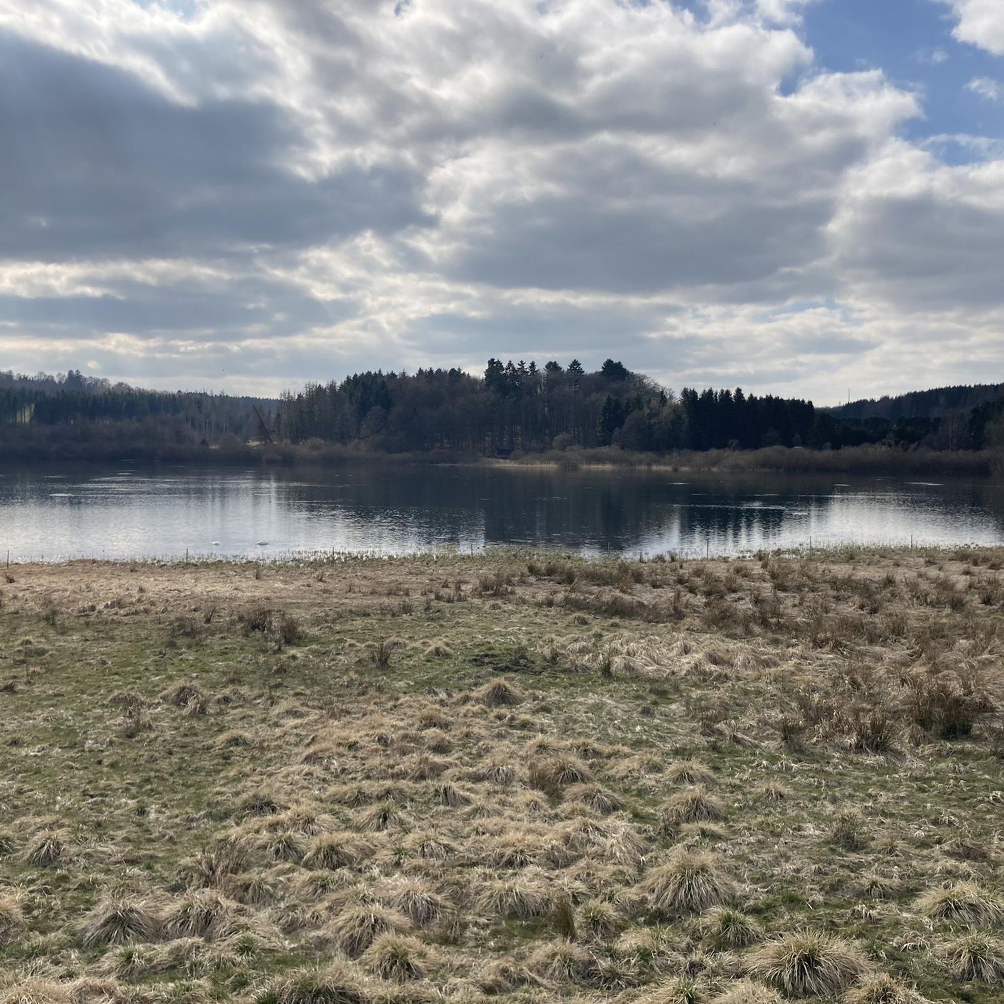
Very nice cycle path around the reservoir.
1
0

The largest lake in the Hohe Westerwald can be wonderfully circumnavigated. Two campsites with beautiful bathing beaches are located on its shore. From an observation stand, you can observe the birdlife in the nature reserve next to the lake.
1
0

Perfectly rideable cycle path - for me, that's definitely part of 'enjoyable cycling'!
0
0

Really cool job and opposite is the big picture of the "Ferkeltaxi".
0
0
You can really relax and enjoy yourself here
0
0
At this point, you have a beautiful view of the castle
1
0
Frequently Asked Questions
What kind of terrain can I expect on gravel bike trails around Krombachstausee?
The Krombachstausee area, nestled in the Westerwald region, offers a diverse mix of terrain. You'll find extensive forested paths, scenic country roads, and varied trails. Many routes feature impressive views over the reservoir itself, combined with tranquil stretches through dense forests and rolling hills, providing a classic gravel biking experience.
Are there gravel bike routes suitable for beginners or families around Krombachstausee?
Yes, there are routes suitable for various skill levels. For an easier option, ideal for beginners or families, consider the View of Krombach Reservoir – Krombach Reservoir loop from Rehe. This 8.9 km (5.5 miles) path offers pleasant views of the reservoir with minimal elevation gain.
How many gravel bike trails are available in the Krombachstausee region?
There are nearly 100 gravel bike routes available around Krombachstausee on komoot. These range from easy loops to more challenging tours with significant elevation gain, ensuring options for all preferences.
What are some challenging gravel bike routes for experienced riders?
For experienced riders seeking a challenge, the region offers several demanding routes. The Adolf Weiss Memorial and Rest Area – Ulmtal Cycle Path loop from Krombachtalsperre is a difficult 35.5 km (22.0 miles) trail. Another challenging option is the View of Greifenstein Castle – View over the Dill Valley loop from Krombachtalsperre, which covers 32.1 km (20.0 miles) and includes significant climbs.
What do other gravel bikers say about the trails in Krombachstausee?
The gravel biking routes around Krombachstausee are highly rated by the komoot community, with an average score of 4.6 stars from over 40 reviews. Riders often praise the scenic reservoir views, the extensive forested areas, and the varied network of paths that cater to different abilities.
Are there any circular gravel bike routes around Krombachstausee?
Yes, many of the gravel bike routes in the area are circular, allowing you to start and end at the same point. Examples include the View of Krombach Reservoir – Krombach Reservoir loop from Rehe and the Adolf Weiss Memorial and Rest Area – Ulmtal Cycle Path loop from Krombachtalsperre.
What natural features or attractions can I see along the gravel bike trails?
The routes often provide stunning views of the Krombach Reservoir itself. You might also pass by the NABU Observation Hut at Krombachtalsperre Nature Reserve, offering opportunities for birdwatching and enjoying the local flora and fauna. Some trails also offer distant views of landmarks like Greifenstein Castle.
Is there parking available for cyclists near the Krombachstausee trails?
While specific parking areas for cyclists are not detailed in the route descriptions, the popularity of the Krombachstausee area for outdoor activities suggests that designated parking facilities are available, particularly near popular starting points like Krombachtalsperre or Rehe. It's advisable to check local signage upon arrival.
What is the best time of year for gravel biking around Krombachstausee?
The diverse terrain of Krombachstausee, with its forests and reservoir views, makes it enjoyable across multiple seasons. Spring and autumn offer pleasant temperatures and vibrant scenery, while summer provides longer daylight hours. Winter can be beautiful, but trail conditions may vary with snow or ice.
Are there any cafes or places to eat along the gravel bike routes?
Yes, you can find places to refuel. The Ponte Rosa Restaurant & Café at Krombachtalsperre is a notable spot directly at the reservoir, offering a convenient stop for refreshments during or after your ride.
Can I bring my dog on the gravel bike trails around Krombachstausee?
Many natural trails in the Westerwald region are generally dog-friendly, especially if your dog is accustomed to running alongside a bike. However, it's always recommended to keep dogs on a leash, especially in nature reserve areas like the NABU Observation Hut at Krombachtalsperre Nature Reserve, and to be mindful of other trail users and wildlife.
Are there any routes that pass through unique historical or cultural sites?
While the primary focus is natural beauty, the broader Westerwald region, where Krombachstausee is located, is known to have historic elements, including parts of a historic pilgrimage route. Some routes, like the Path to the Balkan Tunnel – Bartenstein loop from Mademühlen, might offer glimpses into the region's past, even if not explicitly historical sites.
Most popular routes around Krombachstausee
Most popular attractions around Krombachstausee

Get inspired with the komoot mobile app


Explore more
Browse the best Gravel rides in other regions.
