The best gravel rides around Stausee Oberwald
4.5
(25)
133
riders
40
rides
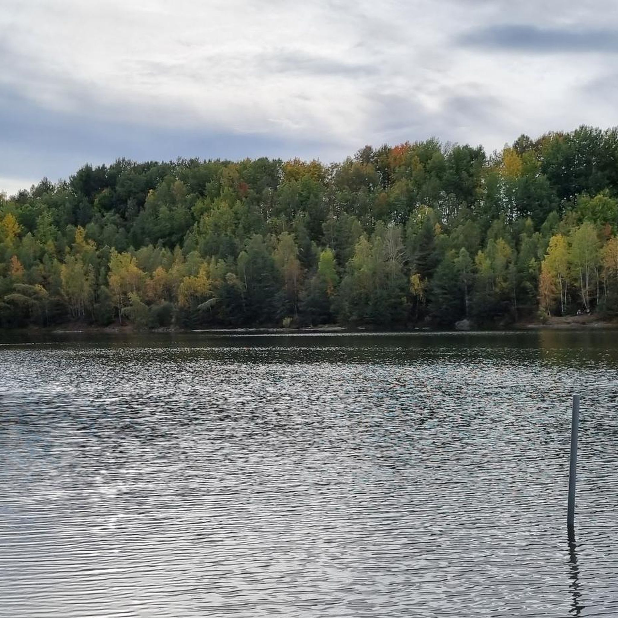
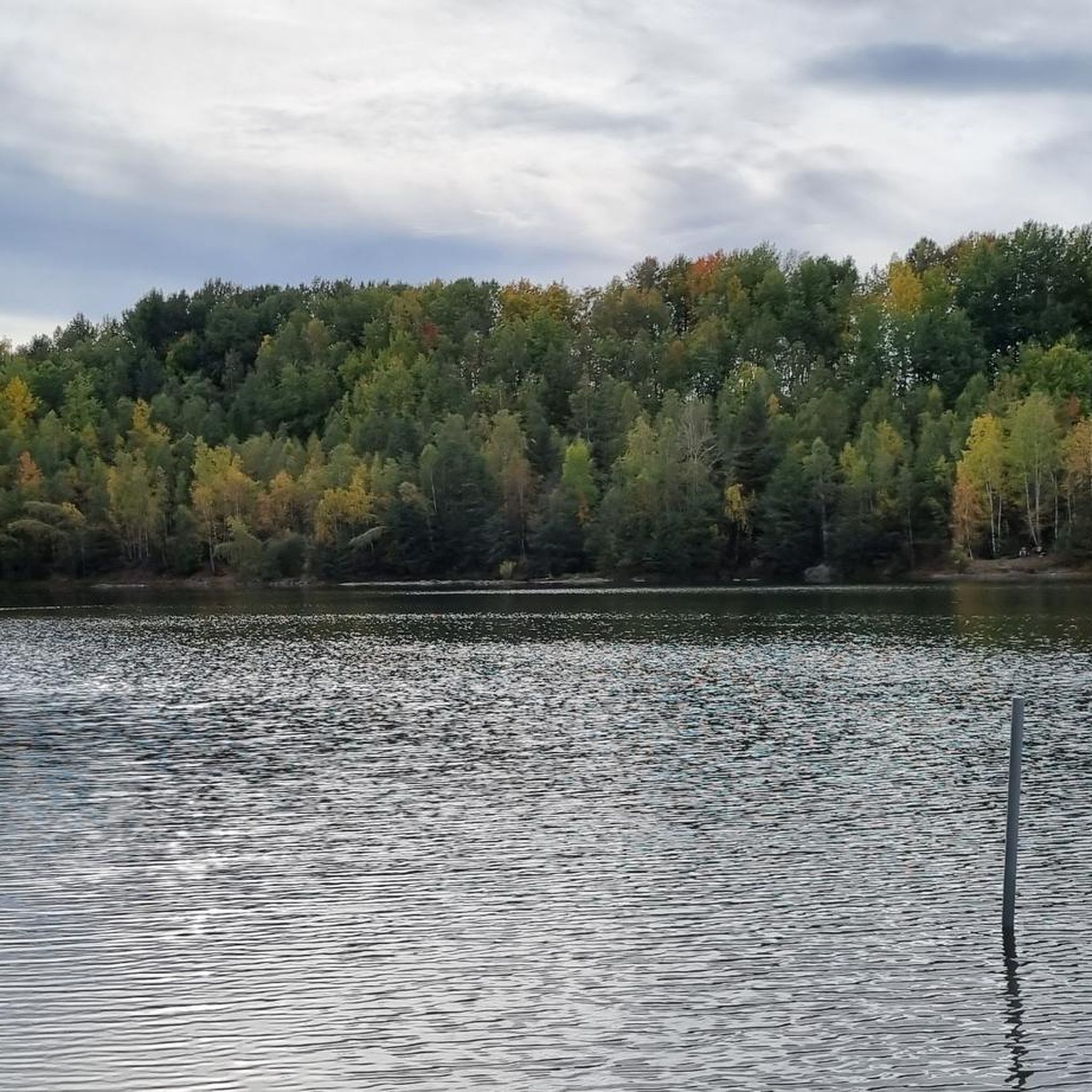
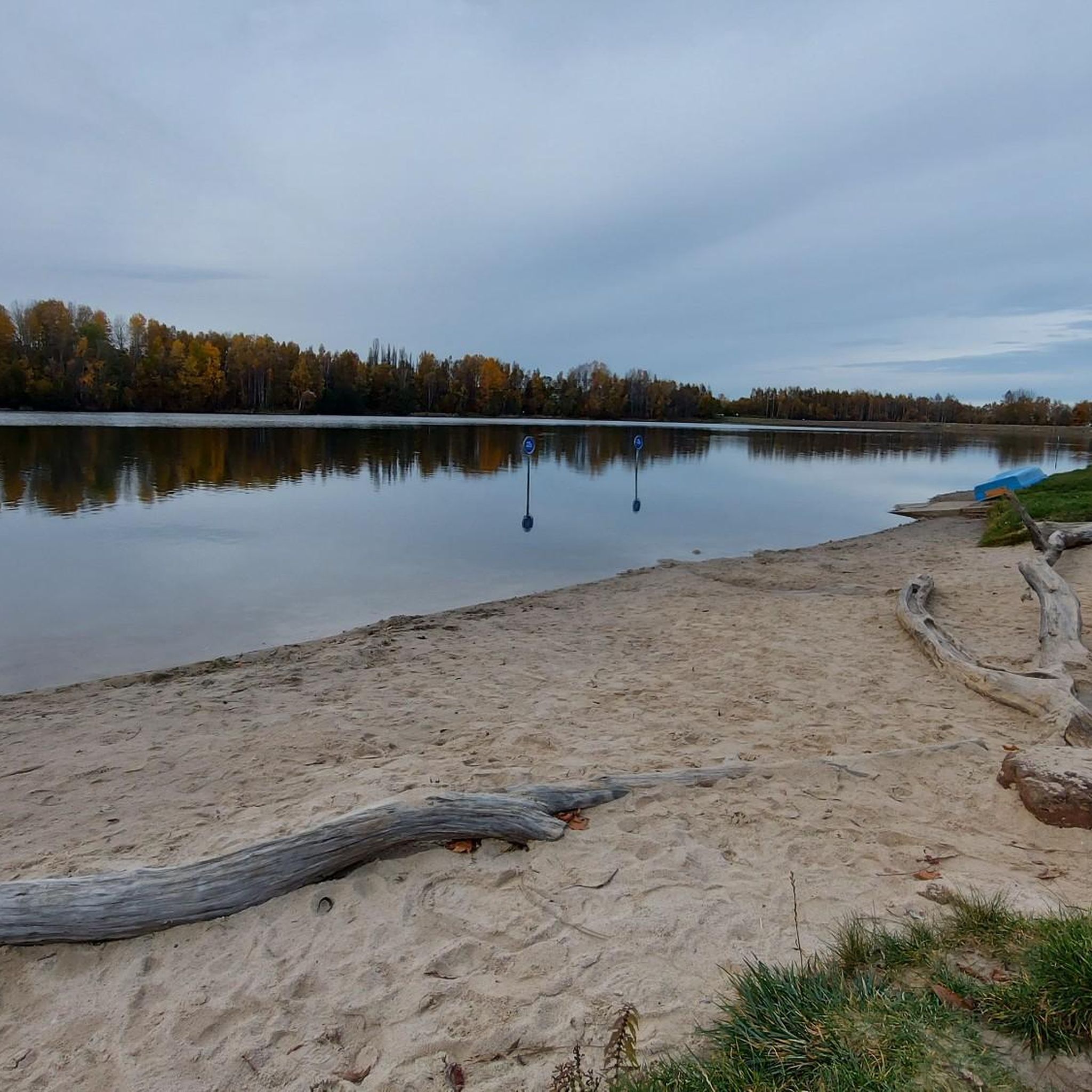
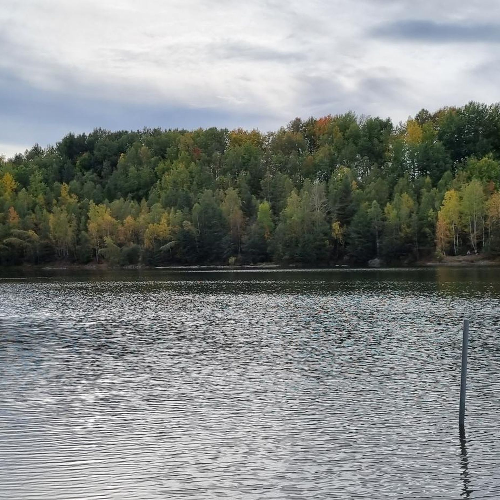
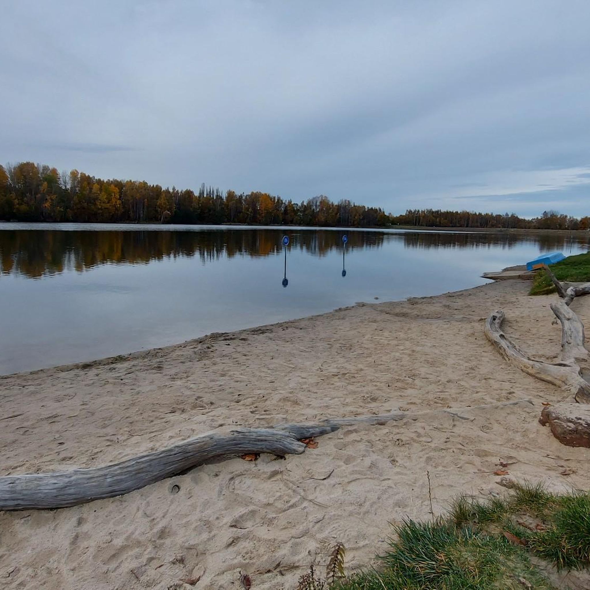
Gravel biking around Stausee Oberwald features a landscape characterized by reservoirs, rolling hills, and forested areas. The region offers a mix of terrain, from paths around the Stausee Oberwald reservoir to routes leading to observation towers and castle viewpoints. Elevations are generally moderate, with some trails including more significant climbs.
Best gravel bike trails around Stausee Oberwald
- The most popular gravel bike trail is Totenstein Observation Tower – Bench at Am Totenstein loop from Callenberg, a 19.4 miles (31.2…
Last updated: July 2, 2026
5.0
(1)
15
riders
31.4km
02:04
390m
390m
Hard gravel ride. Good fitness required. You may need to push your bike for some segments of this route.
5.0
(2)
11
riders
58.9km
03:32
650m
650m
Hard gravel ride. Very good fitness required. You may need to push your bike for some segments of this route.

Sign up for free
6
riders
22.9km
01:17
230m
230m
Moderate gravel ride. Good fitness required. Mostly paved surfaces. Suitable for all skill levels.
7
riders
Moderate gravel ride. Good fitness required. Mostly paved surfaces. Suitable for all skill levels.
5.0
(3)
14
riders
Hard gravel ride. Very good fitness required. You may need to push your bike for some segments of this route.
Get access to more routes and recommendations from other explorers.
Sign up for free
Already have an account?
Our route recommendations are based on thousands of hikes, rides, and runs completed by other people on komoot.
Start today with a free account
Your next adventure awaits.
Login or Signup
Tips from the Community

A proud and beautiful castle, great, only it could use a new coat of paint on the outside!
0
0

The cycle path now goes all the way to Wüstenbrand. Perfect.
1
0

Portal of Quiet Nature Enjoyment, in Grünfelder Park in Waldenburg. Information: Renaissance portal made of red sandstone, originally from Waldenburg Castle, which burned down in 1619. It bears an inscription from the park's founding: "To Quiet Nature Enjoyment." It was initially displayed as a ruin and received its current appearance after renovations in 1844.
2
0

A wonderful destination for a day trip and highly recommended.
0
0

incredibly beautiful, so idyllic and always different
0
0
Here on the bridge you have a great view of Waldenburg
2
1

Rochsburg Castle, probably founded in the late 12th century, stands on a rocky outcrop above the village of Rochsburg, a district of Lunzenau in Saxony, surrounded on three sides by the Zwickauer Mulde River. It is located in the Mulden-Chemnitztal landscape conservation area and is completely enclosed by the Mittleres Zwickauer Muldental (Middle Zwickauer Mulden Valley) protected area, the Täler in Mittelsachsen (Talles in Central Saxony) bird sanctuary, and the Um die Rochsburg nature reserve. Source: Wikipedia
0
0

Frequently Asked Questions
How many gravel bike trails are available around Stausee Oberwald?
There are over 50 gravel bike trails around Stausee Oberwald, offering a diverse range of experiences for all skill levels. The region features a mix of easy, moderate, and difficult routes, with 4 easy, 35 moderate, and 19 difficult trails.
What is the general difficulty level of gravel biking around Stausee Oberwald?
Gravel biking around Stausee Oberwald offers a varied experience. While many routes feature moderate terrain with rolling hills and reservoir-side paths, some trails include more significant climbs, particularly those leading to observation towers. You'll find a good mix of easy, moderate, and difficult options to suit your preference.
Are there any family-friendly gravel bike routes in the Stausee Oberwald region?
Yes, there are several options suitable for families. Routes that stick closer to the reservoir, like the Oberwald Reservoir – Callenberg Cycle Path loop from Falken, are generally moderate and offer scenic views without overly challenging climbs, making them enjoyable for a family outing.
What kind of views and landmarks can I expect along the gravel bike trails?
The trails around Stausee Oberwald offer diverse scenery. You can expect views of the Oberwald Reservoir, forested areas, and rolling hills. Some routes also lead to observation towers, providing panoramic vistas, or pass by historic sites like the Klaffenbach Water Castle.
Are there any circular gravel bike routes available?
Yes, many of the gravel bike routes in the area are designed as loops. For example, the challenging Totenstein Observation Tower – Bench at Am Totenstein loop from Callenberg and the moderate Oberwald Reservoir – Callenberg Cycle Path loop from Falken are both excellent circular options.
What is the best season for gravel biking around Stausee Oberwald?
The best seasons for gravel biking around Stausee Oberwald are typically spring, summer, and autumn. During these months, the weather is generally mild, and the trails are in good condition. Autumn offers particularly beautiful scenery with changing foliage.
What are the typical distances and elevations for gravel bike routes in this area?
Route distances vary significantly, from shorter loops around the reservoir to longer excursions. For instance, the Oberwald Reservoir – Callenberg Cycle Path loop is about 13.9 miles (22.3 km) with around 195 meters of elevation gain, while the Old Brickyard Recreation Area – Klaffenbach Water Castle loop covers 36.7 miles (59.0 km) with approximately 660 meters of ascent.
Are there cafes or places to refuel near the gravel trails?
While specific cafes directly on every trail are not guaranteed, the Stausee Oberwald area is a popular recreational spot. You can often find refreshment options near the main reservoir area or in the nearby towns and villages that serve as starting points for many routes, such as Hohenstein-Ernstthal or Callenberg.
What do other gravel bikers enjoy most about the Stausee Oberwald region?
The area is highly rated by the komoot community, with an average score of 4.7 stars. Reviewers often praise the varied terrain, the scenic views of the reservoir and surrounding forests, and the well-maintained paths that make for an enjoyable gravel biking experience.
Are there any facilities for e-bikes in the area?
Yes, for e-bike users, there is an E-Bike Charging Station at Odenwald Reservoir, making it convenient to recharge your battery during longer rides or before heading out.
Where can I find parking for gravel biking around Stausee Oberwald?
Parking is generally available at popular starting points for trails, particularly around the Stausee Oberwald reservoir itself and in the nearby towns and villages like Callenberg, Falken, or Hohenstein-Ernstthal. Look for designated parking areas near recreational facilities or trailheads.
Most popular routes around Stausee Oberwald
Most popular attractions around Stausee Oberwald

Get inspired with the komoot mobile app


Explore more
Browse the best Gravel rides in other regions.
