The best gravel rides around Stausee Hohenfelden
4.3
(17)
73
riders
23
rides
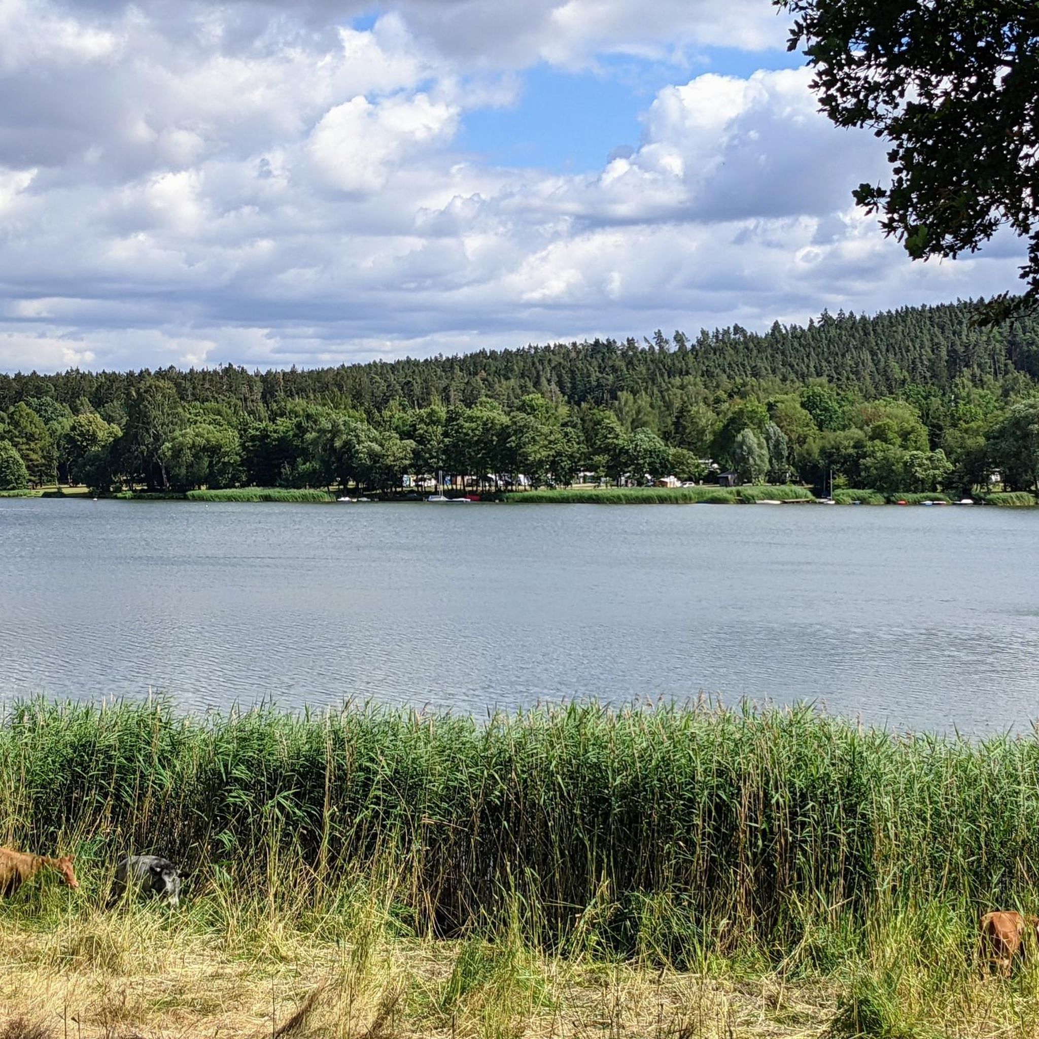
Gravel biking around Stausee Hohenfelden offers routes through a landscape characterized by the Hohenfelden reservoir, surrounding forests, and rolling hills. The region provides varied terrain suitable for gravel bikes, including paths along the water and through wooded areas. Elevations are generally moderate, with some routes featuring more significant climbs.
Best gravel bike trails around Stausee Hohenfelden
- The most popular gravel bike trail is Ilmtal Cycle Path – Hohenfelden Reservoir loop from Riechheim, a 23.9 miles (38.5 km) trail that…
Last updated: July 3, 2026
4.1
(10)
22
riders
38.4km
02:11
430m
430m
Hard gravel ride. Good fitness required. You may need to push your bike for some segments of this route.
5.0
(1)
4
riders
47.4km
02:54
570m
560m
Hard gravel ride. Very good fitness required. Mostly paved surfaces. Suitable for all skill levels.

Sign up for free
5
riders
26.7km
01:30
300m
300m
Moderate gravel ride. Good fitness required. Mostly paved surfaces. Suitable for all skill levels.
3.5
(2)
15
riders
44.5km
02:30
430m
430m
Moderate gravel ride. Good fitness required. Mostly paved surfaces. Suitable for all skill levels.
Get access to more routes and recommendations from other explorers.
Sign up for free
Already have an account?
Our route recommendations are based on thousands of hikes, rides, and runs completed by other people on komoot.
Start today with a free account
Your next adventure awaits.
Login or Signup


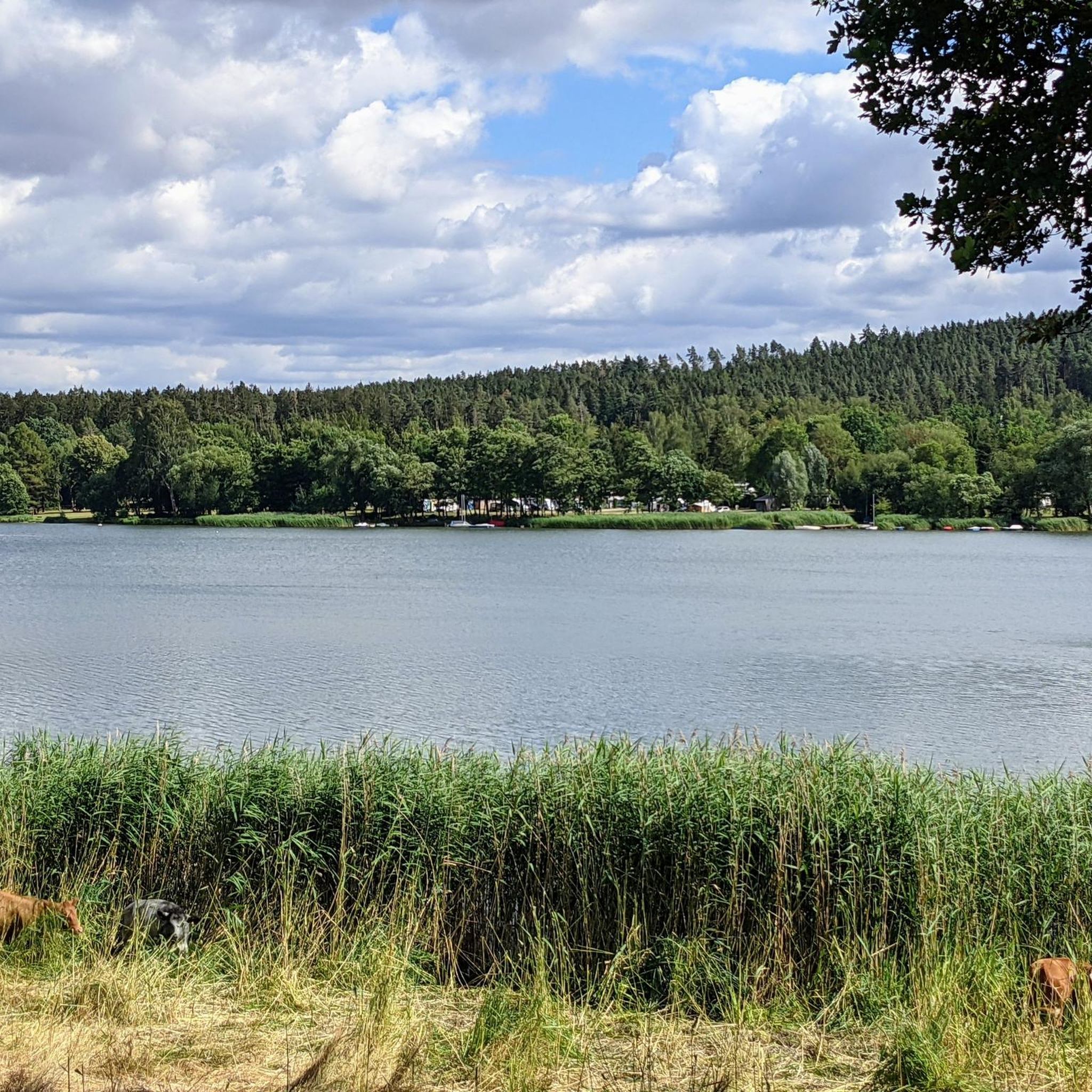
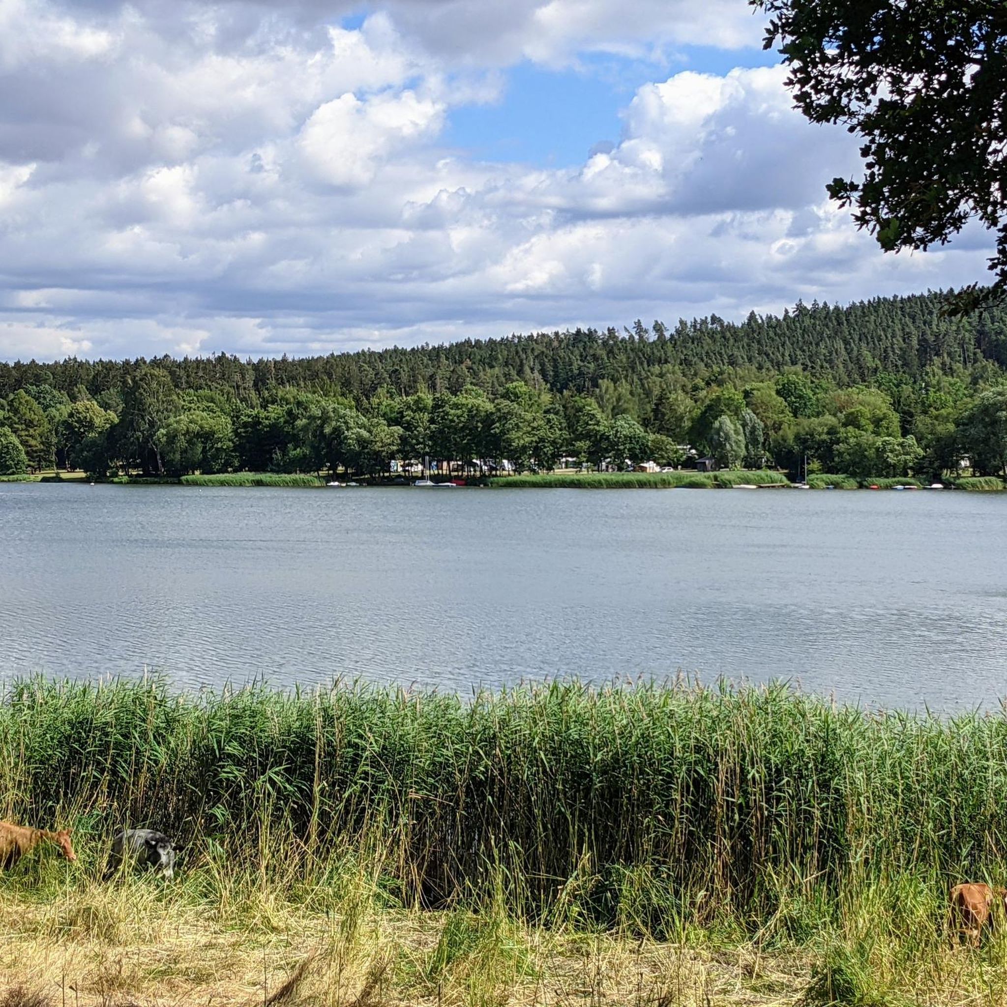
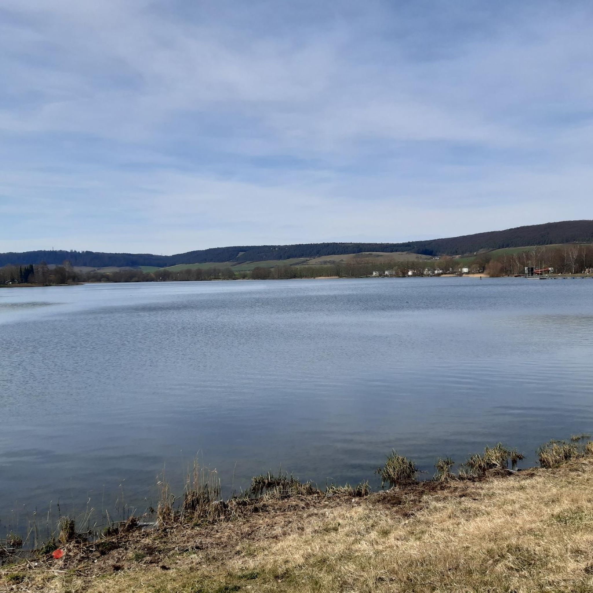
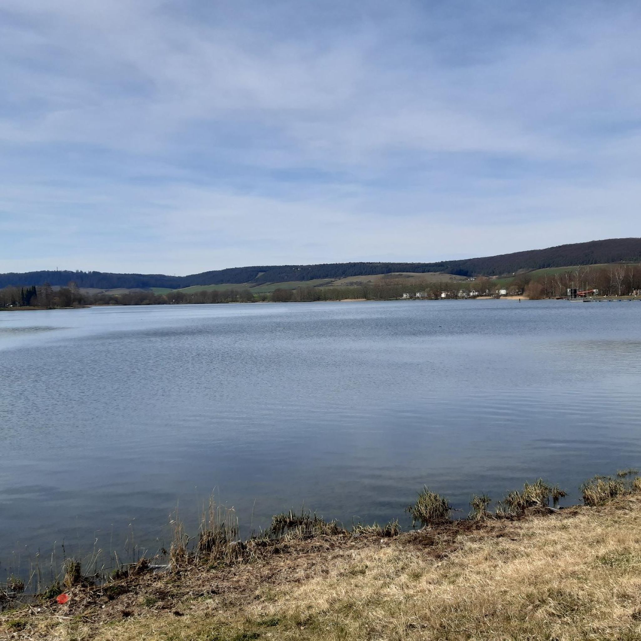
Other adventures around Stausee Hohenfelden

Tips from the Community

That was the only really beautiful stretch of bike path on this bike tour.
1
0

Large forest intersection near Achelstedt.
0
0

Easy-to-ride cycle path, partly gravel, otherwise good asphalt...
0
0

The Buchfarter Felsenburg, located on the steep shell limestone slope of the Illm River, is the only structure of its type in Central Germany and of particular cultural and historical significance. It was originally a castle complex belonging to the Counts of Orlamünde. Around the 12th century, 12 chambers of varying sizes were carved into the steep rock face in a row extending approximately 110 meters in length and at a height of 40 meters above the Illm River. The chambers were connected by a Romanesque hillside wall. Some wall remains and a round-arched doorway are still visible today. The rock castle had no military significance in the late Middle Ages. However, it served as a fully developed, impregnable refuge for a long line of counts, dukes, and electors.
18
0

The town hall is located in the heart of the city center, on the market square. Traffic in the city center was very quiet and orderly.
0
0

Big hut but the grill is locked.
6
0

Yes, it's reborn. Right now, the wings are still missing.
2
3

Ilm cycle path towards Ziegengraben, very nice to cycle here.
0
0
Frequently Asked Questions
How many gravel bike trails are available around Stausee Hohenfelden?
There are over 25 gravel bike trails in the Stausee Hohenfelden region. These routes vary in difficulty, offering options for different skill levels, from moderate to challenging.
What is the best time of year for gravel biking around Stausee Hohenfelden?
The Stausee Hohenfelden area is enjoyable for gravel biking throughout much of the year. Spring and autumn offer pleasant temperatures and beautiful scenery, especially with the changing foliage around the reservoir and forests. Summer is also great, but be prepared for more sun exposure on open sections.
Are there any easy gravel bike routes suitable for beginners or families?
Yes, while many routes are moderate to difficult, there are options suitable for beginners. The region features paths along the reservoir and through gentle terrain. For a less strenuous ride, look for routes with lower elevation gains and shorter distances. One moderate option is the Weimar Market Square – Ilmtal Cycle Path loop from Bad Berka, which offers a scenic ride without extreme challenges.
Where can I find parking for gravel biking near Stausee Hohenfelden?
Parking is generally available at various points around Stausee Hohenfelden and in nearby towns. Many routes start from villages like Riechheim, Hayn, or Schellroda, which typically have designated parking areas. It's advisable to check the starting point of your chosen route for specific parking information.
What kind of scenery can I expect on the gravel bike trails?
The gravel bike trails around Stausee Hohenfelden offer diverse scenery. You'll ride along the shores of the Hohenfelden Reservoir, through dense forests, and across rolling hills. Many routes provide scenic viewpoints overlooking the water and the surrounding Thuringian landscape. You might also encounter charming villages and open fields.
Are there any challenging gravel bike routes for experienced riders?
Absolutely. The region offers several challenging routes with significant elevation gains and longer distances. For example, the Saale River at Maua – Paradise Park, Jena loop from Bad Berka is a difficult 49.3-mile (79.3 km) route with over 700 meters of elevation gain, perfect for experienced gravel bikers seeking a demanding ride.
Can I find circular gravel bike routes around Stausee Hohenfelden?
Yes, many of the gravel bike routes in the Stausee Hohenfelden area are designed as loops, allowing you to start and finish at the same point. This makes planning your ride convenient, as you don't need to arrange for transport back to your starting location. You'll find various circular options covering different distances and difficulties.
What interesting landmarks or attractions can I see along the trails?
Beyond the natural beauty of the reservoir and forests, you can encounter several interesting landmarks. The Hohenfelden Reservoir itself is a central feature. You might also spot the Erna wooden sculpture at Hohenfelden Reservoir or visit the Thuringian Open-Air Museum Hohenfelden, which offers a glimpse into regional history. Many routes also pass by charming viewpoints like the View of the lake.
Are there any cafes or places to stop for refreshments along the gravel bike trails?
While specific cafes directly on every trail segment might be limited, the towns and villages surrounding Stausee Hohenfelden, such as Hohenfelden, Bad Berka, or Kranichfeld, offer various options for refreshments, including cafes, restaurants, and bakeries. Planning your route to pass through these settlements will allow for convenient stops.
What do other gravel bikers say about the trails in Stausee Hohenfelden?
The gravel biking routes around Stausee Hohenfelden are highly rated by the komoot community, with an average score of 4.4 stars from over 15 reviews. Riders often praise the varied terrain, the beautiful reservoir views, and the peaceful forest sections, making it a popular destination for gravel enthusiasts.
How long do gravel bike trails typically take to complete in this region?
The duration of gravel bike trails around Stausee Hohenfelden varies significantly based on distance, elevation, and your riding pace. Shorter, moderate routes like the 16.6-mile (26.7 km) loop near the reservoir might take around 1 hour 30 minutes, while longer, more challenging routes can extend to 3-5 hours or more, such as the 49.3-mile (79.3 km) routes that can take over 5 hours.
Most popular routes around Stausee Hohenfelden
Most popular attractions around Stausee Hohenfelden

Get inspired with the komoot mobile app


Explore more
Browse the best Gravel rides in other regions.
