The best gravel rides around Dam Ratscher
4.7
(37)
112
riders
23
rides
Gravel biking around Dam Ratscher offers a diverse landscape characterized by reservoirs, lakes, and forested areas. The region features varied terrain, including both gentle paths and more challenging ascents, suitable for gravel bikes. Elevation gains are common, with routes often leading through valleys and along water bodies. The area provides a network of trails that cater to different skill levels.
Best gravel bike trails around Dam Ratscher
- The most popular gravel bike trail is Schönbrunn Reservoir – View of the…
Last updated: July 3, 2026
4.5
(4)
14
riders
Hard gravel ride. Very good fitness required. Mostly paved surfaces. Suitable for all skill levels.
5.0
(1)
5
riders
44.8km
03:00
750m
750m
Hard gravel ride. Very good fitness required. Mostly paved surfaces. Suitable for all skill levels.

Sign up for free
5.0
(3)
16
riders
Hard gravel ride. Very good fitness required. Mostly paved surfaces. Suitable for all skill levels.
4.7
(7)
9
riders
50.9km
03:28
1,060m
1,060m
Hard gravel ride. Very good fitness required. You may need to push your bike for some segments of this route.
4.4
(5)
14
riders
Moderate gravel ride. Good fitness required. Mostly paved surfaces. Suitable for all skill levels.
Get access to more routes and recommendations from other explorers.
Sign up for free
Already have an account?
Our route recommendations are based on thousands of hikes, rides, and runs completed by other people on komoot.
Start today with a free account
Your next adventure awaits.
Login or Signup
Tips from the Community

Those who push ahead from Masserberg towards Langertfelsen and Neustadt on the Rennsteig will be rewarded with distant views and plenty of mountain air.
0
0

Comfortable pass ride with moderate gradients.
0
0
Comfortable pass ride, the gradient is kept well within limits.
0
0


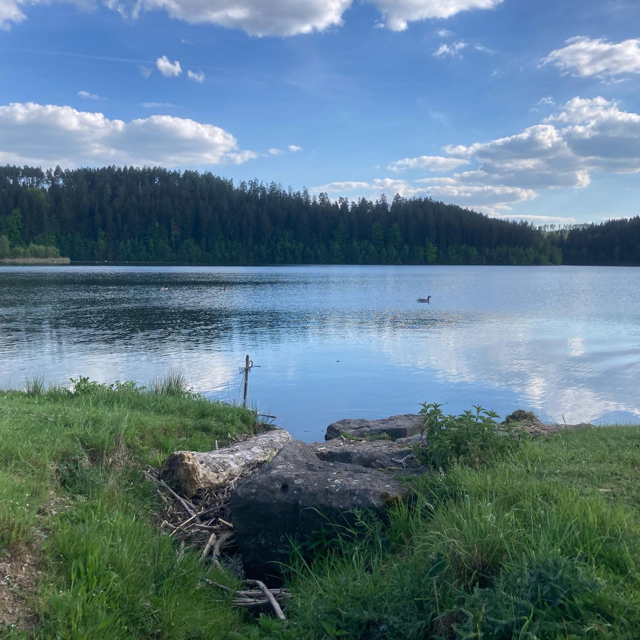
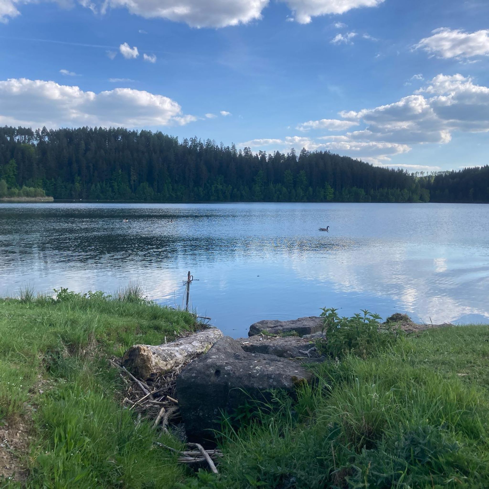
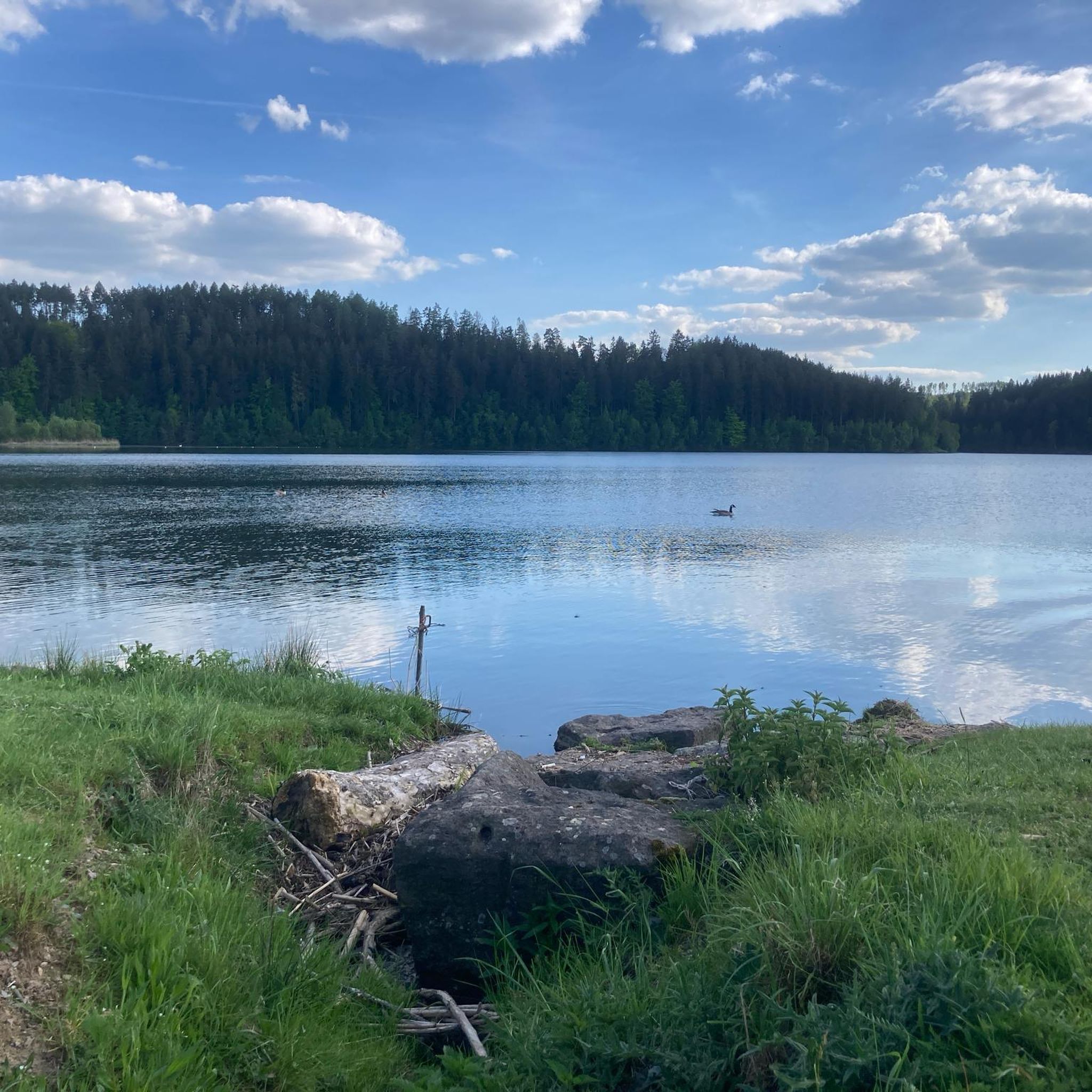
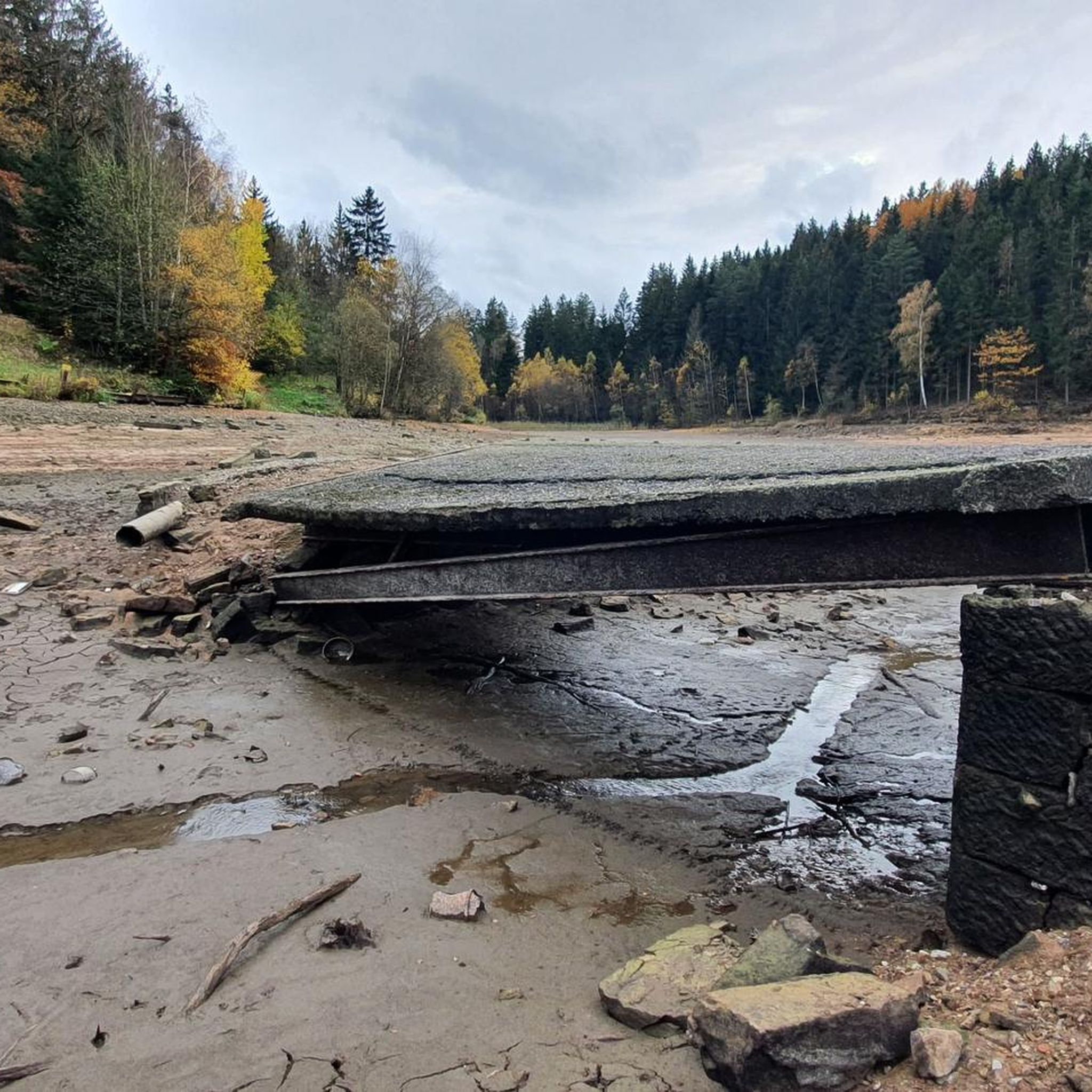
Cycle path at Ratscher See, unfortunately without water 😩
0
1
Wonderfully long descent to Hirschbach with beautiful views 🚵👍🙂
1
0
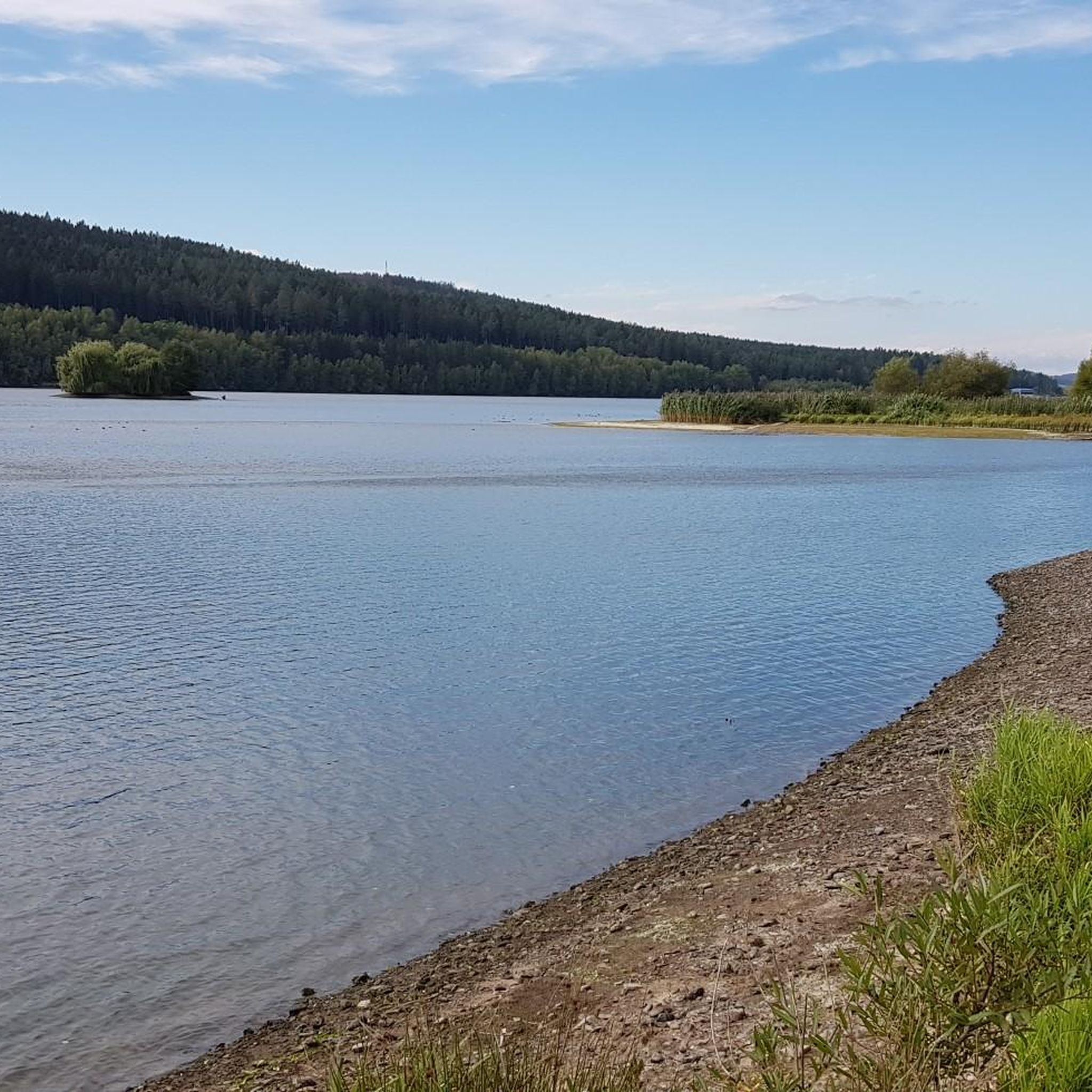
Fore-dam of the Schönbrunn drinking water reservoir 🙂
0
0
Frequently Asked Questions
What is the overall difficulty level of gravel bike trails around Dam Ratscher?
The Dam Ratscher region offers a diverse range of gravel bike trails, catering to various skill levels. You'll find routes classified as moderate, such as the View of the Schönbrunn Reservoir – View of the Schönbrunn Reservoir loop from Waldau, as well as more challenging options for experienced riders.
Are there beginner-friendly gravel bike routes in Dam Ratscher?
While many routes feature varied terrain and elevation gains, there are options suitable for those newer to gravel biking. The region has 2 easy routes and 14 moderate routes out of 30 total, offering gentler paths, especially around the reservoirs and lakes, though specific beginner-only routes are not explicitly highlighted in the top selections.
What are good starting points for gravel bike tours around Dam Ratscher?
Popular starting points often include Waldau and Nahetal-Waldau, as seen in routes like the Lake Ratscher – Waldau–Ratscher Cycle Path loop from Waldau and the Werra Spring Fehrenbach – Lake Ratscher loop from Nahetal-Waldau. Schleusingen is another option, as a starting point for the View of the Schönbrunn Reservoir – Schönbrunn Reservoir loop from Schleusingen.
What is the typical length of gravel bike trails in the Dam Ratscher area?
The gravel bike trails in Dam Ratscher vary significantly in length. For instance, the View of the Schönbrunn Reservoir loop is about 19.6 miles (31.6 km), while longer routes like the Lake Ratscher – Waldau–Ratscher Cycle Path loop extend to 33.7 miles (54.3 km). You can expect routes generally ranging from 20 to over 30 miles.
Are there family-friendly gravel bike routes near Dam Ratscher?
While specific 'family-friendly' routes are not explicitly detailed, the region's diverse network includes easier paths, particularly those that stick closer to the reservoirs and lakes. These flatter sections might be more suitable for families, though some routes do involve significant elevation changes.
When is the best time of year to go gravel biking in Dam Ratscher?
The best time for gravel biking in Dam Ratscher is generally from spring through autumn, when the weather is milder and trails are dry. The forested areas and lakeside paths are particularly enjoyable during these seasons.
What are the conditions like for gravel biking in Dam Ratscher during winter?
Winter conditions in Dam Ratscher can include snow and ice, especially in higher elevations and forested areas. Trails may become muddy or impassable. It's advisable to check local weather and trail conditions before heading out during the colder months.
Are there challenging gravel bike routes for experienced riders around Dam Ratscher?
Yes, experienced riders will find plenty of challenging routes. Many trails are rated 'difficult' and feature significant elevation gains, such as the Highest Point of the Rennsteig – Bierfleck Trail Junction loop from Schleusingen, which includes over 1000 meters of ascent.
What kind of views can I expect along the gravel bike routes?
The routes around Dam Ratscher offer scenic views of reservoirs, lakes, and expansive forested valleys. You'll often ride along water bodies and through varied terrain, providing picturesque landscapes throughout your journey.
Are there any loop gravel bike routes in the Dam Ratscher area?
Yes, many of the popular gravel bike routes in Dam Ratscher are designed as loops, allowing you to start and finish at the same point. Examples include the View of the Schönbrunn Reservoir loop and the Werra Spring Fehrenbach – Lake Ratscher loop.
What do other gravel bikers enjoy the most about gravel biking in Dam Ratscher?
The area is highly rated by the komoot community, with an average score of 4.7 stars. Reviewers often praise the varied terrain, the beautiful reservoir and lake views, and the extensive network of trails that cater to different abilities.
How many gravel bike trails are available in Dam Ratscher?
There are over 30 gravel bike trails available in the Dam Ratscher region, offering a wide selection for different preferences and skill levels.
Most popular routes around Dam Ratscher

Get inspired with the komoot mobile app


Explore more
Browse the best Gravel rides in other regions.
