The best gravel rides around Dam Wechmar
4.8
(21)
136
riders
19
rides
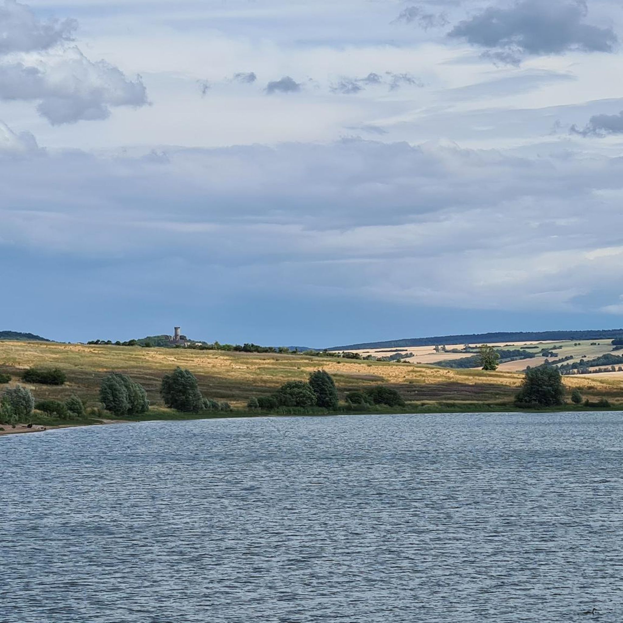
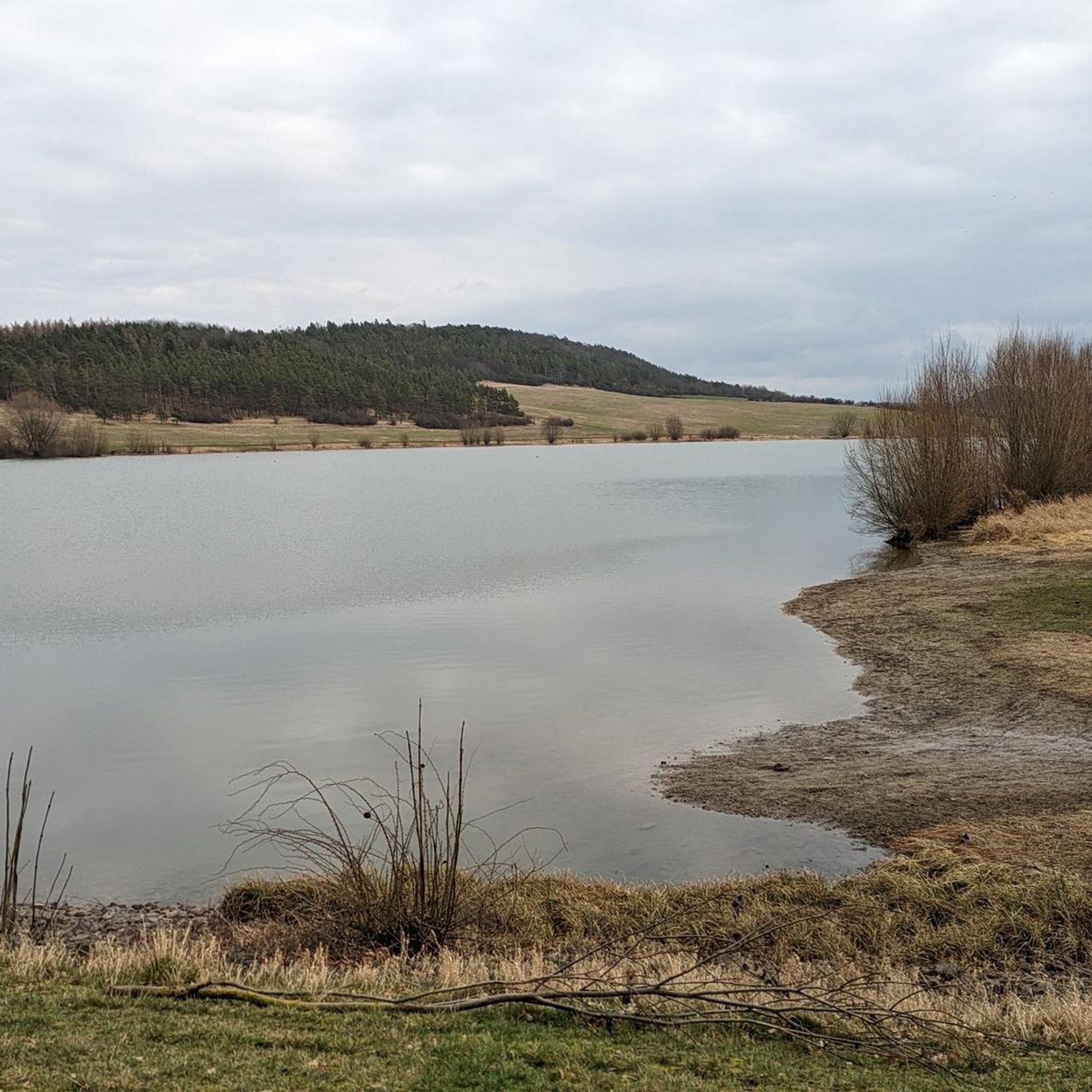
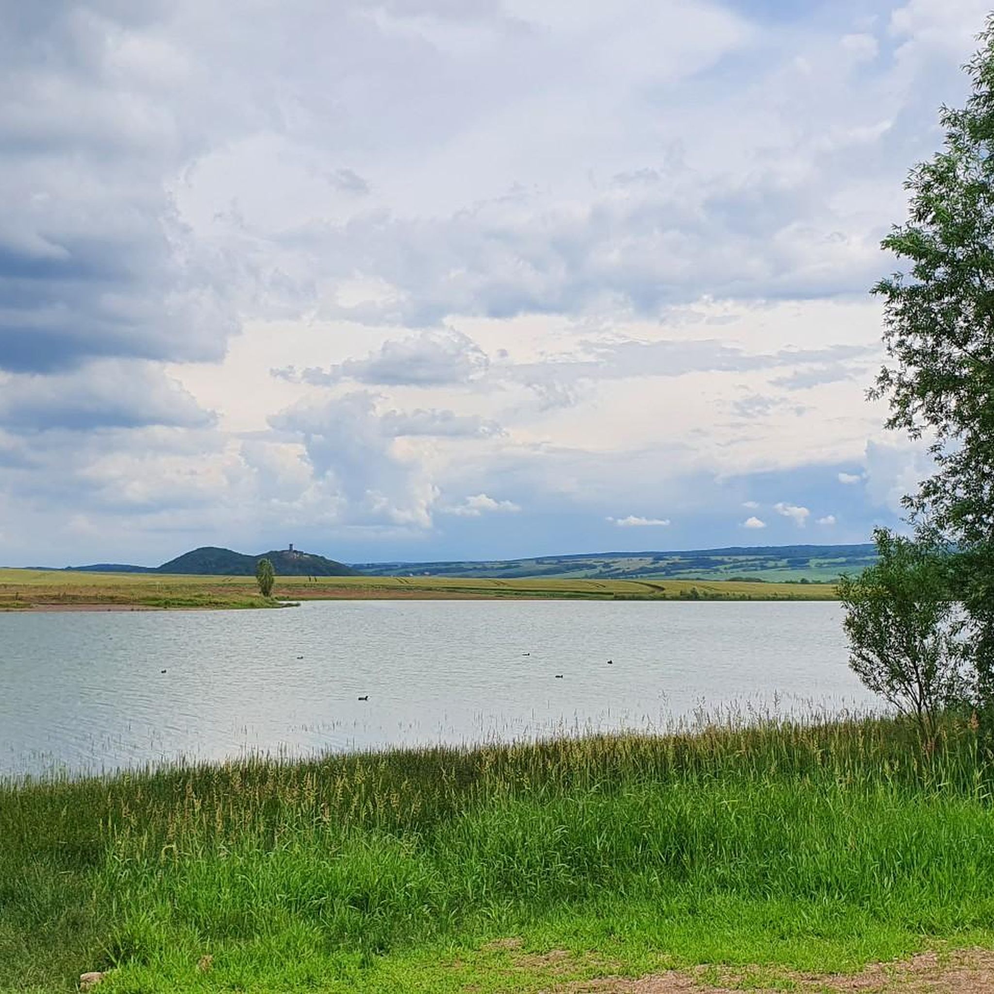
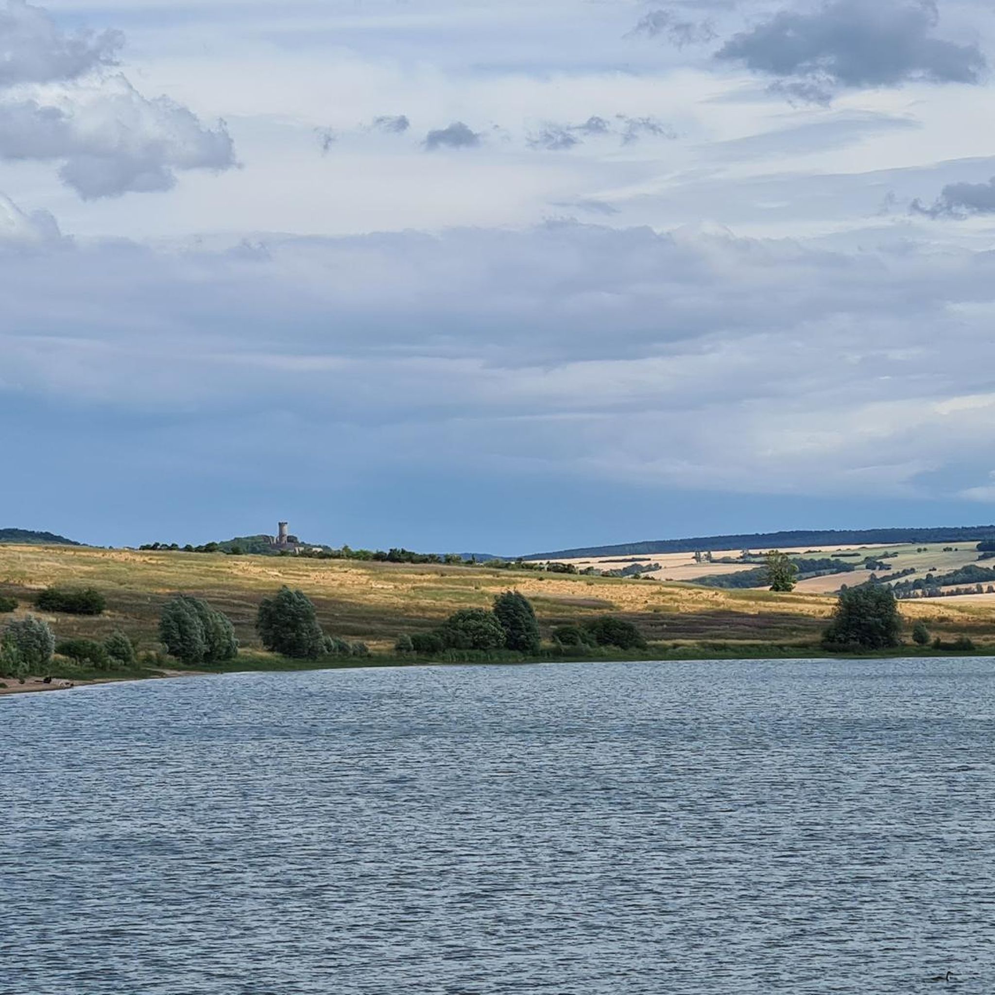
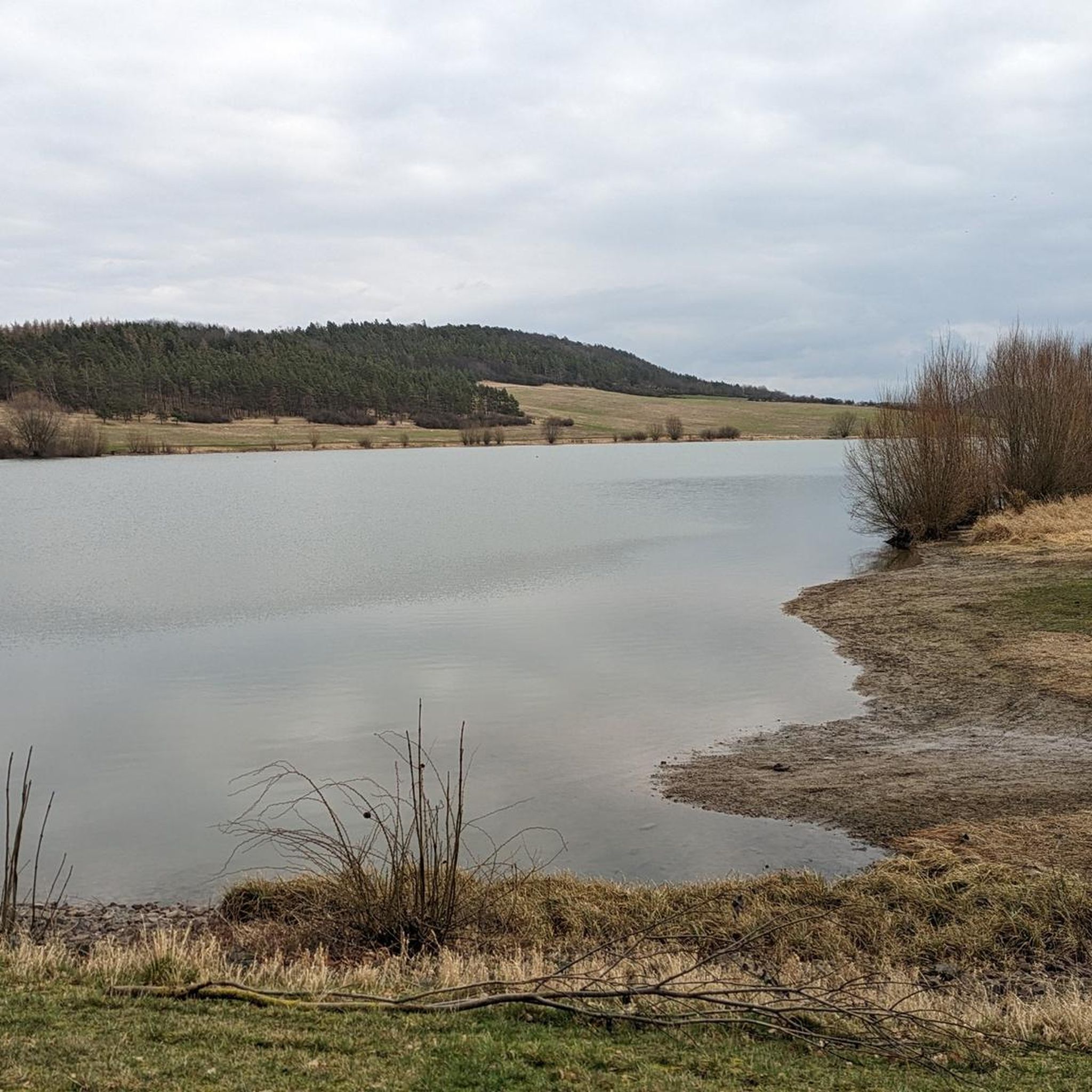
Gravel biking around Dam Wechmar features a landscape characterized by rolling hills and river valleys, offering diverse terrain for off-road cycling. The region includes historical landmarks and forested sections, providing varied surfaces for gravel bike trails. The Talsperre Wechmar, a man-made lake, offers expansive views, while the adjacent Röhnberg nature reserve contributes to a rich natural experience with tranquil surroundings. This area provides a mix of open paths and more sheltered routes suitable for gravel cycling.
Best gravel bike trails…
Last updated: July 2, 2026
5.0
(2)
14
riders
66.2km
03:42
420m
420m
Hard gravel ride. Good fitness required. You may need to push your bike for some segments of this route.
4.6
(7)
52
riders
64.8km
03:35
590m
590m
Hard gravel ride. Very good fitness required. Mostly paved surfaces. Suitable for all skill levels.

Sign up for free
15
riders
35.1km
02:03
230m
230m
Moderate gravel ride. Good fitness required. Mostly paved surfaces. Suitable for all skill levels.
5.0
(3)
8
riders
32.4km
02:03
200m
200m
Moderate gravel ride. Good fitness required. Mostly paved surfaces. Suitable for all skill levels.
5.0
(2)
8
riders
Moderate gravel ride. Good fitness required. Mostly paved surfaces. Suitable for all skill levels.
Get access to more routes and recommendations from other explorers.
Sign up for free
Already have an account?
Our route recommendations are based on thousands of hikes, rides, and runs completed by other people on komoot.
Start today with a free account
Your next adventure awaits.
Login or Signup
Tips from the Community

Here is information from the Gotha Tourist Office: https://www.tourismus-thueringer-wald.de/sichtweisen-2/buergerturm-gotha
0
0


A beautiful place with various highlights, sights and places to eat.
0
0

Benedict's Square in Erfurt is a historic square located at the western entrance to the Merchants' Bridge (Krämerbrücke) in the Old Town. It was first mentioned in 1510 under the name "Für der Krämerbrucken" (For the Merchants' Bridge). Later, in 1817, it was renamed "Vor der Krämerbrücke" (Before the Merchants' Bridge). Finally, in 1831, the square was named Benedict's Square in remembrance of the Benedictine Church that once stood there. This renaming occurred after the church was sold and subsequently demolished in 1809/1810 by the French General Domains Director Gentil. Several streets and squares converge at Benedict's Square, including Michaelisstraße, Kreuzgasse, the Merchants' Bridge, the Town Hall Bridge, and the Fish Market. https://www.die-kraemerbruecke.de/benediktsplatz-erfurt/
0
0

I can highly recommend this area - it's so great, interesting and varied.
0
0


Well-paved cycle path between Möbisburg and Ingersleben
0
0
Beautiful and relaxing route.
0
0
Frequently Asked Questions
How many gravel bike trails are available around Dam Wechmar?
There are over 35 gravel bike trails around Dam Wechmar, offering a diverse range of options for off-road cycling. These routes navigate through rolling hills, river valleys, and forested sections.
Are there gravel bike routes suitable for beginners in Dam Wechmar?
Yes, Dam Wechmar offers 4 easy gravel bike routes. These trails are generally less demanding, perfect for those new to gravel biking or looking for a relaxed ride through the region's scenic landscape of rolling hills and river paths.
Where can I find parking for gravel bike trails near Wechmar?
Many of the gravel bike routes around Dam Wechmar are loops that start and end in towns or villages like Günthersleben-Wechmar, Ohrdruf, Gotha, or Sülzenbrücken. You can typically find public parking options in these starting locations, often near local amenities.
What are some longer distance gravel cycling routes in the Dam Wechmar area?
For those seeking longer rides, the region offers several extensive gravel routes. One notable option is the View of Mühlburg – Mühlburg loop from Gotha, which spans over 47 miles (75 km) and features varied terrain and historical views. Another is the View of Jonastal – Gera Cycle Path near Arnstadt loop from Ohrdruf, a challenging 41.2 miles (66.3 km) path following the Gera Cycle Path.
Are there family-friendly gravel bike trails around Dam Wechmar?
While many routes in Dam Wechmar are rated moderate to difficult, the 4 easy trails are generally more suitable for families. These routes often feature smoother paths and less elevation gain, allowing for a more relaxed experience for riders of all ages. Always check the specific route details for suitability.
What is the best season for gravel biking in Dam Wechmar?
The spring and autumn months typically offer the most pleasant conditions for gravel biking in Dam Wechmar, with mild temperatures and vibrant scenery. Summer can also be enjoyable, though it's advisable to start earlier in the day to avoid the midday heat. Winter riding is possible, but trails may be muddy or icy, requiring appropriate gear.
Are there any advanced gravel cycling trails for experienced riders?
Yes, Dam Wechmar has 16 difficult gravel cycling trails designed for experienced riders. These routes often feature significant elevation changes, technical sections, and longer distances. An example is the View of Veste Wachsenburg – View of Jonastal loop from Gotha, a challenging 40.3 miles (64.8 km) route with considerable climbs.
What do other gravel bikers enjoy most about gravel biking in Dam Wechmar?
The komoot community highly rates the gravel biking experience in Dam Wechmar, with an average score of 4.5 stars from over 30 reviews. Riders often praise the diverse terrain, which includes rolling hills, river paths, and forested sections, as well as the scenic views of historical sites and natural landscapes.
Are there any loop gravel bike routes in the Dam Wechmar area?
Most of the gravel bike trails in Dam Wechmar are designed as loops, allowing you to start and finish at the same point. For instance, the popular View of Mühlburg – View of Veste Wachsenburg loop from Günthersleben-Wechmar is a 16.9 miles (27.2 km) circular route offering varied terrain and historical views.
Can I download GPX tracks for gravel bike trails in Dam Wechmar?
Yes, all komoot tours, including the gravel bike trails around Dam Wechmar, offer GPX track downloads. Once you've selected a route on komoot, you can easily download the GPX file to use with your preferred navigation device or app.
What kind of terrain can I expect on gravel bike trails in Dam Wechmar?
Gravel bike trails in Dam Wechmar feature a varied landscape characterized by rolling hills, river valleys, and forested sections. You'll encounter a mix of open paths, gravel roads, and some singletrack, providing diverse surfaces for off-road cycling. The region also includes historical landmarks along the routes.
Most popular routes around Dam Wechmar

Get inspired with the komoot mobile app


Explore more
Browse the best Gravel rides in other regions.
