The best gravel rides around Dam Rauschenbach
4.3
(41)
340
riders
30
rides
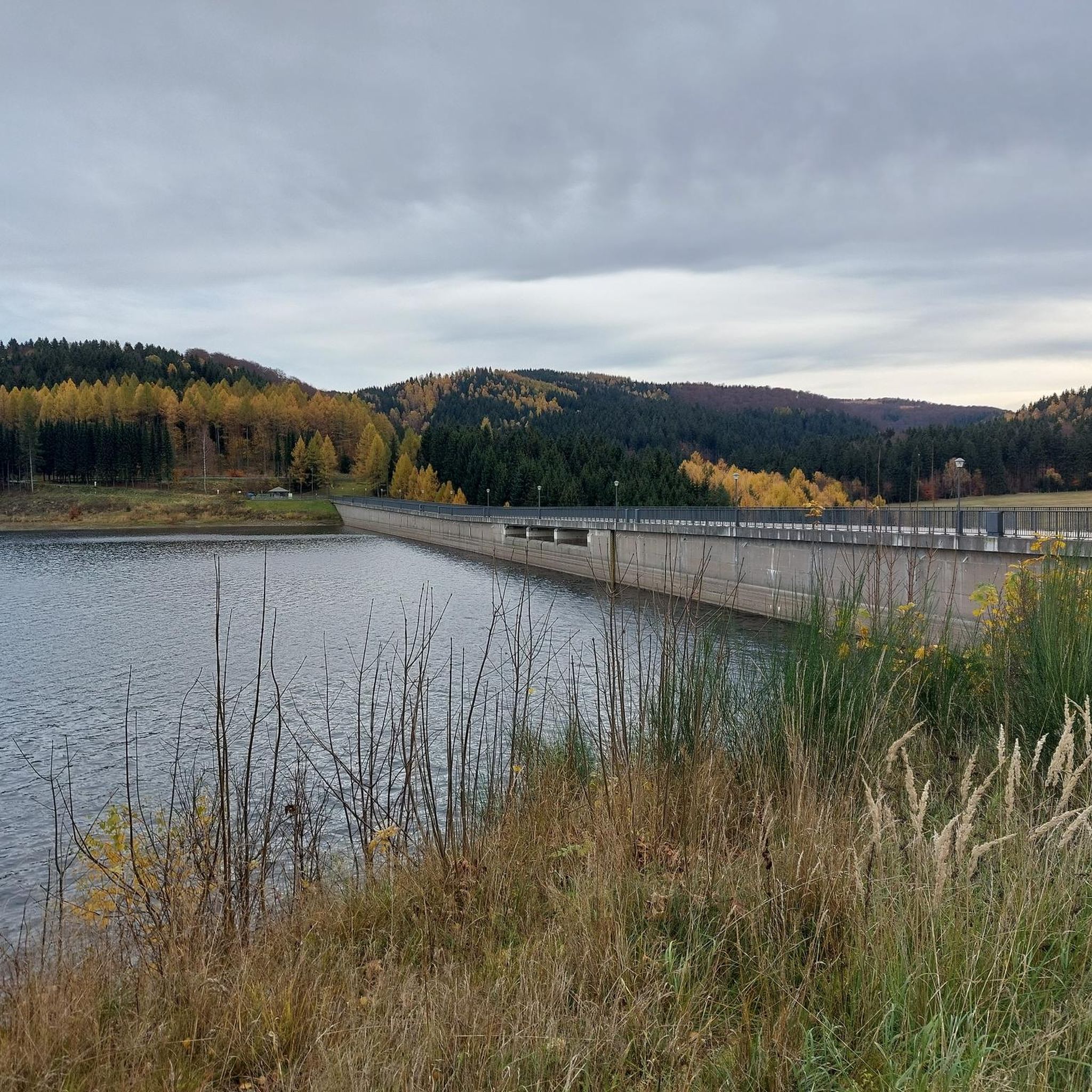
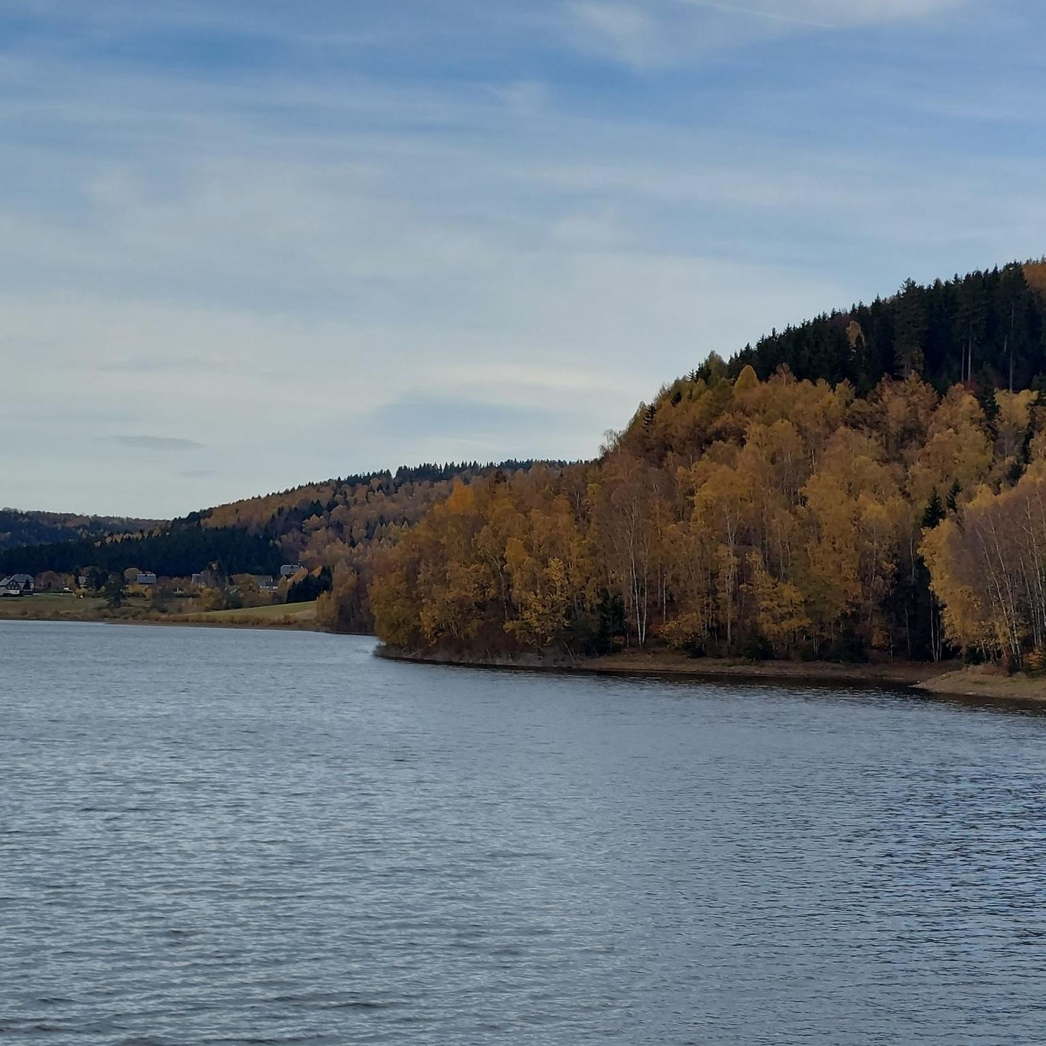
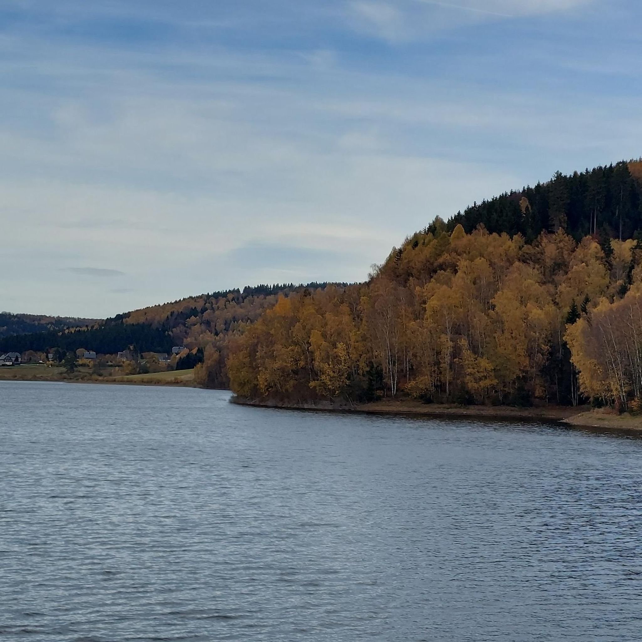
Gravel biking around Dam Rauschenbach features a landscape characterized by extensive forests, significant elevation changes, and the presence of reservoirs. The terrain includes challenging climbs and descents, often on varied surfaces suitable for gravel bikes. This region offers routes that traverse hills and provide views over the Rauschenbach Reservoir and surrounding mountain ranges. The trails are predominantly through wooded areas, offering a mix of natural surfaces.
Best gravel bike trails around Dam Rauschenbach
- The most popular gravel bike trail is…
Last updated: October 19, 2026
1.0
(1)
12
riders
75.8km
04:38
1,040m
1,040m
Hard gravel ride. Very good fitness required. Mostly paved surfaces. Suitable for all skill levels.
4.0
(2)
10
riders
34.1km
02:18
510m
510m
Hard gravel ride. Very good fitness required. Mostly paved surfaces. Suitable for all skill levels.

4.4
(12)
93
riders
66.0km
04:45
1,300m
1,300m
Hard gravel ride. Very good fitness required. You may need to push your bike for some segments of this route.
5.0
(2)
6
riders
Hard gravel ride. Very good fitness required. Mostly paved surfaces. Suitable for all skill levels.
4.6
(15)
109
riders
52.6km
03:51
970m
980m
Hard gravel ride. Very good fitness required. Mostly paved surfaces. Suitable for all skill levels.
Get access to more routes and recommendations from other explorers.
Already have an account?
Our route recommendations are based on thousands of hikes, rides, and runs completed by other people on komoot.
Start today with a free account
Your next adventure awaits.
Tips from the Community

A very beautiful and interesting hike around the Fláje reservoir. The history of the village of Fleyh, which had to be relocated for the construction of the dam, is particularly moving. Everything is explained very clearly on several information panels around the reservoir.
2
0


I really like the shelter that was added later. It protects the bench better and allows you to quickly take shelter from wind and weather. It's very comfortable to sit there.
2
0


Beautiful rest area. Now with a shelter. View of the Schwartenberg (Seiffen). Great panorama. This spot is highly recommended.
0
0
A beautiful spot to linger, with a lovely carved wooden bench. Especially lovely in the morning at sunrise. Definitely worth a stop.
1
0

Great route through the forest. The asphalt could be improved, but nature easily makes up for it.
2
0

Quiet country road with a great surface, wide, beautiful scenery, and "lonely."
1
1
Frequently Asked Questions
What are the typical difficulty levels for gravel bike trails around Dam Rauschenbach?
The gravel bike trails around Dam Rauschenbach are predominantly challenging, with 26 out of 31 routes rated as difficult. These often feature significant elevation changes and varied surfaces. There are also 4 moderate routes and 1 easy route available for those seeking a less strenuous ride.
Are there any family-friendly gravel biking options near Dam Rauschenbach?
While most routes are rated difficult, there is 1 easy route and 4 moderate routes that might be suitable for families with some biking experience. These trails generally offer less demanding terrain compared to the more challenging options in the region.
What kind of terrain can I expect on gravel bike trails in this region?
The terrain around Dam Rauschenbach is characterized by extensive forests, significant elevation changes, and the presence of reservoirs. You'll encounter challenging climbs and descents, often on varied natural surfaces, predominantly through wooded areas.
What is the best time of year for gravel biking around Dam Rauschenbach?
The region is suitable for gravel biking through spring, summer, and autumn. The dense woodlands provide shade in warmer months, and the varied terrain offers beautiful scenery during the changing seasons. Winter can be challenging due to snow and ice, especially on higher elevations and less maintained paths.
Are there any circular gravel bike routes around Dam Rauschenbach?
Yes, many of the gravel bike routes in the area are loops. For example, you can explore the View of the Mountain Ranges – Fláje Reservoir loop from Neuhausen, which offers extensive views and a significant distance, or the View from Mückentürmchen – Climb to Cínovec loop from Rechenberg Schule for panoramic viewpoints.
What are some notable viewpoints or scenic spots along the gravel routes?
Many routes offer stunning views. The View of the Mountain Ranges – Fláje Reservoir loop from Neuhausen provides vistas of mountain ranges and reservoirs. Another route, View from Mückentürmchen – Climb to Cínovec loop from Rechenberg Schule, leads to panoramic viewpoints after challenging ascents.
What attractions can I see along the gravel bike trails near Dam Rauschenbach?
Along the trails, you can encounter several interesting sights related to the reservoir and local history. These include the impressive Rauschenbach Dam itself, the Rauschenbach Dam and Deutschgeorgenthal Scenic Route, and the unique Ring-piston valve at the Rauschenbach Dam. You might also find the Flöha Waterway Information Board and the Entrance to the Reservoir.
How long do gravel bike trails typically take to complete in this area?
The duration of gravel bike trails around Dam Rauschenbach varies significantly based on distance and elevation. For instance, the Forest Hotel Kreuztanne – BLOCKLINE Milestones Mulda loop from Rechenberg, at 34.2 km, typically takes around 2 hours 56 minutes. Longer routes like the View of the Mountain Ranges – Fláje Reservoir loop from Neuhausen (74.9 km) can take approximately 4 hours 35 minutes.
What do other gravel bikers say about the trails around Dam Rauschenbach?
The gravel biking routes around Dam Rauschenbach are highly rated by the komoot community, with an average score of 4.4 stars from over 39 reviews. Reviewers often praise the varied terrain, challenging climbs, and the beautiful views over the reservoir and surrounding mountain ranges.
Are there any shorter gravel bike routes for a quicker ride?
Yes, for a quicker ride, consider routes like the Forest Hotel Kreuztanne – BLOCKLINE Milestones Mulda loop from Rechenberg, which is 34.2 km and can be completed in under 3 hours. Another option is the Kahlebergbaude and Viewpoint – View of the Mountain Ranges loop from Holzhau Blockline, which is 40.5 km and takes around 2 hours 41 minutes.
How many gravel bike trails are available around Dam Rauschenbach?
There are over 30 gravel bike trails available around Dam Rauschenbach, offering a wide range of options for different skill levels, though most are geared towards experienced riders due to the challenging terrain.
Most popular routes around Dam Rauschenbach
Most popular attractions around Dam Rauschenbach

Get inspired with the komoot mobile app


Explore more
Browse the best Gravel rides in other regions.
