The best gravel rides around Dießbachstausee
4.7
(8)
78
riders
1
ride
Gravel biking around Dießbachstausee offers routes through varied alpine terrain. The region features river valleys, scenic viewpoints, and mountain landscapes, with elevation gains suitable for challenging rides. Trails often traverse forested areas and open sections, providing diverse riding experiences. The area is characterized by its natural beauty and opportunities for outdoor exploration on gravel paths.
Best gravel bike trails around Dießbachstausee
- The most popular gravel bike trail is Buchweißbach River – Neuer Bach Scenic Viewpoint loop from Klettergarten "Platte Unterm…
Last updated: July 2, 2026
2
riders
15.9km
01:23
550m
550m
Hard gravel ride. Very good fitness required. Mostly paved surfaces. Suitable for all skill levels.
10
riders
20.5km
01:17
240m
240m
Moderate gravel ride. Good fitness required. Mostly paved surfaces. Suitable for all skill levels.

Sign up for free
5.0
(2)
17
riders
102km
06:07
1,440m
1,440m
Hard gravel ride. Very good fitness required. Mostly paved surfaces. Suitable for all skill levels.
4.3
(6)
49
riders
59.8km
03:56
1,010m
1,010m
Hard gravel ride. Very good fitness required. Mostly paved surfaces. Suitable for all skill levels.
Our route recommendations are based on thousands of hikes, rides, and runs completed by other people on komoot.
Start today with a free account
Your next adventure awaits.
Login or Signup
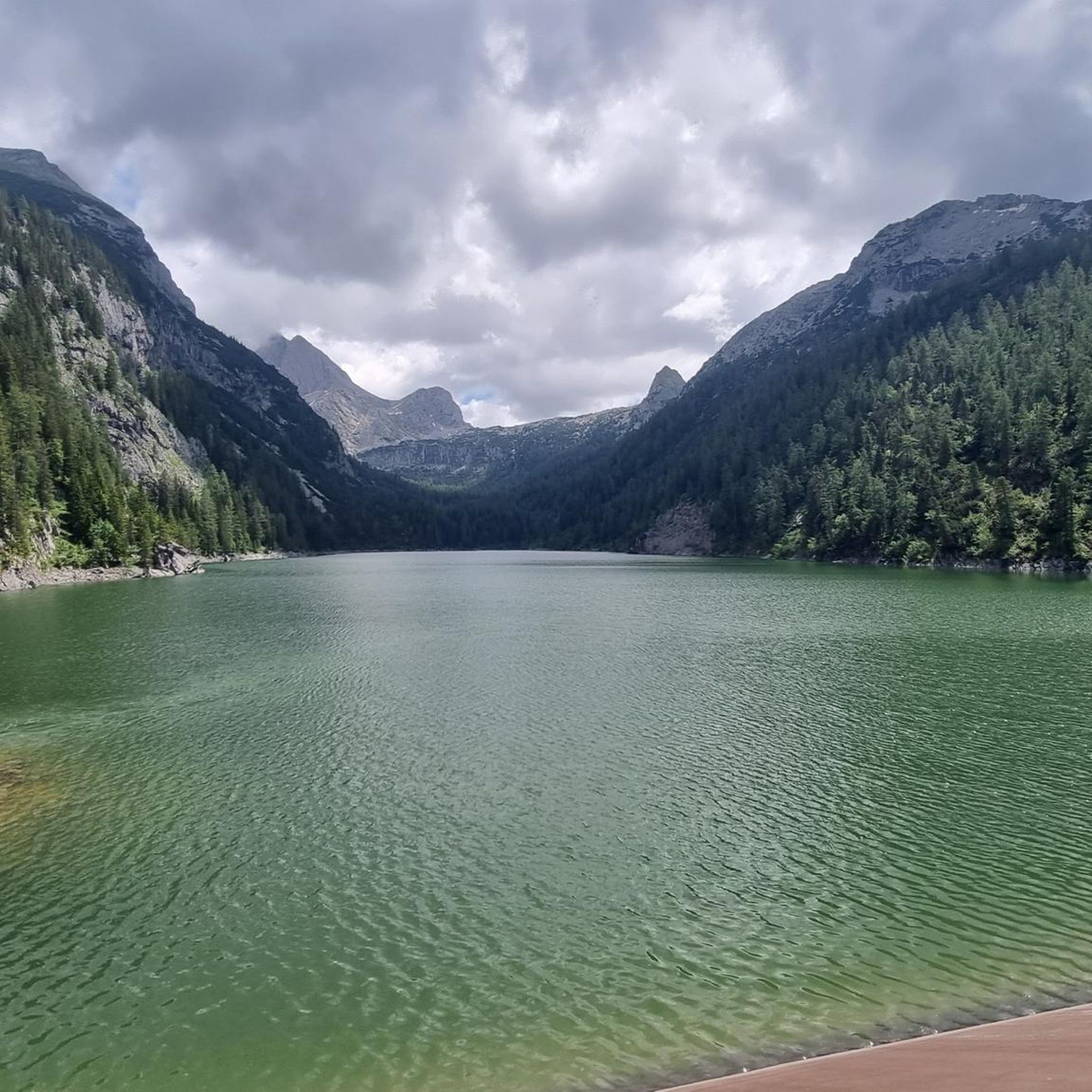
Tips from the Community

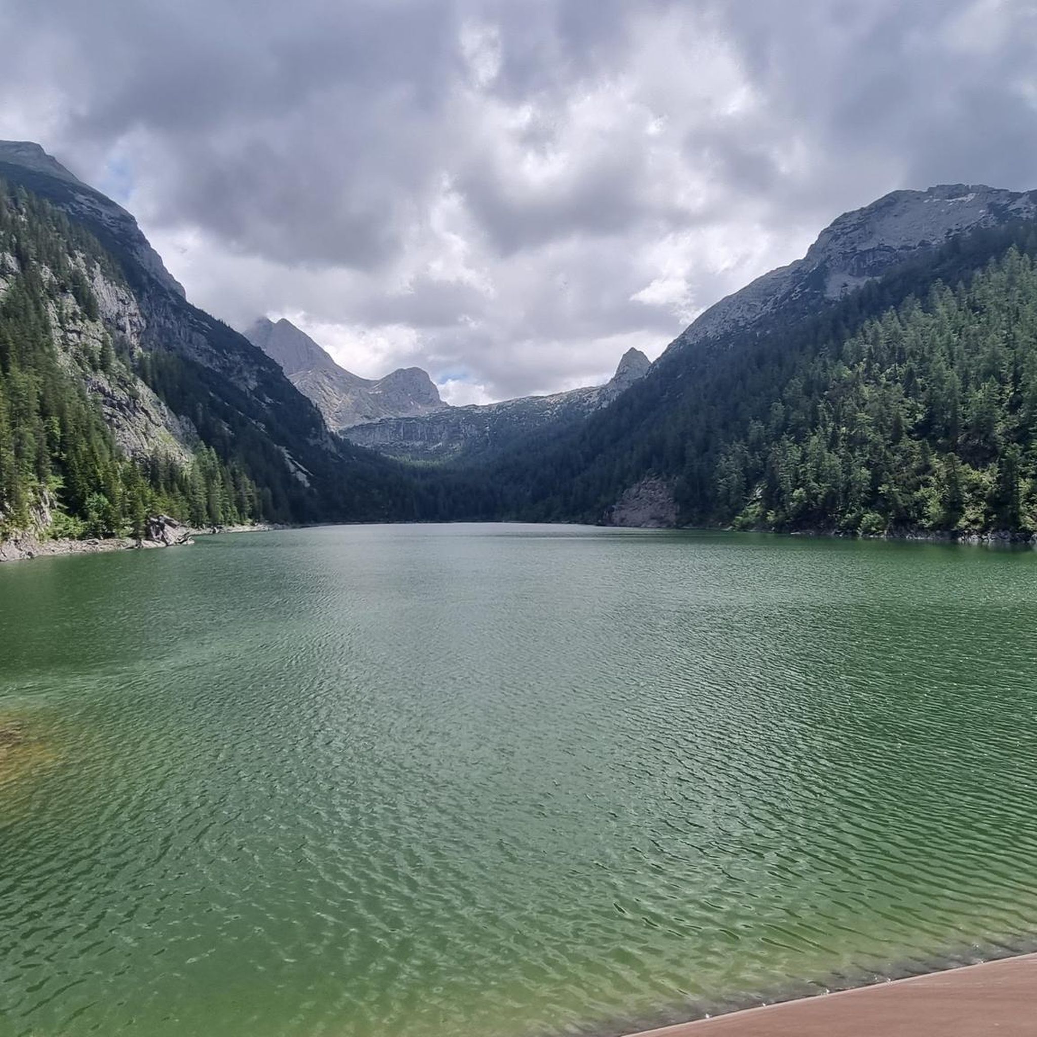
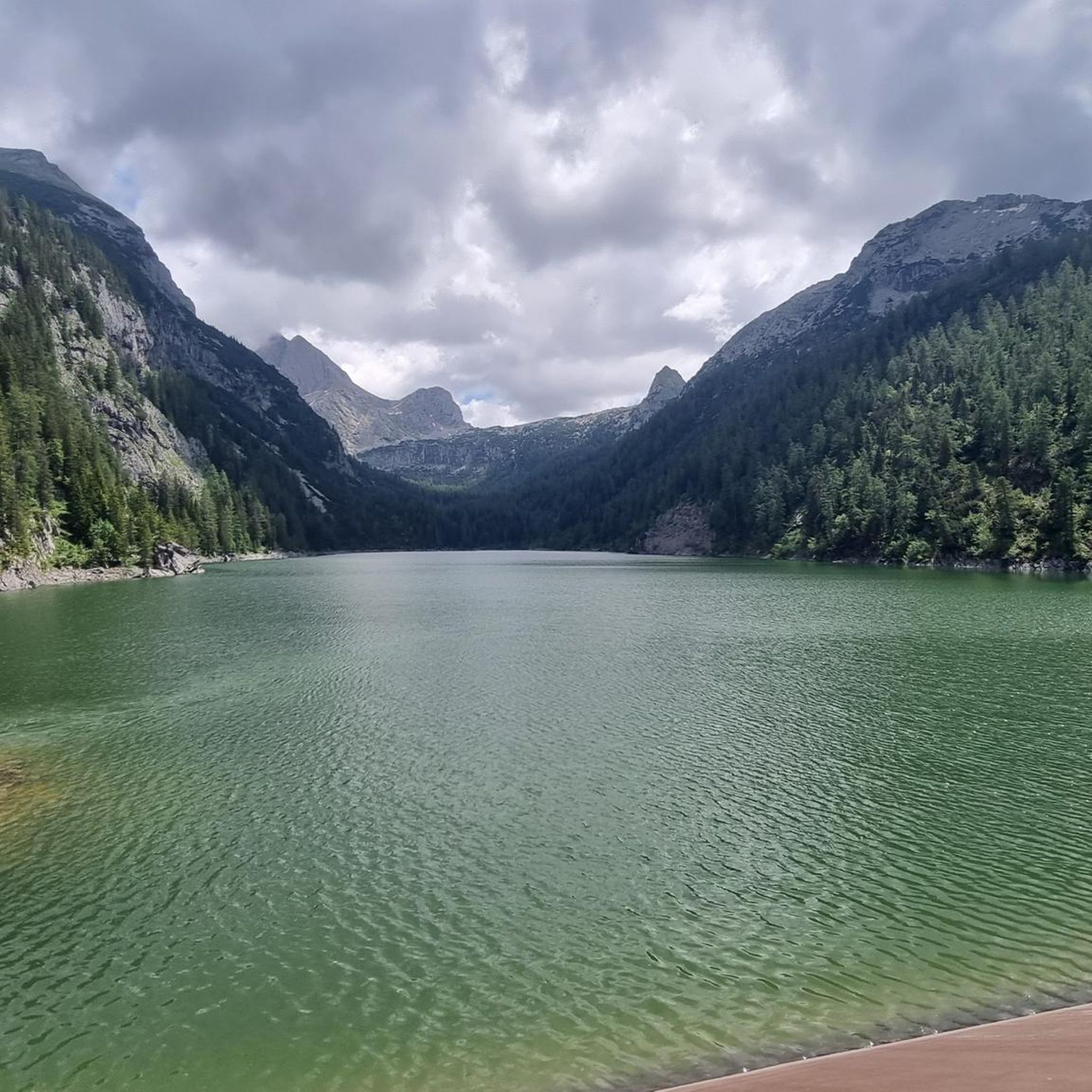
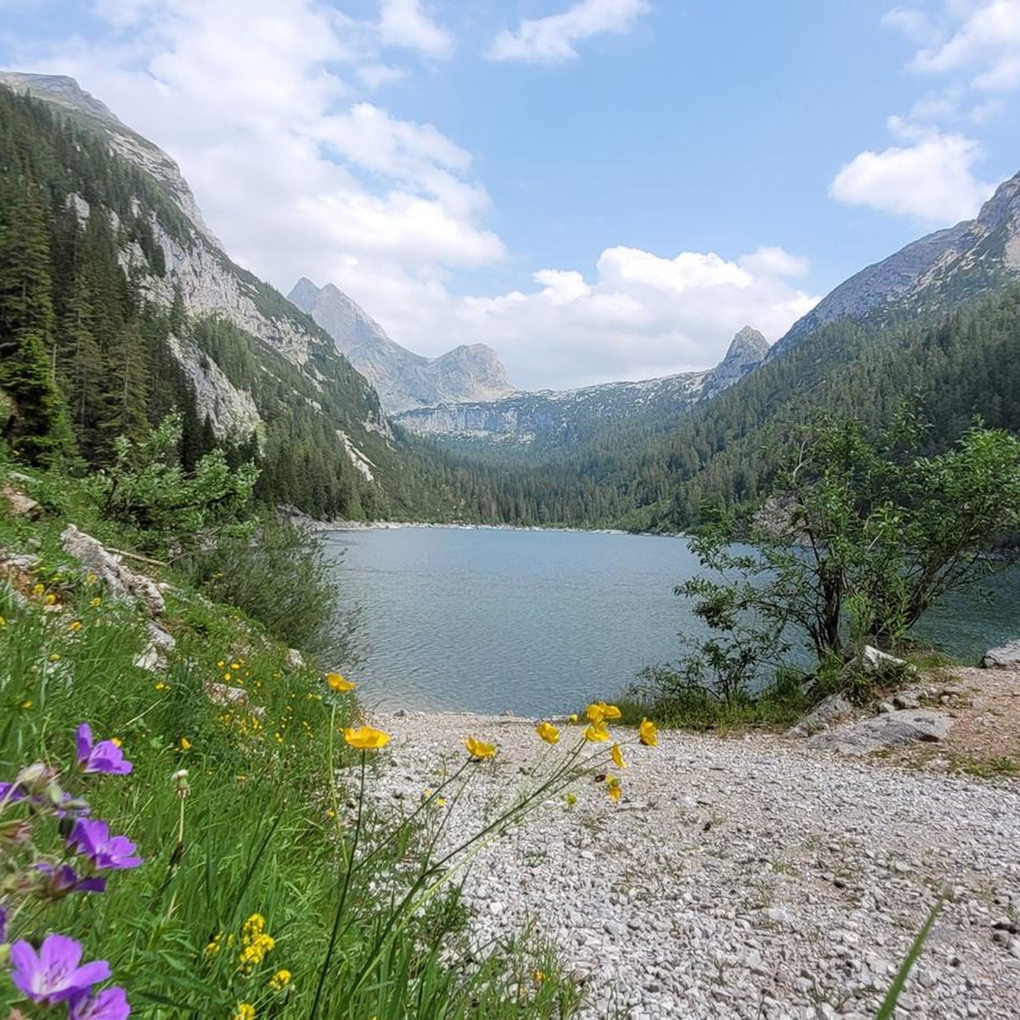
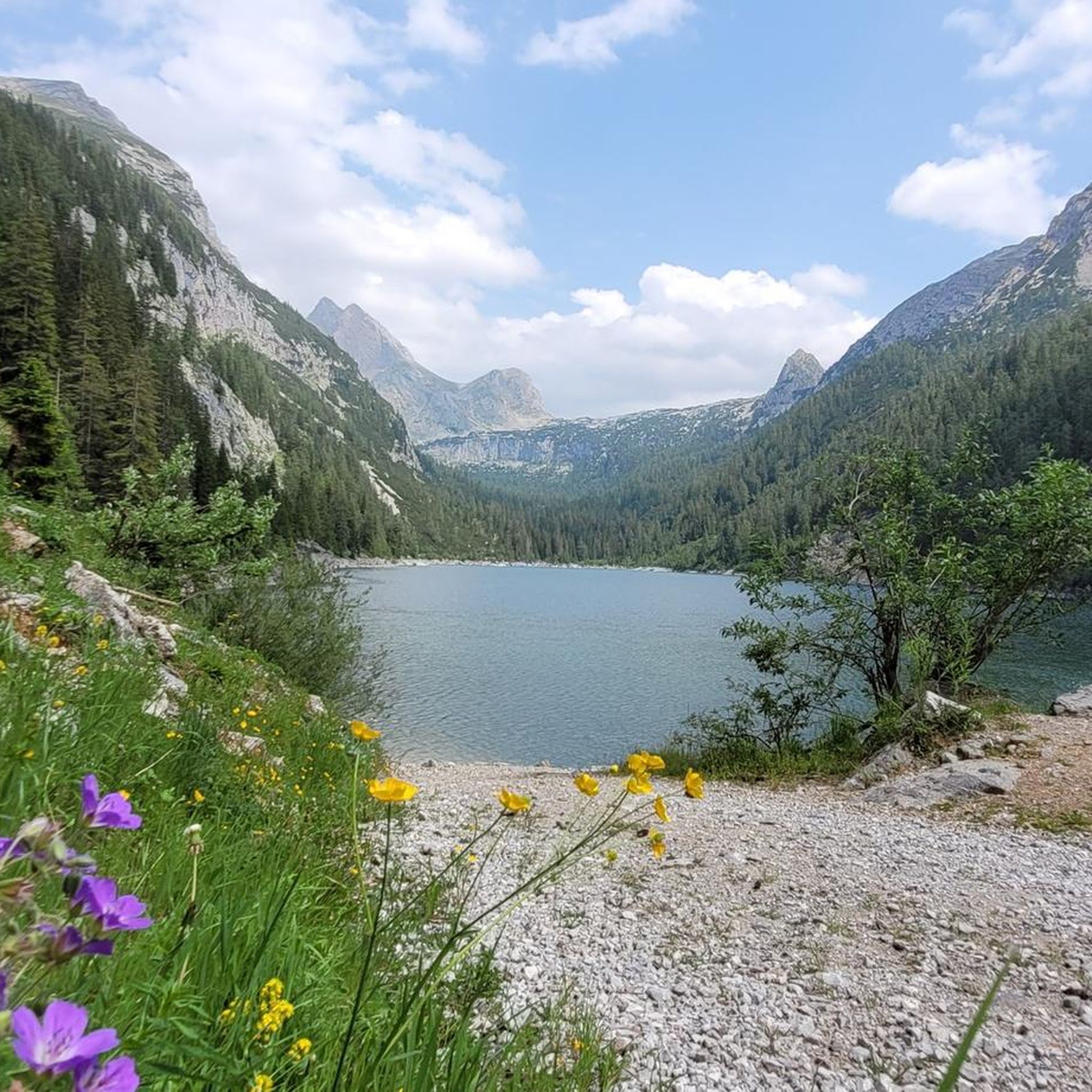
Dreamlike mountain view! A postcard panorama couldn't be more beautiful.
0
0

Great view of the Hochkönig
0
0

Beautiful route along the Saalach from Germany to Austria.
0
0

Since this section mostly runs directly along the Saalach River, there's no chance of getting bored. It's very interesting and varied.
3
0
The Saalach is quite wild here, which is why rafting tours are also offered here.
2
0
It's mostly hard gravel, but it's still easy to drive. Cars, yes, but rarely. The state border should be approached with some caution.
2
0

Wonderful view and a great path
0
0

Simply a brilliant area.
0
0
Frequently Asked Questions
How many gravel bike trails are available around Dießbachstausee?
There are several gravel bike trails to explore around Dießbachstausee, with komoot listing 5 distinct routes. These range from moderate to difficult in terms of challenge.
Are there any easy or family-friendly gravel bike trails around Dießbachstausee?
The gravel bike routes listed for Dießbachstausee are generally moderate to difficult, featuring significant elevation gains. For a less challenging option, the View of Maria Alm – Maria Alm loop from Saalfelden am Steinernen Meer is rated moderate, covering 12.7 miles (20.5 km) with 239m of ascent. It's advisable to check the route details to ensure it suits your family's experience level.
What is the best season for gravel biking around Dießbachstausee?
Given the alpine terrain around Dießbachstausee, the best season for gravel biking is typically from late spring through early autumn (May to October). During these months, you'll find more favorable weather conditions, less snow at higher elevations, and generally open trails. Always check local weather forecasts before heading out, especially in shoulder seasons.
Are there any loop trails for gravel biking in the Dießbachstausee region?
Yes, many of the gravel bike routes around Dießbachstausee are designed as loops. For example, the Buchweißbach River – Neuer Bach Scenic Viewpoint loop from Klettergarten "Platte Unterm Dach" offers a challenging 25-mile (40.2 km) circular ride with scenic river views.
Where can I find parking for gravel biking trails near Dießbachstausee?
Many routes start from designated parking areas. For instance, the View of the Steinernes Meer – View of the Steinernes Meer loop begins from Parkplatz Mitterbrand. It's always recommended to check the specific tour details on komoot for recommended starting points and parking information.
What kind of views can I expect along the gravel bike routes?
The routes around Dießbachstausee offer diverse alpine scenery. You can expect river valleys, dense forested sections, and expansive mountain landscapes with views of peaks like the Steinernes Meer. The View of the Steinernes Meer loop is specifically named for its panoramic vistas.
Are there any advanced gravel routes for experienced riders?
Yes, the Dießbachstausee region offers challenging routes suitable for advanced gravel bikers. The Litzlalm Hut – Litzlalm loop from Weißbach bei Lofer is a difficult 10.2-mile (16.5 km) path that climbs towards a mountain hut, providing significant elevation gain and alpine scenery.
What do other gravel bikers enjoy most about the trails in Dießbachstausee?
The komoot community highly rates the gravel biking experience around Dießbachstausee, with an average score of 4.8 stars. Riders often praise the varied alpine terrain, the scenic river views, and the challenging nature of the routes that lead through both forested areas and open mountain sections.
Can I bring my dog on the gravel bike trails around Dießbachstausee?
While many outdoor trails in the region are dog-friendly, it's essential to check specific route regulations, especially within protected areas or on private land. Always keep your dog on a leash, carry waste bags, and ensure they are fit enough for the distance and elevation gain of your chosen route. The Maria Alm – View of Steinerne Meer loop is a longer, moderate option that might be suitable for well-trained dogs.
Are there any routes with opportunities for cafe stops or refreshments?
Some routes in the region pass by mountain huts or villages where you might find opportunities for refreshments. For instance, the Litzlalm Hut – Litzlalm loop specifically climbs towards a mountain hut, which often provides food and drinks. It's always a good idea to check opening times in advance, especially outside peak season.
How long does it take to complete a gravel bike tour around Dießbachstausee?
Tour durations vary significantly based on the route's length and difficulty, as well as your personal pace. For example, the difficult Buchweißbach River – Neuer Bach Scenic Viewpoint loop is estimated to take around 3 hours and 15 minutes, while the moderate View of Maria Alm – Maria Alm loop can be completed in about 1 hour and 17 minutes.
Most popular routes around Dießbachstausee

Get inspired with the komoot mobile app


Explore more
Browse the best Gravel rides in other regions.
