The best gravel rides around Stor-Leirsjøen
5.0
(3)
42
riders
12
rides
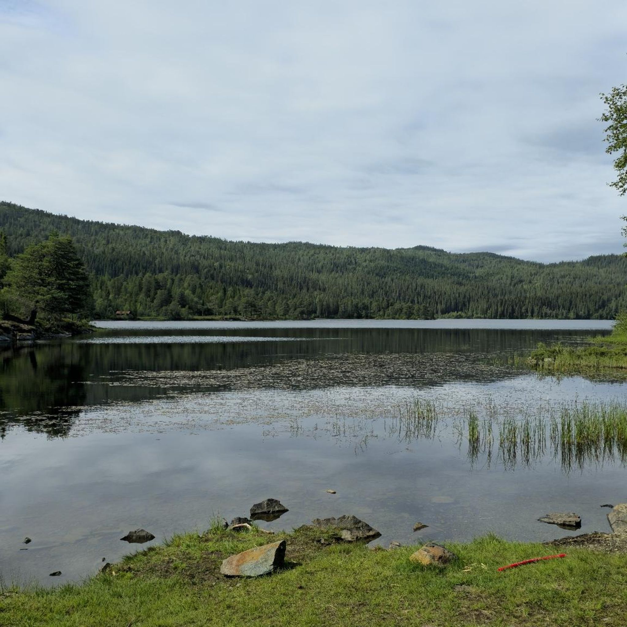
Gravel biking around Stor-Leirsjøen offers a diverse landscape characterized by dense woodlands, numerous lakes, and varied elevation changes. The region features a network of trails that traverse natural reserves and parks, providing a mix of terrain from forest paths to more open sections. Riders can expect undulating routes with significant climbs and descents, often leading to scenic viewpoints over the water bodies and surrounding nature. The area's geography supports both moderate and more challenging gravel bike trails.
Best gravel bike…
Last updated: July 2, 2026
4
riders
18.8km
01:13
280m
270m
Moderate gravel ride. Good fitness required. Mostly paved surfaces. Suitable for all skill levels.
6
riders
27.1km
01:52
450m
450m
Hard gravel ride. Very good fitness required. Mostly paved surfaces. Suitable for all skill levels.

Sign up for free
5.0
(2)
3
riders
35.1km
03:15
770m
770m
Hard gravel ride. Very good fitness required. Mostly paved surfaces. Suitable for all skill levels.
5.0
(1)
10
riders
21.5km
01:28
440m
440m
Moderate gravel ride. Good fitness required. Mostly paved surfaces. Suitable for all skill levels.
6
riders
21.3km
01:30
410m
410m
Moderate gravel ride. Good fitness required. Mostly paved surfaces. Suitable for all skill levels.
Get access to more routes and recommendations from other explorers.
Sign up for free
Already have an account?
Our route recommendations are based on thousands of hikes, rides, and runs completed by other people on komoot.
Start today with a free account
Your next adventure awaits.
Login or Signup
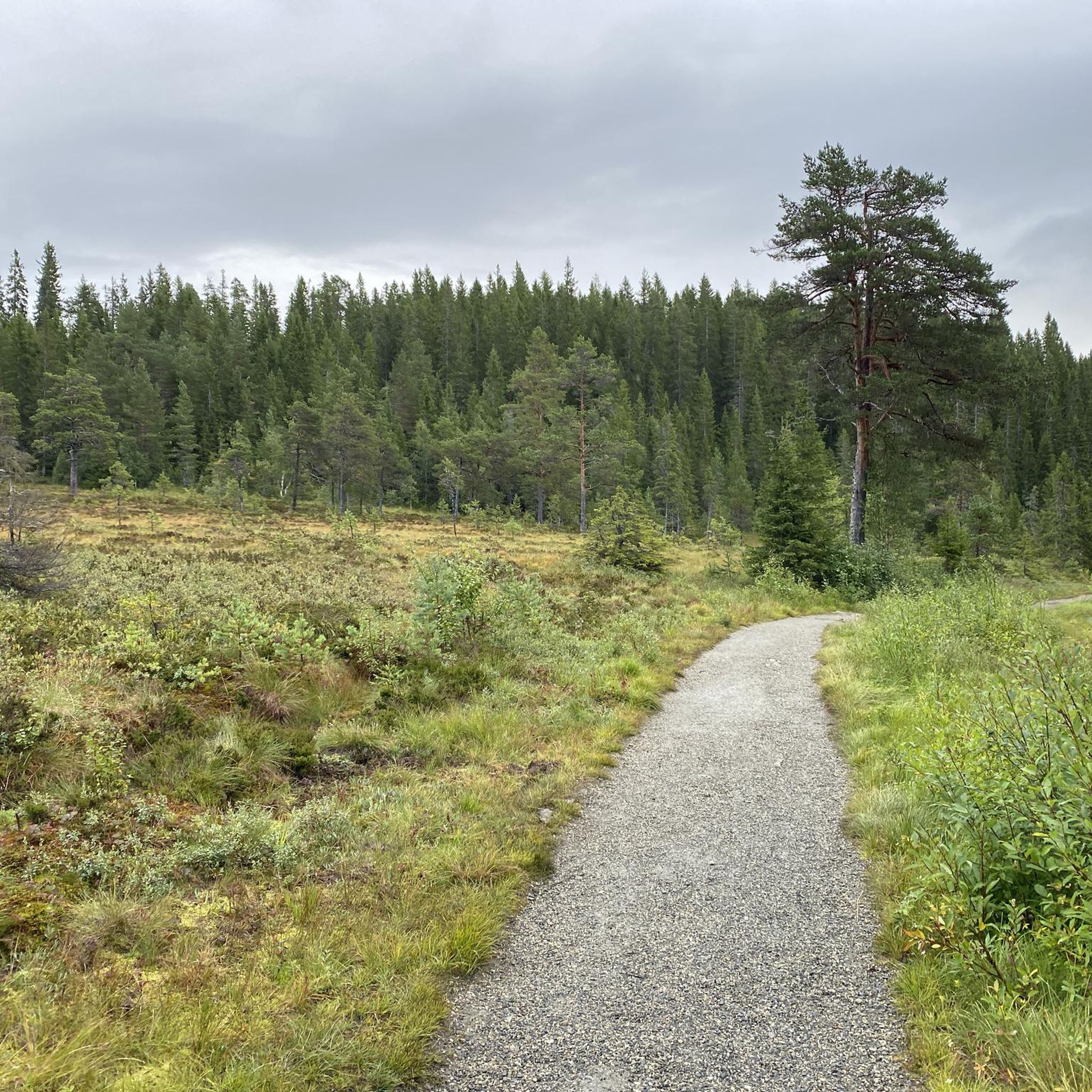
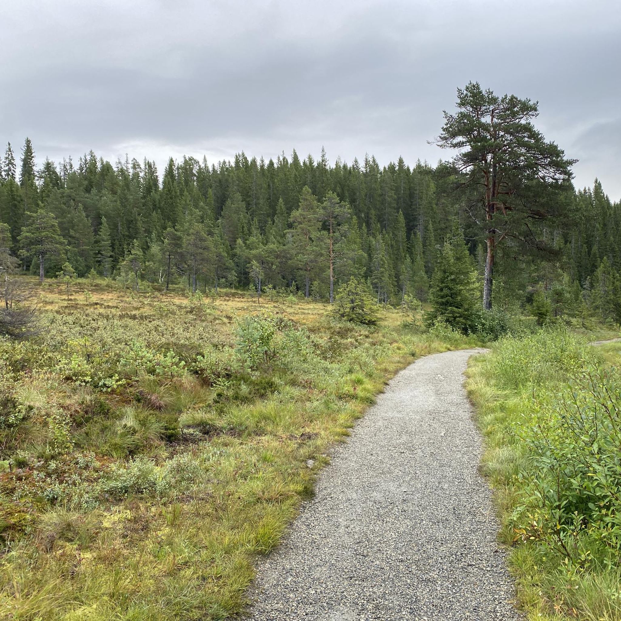
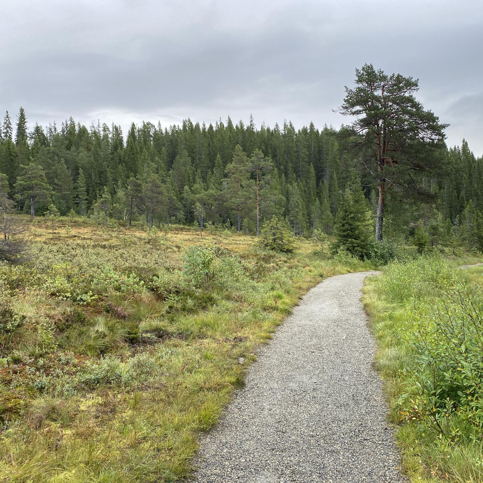
Tips from the Community

Follow us on Facebook for daily updates❣️https://www.facebook.com/share/1BtfU2Xg4V/?mibextid=wwXIfr
0
0

beautiful lake to relax
0
0

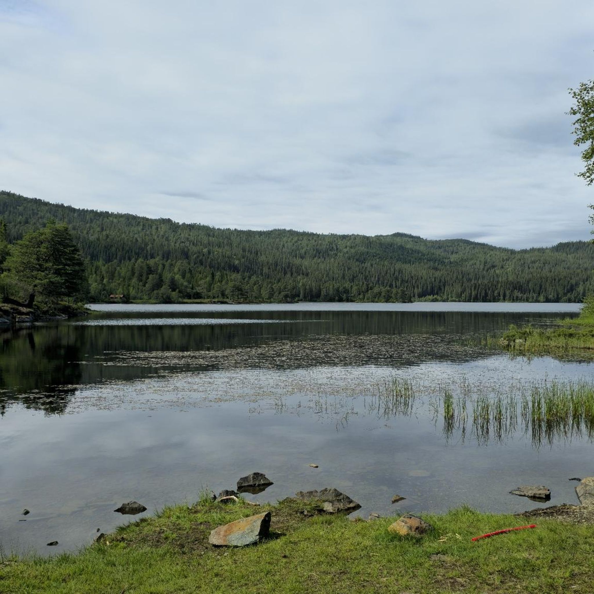
Definitely take a break to enjoy these views of lake Kyvatnet!
1
0

From this cycle path you get a great view of the Kyvatnet Lake.
1
0
Skjellbreia, (from the Old Norse "Skjaldbreið") means "broad as a shield." It is the largest lake in Bymarka, a popular recreation area in Trondheim, Norway. The lake is located in the upper part of the Leirsjø watershed.
1
0

A hike around beautiful Lianvatnet takes around 40 minutes and is easily accessed from Trondheim. The Lian station, the terminus of the Gråkallbanen Line, is a great place to start your hike. Neighbouring Haukvatnet is another good option for a scenic lake hike.
0
0
Established in the 1930s, Lian Restaurant enjoys beautiful views across the Bymarka region. It's not far from Gråkallbanen, the northernmost tram line in the world. From here, a walk through Bymarka's woodland to the Grønlia hut is excellent.
0
0
The trail to Grønlia features lovely views down onto Skjellbreia lake. This is a beautiful part of Bymarka's woodland grandeur.
0
0
Frequently Asked Questions
What are the difficulty levels of gravel bike trails in Stor-Leirsjøen?
The Stor-Leirsjøen region offers a diverse range of gravel bike trails. You'll find 6 moderate routes and 8 difficult routes, catering to various skill levels. While there are no easy routes specifically, the moderate trails provide a good starting point for those with some experience.
Are there challenging gravel bike trails for experienced riders in Stor-Leirsjøen?
Yes, experienced gravel bikers will find plenty of challenging options. There are 8 difficult routes available, often featuring significant climbs and descents. For example, the Trail North of Kobberdammen – Trondheim Marina loop from Byåsen is a difficult 15.4-mile trail with over 1,647 feet of elevation gain.
What is the typical length of gravel bike trails in Stor-Leirsjøen?
The gravel bike trails in Stor-Leirsjøen vary in length, generally ranging from moderate to longer distances. For instance, the Padel Courts – Nilsbyen Mountain Bike Park loop from Byåsen is 10.9 miles, while the Nedre Leirfoss Park – Nidaros Cathedral loop from Selsbakk extends to 36.3 miles.
Are there circular gravel bike routes around Stor-Leirsjøen?
Yes, many of the gravel bike routes in Stor-Leirsjøen are designed as loops, allowing you to start and finish at the same point. Examples include the Dam with Waterfall – Grønlia Cabin loop from Selsbakk and the Blomstertjønna Pond – Bymarka Nature Reserve loop from Selsbakk.
What kind of terrain can I expect on gravel bike trails in Stor-Leirsjøen?
You can expect a varied terrain characterized by dense woodlands, forest paths, and routes alongside numerous lakes. The region features undulating routes with significant climbs and descents, offering a mix of natural surfaces typical for gravel biking.
What do other gravel bikers enjoy most about gravel biking in Stor-Leirsjøen?
The area is highly rated by the komoot community, with an average score of 5.0 stars from over 4 reviews. Reviewers often praise the diverse landscape, the challenging climbs, and the scenic viewpoints over the water bodies and surrounding nature.
Are there any routes that feature waterfalls or water features?
Yes, some routes incorporate beautiful water features. The Dam with Waterfall – Grønlia Cabin loop from Selsbakk is a notable example, leading through forested areas and past a dam with a waterfall.
What is the best time of year to go gravel biking in Stor-Leirsjøen?
The best time for gravel biking in Stor-Leirsjøen is typically from late spring through early autumn (May to September). During these months, the weather is generally milder, and the trails are free of snow and ice, offering optimal riding conditions. Always check local weather forecasts before heading out.
Can I access the gravel bike trails around Stor-Leirsjøen using public transport?
Many starting points for routes around Stor-Leirsjøen, particularly those originating from areas like Byåsen or Selsbakk, are accessible via local bus services from Trondheim. It's advisable to check the AtB (Trondheim's public transport provider) website for specific bus routes and schedules that accommodate bikes.
Where can I find parking for gravel biking near Stor-Leirsjøen?
Designated parking areas are available at common trailheads and recreational spots around Stor-Leirsjøen, especially near popular access points in Byåsen and Selsbakk. Look for parking facilities close to areas like Nilsbyen Mountain Bike Park or other entry points to Bymarka Nature Reserve.
Are there any gravel bike routes that pass through nature reserves or parks?
Yes, several routes traverse natural reserves and parks. For example, the Blomstertjønna Pond – Bymarka Nature Reserve loop from Selsbakk takes you directly through the Bymarka Nature Reserve, offering beautiful natural scenery.
How many gravel bike trails are available in the Stor-Leirsjøen region?
There are 14 gravel bike trails available in the Stor-Leirsjøen region, offering a variety of experiences for different skill levels and preferences.
Most popular routes around Stor-Leirsjøen

Get inspired with the komoot mobile app


Explore more
Browse the best Gravel rides in other regions.
