The best gravel rides around Western Scheldt
4.6
(27)
399
riders
8
rides
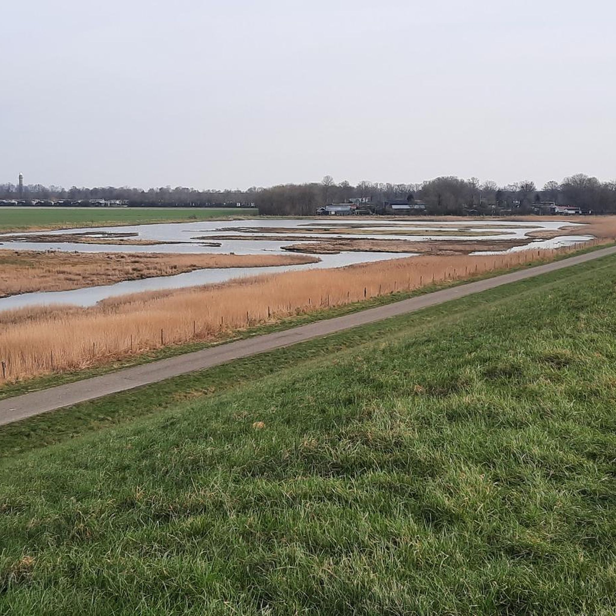
Gravel biking around Western Scheldt offers routes through a predominantly flat landscape characterized by coastal areas, dikes, and polders. The region features a network of unpaved paths alongside waterways and through agricultural lands, providing varied terrain for gravel cyclists. Elevations are generally low, with routes often traversing open fields and offering views of the sea and inland lakes. This estuarial landscape provides diverse surfaces including country roads, cobbled lanes, and gravel paths.
Best gravel bike trails around Western Scheldt
- The…
Last updated: July 2, 2026
4.0
(1)
25
riders
71.7km
04:37
50m
50m
This difficult 44.6-mile gravel biking loop from Vlissingen explores Zeeland's diverse coastal and polder landscapes.
5.0
(1)
7
riders
Moderate gravel ride. Good fitness required. Mostly paved surfaces. Suitable for all skill levels.

Sign up for free
4.3
(15)
132
riders
52.1km
03:10
60m
60m
Moderate gravel ride. Good fitness required. Mostly paved surfaces. Suitable for all skill levels.
4.0
(6)
38
riders
Easy gravel ride. Great for any fitness level. Mostly paved surfaces. Suitable for all skill levels.
5.0
(2)
14
riders
48.5km
02:40
60m
60m
Moderate gravel ride. Good fitness required. Mostly paved surfaces. Suitable for all skill levels.
Get access to more routes and recommendations from other explorers.
Sign up for free
Already have an account?
Our route recommendations are based on thousands of hikes, rides, and runs completed by other people on komoot.
Start today with a free account
Your next adventure awaits.
Login or Signup
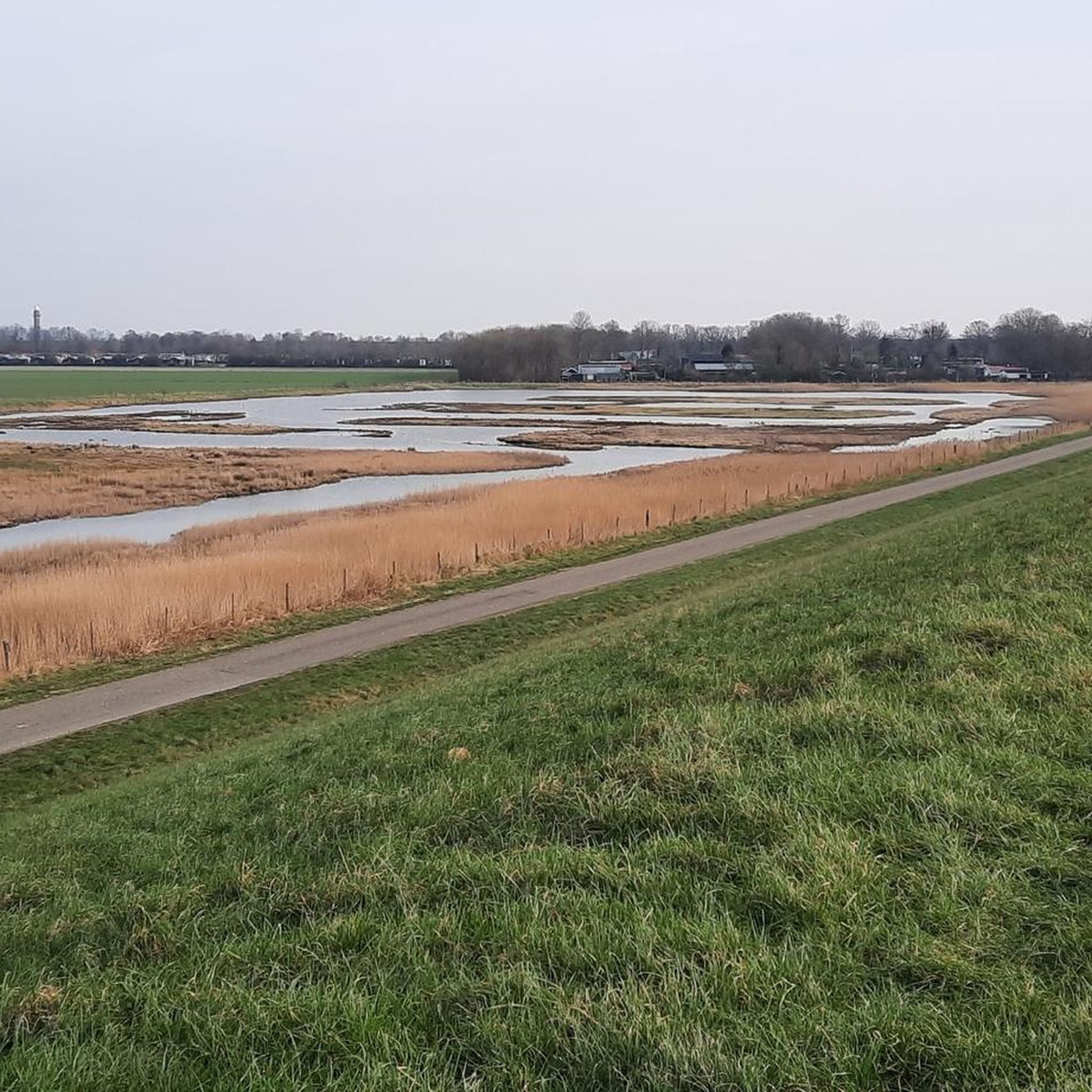
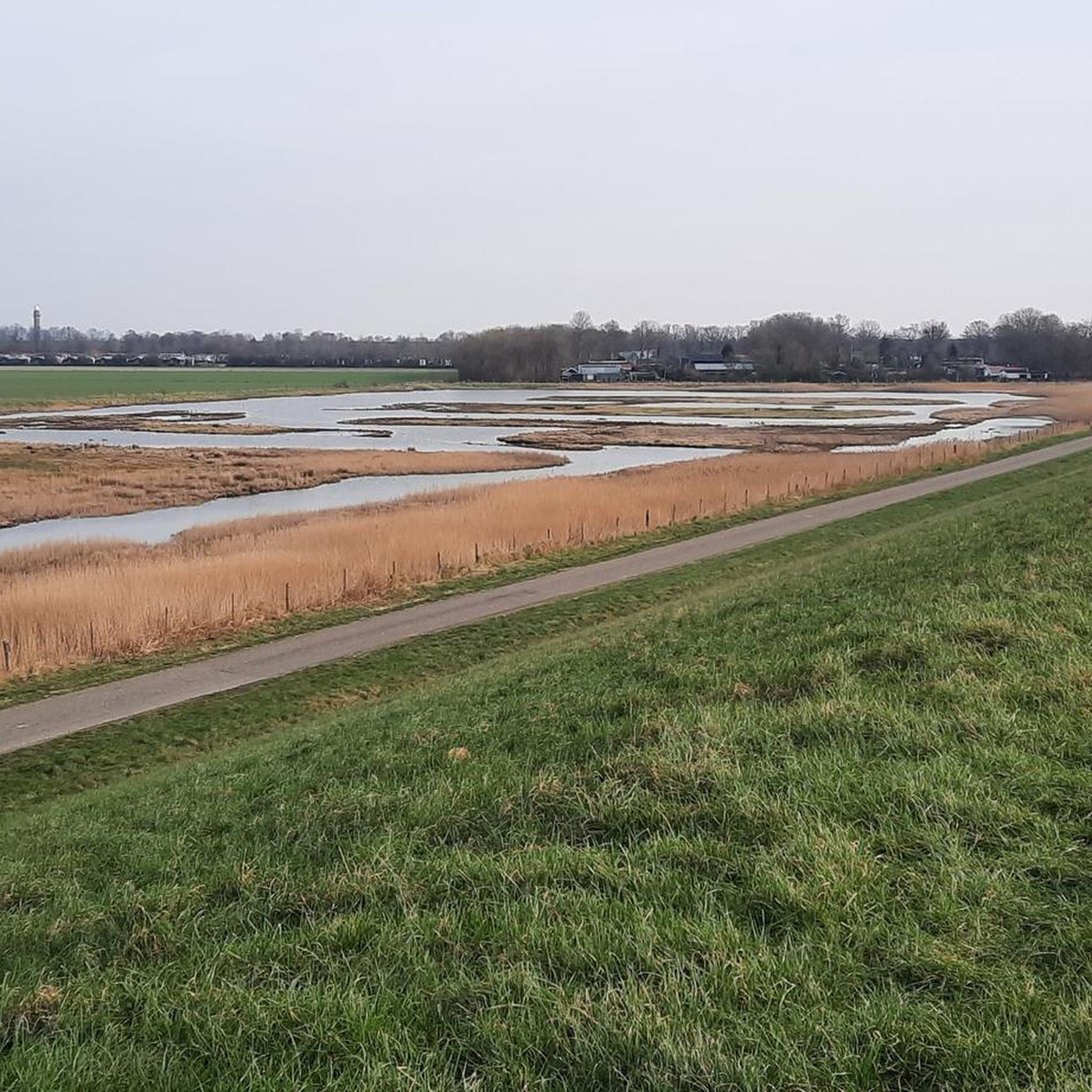
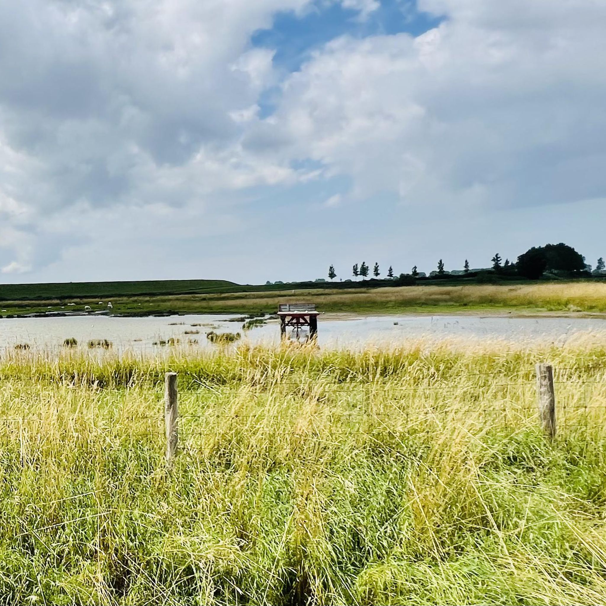
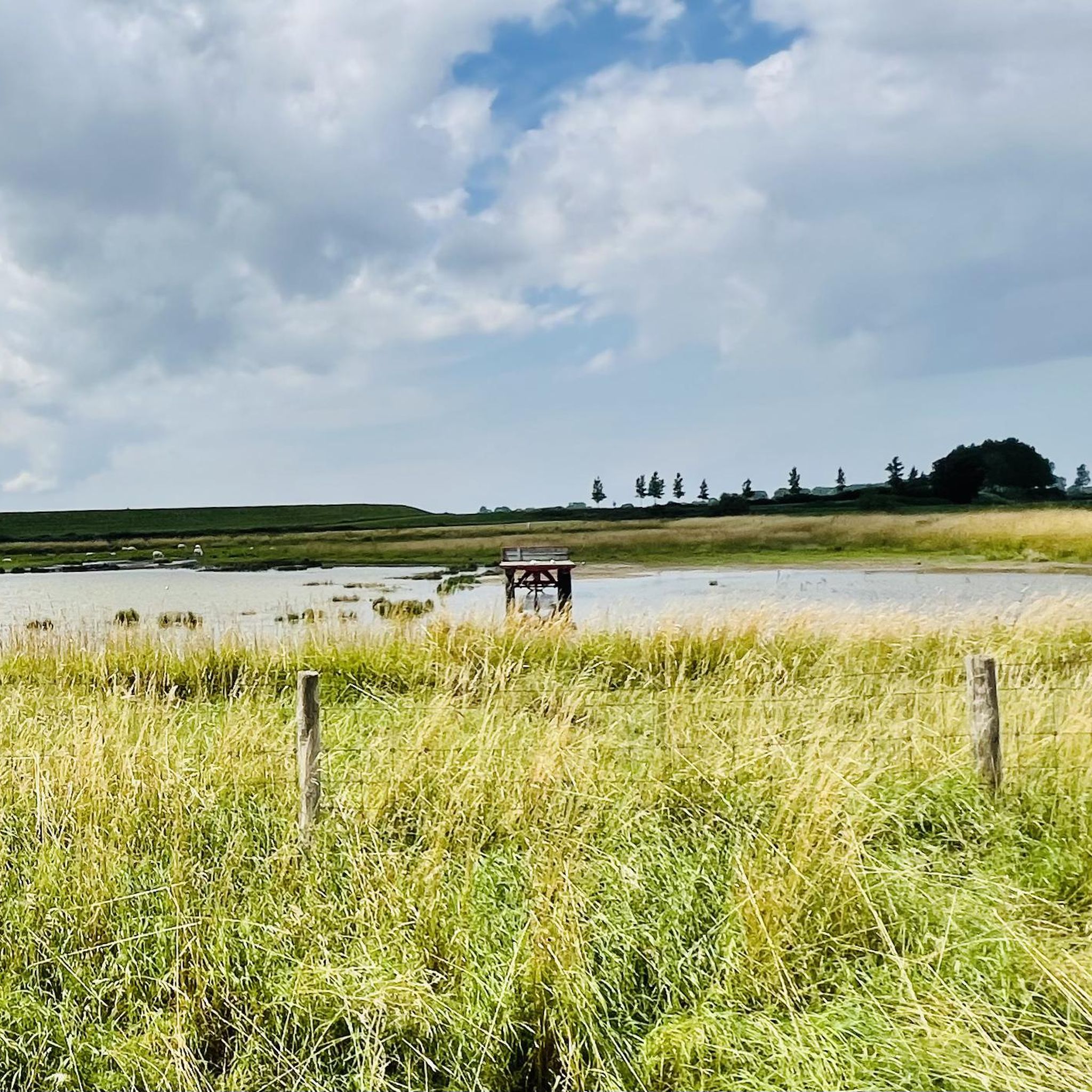
Tips from the Community

Dike cycle path towards Breskens
0
0

One of the oldest gallery mills in Middelburg is the mill De Hoop, built in 1735. It has the address Vlissings Bolwerk 2 and is located in the southwest of the city center on a bastion of the ramparts in the direction of Vlissingen. The very dominant-looking mill is easily visible from the connecting road between Middelburg and Vlissingen. The mill has 7 floors inside and has wings with a diameter of 24.8m, and the surrounding gallery is at a height of 13.7 meters. The mill cannot be visited. Source: https://www.entdecke-walcheren.de/walcheren/middelburg/muehle/de_hoop
2
0

This open water (creek) is a remnant of a military inundation in the fight against the French in the War of the Spanish Succession - period 1701–1713. By breaching this dike, the polders behind it around Koewacht were flooded. When restoring the dike, they went around the deepest part of the stream channel.
6
0
On this winding gravel path, you will discover a special piece of the past and nature at Fort Sint-Jacob. This historic fort is part of the impressive Staats-Spaanse Linies and was strategically located between Fort Sint-Joseph and Fort Sint-Livinus, as part of the Line of Communication between Hulst and Sas van Gent. Here you can still feel the traces of the Eighty Years' War, when the fort was constructed in 1634 to protect the hinterland from invasions. Only a few years later, it fell into other hands, making the story of this place all the more captivating. Fort Sint-Jacob was once a compact, square redoubt with sturdy earthen ramparts and a protective moat. Today, these contours are still clearly visible in the landscape, allowing you as a visitor to literally walk through history. Thanks to careful restorations, including a reconstructed courtyard and a new drawbridge, the fort has been brought back to life. At the same time, nature has been given free rein here. The area is managed by Staatsbosbeheer and has grown into a peaceful nature reserve. Whether you are interested in history, enjoy walking, cycling, or simply want to escape the hustle and bustle: Fort Sint-Jacob invites you to come and see, discover, and enjoy.
4
0
An ideal stopping point on your cycling or hiking experience: Step back in time and discover a hidden piece of history: Fort Sint-Jacob. This fascinating remnant from the Eighty Years' War takes you back to a period when borders were still fought over and waterways made the difference between safety and danger. Located on the Passageule, this fort once formed a crucial link between the Spanish Netherlands and the States' territories. As part of the impressive States-Spanish Lines, Fort Sint-Jacob guarded the border and held back enemy infiltrations from the north. After the Peace of Münster, the fort lost its military function and slowly faded into obscurity. Nature took over, until around 2010 it was restored with care and respect for the past. Today, you can once again experience the contours of the past, including a replica of a cannon that symbolises the struggle that was once waged here. But Fort Sint-Jacob is more than just history. It is a place where peace and nature meet. The ramparts and moats now form a unique landscape where special plants and animals feel at home, typical of the brackish Zeeland area. Whether you are walking or cycling, this is an ideal place to pause, enjoy, and let yourself be carried away by the past. Let yourself be surprised and experience Fort Sint-Jacob for yourself.
3
0
The gravel path is semi-hardened. The landscape you see here was partly shaped during the Spanish-Dutch struggle in the Eighty Years' War. Note the dikes and elevations in the landscape. These were important during the turbulent war years.
6
0
Discover Fort Sint-Joseph, a special place full of history in the Zeeuws-Vlaanderen landscape. Together with forts Sint-Jacob and Sint-Livinus, this fort is part of the historical line of communication between Sas van Gent and Hulst. These defensive structures were built in 1634 by the Spanish as simple, square forts and served as outposts along the creeks and salt marshes. On this historical line, you will encounter the remnants of the fort. Imagine soldiers once looking out over the landscape from watch houses – small observation towers that guarded the area. The forts were surrounded by a wide moat of over 10 meters and were only accessible via a bridge, making them extra defensible. 💡 Did you know… The name of a fort immediately revealed which side of the line it was on? Spanish forts, like Sint-Joseph, were named after saints. Dutch (Protestant) forts, on the other hand, had earthly, often humorous names that reflected the harsh soldier's life, such as Misère, Boerenverdriet, or Kaas en Brood. A visit to Fort Sint-Joseph is not just a walk in nature, but also a journey back in time along the borders of the Spanish-Dutch lines.
5
0

Large open-air event on King's Day
1
0
Frequently Asked Questions
How many gravel bike trails are available in Western Scheldt?
There are over 15 gravel bike routes available in the Western Scheldt region, catering to various skill levels. You'll find a mix of easy, moderate, and challenging options to explore the coastal areas, dikes, and polders.
Are there easy gravel bike routes in Western Scheldt suitable for beginners?
Yes, Western Scheldt offers several easy gravel bike routes perfect for beginners. For instance, the Cycle Path to Vlissingen – View of the Dunes and Sea loop from Vlissingen Souburg is an easy 18.1-mile (29.2 km) trail that provides scenic views without significant elevation.
What are some challenging gravel bike routes for experienced riders in Western Scheldt?
For experienced riders seeking a challenge, there are a couple of difficult routes. The Vlissingen, Middelburg, and Veerse Meer Loop is a demanding 44.6-mile (71.7 km) route that offers diverse scenery and a longer ride.
When is the best time of year to go gravel biking in Western Scheldt?
The best time for gravel biking in Western Scheldt is generally from spring through early autumn (April to October). During these months, the weather is typically milder, with less wind and rain, making for more enjoyable rides along the open coastal and polder landscapes.
What kind of terrain can I expect on gravel bike trails in Western Scheldt?
The terrain in Western Scheldt is predominantly flat, characterized by a mix of unpaved paths along waterways, through agricultural lands, and atop dikes. You'll encounter coastal sections, polders, and open fields, offering varied surfaces suitable for gravel bikes.
Are there circular gravel bike routes available in Western Scheldt?
Yes, many gravel bike routes in Western Scheldt are designed as loops. An example is the Unpaved Path Along Zwaaksedijk – Valdijk Unpaved Path loop from Kapelle-Biezelinge, which takes you through polder landscapes and along dikes in a circular fashion.
What do other gravel bikers enjoy most about gravel biking in Western Scheldt?
The komoot community highly rates the gravel biking experience in Western Scheldt, with an average score of 4.7 stars from over 20 reviews. Riders often praise the region's unique blend of coastal paths, tranquil polder landscapes, and the well-maintained network of unpaved trails.
Are there any cafes or places to stop for refreshments along the gravel routes?
While specific cafe locations aren't detailed for every route, many trails pass through or near towns like Middelburg, Vlissingen, and Kapelle-Biezelinge. These towns offer various options for refreshments, from small cafes to restaurants, making it easy to plan a stop during your ride.
What is the typical duration for gravel bike rides in Western Scheldt?
Ride durations vary depending on the route and your pace. For example, a moderate route like the Zoutelande, Westkapelle & Lake Veere loop from Middelburg typically takes around 3 hours and 10 minutes, while longer, more difficult routes can take over 4 hours.
Can I find routes that offer views of the sea or inland lakes?
Absolutely. The Western Scheldt region is known for its coastal character. Routes like the Vlissingen, Middelburg, and Veerse Meer Loop offer diverse scenery including coastal sections and views of Lake Veere, providing beautiful waterside perspectives.
Are there any gravel routes that explore the historic towns of the region?
Yes, some routes connect key towns, allowing you to experience both the natural landscapes and the charm of the local communities. The Hulst Market Square – The Koningsdijk loop from Terhole, for instance, offers a journey through the polder landscape with proximity to historic areas.
What should I consider regarding weather conditions when planning a gravel ride?
Given the open, coastal nature of Western Scheldt, wind can be a significant factor. It's advisable to check the wind forecast before your ride. While the region is generally flat, exposed sections along dikes can feel more challenging with strong headwinds. Rain can also make unpaved paths muddy, so appropriate gear is recommended.
Most popular routes around Western Scheldt

Get inspired with the komoot mobile app


Explore more
Browse the best Gravel rides in other regions.
