The best gravel rides around Melchsee
4.4
(12)
58
riders
4
rides
Gravel biking around Melchsee offers an experience on a high-alpine plateau in central Switzerland, situated at approximately 2,000 meters (6,562 feet) above sea level. The terrain features expansive views, picturesque mountain lakes like Melchsee and Tannensee, and flat moorland nature reserves. The region is encircled by striking peaks, providing a dramatic alpine backdrop for rides.
Best gravel bike trails around Melchsee
- The most popular gravel bike trail is Lungerersee – Hasliberg Swimming Lake loop from Meiringen, a 19.6 miles…
Last updated: July 2, 2026
4.5
(2)
9
riders
31.5km
02:24
810m
810m
Hard gravel ride. Very good fitness required. Mostly paved surfaces. Suitable for all skill levels.
5.0
(4)
22
riders
41.4km
03:45
1,660m
1,660m
Hard gravel ride. Very good fitness required. Mostly paved surfaces. Suitable for all skill levels.

Sign up for free
2
riders
9.58km
00:56
420m
420m
Moderate gravel ride. Good fitness required. Mostly paved surfaces. Suitable for all skill levels.
4.0
(1)
17
riders
30.9km
02:45
1,210m
1,210m
Hard gravel ride. Very good fitness required. Mostly paved surfaces. Suitable for all skill levels.
4.2
(5)
8
riders
17.8km
01:26
540m
540m
Hard gravel ride. Very good fitness required. Mostly paved surfaces. Suitable for all skill levels.
Our route recommendations are based on thousands of hikes, rides, and runs completed by other people on komoot.
Start today with a free account
Your next adventure awaits.
Login or Signup
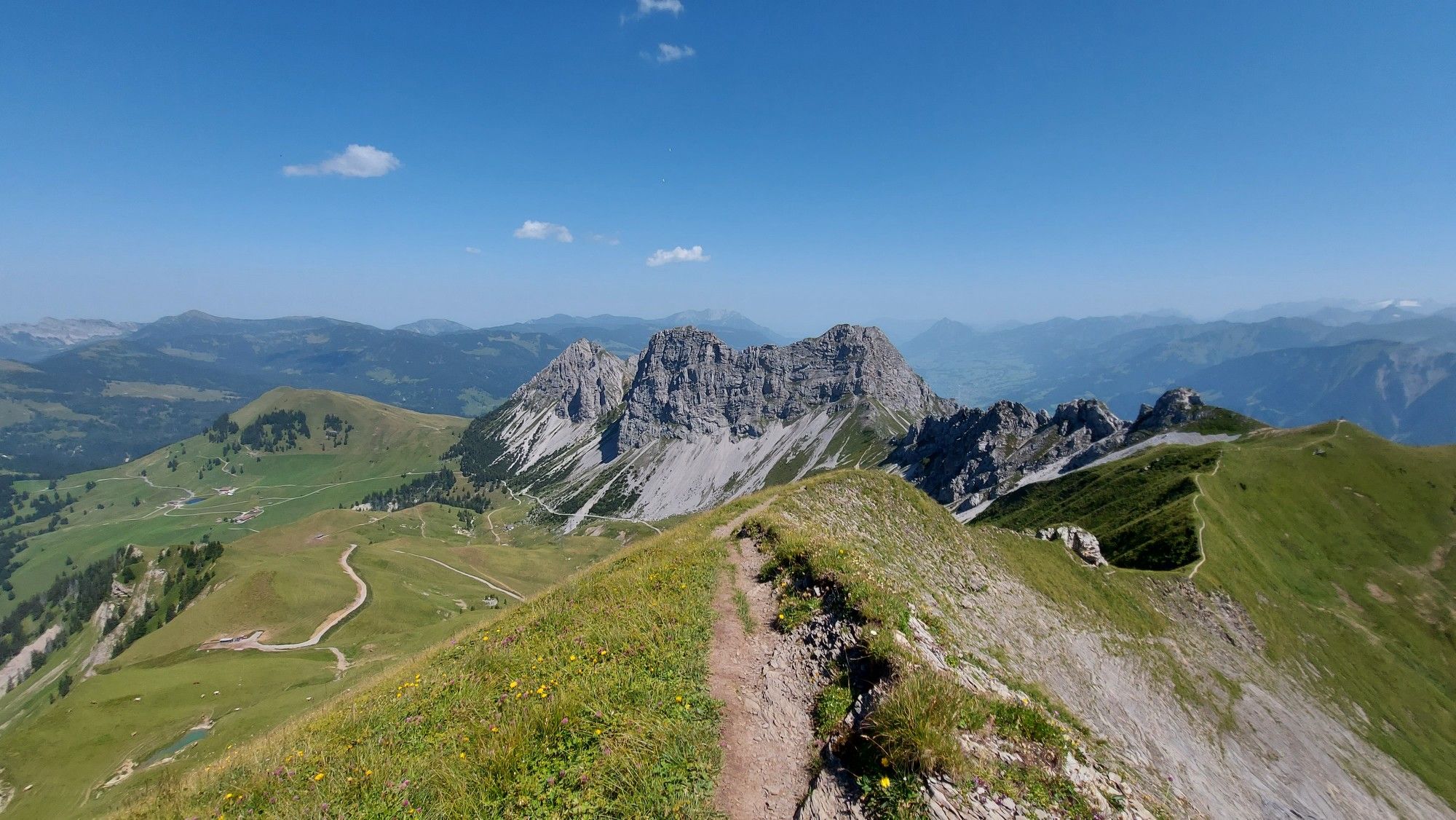
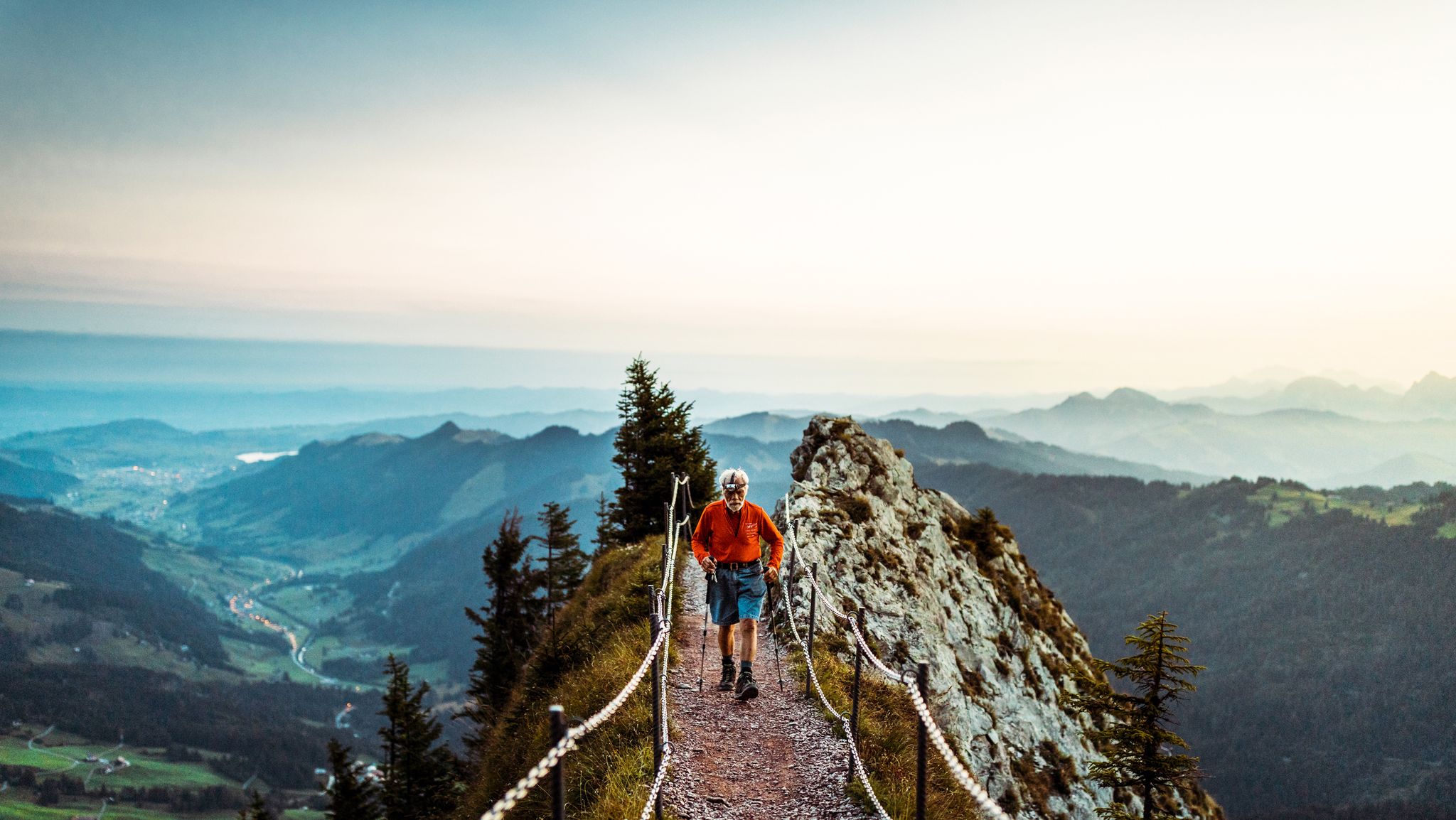
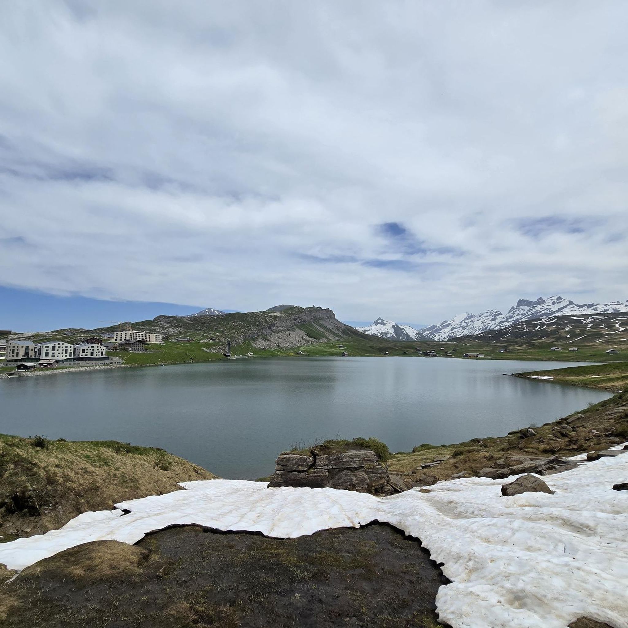
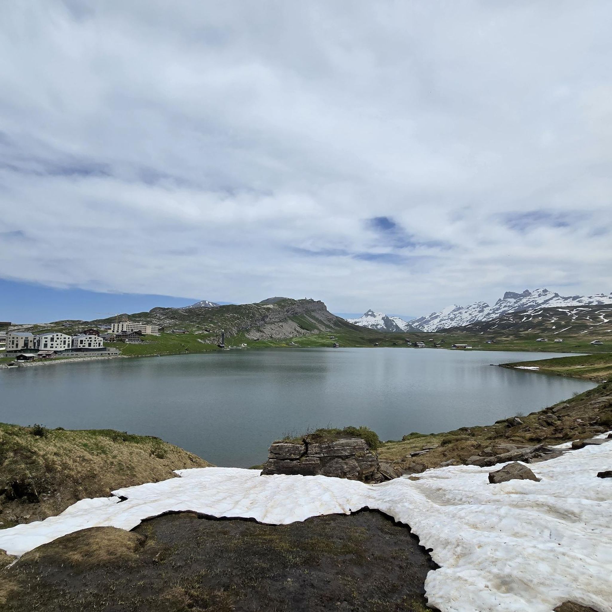
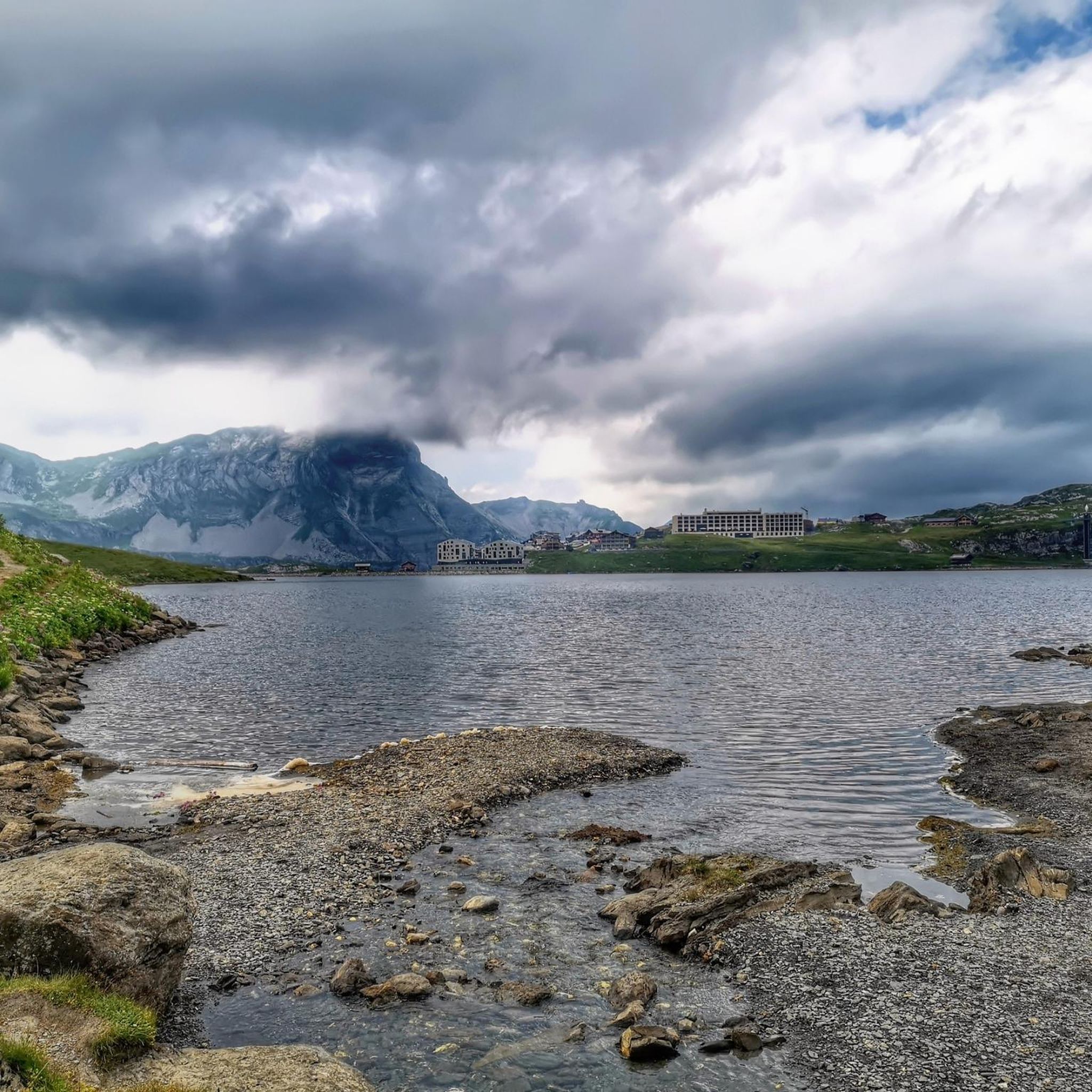

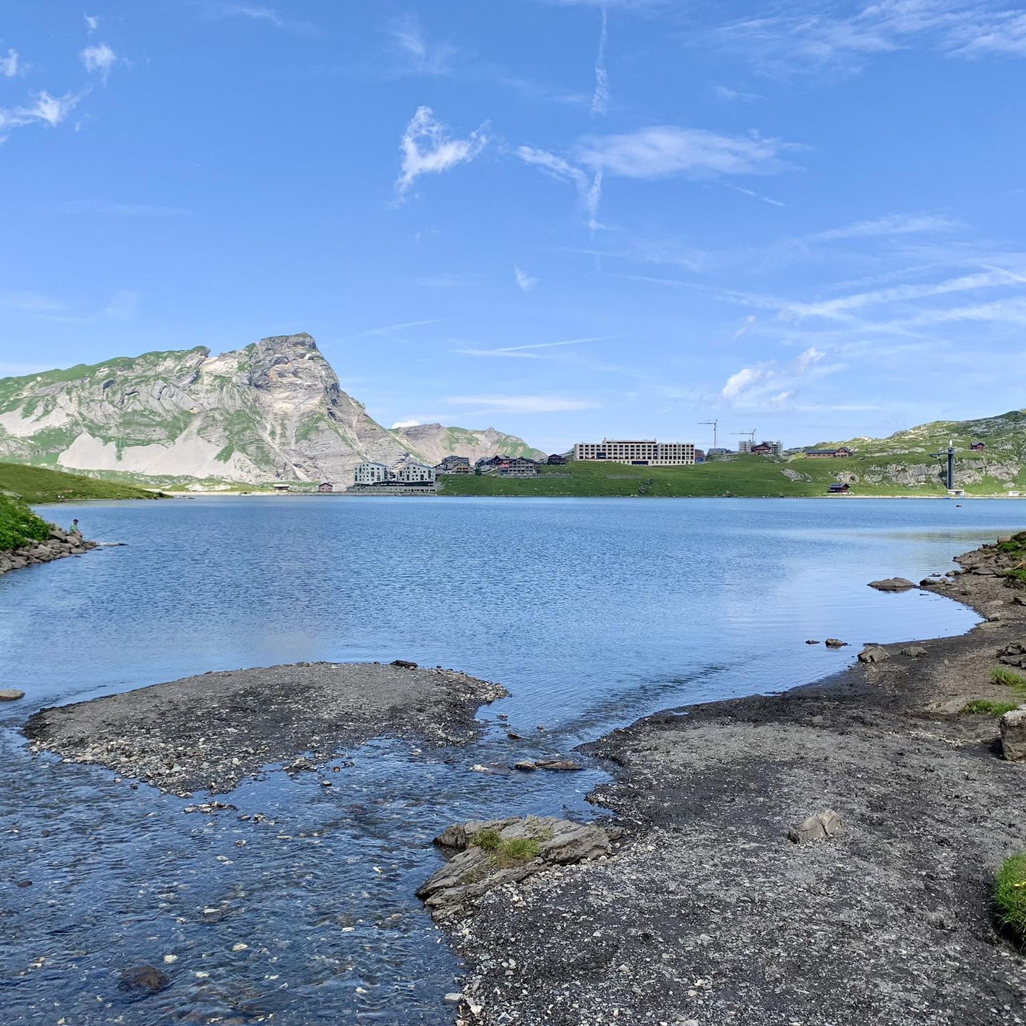


Tips from the Community


A nice place for a breakdown :-)
0
0

The lake is also suitable for ice bathing in winter. Small jetty for direct entry and exit.
0
0

Here you will find stunning views of the surrounding mountains and valleys, especially as you head to the picturesque Badesee, a popular swimming spot that offers a refreshing break. Don’t forget to take a moment to relax by the lake and enjoy the serene atmosphere, and perhaps even take a dip in the crystal clear waters to cool off after your adventure.
0
0

Small tranquil bridge that crosses the railway tracks without a St. Andrew's cross at the beginning.
1
0

Although it is only a temporary structure between Aareschlucht West and the associated railway station, it still offers great views of the Aare.
1
0


Frequently Asked Questions
What kind of terrain can I expect on gravel bike trails around Melchsee?
The gravel bike trails around Melchsee are primarily on a high-alpine plateau at approximately 2,000 meters (6,562 feet) above sea level. You'll encounter diverse terrain, including paths around picturesque mountain lakes like Melchsee and Tannensee, and through flat moorland nature reserves. The routes offer expansive views and are encircled by striking peaks, providing a dramatic alpine backdrop.
Are there options for different skill levels among the gravel bike routes?
Yes, the network of gravel bike routes around Melchsee offers options for various ability levels. While most routes are rated as difficult, there is at least one moderate route, such as the Glacier View Hotel – Hasliberg Swimming Lake loop from Meiringen, which is about 9.6 km long and takes around 1 hour 6 minutes to complete.
What are some notable natural features or landmarks to see while gravel biking in Melchsee-Frutt?
Melchsee-Frutt offers several beautiful natural features and landmarks. You can cycle past stunning mountain lakes like Melchsee-Frutt itself, Tannensee, and Blauseeli. The region also features extensive flat moorland nature reserves, particularly south of Melchsee and in the Distelboden area. For a cultural touch, you might spot the Melchsee-Frutt Chapel.
Is Melchsee-Frutt suitable for family-friendly gravel biking?
Melchsee-Frutt is generally considered family-friendly, partly due to its car-free village environment, which enhances safety and tranquility for cyclists. The presence of a small tourist train, the Frutt Train, between Melchsee-Frutt and Tannalp, can also offer a relaxed way to explore parts of the landscape, potentially allowing for varied itineraries that suit families.
What do other gravel bikers think about the routes in Melchsee?
The gravel biking routes around Melchsee are highly regarded by the komoot community, holding an average score of 4.6 stars from over 10 reviews. More than 100 gravel bikers have used komoot to explore the varied terrain, often praising the stunning high-alpine scenery and diverse landscapes.
How can I access Melchsee-Frutt, especially with a bike?
The village of Melchsee-Frutt is car-free. The main attractions are accessible via a cable car from Stöckalp, which can transport visitors and their bikes up to the plateau. This makes it convenient to reach the starting points of many trails without needing to drive directly into the car-free zone.
Are there any facilities like picnic areas or places to rest along the trails?
Yes, you can find facilities to enhance your ride. For instance, there's a dedicated Barbecue and Picnic Area at Melchsee, perfect for a break. Additionally, the region has mountain hotels, cozy cabins, and restaurants, such as the Frutt Lodge & Spa Hotel, where you can refuel and rest.
What is the longest gravel bike route available in the Melchsee area?
One of the longer and more challenging gravel bike routes is the Alpbach Gorge Viewing Platform – Engstlenalp loop from Aareschlucht West. This difficult path spans 41.4 km (25.7 miles) and typically takes around 3 hours and 44 minutes to complete, offering panoramic vistas and significant climbs.
Are there any circular gravel bike routes around Melchsee?
Yes, many of the gravel bike routes in the Melchsee area are designed as loops. For example, the popular Lungerersee – Hasliberg Swimming Lake loop from Meiringen is a 31.5 km (19.6 miles) circular trail that takes about 3 hours and 1 minute to complete, featuring high-alpine scenery.
What is the best time of year for gravel biking in Melchsee-Frutt?
Given its high-alpine location at approximately 2,000 meters above sea level, the best time for gravel biking in Melchsee-Frutt is typically during the warmer months, from late spring through early autumn. This period ensures clearer paths, more favorable weather conditions, and full accessibility to the car-free plateau and its amenities.
Can I find challenging gravel bike routes with significant elevation gain?
Absolutely. The Melchsee region is known for its challenging terrain. Routes like the View of Haslital – Meiringen loop from Meiringen, a difficult 30.8 km (19.1 miles) path, feature substantial elevation gain and offer rewarding experiences for experienced gravel bikers looking for a workout amidst alpine landscapes.
Are there any specific regulations or permits needed for biking in the Melchsee-Frutt area?
While the region is very bike-friendly, especially with its car-free zones, it's always advisable to be aware of local regulations, particularly concerning nature reserves like the moorland areas. Generally, no specific bike permits are mentioned for general trail use, but respecting signage and trail designations (e.g., hiking-only paths) is crucial. For detailed information, you might consult the local tourism office, such as Obwalden Tourismus.
Most popular routes around Melchsee
Most popular attractions around Melchsee

Get inspired with the komoot mobile app


Explore more
Browse the best Gravel rides in other regions.
