The best gravel rides around Bommerweiher
4.6
(181)
923
riders
140
rides
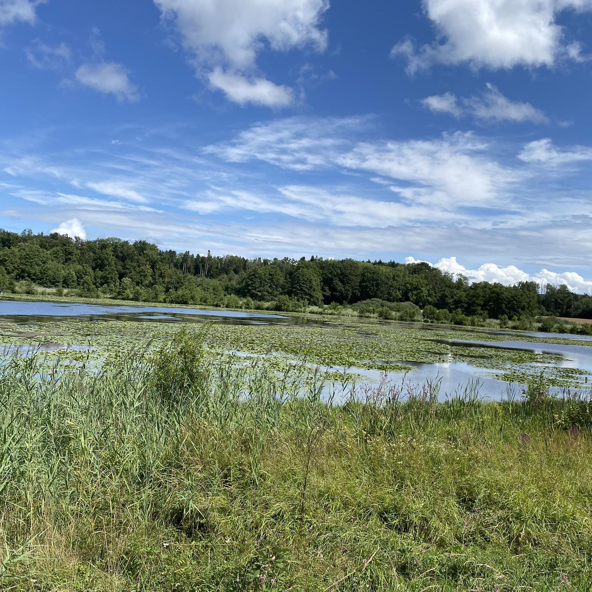
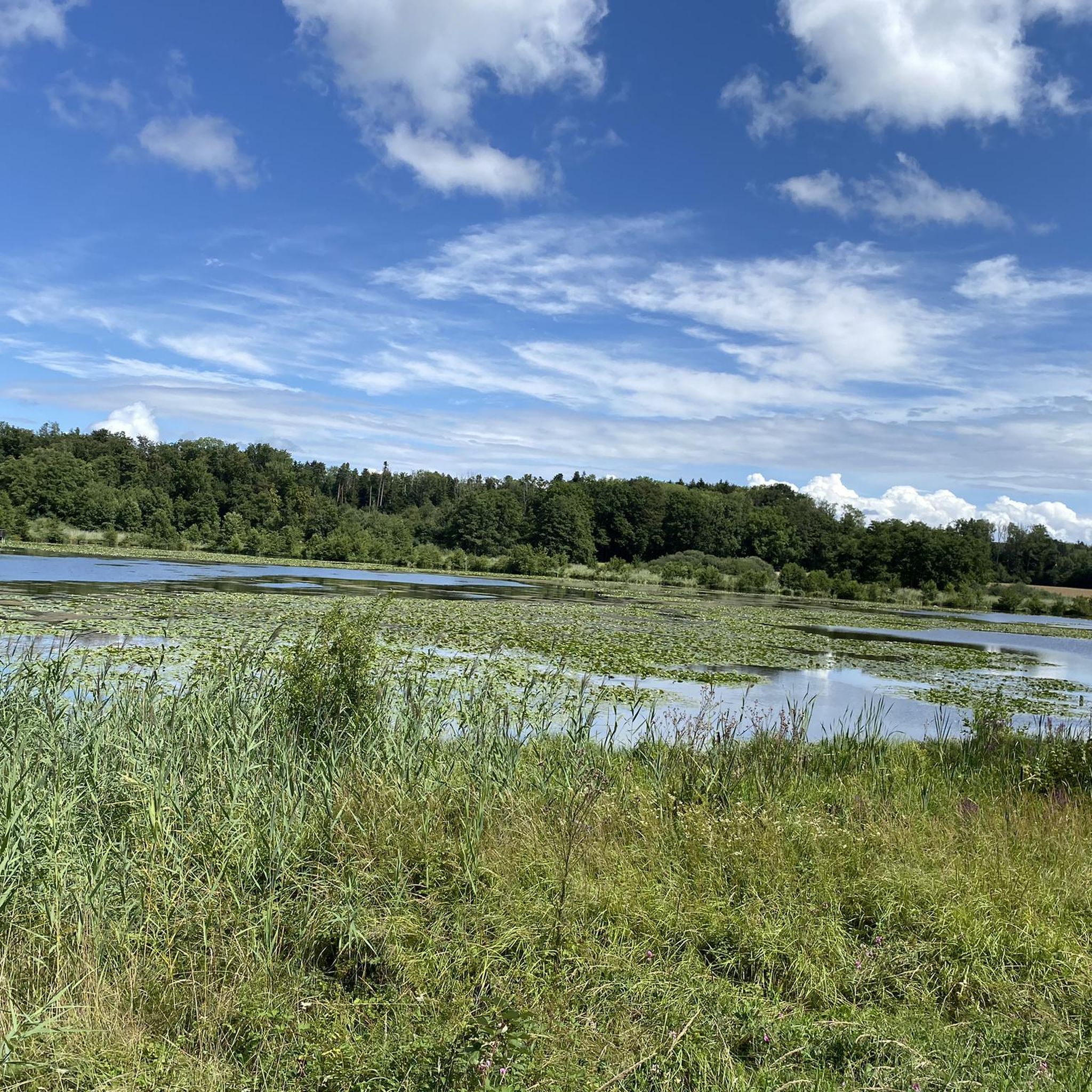
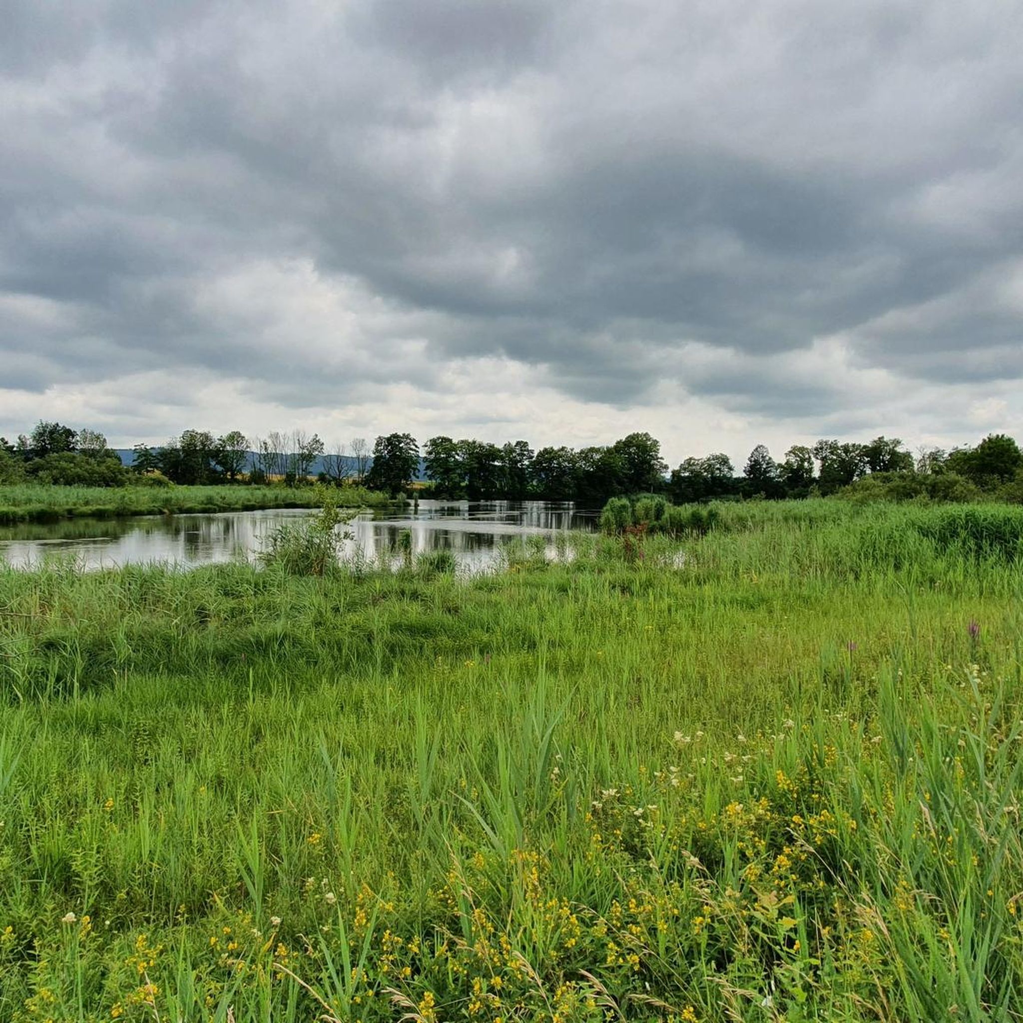
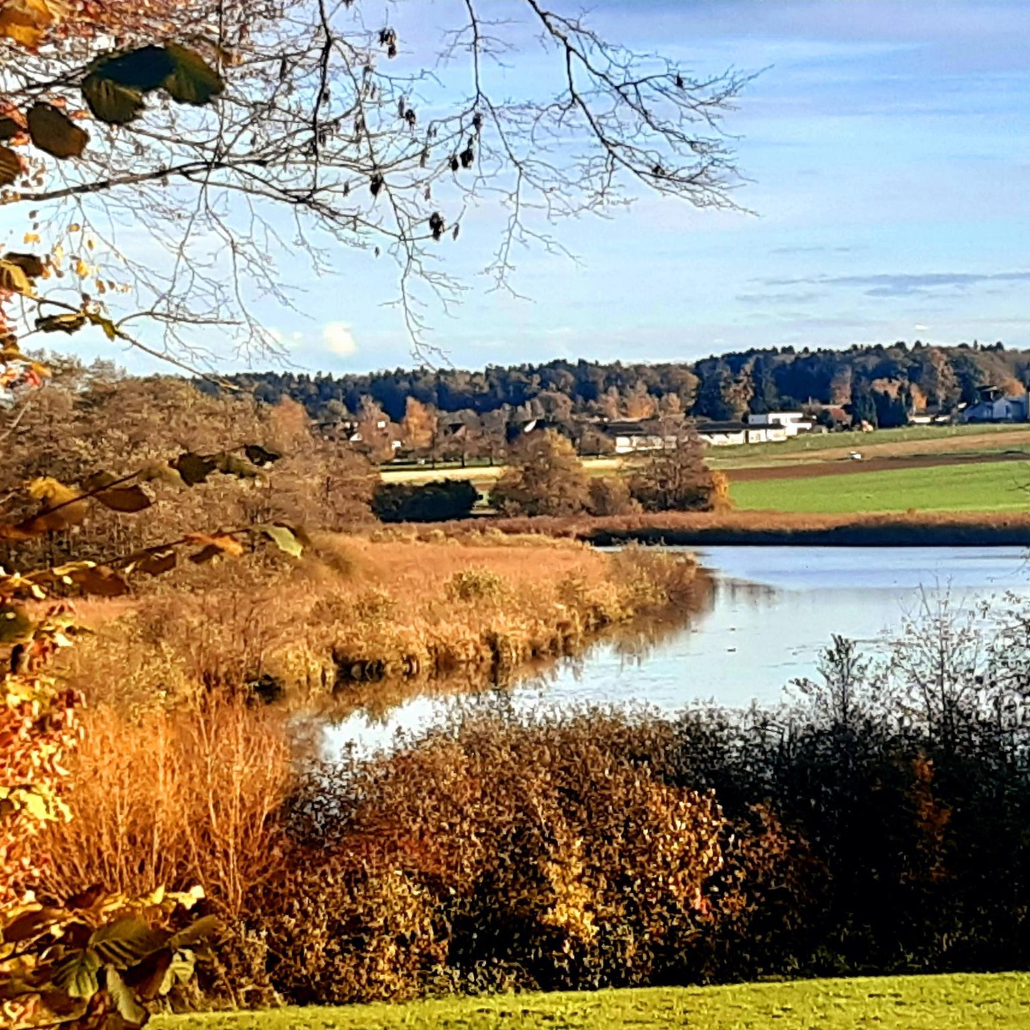
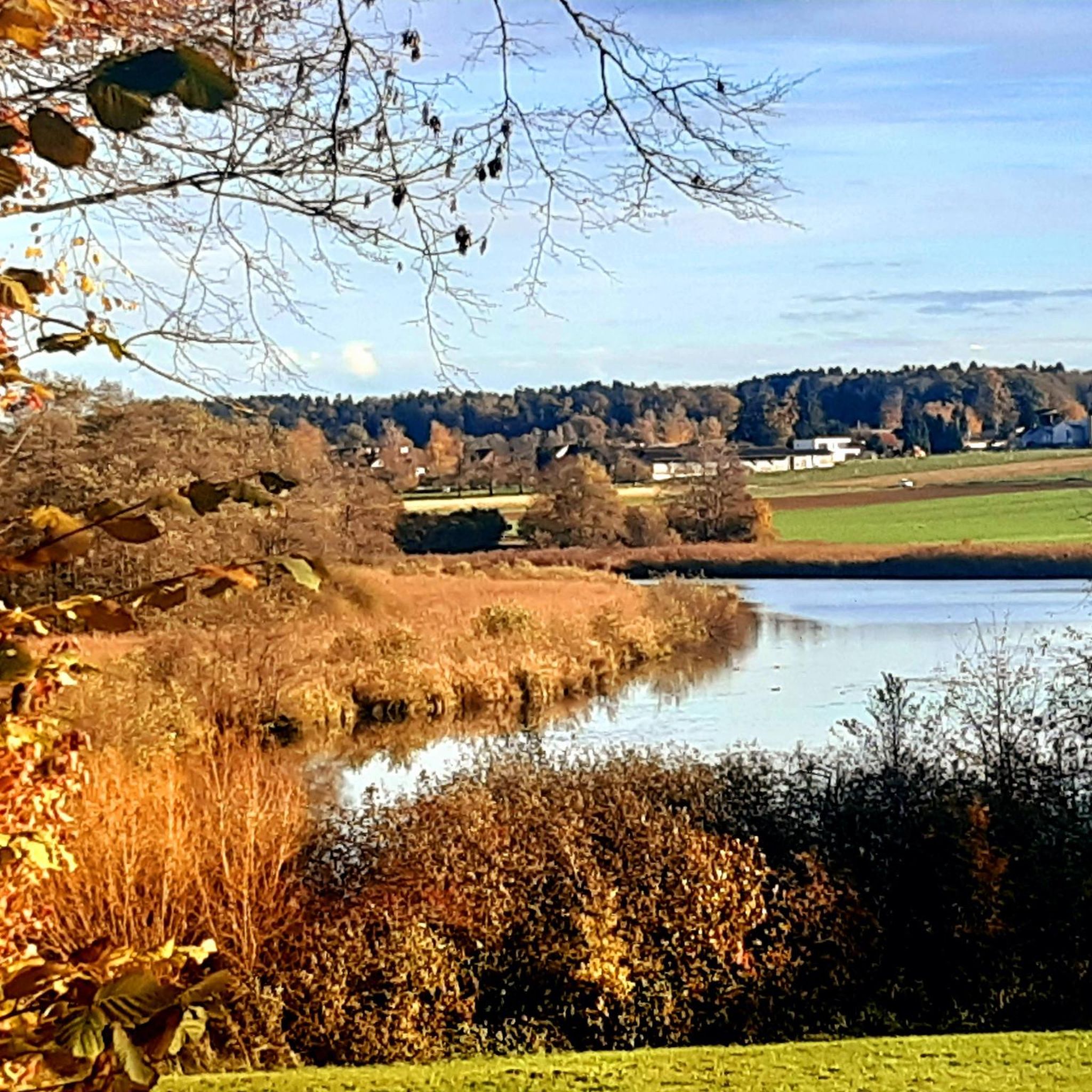
Gravel biking around Bommerweiher offers a diverse landscape characterized by its picturesque pond system, open fields, and mixed forests. The region features gentle elevation changes, making it accessible for various activity levels. Routes often combine asphalted sections with gravel paths and natural surfaces, providing a varied riding experience. This area, known for its nature reserve, provides a blend of natural beauty and recreational opportunities for gravel cyclists.
Best gravel bike trails around Bommerweiher
- The most popular gravel bike trail is View of Emmerzer Weiher – Bommer Weiher Water Lilies loop from Bernrain, a 15.4 miles (24.8 km) trail that takes 1 hour 31 minutes to complete, offering views of the pond system and surrounding natural features.
- Another top favourite among local gravel bikers is Forest Trail Thurgau – Forest Path in Thurgau loop from Kreuzlingen, a moderate 10.4 miles (16.8 km) path. This route leads through varied forest terrain, showcasing the natural beauty of Thurgau.
- Local gravel bikers also love the Bommer Pond – Bommer Weiher Water Lilies loop from Tägerwilen Dorf, a 34.1 miles (54.9 km) trail leading through the Bommerweiher nature reserve, often completed in about 3 hours 53 minutes.
- Gravel biking around Bommerweiher is defined by its serene pond system, mixed forests, and open agricultural landscapes. The network offers options for different ability levels, from moderate loops to more difficult, longer routes.
- The routes in Bommerweiher are highly rated by the komoot community with an average score of 4.5 stars from over 240 reviews. More than 1,600 gravel bikers have used komoot to explore Bommerweiher's varied terrain.
Last updated: June 28, 2026
4.9
(26)
24
riders
24.8km
01:32
250m
250m
Moderate gravel ride. Good fitness required. Mostly paved surfaces. Suitable for all skill levels.
5.0
(2)
4
riders
39.8km
02:39
510m
510m
Hard gravel ride. Very good fitness required. Mostly paved surfaces. Suitable for all skill levels.

Sign up for free
5
riders
16.8km
01:02
190m
190m
Moderate gravel ride. Good fitness required. Mostly paved surfaces. Suitable for all skill levels.
5.0
(3)
37
riders
52.5km
03:10
560m
560m
Hard gravel ride. Very good fitness required. Mostly paved surfaces. Suitable for all skill levels.
4.7
(7)
48
riders
32.8km
01:48
280m
280m
Moderate gravel ride. Good fitness required. Mostly paved surfaces. Suitable for all skill levels.
Get access to more routes and recommendations from other explorers.
Sign up for free
Already have an account?
Our route recommendations are based on thousands of hikes, rides, and runs completed by other people on komoot.
Start today with a free account
Your next adventure awaits.
Login or Signup
Tips from the Community

Very nice and very quietly located.
0
0

Very nice corner. Much too crowded in summer.
0
0

Graf Lennart-Bernadotte-Allee! Huge, ancient plane trees – a wonderful path for both pedestrians and cyclists – special in every season!
0
0

Simply a magnificent view!
0
0

Firstly there were a lot of speeding cyclists and unfortunately you couldn't ride relaxed.
1
0

Frequently Asked Questions
How many gravel bike trails are available around Bommerweiher?
There are over 200 gravel bike routes available around Bommerweiher on komoot, catering to various skill levels from easy to difficult.
What kind of terrain can I expect on gravel bike trails in Bommerweiher?
The terrain around Bommerweiher is diverse, featuring a mix of asphalted sections, gravel paths ("Schotterweg"), and natural surfaces. You'll encounter gentle hills, open fields, and mixed forests, providing a varied and engaging experience.
Are there any family-friendly gravel biking options in the Bommerweiher area?
Yes, the region's low elevation changes make many routes accessible for various activity levels, including families. Look for routes categorized as 'easy' or 'moderate' on komoot for suitable options.
What natural features or landmarks can I see along the gravel bike trails?
The Bommerweiher region is known for its picturesque pond system, which is a significant nature reserve. You can explore highlights like the Bommer Weiher Water Lilies, the Bommer Pond, and the Lower Bommer Pond. There's also a Boardwalk + platform for birdwatching and a Fire pit at Bommer Weiher for resting.
Are there any circular gravel bike routes around Bommerweiher?
Yes, many routes in the area are designed as loops. For example, the "View of Emmerzer Weiher – Bommer Weiher Water Lilies loop from Bernrain" offers a scenic circular tour, and the "Forest Trail Thurgau – Forest Path in Thurgau loop from Kreuzlingen" is another popular option.
What do other gravel bikers enjoy most about the Bommerweiher area?
The area is highly rated by the komoot community, with an average score of 4.5 stars from over 240 reviews. Riders frequently praise the serene natural setting, the blend of surfaces, and the diverse landscapes of ponds, fields, and forests.
When is the best time of year to go gravel biking in Bommerweiher?
The region is enjoyable for gravel biking throughout much of the year. Spring and autumn offer pleasant temperatures and vibrant scenery, while summer provides longer daylight hours. The mixed terrain can be ridden in most conditions, though checking local weather is always advisable.
Are there any longer, more challenging gravel bike routes available?
Yes, for those seeking a longer challenge, the "Bommer Pond – Bommer Weiher Water Lilies loop from Tägerwilen Dorf" is a difficult 34.1-mile (54.9 km) trail that leads through the nature reserve. Another demanding option is the "Schwägalp Pass summit – View of the Säntis North Face loop from Kreuzlingen" which is significantly longer and features substantial elevation gain.
Can I find places to rest or have a picnic along the trails?
Yes, the Bommerweiher area is well-equipped for visitors. There are pleasant resting spots and a well-maintained Bommer Weiher barbecue area with free wood and views of the pond, perfect for a break.
Is there public transport access to the gravel biking trails in Bommerweiher?
While specific public transport connections to trailheads vary, the region is generally accessible. Many routes start from towns like Kreuzlingen or Tägerwilen Dorf, which typically have public transport links. It's recommended to check local bus or train schedules for the most convenient access points.
Are there any routes that offer views of Lake Constance?
Yes, some routes in the broader region offer views of Lake Constance. For example, the "View of Lake Constance – Napoleon Tower loop from Kurzrickenbach Seepark" is a moderate route that includes scenic lake views.
Most popular routes around Bommerweiher
Most popular attractions around Bommerweiher

Get inspired with the komoot mobile app


Explore more
Browse the best Gravel rides in other regions.
