The best gravel rides around Oberblegisee
4.4
(14)
144
riders
11
rides
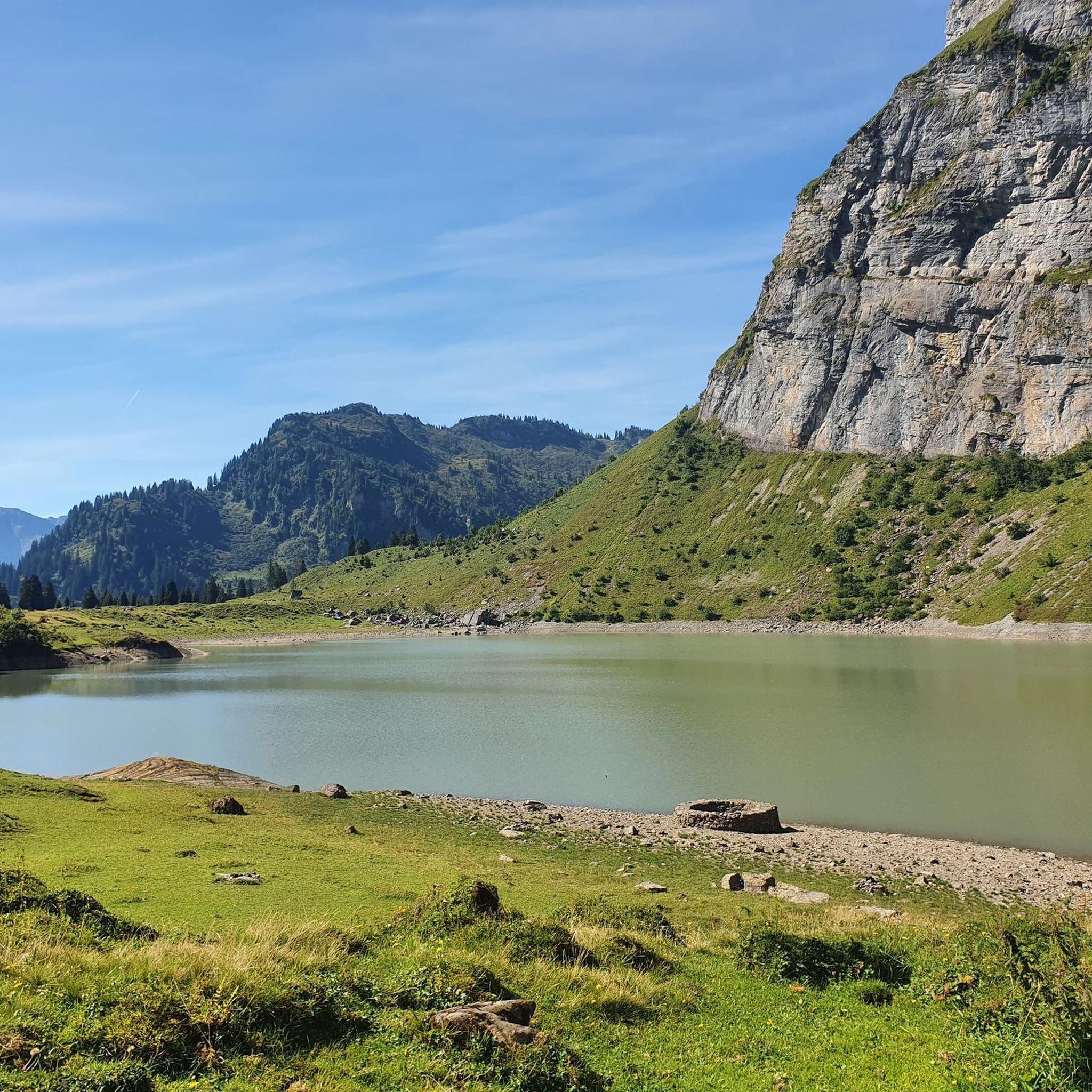
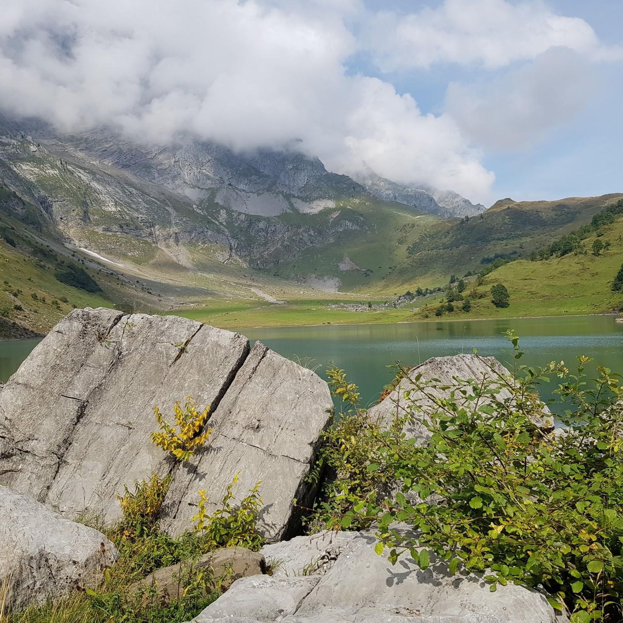
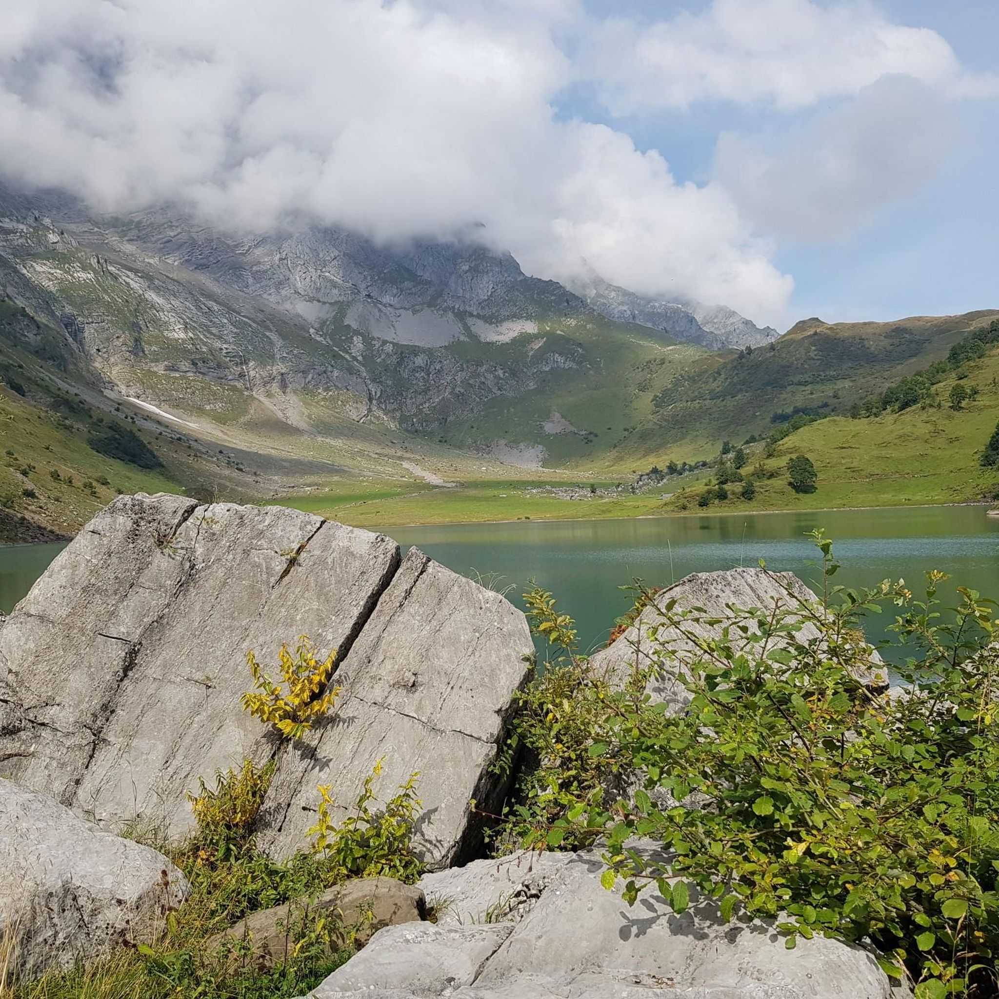
Gravel biking around Oberblegisee offers routes through varied terrain, characterized by river valleys, lakeside paths, and forested sections. The region, part of the Glarus area, features a mix of flat stretches along waterways and climbs into higher elevations. These trails often follow the Linth and Sernf rivers, passing through villages and alongside the Klöntalersee. The landscape includes lush alpine meadows and wild mountain streams, with panoramic views of peaks like Hausstock and Tödi.
Best gravel bike trails around Oberblegisee
- The most popular gravel bike trail is Walensee Lakeside Trail – Walensee Lakeside Cycle Path loop from Glarus, a 31.4 miles (50.6 km) trail that takes 2 hours 52 minutes to complete. This difficult route offers lakeside views and varied terrain.
- Another top favourite among local gravel bikers is Linth Canal – Linth Canal loop from Glarus, a moderate 40.9 miles (65.9 km) path. This route follows the Linth Canal, providing a mix of flat stretches and gentle climbs.
- Local gravel bikers also love the Lassigen Meadow Trail – Enneteggen Rest Area loop from Ennenda, a 16.3 miles (26.3 km) trail leading through meadows and forested areas, often completed in about 2 hours 42 minutes.
- Gravel biking around Oberblegisee is defined by river valleys, lake shorelines, and dense woodlands. The network offers options for different ability levels.
- The routes in Oberblegisee are highly rated by the komoot community with an average score of 4.4 stars from over 7 reviews. More than 130 gravel bikers have used komoot to explore Oberblegisee's varied terrain.
Last updated: July 2, 2026
4.4
(5)
44
riders
44.0km
02:33
580m
580m
Hard gravel ride. Very good fitness required. Mostly paved surfaces. Suitable for all skill levels.
4.0
(1)
20
riders
33.5km
02:26
650m
650m
Hard gravel ride. Very good fitness required. Mostly paved surfaces. Suitable for all skill levels.

Sign up for free
4.0
(3)
30
riders
65.9km
03:25
360m
360m
Moderate gravel ride. Good fitness required. Mostly paved surfaces. Suitable for all skill levels.
4.5
(2)
10
riders
26.2km
02:42
1,060m
1,060m
Hard gravel ride. Very good fitness required. Mostly paved surfaces. Suitable for all skill levels.
4.5
(2)
8
riders
23.2km
01:58
630m
630m
Hard gravel ride. Very good fitness required. You may need to push your bike for some segments of this route.
Get access to more routes and recommendations from other explorers.
Sign up for free
Already have an account?
Our route recommendations are based on thousands of hikes, rides, and runs completed by other people on komoot.
Start today with a free account
Your next adventure awaits.
Login or Signup

Tips from the Community

Many bunkers and simply a great area.
0
0

the fastest and most beautiful way from Weesen to Kerenzerberg / Mollis
0
0

When the weather is nice, the food carts are open with tables. Swimming in the Linth: A matter of course for locals, for others it can be a challenge to get into or jump into the cold, rushing Linth. With little water (July/August), the Linth can also be waded through.
0
0
Well-maintained cycle path along the southern shore of the lake, not always full width for e.g. crossing cyclists with trailers. The path was also relatively well visible at night (with a bike light, of course), and lit in many sections. Unpaved sections between the ascents Geisterraststätte and Mühlehorn, as well as at the Linth estuary. Otherwise very impressive with the surrounding mountains.
0
0
Well-maintained cycle path along the southern shore of the lake, not always full width for e.g. crossing bikes with trailers. The path was relatively well visible at night too (with bike light, of course), and in many sections also illuminated. Unpaved sections between the ascents Geisterraststätte and Mühlehorn, as well as at the Linth estuary. Otherwise very impressive with the surrounding mountains.
0
0

This is not a trail but a paved cycle path.
1
0

Pleasantly cool in the tunnel when it's tropical outside.
0
0

Even though the tunnel is well lit, you should still drive with your lights on. ✌🏻
1
0
Frequently Asked Questions
How many gravel bike trails are available around Oberblegisee?
There are 18 gravel bike routes around Oberblegisee, offering a variety of experiences from moderate riverside paths to more challenging climbs into higher elevations.
Are there any beginner-friendly gravel bike trails near Oberblegisee?
Yes, for those looking for an easier ride, routes like the Linth Bridge, Rüti – Linth Riverside Trail loop from Luchsingen-Hätzingen offer moderate terrain along the Linth River. Another option is the Linth River Cycle Path – Tschachenwäldli Forest Trail loop from Schwanden, which also follows the Linth River.
What are some challenging gravel bike routes around Oberblegisee?
For more experienced riders, difficult routes include the Sool Village – Soolsteg Bridge over the Sernf loop from Diesbach-Betschwanden, which explores the Sernf valley, and the Klöntalersee – Klöntal Lakeside Road loop from Schwändi, which features significant elevation changes around the lake.
Are there any gravel bike routes that are loop trails?
Yes, many of the gravel bike routes around Oberblegisee are designed as loops. Examples include the Sool Village – Soolsteg Bridge over the Sernf loop from Diesbach-Betschwanden and the Linth Bridge, Rüti – Linth Riverside Trail loop from Luchsingen-Hätzingen, allowing you to start and end in the same location.
What is the typical duration for gravel bike routes in this area?
Route durations vary significantly based on distance and difficulty. Moderate routes like the Linth Bridge, Rüti – Linth Riverside Trail loop from Luchsingen-Hätzingen can take around 1 hour 35 minutes, while more difficult and longer routes such as the Klöntalersee – Klöntal Lakeside Road loop from Schwändi might require closer to 4 hours 50 minutes.
What kind of scenery can I expect on gravel bike trails around Oberblegisee?
The trails offer diverse scenery, characterized by river valleys along the Linth and Sernf, picturesque lakeside paths around Klöntalersee, and secluded forested sections. You'll also pass through charming villages and open fields, providing a varied backdrop for your ride.
What do other gravel bikers say about the trails around Oberblegisee?
The area is highly rated by the komoot community, with an average score of 4.7 stars from over 20 reviews. Reviewers often praise the varied terrain, from quiet woodlands to scenic riverside paths, and the well-maintained nature of the routes.
Are there any routes that pass by Klöntalersee?
Yes, the Klöntalersee is a prominent feature in the region. Routes like the Klöntalersee – Klöntal Lakeside Road loop from Schwändi and the Klöntalersee – Klöntal Lakeside Road loop from Glarus specifically lead through lakeside and forested areas around this beautiful lake.
What is the best time of year for gravel biking around Oberblegisee?
While specific conditions vary, the region's mix of river valleys and higher elevations suggests that spring through autumn generally offers the most favorable weather for gravel biking. Always check local weather forecasts before heading out, especially for higher sections.
Are there any cafes or places to stop for refreshments along the gravel routes?
Many routes pass through or near villages in the Glarus area, such as those along the Linth and Sernf rivers. These villages often have local cafes or restaurants where you can stop for refreshments. It's advisable to check specific village amenities along your chosen route.
Where can I find parking for gravel biking near Oberblegisee?
Routes often start from villages like Diesbach-Betschwanden, Luchsingen-Hätzingen, Schwändi, Schwanden, or Glarus. These locations typically offer public parking facilities, making them convenient starting points for your gravel biking adventure.
Most popular routes around Oberblegisee

Get inspired with the komoot mobile app


Explore more
Browse the best Gravel rides in other regions.
