The best gravel rides around Amsoldingersee
4.7
(56)
424
riders
29
rides
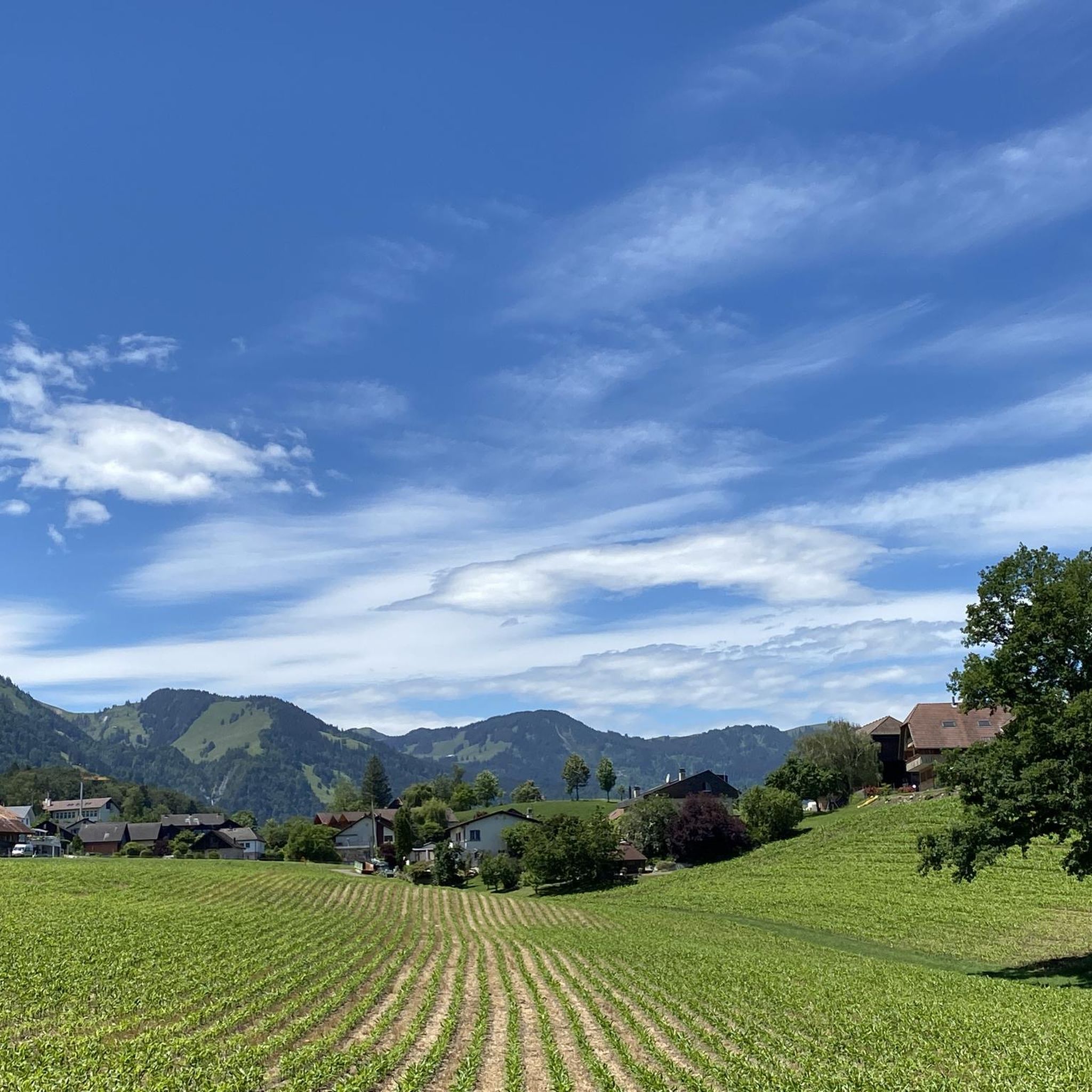
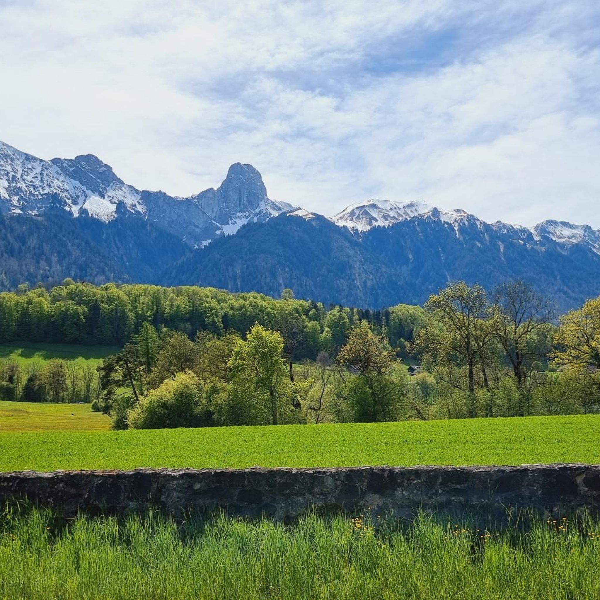
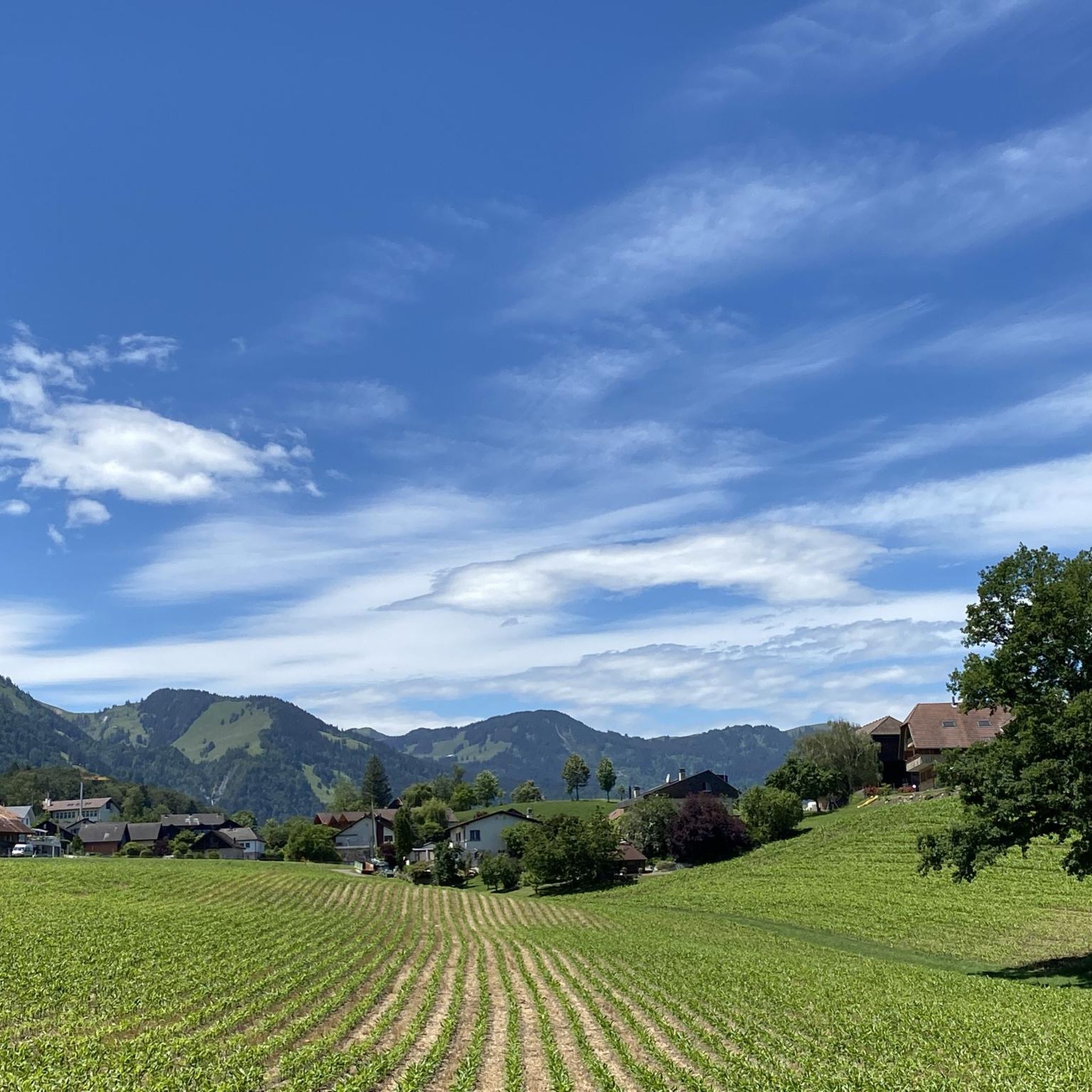
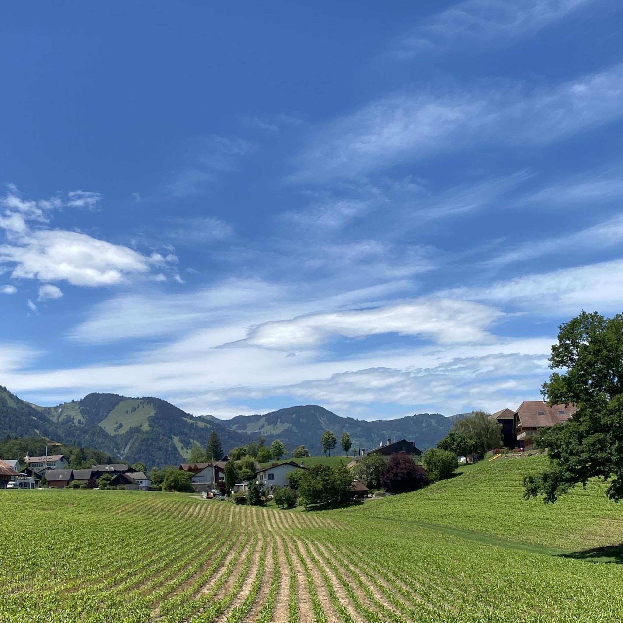
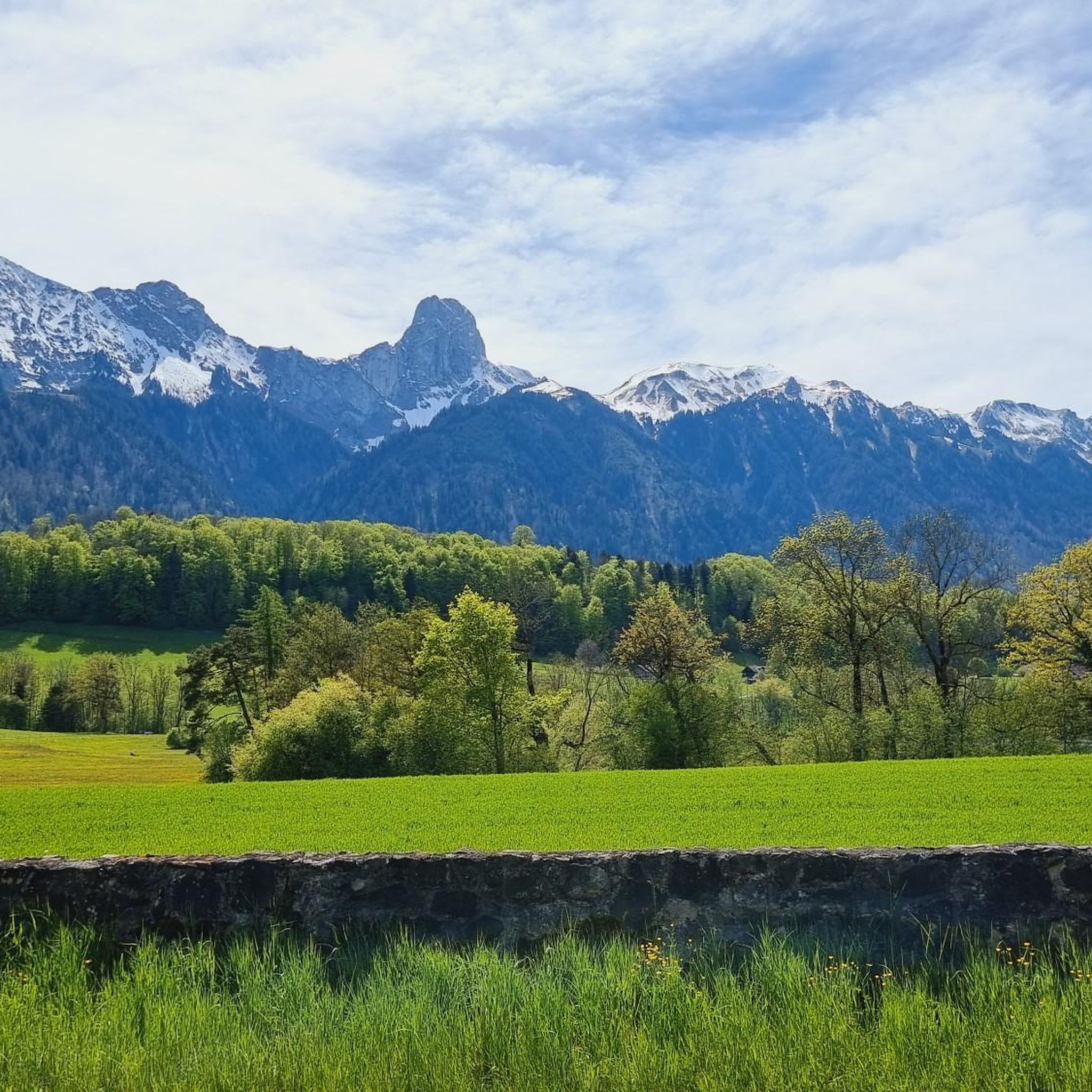
Gravel biking around Amsoldingersee offers routes through the varied landscape of the Bernese Oberland. The area features rolling hills, agricultural fields, and sections of forest, providing a mix of paved roads, gravel paths, and unpaved tracks. Routes often include views of Amsoldingersee and distant Bernese Alpine peaks. The terrain presents elevation changes from gentle inclines to more significant climbs.
Best gravel bike trails around Amsoldingersee
- The most popular gravel bike trail is Rotache Stream – Zulgschwelle loop from Thun,…
Last updated: July 2, 2026
5.0
(2)
11
riders
20.3km
01:06
120m
120m
Easy gravel ride. Great for any fitness level. Mostly paved surfaces. Suitable for all skill levels.
4.3
(3)
21
riders
Moderate gravel ride. Good fitness required. Mostly paved surfaces. Suitable for all skill levels.

Sign up for free
4.0
(1)
8
riders
35.1km
02:11
350m
350m
Moderate gravel ride. Good fitness required. Mostly paved surfaces. Suitable for all skill levels.
5.0
(1)
27
riders
67.4km
06:44
1,610m
1,610m
Hard gravel ride. Very good fitness required. You may need to push your bike for some segments of this route.
5.0
(2)
11
riders
88.0km
07:44
2,300m
2,300m
Hard gravel ride. Very good fitness required. You may need to push your bike for some segments of this route.
Get access to more routes and recommendations from other explorers.
Sign up for free
Already have an account?
Our route recommendations are based on thousands of hikes, rides, and runs completed by other people on komoot.
Start today with a free account
Your next adventure awaits.
Login or Signup
Tips from the Community

Wonderful play of colors from the water of the Aare
0
0

Very nice people and delicious sausage. Highly recommended cake.
0
0

The small village of Habkern lies seven kilometers from Interlaken in the direction of Lombachalp. Many stately wooden farmhouses stand around the village fountain, which is guarded by a hawk. Especially in spring and summer, when the red geraniums bloom in front of the windows, this creates a unique sight.
1
0

Wonderful with a playground, free swimming pool and snack bar.
0
0
At the Zulgspitz, the Zulg, which rises high up at the Grüenebergpass, flows into the Aare. It flows down over two sills, which creates an interesting picture.
2
0

In the Morgenberg gypsum quarry in Krattigen, sulphate rock (gypsum and anhydrite) is mined.
0
0

Beautiful suspension bridge for pedestrians
3
1

The Glütschbach or valley was the riverbed of the Kander until 1714. This also explains the deep incision for this small stream.
0
0
Frequently Asked Questions
What is the general difficulty level of gravel biking around Amsoldingersee?
The gravel bike trails around Amsoldingersee offer a range of difficulties. You'll find options from easy, gentle rides with minimal elevation gain to more challenging routes featuring significant climbs and varied terrain. Out of 57 available tours, 6 are considered easy, 14 moderate, and 37 are difficult, providing something for every skill level.
Are there any family-friendly gravel bike routes near Amsoldingersee?
Yes, there are family-friendly options. For a more gentle experience, consider the Rotache Stream – Zulgschwelle loop from Thun. This easy 20.3 km path follows a stream, offering a pleasant ride through the countryside with minimal elevation changes, suitable for families.
Where can I find parking for gravel biking around Amsoldingersee?
Many routes start from towns like Thun or Schwäbis, where public parking facilities are available. For example, the popular Schwarzenegg Church – View of Thun and Stockhorn loop starts from Stockhorn Arena, which typically has parking options. It's always a good idea to check local parking availability for your specific starting point.
What kind of terrain can I expect on gravel bike trails in the Amsoldingersee area?
The terrain around Amsoldingersee is quite varied, characteristic of the Bernese Oberland. You'll encounter a mix of paved roads, dedicated gravel paths, and unpaved tracks. The landscape features rolling hills, agricultural fields, and sections of forest, providing a diverse riding experience.
What are the typical durations for gravel bike rides around Amsoldingersee?
Ride durations vary significantly depending on the route's length and elevation. Shorter, easier loops like the Rotache Stream – Zulgschwelle loop can be completed in just over an hour. More challenging routes, such as the Schwarzenegg Church – View of Thun and Stockhorn loop, might take around 4 hours due to their length and significant elevation gain.
Are there any circular gravel bike routes available?
Yes, many of the gravel bike routes around Amsoldingersee are designed as loops. For instance, the Simmen Bridge loop from Schwäbis is a 41.5 km circular trail that takes you through varied terrain, including forested sections and open fields.
What kind of views can I expect while gravel biking around Amsoldingersee?
The routes often provide stunning views of Amsoldingersee itself, as well as distant Alpine peaks. You'll also ride through picturesque agricultural landscapes and forested areas. Some routes, like the View of Lake Thun with seating – Forest Path by the Stream loop, specifically highlight scenic viewpoints of Lake Thun.
What do other gravel bikers say about the trails in Amsoldingersee?
The gravel biking routes in Amsoldingersee are highly rated by the komoot community, with an average score of 4.8 stars from over 60 reviews. Riders often praise the varied landscape, the mix of surfaces, and the beautiful views of the lake and mountains.
Are there options for advanced gravel cyclists seeking a challenge?
Absolutely. For advanced riders, there are numerous challenging routes with significant elevation gain. For example, the Schwarzenegg Church – View of Thun and Stockhorn loop features over 1000 meters of elevation gain over 48.9 km, providing a demanding ride with panoramic rewards.
Can I find routes that offer views of Lake Thun and other nearby attractions?
Yes, several routes extend to offer views beyond Amsoldingersee. The View of Spiez Bay and Spiez Castle – Cave Under Haslirain loop from Thun, for instance, provides scenic vistas of Spiez Bay and its iconic castle, adding historical and cultural interest to your ride.
How many gravel bike trails are available in the Amsoldingersee region?
There are over 50 gravel bike trails available for exploration in the Amsoldingersee region. Specifically, komoot lists 57 distinct tours, offering a wide variety of distances and difficulty levels to choose from.
Most popular routes around Amsoldingersee

Get inspired with the komoot mobile app


Explore more
Browse the best Gravel rides in other regions.
