The best gravel rides around Pantà de Camarasa
5.0
(2)
46
riders
15
rides
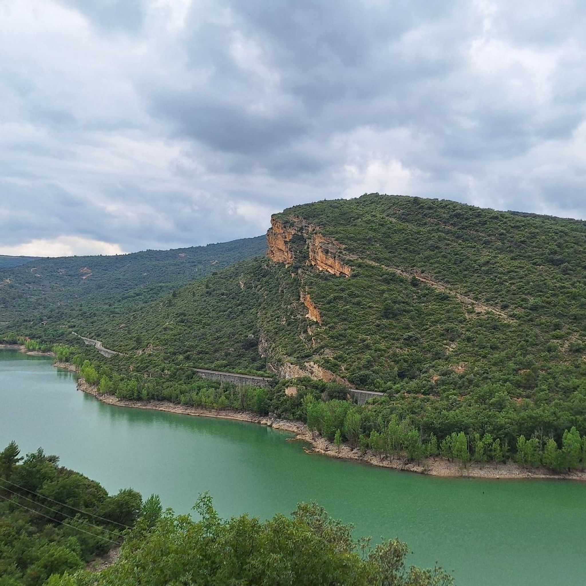
Gravel biking around Pantà de Camarasa offers routes through a landscape shaped by the Segre River and the Sant Llorenç de Montgai Lake. The region features varied terrain, including paths alongside water bodies and through areas with moderate to significant elevation changes, situated at the juncture of the Central Depression and the Pre-Pyrenees. Imposing cliffs flank the reservoir, creating a fjord-like landscape, while the natural environment supports diverse Mediterranean flora. These gravel bike trails provide opportunities to explore the natural environment of Pantà de Camarasa, from riverside paths to more challenging climbs.
Best gravel bike trails around Pantà de Camarasa
- The most popular gravel bike trail is Sant Llorenç de Montgai Lake – Segre River loop from Camarasa, a 27.2 miles (43.7 km) trail that takes 4 hours 3 minutes to complete. This difficult route explores the scenic areas around the lake and river, featuring varied terrain and significant elevation gain.
- Another top favourite among local gravel bikers is Alòs de Balaguer Spring – Well-Maintained Dirt Road loop from Camarasa, a difficult 20.3 miles (32.7 km) path. This route offers a mix of well-maintained dirt roads and climbs, with an elevation gain of over 2,100 feet (650 meters).
- Local gravel bikers also love the Segre River – Sant Llorenç de Montgai Lake loop from Sant Llorenç de Montgai, a 13.6 miles (21.9 km) trail leading through riverside and lakeside terrain, often completed in about 1 hour 43 minutes.
- Gravel biking around Pantà de Camarasa is defined by river valleys, lake shores, and varied elevation, with routes traversing both paved and unpaved segments. The network offers options for different ability levels, from moderate to difficult.
- The routes in Pantà de Camarasa are highly rated by the komoot community with an average score of 5.0 stars from over 2 reviews. More than 30 gravel bikers have used komoot to explore Pantà de Camarasa's varied terrain.
Last updated: July 8, 2026
9
riders
43.7km
03:25
820m
820m
Hard gravel ride. Very good fitness required. Mostly paved surfaces. Suitable for all skill levels.
7
riders
32.7km
02:18
650m
650m
Hard gravel ride. Very good fitness required. Mostly paved surfaces. Suitable for all skill levels.

Sign up for free
5.0
(1)
8
riders
Moderate gravel ride. Good fitness required. Mostly paved surfaces. Suitable for all skill levels.
6
riders
Moderate gravel ride. Good fitness required. Mostly paved surfaces. Suitable for all skill levels.
5.0
(1)
4
riders
35.0km
03:22
820m
820m
Hard gravel ride. Very good fitness required. Mostly paved surfaces. Suitable for all skill levels.
Get access to more routes and recommendations from other explorers.
Sign up for free
Already have an account?
Our route recommendations are based on thousands of hikes, rides, and runs completed by other people on komoot.
Start today with a free account
Your next adventure awaits.
Login or Signup
Tips from the Community

If you want to get to the mountains easily, take this road - however, it is very boring to walk.
0
0
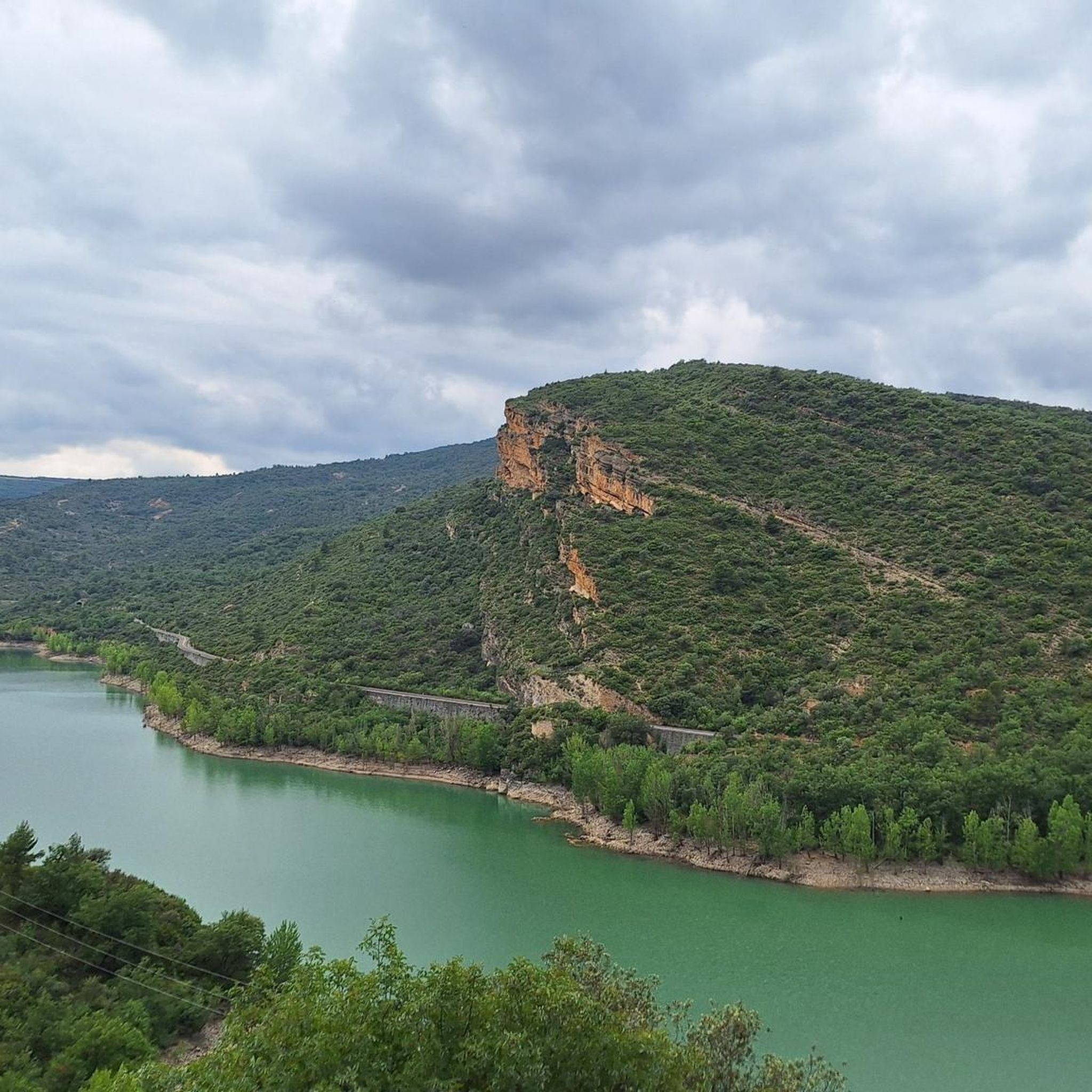
Easy hiking trail along the road. You walk directly past the cliffs and the lake. Very impressive
0
0

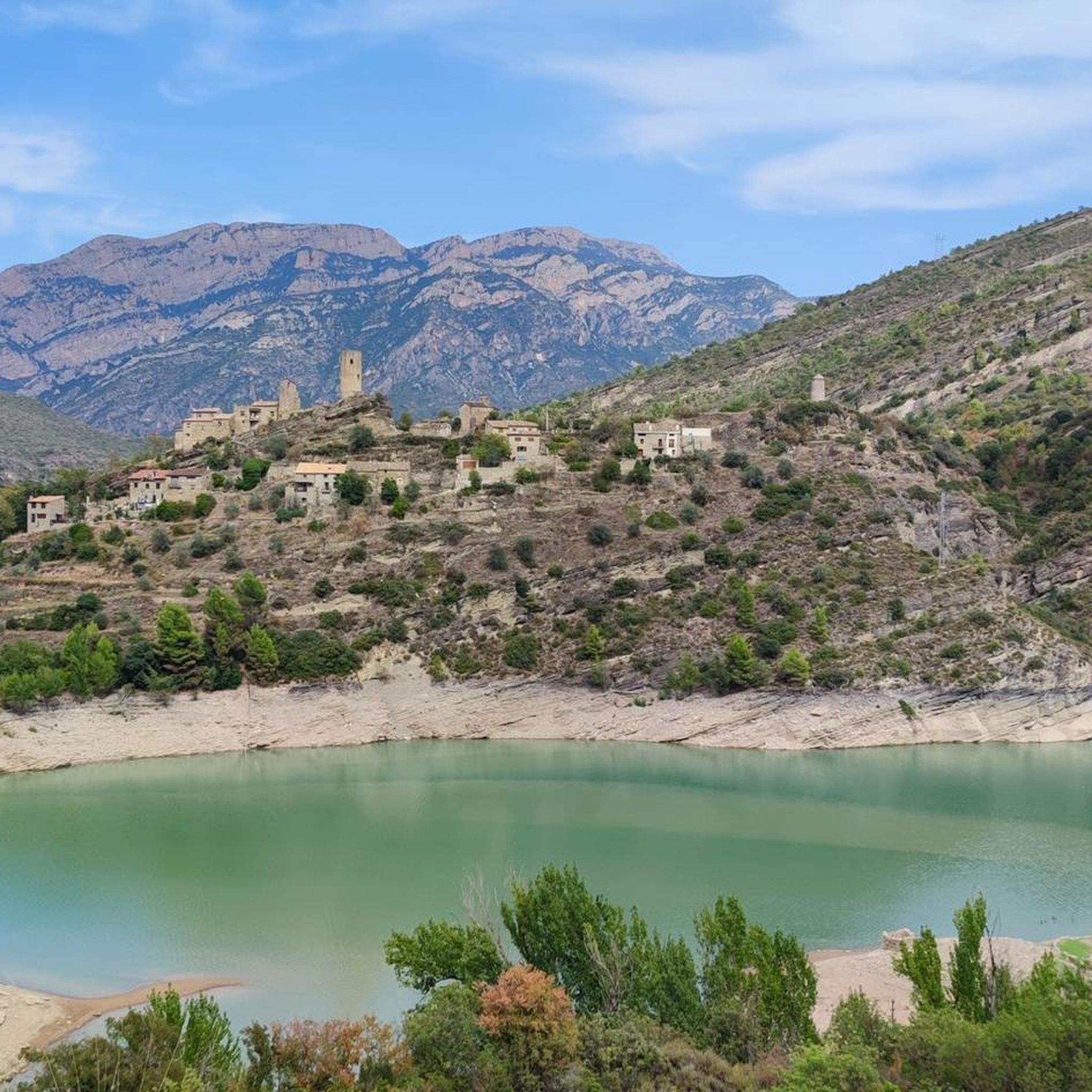
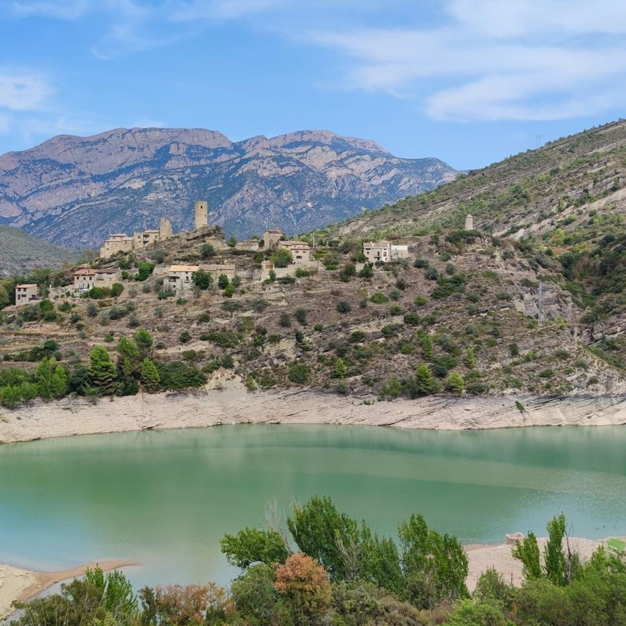
Wow, this is not to be missed! This is a fortified medieval town dating back to the 11th century. Àger is famous for its dramatic position at the foot of the Montsec mountain range and its preservation of Romanesque and Gothic architecture.
0
0

Good path for mountain bikes, doable with gravel bikes but not very nice
0
0

Ruta 2 now is signposted from Balaguer to the dam at St Llorenc de Montgui. Metal mesh platform has been constructed on east bank dam approach so bikes can cycle straight across to St Laurenc dM. It's very good.
0
0
Ermita closed, but has space for tent on the meadow in front of it. Tower next to it is open and has space for a 2 person tent (against bugs) but it's really cold in it. Okay for sudden rain, thunderstorms
0
0

Large parking lot from where you can start your route or take a pleasant walk along the banks of the Segre River.
0
0
Frequently Asked Questions
How many gravel bike trails are available around Pantà de Camarasa?
There are 17 gravel bike routes in the Pantà de Camarasa region. These routes offer a mix of moderate and difficult terrain, providing options for various skill levels.
Are there any beginner-friendly gravel bike routes in Pantà de Camarasa?
While many routes are moderate to difficult, some are more accessible. For a moderate experience, consider the Segre River – Sant Llorenç de Montgai Lake loop from Sant Llorenç de Montgai, which is about 21.9 km long and takes around 1 hour 43 minutes. Another moderate option is the Balaguer Bridge – San Lorenzo de Montgai Dam loop from Sant Llorenç de Montgai, covering 22.8 km in about 1 hour 27 minutes.
What are some challenging gravel bike routes for experienced riders?
For experienced gravel bikers seeking a challenge, the region offers several difficult routes. The Sant Llorenç de Montgai Lake – Segre River loop from Camarasa is a demanding 43.7 km trail, typically taking over 4 hours. Another difficult option is the Segre River – Sant Llorenç de Montgai Lake loop from Sant Llorenç de Montgai, which spans 46.2 km.
What is the typical length and duration of gravel bike trails in this area?
Gravel bike trails around Pantà de Camarasa vary significantly in length and duration. You'll find routes ranging from approximately 22 km, taking under 2 hours, to longer, more challenging rides exceeding 46 km and requiring over 4 hours to complete. The average distance for a gravel tour in the region is around 30 km.
Are there any circular gravel bike routes around Pantà de Camarasa?
Yes, many of the gravel bike routes in the Pantà de Camarasa area are designed as loops, allowing you to start and finish at the same point. Examples include the Sant Llorenç de Montgai Lake – Segre River loop from Camarasa and the Balaguer Bridge – San Lorenzo de Montgai Dam loop from Sant Llorenç de Montgai.
What kind of terrain can I expect on these gravel bike trails?
The gravel bike trails in Pantà de Camarasa feature varied terrain, including paths alongside the Segre River and Sant Llorenç de Montgai Lake. You'll encounter areas with moderate elevation changes, offering a mix of riverside paths and more challenging climbs through the natural environment.
What do other gravel bikers enjoy most about the Pantà de Camarasa region?
The area is highly rated by the komoot community, with an average score of 5.0 stars. Reviewers often praise the scenic routes that explore the lake and river, as well as the diverse terrain that caters to different ability levels.
What is the best season for gravel biking around Pantà de Camarasa?
The Mediterranean climate of the region generally makes spring and autumn ideal for gravel biking, offering pleasant temperatures and less extreme weather. Summers can be hot, while winters are typically mild but may have cooler, wetter conditions.
Are there any routes that offer extensive views of the river and lake?
Absolutely. Many routes are designed to showcase the natural beauty of the area. The Segre River – Sant Llorenç de Montgai Lake loop from Sant Llorenç de Montgai, for instance, offers extensive views of both the river and the lake, providing a truly immersive experience.
What are the elevation gains like on the gravel bike routes?
Elevation gains vary significantly across the routes. Moderate trails might have around 170-400 meters of ascent, while more difficult routes, such as the Port d'Àger – Viewpoint of the Àger Pass loop from Àger, can feature over 800 meters of climbing, providing a good workout for your legs.
Is there public transport access to the starting points of these gravel routes?
While specific public transport options directly to every trailhead might be limited, towns like Camarasa and Sant Llorenç de Montgai, which serve as common starting points, are generally accessible by regional bus services. It's advisable to check local transport schedules for the most up-to-date information.
Where can I find parking for gravel biking in Pantà de Camarasa?
Common starting points for gravel bike routes, such as the villages of Camarasa and Sant Llorenç de Montgai, typically offer public parking facilities. Look for designated parking areas within these towns, especially near popular access points to the lake or river.
Most popular routes around Pantà de Camarasa

Get inspired with the komoot mobile app


Explore more
Browse the best Gravel rides in other regions.
