The best gravel rides around Embalse de Canales
4.7
(13)
222
riders
19
rides
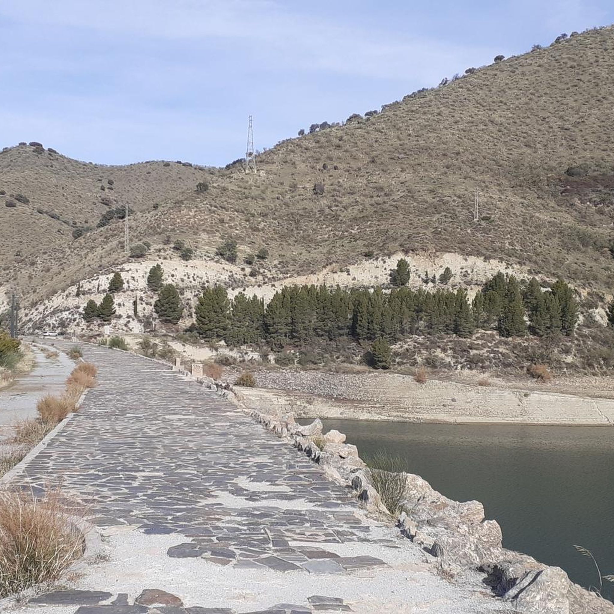
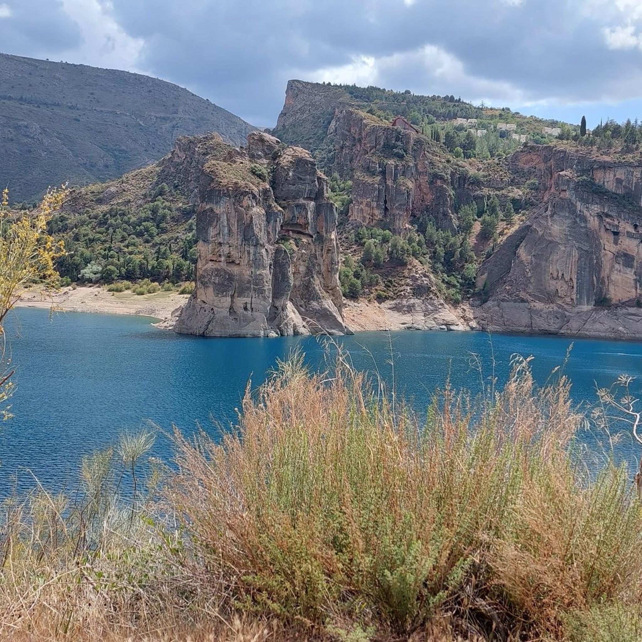
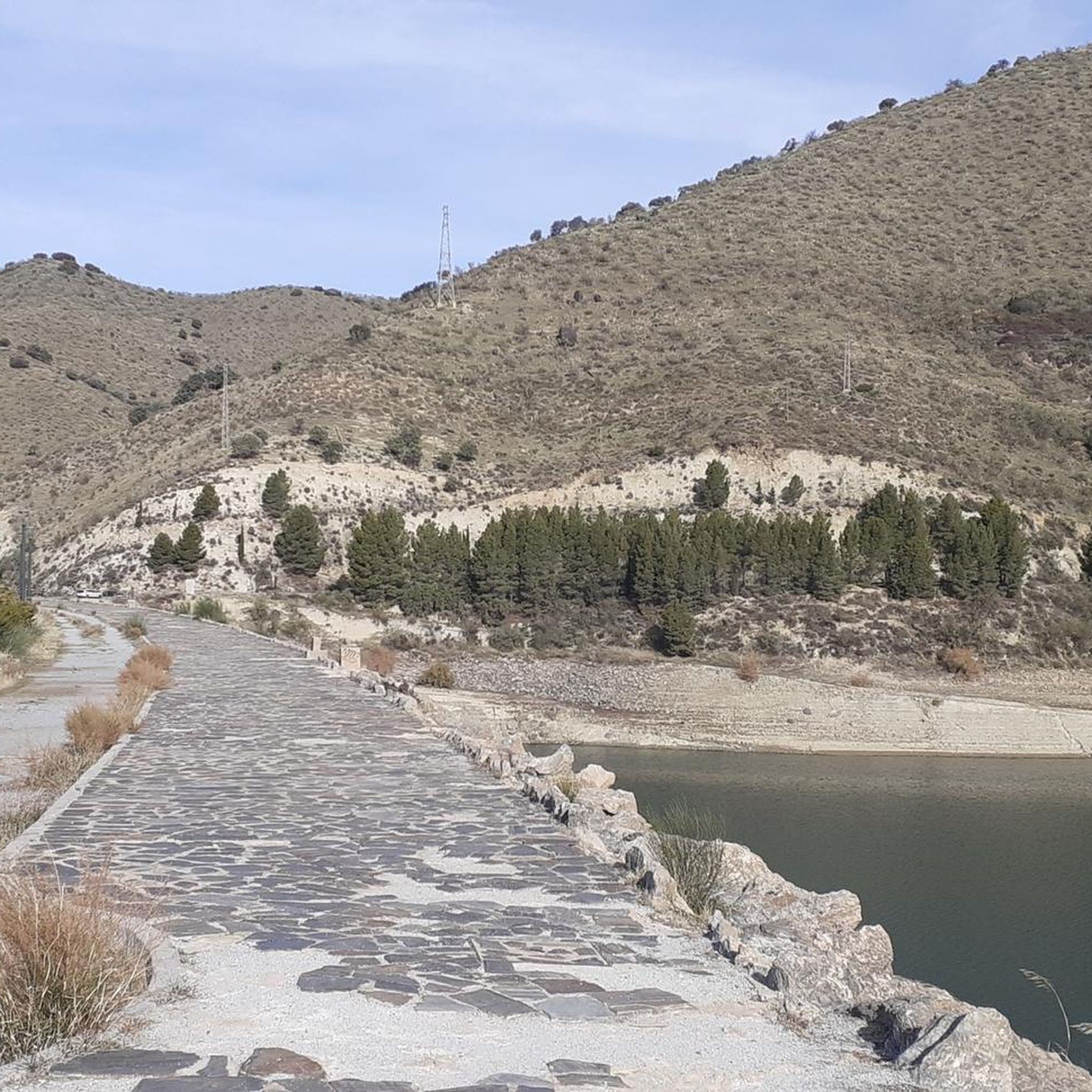
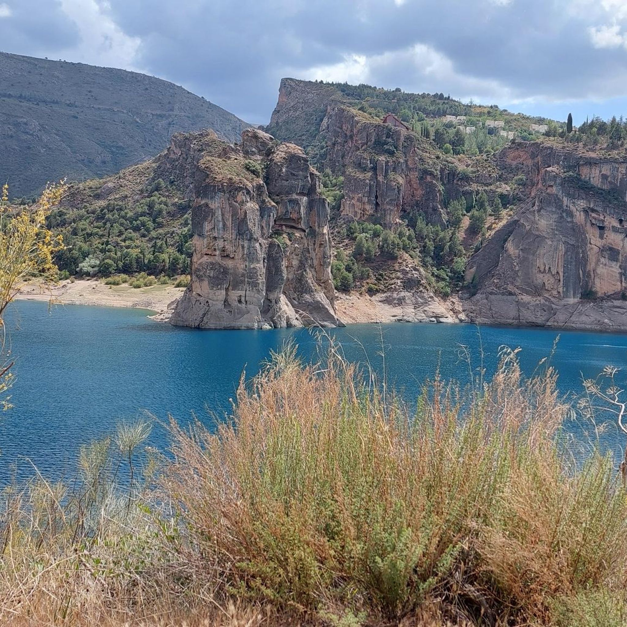
Gravel biking around Embalse de Canales offers routes through varied terrain surrounding the reservoir. The region is characterized by mountainous landscapes, with significant elevation changes and views of the water. Trails often traverse natural areas, including pine forests and open, rocky sections. The area provides a challenging environment for gravel cyclists seeking routes with considerable climbs and descents.
Best gravel bike trails around Embalse de Canales
- The most popular gravel bike trail is Canales Reservoir – Quéntar Reservoir loop from…
Last updated: July 2, 2026
4.5
(2)
13
riders
34.4km
02:41
890m
890m
Hard gravel ride. Very good fitness required. Mostly paved surfaces. Suitable for all skill levels.
7
riders
114km
10:28
2,690m
2,690m
Hard gravel ride. Very good fitness required. Mostly paved surfaces. Suitable for all skill levels.

Sign up for free
4.6
(7)
51
riders
32.4km
02:30
650m
650m
Hard gravel ride. Very good fitness required. Mostly paved surfaces. Suitable for all skill levels.
5.0
(1)
83
riders
Hard gravel ride. Very good fitness required. Mostly paved surfaces. Suitable for all skill levels.
5.0
(1)
11
riders
38.0km
03:50
1,290m
1,290m
Hard gravel ride. Very good fitness required. Mostly paved surfaces. Suitable for all skill levels.
Get access to more routes and recommendations from other explorers.
Sign up for free
Already have an account?
Our route recommendations are based on thousands of hikes, rides, and runs completed by other people on komoot.
Start today with a free account
Your next adventure awaits.
Login or Signup

Tips from the Community

Place to pass through to reach La Cortijuela at the foot of El Trevenque
0
0
Spectacular and unparalleled
0
0

This farmhouse houses a visitor center and has a fountain and a small picnic area, perfect for a break. The surrounding area is a botanical park. A good place to rest, with a wonderful view of the Trevenque.
1
0

The river destroyed the bridge last winter. Currently, it is only possible to cross the ford, but it depends on the water level.
0
0

A good place to rest, with picnic tables and benches and a wonderful view of the Trevenque.
1
0

The El Purche Road, in Monachil (La Vega de Granada), is an emblematic road that connects the urban area with the Sierra Nevada National Park, well known to cyclists, hikers and lovers of panoramic views.
2
0
The Cumbres Verdes trails, in La Zubia (La Vega de Granada), are one of the most popular areas for hiking near Granada, within the Sierra Nevada Natural Park.
2
0

Stop yes or yes
1
1
Frequently Asked Questions
What is the general difficulty level of gravel biking trails around Embalse de Canales?
Gravel biking around Embalse de Canales is primarily suited for experienced riders. The region features mountainous landscapes with significant elevation changes, meaning most routes are classified as difficult. There are currently no easy routes available, and only one moderate route.
Are there any family-friendly gravel bike trails in the Embalse de Canales area?
Due to the challenging terrain and significant elevation gains, most gravel bike routes around Embalse de Canales are not considered family-friendly, especially for younger children or beginners. The majority of trails are classified as difficult, requiring a good level of fitness and experience.
What kind of scenery can I expect on gravel bike routes around Embalse de Canales?
You can expect stunning views of the reservoir itself, alongside varied natural landscapes. Trails often traverse pine forests and open, rocky sections, offering a mix of shaded and exposed riding. Many routes provide panoramic vistas of the surrounding mountains and, in some cases, views towards Granada.
Are there any circular gravel bike routes available?
Yes, many of the gravel bike routes around Embalse de Canales are designed as loops. For example, the Canales Reservoir – Quéntar Reservoir loop from Güéjar Sierra and the Sundial of Llano de la Perdiz – Cerro del Sol Summit loop from Cenes de la Vega are popular circular options.
What are some notable attractions or landmarks I might see while gravel biking in the area?
The primary attraction is the Canales Reservoir itself, which many routes circle or pass by. You might also encounter significant climbs like the Climb to Alto de Haza Llanas from Güéjar Sierra or enjoy scenic sections such as the Scenic road from Pinos Genil to Güéjar Sierra.
What do other gravel bikers say about the trails in Embalse de Canales?
The routes in Embalse de Canales are highly rated by the komoot community, with an average score of 4.6 stars from over 9 reviews. Riders often praise the challenging climbs, the rewarding reservoir views, and the varied natural landscapes that define the area.
Where can I find parking when starting a gravel bike ride?
Many popular routes start from villages like Güéjar Sierra or Cenes de la Vega. These villages typically offer public parking options, making them convenient starting points for exploring the Embalse de Canales area.
What is a good route for an advanced gravel biker looking for a long ride?
For advanced riders seeking a longer challenge, consider the Pinos Genil village – Hoya de la Mora loop from Cenes de la Vega. This difficult route covers over 60 kilometers with significant elevation gain, offering an extensive riding experience.
Is public transport available to reach the gravel biking trails around Embalse de Canales?
While direct public transport to specific trailheads might be limited, you can often reach the main villages surrounding the reservoir, such as Güéjar Sierra or Cenes de la Vega, by local bus services from Granada. From these villages, you can then access the starting points of many routes.
What is the best season for gravel biking around Embalse de Canales?
Given the mountainous nature of the region, spring and autumn are generally the most pleasant seasons for gravel biking. Temperatures are milder, and the landscapes are vibrant. Summer can be very hot, especially at lower elevations, while winter may bring colder temperatures and potential snow at higher altitudes.
Are there any less-trafficked or 'hidden gem' routes for gravel biking?
While many routes offer a sense of solitude, the Collado del Alguacil – Los Blancares Pass loop from Padules is a longer, more remote option that takes you through diverse terrain. It's a challenging ride that offers a deep immersion into the region's natural beauty away from more frequented paths.
Most popular routes around Embalse de Canales

Get inspired with the komoot mobile app


Explore more
Browse the best Gravel rides in other regions.
