The best gravel rides around Obersee
4.3
(38)
378
riders
11
rides
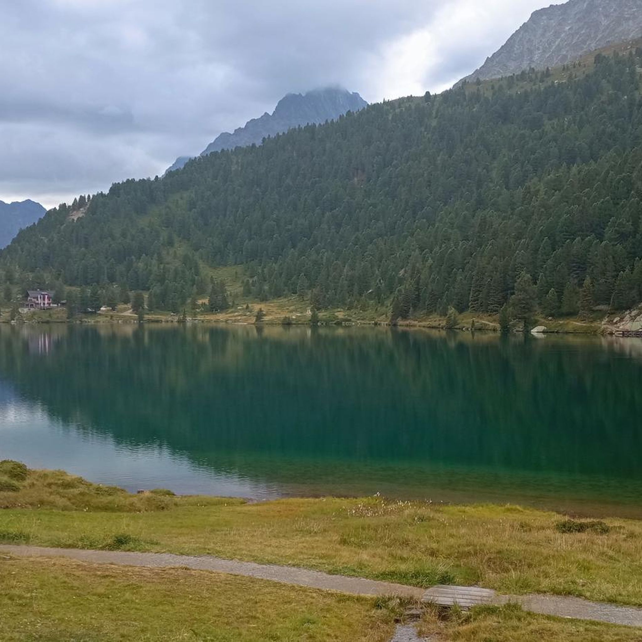
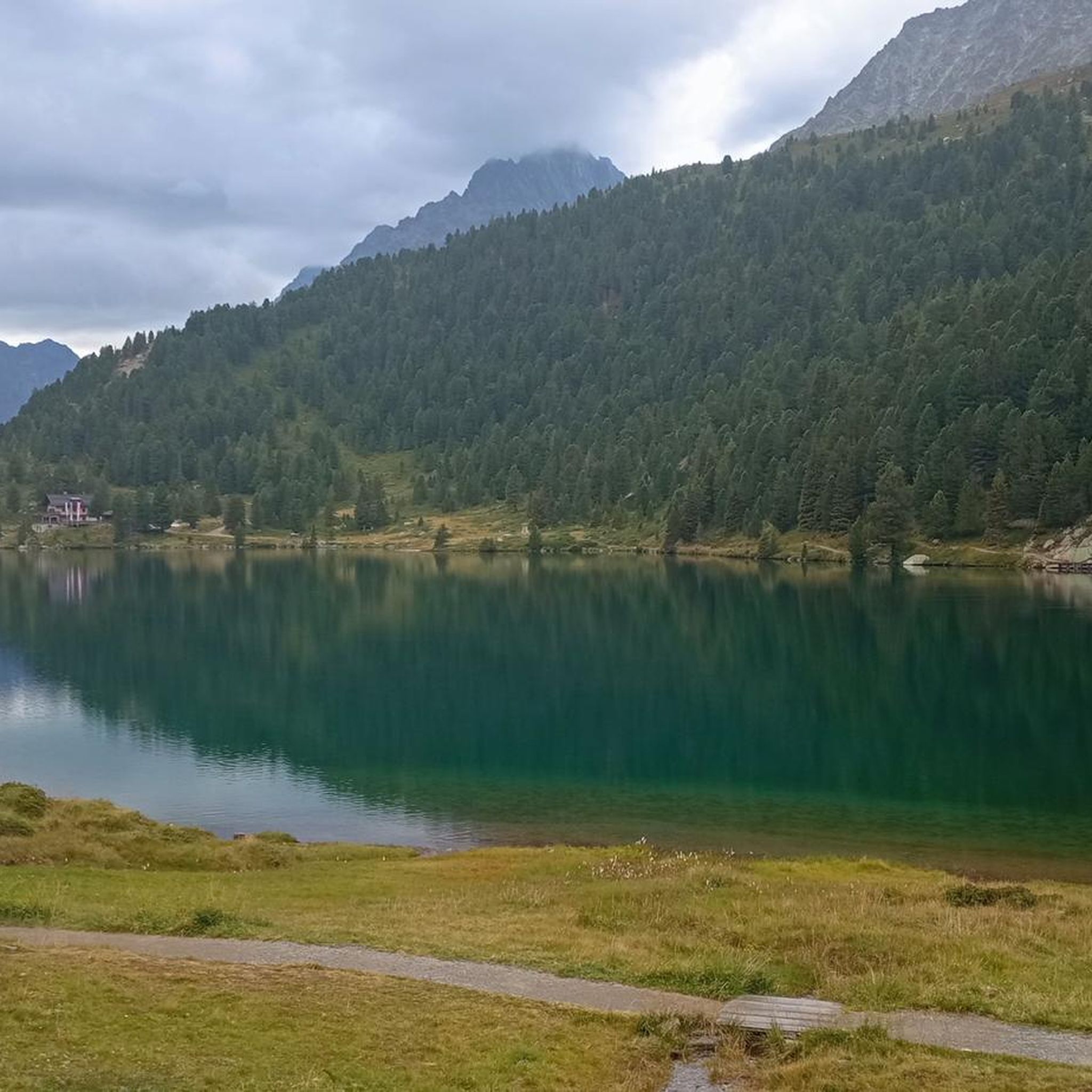
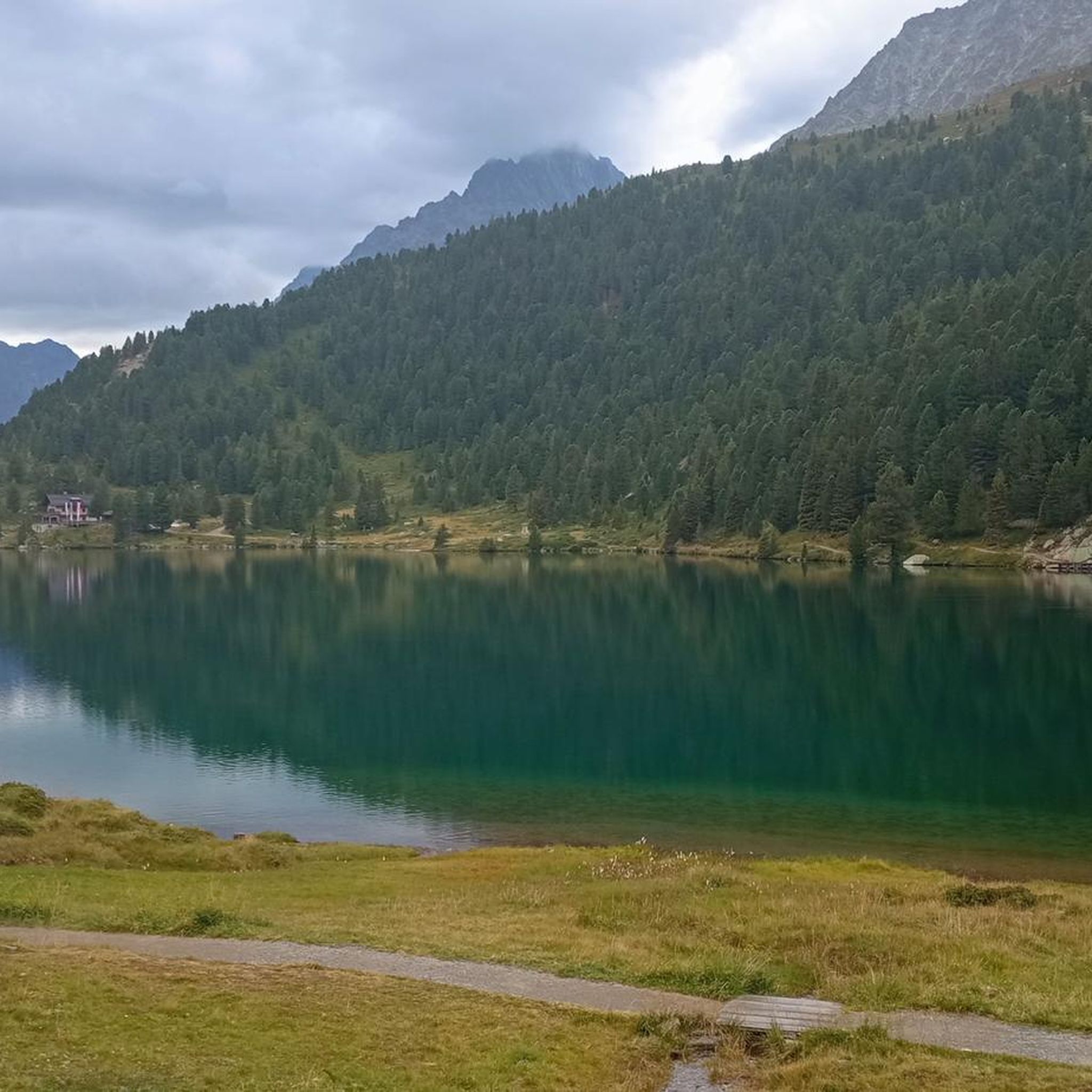
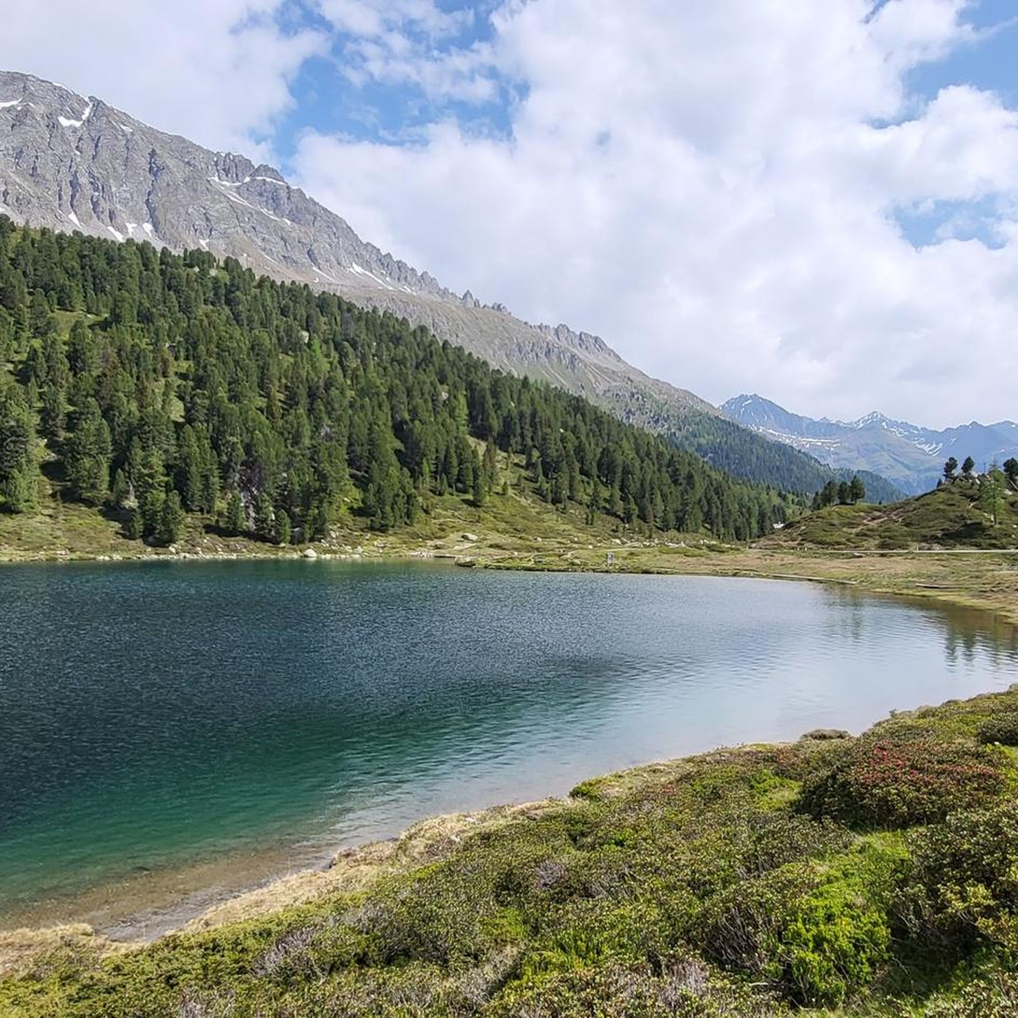
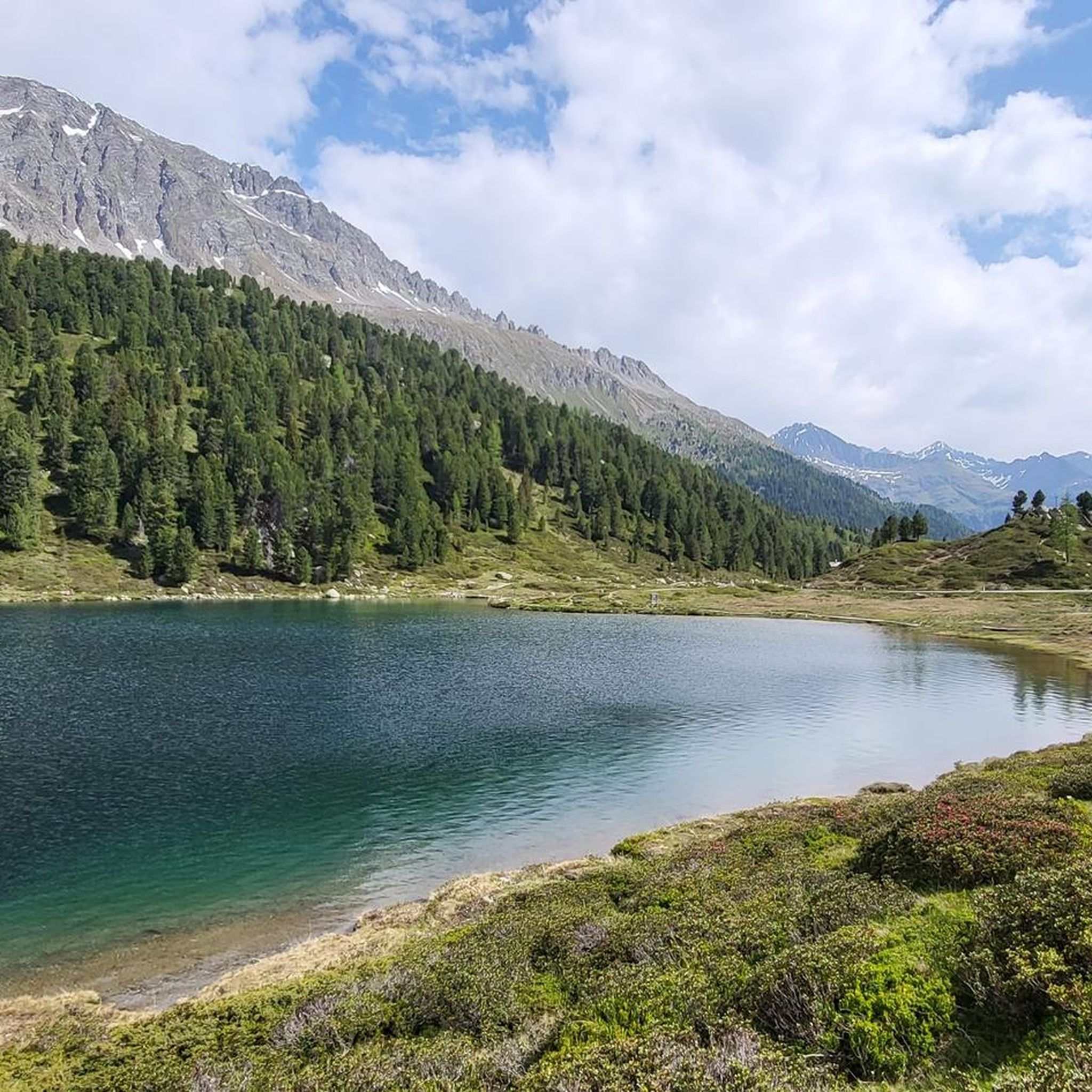
Gravel biking around Obersee offers routes through alpine valleys and past scenic lakes. The terrain is characterized by significant elevation changes, with trails often following river courses and old mule tracks. This region provides challenging gravel bike routes suitable for experienced riders seeking demanding climbs and descents. The landscape features a mix of forested sections, open valley views, and mountain backdrops.
Best gravel bike trails around Obersee
- The most popular gravel bike trail is Scenic mule track – Castel Welsperg loop from Gsies - Valle di Casies, a 41.5 miles (66.8 km) trail that takes 5 hours 10 minutes to complete. This difficult route features historical paths and views of Castel Welsperg.
- Another top favourite among local gravel bikers is Antholz Valley Trail – Rienz River in Bruneck loop from Antholz Biathlon Center, a difficult 35.1 miles (56.6 km) path. This route navigates the Antholz Valley, offering riverside riding along the Rienz River.
- Local gravel bikers also love the Lake Valdaora – View of the Olangersee loop from Gsies - Valle di Casies, a 28.9 miles (46.5 km) trail leading through lake views and valley terrain, often completed in about 3 hours 29 minutes.
- Gravel biking around Obersee is defined by alpine valleys, challenging climbs, and lake views. The network offers options primarily for advanced ability levels, with all 7 routes listed as difficult.
- The routes in Obersee are highly rated by the komoot community with an average score of 4.8 stars from over 20 reviews. More than 200 gravel bikers have used komoot to explore Obersee's varied terrain.
Last updated: July 2, 2026
4.3
(3)
34
riders
66.8km
05:10
1,380m
1,380m
Hard gravel ride. Very good fitness required. You may need to push your bike for some segments of this route.
4.8
(13)
131
riders
57.2km
03:35
860m
860m
Hard gravel ride. Very good fitness required. Mostly paved surfaces. Suitable for all skill levels.

Sign up for free
4.9
(11)
95
riders
Hard gravel ride. Very good fitness required. Mostly paved surfaces. Suitable for all skill levels.
5.0
(3)
46
riders
Hard gravel ride. Very good fitness required. Mostly paved surfaces. Suitable for all skill levels.
5.0
(1)
7
riders
Hard gravel ride. Very good fitness required. You may need to push your bike for some segments of this route.
Get access to more routes and recommendations from other explorers.
Sign up for free
Already have an account?
Our route recommendations are based on thousands of hikes, rides, and runs completed by other people on komoot.
Start today with a free account
Your next adventure awaits.
Login or Signup
Tips from the Community

Beautiful historic old town. Many nice small shops.
0
0

beautiful view of the Gsies valley
0
0

Piazza del Municipio in Dobbiaco is a quiet corner where alpine aesthetics meet the vibrancy of the local community. At the center of this scene, the stone fountain is not just a decorative element, but a symbol of freshness that marks time with its constant murmur. The crystal-clear water that flows reflects the profiles of the surrounding peaks and the well-kept facades of the historic buildings, offering a regenerating resting spot for hikers and residents. The architecture of the square, with its elegant lines and flowered balconies, surrounds the basin, creating a postcard-like atmosphere. Here, amidst the scent of wood and the sound of chiming bells, the fountain becomes the beating heart of an open-air living room that invites you to slow down and breathe the pure air of the Dolomites.
0
0

Very nice cycling route, also good to ride on very hot days as there is always some shade.
0
0

Beautiful cycle path, beautiful mountains
0
0

The tunnel is currently closed due to a rock fall. https://www.bruneck.com/en/activities/bike/cycling The site is showing a pop up after opening - also with a detour map.
2
0

Frequently Asked Questions
What is the general difficulty level of gravel biking trails around Obersee?
Gravel biking around Obersee is primarily suited for experienced riders. All 7 routes in the area are classified as difficult, featuring significant elevation changes and challenging terrain through alpine valleys.
Are there any family-friendly or beginner gravel bike routes in the Obersee region?
The gravel bike routes around Obersee are generally challenging and are not typically recommended for beginners or families with young children. All available routes are rated as difficult, involving considerable climbs and descents.
What kind of terrain can I expect on gravel bike trails near Obersee?
The terrain around Obersee is characterized by alpine valleys, demanding climbs, and scenic lake views. Trails often follow river courses, old mule tracks, and feature a mix of forested sections and open valley landscapes with mountain backdrops.
Are the gravel bike routes around Obersee typically circular?
Yes, all the gravel bike routes listed for the Obersee region are designed as loops, allowing you to start and finish at the same point. For example, the Scenic mule track – Castel Welsperg loop from Gsies - Valle di Casies is a popular circular option.
What are some notable natural attractions or viewpoints along the gravel bike trails?
Many routes offer stunning views. You can find highlights such as the Obersee at the Staller Saddle, the Most beautiful part of the Staller Sattel, and panoramic View of the Villgraten Mountains. The Lake Valdaora – View of the Olangersee loop from Gsies - Valle di Casies specifically features lake views.
Are there any places to stop for refreshments or rest along the routes?
While specific cafes are not detailed for every route, you might encounter mountain huts or inns. For instance, the Alpine Inn Oberseehütte is a highlight near some of the trails, offering a potential stop.
What is the best season for gravel biking around Obersee?
Given the alpine nature of the region, the best season for gravel biking around Obersee is typically from late spring through early autumn (May to October). During these months, trails are generally free of snow, and weather conditions are more favorable, though alpine weather can change rapidly.
How long are the gravel bike routes in Obersee?
The gravel bike routes around Obersee vary in length, catering to different endurance levels within the 'difficult' category. They range from shorter, intense climbs like the Antholz Valley Tour – Grentealm (2002 m) loop from Antholz Mittertal - Anterselva di Mezzo at approximately 11 miles (17.7 km) to longer expeditions such as the Antholz Valley Trail – Rienz River in Bruneck loop from Antholz Biathlon Center, which is about 35.1 miles (56.6 km).
What do other gravel bikers say about the trails in Obersee?
The gravel biking routes in Obersee are highly regarded by the komoot community, holding an impressive average rating of 4.8 stars from over 20 reviews. Riders frequently praise the challenging nature of the trails, the stunning alpine scenery, and the rewarding views.
Are there any less-traveled or 'hidden gem' gravel routes in the area?
While all routes offer unique experiences, the Antholz Valley – Antholz Valley Trail loop from Antholz Mittertal - Anterselva di Mezzo is a slightly shorter, yet equally challenging option that provides a deep dive into the valley's landscape, perhaps offering a more secluded feel compared to the most popular trails.
Is public transport accessible to reach gravel bike trailheads around Obersee?
Access to trailheads via public transport can be limited in some alpine regions. While specific public transport links to every trailhead are not detailed, it's advisable to check local bus schedules or regional train services that might connect to towns near the starting points, such as Gsies - Valle di Casies or Antholz Mittertal - Anterselva di Mezzo.
What are the typical elevation gains on gravel bike trails in Obersee?
The gravel bike trails around Obersee feature significant elevation gains, reflecting their 'difficult' classification. For example, the Scenic mule track – Castel Welsperg loop from Gsies - Valle di Casies involves an ascent of over 1,300 meters (4,265 ft), while even shorter routes like the Antholz Valley Tour – Grentealm (2002 m) loop from Antholz Mittertal - Anterselva di Mezzo still climb over 800 meters (2,625 ft).
Most popular routes around Obersee
Most popular attractions around Obersee

Get inspired with the komoot mobile app


Explore more
Browse the best Gravel rides in other regions.
