The best gravel rides around Espai Natural de les Guilleries-Savassona
4.5
(69)
1,109
riders
177
rides
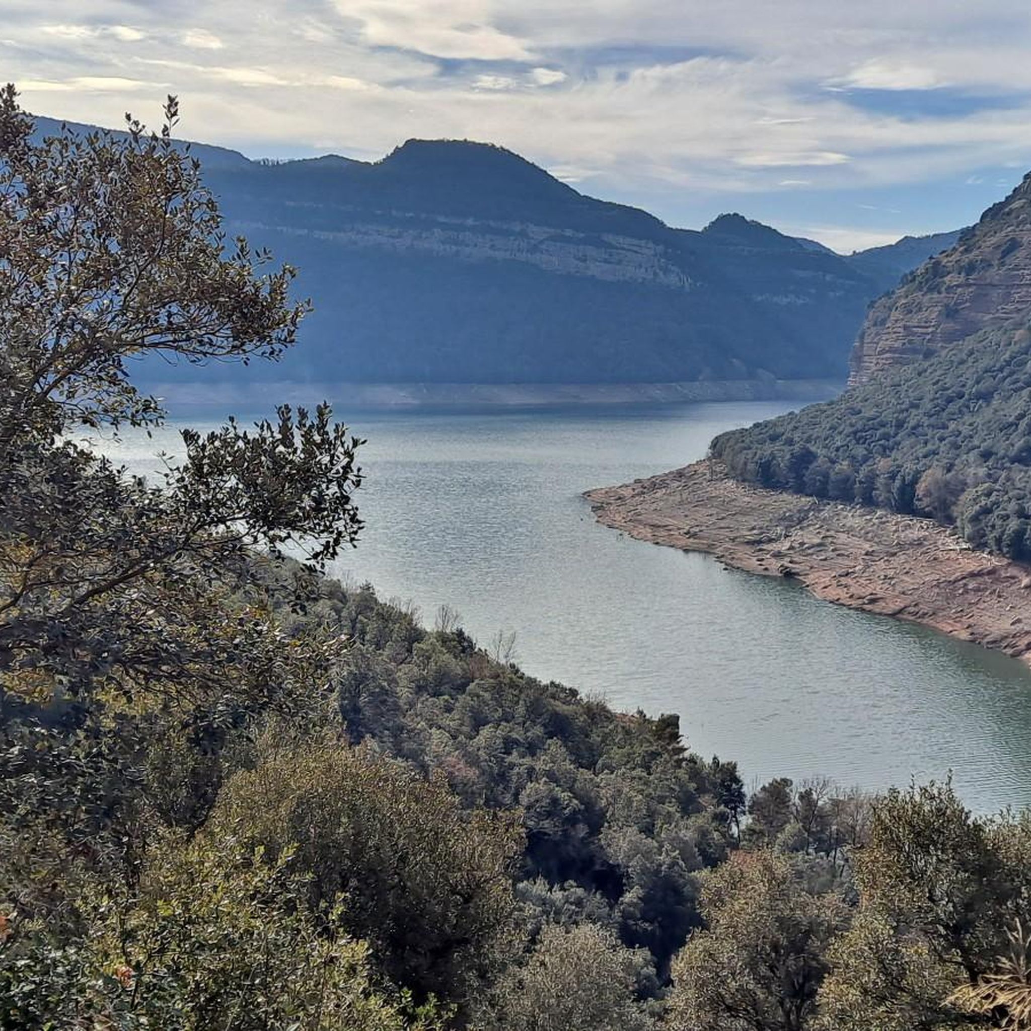
Gravel biking around Espai Natural de les Guilleries-Savassona offers a diverse landscape characterized by dense woodlands, rolling hills, and the presence of the Sau Reservoir. The region features a mix of unpaved roads and forest tracks, providing varied terrain for gravel cyclists. Elevations range from gentle ascents to more challenging climbs, with numerous viewpoints overlooking the natural surroundings. The area's geology includes rugged formations and river valleys, making it suitable for exploring on a gravel bike.
Best gravel bike trails…
Last updated: July 17, 2026
12
riders
Hard gravel ride. Very good fitness required. Mostly paved surfaces. Suitable for all skill levels.
3
riders
13.0km
01:13
310m
310m
Moderate gravel ride. Good fitness required. Mostly paved surfaces. Suitable for all skill levels.

Sign up for free
7
riders
54.7km
04:17
1,220m
1,220m
Hard gravel ride. Very good fitness required. Mostly paved surfaces. Suitable for all skill levels.
8
riders
28.0km
01:45
220m
220m
Moderate gravel ride. Good fitness required. Mostly paved surfaces. Suitable for all skill levels.
9
riders
51.2km
03:38
1,140m
1,140m
Hard gravel ride. Very good fitness required. Mostly paved surfaces. Suitable for all skill levels.
Get access to more routes and recommendations from other explorers.
Sign up for free
Already have an account?
Our route recommendations are based on thousands of hikes, rides, and runs completed by other people on komoot.
Start today with a free account
Your next adventure awaits.
Login or Signup
Popular around Espai Natural de les Guilleries-Savassona
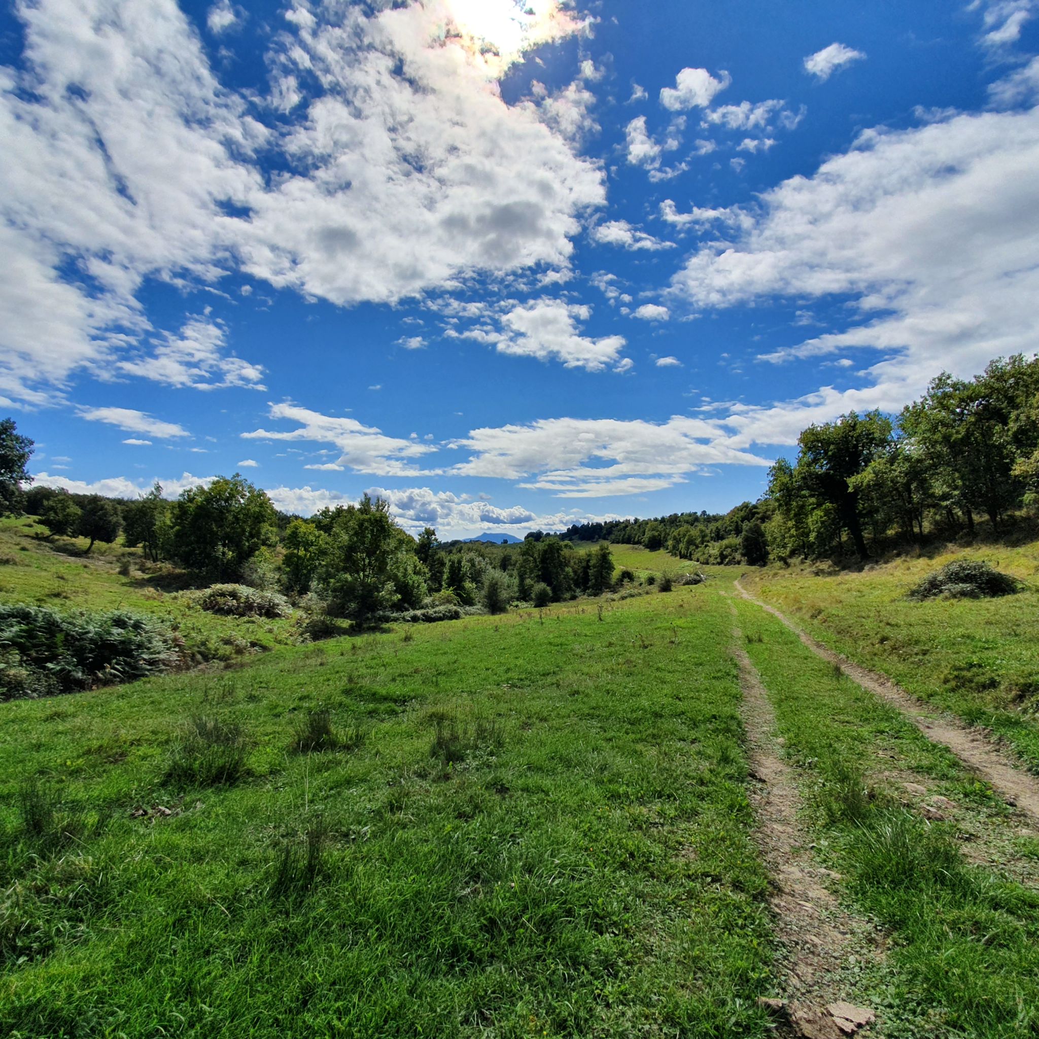
Hiking around Espai Natural de les Guilleries-Savassona
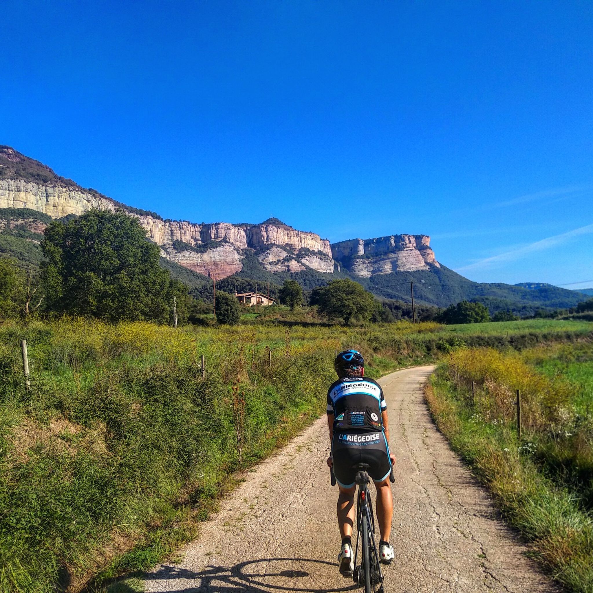
Road Cycling Routes around Espai Natural de les Guilleries-Savassona
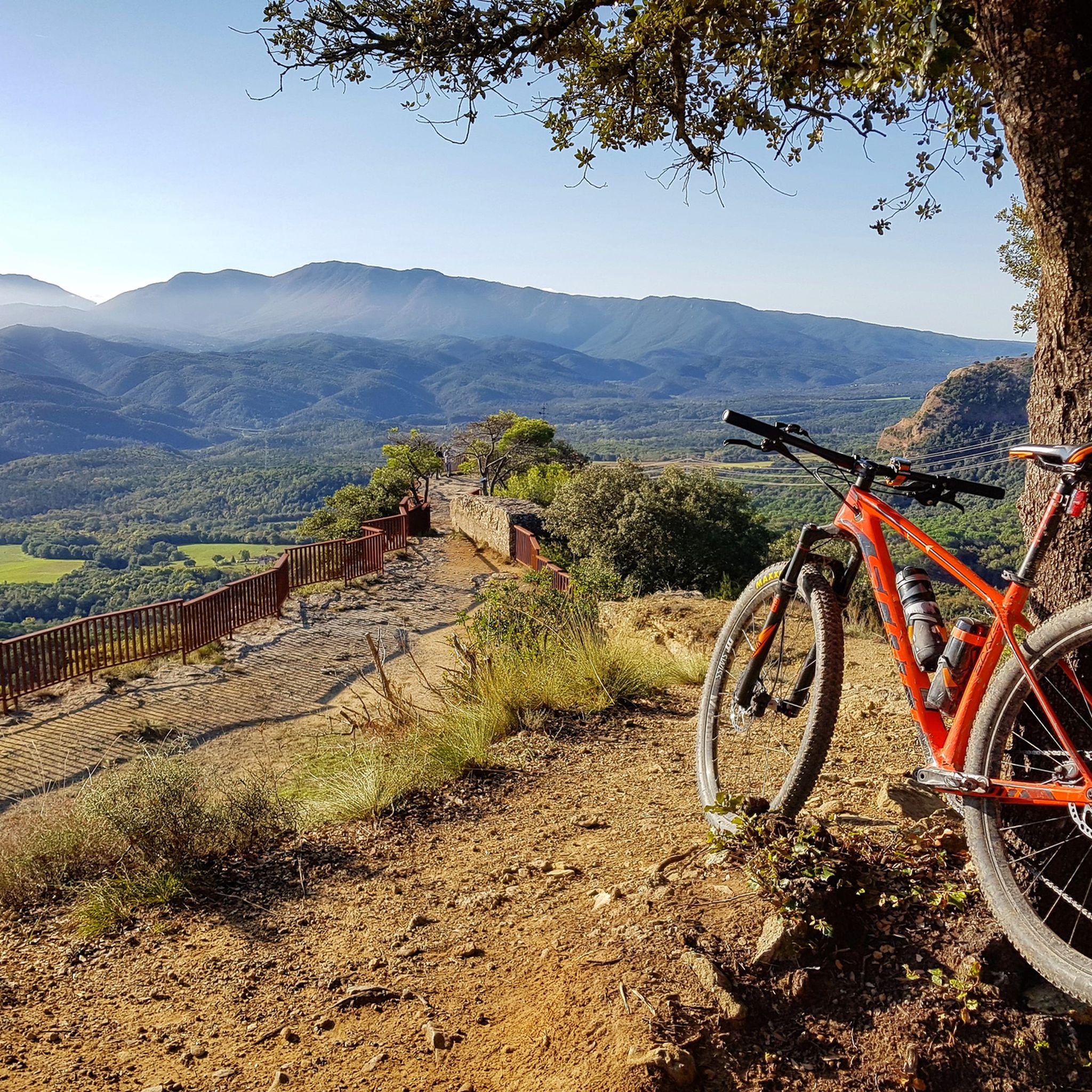
MTB Trails around Espai Natural de les Guilleries-Savassona
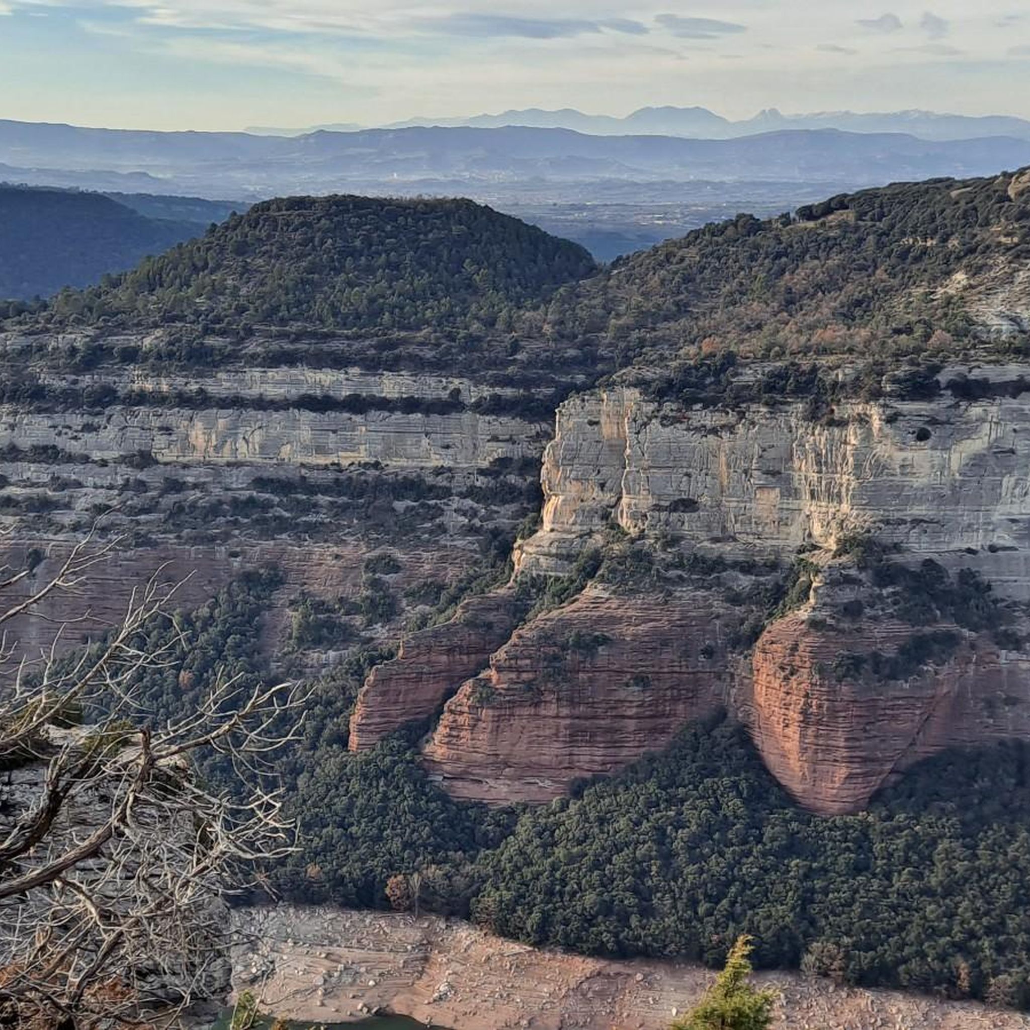
Cycling around Espai Natural de les Guilleries-Savassona
Running Trails around Espai Natural de les Guilleries-Savassona
Tips from the Community

Sau Dam Tip for Bikepackers When riding near the Pantà de Sau (Sau Reservoir), don’t miss stopping at the Sau Dam viewpoint. It’s a spectacular spot to catch your breath and take in the sweeping views of the turquoise reservoir framed by steep cliffs and lush forests. 🌊 If water levels are low, you might even spot the famous submerged bell tower of the old village of Sant Romà de Sau poking out of the water — a haunting and iconic sight that adds a unique story to your ride. 🛑 Keep in mind the area around the dam can be a bit steep and technical on gravel roads, so take it easy if you’re loaded up. 💡 Pro tip: Early morning or late afternoon light here is magical for photos and gives you cooler temperatures for climbing or descending.
1
0


This Magnificent park of the Seven Fountains in Sant Julià de Vilatorta is one of the town's greatest attractions. Ideal for walking with or without children 😃 In summer its large trees provide fantastic shade, it is also a multipurpose place, for local parties and concerts, it has a Bar Restaurant 🍗🍖
2
0
It is located practically below The C-25 eix transversal. In a cool, wooded area, there is a picnic table Although the Fountain is dry 😢
2
0
This Chiringuito Restaurant does not stand out for its prices..... But it is very well located..!!
2
0
Fantastic place to walk with children and at any time of the year, In this park of the 7 fountains...you have a picnic area 🧺 Bar...etc. And a fantastic Grove to walk in the Shade.
3
0

The town of Tavertet is a jewel of the Catalan pre-Pyrenees. A perfectly preserved town, with all its stone houses (or casiplones) perfectly maintained and decorated. From Tavertet, it is well worth visiting the ravines (cingles, in Catalan) of the Sau reservoir. Tavertet has several bars and restaurants where you can have a snack and enjoy the tranquility of a car-free town. No one is disappointed!
1
0
It is a very pleasant port on both sides since it is very bearable, always with ramps of around 5%. I like it better on the southern slope, the one that starts from The 2 slopes are very different, not only in length, but also in the type of landscape. The southern slope is 31.9km from Roda de Ter. It is used in the Terra de Remences march. It has 2 rest areas. It is an open climb, with mostly panoramic views. At first, a lot of views on the Plan de Vic. The northern slope, which starts from the Vall d'en Bas, is 11 km long and has hardly any views, almost always in the shadow of the vegetation and the gorge through which the road climbs. It has several horseshoe curves that give it the appearance of more of a mountain pass. I leave you the link of the altimetry published by @cyclingcols, the best on these topics --> http://www.cyclingcols.com/col/Condreu
0
0
Frequently Asked Questions
How many gravel bike trails are available in Espai Natural de les Guilleries-Savassona?
There are over 200 gravel bike routes in Espai Natural de les Guilleries-Savassona, offering a wide range of options for different skill levels and preferences. The komoot community has explored these varied terrains extensively.
Are there easy gravel bike routes suitable for beginners?
Yes, while many routes are moderate to difficult, there are options suitable for beginners. For instance, the Riera Spring – Romegats Pass loop from Sant Julià de Vilatorta is a moderate 7.8-mile (12.6 km) trail that offers a good introduction to the region's gravel paths.
What are some challenging gravel bike routes in the area?
For experienced riders seeking a challenge, the Santuario de Puig-agut – Riera de Sorreigs Reservoir loop from Sant Julià de Vilatorta is a difficult 57.9-mile (93.3 km) path exploring varied terrain. Another demanding option is the View of Sau Reservoir – Sau Dam loop from Sant Julià de Vilatorta, covering 53.9 miles (86.8 km) with significant elevation changes.
When is the best time of year for gravel biking in Espai Natural de les Guilleries-Savassona?
The region is generally pleasant for gravel biking during spring and autumn, when temperatures are milder. Summer can be warm, but the dense woodlands offer shade. Winter riding is possible, but conditions can vary, so checking local weather forecasts is advisable.
What kind of scenery can I expect along the gravel bike trails?
You'll encounter diverse landscapes, including dense woodlands, rolling hills, and stunning views of the Sau Reservoir. Many routes feature unpaved roads and forest tracks, with geological formations and river valleys adding to the scenic variety. Look out for viewpoints overlooking the natural surroundings.
Are there any circular gravel bike routes?
Yes, many of the gravel bike routes in Espai Natural de les Guilleries-Savassona are designed as loops. Examples include the Romegats Pass – Salto de la Miñona viewpoint loop from Sant Julià de Vilatorta and The Found Spring – El Pont d'en Bruguer loop from Folgueroles, offering convenient starting and ending points.
What are some interesting landmarks or attractions near the gravel bike trails?
The region is rich in historical and natural sights. You can visit the Sant Feliuet de Savassona Hermitage, explore ancient rock engravings like the Pedra de les Bruixes, or see the iconic Church of Sant Romà de Sau (Submerged Bell Tower) when water levels are low in the Sau Reservoir.
Where can I find scenic viewpoints along the gravel routes?
Many routes offer panoramic vistas. The Romegats Pass – Salto de la Miñona viewpoint loop specifically highlights a viewpoint. Additionally, the View of the Cingles de Tavertet from Sau Reservoir and the View of the Sau Reservoir and the submerged church from the Pla del Castell viewpoint are popular spots for breathtaking views.
What do other gravel bikers enjoy most about Espai Natural de les Guilleries-Savassona?
The area is highly rated by the komoot community, with an average score of 4.5 stars from over 70 reviews. Reviewers often praise the diverse landscape, the mix of unpaved roads and forest tracks, and the stunning reservoir views that make for a rewarding gravel biking experience.
Are there options for shorter gravel bike rides?
Yes, if you're looking for a shorter ride, the Riera Spring – Romegats Pass loop from Sant Julià de Vilatorta is a moderate 7.8-mile (12.6 km) trail that can typically be completed in about 1 hour 12 minutes, offering a quicker way to experience the region.
What are the typical elevations encountered on these gravel trails?
The region features varied elevations, from gentle ascents to more challenging climbs. For example, the Romegats Pass – Salto de la Miñona viewpoint loop involves an elevation gain of approximately 687 meters, while longer routes like the Santuario de Puig-agut – Riera de Sorreigs Reservoir loop can have over 1300 meters of ascent.
Most popular routes around Espai Natural de les Guilleries-Savassona
Most popular attractions around Espai Natural de les Guilleries-Savassona

Get inspired with the komoot mobile app


Explore more
Browse the best Gravel rides in other regions.
