Moorrinne von Klein Salitz bis zum Neuenkirchener Lake
Moorrinne von Klein Salitz bis zum Neuenkirchener Lake
The best gravel rides around Moorrinne von Klein Salitz bis zum Neuenkirchener Lake
4.3
(4)
17
riders
5
rides
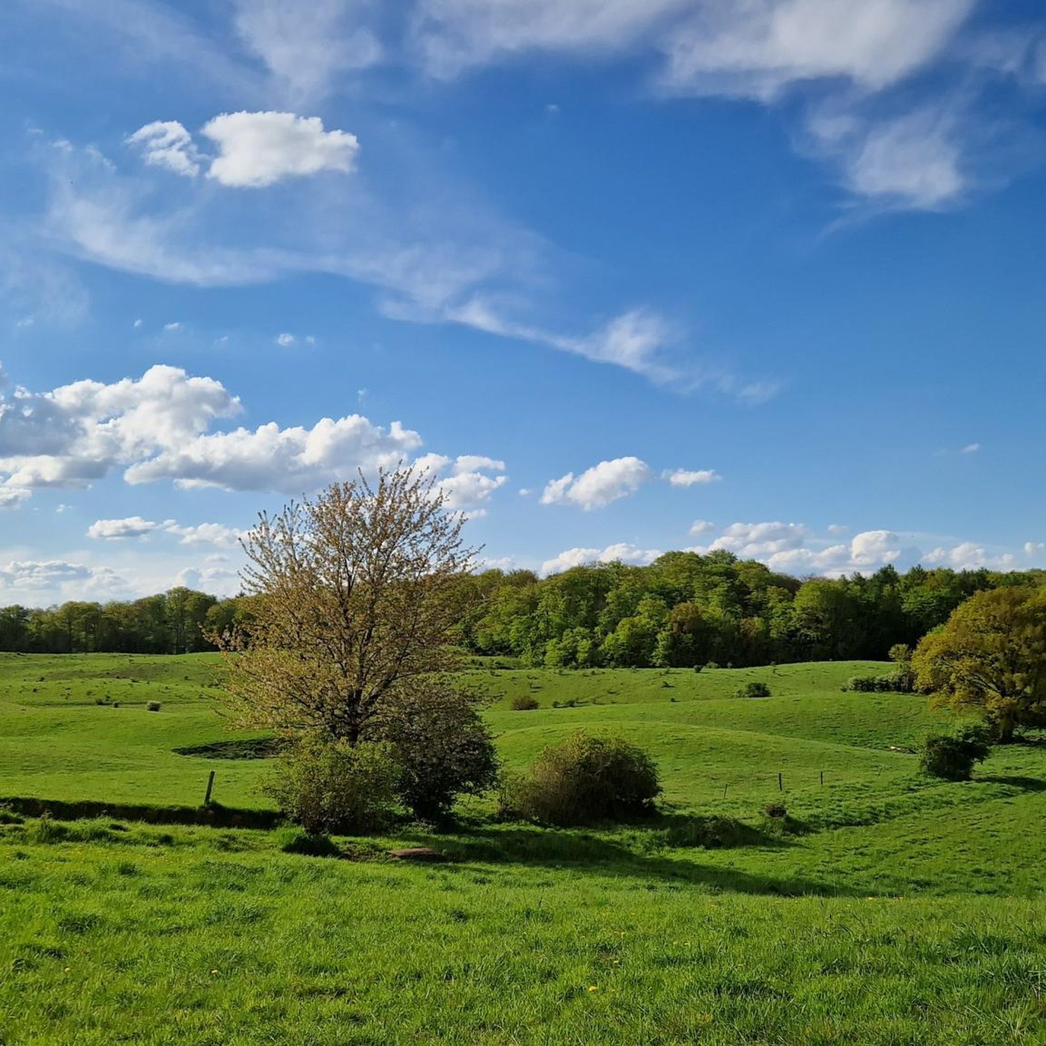
Gravel biking around Moorrinne von Klein Salitz bis zum Neuenkirchener Lake offers routes through a landscape characterized by numerous lakes, gentle hills, and forested areas. The region provides a mix of terrain suitable for gravel bikes, including unpaved paths and quiet country roads. Riders can expect varied elevation changes, with most climbs being gradual.
Best gravel bike trails around Moorrinne von Klein Salitz bis zum Neuenkirchener Lake
- The most popular gravel bike trail is View of Zarrentiner See – Strangendamm…
Last updated: July 16, 2026
5.0
(1)
5
riders
21.7km
01:12
80m
80m
Easy gravel ride. Great for any fitness level. Mostly paved surfaces. Suitable for all skill levels.
2
riders
Moderate gravel ride. Good fitness required. Mostly paved surfaces. Suitable for all skill levels.

Sign up for free
2
riders
52.0km
02:52
240m
240m
Moderate gravel ride. Good fitness required. Mostly paved surfaces. Suitable for all skill levels.
4.0
(1)
4
riders
37.0km
02:11
190m
190m
Moderate gravel ride. Good fitness required. Mostly paved surfaces. Suitable for all skill levels.
38.1km
02:12
170m
180m
Moderate gravel ride. Good fitness required. Mostly paved surfaces. Suitable for all skill levels.
Our route recommendations are based on thousands of hikes, rides, and runs completed by other people on komoot.
Start today with a free account
Your next adventure awaits.
Login or Signup
Popular around Moorrinne von Klein Salitz bis zum Neuenkirchener Lake
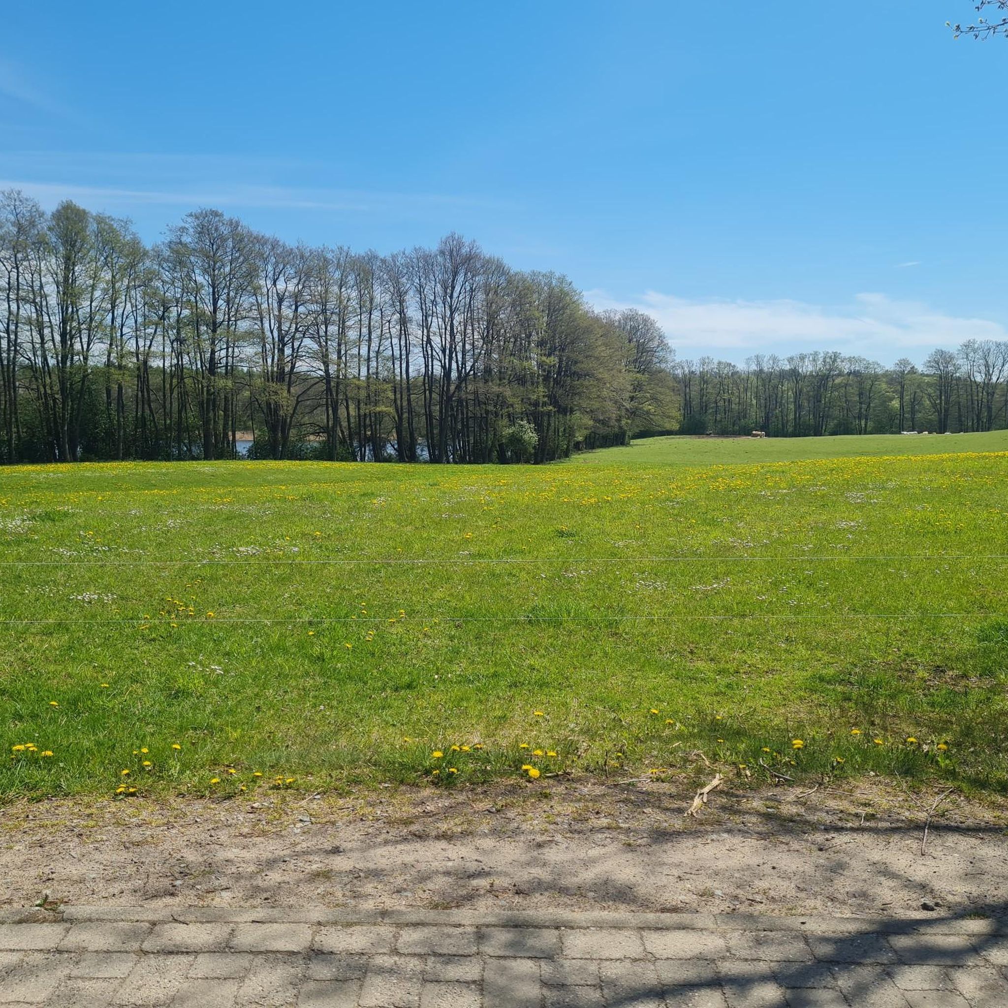
Hiking around Moorrinne von Klein Salitz bis zum Neuenkirchener Lake
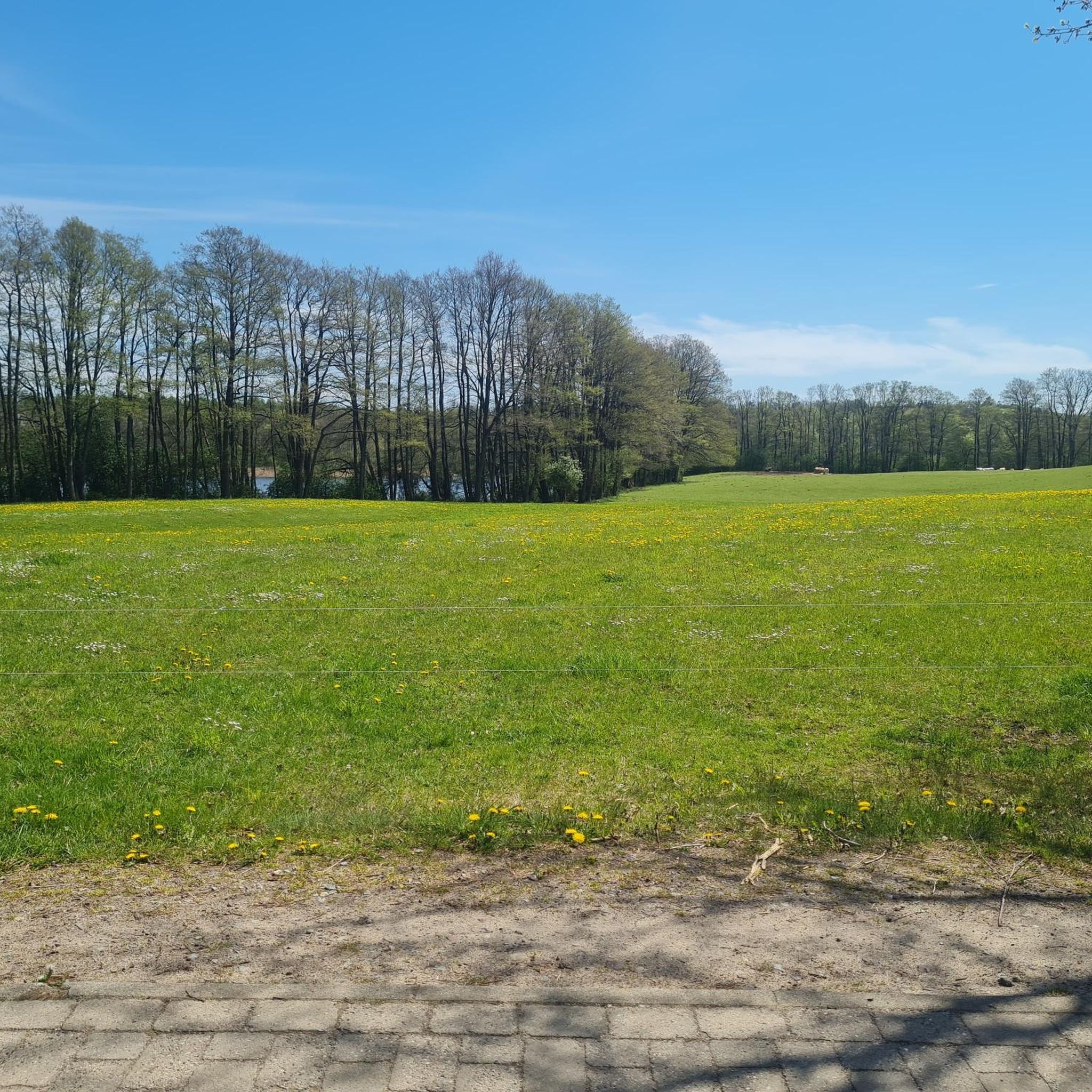
Cycling around Moorrinne von Klein Salitz bis zum Neuenkirchener Lake
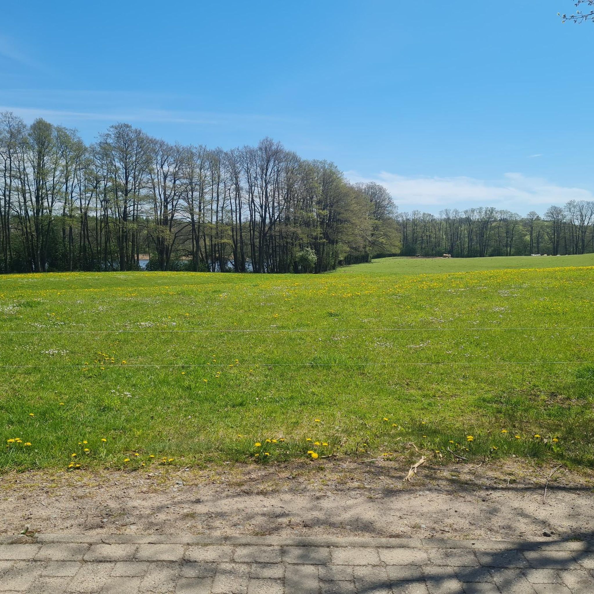
MTB Trails around Moorrinne von Klein Salitz bis zum Neuenkirchener Lake
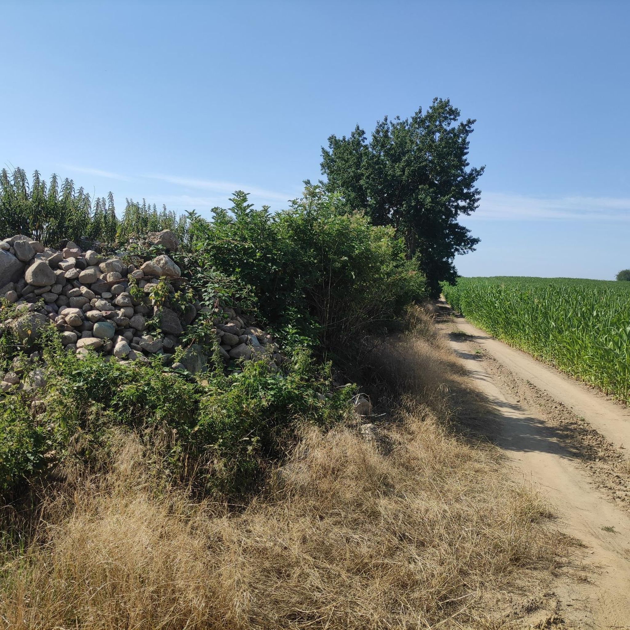
Road Cycling Routes around Moorrinne von Klein Salitz bis zum Neuenkirchener Lake
Running Trails around Moorrinne von Klein Salitz bis zum Neuenkirchener Lake
Tips from the Community

The long, rolling hills are not to be underestimated when riding an e-bike, but they are beautiful nonetheless.
0
0
On the bike, I had no way to transport purchased bottles. By car, I would have stopped.
0
0

A railway bridge used to run here, remnants of which can still be seen today...
1
0
A pretty wooden bridge over the small stream... the imposing tree right next to the bridge is impressive.
2
0


Very easy to drive on and very beautiful
0
0

The Schaalsee is nestled within the biosphere reserve of the same name and, at over 70 meters deep, is considered Northern Germany's deepest clearwater lake. Those who wish to swim here should only do so at designated areas—for example, in Dargow, Lassahn, Seedorf, or at the Zarrentin lido. The water quality is excellent, perfect for a refreshing dip on the go. The protected natural environment surrounding the lake is rich in species and tranquil—ideal for those who appreciate peace, clean air, and clear water. The beer and coffee garden is a pleasant place to relax.
0
0

A beautiful inn for a relaxing break with food and drink. The following text from the website speaks for itself and requires no further explanation: Dear Guests, In 1990, we repurchased our parents' house, moved from Zarrentin to Neuenkirchen, and converted the house back into a guesthouse and inn between 1991 and 1992. We have been welcoming guests under our roof for over 200 years. On August 26, 2013, the house celebrated its 250th anniversary. We consistently offer regional cuisine based on regional products. Many of our dishes come from our own, organically managed vegetable and herb garden. All dishes are freshly prepared; please be aware of the resulting waiting times in advance. The cake is, of course, also homemade. From mid-October, we serve geese and ducks. Wild boar, venison, lamb, or rabbit roasts, please pre-order. Curious? Please check out our gallery: https://das-gasthaus-zum-see.de/ueber-uns
3
0
Frequently Asked Questions
What kind of terrain can I expect on gravel bike trails around Moorrinne von Klein Salitz bis zum Neuenkirchener Lake?
The region offers a diverse mix of terrain, including unpaved paths, quiet country roads, and trails through forested areas. You'll encounter gentle hills and varied elevation changes, with most climbs being gradual and suitable for gravel biking.
Are there any easy or beginner-friendly gravel bike routes in the area?
Yes, there is at least one easy route perfect for beginners. Consider the View of Zarrentiner See – Strangendamm Bridge loop from Schaalsee, which is 21.7 km long and takes about 1 hour 28 minutes to complete, offering beautiful views of Zarrentiner See.
Are there any longer or more challenging gravel bike routes for experienced riders?
While there are no routes classified as 'difficult' in this guide, several moderate routes offer a good challenge. The longest route is the Schmalsee Northeast Shore – Schmalsee loop from Zarrentin am Schaalsee, spanning 52.5 km and typically taking around 3 hours 35 minutes to complete. This route leads through scenic lakeside areas.
What are some scenic viewpoints or attractions I can see along the gravel bike trails?
The area is rich in natural beauty and interesting landmarks. You can find highlights such as the Kranichkieker Observation Platform, the historic Stone Bridge at Neuenkirchener See, and the Old Stone Bridge in the peat channel from Klein Salitz to Lake Neuenkirchen. The Moorrinne von Klein Salitz bis zum Neuenkirchener See Nature Reserve Entrance is also a notable spot.
Are there any circular gravel bike routes available?
Yes, all the routes featured in this guide are loops, allowing you to start and end at the same point. For example, the St. Abundus Church Lassahn – Neuenkirchen Village Church loop from Woez Dorfausgang is a moderate 38.5 km circular path that passes by local churches.
What is the best season for gravel biking in Moorrinne von Klein Salitz bis zum Neuenkirchener Lake?
The region is generally enjoyable for gravel biking from spring through autumn, when the weather is mild and the natural landscape is vibrant. While winter riding is possible, be prepared for colder temperatures and potentially icy or muddy conditions on unpaved sections.
Are the gravel bike routes suitable for families with children?
For families, the easier routes are generally more suitable. The View of Zarrentiner See – Strangendamm Bridge loop from Schaalsee is an excellent choice due to its manageable distance and easy difficulty, offering pleasant views without significant climbs.
How many gravel bike trails are covered in this guide?
This guide features 5 distinct gravel bike trails, ranging from easy to moderate difficulty, providing a variety of options for exploring the region.
What do other gravel bikers say about the trails in this area?
The routes in Moorrinne von Klein Salitz bis zum Neuenkirchener Lake are highly rated by the komoot community, with an average score of 4.0 stars from 3 reviews. Riders often appreciate the varied terrain, the network of trails connecting lakes and forests, and the overall scenic beauty.
Is there public transport access to the gravel biking areas?
While specific public transport connections to every trailhead can vary, the region is generally accessible. It's advisable to check local bus or train schedules for connections to towns like Zarrentin am Schaalsee or Seedorf, which are common starting points for routes like the Schaalsee bathing area in Seedorf – View of Schaalsee loop from Seedorf.
Are there any routes that offer views of Lake Schaalsee?
Yes, several routes provide stunning views of Lake Schaalsee. The Schmalsee – View of Lake Schaalsee loop from Seedorf is a moderate 37.9 km route specifically designed to showcase the beauty of the lake.
Where can I find parking near the gravel bike trails?
Parking is typically available in or near the villages and towns that serve as starting points for these routes, such as Zarrentin am Schaalsee, Seedorf, or Woez Dorfausgang. Look for designated parking areas or roadside parking where permitted.
Most popular routes around Moorrinne von Klein Salitz bis zum Neuenkirchener Lake
Most popular attractions around Moorrinne von Klein Salitz bis zum Neuenkirchener Lake

Get inspired with the komoot mobile app


Explore more
Browse the best Gravel rides in other regions.
