Krickenbecker Laken und Kleiner De Wittsee
Krickenbecker Laken und Kleiner De Wittsee
The best gravel rides around Krickenbecker Laken und Kleiner De Wittsee
4.6
(126)
1,366
riders
112
rides
Gravel biking around Krickenbecker Laken und Kleiner De Wittsee offers a diverse landscape characterized by a unique lake system, formed from former peat extraction areas. The region features the Krickenbecker Seen and Kleiner De Wittsee, with the Nette and Renne rivers flowing through, creating extensive reed belts and varied terrain. Paths range from predominantly paved to loose surfaces, traversing marsh forests and humid grasslands. This environment provides a mix of experiences for gravel bikers.
Best gravel bike trails around Krickenbecker…
Last updated: July 14, 2026
4.7
(3)
10
riders
Easy gravel ride. Great for any fitness level. Mostly paved surfaces. Suitable for all skill levels.
18
riders
55.3km
03:04
140m
140m
Moderate gravel ride. Good fitness required. Mostly paved surfaces. Suitable for all skill levels.

Sign up for free
3.0
(3)
6
riders
30.7km
01:51
130m
130m
Easy gravel ride. Great for any fitness level. Mostly paved surfaces. Suitable for all skill levels.
5.0
(3)
17
riders
Moderate gravel ride. Good fitness required. Mostly paved surfaces. Suitable for all skill levels.
18
riders
Hard gravel ride. Good fitness required. You may need to push your bike for some segments of this route.
Get access to more routes and recommendations from other explorers.
Sign up for free
Already have an account?
Our route recommendations are based on thousands of hikes, rides, and runs completed by other people on komoot.
Start today with a free account
Your next adventure awaits.
Login or Signup
Popular around Krickenbecker Laken und Kleiner De Wittsee
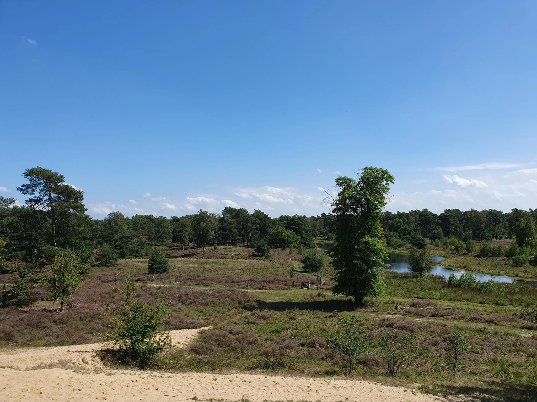
The Maas-Niederrhein Trail - Cross-border hiking in 19 stages
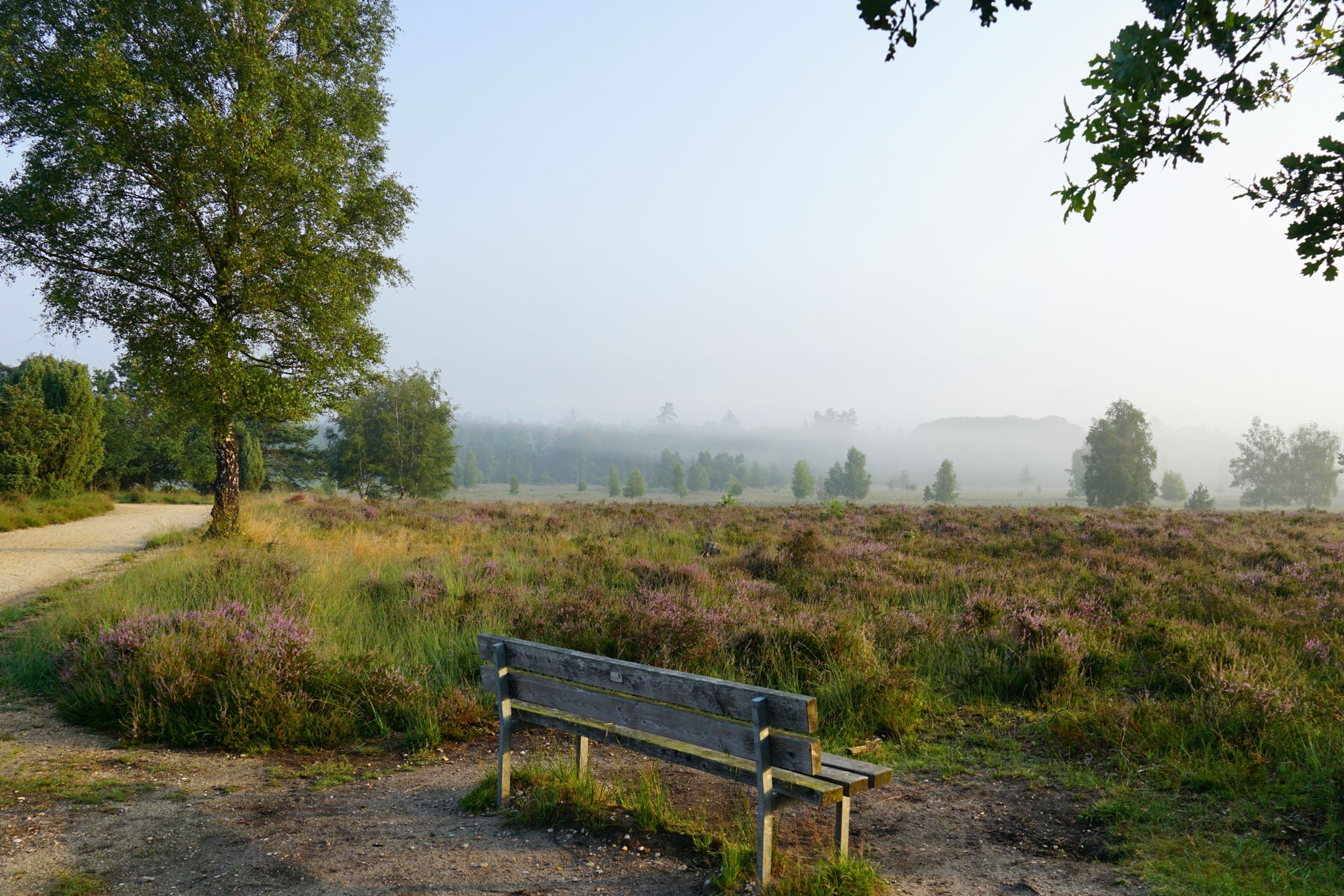
Leichte.Wander.Welt. - 10 barrier-free paths
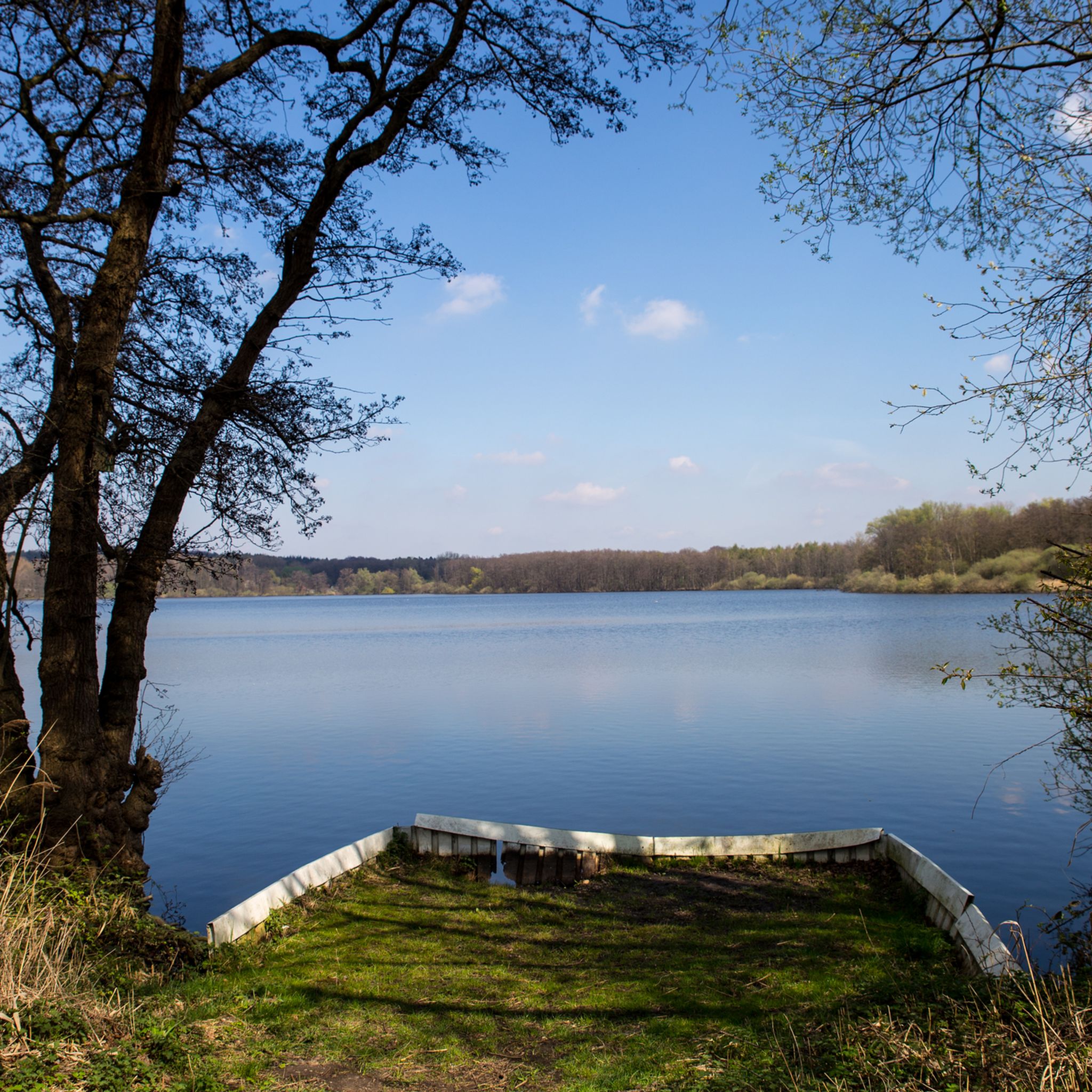
Hiking around Krickenbecker Laken und Kleiner De Wittsee
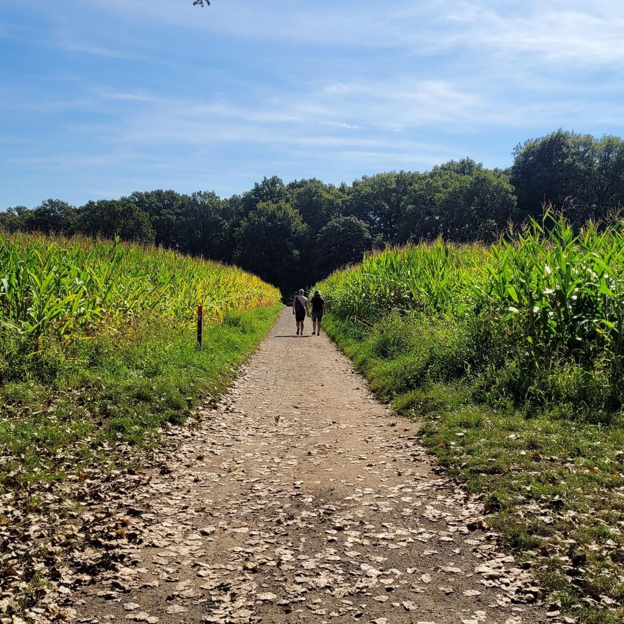
Cycling around Krickenbecker Laken und Kleiner De Wittsee
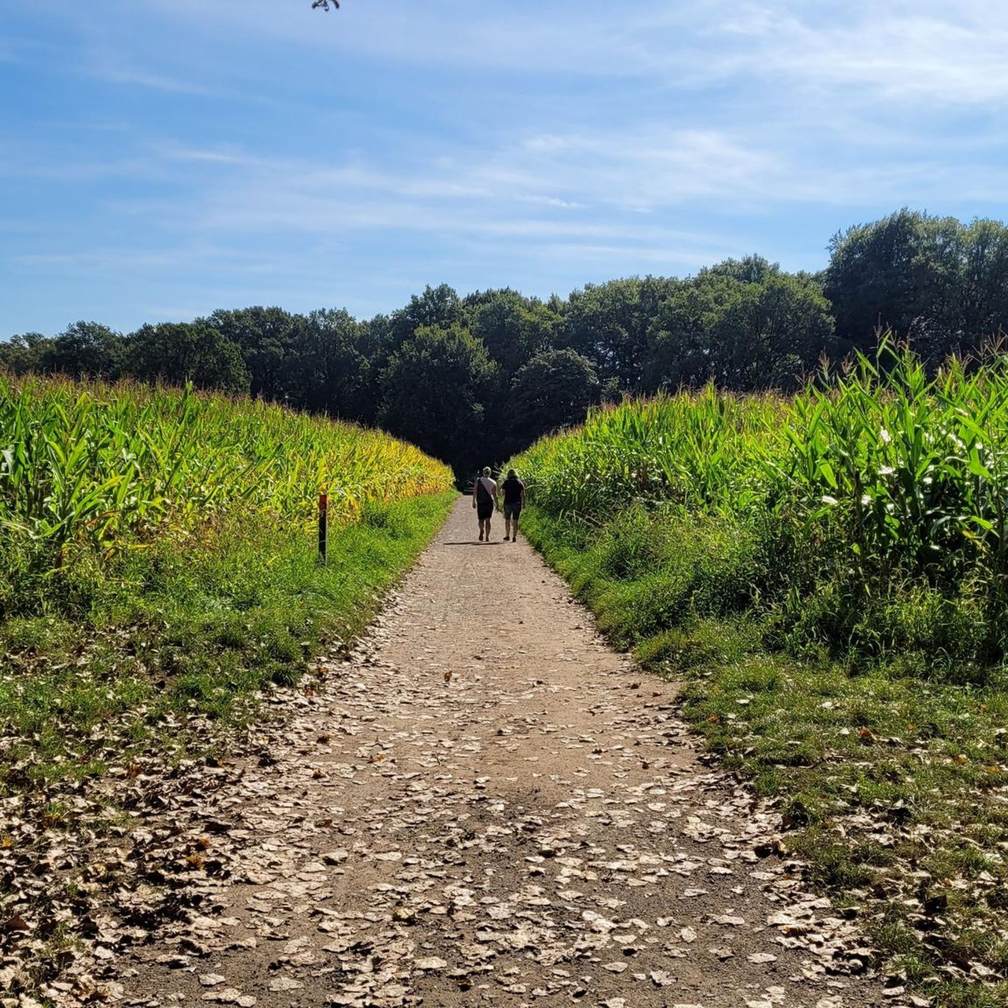
Road Cycling Routes around Krickenbecker Laken und Kleiner De Wittsee
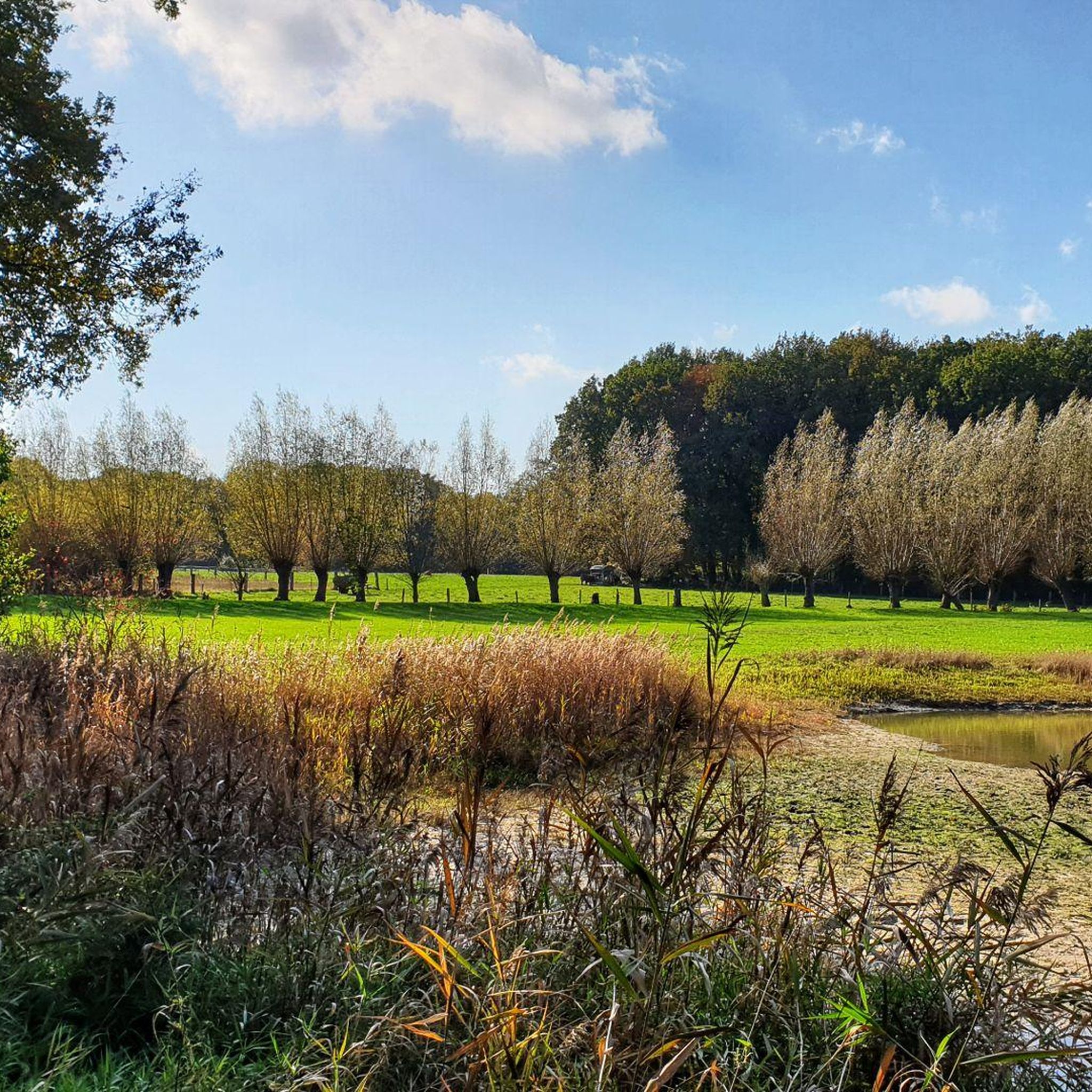
Running Trails around Krickenbecker Laken und Kleiner De Wittsee
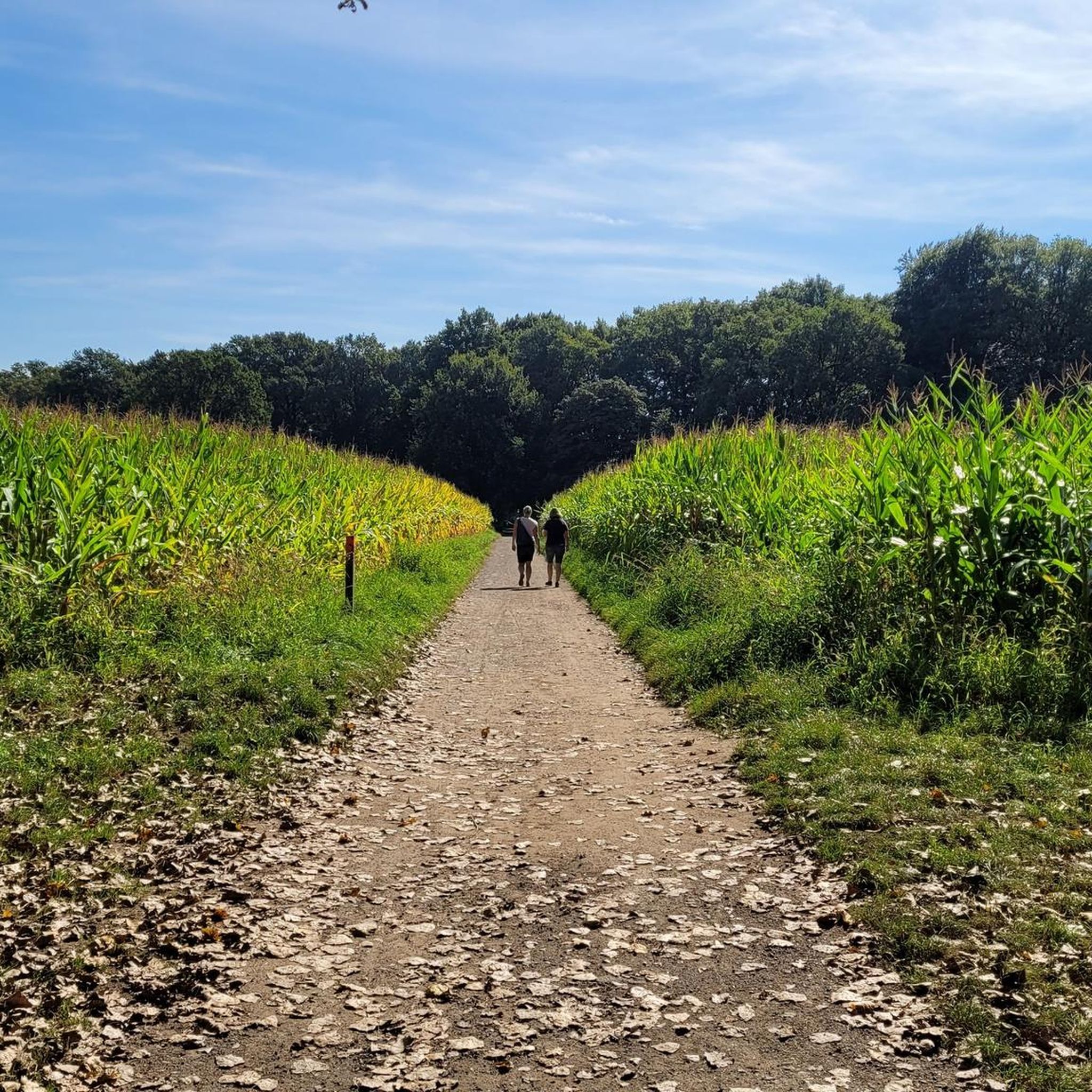
MTB Trails around Krickenbecker Laken und Kleiner De Wittsee
Other adventures around Krickenbecker Laken und Kleiner De Wittsee


Tips from the Community

It is a very beautiful route. As there are also thorny bushes on the edge of the path from time to time and the trails are probably not ridden very often, I would recommend a long-sleeved shirt and long trousers.
0
0

I recommend you again and again ☺️
1
1

The Schwalm-Nette Nature Park is a vast nature reserve of approximately 435 km² on the border between Germany (North Rhine-Westphalia) and the Netherlands. This park is part of the larger Maas-Swalm-Nette Border Park, a cross-border nature reserve totaling approximately 870 km² that brings together German and Dutch natural landscapes. What makes the nature park unique is that the landscape is strongly defined by water: rivers, streams, lakes, marshes, and forests form a continuous network of wetlands. In this water-rich landscape, large-scale flooded forests and swamp forests develop, forming their own ecosystem. 🌧️ What do we mean by flooded forest? A flooded forest is a forest or natural zone where the soil is persistently moist or wetter than normal due to rivers and streams overflowing their banks or because groundwater is close to the surface. Water periodically pools in the soil and sometimes in above-ground puddles around tree roots and reed, and entrances and paths can be temporarily flooded, especially after rainfall or during periods of high water. In the case of the Schwalm-Nette Nature Park, such flooded wet forest areas develop primarily along the Schwalm-Nette rivers and their associated tributaries, marshes, and peatlands. Water lingers longer here because the soil is sandy and shallow, and the water can drain only slowly. 🌲 How do these wet forests develop in this park? The landscape here was formed in the last tens of thousands of years after the Ice Ages. Rivers and groundwater flows formed the natural lowlands and valleys between higher-lying forests and sandy terraces. The interaction of rainfall, high groundwater, and flooded stream valleys created swamp forests and marshland, which have become an important part of the natural environment. These flooded forests are not temporary artificial puddles but part of the original ecosystem. The soil is poor and wet, allowing typical moisture-loving trees and shrubs such as alders and willows to thrive. Where water stagnates for longer periods, forests can transform into marshes with reed beds and open ponds, characteristic wetland landscapes rich in biodiversity. 🐦 Biodiversity and life in the wet forest Because of this constant wetness, the flooded forest area provides a home to unique animals and plants. Amphibians such as frogs and salamanders thrive in the wet environment. Birds like the kingfisher and rare marsh birds find food and nesting sites here. Insects, including dragonflies and water beetles, thrive around the water and the forest edges. Plants such as marsh plants, water lilies, and moist grasslands intersect along the edge zones between the forest and open water. These forests and wetlands together form a living ecosystem that is important for nature conservation and biodiversity in the region. They contribute to the natural values for which the park is internationally recognized. 🚶 Flooding and recreation — what does it look like? In areas like the Mühlbach Marshes and other wet forest areas, paths and trails through the forest can be wet or slightly flooded after rainfall or in spring. This means that hiking trails temporarily contain puddles or wet areas, and you sometimes walk through reed forests and marshy areas where boardwalks or wooden paths have been constructed. Due to the fluctuating water levels, the landscape varies seasonally, and in spring, more puddles and water areas are often open than in late summer. Thus, a flooded forest area sometimes feels more like a wet garden of paths, water, and vegetation than a dry pine forest—a landscape in which water and forest are inextricably linked. 🌍 Importance for Conservation and Landscape The wet forest areas within the park are not only beautiful and mysterious to visit but also of great ecological importance, serving as a lifeline and breeding ground for specialist flora and fauna. They act as natural buffers for water, mitigating flooding further afield. They are part of the region's green infrastructure, with paths and routes that introduce hikers to diverse landscapes, from dry forest to wet marsh. 🌦️ Interaction with the water landscape The flooded forest is not isolated from major waterways like the Schwalm and the Nette. Because these rivers have a low gradient, water can easily infiltrate the adjacent forest landscape. As a result, in this park, you often experience forest transitions into marsh, after which river, forest, and wetlands merge into a dynamic and vibrant landscape unlike any other park.
1
0

There are many puddles, ponds and wetlands here
1
0

great area we recommend 👊 will come again no question
1
0
great area we recommend 👊 will come again no question
0
0

A nice spot for a short break overlooking the lake.
6
0
Frequently Asked Questions
What kind of terrain can I expect on gravel bike trails around Krickenbecker Laken und Kleiner De Wittsee?
The region offers a diverse mix of terrain, from predominantly paved paths to those with loose surfaces, suitable for gravel biking. You'll ride through marsh forests, humid grasslands, and along the unique lake landscape formed by former peat extraction areas. This variety ensures an engaging experience for different skill levels.
How many gravel bike routes are available in the Krickenbecker Laken und Kleiner De Wittsee area?
There are over 170 gravel bike routes to explore around Krickenbecker Laken und Kleiner De Wittsee. This includes a wide range of options, with approximately 24 easy routes, nearly 100 moderate routes, and over 50 more challenging trails.
Are there any easy gravel bike routes suitable for beginners or families?
Yes, the area offers several easy routes perfect for beginners or families. One popular option is the Zwart Water Lake – Glider Airfield (Dutch Side) loop from Krickenbecker Seen und Kleiner De Wittsee, which is 22.7 km long and explores the lake surroundings with varied views.
What are some notable natural features or viewpoints to look out for on the trails?
The region is rich in natural beauty. You can visit the Krickenbecker Lakes and Little De Wittsee themselves, or enjoy panoramic views from the Schroliksee Viewing Platform, the Taubenberg Observation Tower, or the Rohrdommel Observation Tower and Wetland View. The extensive reed belts along the lakes are also crucial habitats for numerous bird species.
Can I find circular gravel bike routes in this region?
Absolutely. Many routes in the Krickenbecker Laken und Kleiner De Wittsee area are designed as circular loops, allowing you to start and end at the same point. For example, the Through the Happelter Heath – Cycle Path Along the Schwalm loop from Breyell is a moderate 48.7 km circular path that winds through heathland and along the Schwalm river.
What do other gravel bikers say about the routes in Krickenbecker Laken und Kleiner De Wittsee?
The routes in Krickenbecker Laken und Kleiner De Wittsee are highly rated by the komoot community, with an average score of 4.6 stars from over 180 reviews. Many praise the unique lake landscape, the varied terrain, and the opportunities for wildlife observation.
Are there any longer or more challenging gravel bike routes for experienced riders?
Yes, experienced riders will find more challenging options. The Cycle Path Along the Schwalm – De Meinweg National Park loop from Kaldenkirchen is a difficult 92.8 km route, offering a significant challenge with varied landscapes.
Where can I learn more about the local nature and wildlife while biking?
You can visit the Krickenbecker Lakes Information Center, which provides insights into the surrounding nature and wildlife, often featuring exhibitions on local animals like beavers. It's a great stop to enhance your understanding of the protected area.
Are there any routes that pass through forests or offer a more secluded experience?
Yes, the region features extensive marsh forests and alder carr forests, providing a natural and serene backdrop. The Winding trail in Brachter Forest – The Grauwe Beer Windmill loop from Kaldenkirchen is a 47.6 km trail that leads directly through the tranquil Brachter Forest, offering a more secluded experience.
What is the best time of year for gravel biking in Krickenbecker Laken und Kleiner De Wittsee?
The diverse landscape and well-maintained paths make the Krickenbecker Laken und Kleiner De Wittsee area enjoyable for gravel biking throughout much of the year. Spring and autumn offer pleasant temperatures and beautiful scenery, while summer provides longer daylight hours. The region is also a significant wintering area for many water birds, offering unique wildlife viewing opportunities during colder months.
Are there historical or cultural points of interest along the gravel routes?
Beyond its natural beauty, the area also boasts cultural-historical interest. You might encounter remnants of the Noordervaart canal from Napoleon's time, and Schloss Krickenbeck is another attraction that can be spotted during a tour, adding a historical dimension to your ride.
Is parking available for cyclists bringing their bikes to the Krickenbecker Laken und Kleiner De Wittsee area?
Yes, parking is generally available for cars in the vicinity of the Krickenbecker Seen, making it convenient for cyclists to access the trails. The area also has good connections for cyclists arriving by other means.
Most popular routes around Krickenbecker Laken und Kleiner De Wittsee
Most popular attractions around Krickenbecker Laken und Kleiner De Wittsee

Get inspired with the komoot mobile app


Explore more
Browse the best Gravel rides in other regions.
