The best gravel rides around NSG Rhumeaue/ Ellerniederung/ Gillersheimer Bachtal
4.6
(87)
437
riders
97
rides
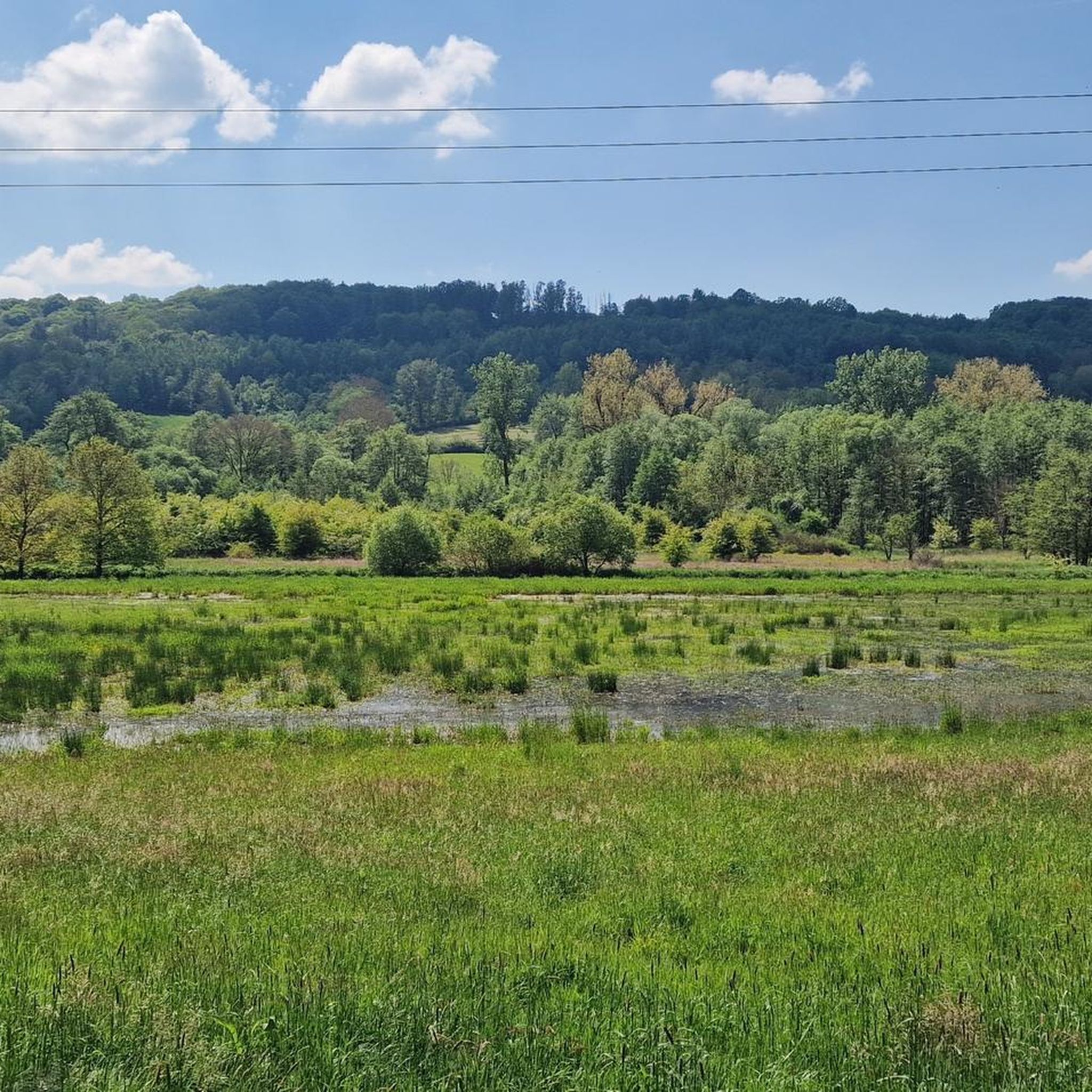
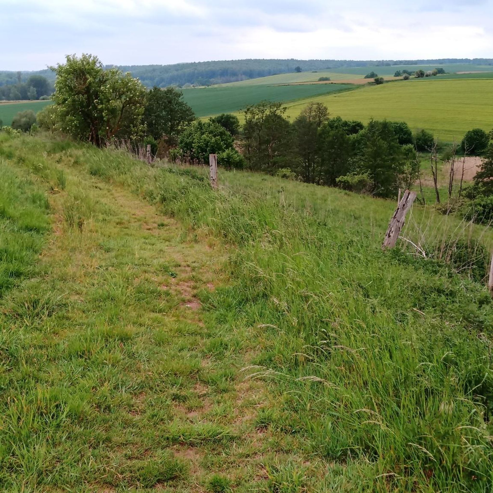
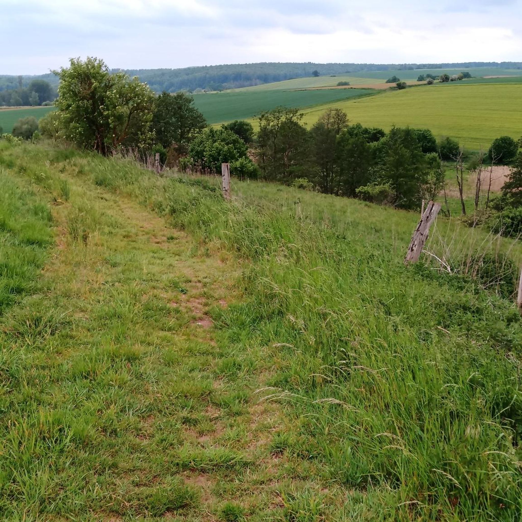
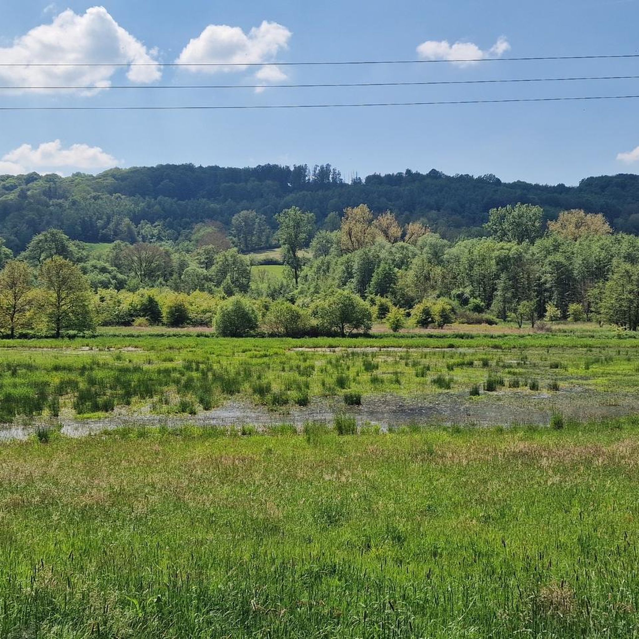
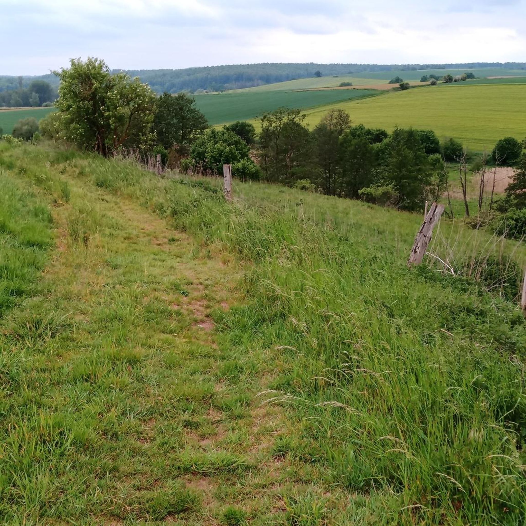
Gravel biking around NSG Rhumeaue/ Ellerniederung/ Gillersheimer Bachtal offers routes through a natural reserve characterized by its flowing water systems, including the Rhume, Eller, and Gillersheimer Bach rivers. The landscape features wide floodplains shaped by annual natural floods, diverse grasslands, and the significant Rhume Spring. These areas provide varied terrain suitable for gravel bike trails, moving through ecosystems such as reed beds, sedge meadows, and small forests.
Best gravel bike trails around NSG Rhumeaue/ Ellerniederung/ Gillersheimer Bachtal
- The most popular…
Last updated: July 16, 2026
4.5
(4)
10
riders
35.2km
02:06
300m
300m
Moderate gravel ride. Good fitness required. Mostly paved surfaces. Suitable for all skill levels.
4.9
(8)
15
riders
47.5km
02:45
410m
410m
Moderate gravel ride. Good fitness required. Mostly paved surfaces. Suitable for all skill levels.

Sign up for free
3
riders
88.8km
06:20
1,270m
1,270m
Hard gravel ride. Very good fitness required. Mostly paved surfaces. Suitable for all skill levels.
4.6
(5)
19
riders
42.3km
02:30
360m
360m
Moderate gravel ride. Good fitness required. Mostly paved surfaces. Suitable for all skill levels.
14
riders
Easy gravel ride. Great for any fitness level. Mostly paved surfaces. Suitable for all skill levels.
Get access to more routes and recommendations from other explorers.
Sign up for free
Already have an account?
Our route recommendations are based on thousands of hikes, rides, and runs completed by other people on komoot.
Start today with a free account
Your next adventure awaits.
Login or Signup
Popular around NSG Rhumeaue/ Ellerniederung/ Gillersheimer Bachtal
Cycling around NSG Rhumeaue/ Ellerniederung/ Gillersheimer Bachtal
Road Cycling Routes around NSG Rhumeaue/ Ellerniederung/ Gillersheimer Bachtal
MTB Trails around NSG Rhumeaue/ Ellerniederung/ Gillersheimer Bachtal
Running Trails around NSG Rhumeaue/ Ellerniederung/ Gillersheimer Bachtal
Hiking around NSG Rhumeaue/ Ellerniederung/ Gillersheimer Bachtal
Tips from the Community

Semmelwieser Teich served as the water supply for the Rosenhöfer Zug. The dam was built in 1691 in the old construction style. With a dam height of around 7.20 m, it impounds 64,000 m of water. Below lie the Upper and Lower Rosenhöfer Kunstgraben, into which the water is directed. Source: Information board
2
0

Very beautiful large pond of 8ha size, also created in the 17th century.
0
0

Attention. The circuit around the Bärenteich is not possible and inevitably ends in a moor.
0
0

Luckily it's not a singletrack trail, otherwise you'd have to dismount every time someone came the other way. It's certainly rideable with a city bike as well.
0
0

Coming from Northeim along the Rhume towards Kiessee directly behind the viaduct
0
0

Along the Rhume you can wonderfully slow down and relax
0
0

The Klingenberg Spring has a lot to offer. You'll find a great resting place here, you can refresh yourself at the spring, and learn interesting facts from the information board. A visit here is definitely worth it!
7
0
Driving away from the main road is relaxing.
0
0
Frequently Asked Questions
How many gravel bike trails are available in NSG Rhumeaue/ Ellerniederung/ Gillersheimer Bachtal?
There are over 130 gravel bike trails in the NSG Rhumeaue/ Ellerniederung/ Gillersheimer Bachtal region, offering a wide variety of options for all skill levels. The komoot community has explored more than 490 of these routes.
What kind of terrain can I expect on gravel bike trails in this region?
The terrain is characterized by largely natural flowing water systems, including the Rhume, Eller, and Gillersheimer Bach rivers. You'll ride through wide floodplains, diverse grasslands, reed beds, sedge meadows, and small forests. The paths are generally well-suited for gravel bikes, offering a mix of surfaces away from busy roads.
What natural features or landmarks can I see while gravel biking in the NSG Rhumeaue/ Ellerniederung/ Gillersheimer Bachtal?
You can discover several notable natural features and landmarks. A highlight is the Rhume Spring, one of Europe's most important karst springs, known for its distinct bluish water. Other points of interest include the Klingenberg spring, the Rhumspringe Viaduct, and the historic Katlenburg.
Are there easy gravel bike trails suitable for beginners or families?
Yes, there are 11 easy gravel bike trails in the region. One excellent option is the View of the River Rhume – Flow Trail along the Rhume loop from Katlenburg, which is 29.1 km long with minimal elevation gain, making it perfect for a relaxed ride.
Are there more challenging gravel routes for experienced riders?
Absolutely. For experienced riders seeking a challenge, there are 50 difficult gravel routes available. A notable option is the Oberer Hahnebalzer Pond – Sumpfteich Buntenbock loop from Katlenburg, a demanding 88.8 km trail with significant elevation changes, often taking over 6 hours to complete.
Are there any circular gravel bike routes in the area?
Many of the gravel bike trails in NSG Rhumeaue/ Ellerniederung/ Gillersheimer Bachtal are designed as loops, allowing you to start and finish at the same point. For example, the Klingenberg spring – Thiershäuser Pond loop from Gieboldehausen is a moderate 48.0 km circular path exploring diverse landscapes.
What do other gravel bikers say about the trails here?
The gravel biking routes in NSG Rhumeaue/ Ellerniederung/ Gillersheimer Bachtal are highly rated by the komoot community, with an average score of 4.6 stars from over 90 reviews. Riders often praise the natural beauty of the river landscapes, the diverse ecosystems, and the peaceful environment away from traffic.
Can I bring my dog on the gravel bike trails?
While specific regulations for dogs on gravel bike trails are not detailed, the nature reserve generally requires visitors to adhere to rules that protect the peace of nature. This typically means keeping dogs on a leash and ensuring they do not disturb wildlife or other visitors. Always stay on marked paths.
Where can I find parking for gravel biking in the NSG Rhumeaue/ Ellerniederung/ Gillersheimer Bachtal?
Parking is generally available at various access points around the nature reserve, particularly near towns like Katlenburg and Gieboldehausen, which serve as common starting points for many routes. Specific parking information can often be found on individual tour pages on komoot.
Are there any specific rules or regulations for cycling within the nature reserve?
Yes, as a nature reserve, there are rules to protect the environment. Visitors are generally prohibited from disturbing the peace of nature with noise, operating motor vehicles, and leaving marked paths. Always respect the local signage and regulations to preserve the natural beauty of the area.
What is a good moderate gravel bike route to explore the river systems?
The Flow Trail along the Rhume – Söse River Near Dorste loop from Katlenburg is an excellent moderate option. This 35.2 km trail follows the Rhume river, offering continuous views of the water systems and takes approximately 2 hours and 7 minutes to complete.
Are there any routes that focus on the Rhume river?
Yes, several routes closely follow the Rhume river. The View of the River Rhume – Rhume Bridge loop from Katlenburg is a moderate 50.4 km route that offers extensive views of the Rhume and its floodplains, providing a great way to experience the river's character.
Most popular routes around NSG Rhumeaue/ Ellerniederung/ Gillersheimer Bachtal
Most popular attractions around NSG Rhumeaue/ Ellerniederung/ Gillersheimer Bachtal

Get inspired with the komoot mobile app


Explore more
Browse the best Gravel rides in other regions.
