The best gravel rides around the Ticaround theo
4.3
(157)
1,471
riders
76
rides
Gravel biking around the Ticaround theo in Ticino, Switzerland, offers a diverse landscape transitioning from Mediterranean environments in the south to Alpine scenery in the north. The region is characterized by its varied topography, including extensive valleys, significant lakes like Maggiore and Lugano, and numerous hills and mountains. Gravel bike routes combine gravel and forest paths with tarmac sections, providing a range of terrains for cyclists.
Best gravel bike trails around the Ticaround theo
- The most popular gravel bike trail…
Last updated: July 3, 2026
2
riders
21.5km
02:17
700m
700m
Hard gravel ride. Very good fitness required. Mostly paved surfaces. Suitable for all skill levels.
4.5
(2)
6
riders
22.0km
02:06
120m
120m
Hard gravel ride. Good fitness required. You may need to push your bike for some segments of this route.

Sign up for free
4.5
(23)
280
riders
60.2km
03:49
430m
430m
Moderate gravel ride. Good fitness required. Mostly paved surfaces. Suitable for all skill levels.
4.7
(30)
152
riders
65.3km
04:04
350m
350m
Moderate gravel ride. Good fitness required. Mostly paved surfaces. Suitable for all skill levels.
4.9
(19)
128
riders
59.3km
03:43
280m
280m
Moderate gravel ride. Good fitness required. Mostly paved surfaces. Suitable for all skill levels.
5.0
(2)
62
riders
57.0km
04:44
1,730m
1,730m
Hard gravel ride. Very good fitness required. Mostly paved surfaces. Suitable for all skill levels.
5.0
(1)
33
riders
65.2km
04:03
380m
380m
Hard gravel ride. Good fitness required. You may need to push your bike for some segments of this route.
3.5
(2)
20
riders
Moderate gravel ride. Good fitness required. Mostly paved surfaces. Suitable for all skill levels.
4.6
(12)
74
riders
Moderate gravel ride. Good fitness required. Mostly paved surfaces. Suitable for all skill levels.
4.5
(2)
27
riders
Moderate gravel ride. Good fitness required. Mostly paved surfaces. Suitable for all skill levels.
Get access to more routes and recommendations from other explorers.
Sign up for free
Already have an account?
Our route recommendations are based on thousands of hikes, rides, and runs completed by other people on komoot.
Start today with a free account
Your next adventure awaits.
Login or Signup
Popular around Ticino
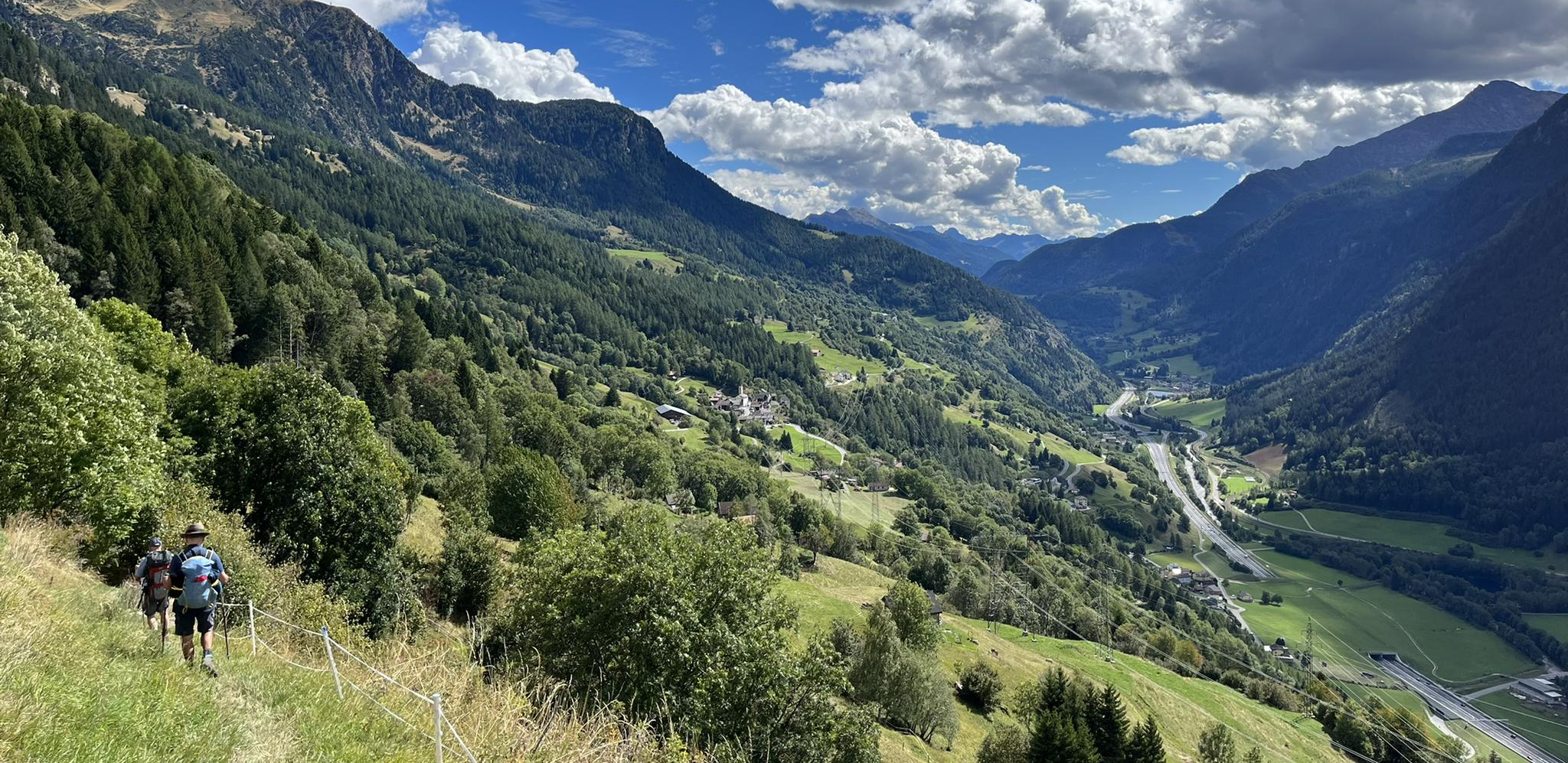
Strada alta – Hiking in the sun terrace of Switzerland

Alpine Passes Trail – hiking 700km across Switzerland
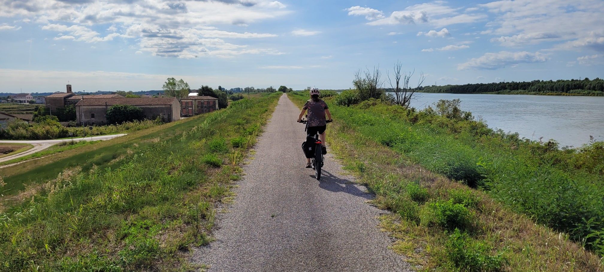
Ciclovie del Po — An all-round experience along Italy's longest river
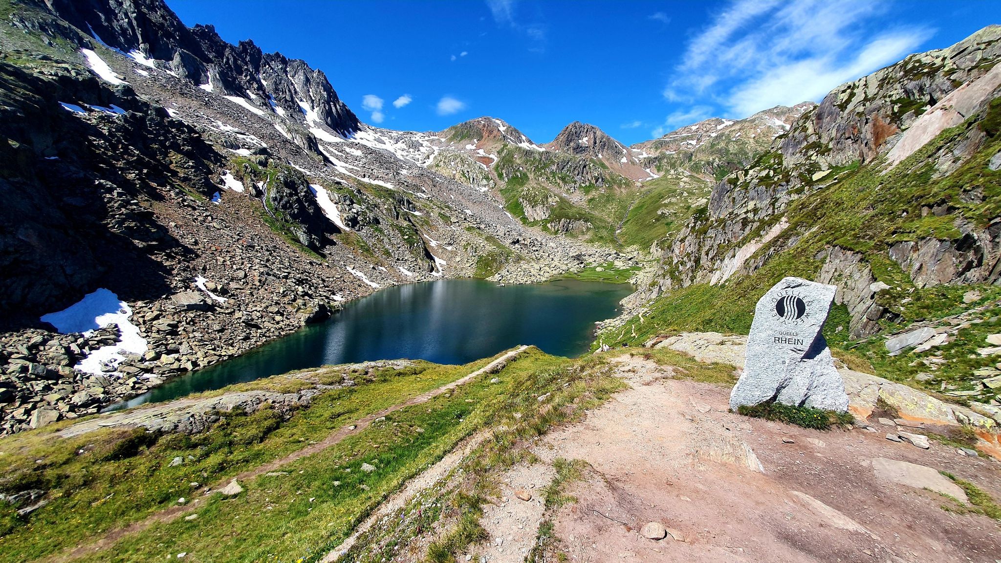
Four Springs Trail — Find flow in Switzerland's Gotthard Massif

Alpine Passes Trail in Switzerland – 34 stages of pure mountain fun

Trans Swiss Trail – Hiking across Switzerland

Via Gottardo – Following historic trails
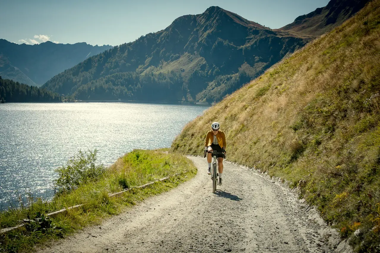
Ticino hut-to-hut: a 3-day alpine gravel escape

Every cycling trip is a little holiday – bike to work Challenge 2026
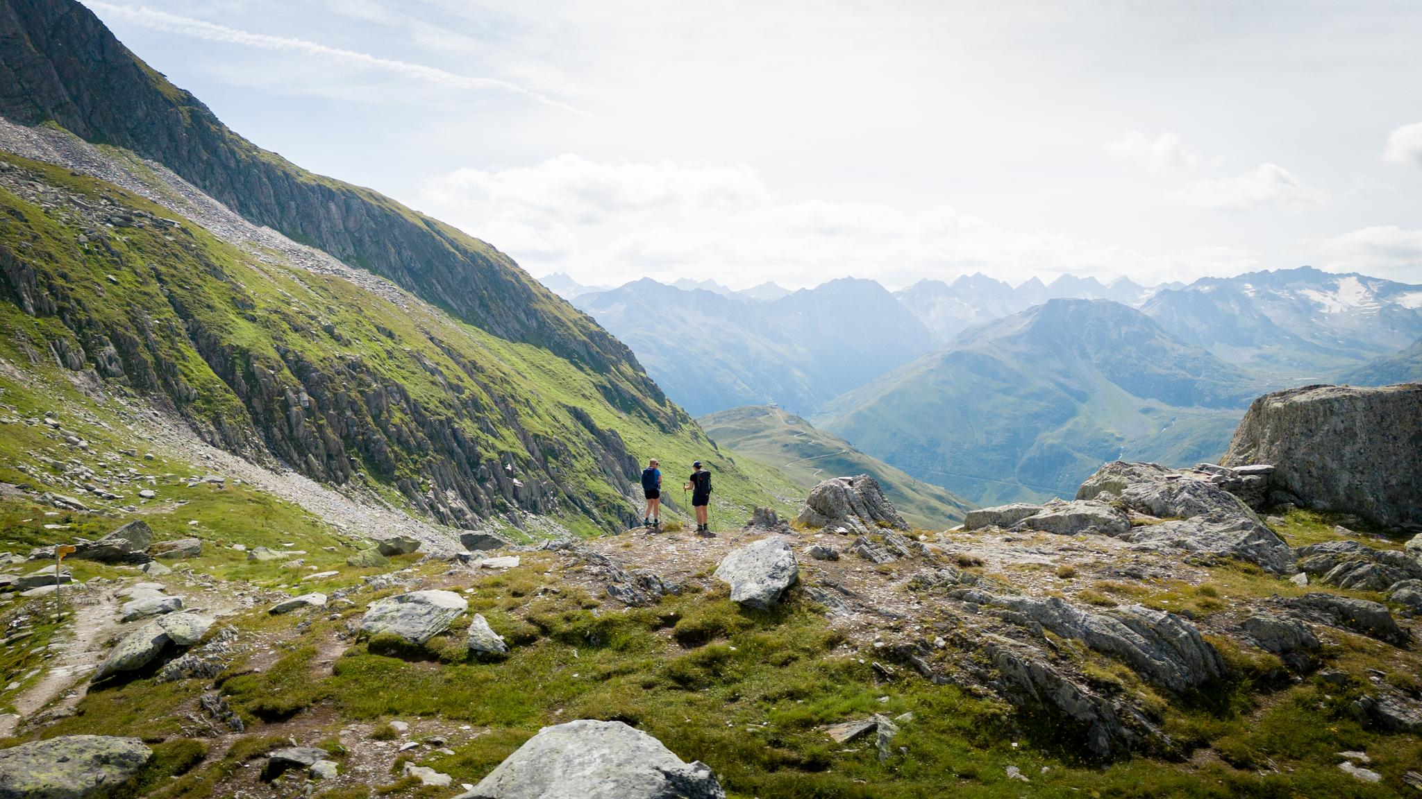
On the hunt for crystals and alpine lake magic – Gotthard Crystal Trek
Other adventures around the Ticaround theo


Tips from the Community

The Naviglio Grande in Turbigo represents the operational starting point of the oldest navigable canal in Europe. Although the waters are historically diverted from the Ticino river at Tornavento, it is precisely in Turbigo that the watercourse becomes the continuation of the Industrial Canal and enters the heart of its 50-kilometer route towards the Darsena of Milan.
0
0
The Villoresi Canal begins at the Panperduto Dam, a historic and imposing hydraulic junction located in the municipality of Somma Lombardo (VA), where the canal draws its waters from the Ticino river.
0
0

Another great hydraulic dam work on the Ticino
0
0
The unique name "Panperduto" derives mainly from the local dialect and ancient stories related to river navigation before the construction of the dam. In the past, commercial barges carrying goods or stones often collided with the rapids and rocky riverbeds of this stretch of the river, ending up capsizing and losing their entire cargo. This meant the loss of the entire day's work and the earnings needed to buy food, hence the saying "we lost the bread" (hence Panperduto).
0
0
La Diga del Panperduto (or rather, the Dighe del Panperduto) is one of Lombardy's most important and fascinating hydraulic junctions, located on the Ticino river in the municipality of Somma Lombardo, in the province of Varese. This monumental complex of hydraulic engineering dates back to the late 19th century (inaugurated in 1884) and mainly serves to divert the waters of the Ticino to feed two fundamental artificial canals: Villoresi Canal: used for irrigation purposes, guaranteeing water for over 100,000 hectares of agricultural land in the Po Valley. Industrial Canal: fundamental for the production of hydroelectric energy through various power plants in the area.
0
0

very cute
0
0

Naviglio Grande cycle path highly recommended
1
0

It is one of the oldest hydroelectric power plants in Italy: it was officially inaugurated on October 9, 1901, in the presence of the King of Italy Vittorio Emanuele III. Between 1935 and 1938, it was completely modernized, based on a project by architect Giovanni Muzio - an exponent of the so-called Novecento artistic movement - also increasing the power to 31.5 MW. The power plant, of significant historical value, represents the perfect union between past and future and is an important element for energy production using flowing water technology.
0
0
Frequently Asked Questions
How many gravel bike trails are available in Ticino?
Ticino offers a wide variety of gravel biking experiences, with over 100 routes documented on komoot. These trails cater to different skill levels, from moderate to difficult, allowing you to explore the canton's diverse landscapes.
What are the difficulty levels of gravel bike trails in Ticino?
The gravel bike trails in Ticino range from moderate to difficult. You'll find 53 moderate routes and 41 difficult routes, providing options for both experienced riders and those looking for a challenge. There are also 15 easier routes for a more relaxed ride.
Are there any family-friendly gravel biking routes in Ticino?
Yes, Ticino has routes suitable for families. A great option is the Lake Maggiore Family Tour, a 22 km trail that takes you through the scenic Lake Maggiore region. This route is often completed in about 2 hours and 6 minutes, making it manageable for a family outing.
What kind of landscapes can I expect to see while gravel biking in Ticino?
Ticino's unique geography offers a transition from Mediterranean environments in the south to stunning Alpine scenery in the north. You can expect to ride through extensive valleys like the Verzasca and Maggia Valleys, along significant lakes such as Lake Maggiore and Lake Lugano, and across various hills and mountains. The routes often combine gravel and forest paths with tarmac sections, providing varied terrain and breathtaking views.
What do other gravel bikers enjoy most about riding in Ticino?
The komoot community highly rates gravel biking in Ticino, with an average score of 4.4 stars from over 160 reviews. Riders often praise the region's diverse topography, the blend of Mediterranean and Alpine landscapes, and the well-maintained trails that offer a mix of challenges and scenic beauty. Over 1800 gravel bikers have used komoot to explore Ticino's varied terrain.
Are there any circular gravel bike routes in the region?
Yes, many gravel bike routes in Ticino are designed as loops. For example, the Panperduto Dam – Panperduto Dam loop from Turbigo is a popular moderate 57.8 km path offering a mix of riverside trails and open sections. Another option is the Tenero–Bellinzona Cycle Path – Locarno–Tenero Cycle Path loop from Minusio, a 59.7 km route with moderate difficulty.
What natural attractions can I see along the gravel bike trails in Ticino?
Ticino is rich in natural beauty. You might encounter the Ticino River, or stunning lakes like Lake Ritom. The region is also known for its picturesque valleys such as Verzasca and Maggia, and impressive waterfalls like the Piumogna waterfall near Faido. The landscape transitions from palm trees to glaciers, offering diverse natural sights.
Are there any historical landmarks or points of interest near the gravel routes?
Yes, Ticino has several historical and cultural landmarks. You could visit the Sasso Corbaro Castle, one of the three castles of Bellinzona, or the Sacro Monte of Ghiffa. The region's traditional villages and the 'museum on the territory' Muggio Valley also offer a glimpse into local history and culture.
Can I access gravel bike routes using public transport in Ticino?
Ticino has a well-developed public transport network, including trains and buses, which can often be used to reach starting points of various routes. While specific routes for public transport access aren't detailed here, the region's infrastructure generally supports combining cycling with public transit, especially in more populated areas and valleys.
What is a good challenging gravel bike route in Ticino?
For a challenging ride, consider the From castle to hermitage trail. This 52.4 km route features significant elevation changes and is rated as difficult, providing a demanding yet rewarding experience for advanced gravel bikers.
Are there any long-distance gravel routes for multi-day trips?
While individual routes listed here are typically day trips, Ticino is home to longer adventures like the 'Ticino Traverso,' a moderate-difficulty route spanning over 325 km that takes riders from the canton's south to its north. This suggests the potential for combining routes for multi-day gravel biking experiences across the region.
What is the best time of year for gravel biking in Ticino?
Ticino enjoys over 2160 hours of sunshine per year, making it suitable for gravel biking for much of the year. The spring and autumn months generally offer pleasant temperatures and beautiful scenery. While some higher alpine routes might be inaccessible in winter, the Mediterranean climate in the south allows for longer riding seasons.
Most popular routes around the Ticaround theo
Most popular attractions around the Ticaround theo

Get inspired with the komoot mobile app


Explore more
Browse the best Gravel rides in other regions.
