The best gravel rides around the Dora Baltea
4.3
(94)
918
riders
71
rides
Gravel biking around the Dora Baltea offers diverse terrain along the river's path from the Mont Blanc massif through the Aosta Valley and into Piedmont. The region features majestic mountains, rolling hills, and expansive plains, providing varied landscapes for cycling. Riders encounter vineyards, lush forests, and historic villages, with sections of the Dora Baltea Cycle Path offering both paved and unpaved surfaces. This mix of terrain makes the area suitable for gravel bikes, catering to different skill levels.
Best gravel…
Last updated: August 30, 2026
5.0
(1)
1
riders
25.0km
02:25
830m
830m
Hard gravel ride. Very good fitness required. Mostly paved surfaces. Suitable for all skill levels.
1
riders
16.1km
01:25
430m
430m
Moderate gravel ride. Good fitness required. Mostly paved surfaces. Suitable for all skill levels.

Sign up for free
4.6
(5)
39
riders
Hard gravel ride. Very good fitness required. Mostly paved surfaces. Suitable for all skill levels.
4.6
(8)
36
riders
46.3km
03:08
260m
260m
Moderate gravel ride. Good fitness required. Mostly paved surfaces. Suitable for all skill levels.
12
riders
33.2km
03:25
1,100m
1,110m
Hard gravel ride. Very good fitness required. Mostly paved surfaces. Suitable for all skill levels.
5.0
(4)
17
riders
18.1km
01:28
490m
490m
Hard gravel ride. Very good fitness required. Mostly paved surfaces. Suitable for all skill levels.
15
riders
33.0km
03:21
1,140m
1,140m
Hard gravel ride. Very good fitness required. Mostly paved surfaces. Suitable for all skill levels.
5.0
(1)
20
riders
70.8km
05:58
1,960m
1,960m
Hard gravel ride. Very good fitness required. Mostly paved surfaces. Suitable for all skill levels.
23
riders
35.0km
02:36
610m
610m
Hard gravel ride. Very good fitness required. Mostly paved surfaces. Suitable for all skill levels.
4.7
(3)
28
riders
Hard gravel ride. Very good fitness required. Mostly paved surfaces. Suitable for all skill levels.
Get access to more routes and recommendations from other explorers.
Sign up for free
Already have an account?
Our route recommendations are based on thousands of hikes, rides, and runs completed by other people on komoot.
Start today with a free account
Your next adventure awaits.
Login or Signup
Popular around Dora Baltea

Alta Via n. 1 of the Aosta Valley — a walk among Italian giants
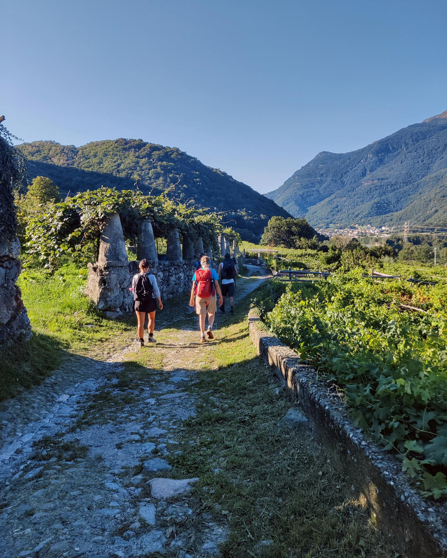
Piemont's Via Francigena
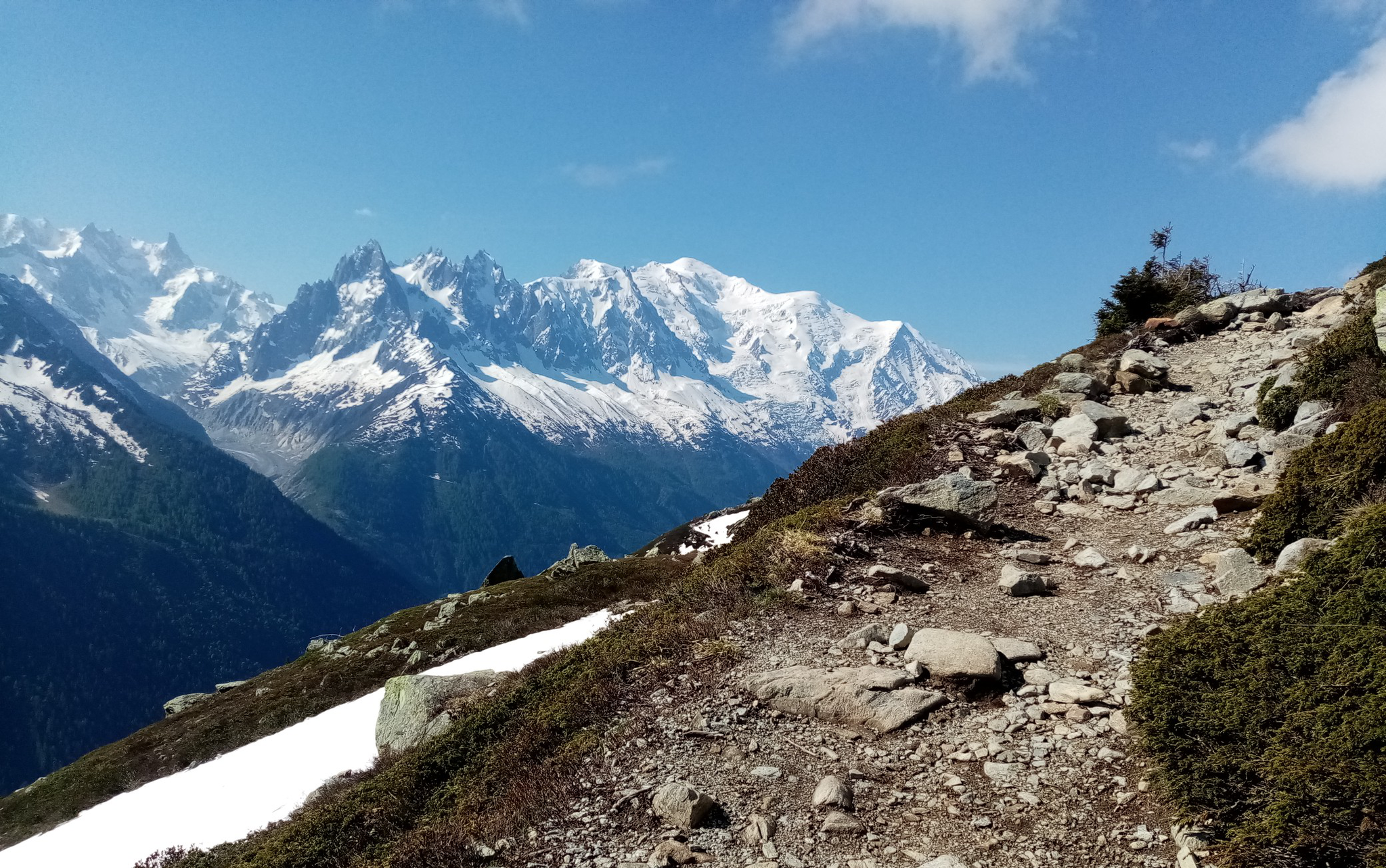
Ultra-Trail du Mont-Blanc – following the footsteps of legends

GTA Central Piedmont – Dense forests, lakes and impressive waterfalls
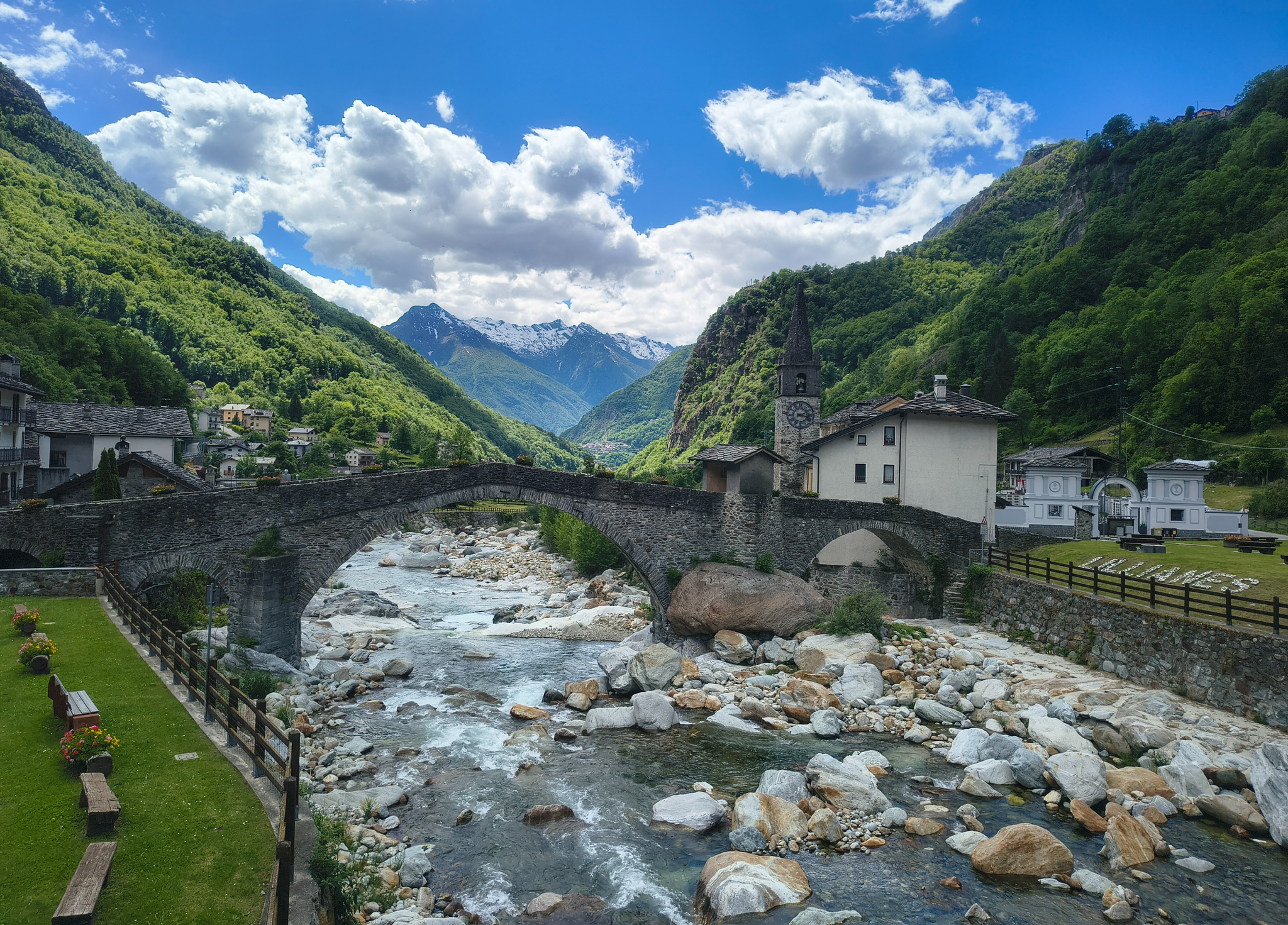
Three days on the Cammino Balteo – The historic Aosta Valley

Cammino Balteo – castles, vineyards and trails of the Aosta Valley
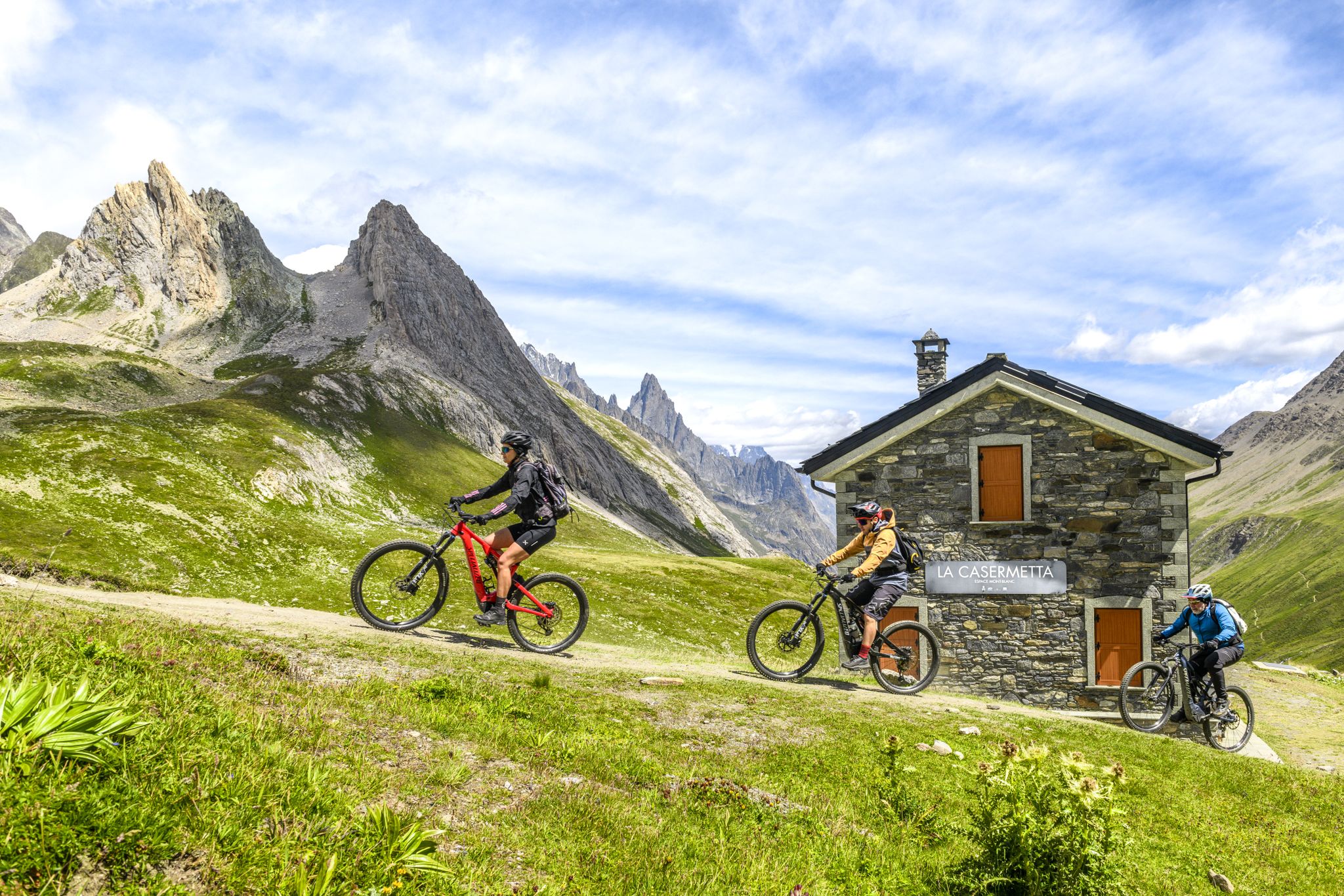
The Aosta Valley by e-MTB – alpine landscapes, castles and glaciers
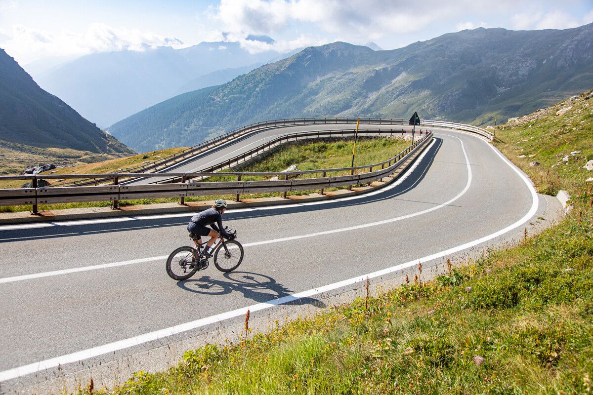
Road cycling in the Aosta Valley – major climbs and alpine routes
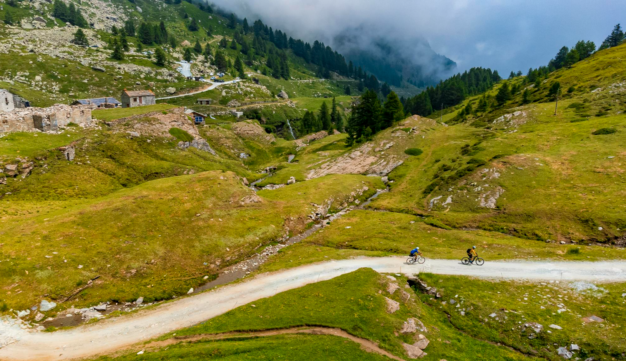
Must-do gravel routes in the Aosta Valley – the heart of the Italian Alps

Alta Via n. 2 of the Aosta Valley — high peaks and beautiful valleys in Italy
Other adventures around the Dora Baltea


Tips from the Community


The crystal clear and very cool mountain water is channelled downhill for irrigation. An refreshing cool-down is ensured at any time.
0
0

The Tour du Mont Fallère is a charming circular hiking route that covers about 35 kilometers in the heart of the Aosta Valley, winding around the mountain of the same name amidst panoramic peaks, forests, and alpine pastures. Designed to be completed in two or three stages on foot or by mountain bike, the trail passes through several high-altitude structures in the area, including the historic Rifugio Chaligne and the Rifugio Mont Fallère.
0
0
Carved out of the eco-sustainable renovation of a typical stone and wood hut at an altitude of 1,943 meters, Rifugio Chaligne in Gignod offers 32 beds and a cuisine based on dairy products from local pastures. Reachable on foot in just over an hour from Buthier or by mountain bike along the rural road, the structure is part of the famous Tour du Mont Fallère hiking circuit.
1
0

Fantastic views, paddling amidst nature between lakes and with the Alps in the background
0
0

Arpuilles is a hamlet in the municipality of Aosta, nestled on the hill north of the city at an altitude of about 1000 meters. The village, along with nearby Signayes, is part of that system of mid-mountain settlements that the Salassi—the Celtic population who inhabited the valley before the Roman conquest—seemed to prefer to the valley floors, and which over the centuries has maintained a rural character distinct from that of the underlying capital. So strong was this sense of identity that in the past the inhabitants of Arpuilles and Signayes even attempted to separate from the municipality of Aosta to form an autonomous municipality. The inhabited core consists of stone and wood houses arranged along the road that climbs from the plain, surrounded by meadows, pastures, and deciduous woods. From Arpuilles, one enjoys an open view of the Aosta basin and the surrounding mountains: Monte Emilius, Becca di Nona, and, in the distance, the peaks of Gran Paradiso. Its sunny position, sheltered from the north winds, has historically made it an area for spring and autumn grazing. Here passes the terminal section of the Ru Neuf, the ancient irrigation canal from 1327 that brought water from Étroubles to the hill of Aosta.
0
0

In this stretch, the Via Francigena follows the ancient Roman route of the Via delle Gallie, where the paving retains the ruts of millennia-old carts. Connecting Augusta Prætoria to the Alpine passes, this strategic road shaped the landscape with rest stops and villages, some of whose names still indicate the distance in miles from the city. Traveling it today means experiencing a direct connection between the spiritual journey of medieval pilgrims and the engineering of the Romans.
0
0
Saint-Germain Castle (or Montjovet Castle), of uncertain origins, marked the history of the Aosta Valley, passing from the Savoy to the Challant family, before finally returning to the Savoy in 1438. Used as a military garrison by Amadeus VIII, it was abandoned in 1661 when the garrison was transferred to the Bard Fort. Completing the site is the Church of Saint-Germain: a small Romanesque building that, through frescoes and architectural details, preserves the spiritual memory of the local community.
1
0
Frequently Asked Questions
How many gravel bike trails are available around the Dora Baltea?
There are nearly 100 gravel bike trails in the Dora Baltea region. You'll find a good mix of options, with 5 easy routes, 33 moderate routes, and 59 more challenging trails for experienced riders.
What kind of terrain can I expect on gravel bike trails in the Dora Baltea region?
The Dora Baltea region offers incredibly diverse terrain. You'll encounter everything from majestic mountains and rolling hills to expansive plains. Many routes follow the river, featuring a blend of paved sections and unpaved gravel paths, winding through vineyards, lush forests, and charming historic villages. The terrain varies, with some parts being relatively flat and easy, while others, particularly after Saint-Vincent, become more challenging with significant elevation changes.
What is the best time of year for gravel biking in the Dora Baltea region?
The Dora Baltea region is beautiful for gravel biking from spring through fall. In spring, the river waters are crystal blue, and in late summer and fall, they turn a deep turquoise. These seasons generally offer pleasant weather for exploring the diverse landscapes, from vineyards to mountain views.
Are there options for beginners or families looking for easier gravel rides?
Yes, there are several options suitable for beginners and families. The region offers 5 easy routes and many moderate ones that feature relatively flat sections, especially along the Dora Baltea Cycle Path. A good moderate option to consider is On the hill of Montjovet, which explores the hilly terrain above the river over 16.1 km.
What do other gravel bikers say about the trails in Dora Baltea?
The gravel bike trails in Dora Baltea are highly rated by the komoot community, with an average score of 4.5 stars from over 100 reviews. Riders often praise the varied terrain, stunning mountain views, historic sites, and the tranquil sound of the flowing river, which together create an unforgettable experience.
Can I explore historical sites or natural landmarks while gravel biking in Dora Baltea?
Absolutely! The Dora Baltea region is rich in history and natural beauty. You can cycle past impressive medieval castles like Mazzè Castle or Verrès Castle. For natural attractions, consider routes near Lake Pistono or the Les Iles Nature Reserve, both offering scenic stops.
Are there any long-distance gravel routes or challenging rides for experienced cyclists?
Yes, the Dora Baltea region offers plenty for experienced cyclists seeking a challenge. Many routes feature significant elevation gain and cover longer distances. For example, the Montalenghe climb – Agliè Ducal Castle loop from Vische is a demanding 110 km route with over 1000 meters of elevation gain. Another challenging option is the Col d'Arlaz loop, a difficult 25 km path with significant elevation.
Are there any circular gravel bike routes in the Dora Baltea area?
Yes, many gravel bike routes in the Dora Baltea region are designed as loops, allowing you to start and end in the same location. A popular circular route is the Naviglio di Ivrea – Lake Candia loop from Casale di Mazze' (v. Rondissone), which is 40.6 km long and takes you through canals and lake areas.
Can I find routes that pass through historic towns or villages?
Absolutely. The Dora Baltea Cycle Path and many other gravel routes connect historic towns and villages such as Aosta, Donnas, Ivrea, and Chivasso. These offer glimpses into local culture and history, with opportunities to see ancient Roman ruins, medieval architecture, and charming local life. For instance, the Roisan Village and Church – Pont d'Aël Roman Aqueduct loop from Aosta Viale Europa takes you past historical points of interest.
Are there any routes that offer views of vineyards or orchards?
Yes, the region is renowned for its vineyards and fruit orchards, especially the terraced ones that descend towards the river. Many gravel routes wind through these agricultural landscapes, providing scenic backdrops for your ride. You'll find plenty of opportunities to cycle past these picturesque areas, particularly in the lower Aosta Valley and Piedmont sections of the Dora Baltea.
What are the options for parking when accessing gravel bike trails in Dora Baltea?
While specific parking details vary by trailhead, many towns and villages along the Dora Baltea, such as Aosta, Ivrea, and Chivasso, offer public parking facilities. It's advisable to check local parking information for your chosen starting point before your ride.
Is public transport an option for reaching gravel bike trails in the Dora Baltea region?
Yes, public transport can be a viable option. The Dora Baltea river passes through several towns and cities that are accessible by train or bus, particularly in the Aosta Valley and Piedmont. This allows for flexible planning, potentially combining a ride with public transport to create point-to-point adventures or access specific trailheads.
Most popular routes around the Dora Baltea
Most popular attractions around the Dora Baltea

Get inspired with the komoot mobile app


Explore more
Browse the best Gravel rides in other regions.
