The best gravel rides around Movelier
4.4
(45)
347
riders
52
rides
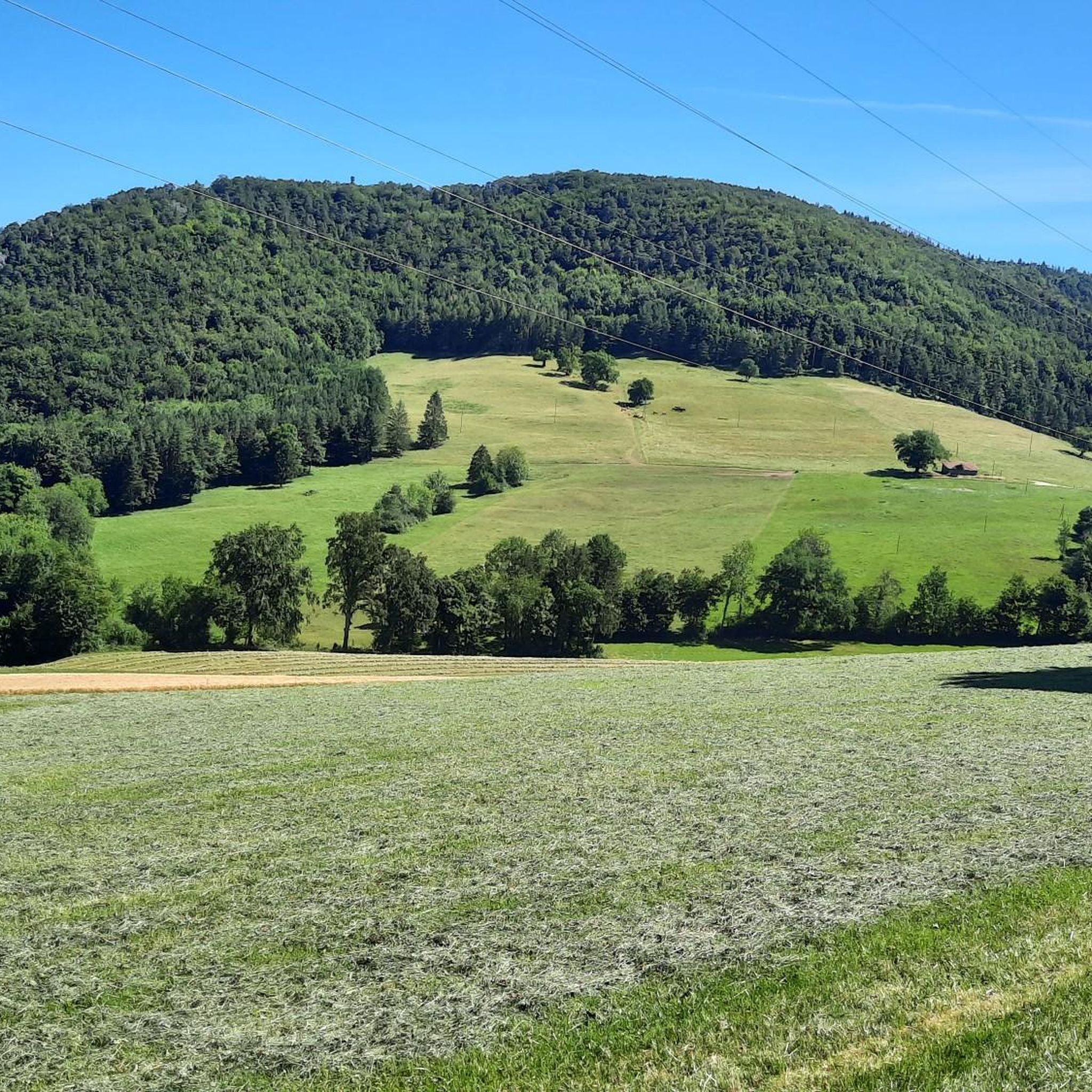
Gravel biking around Movelier offers routes through the varied terrain of the Jura region, characterized by rolling hills, river valleys, and forested sections. The area features a network of paths suitable for gravel bikes, often following waterways like the Birs River and passing by local ponds. Elevations vary, providing both challenging climbs and scenic stretches with viewpoints.
Best gravel bike trails around Movelier
- The most popular gravel bike trail is Grand Étang de la Réselle – Birs near Soyhières loop…
Last updated: October 19, 2026
3.0
(3)
26
riders
44.8km
02:58
620m
620m
Hard gravel ride. Very good fitness required. Mostly paved surfaces. Suitable for all skill levels.
4.0
(6)
22
riders
46.2km
03:01
540m
540m
Hard gravel ride. Very good fitness required. Mostly paved surfaces. Suitable for all skill levels.

4.5
(2)
13
riders
66.7km
04:51
1,190m
1,190m
Hard gravel ride. Very good fitness required. Mostly paved surfaces. Suitable for all skill levels.
4.7
(6)
24
riders
32.9km
01:58
350m
350m
Moderate gravel ride. Good fitness required. Mostly paved surfaces. Suitable for all skill levels.
8
riders
36.6km
02:58
770m
770m
Hard gravel ride. Very good fitness required. Mostly paved surfaces. Suitable for all skill levels.
Get access to more routes and recommendations from other explorers.
Already have an account?
Our route recommendations are based on thousands of hikes, rides, and runs completed by other people on komoot.
Start today with a free account
Your next adventure awaits.
Tips from the Community

“Behold, the Heart of the Redeemer – an understandable sign of his invincible love and an inexhaustible source of true peace. In him, ‘the whole fullness of deity dwells bodily’ (Col 2:9). The peace that Christ brought to the earth comes precisely from this fullness and this love. It is the gift of a loving God who loved humanity in the heart of his only-begotten Son. ‘He is our peace’ (cf. Phil 2:14) – cries Saint Paul. Yes, Jesus is peace, he is our reconciliation. (…) As we venerate his Most Sacred Heart today, we pray earnestly for peace: first for peace in our hearts, but also for peace in our families, in our country, and throughout the whole world: Heart of Jesus, our peace and our reconciliation, have mercy on us!” (Address by Pope John Paul II on June 7, 1999, in Thorn)
0
0

The Grand Étang de la Réselle is located near Delémont and is an idyllic pond in the middle of the forest. Surrounded by tranquility and nature, it offers a beautiful resting place for hikers. A circular path leads along the water and invites you to linger. Especially on warm days, the shady location provides pleasant coolness. The Étang is a rather unknown destination and therefore pleasantly quiet. In combination with the Vorbourg ruin, a varied hike can be planned.
5
0
The Stutzkapelle Liesberg is located above Liesberg on the quiet Stutzweg. The simple chapel serves as a place of devotion and invites hikers for a short break. Surrounded by the Jura hills, it offers a beautiful view and is a popular destination for walkers. Ideal for quiet moments on the go.
6
0

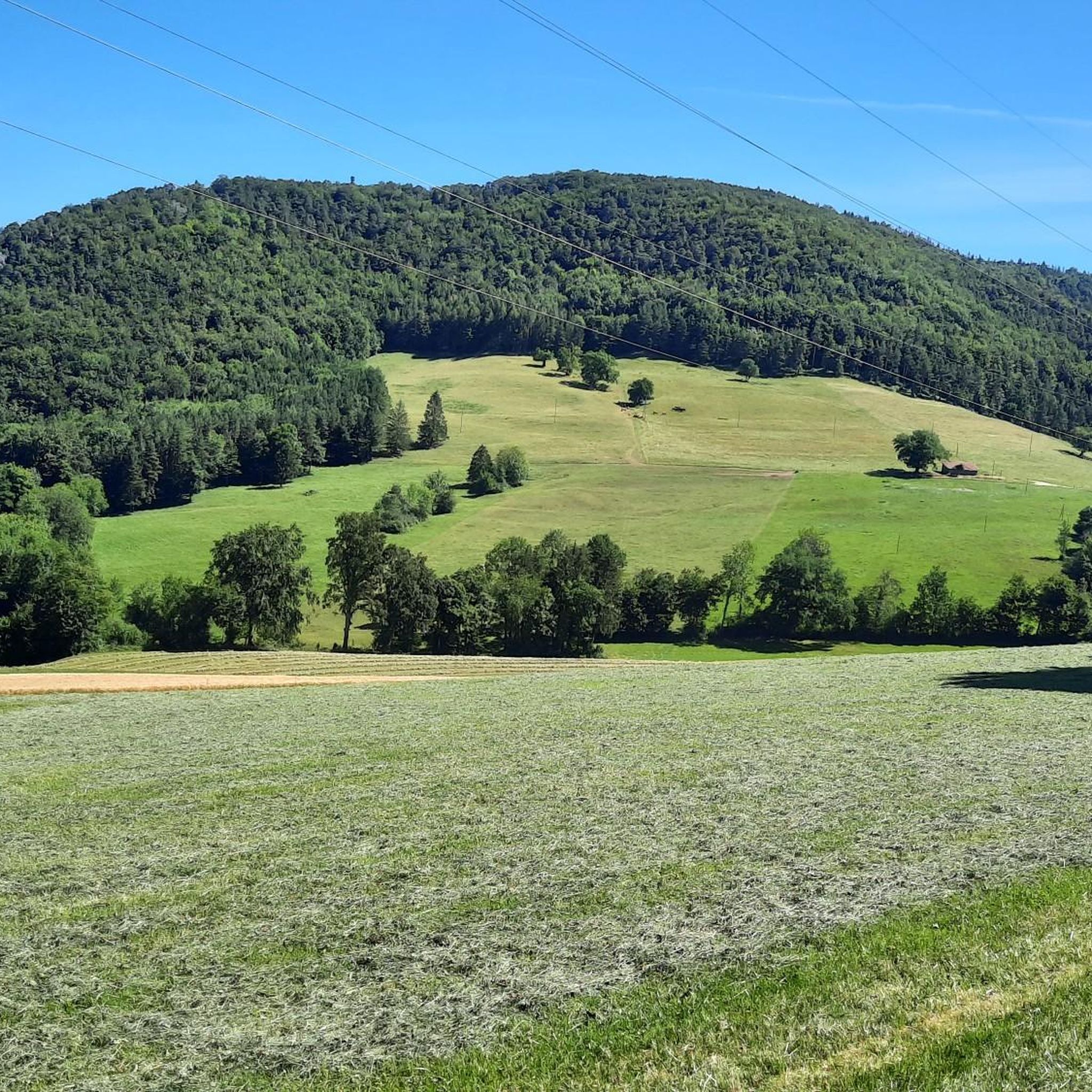
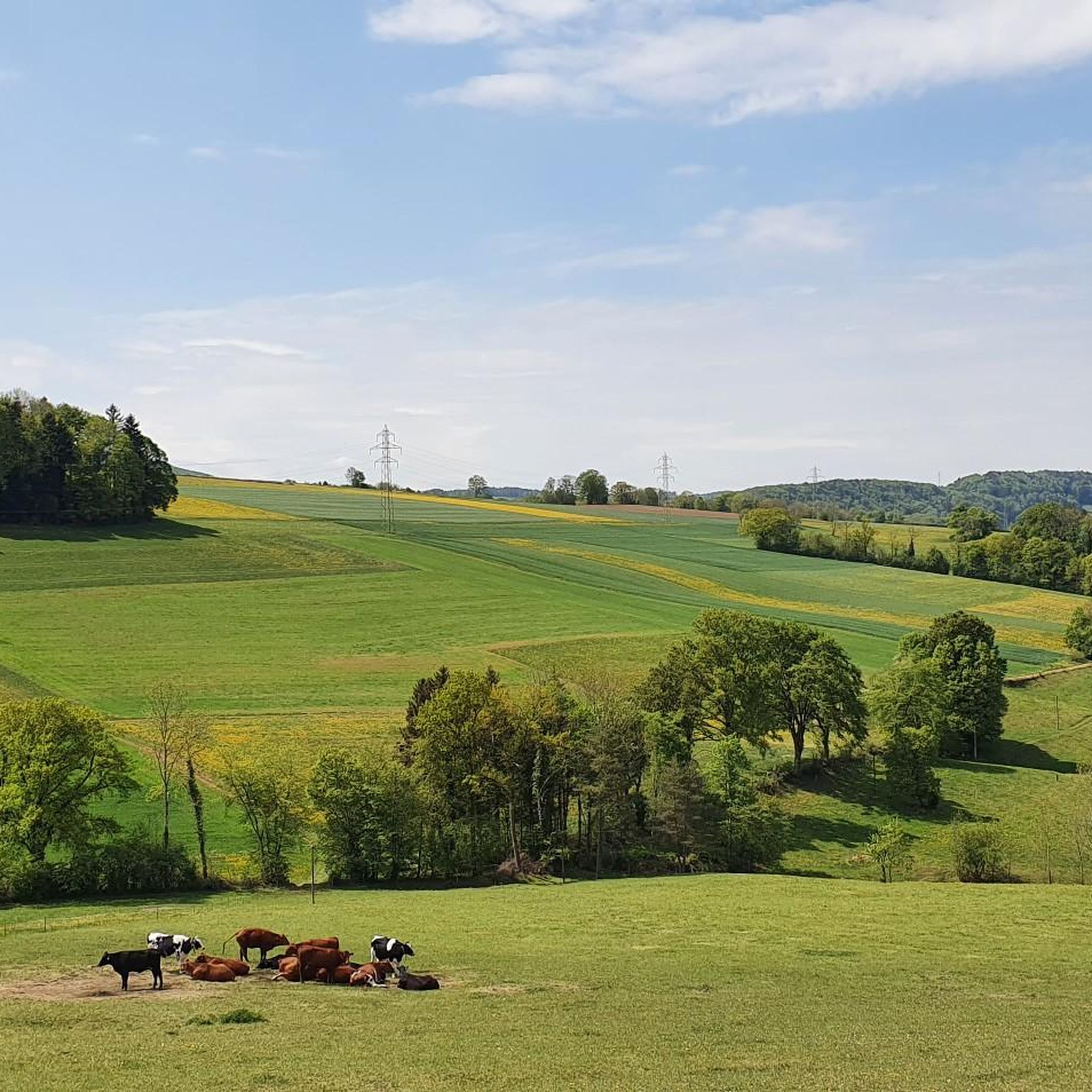
Here you cycle on finest gravel through the Jura. The Jura Bike Route could not be more varied: forest, meadows, and great views await you.
0
0

The pass appears unspectacular, but those who take the time for a short break can admire the southern Jura mountain ranges and the gentle hills to the north through the hedge.
0
0

Fishing, why not? A bit of a strange location, but entertaining.
1
1
A small artificial fish pond. Beautifully situated and just right for a quick rest.
0
0

In Laufen, in the old town, there's a superb bakery with delicious things. Cozy and delicious.
0
0
Frequently Asked Questions
What is the typical difficulty of gravel bike trails in Movelier?
The gravel biking routes around Movelier primarily feature moderate to difficult terrain. Out of 70 available tours, 22 are classified as moderate and 48 as difficult, often involving significant elevation changes and longer distances. There are no easy-rated gravel specific routes in the immediate area.
Are there any longer gravel biking routes available in Movelier?
Yes, Movelier offers several longer gravel biking routes. For instance, the Birs near Soyhières – Eggflue Viewpoint loop from Delémont is a challenging 66.9 km (41.6 miles) trail that typically takes around 4 hours 51 minutes to complete, featuring substantial elevation gain. Another option is the Path Along the Birs River – Birs near Soyhières loop from Delémont, which covers 46.2 km (28.7 miles).
What kind of terrain can I expect on Movelier's gravel trails?
The gravel trails in Movelier traverse the varied landscape of the Jura region. You can expect a mix of rolling hills, scenic river valleys, particularly along the Birs River, and extensive forested sections. The routes often follow waterways and pass by local ponds, offering diverse natural scenery.
Are there any circular gravel routes in the Movelier area?
Many of the gravel routes around Movelier are designed as loops. For example, the Petit Étang de la Réselle – Grand Étang de la Réselle loop from Pleigne offers a 36.6 km (22.7 miles) circular ride. Another option is the Pretty avenue – Scenic bench loop from Delémont, a 30.8 km (19.1 miles) loop with significant elevation.
What do other gravel bikers enjoy most about Movelier's trails?
The gravel biking experience in Movelier is highly rated by the komoot community, with an average score of 4.7 stars from over 25 reviews. Riders often praise the varied terrain, which includes river paths, forested hills, and scenic viewpoints. The network offers options for both moderate and more advanced riders seeking longer distances and elevation.
What are some interesting landmarks or viewpoints along the gravel routes?
Several routes offer access to notable landmarks and viewpoints. The Birs near Soyhières – Eggflue Viewpoint loop from Delémont specifically leads towards elevated viewpoints. Beyond the trails, you can explore attractions like the historic Ferrette Castle or the serene Lucelle Lake. Natural features such as the Blochmont Pass and the intriguing Dwarves' Grotto are also nearby.
Are there any caves or gorges to explore near the gravel trails?
Yes, the Movelier area is known for its geological features. You can find several caves and gorges, including the Dwarves' Grotto, Dr. Herrings' Cave, and Les Grottes de Soyhières. For gorges, the Ravine and Schachlete Gorge offer dramatic natural scenery.
What is the best time of year for gravel biking in Movelier?
The Jura region, including Movelier, generally offers good gravel biking conditions from spring through autumn. The varied terrain means that some trails might be affected by snow or ice in winter, especially at higher elevations. Spring and autumn provide pleasant temperatures and vibrant scenery, while summer is ideal for longer days, though some sections might be warmer.
Is public transport accessible for reaching Movelier's gravel trails?
Many of the gravel routes in the Movelier area, such as the Grand Étang de la Réselle – Birs near Soyhières loop from Delémont, start from Delémont, which is a regional transport hub. This makes it convenient to access the trails via public transport, particularly by train. It's advisable to check local transport schedules for specific connections to your chosen starting point.
Are there options for parking near the gravel trails in Movelier?
For routes starting from towns like Delémont or Pleigne, you will typically find public parking facilities available. It's recommended to check the specific starting point of your chosen route on komoot for detailed information regarding parking options and accessibility.
Are there any cafes or places to stop for refreshments along the gravel routes?
While the routes themselves often traverse natural and rural areas, towns and villages along or near the trails, such as Delémont, will have cafes and restaurants where you can stop for refreshments. Planning your route with komoot allows you to identify potential stops for food and drink.
Most popular attractions around Movelier

Get inspired with the komoot mobile app


Explore more
Browse the best Gravel rides in other regions.
