The best gravel rides around Unterbäch
4.6
(18)
264
riders
13
rides
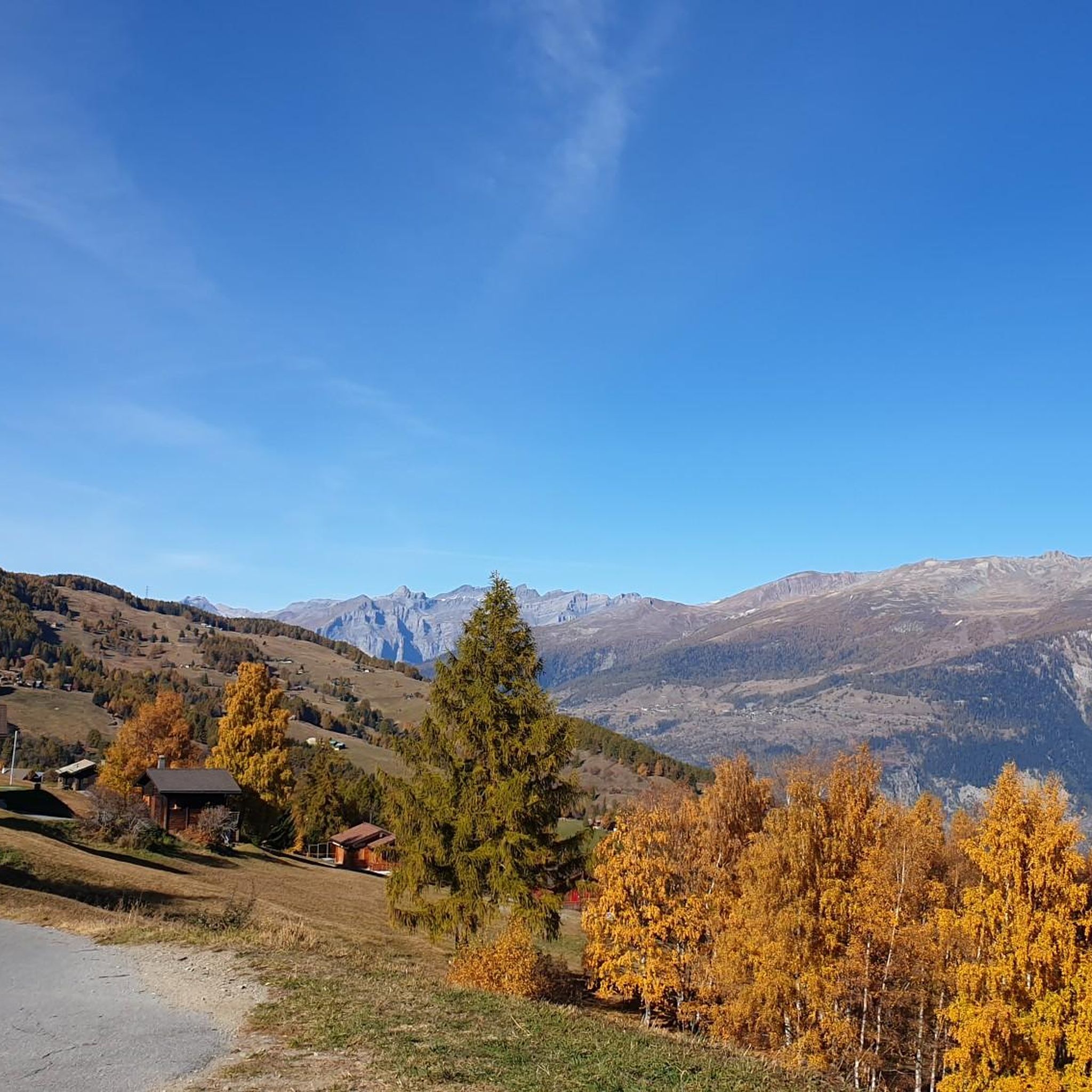
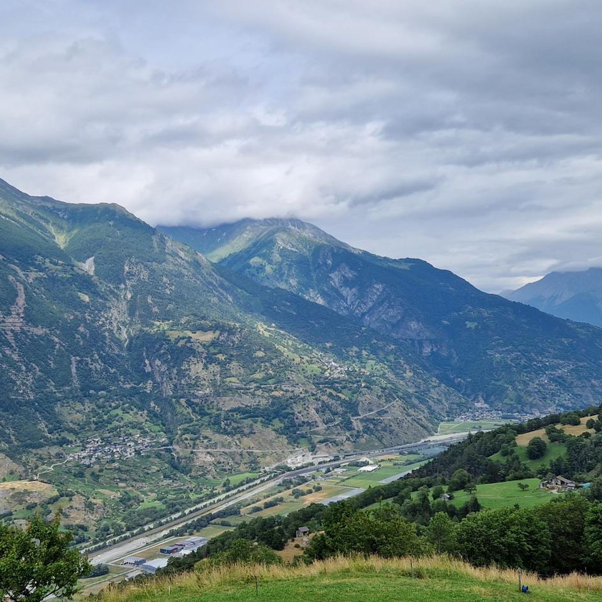
Gravel bike trails around Unterbäch are situated on a sunny high plateau in the Valais canton of Switzerland, offering diverse terrain for cycling. The region is characterized by stunning Alpine scenery, including towering peaks and lush meadows, traversed by a network of 4x4 roads and trails. Riders can expect to navigate through cool spruce and larch forests, across alpine meadows, and alongside historic irrigation channels known as Suons.
Best gravel bike trails around Unterbäch
- The most popular gravel bike trail…
Last updated: July 2, 2026
5.0
(1)
43
riders
47.9km
04:50
1,570m
1,570m
Hard gravel ride. Very good fitness required. Some segments of this route may be unpaved and difficult to ride.
5.0
(1)
40
riders
Easy gravel ride. Great for any fitness level. Mostly paved surfaces. Suitable for all skill levels.

Sign up for free
5.0
(1)
18
riders
30.5km
02:38
980m
980m
Hard gravel ride. Very good fitness required. Mostly paved surfaces. Suitable for all skill levels.
4.0
(1)
11
riders
35.1km
02:08
250m
250m
Moderate gravel ride. Good fitness required. Mostly paved surfaces. Suitable for all skill levels.
9
riders
27.1km
01:51
390m
390m
Moderate gravel ride. Good fitness required. Mostly paved surfaces. Suitable for all skill levels.
Get access to more routes and recommendations from other explorers.
Sign up for free
Already have an account?
Our route recommendations are based on thousands of hikes, rides, and runs completed by other people on komoot.
Start today with a free account
Your next adventure awaits.
Login or Signup
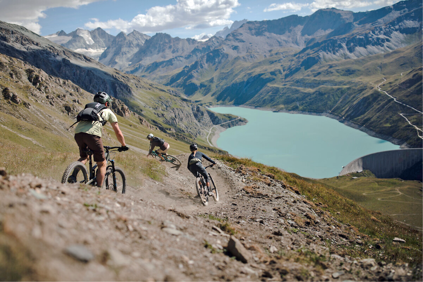
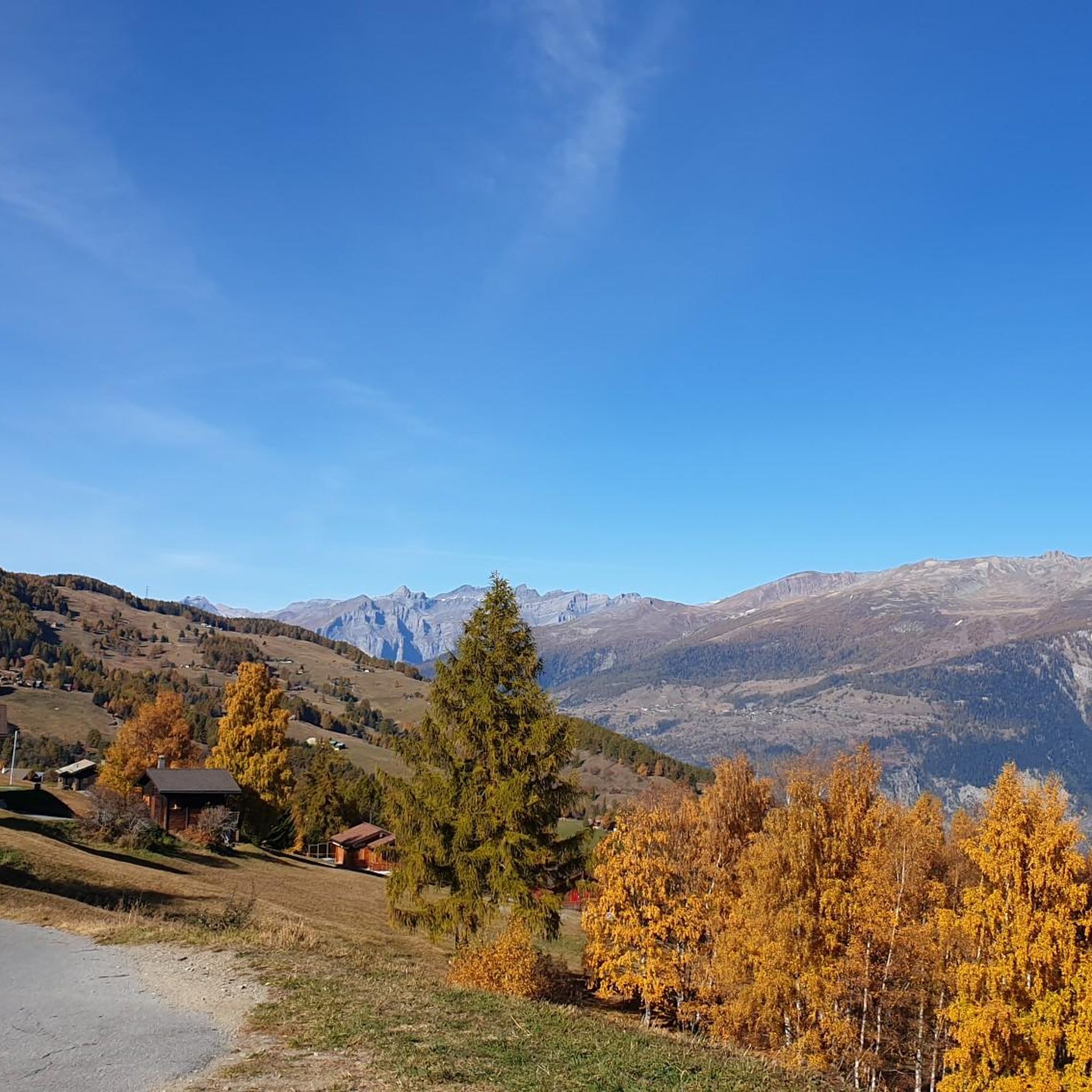
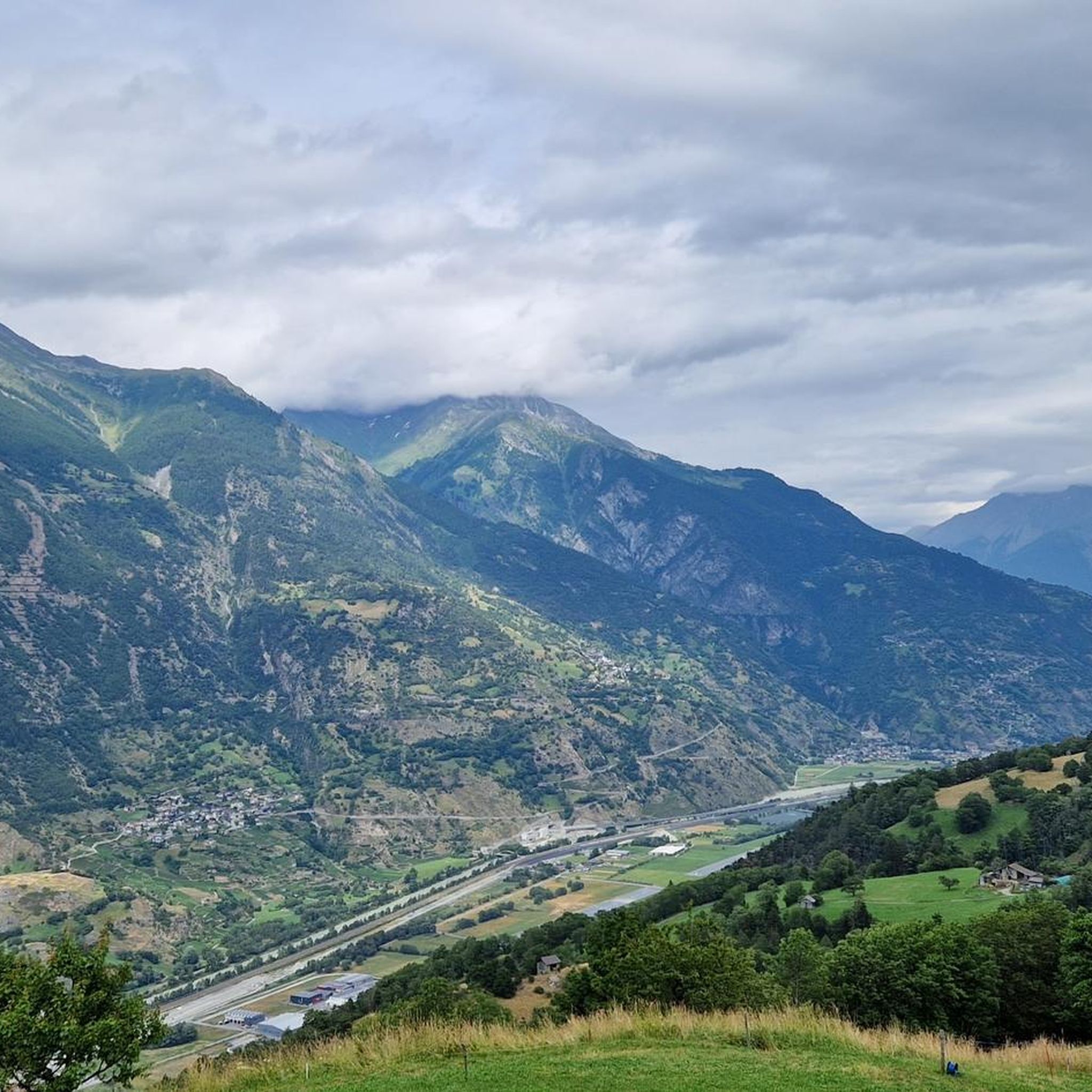
Other adventures around Unterbäch

Tips from the Community

It was carved into the rock. Benches invite you to rest.
0
0

The Mattsand compensation lake is located at an altitude of 1,230 meters. Water from the Mattern Vispa is collected in the lake and then transported north through the 12.5-kilometer-long pressure tunnel towards Törbel and Stalden.
0
0

Very good gravel road
0
0

A wonderful tour down the valley. Mostly on paths with little or no traffic.
0
0

A fantastic thermal spa with direct access from the adjacent campsite. It has something for everyone.
0
1
The Mattsand compensation lake is located at 1230 meters above sea level. The water from the Mattern Vispa is collected in the lake and then transported northwards via the 12.5 km long pressure tunnel towards Törbel and Stalden. The Achersand 2 power plant has an output of 60 MW
1
0
After the landslide in Randa, a 3.5 km long diversion tunnel was built for the Matter Vispa. This tunnel is intended to protect Randa from flooding.
1
0

Beautiful view of the Matterhorn 👍💯
0
0
Frequently Asked Questions
How many gravel bike trails are available around Unterbäch?
There are 16 gravel bike trails around Unterbäch, offering a diverse range of options. Most of these, 12 routes, are rated as difficult, while 3 are moderate, and 1 is easy, catering to various skill levels.
What kind of terrain can I expect on gravel bike routes in Unterbäch?
Gravel biking around Unterbäch offers varied terrain, from cool spruce and larch forests to open alpine meadows and 4x4 roads. You'll also find routes that follow historic irrigation channels known as 'Suons', adding a unique cultural element to the natural landscape. The region's high plateau location provides stunning Alpine scenery and panoramic views.
Are there any family-friendly gravel biking options in Unterbäch?
While many routes in Unterbäch are challenging, the region offers family-friendly activities. For cycling, consider the Rhône River Cycle Path – Brigerbad Thermal Spa loop from Gampel-Steg, which is a moderate route following the river. Beyond biking, Unterbäch features the 'Suonen- and Sudelpark' for water play and a children's train called the 'Ginals-Express'.
What is the best time of year for gravel biking in Unterbäch?
Unterbäch, situated on a sunny high plateau, receives over 2,000 hours of sunshine annually, making it pleasant for activities throughout much of the year. The best time for gravel biking is typically from late spring to early autumn when the alpine meadows are lush and the weather is most stable. Winter conditions will likely make many higher-altitude gravel routes inaccessible or require specialized equipment.
Are there any circular gravel bike routes in the Unterbäch area?
Yes, several routes are designed as loops. For example, the moderate Rhône River Cycle Path – Brigerbad Thermal Spa loop from Gampel-Steg and the View of the Vineyards – Lake View on the Dike loop from Gampel-Steg offer scenic circular rides. Another option is the difficult Riti bridge over the Vispa – Meadow trail Hellela loop from Bürchen.
What are some notable viewpoints or natural features to see along the gravel bike trails?
The region is rich in stunning Alpine scenery. Many routes offer panoramic views, including glimpses of the iconic Bietschhorn. You can ride through cool spruce and larch forests and across fragrant alpine meadows. The Moosalp panoramic tour from Visp on a gravel bike is particularly known for its extensive high alpine views. Don't miss the Hohegga Lookout Point, a short walk from the village, for wonderful views of Unterbäch and the surrounding mountains.
What do other gravel bikers say about the trails in Unterbäch?
The gravel biking routes around Unterbäch are highly rated by the komoot community, with an average score of 4.7 stars from over 20 reviews. Reviewers often praise the stunning Alpine scenery, the diverse terrain, and the extensive network of 4x4 roads and trails that make for rewarding rides.
Are there any places to eat or rest along the gravel bike routes?
Yes, you'll find options for refreshments. For instance, the Mountain restaurant Dorbia Moosalp is a great spot for a break. Additionally, Brandalp, accessible by chairlift, has a mountain restaurant with panoramic views. Alp Ginals also features a mountain restaurant offering Valais specialties and mountain views during the summer season.
Can I reach Unterbäch with public transport and bring my bike?
While the guide doesn't specify direct public transport options for bikes to Unterbäch, the Valais region generally has good public transport links. It's advisable to check with local transport providers (trains, post buses) regarding their policies for bike transport, especially during peak seasons, as space can be limited.
Where can I park my car if I want to go gravel biking in Unterbäch?
Unterbäch is well-equipped for visitors. While specific parking locations for gravel biking aren't detailed in the guide, as a popular outdoor destination, you can expect to find designated parking areas within or near the village center, suitable for accessing the trail network.
Are there any specific attractions or landmarks near the gravel bike trails?
Beyond the natural beauty, you can find several points of interest. The Mountain restaurant Dorbia Moosalp is a popular stop. For those interested in history, Unterbäch is known as the 'Rütli of Swiss women' due to its role in women's suffrage. You might also encounter historic irrigation channels called 'Suons' along many routes. For more challenging trails, consider exploring the Challenging singletrack in Balmuwald or the Wolfspfad Trail.
What are the elevation gains like on gravel bike routes around Unterbäch?
The elevation gains vary significantly depending on the route's difficulty. For example, the difficult Moosalp panoramic tour from Visp on a gravel bike involves substantial climbing, with an elevation gain of over 1,500 meters. In contrast, moderate routes like the Rhône River Cycle Path – Brigerbad Thermal Spa loop from Gampel-Steg have minimal elevation changes, making them less strenuous.
Most popular routes around Unterbäch
Most popular attractions around Unterbäch

Get inspired with the komoot mobile app


Explore more
Browse the best Gravel rides in other regions.
