The best gravel rides around Bovernier
4.7
(13)
335
riders
15
rides
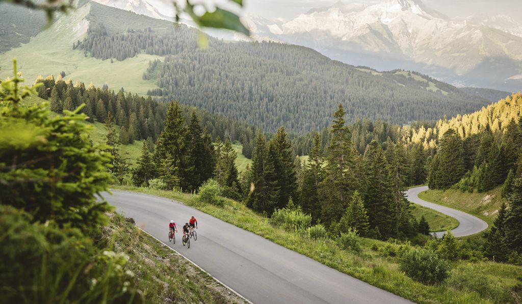
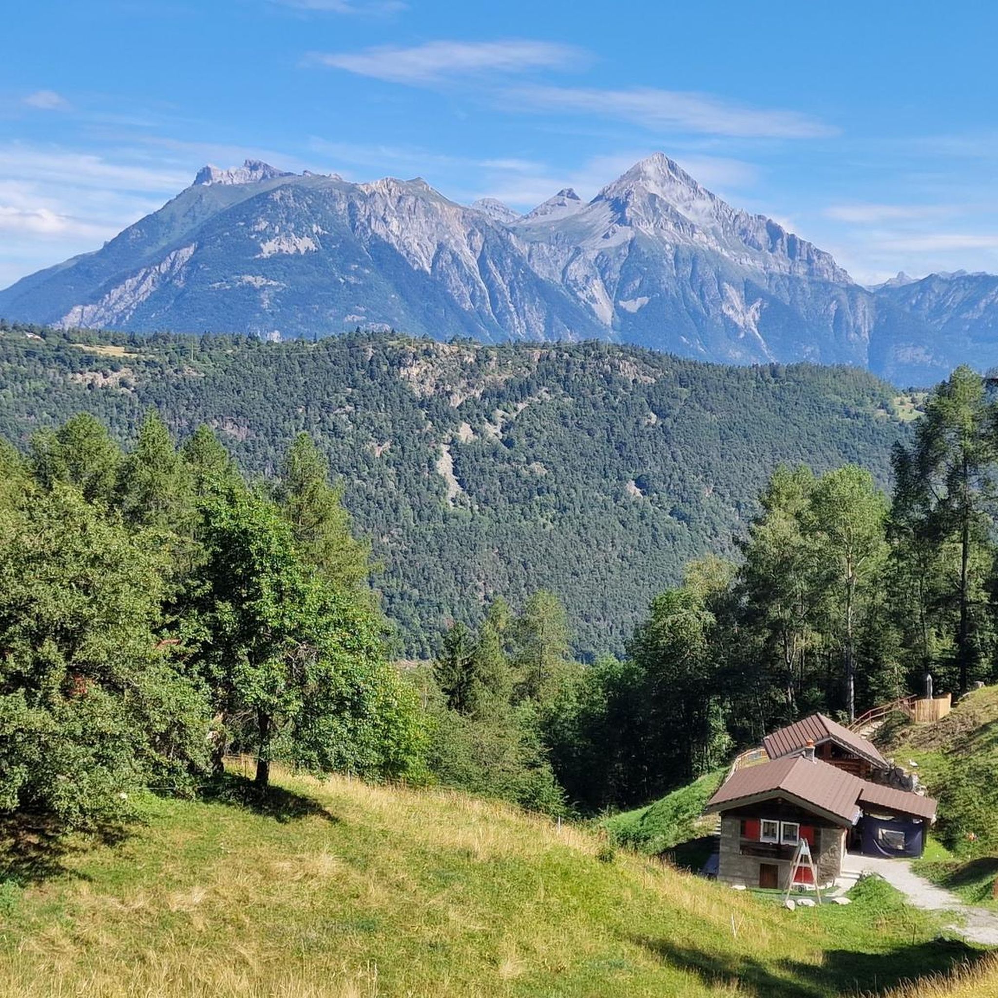
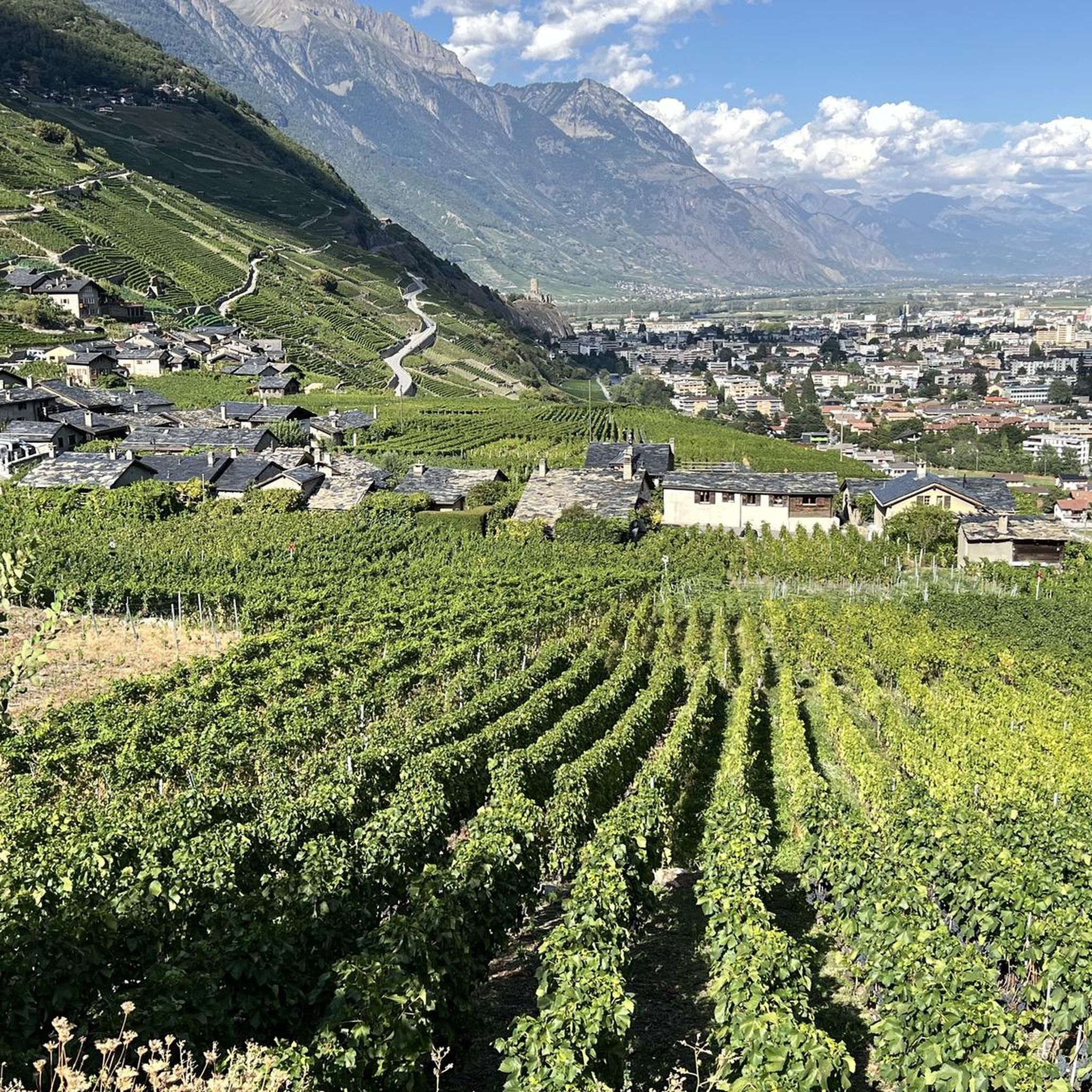
Gravel biking around Bovernier offers routes through the mountainous terrain of Valais, characterized by significant elevation changes and views of alpine valleys. The region features a mix of forested sections, open mountain paths, and routes alongside rivers like the Dranse. Gravel bike trails in this area often involve sustained climbs and descents, providing a challenging experience for riders.
Best gravel bike trails around Bovernier
- The most popular gravel bike trail is Finhaut — Boucle depuis Martigny, a 21.1 miles…
Last updated: July 2, 2026
13
riders
33.9km
03:36
1,100m
1,100m
Hard gravel ride. Very good fitness required. Mostly paved surfaces. Suitable for all skill levels.
5.0
(1)
11
riders
60.8km
05:27
1,960m
1,960m
Hard gravel ride. Very good fitness required. Mostly paved surfaces. Suitable for all skill levels.

Sign up for free
4.5
(2)
35
riders
44.9km
03:43
1,330m
1,330m
Hard gravel ride. Very good fitness required. Mostly paved surfaces. Suitable for all skill levels.
4.0
(2)
19
riders
23.2km
01:55
690m
690m
Hard gravel ride. Very good fitness required. Mostly paved surfaces. Suitable for all skill levels.
5.0
(1)
7
riders
32.7km
03:04
1,020m
1,020m
Hard gravel ride. Very good fitness required. Mostly paved surfaces. Suitable for all skill levels.
Get access to more routes and recommendations from other explorers.
Sign up for free
Already have an account?
Our route recommendations are based on thousands of hikes, rides, and runs completed by other people on komoot.
Start today with a free account
Your next adventure awaits.
Login or Signup


Tips from the Community

Sembrancher is located at the junction of the Bagnes and Entremont valleys. The town is situated on the slopes of the Catogne mountain, which can serve as a landmark for travelers coming from the Lake Geneva region.
0
0

Beautiful, smooth, never extremely steep and only a few cars even on weekends.
0
1

Charming passage in the old town of Martigny
1
0

It is one of the many ideal gravel trails in Entremont.
1
0
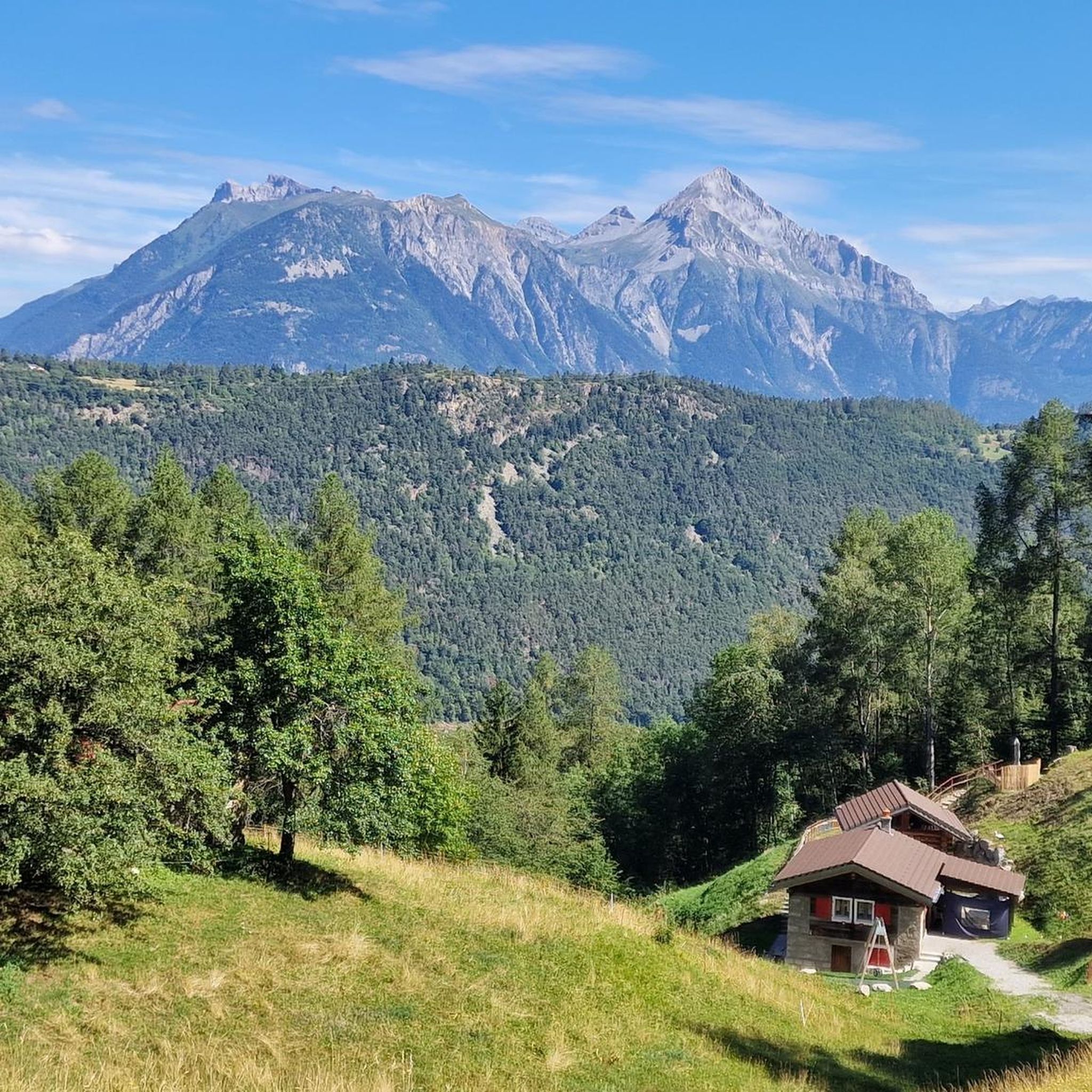
The rewards are the magnificent view of the Val de Bagnes and the cheese crust at the refreshment bar at the Col du Lein
2
0
A quality spot for Graveler
1
0

The Col road goes from Martigny at 471 m with an average gradient of about 9%, over the Col des Planches then descends to Sembrancher at 717 m with an average gradient of 7%. The view over the Rhone Valley is superb.
1
0

The original church dates from 1286 and had a bell tower and an adjoining chapel called the Chapelle du Sépulcre. The current church was built in 1686 and contains four altars: The main altar is dedicated to Saint-Étienne. The Rosary altar dates from 1861. The altar of Saint-Joseph is linked to the Holy Sepulchre. The altar of Sainte-Catherine. The masterpiece on the main altar, depicting the martyrdom of Saint-Étienne, was painted by Laurent Ritz.
6
0
Frequently Asked Questions
What is the general difficulty level of gravel bike trails around Bovernier?
Gravel biking in the Bovernier region is characterized by its challenging mountainous terrain. While there are a few easier options, the majority of the 23 available routes are considered difficult, featuring significant elevation changes and demanding climbs through alpine landscapes.
Are there any beginner-friendly gravel bike routes in Bovernier?
While most routes in Bovernier are challenging, there is at least one route categorized as easy and three as moderate. These offer a less strenuous introduction to gravel biking in the region, though riders should still be prepared for some elevation gain given the mountainous environment.
What kind of distances and elevations can I expect on Bovernier's gravel bike trails?
The gravel bike trails around Bovernier typically involve substantial distances and elevation changes. For example, the Finhaut — Boucle depuis Martigny route covers about 21 miles (34 km) with over 1,000 meters of elevation gain. Another challenging option, Col du Lein – Col des Planches loop from Martigny-Expo, is around 27 miles (44 km) with over 1,300 meters of ascent.
How long do gravel bike tours near Bovernier typically take?
Due to the significant distances and elevation, gravel bike tours in Bovernier can take several hours. For instance, the Finhaut — Boucle depuis Martigny route is estimated to take around 3 hours and 36 minutes, while the Le Planard Alpine Chalet – Old Town of Martigny loop from Martigny-Bourg typically takes about 3 hours.
Are there any circular gravel bike routes available in the Bovernier area?
Yes, many of the gravel bike routes around Bovernier are designed as loops, allowing you to start and end at the same point. Examples include the Col du Lein – Col des Planches loop from Martigny-Expo and the Val Ferret – Champex-Lac loop from Sembrancher.
What are some notable viewpoints or attractions along the gravel bike trails?
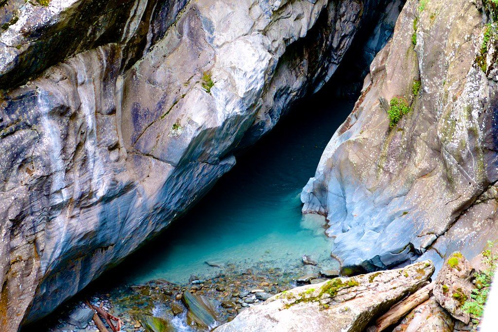
The region offers stunning views and natural attractions. You can find historical viewpoints along routes like the View of Chateau de la Batiaz – Route de la Diligence loop from Martigny. Additionally, nearby natural monuments include the Pierre Avoi Summit and the dramatic Trient Gorge.
Can I find waterfalls along gravel bike routes in Bovernier?
Yes, the Bovernier area is home to several impressive waterfalls that can be explored. Highlights include the Gorges du Durnand Waterfalls and the majestic Pissevache Waterfall, both of which are accessible and offer spectacular sights.
What is the best season for gravel biking in Bovernier?
The best season for gravel biking in Bovernier is typically from late spring to early autumn (May to October). During these months, the weather is generally more stable, and mountain passes are clear of snow, offering optimal conditions for exploring the alpine terrain and enjoying the expansive views.
What are the winter conditions like for gravel biking around Bovernier?
Winter conditions in Bovernier, particularly in the higher alpine sections, can be challenging due to snow and ice. Many trails may become impassable or require specialized equipment. It's advisable to check local conditions and forecasts before planning a winter gravel ride, and consider lower-elevation routes if available.
Is public transport available to access gravel bike trails near Bovernier?
Many routes in the Bovernier area, such as those starting from Martigny, are accessible via public transport. Martigny is a significant transport hub in Valais, offering train and bus connections that can facilitate access to various starting points for your gravel biking adventures.
Are there options for parking near the gravel bike trails in Bovernier?
Parking availability varies by trailhead. For routes starting in or near towns like Martigny, you can often find public parking facilities. For more remote trailheads, parking might be limited. It's recommended to check specific route details on komoot for information on parking at the chosen starting point.
What do other gravel bikers enjoy most about the Bovernier region?
The Bovernier region is highly rated by the komoot community, with an average score of 4.7 stars. Reviewers often praise the challenging nature of the routes, the stunning alpine landscapes, and the diverse terrain that includes forested sections, mountain paths, and river valleys.
Most popular routes around Bovernier
Most popular attractions around Bovernier

Get inspired with the komoot mobile app


Explore more
Browse the best Gravel rides in other regions.
